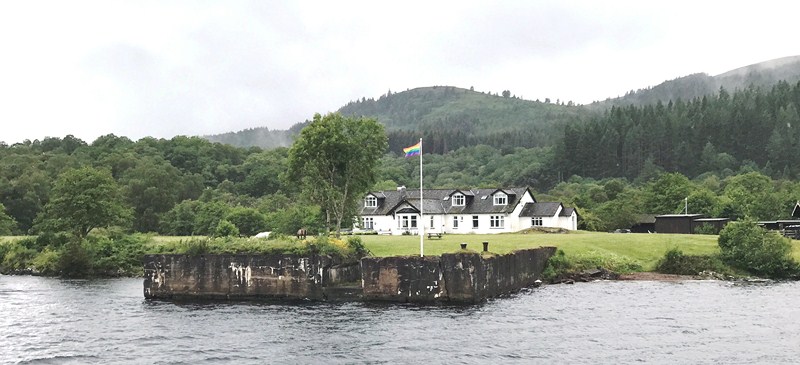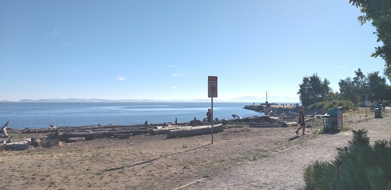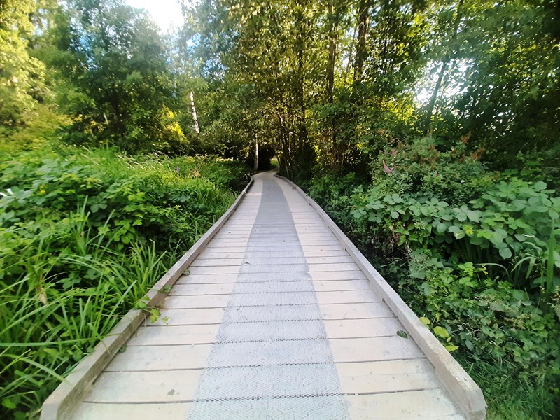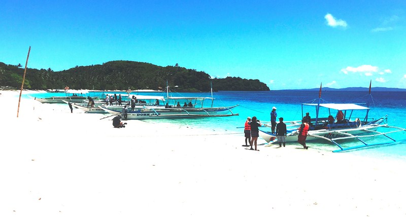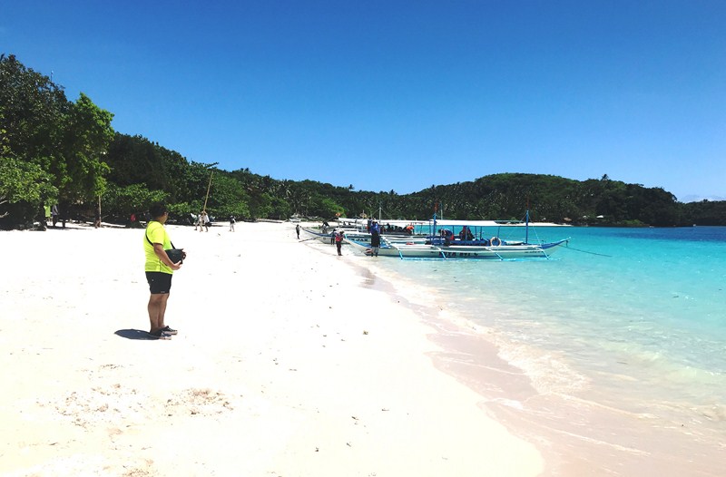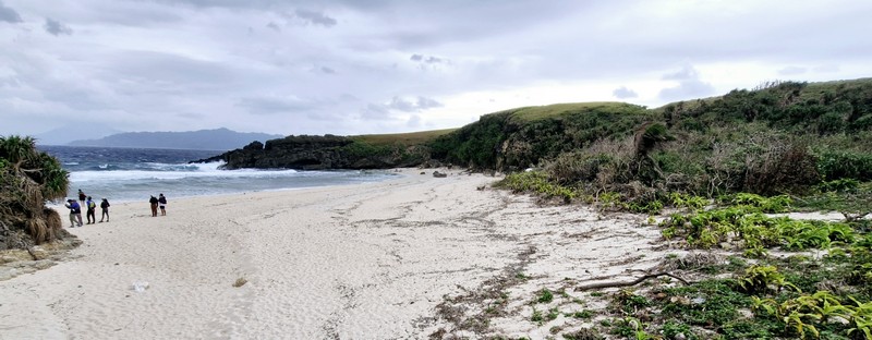
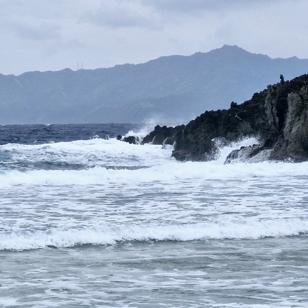
Upon arrival at Sabtang Port, we all boarded our van for the short 1.8-km. drive to our first part of our day tour of Sabtang Island – the short, 300 m. long, pristine white sand Morong Beach(also called Nakabuang Beach orWhite Beach).


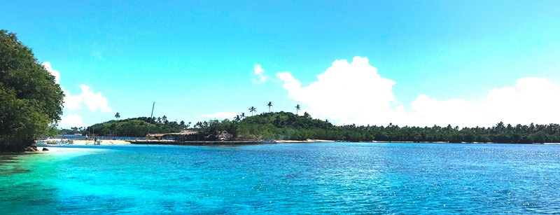
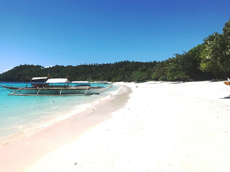
Noted for its wild and natural beauty and unique rock formations, it is surrounded low, grass-covered hills on all sides and is probably the most well-known of all the beaches fringing the coast of the island.
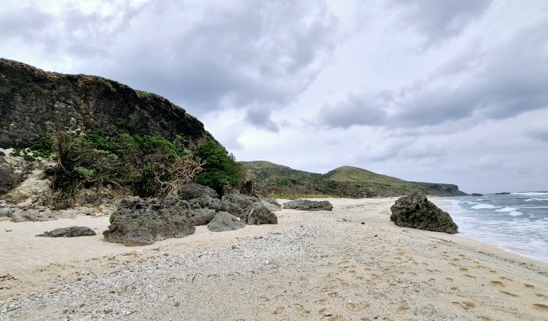
Despite the province’s usual rough weather, its less-ferocious, glass-like turquoise waters is peaceful and friendly enough for swimming, snorkeling and beachcombing. Giant sea turtles come here to lay their eggs and juvenile tiger sharks patrol its waters.
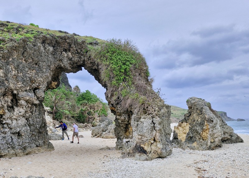
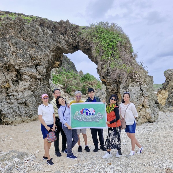
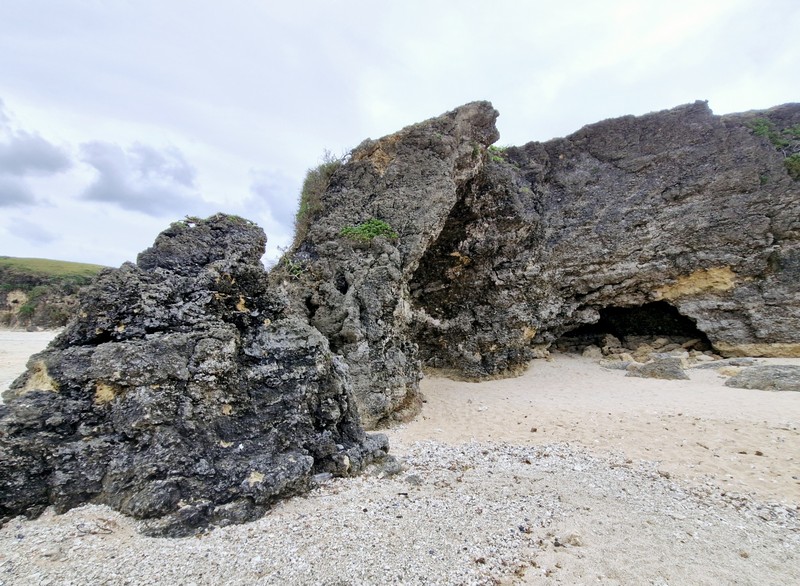
In one area of the beach is a natural sandstone rock formation, called Ahaw Arch or Nakabuang Arch, where you can pass through. It is iconic, not just for the island, but for Batanes as a whole. This rock formation is a favorite spot for picnickers.
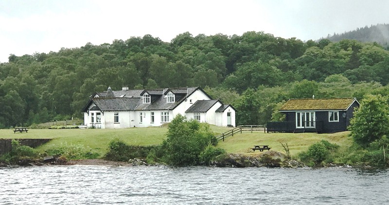
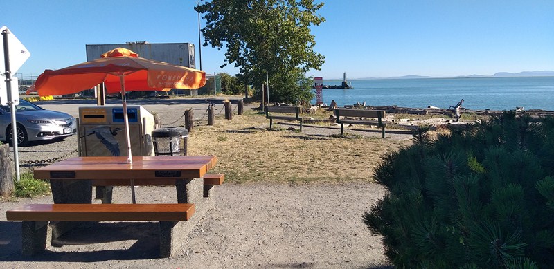
The beach’s few amenities include bathroom facilities and shaded areas with picnic tables. There are no cottages here. Along the beach is the Paypanapanayan Canteen which serves authentic Ivatan dishes. Also nearby is the Sabtang Weavers Association Café.
Morong Beach: Sitio Morong, Brgy. Malakdang, 3904 Sabtang.
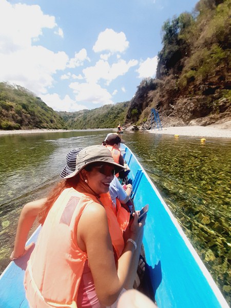
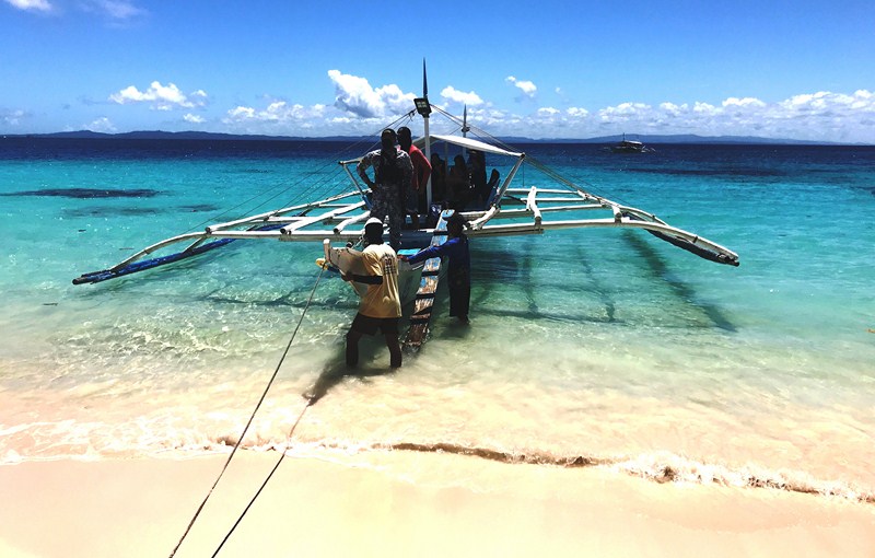
How to Get There: Sabtang, on Sabtang Island, is located close to the port. There are scheduled 30 to 45-minute early morning boat trips by falowa (round-bottomed boat) from Ivana’s Radiwan Port to Sabtang.
Sabtang Tourist Information Center: Brgy. Sinakan, 3904 Sabtang. Mobile number: (0929) 226-8055. E-mail: tourismsabtang@gmail.com.
Provincial Heritage and Tourism Office (PHTO): Mobile number: (0929) 230-5934. Website: www.breathtakingbatanes.com.