Morden Colliery Regional Trail (Nanaimo, British Columbia)

From Petroglyph National Park, it was just a short 10.1-km. (15-min.) drive to the 1.1-mile Morden Colliery Regional Trail (MCRT), a segment of a historical rail corridor that has become a popular regional and community route for walking, nature appreciation, horseback riding and cycling.

Check out “Petroglyph National Park”
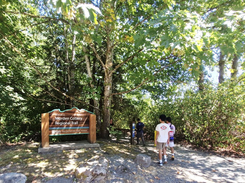
The Morden Colliery Regional Trail

This small 4-hectare provincial park, in south Nanaimo, gives you access to the only remaining coal tipple (a structure that loads coal into rail cars, much like a grain elevator unloads grain) on Vancouver Island. Not well-known, it can easily be considered a Vancouver Island hidden gem.
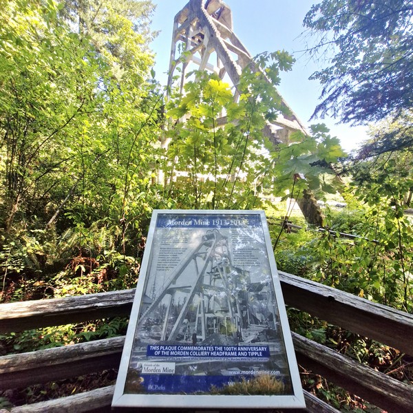
Known for its historical significance and natural beauty, this 4 km-long corridor of Provincial Crown Land located between Morden Colliery Historic Provincial Park (maintained and managed by the Regional District of Nanaimo), in South Wellington, and  Hemer Provincial Park in Cedar, is a unique, must-visit destination for anyone interested in Vancouver Island’s history or for those simply looking for a peaceful outdoor escape.
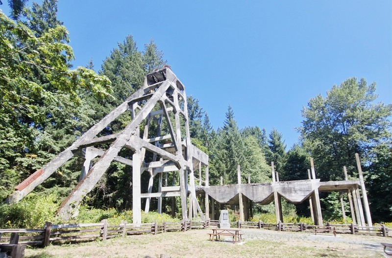
The concrete tipple

Because there is currently no bridge crossing the Nanaimo River, within the MCRT, the trail network of the MCRT consists of two separate segments – the 2 km-long North Segment, between Cedar Road and Hemer Provincial Park, and the 1-km. long South Segment between MCRT to the Nanaimo River. The Central segment of the MCRT, which runs approximately 1 km. through agricultural land from the Nanaimo River to Cedar Road, is currently undeveloped and requires two bridges to span the Nanaimo River.
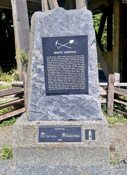
The Miner’s Memorial at the base

The MCRT runs along an old rail grade used to move coal, during the early years of the 20th century, from the mines of South Wellington to Boat Harbour. Between 1852 and 1938, coal mining was the main economic driver on Vancouver Island, and 10 small towns, notably Nanaimo, Ladysmith and Cumberland, were built because of it. In 1912, Pacific Coast Coal Mines, Ltd. (PCCM) began developing Morden Mine and, in its first year of operation, the Morden Mine produced 76,000 tons of coal.
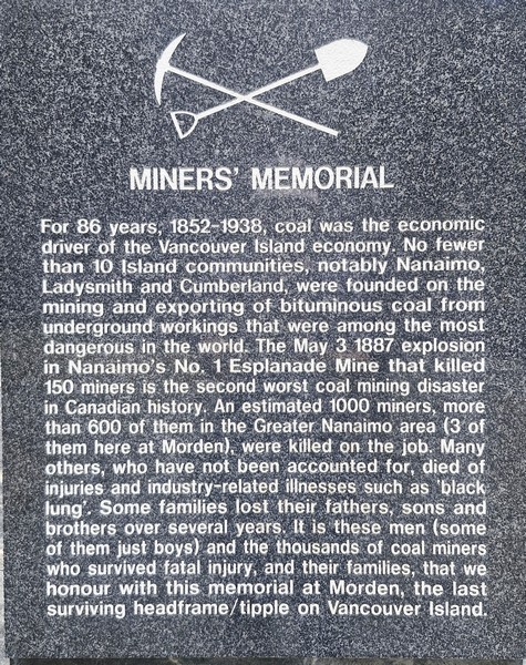
The memorial plaque

However, from 1913 to 1914, a miners’ strike disrupted operations. During that time, a 22.7-m. (74.5-ft.) high reinforced concrete head-frame, the first in the district, was constructed.
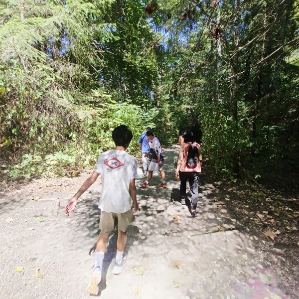
Hiking the RDN Trail

Despite modern equipment and investment, Morden Mine was not as successful as investors had hoped and never succeeded. After the strike ended, underground work resumed, but the mine struggled with poor air quality, causing frequent illnesses among the miners.  Between union strikes and unfavorable economic conditions, production stopped in 1921 and the closure caused PCCM to go bankrupt the following year. In 1930, the Canadian Coal and Iron Co. rehabilitated the mine, but production didn’t even last a full year, and the mine officially closed in 1931.
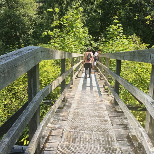
Crossing a wooden bridge along the trail
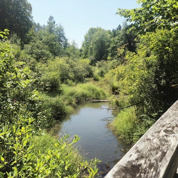
A creek we had to cross via the bridge

In 1972, to protect and preserve remnants of the Nanaimo region’s coal mining history, the area was turned into a provincial park (largely due to the efforts of George Wilkinson, a prominent Vancouver businessman) and recognized as a National Historic Site of Canada but, despite the designation, little was done to preserve the remaining structures. In 2003, “Friends of Morden Mine,” a group of concerned citizens, got together to try to save the remains.
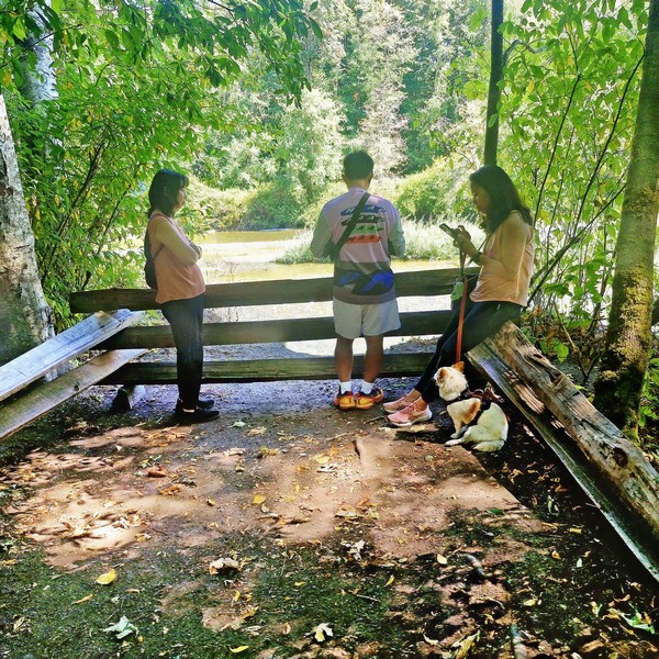
The viewpoint at the end of the trail

In 1995, the Regional District of Nanaimo (RDN), under license from the Province of British Columbia, initiated development of the MCRT corridor for recreational trail use. In 2019, the Government committed $1.4 million to restore the concrete headframe and tipple structure at Morden Colliery Historic Provincial Park.  Consequently, at the same time, improvements were made at the park.
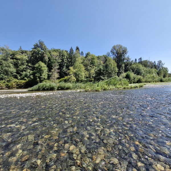
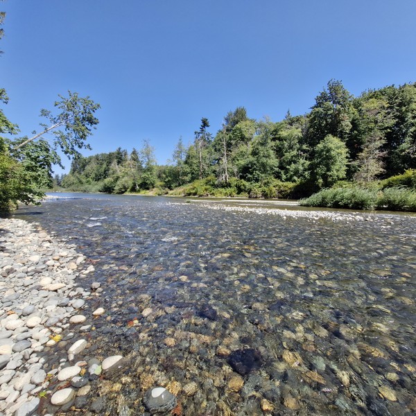
The Nanaimo River

Upon arrival at Morden Colliery Historic Provincial Park, we parked the car just across the concrete Morden Mine tipple, its remaining concrete head-frame standing as a rare monument to Vancouver Island‘s coal mining history.  The first of its kind in North America (before 1913, tipple were usually made of wood) it is, ironically, one of only two left standing (the other is the O’Gara Coal Mine No. 12 Tipple, built in 1923, in Muddy, Illinois) and the only one in Canada.


A memorial, at its base, commemorates the estimated 1,000 miners who were killed doing this very dangerous job, with 600 in the Greater Nanaimo area and 3, in particular, at the Morden Mine, as well as the unfortunate workplace deaths that do not include those who died of industry-related illnesses, such as black lung, of which there were many.
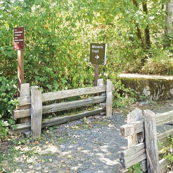
The Miner’s Trail

From Morden Colliery Historic Provincial Park, we first hiked the wide, 1.2-km. long and fully accessible gravel path, with two wooden bridges, developed by the RDN. The RDN Trail lead to a view deck overlooking a quiet and tame section of the Nanaimo River. Currently, one can only cross the river on foot (getting wet in the process) but, eventually, the RDN hopes to build a bridge connecting Morden Colliery Historic Provincial Park with Hemer Provincial Park in Cedar.
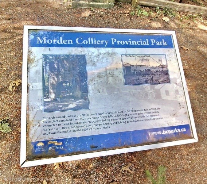
Back at Morden Colliery Historic Provincial Park, we then walked along the short Miners Trail that follows the old rail grade used to move coal at the mine.  There were plenty of signs to guide us.  Along the way, we saw remnants of the mining operation that once took place here.
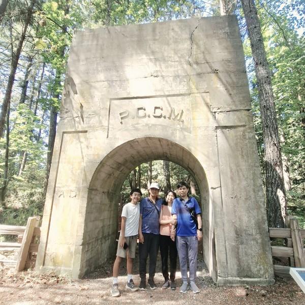
Kyle, the author, Grace and Jandy under The Arch

The concrete “Arch,” the surviving heavy structural base of a 60-ft. high, 56-in. diameter industrial smokestack, was built around 1913 by the Pacific Coast Coal Mines (PCCM), and once supported the boiler plant (with 3 150 horsepower Goldie & McCulloch high pressure boilers) that powered the historic mine site’s ventilation, pumps, heating and lighting as well as the winches to raise and lower the buckets up the 600-ft. main air shafts.
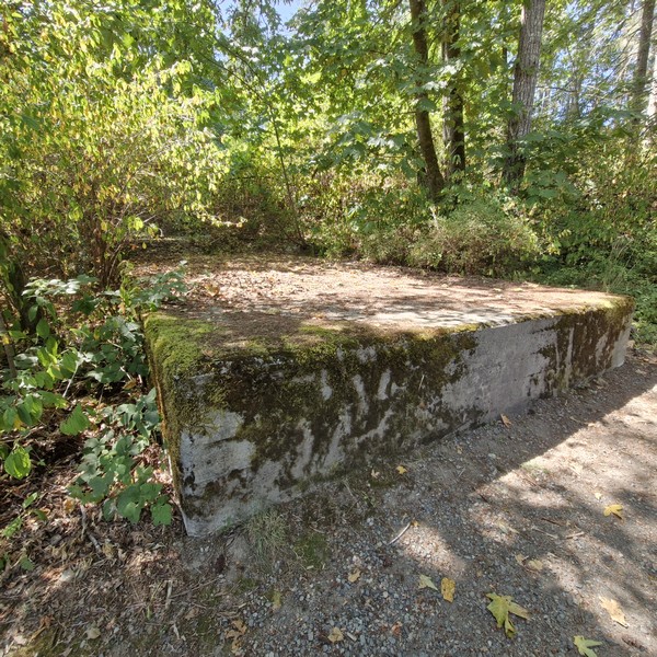
Remains of the concrete foundation

Near the towering headframe ruins are the foundations and structural remnants of the hoist house that housed the electric winding engines and heavy cable spools used to operate the skip/cage system, the electric winding machinery to raise and lower workers and coal cars via dual steel cables sunk roughly 180 m. (600 ft.) down to the main coal seam, in the concrete headframe.
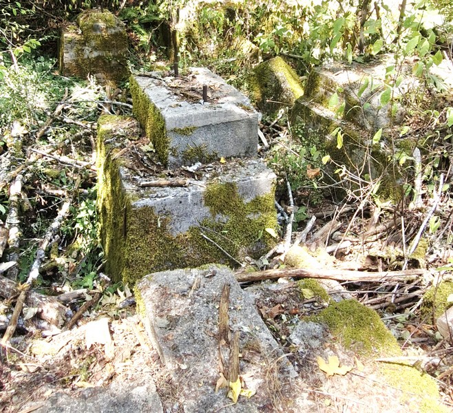
Another remnant of the concrete foundation

Morden Colliery Regional Trail: 1L7, 1840 Cedar Rd., Nanaimo, British Columbia V9X 1H9.  Tel: (250) 390-4111.

How to Get There: Morden Colliery Historic Provincial Park is located 7 kms. south of Nanaimo. It is accessible off Highway 1 on Morden Road.
Petroglyph Provincial Park (Nanaimo, British Columbia)

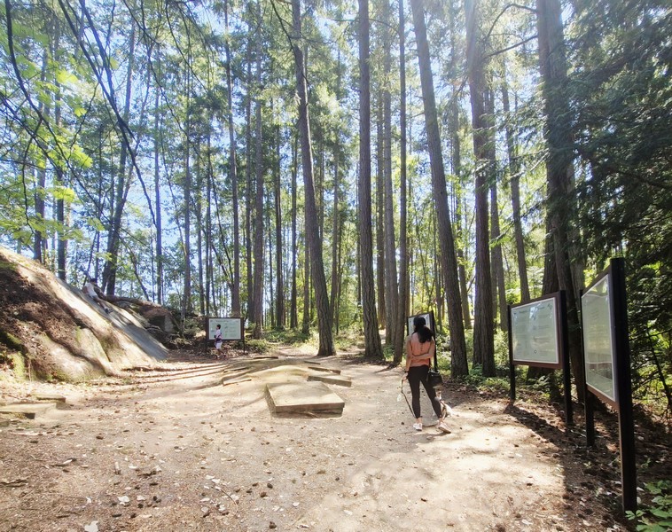
On our second whole day in Nanaimo, we decided to visit the small, 2-hectare Petroglyph Provincial Park, a short 8.2-km. (15-min.) drive from our motel. From the parking lot, a short walkway lead to an interpretive area with information boards that offer details about the history of the area and help to decipher the petroglyphs.

Main interpretive area at Petroglyph Provincial Park with casts and information boards

Established on August 24, 1948, the provincial park protects a remarkably high concentration of petroglyphs, date to at least the 10th century CE,  found near the estuary of the Nanaimo River.  These carvings depict mythological sea creatures, human figures, and animals that are symbolic of the spiritual and cultural history of the Coast Salish and Snuneymuxw First Nations.

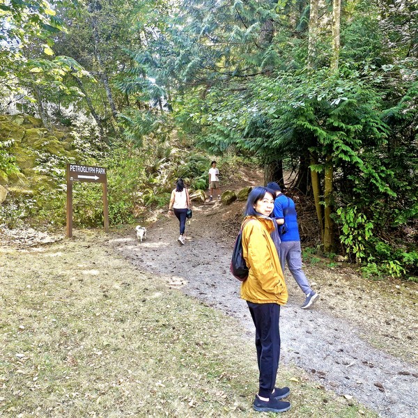
Cheska, Kyle, Grace and Jandy at the entrance of the park trail

The locations of these traditional prehistoric rock art carvings were chosen carefully, almost always made at places of power or mystery, where forces of nature were believed to be especially strong. These areas are usually marked by a natural feature such as a waterfall,  rock formation or caves, and most are near water.

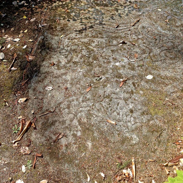
Hard to verify, but I’m guessing this is one of the original petroglyphs.

Slightly further up the trail is the large sandstone gallery area, located on a hill overlooking Nanaimo Harbor, covered in the real petroglyphs and moss. The images, depicting everything, from mystical wolf-like creatures to fish and human figures, were made for a variety of reasons, including territorial ownership and to commemorate special events among a people with no written language.

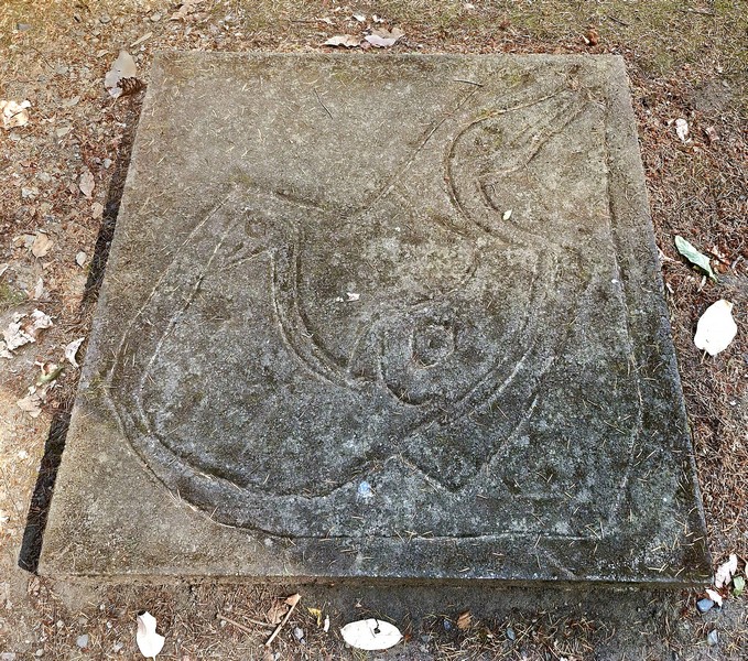
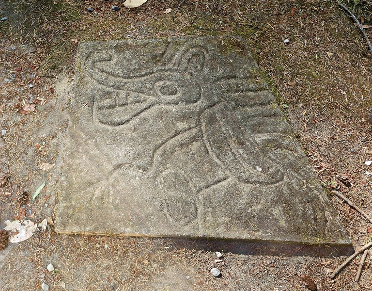
A cast of a pteroglyph, probably a mythological sea creature

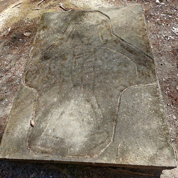
Eight concrete replica castings of the petroglyphs can be found in the main interpretation area. Here, visitors can make rubbings of the castings by stretching cloth or paper across the carving and lightly rubbing with a crayon, charcoal or wax, which leaves a reverse imprint. These rubbings make a great souvenir of a visit to this intriguing and educational park. 

A cast of a petroglyph, probably a human figure

To protect the petroglyphs and surrounding vegetation, we stayed on the designated trails. Over or near to the original ancient indigenous artwork are more modern unauthorized rock carvings, including English letters, added by vandals.

A cast of a petroglyph, probably a wolf-like creature

Petroglyph Provincial Park: .990-960, Trans-Canada Highway, Nanaimo, British Columbia.  Tel: (250) 474-1336. Open daily, 7 AM – 10 PM.  Coordinates: 49°08′27″N 123°55′36″W.

How to Get There: It is located 4 kms. (2.5 mi.) south of the city of Nanaimo, on a hill overlooking Nanaimo Harbour. Access to the park is via a pull-off from Highway 1. Watch for signs. The parking area is a pull off, next to Highway 1. From there, it is a short walk to reach the petroglyphs, less than 500 m. in a loop.

Brickyard Beach (Gabriola Island, British Columbia)

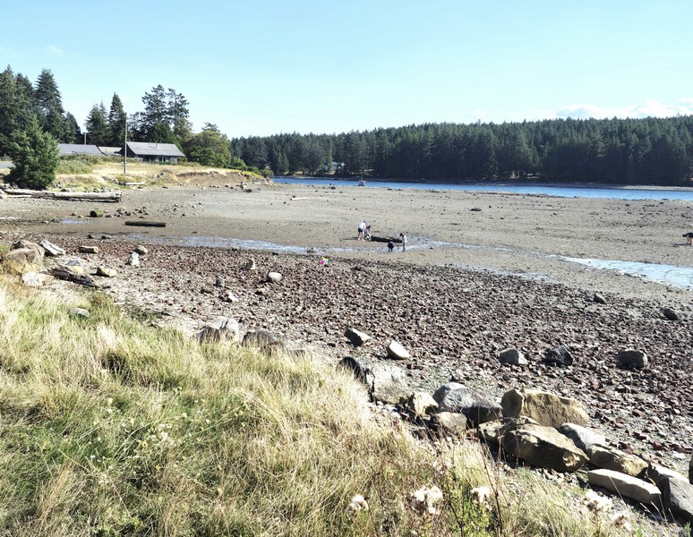
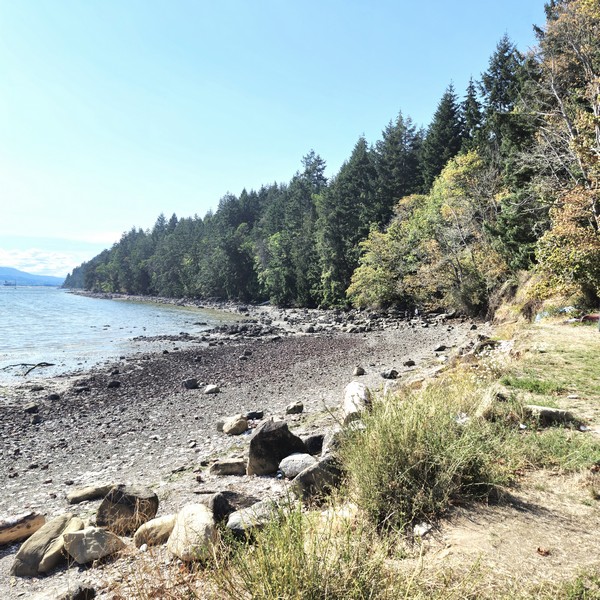
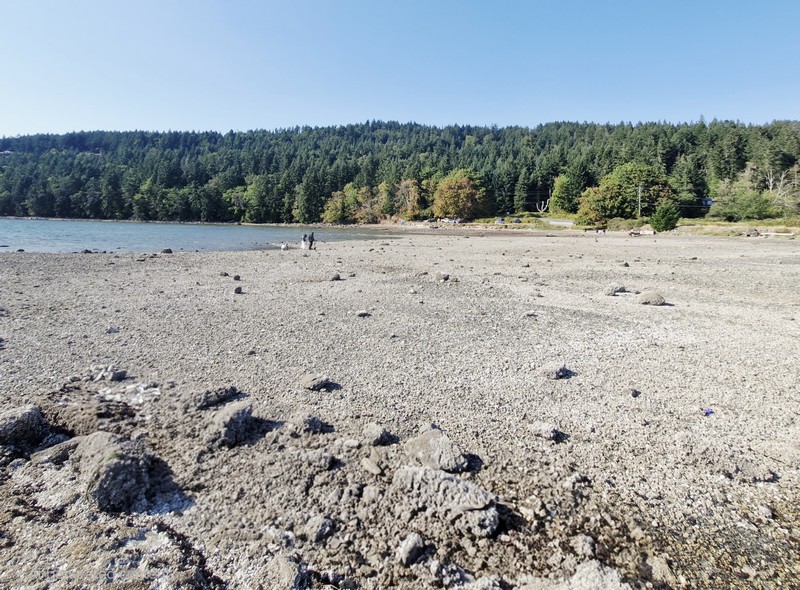
From Malaspina Galleries Community Park, we next drove 9.8 kms. (a 15-min. drive) to Brickyard Beach, a rocky beach rich in industrial history located on the southwest coastline of Gabriola Island. The beach is located on False Narrows that separates Gabriola Island from Mudge Island and Vancouver Island.

Check out “Malaspina Galleries Community Park”

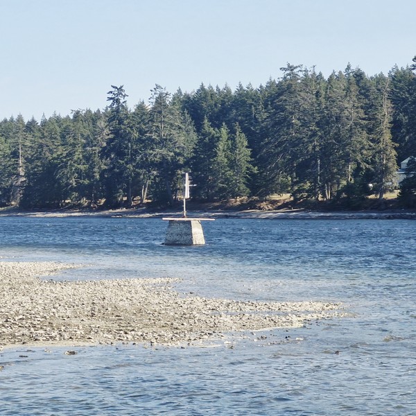
Brickyard Beach with Mudge Island, across False Narrows, in the background

It was once the site of Gabriola Brickyard, the largest industry and employer (of Gabriolans and Chinese contract workers) on the island. From 1890 to 1950, it was actively producing, all by hand, up to 80,000 bricks per day. The work was difficult, noisy, and dirty, but the bricks were used for construction of buildings in Nanaimo, Victoria, Vancouver and New Westminister in British Columbia.


The brickyard was located at the base of Brickyard Hill, just north of Ferne Road. The raw material was plentiful blue and brown shale, extracted on the hill by the beach, which was crushed to make clay. There was no electricity at Gabriola at the time and the plant operated on steam pumps heated by local firewood and cheap coal from Nanaimo. To heat the crushed shale, workers shoveled coal and wood into a fire and pressed the shale into bricks, four at a time, using a hand-operated hydraulic press.
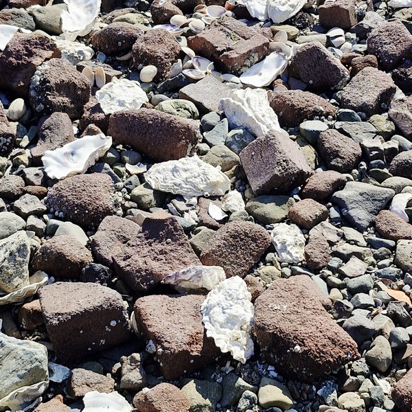
Remnants of bricks mixed with sand, clam shells and pebbles

The ease of transportation, by ocean, made the location functionable.  During low tide, the bricks were loaded onto scows that departed from the shore, with the high tide, for shipping. In 1952, because construction techniques had advanced beyond bricks, production ceased and the plant was closed and, a little later, the kilns and buildings were dismantled and the area was bulldozed and cleared.

Brush and undergrowth have now reclaimed most of the site but pieces of misshapen, defective or broken “Dominion” brand red bricks, that were culled by workers on the beach, have remained there still, mixed with the sand and pebbles.  That’s how Brickyard Beach turned out. Today, there is still evidence of the old bricks located throughout the beach. However, because of storms, winds and human activity, most are crushed and mixed in with the sand and pebbles.

Today, little remains of the Gabriola Brickyard except for piles of broken bricks heavily littered on Brickyard Beach and the name of the steep hill on South Road. Enterprising locals still dig these historic bricks out of the banks. From the shore of the beach, it is easy to see Mudge Island (where orcas are frequently spotted) and the Pylades Islands and there are views of birds and marine activity as boats and kayaks often explore the area. The False Narrows is a busy marine route used frequently by sailboats, fishing vessels and yachts.
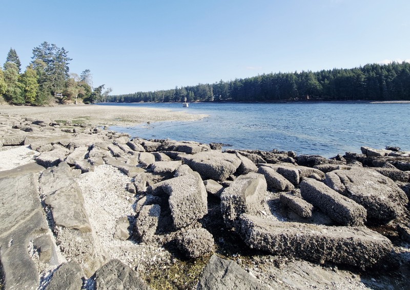
False Narrows. In the foreground are debris which, I am guessing, are probably from the dismantled factory and kilns

During low tide, the ocean water recedes, revealing a land of tidal pools that are full of marine life like sea anemones, crabs and star fish. There are opportunities for birdwatching and wildlife viewing like sea birds, predator birds, seals and more. Brickyard Beach, a launch and landing point for kayaking (the close proximity to the bays and coves on Mudge Island and the Pylades Islands makes the beach ideal for launching a kayak), is also a popular location for beachcombing, clam digging, gathering oysters and sightseeing.

Brickyard Beach: 1633 South Rd., Gabriola, British Columbia V0R 1X6.

How to Get There: A ferry leaves, almost every hour, for Descanso bay Ferry Terminal on Gabriola Island, from Nanaimo Harbor.  The crossing takes 25 mins. From Descanso bay Terminal, it is a 7.3-km. (4.5-mi.)/10-min. drive to the beach. Drive up Ferry Hill onto North Road, connect toward South Road, and follow it southeast to 1633 South Road.
Osaka Castle Park (Osaka, Japan)

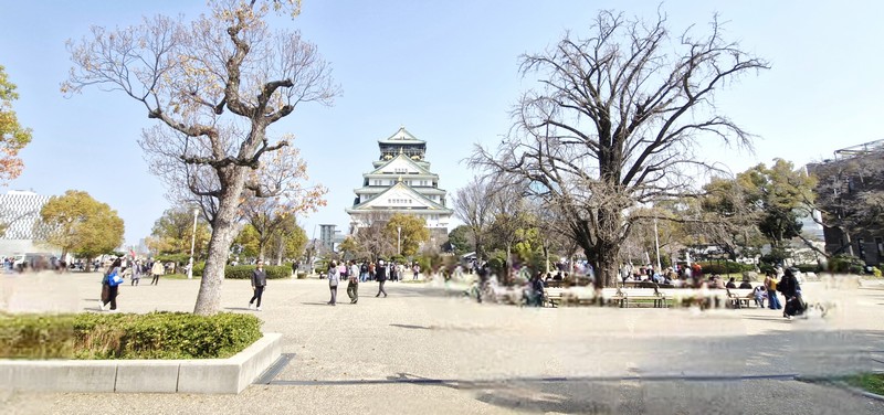
Osaka Castle Park

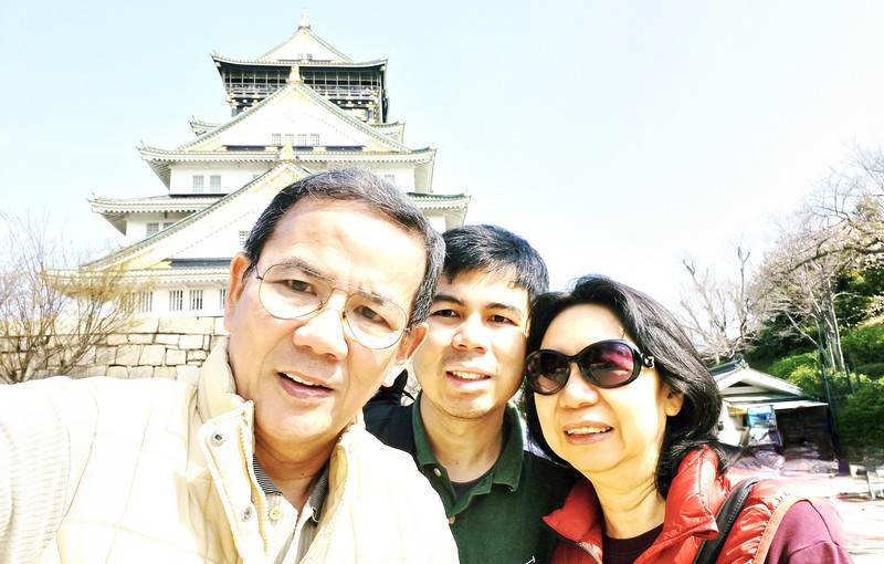
On our second whole day in Japan, we began our Osaka city tour with a stopover at 105.6-hectare (about 260 acres) Osaka Castle Park (known as Osakajo-koen in Japanese), a public urban park and historical site opened to the public in 1931.  The second largest park in the city, it lies on the south of the Ōkawa (Kyū-Yodo River) and occupies a large area in the center of the city of Osaka. It was well worth a visit, even if we didn’t intend to enter the castle. 

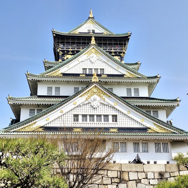
Osaka Castle

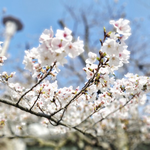
Forming the most attractive part of Osaka, here we can also view and enjoy seasonal flowers such as plum blossoms, 3,000 cherry blossoms (we arrived at the last week of March) and azaleas. This green and spacious expanse, built around the awe-inspiring tower of Osaka Castle (known as Osaka-jo in Japanese, the present castle is a concrete reconstruction that was finished in 1995), provided a pleasant escape from the otherwise crowded and concrete expanses of the rest of the city. 

Cherry blossoms

The castle grounds, which cover approximately 61,000 sq. m. (15 acres), contains 13 structures, around the 55 m. high main central tower, that were denoted as “Important Cultural Assets” by the Japanese government. They are Otemon Gate, Sakura-mon Gate, Ichiban-yagura Turret, Inui-yagura Turret, Rokuban-yagura Turret, Sengan Turret, Tamon Turret, Kinmeisui Well, Kinzo Storehouse and the Enshogura Gunpowder Magazine.

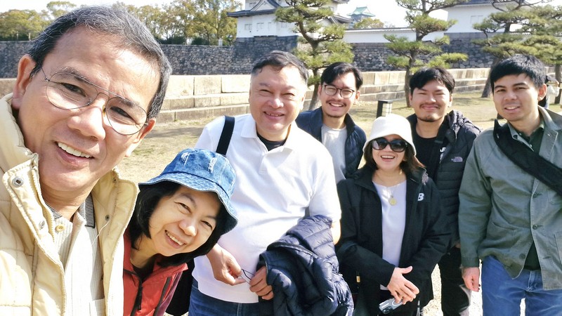
The author, Grace, Mark, Miguel, Nenette, Matthew and Jandy at Osaka Castle Park
The author, Jandy and Grace

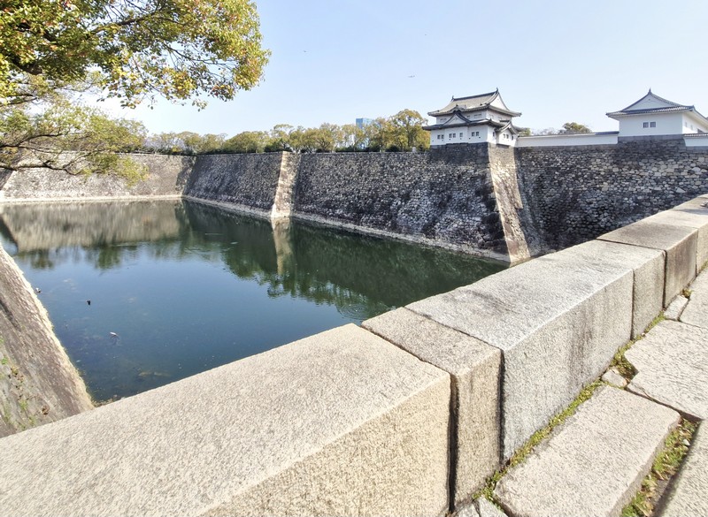
Surrounding the main keep are a series of moats and defensive fortifications. The castle has an inner and an outer moat. The former, lying within the castle grounds, consists of two types: wet (northern-easterly) and dry (south-westerly), while the latter surrounds the entire castle, denoting its outer limits, and consists of four water-filled sections, each representing a cardinal direction (North, East, South, West).

Castle moat

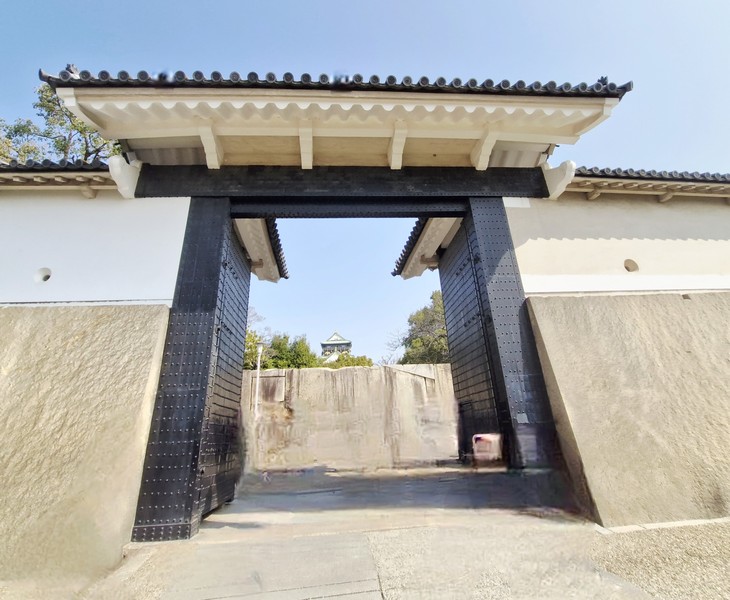
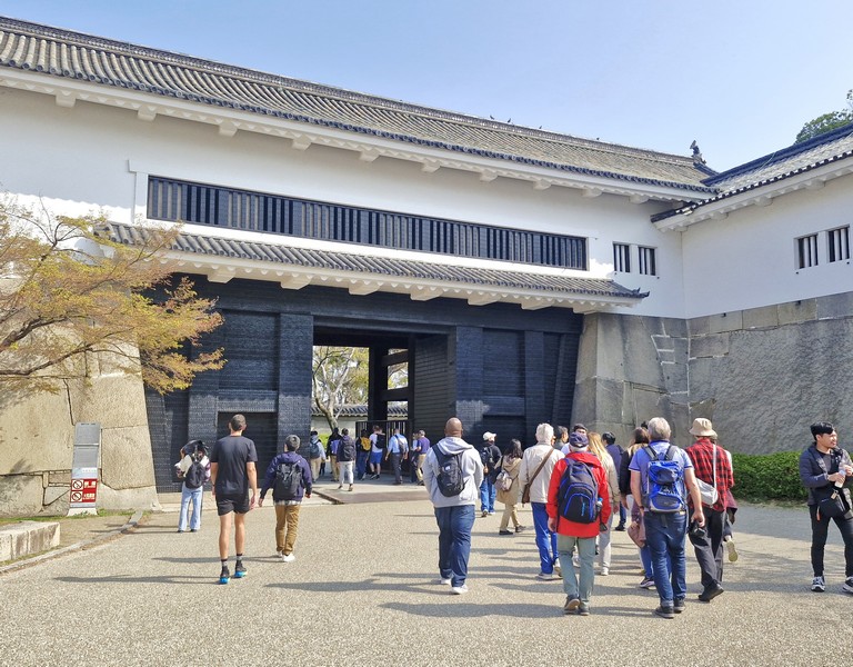
Aoyamon Gate, in the northeast, and Ote-mon Gate, in the opposing southwest, are two main sentry checkpoints at the outer moat. Three sections of ‘dobei’ mud-and-plaster wall, all located around the Otemon Gate, all have their own Important Cultural Property status.

Otemon Gate

There are also some megaliths, with no cultural property status, at the castle, including the Takoishi (Octopus stone). The Fushimi-yagura Turret Remains, Ensho-gura Gunpowder Storehouse, Osaka Geihinkan, Hoshoan Tea House, Osaka Castle Nishinomaru Garden, Sengan-yagura Turret, Tamon-yagura Turret, Remains of Taiko-yagura Turret, Osaka Shudokan Martial Arts Hall, Hokoku Shrine (Osaka), Ichiban-yagura Turret (the first turret), and Plum Grove are all located between the inner and outer moat.

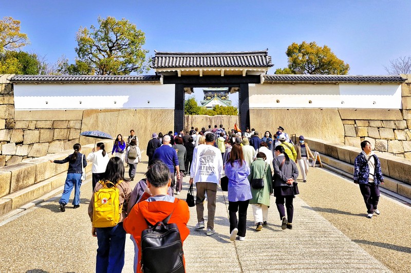
Sakuramon Gate

You can cross the inner moat via the Gokuraku-bashi Bridge (or Paradise Bridge), located in the north, and Sakuramon Gate, the main sentry point in the south.

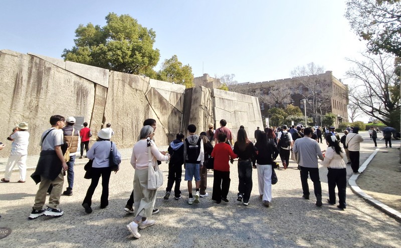
Huge stones at Sakuramon-masugata Square

The Hommaru (Inner Bailey) and the Yamazato-Maru Bailey divides the castle into two major areas within the inner moat. The Main Tower, the Kimmeisui Well, the Japanese Garden, the Takoishi (Octopus Stone), the Gimmeisui Well, the Miraiza Osakajo Complex, the Kinzo Treasure House, and the “Time capsule Expo’70” are located within the Hommaru while the Marked-Stones Square, and the Monument commemorating “Hideyori and Yodo-dono committing suicide” are within the Yamazato-Maru, Bailey.

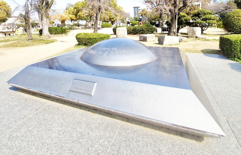
Expo ’70 Time Capsule

The Time Capsule Expo ’70 is a stainless-steel monument which marks the site of the 1970 Japan World Exposition time capsule buried 15 m., in 1971, by Panasonic and The Mainichi Newspapers.  The two identical capsules contain 2,098 everyday items from 1970 Time Capsule Expo ’70.

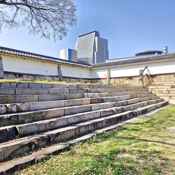
Site of Ichi-tamon Turret
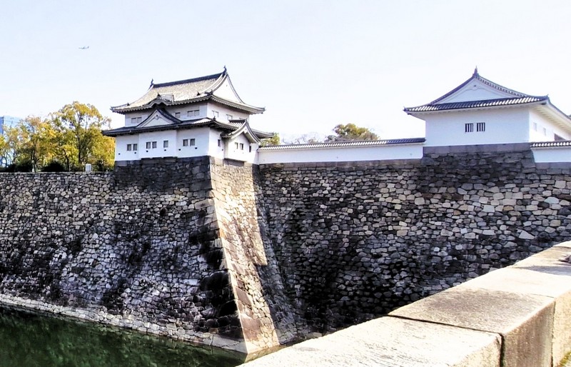
Sengan-yagura Turret

In the park, there is Osaka Castle Hall, a large athletic field, baseball field, football field, open-air music theatre, open-air concert hall, and Osaka Castle Keep Tower where, from its top, the vista includes Osaka Bay to Mount Ikoma, which surround the Osaka Plain. Many busking groups perform in the park.

Tamon-Yagura Turret

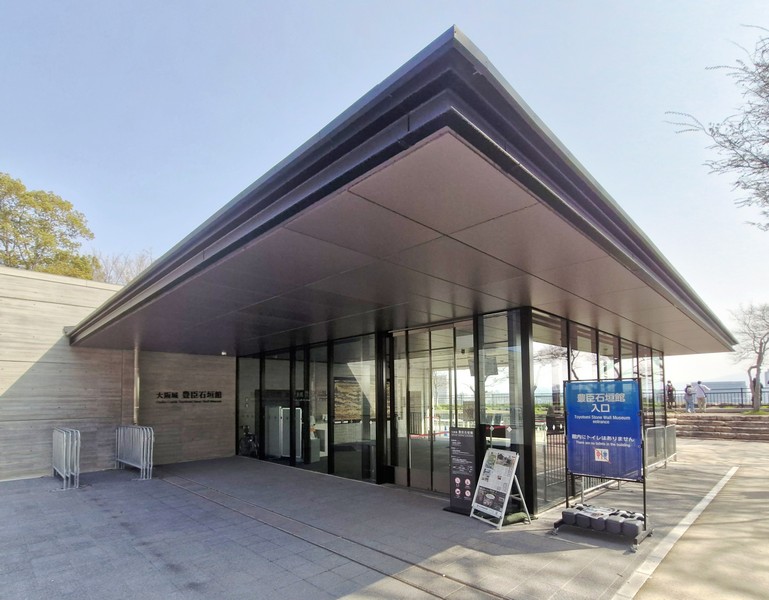
The Toyotomi Stone Wall Museum, opened to the public last April 2025, allows visitors to view, firsthand, the original Toyotomi stone walls that had been hidden, for over 400 years, since the Toyotomi forces were defeated in the Summer Campaign of Osaka in 1615 and the Tokugawa Osaka Castle was built over them.

Toyotomi Stone Wall Museum

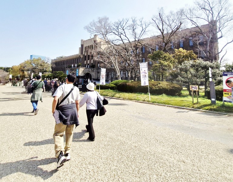
The three-storey Miraiza Osaka-Jo, right beside the iconic Osaka Castle Main Tower, is a historical complex housed in a former military headquarters built in 1931.  It offers the Kaiyodo Figure Museum, rooftop cafes with castle views, and samurai and ninja experiences where you can dress up in authentic gear and try stage combat sword-fighting in the basement.

Miraiza Osaka-Jo

Osaka Castle Park: 1-1 Osakajo, Chūō-ku, Osaka, 540-0002 Japan. Admission is free. Tel: 06-6755-4146. Coordinates: 34°41′14″N 135°31′33″E.

How to Get There: On Osaka Metro Tanimachi Line, get off at Tenmabashi or Tanimachi 4-chome Station. On Osaka Metro Chuo Line, get off at Morinomiya or Tanimachi 4-chome Station. On the JR Loop Line, get off at Morinomiya or Osaka Castle Park Station.

St. Augustine Metropolitan Cathedral (Cagayan de Oro City, Misamis Oriental)

St. Augustine Metropolitan Cathedral

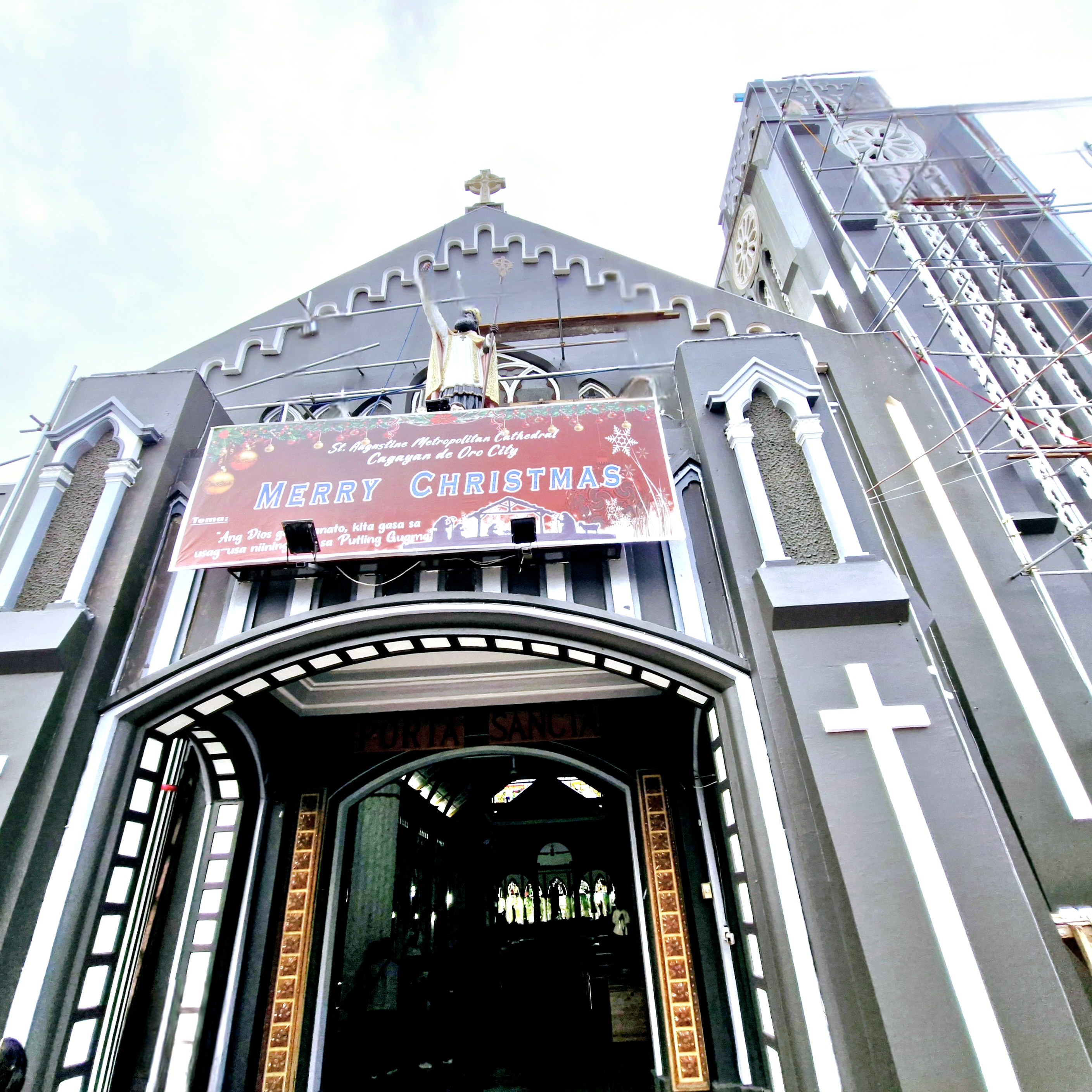
Just walking distance from the City Museum of Cagayan de Oro and Heritage Studies Center is the Neo-Gothic-style St. Augustine Metropolitan Cathedral, the ecclesiastical seat of the Archdiocese of Cagayan de Oro (canonically erected on January 23, 1933).

Check out “City Museum of Cagayan de Oro and Heritage Studies Center“

The Neo-Gothic-style facade

This church was first built in 1624 by Father Agustin San Pedro but both church and convent burned down in 1778.  Rebuilt in 1780 by Father Pedro de Santa Barbara, it again burned down in 1831.

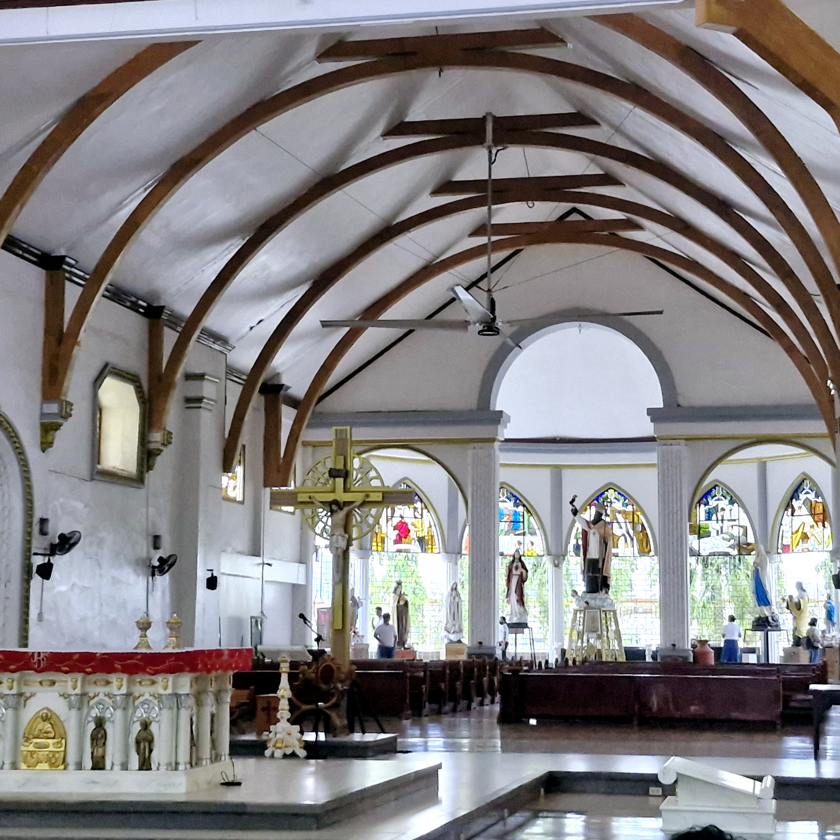
The cathedral interior

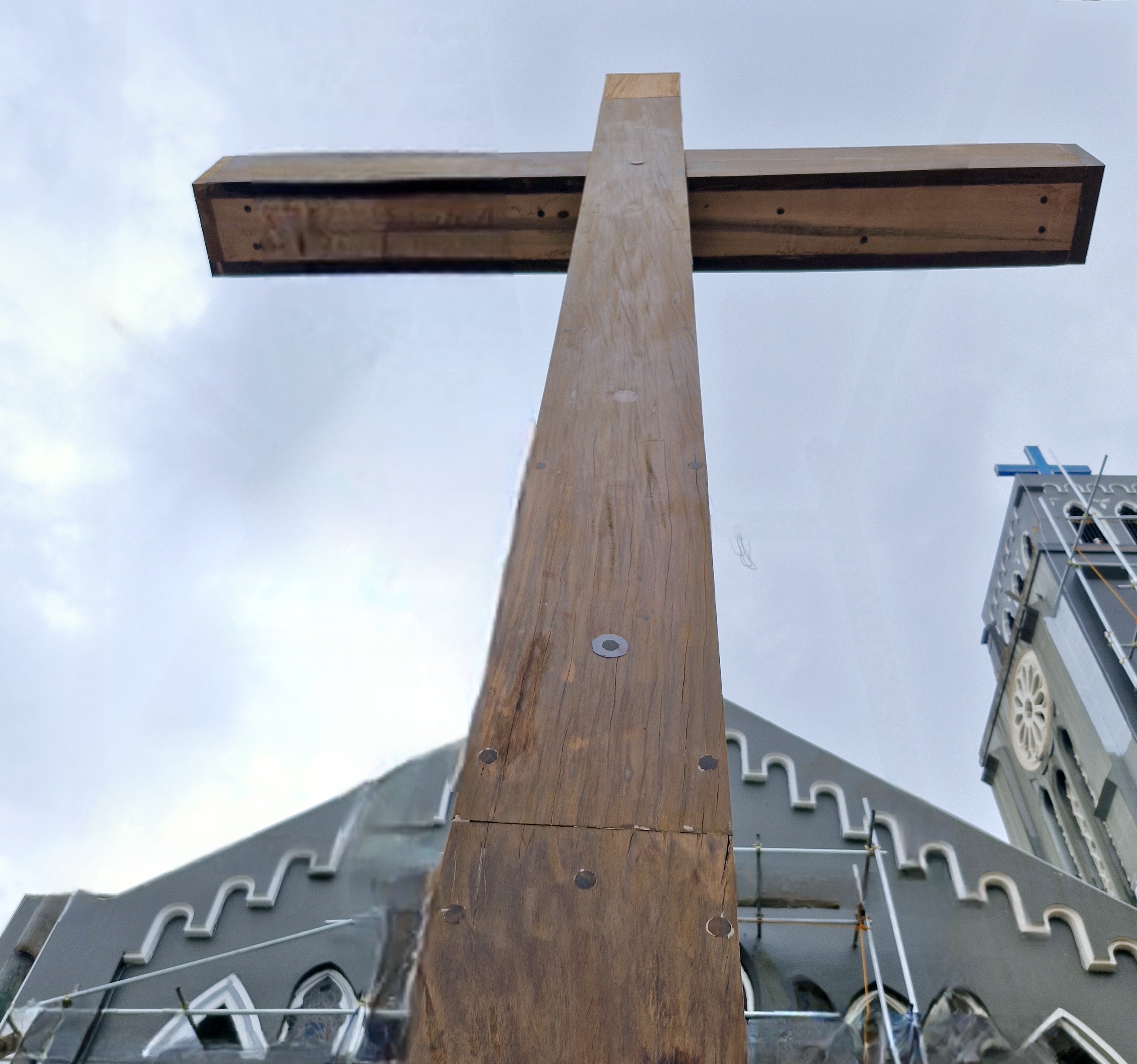
In 1845, it was rebuilt with coral stones imported from China by Augustinian Recollect Father Simon Loscos de Sta. Catalina but it was destroyed during the World War II bombardment in 1945.  Only the facade and the wooden cross in front survived.

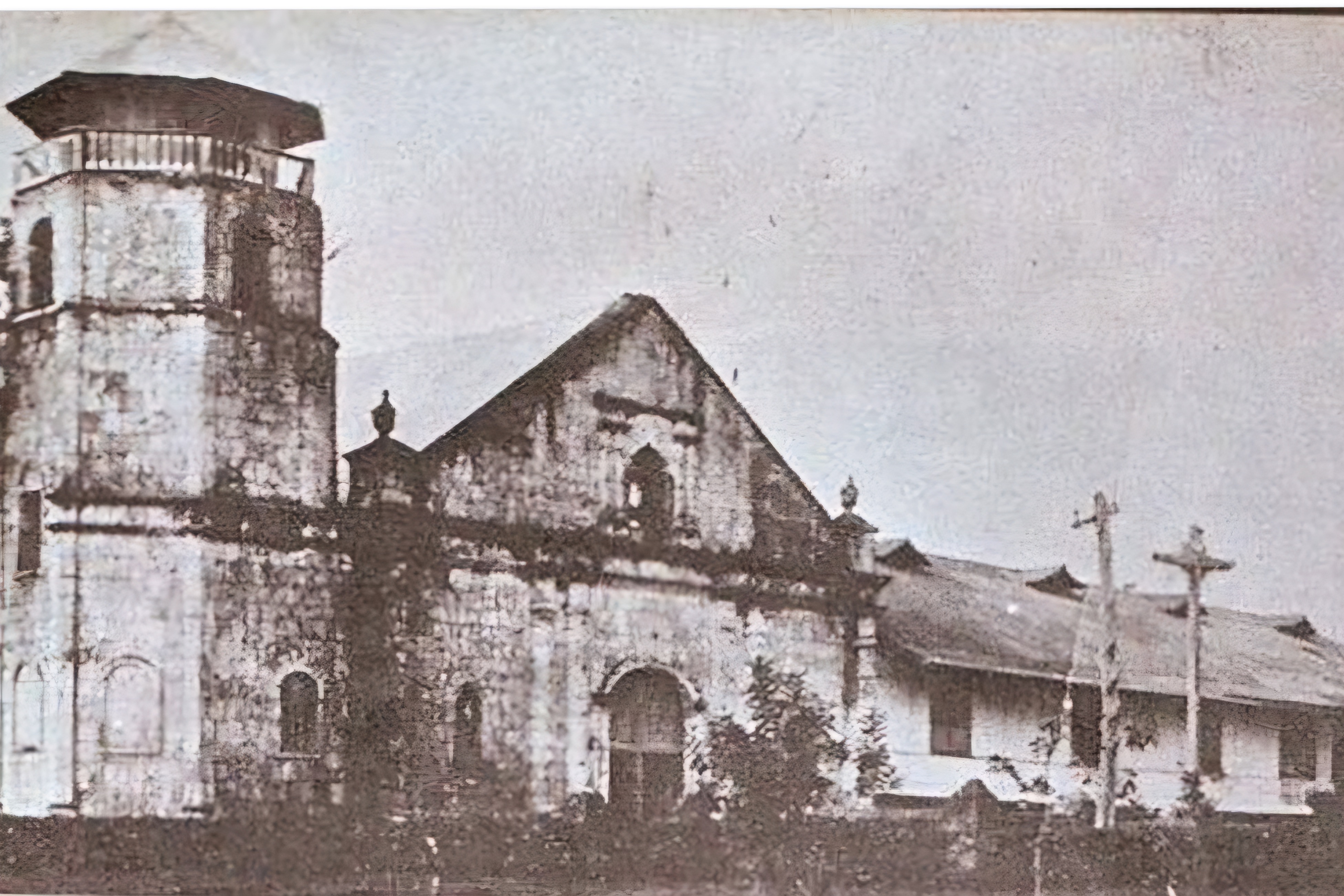
A 1925 photo of the church’s original Baroque-style facade

The present Neo-Gothic-style cathedral was built from 1946 to 1951 by Archbishop James T.G. Hayes, S.J.D.D., the first bishop of Cagayan de Oro.

AUTHOR’S NOTES:

Comparing an old 1925 and present photo of the church, the Baroque-style facade of the church seemed to have survived the 1945 bombing but it was greatly altered during the rebuilding.  The semicircular arched windows were replaced by Gothic-style lancet windows, a portico was added and the finials at the ends of the triangular pediment (its raking cornice now adorned with drip molding) were not restored.

Only the base (now square), of the formerly octagonal bell tower (beneath which is the grave of Father Ramon Zueco de San Joaquin who died in 1889 in Cagayan de Oro), on church’s left, remains. A new bell tower, on the church’s right was, instead, built.

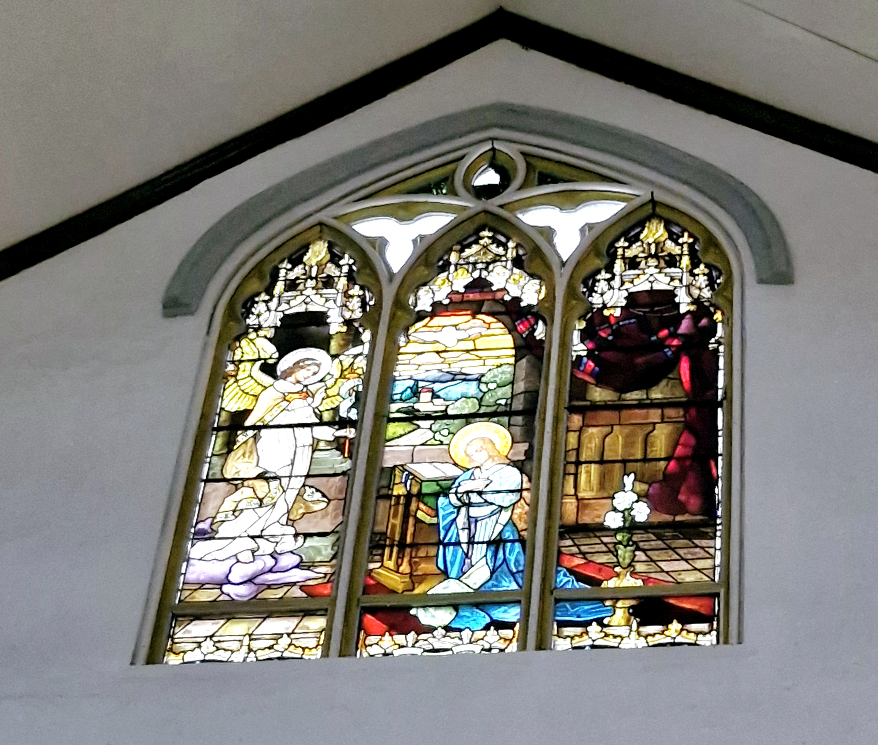
Stained glass window

Its nine century-old stained glass windows, the work of well-known masters, depict the life of Christ and came from the Chapel of the Sisters of the Sacred Heart (now the Church of the Sacred Hearts of Mary and Jesus), an old  Gothic-style chapel built in 1882 in New York.

Stained glass window

The bells, hung in the new bell tower in 1950, were fashioned from the church’s old bells shattered during World War II – San Agustin (1807), Santa Ana (1813) and El Salvador (1857).

The Relic Chapel

Just outside the porte-cochere is a wooden Sta. Cruz built by Augustinian Recollect friars in 1888, the only relic that remains of the church’s Hispanic past.

The Spanish-era wooden cross

St. Augustine Metropolitan Cathedral: Barangay I, Cagayan de Oro City, Misamis Oriental.  Tel: (088) 857-2139.  Feast of St. Augustine, Bishop of Hippo: August 28.

How to Get There: Cagayan de Oro City is located 94.4 kilometers (a 2-hour drive) from Malaybalay City (Bukidnon) and 88.7 kilometers (a 1.75-hour drive) from Iligan City (Lanao del Norte).

City Museum of Cagayan de Oro and Heritage Studies Center (Misamis Oriental)

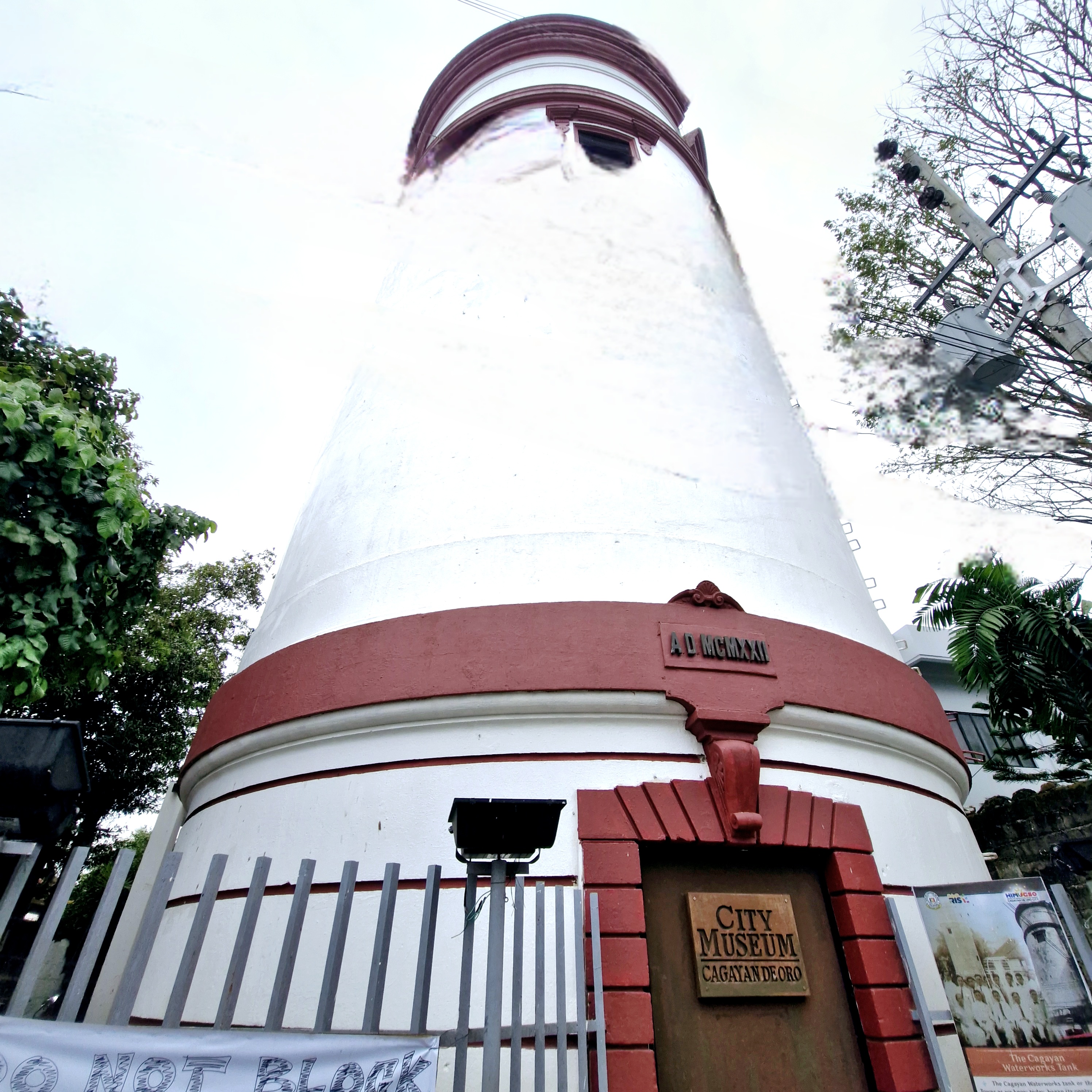
City Museum of Cagayan de Oro and Heritage Studies Center

We still had time to kill as we made our way to Laguindingan Airport for our return flight to Manila, so Wyller Manus, our Bukidnon tour guide, suggested we make a stopover at Cagayan de Oro City to visit the 3-storey City Museum of Cagayan de Oro and Heritage Studies Center.

Museum facade

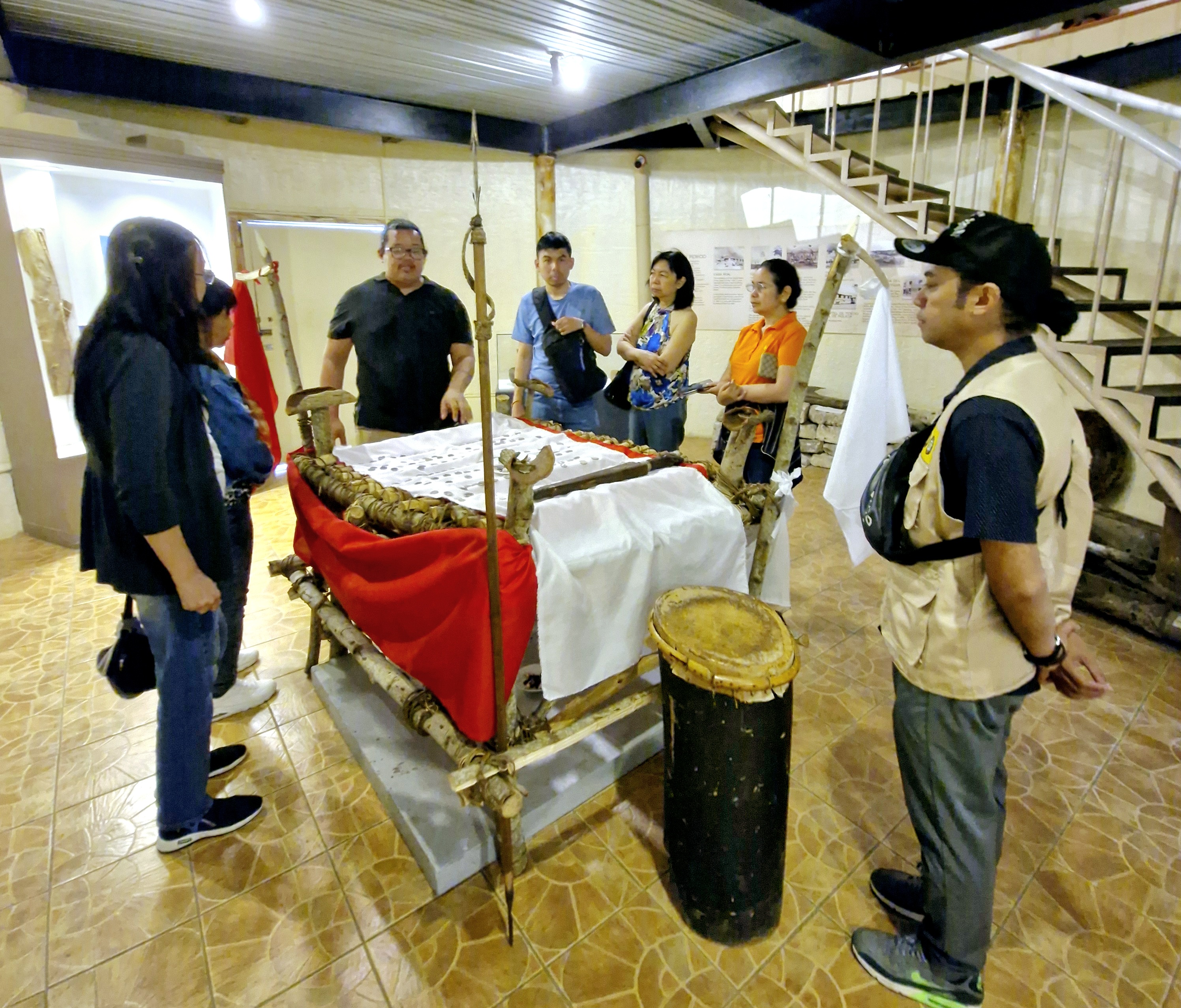
Here, we were welcomed and toured around the museum by Mr. Jesus Christopher “JC” F. Salon, acting curator of the museum.

Mr. Christopher F. Salon (third from left) discussing the Higaunon Bancaso (ritual table)

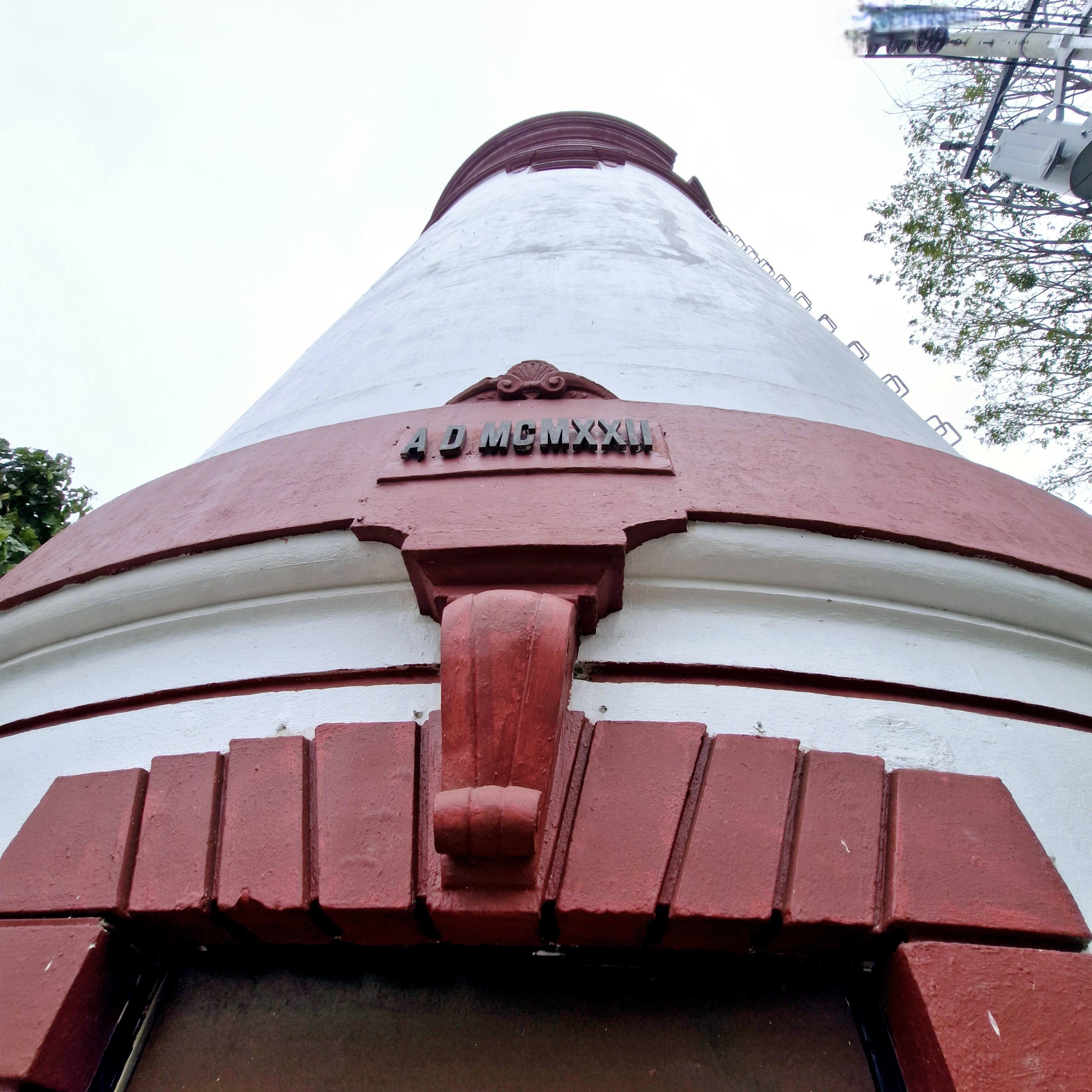
Located across the street from Gaston Park, this museum, a fine example of adaptive reuse, is housed in an old cylindrical water tower that sourced water, for 3,000 people, from Mahuganao Spring, Brgy. Cugman in Malasag Hills.

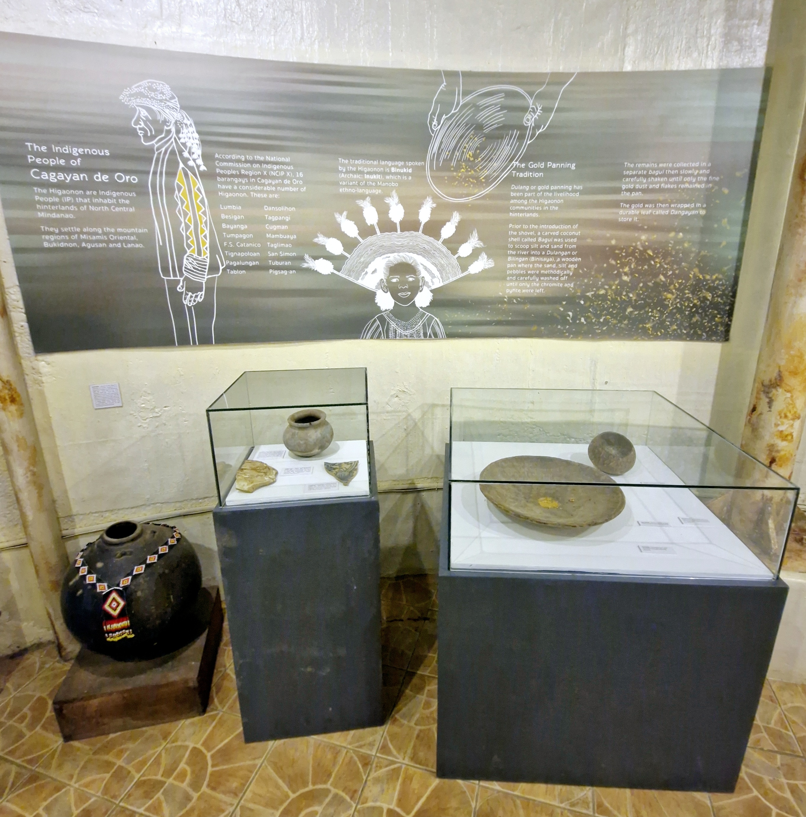
Exhibit on the indigenous people of Cagayan de Oro

Built from 1919 to 1922, it survived the September 1944 American bombing during World War II and is considered as the city’s oldest known surviving public structure.

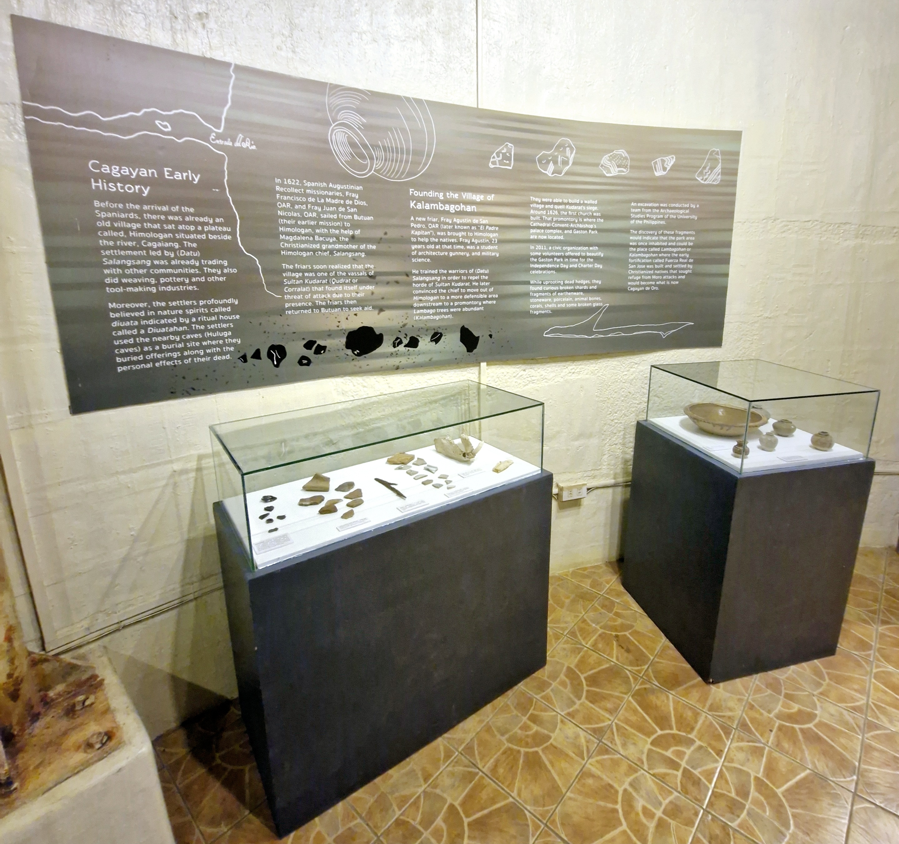
Exhibit on Cagayan de Oro’s early history

In the late 1970s, the National Waterworks and Sewerage Authority (NAWASA) took over the water system and stopped using the tower and it was abandoned.

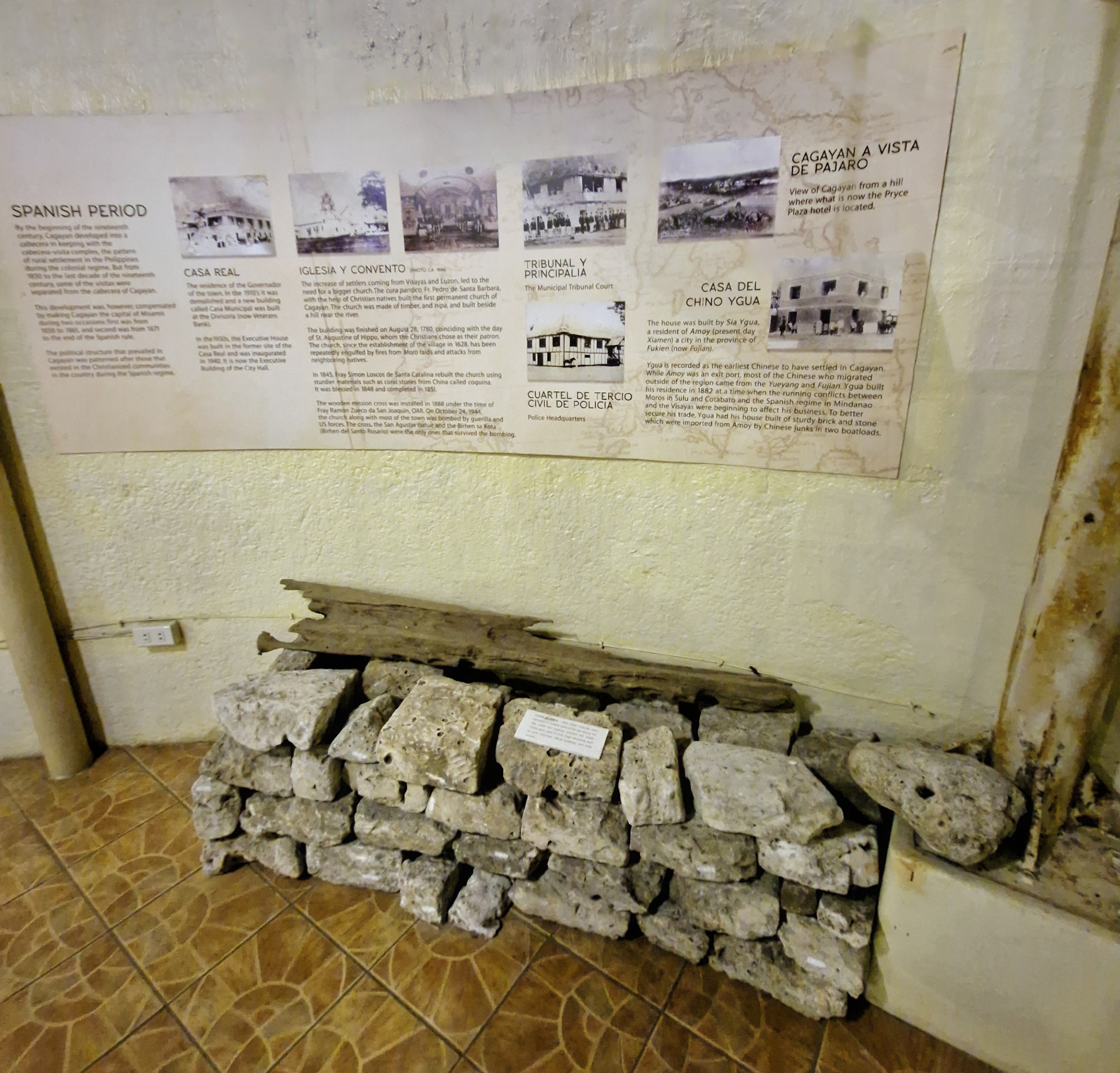
Exhibit on Spanish Period

Between 1994 to 2000, it was used as a temporary office of Barangay 1 and, in 2001, it was used as a makeshift darkroom by photographers from the Golden Friendship Photographers Association, Inc. (GoFPAI).

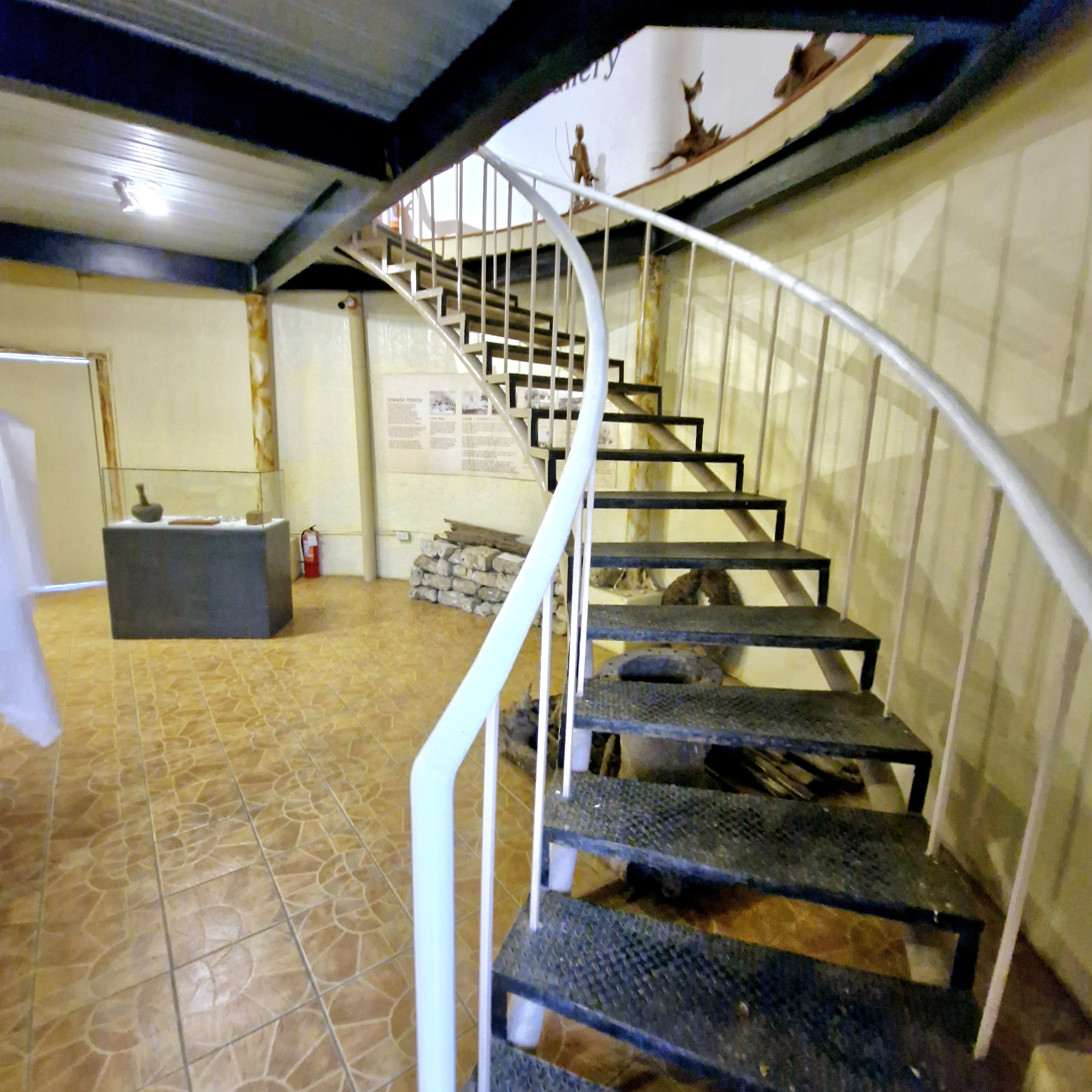
Spiral stairs leading to second floor

On December 1, 2008, then City Mayor Constantino Jarula had the tank renovated and turned into a city museum.

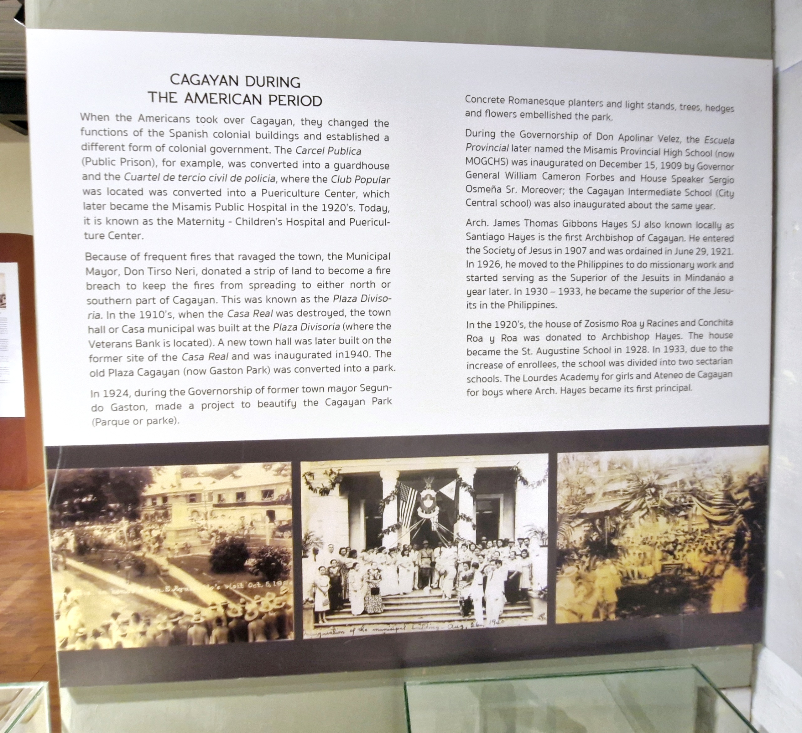
Exhibit on Cagayan de Oro during the American Period

The museum houses old photographs of the city’s significant events and personalities; fascinating exhibits that trace the city’s evolution, from its early indigenous roots to its contemporary developments; as well as a diverse collection of some archaeological finds.

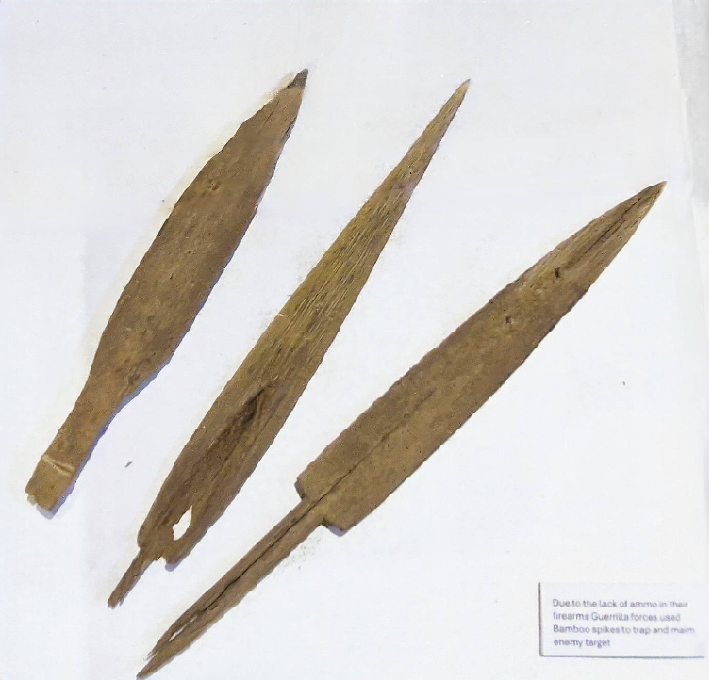
Bamboo spikes used by guerillas to trap and maim enemy targets

Its well-curated displays provide insights into the indigenous cultures, colonial influences, and the vibrant community life that defines Cagayan de Oro. The floors are accessed via spiral staircases.

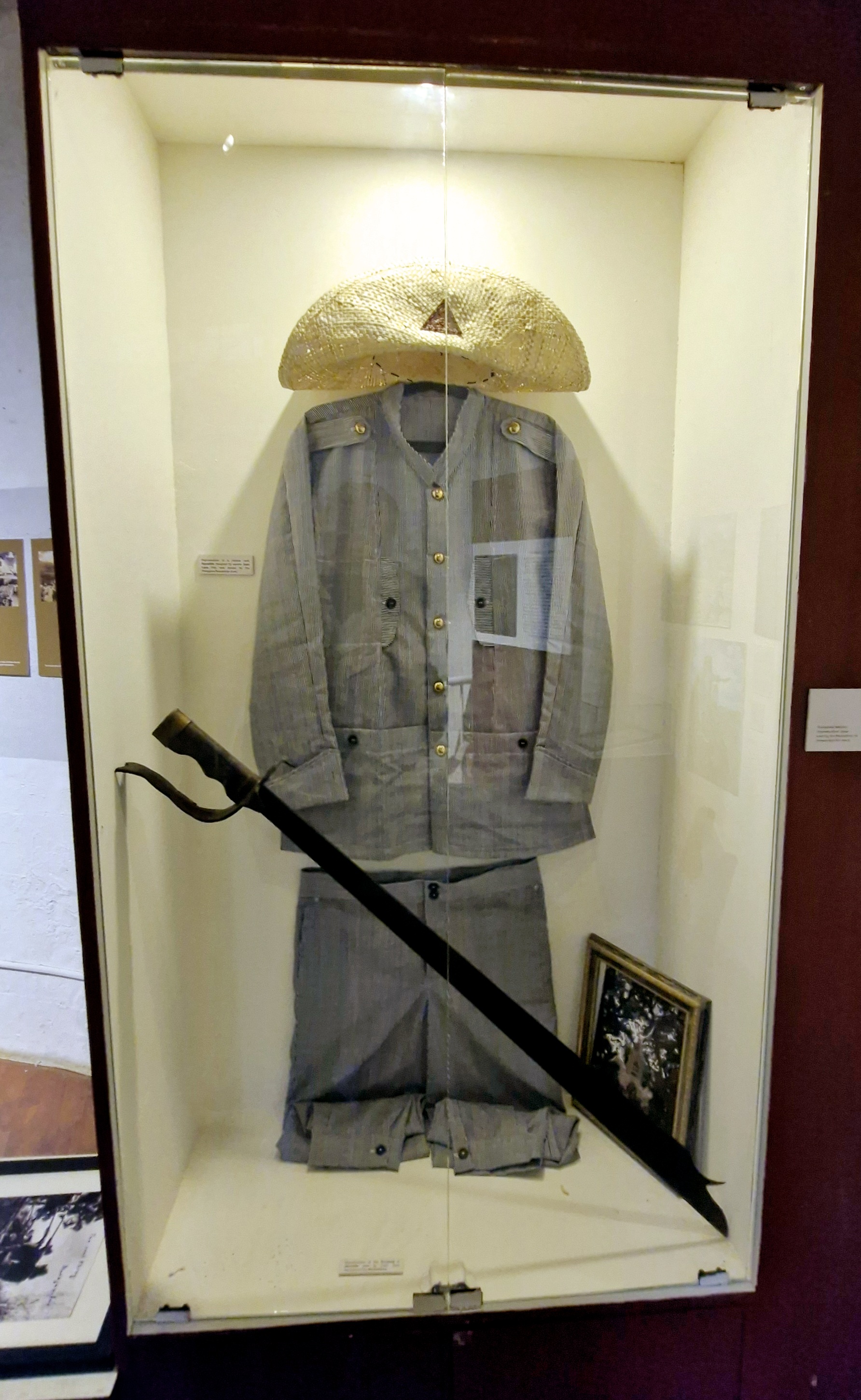
Rayadillo uniform and sword

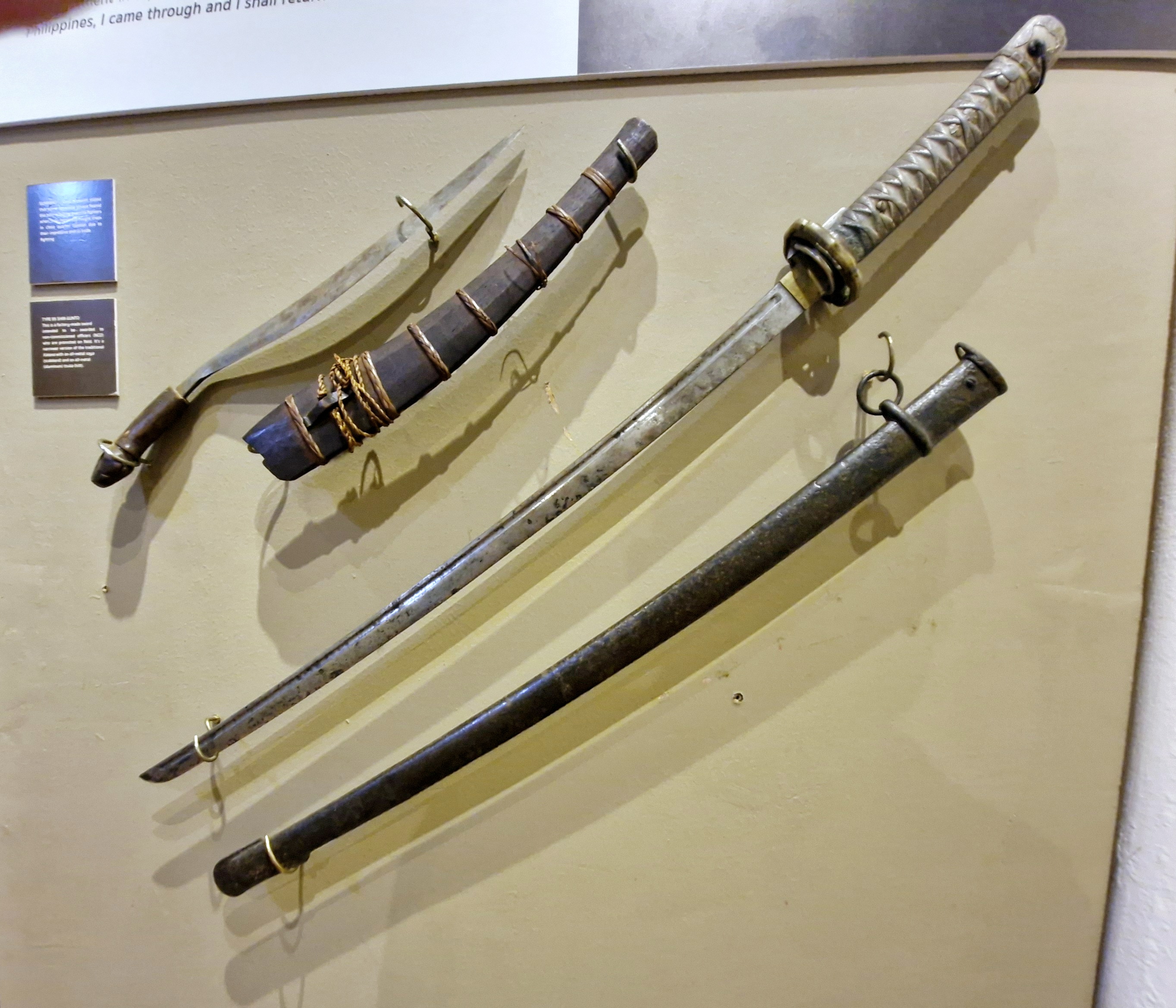
A Philippine bolo and a Japanese sword

At the Ramon and Rosario Chavez Gallery, at the first floor, JC first showed us the Higaunon Bancas0 (ritual table), a very important cultural artifact of the indigenous Higaunon community.

Third floor gallery

The Filomeno M. Bautista Gallery, at the second floor, showcases the history of the city during the Philippine-American War (notably the battle around 1900) and World War II.

Third floor gallery

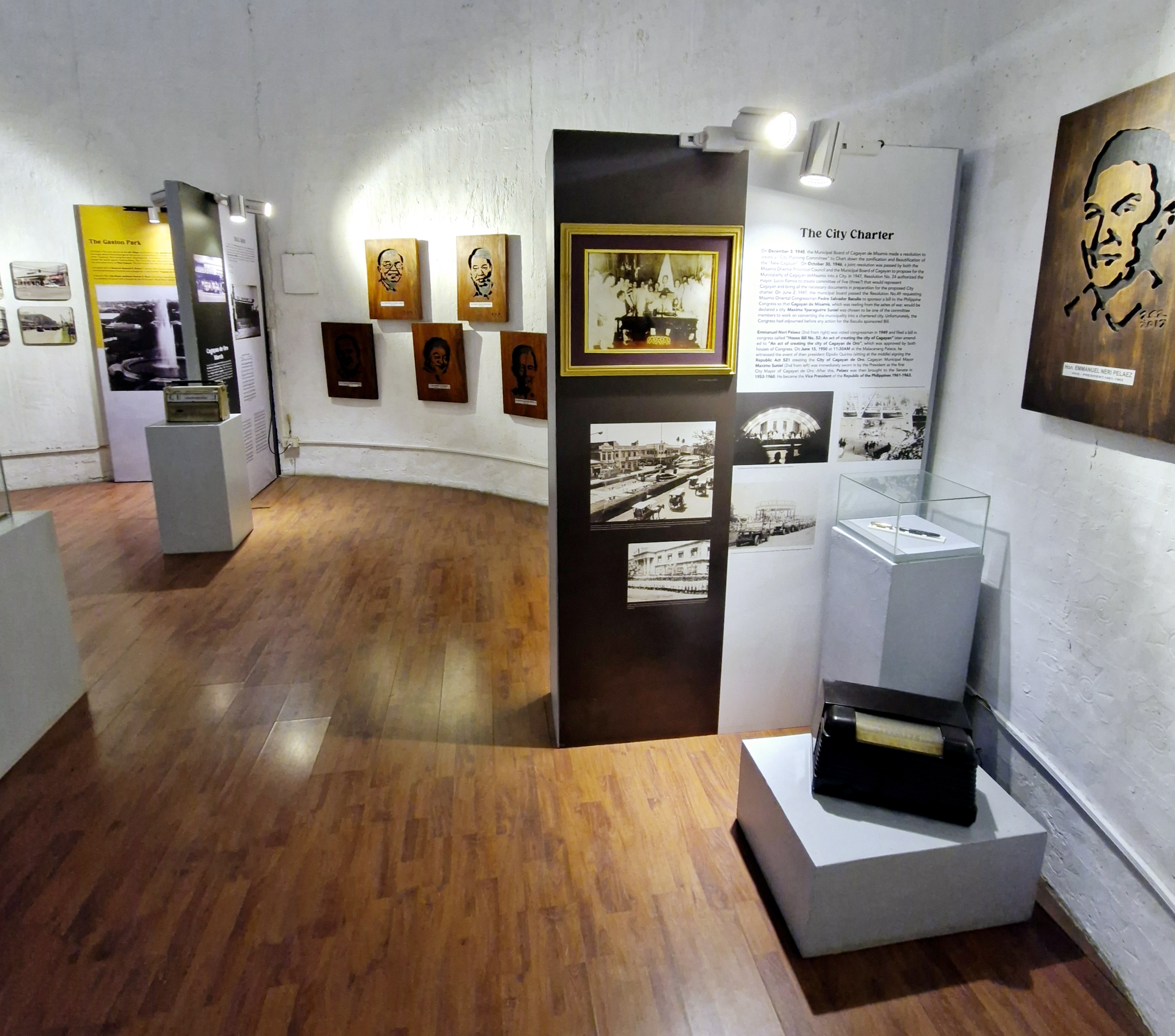
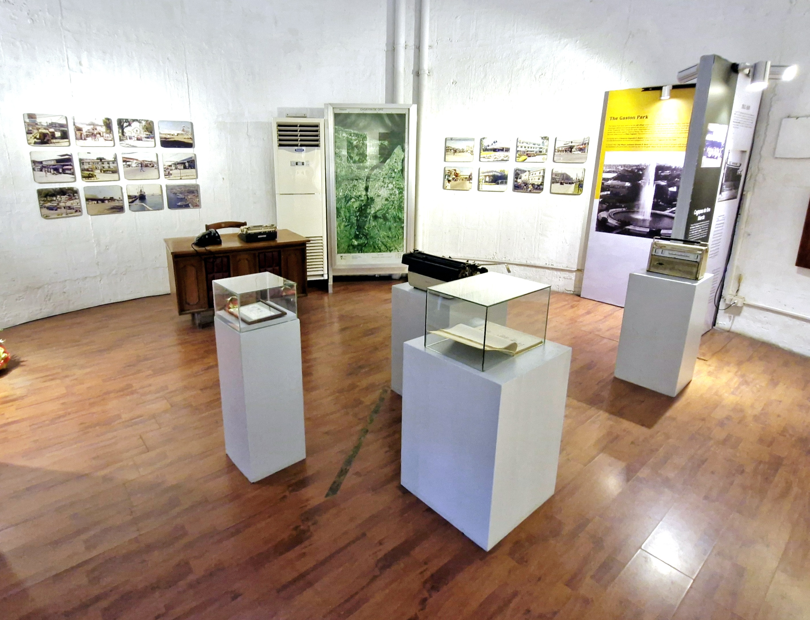
The third floor houses the museum’s newest exhibit (opened last November 21) which showcases the history and modernization of the city after World War II.

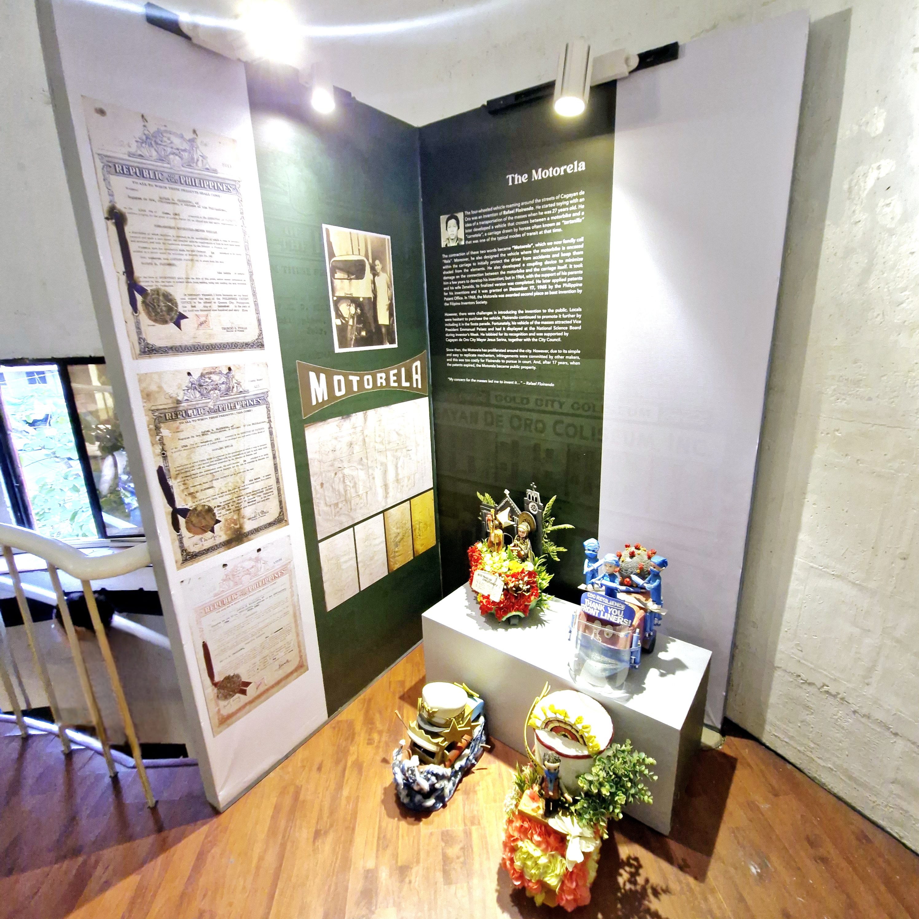
The motorela

A notable artifact here is the Parker 51 fountain pen used to sign Republic Act No. 521, the law that created the city.

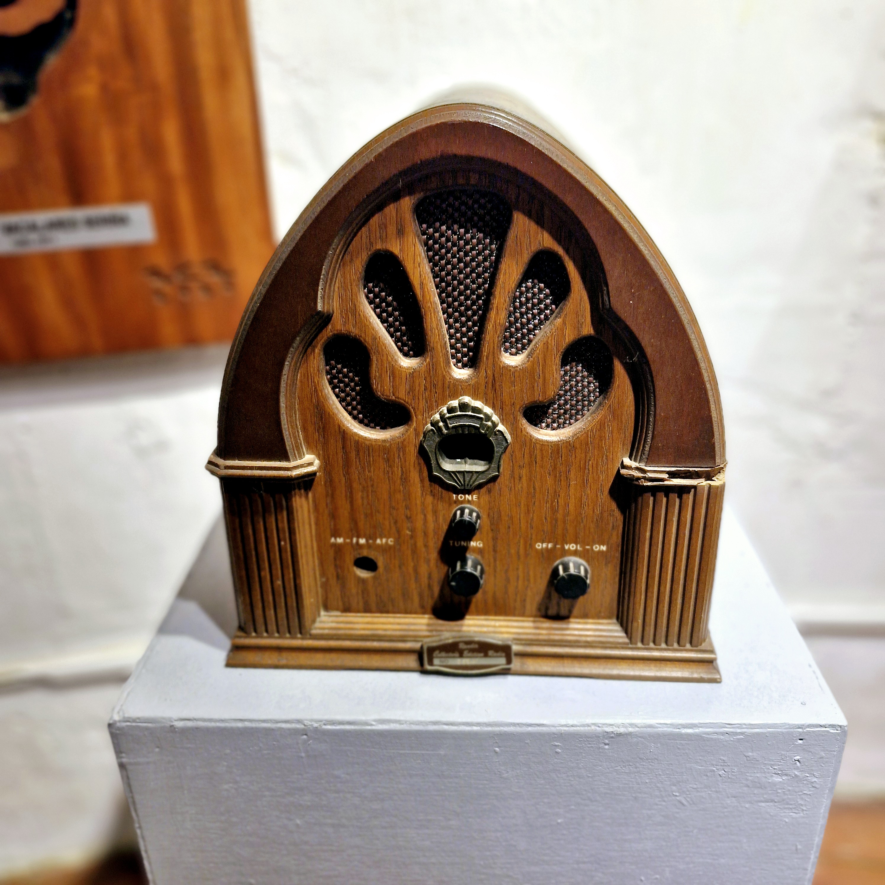
An antique radio

City Museum of Cagayan de Oro and Heritage Studies Center: Gaston Park, Fernandez St., Brgy.1, 9000 Cagayan de Oro City, Misamis Oriental.  Mobile number: (0915) 881-0719.  E-mail: hccc.cdo@gmail.com. Open Tuesdays to Sundays, 8 AM to 5 PM.

Old Guiob Church (Catarman, Camiguin)

Old Guiob Church Ruins

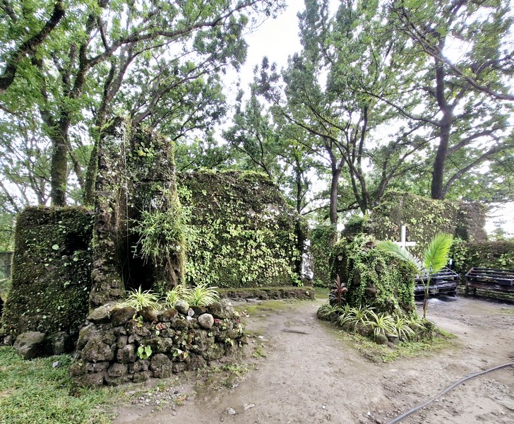
After our merienda at The Beehive, we again boarded our multicab for the short 3.3-km. (10-min.) drive to the Church of St. Roche Ruins, our last destination.  Also called the Old Gui-ob Church (Cotta Batto), it is Camiguin’s version of Albay’s Cagsawa Ruins.

Check out “The Beehive” and “Cagsawa Church Ruins“

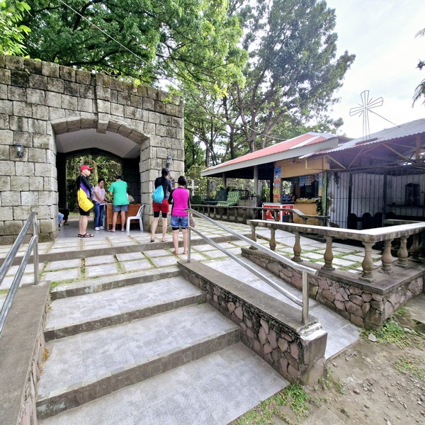
Entrance to the ruins

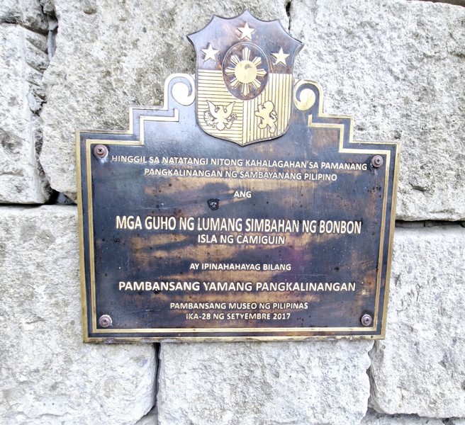
The National Cultural Treasure plaque

This coral and stone-hewn church, built in 1623 as the parish of San Roque (St. Roche), was half buried by lava flows during the May 1, 1871 eruption of Mt. Hibok-Hibok that created the 838-meter high Vulcan Daan (locally called Tandang Bulkan), a volcanic fissure that spewed out lava and destroyed the town.

Check out “Old Guiob Church Ruins (2001)”

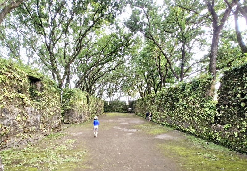
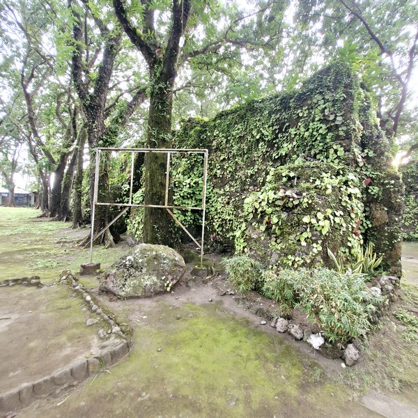
All that remains are haunting ruins of the 400-year old church, the rectory and, at the back of the church, the base of the bell tower, beside which is a centuries-old camel tree (locally called doldol). Near the tower is a modern, solar-powered lighthouse.

During my first visit in 2001, a small chapel has been built within the ruins but it has now been removed.

On September 28, 2017, 16 years after our first visit, the church ruins, the nearby Sunken Cemetery and the Moro watchtower were declared as National Cultural Treasures by the National Museum of the Philippines.

Check out “Sunken Cemetery“

The author (left) with his son Jandy

The moss-covered, roofless ruins, shaded by large trees,  is now a popular tourist attraction in the province and is a peaceful place to roam around.

Church of St. Roche Ruins: National Highway, Brgy.Bonbon, Catarman, Camiguin. Admission: Php50/pax.

How to Get There: The ruins are located 16 kilometers from Catarman and 20 kilometers from Mambajao proper.

Church of St. Joseph the Worker (Ivana, Batanes)

Church of St. Joseph the Worker

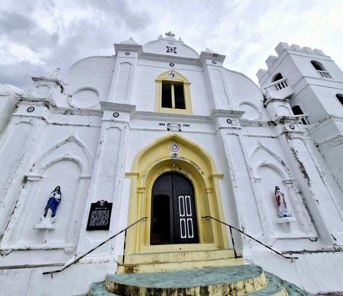
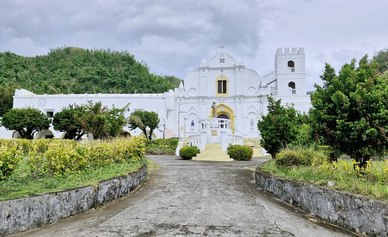
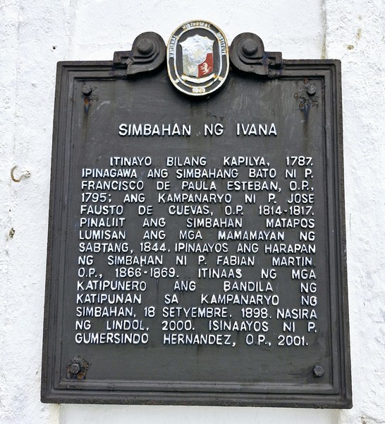
This church, first built as a chapel in 1787, was rebuilt, with stone and lime, by Father Francisco de Paula Esteban, OP, in 1795 and the bell tower was built by Father Jose Fausto de Cuevas, OP, from 1814 to 1817.   In 1844, it was renovated and, in 1854, its nave was shortened with the rear portion closed (today, ruins of the abandoned portion can still be seen).  From 1866 to 1869, the façade was repaired by Father Fabian Martin, OP.

The church complex

On September 18, 1898, Filipino revolutionaries hoisted their flag after renouncing their loyalty to Spain. On July 16, 2000, a magnitude 7 earthquake partially destroyed the church and, in 2001, Father Gumersindo Hernandez, OP, had it repaired.

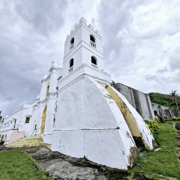
The unusual buttresses of the separate bell tower

In 2008, the church was declared as a National Historical Landmark by the National Historical Commission of the Philippines. This church, with three-meter thick walls, is the only one in the province not built in the espadaña style. 

Historical plaque installed by the National Historical Institute (NHI) in 2008

AUTHOR’S COMMENTS:

The church’s façade, with Baroque and Moorish architectural influences, has a semicircular arched main entrance with jambs formed in a series of receding molded planes, with alternating semicircular and Moorish arches.  Flanking the entrance are blind semicircular and Moorish arches, framing statues on corbels, and massive flat pilasters (which rise up to the pediment) topped by pyramidal finials.  The undulating pediment has a rectangular window topped by a Moorish arch and flanked by blind rose windows.

Its separate fortress-like, three-storey square bell tower, on the church’s right, is the only one of its kind in the province.  It is supported by unusual buttresses, at the base, and has segmental  arched openings, with balusters, and a crenellated top. 

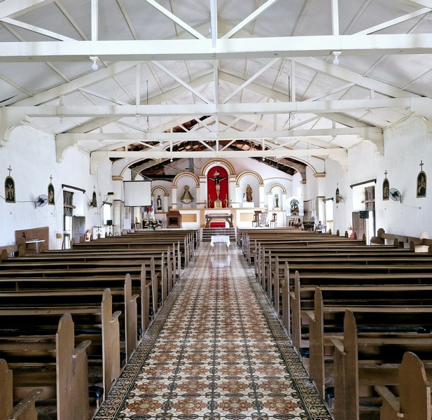
The church interior

Due to its elevation, the church offers a panoramic view of the sea and the surrounding countryside.  The convent, part of the church complex, has unusual circular masonry work near the stairway.

The main altar
The choir loft

Church of St. Joseph the Worker: National Road, Barangay Tuhel (Poblacion), Ivana, 3902 Batanes. Mobile number: (0977) 120-3307. Feast of St. Joseph the Worker: May 1.

How to Get There: Ivana is located 13.85 kilometers (a 15-minute drive) south Basco. The church is located in front of the town’s port.

Casa Real (Basco, Batanes)

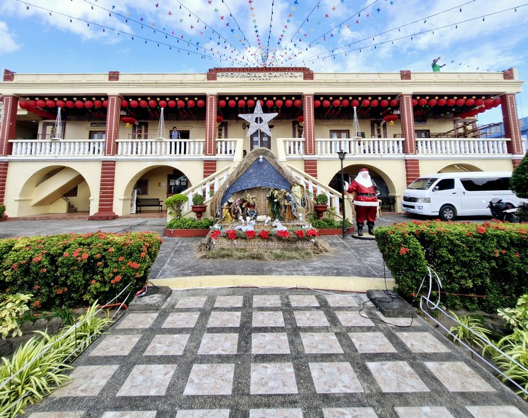
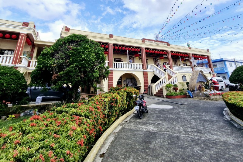
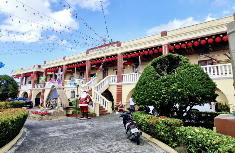
Casa Real (now the Provincial Capitol Building)

After our tour of the Valugan Boulder Beach, we again boarded our van for the short 3-km. (10-min.) drive to the 2-storey Provincial Capitol Building.  Formerly the Casa Real, it was originally built from wood, during the term (1783-1785) of Don José Huelva y Megarejo, the province’s first governor.

Check out “Valugan Boulder Beach”

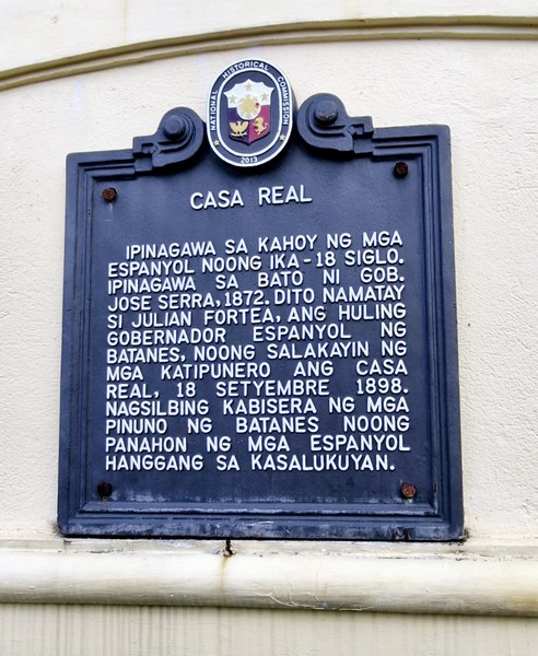
The building was renovated during the term (1794-1798) of governor Felimon Zenoreta who introduced masonry in Batanes. On December 15, 1856, the Casa Real burned down and it was reconstructed, in stone, in 1872 during the term (1872-1885) of Governor Jose Serra.

Historical plaque installed by the National Historical Commission of the Philippines (NHCP) in 2013

On September 18, 1898, Governor Julian Fortea, the last Spanish governor of Batanes, was killed here when revolutionaries stormed the building.  After World War II, under the Philippine Rehabilitation Act of 1946, the capital was restored including the façade.  The stairs was rebuilt to provide a grand entrance.

The Capitol was expanded, during the administration (1989-1998) of Governor Telesforo F. Castillejos, with the construction of the three annex buildings from August 1989 to January 1993 and, on March 18, 1993, the capitol was inaugurated by President Fidel V. Ramos.

During the term (1998-2007) of Governor Vicente Gato, the buildings in the capital building complex were expanded and renovated to address the need for provincial government’s offices. It was inaugurated on March 24, 2007.

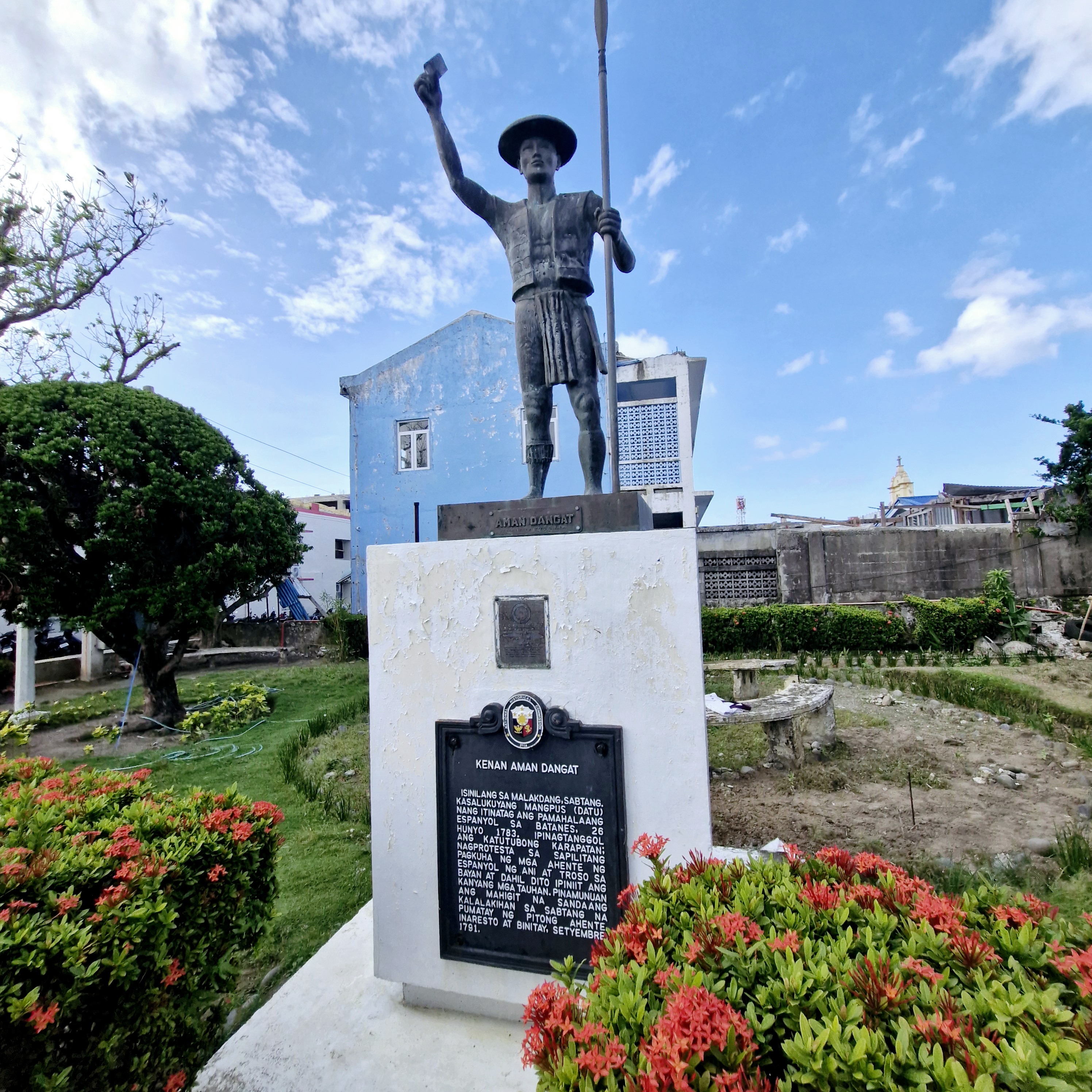
Statue of Aman Dangat

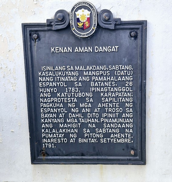
To the left of the building is the Statue of Aman Dagat. Also known as Kenan, this mangpus (tribal leader) of Malakdang led about 150 Isabtangs who rose in revolt one moonless night in September 1791 and crossed the treacherous sea to attack the Spanish mission house on Batan Island, killing seven non-Ivatan agents of the Spanish government who poached fruits and timber from Sabtang without payment.

Historical plaque installed by the National Historical Commission of the Philippines (NHCP) in 2014

Aman Dagat was later hanged and the natives of Sabtang were exiled to the districts of San Felix and San Vicente in Ivana for the next 50 years (1791-1841).

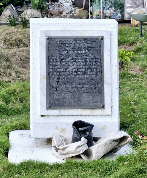
Memorial to Veterans of the Philippine Revolution and World War II

Behind this statue is the Memorial to the Veterans of the Philippine Revolution and World War II which was unveiled on June 25, 1993, the 210th founding anniversary of Batanes,

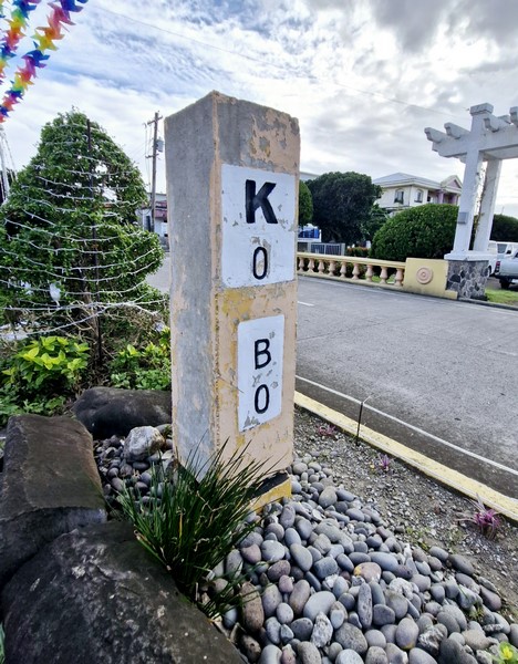
Kilometer Zero Marker

In front of the Casa Real is the Kilometer Zero Marker and the Bantayog-Wika. The former is the reference point where all distances on Batan Island are measured from.  It is one of three such in the province, the other being in Sabtang Island  (along the National Road, near the port and the Church of St. Vincent Ferrer) and the other in Itbayat  (within the Municipal Grandstand and park).

Check out “Church of St. Vincent Ferrer”

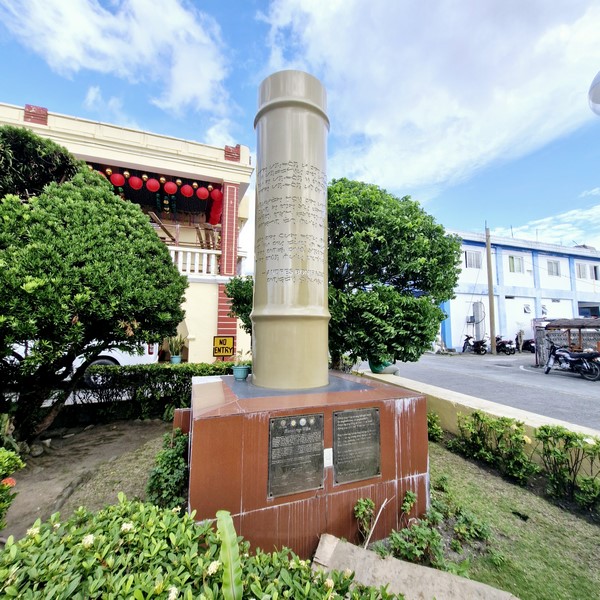
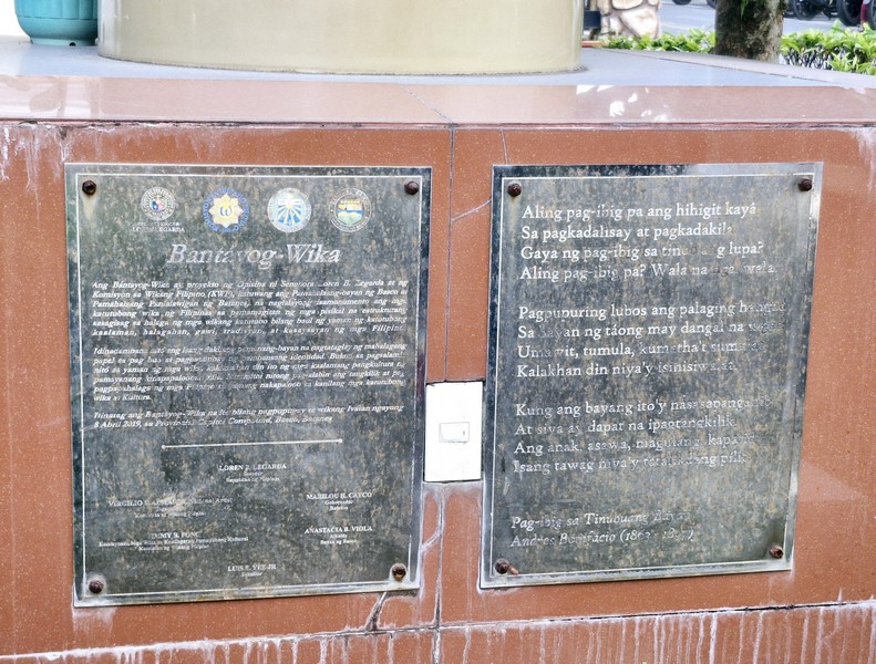
Bantayog-Wika

The Bantayog-Wika (Language Marker), a project of Sen. Loren Legarda, the local government and the Komisyon ng Wikang Filipino (KWF) recognizing the Ivatan language, was unveiled on April 8, 2019 (Basco Day).  This marker, the 14th installed in the country, seeks to identify areas where the country’s 130 languages originated.  Created by installation artist Luis “Junyee” Yee, Jr. in stainless steel, is inscribed (using laser technology), in baybayin letters, with several lines of Andres Bonifacio’s poem Pag-Ibig sa Tinubuang Bayan which was published in the first issue of Kalayaan, the Katipunan newsletter, in 1896.

Provincial Capitol Building: National Rd., 3900 Basco.  Mobile number: (0917) 326-3744.  E-mail: batanesinformation@gmail.com.

How to Get There: from Basco Airport, take the Diversion Road and turn left into National Road. The Provincial Capitol of Batanes is on the right side.
The Idjangs of Batanes

Thousands of years before Spanish colonization, about a thousand pre-Hispanic Ivatans utilized the strategic high ground, living in villages on fortified cliffs and hilltops scattered across today’s Uyugan. These fortified settlements near rocky natural fortresses were called idjangs, derived from the Ivatan word idi or idian, which means “home” or “hometown.” Much of what is known now about idjangs, only initiated in the 1990s, comes from the oral tradition of Ivatans.  These were compiled by native Ivatan Dr. Florentino Hornedo of UST, leading historian on anything relating to Batanes.

These castle-like structures, on elevated rock formations, resemble the gusuku castles of Okinawa (Japan) and some stone-terraced formations in Taiwan.   Pre-Hispanic Ivatans lived in communities of small clans.  During tribal wars for possessions or territory, the clans would climb the idjangs when attacked and throw stones down upon their attackers.

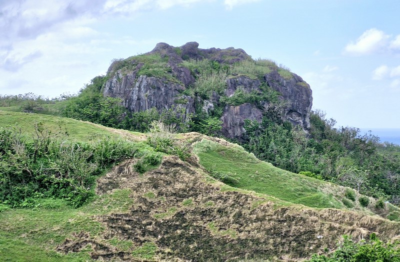
The idjang of Basco

There are 17 of these remnants of stone fortresses on large stone outcrops.  They are located at Brgy. Savidug (Sabtang), Itbayat, Ivana, Mahatao, Brgy. Itbud and Chapidan in Uyugan, Basco and Ivuhos Island (Chuhangin) and Adekey Island off Sabtang.  Artifacts found here include stone tools and implements, earthenware beads, pottery, glass, Chinese ceramics, and human and animal bones. boat-shaped burial markers.

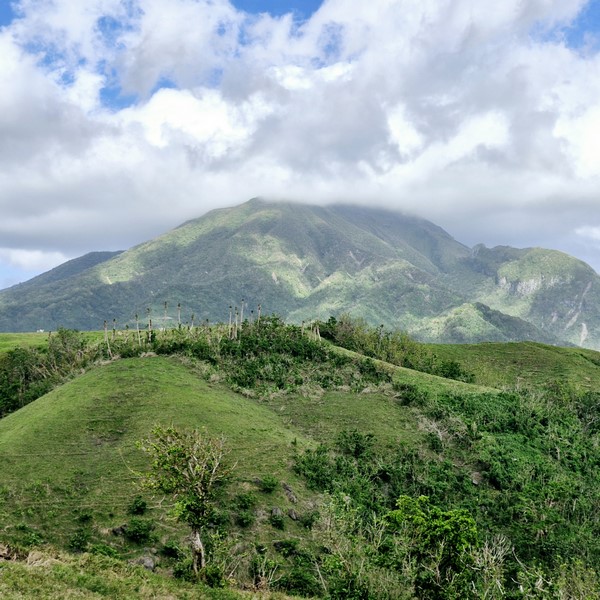
Geologists surmise that the idjang in Basco is molten magma from Mt.  Iraya that cooled off to form a plug for an extinct volcanic crater.  The idjang in Brgy. Itbud (Uyugan) is located at a promontory at the southern end of a beach.

Mt. Iraya

Ancient limestone columns, with holes drilled at one end, are found littered on the idjang slopes.  They may have served as king posts for dwellings or may have once held down cogon dwellings against strong, battering winds.  Some have been recycled as posts for stone houses on Batan Island.  A wall at the idjang’s base (where a creek forks), was made with stones piled on top of each other.  Instead of mortar, they are just held together by pressure from the adjacent stones.
The Chuhangin idjang, in Ivuhos Island (Sabtang), is located on a ledge overlooking the sea and the island’s famed burial grounds.  This idjang is the only one whose sides were built by the ancient Ivatans with stones placed on top of the other without the use of mortar. The Nahini Votox idjang of Itbayat Island has a spectacular view of Dinem and the island’s eastern coast.

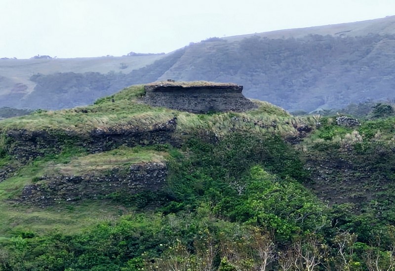
The idjang of Brgy. Savidug in Sabtang

The picturesque Savidug idjang, considered to be the most beautiful and perfectly shaped among the idjangs, appears to have been terraced by human hands to assume a castle-like formation. It is distinctly different from all the others in the province because its sides were carved to make entry more difficult.

Here, archaeologists have recovered, from different levels of the site, various earthenware shards, remains of wild boar and deer teeth, glass beads, shell, coral and bone fragments and some 12th century Sung type greenware.

Savidug Idjang: Brgy. Savidug, 3904 Sabtang.