|
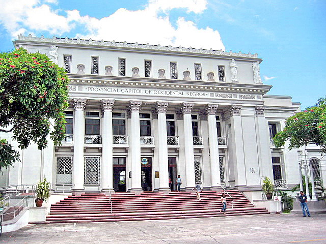
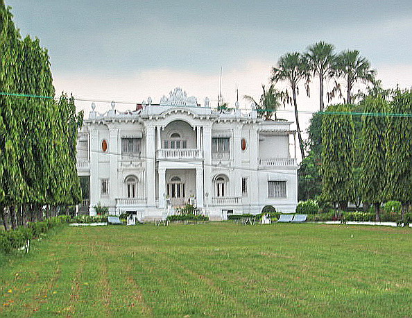
| Negros Museum |
Upon completion of our GPS mapping and prior to leaving Bacolod City, I made a short visit to the nearby Negros Museum and interviewed Ms. Chinette A. Gaston, the museum administrator, about the museum’s history and exhibits as well as reminisce about my grandfather Jose C. Locsin. This former Agricultural Building, similar in style with the Capitol, was built from 1938 to 1941 (the advent of World War II) on the former site of the 1930s Negros Occidental Carnival and Exposition. During the war, it was used as an office of the Japanese. In 1986, it was renovated with a grant from the Canadian Government and, on May 2003, became the new Negros Museum (it was formerly housed in the Capitol).
 |
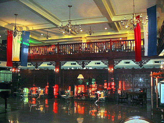
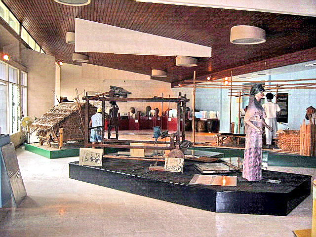
| Negros Museum lobby |
After my interview with Ms. Gaston, she gave me free rein to view the museum’s exhibits. This museum, run by the Negros Cultural Foundation, a non-profit, non-stock and non-government organization, is committed to preserving the cultural and historical heritage of the province. It is unique in that, aside from collecting antiquities, it also collects stories about the people of Negros. On display, all with interesting stories to tell, are a 40-ft. long batil (long boat), a life-size replica of an Iron Dinosaur (steam locomotive) donated by the Victorias Milling Co., a real sugar laboratory using traditional equipment (donated by the La Carlota Sugar Central), a gallery of portraits of past provincial governors (including my grandfather who was governor from October 16, 1925 to October 15, 1928), 9 huge paintings by Bacolod artists, depicting life in the pre-Hispanic period, and those by Charlie Co, which explores the economic and social ascent of Chinese in Negros (from hotelier Antonio Chan to National Artist and Arch. Leandro V. Locsin). Of particular interest for toy lovers is the JGM Gallery of International Folk Art and Toys, opened in 1998. On display here toys and folk arts collected, over a period of 30 years, by Mara Montelibano (daughter of Jose Garcia Montelibano after whom the gallery was named) from the Philippines and 65 other countries around the world.
Negros Museum: Gatuslao cor. Lacson St., Bacolod City, Negros Occidental. Open Tuesdays to Saturdays, 10 AM to 6 PM. Guided tours at 10 to 11 AM and 3:30 to 5:30 PM. Tel: (034) 434-5552. Fax: (034) 433-4764.