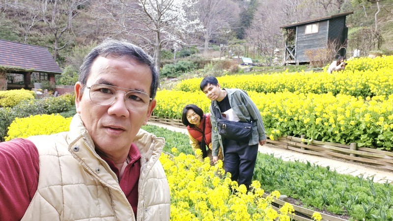
After touring the Ikuta Jinja Shrine and lunch at Yakiniku Like, we proceed to our final Kobe destination which was Nunobiki Herb Garden (Nunobiki Hābu-en), a big 40-acre botanical herb garden (Japan’s largest) located on the 931 m. high Mount Rokkō.
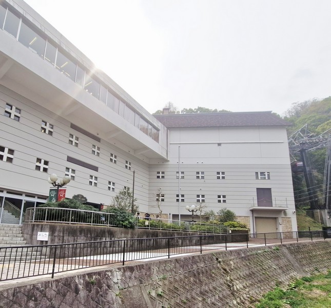
Built in 1991, it grows over 75,000 herbs (200 varieties) and flowers blooming year-round. To get there we were driven just 1.2 kms. (a 5-min. drive) to the Sanroku (Bottom) Station.
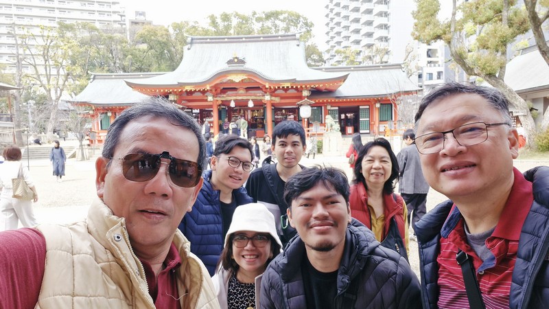
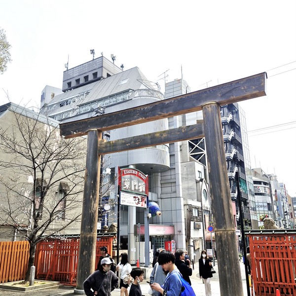
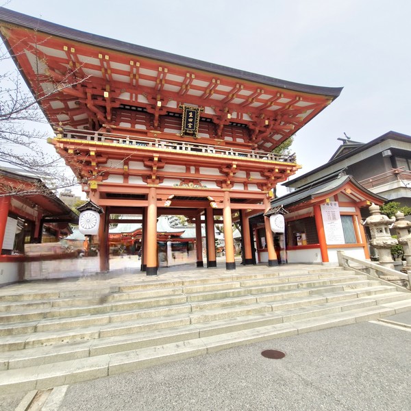
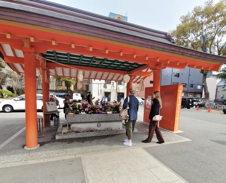
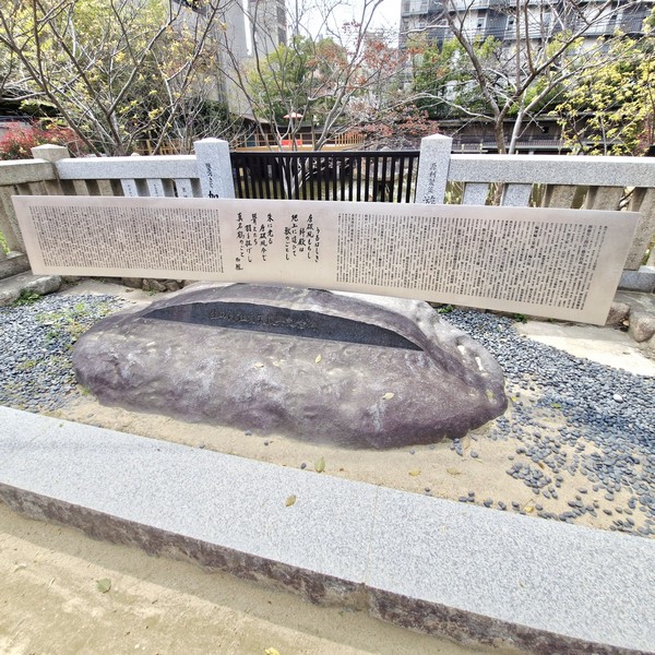
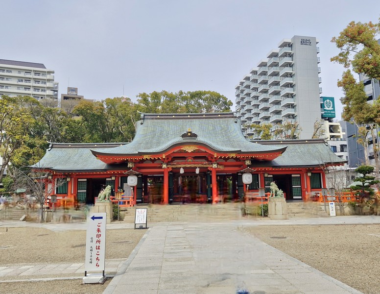
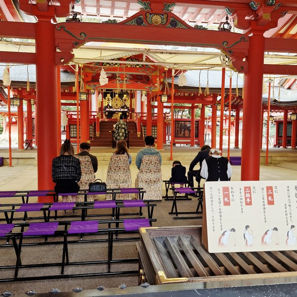
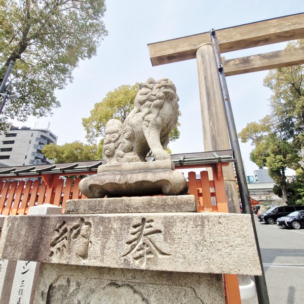
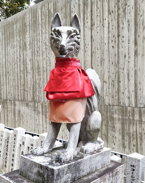
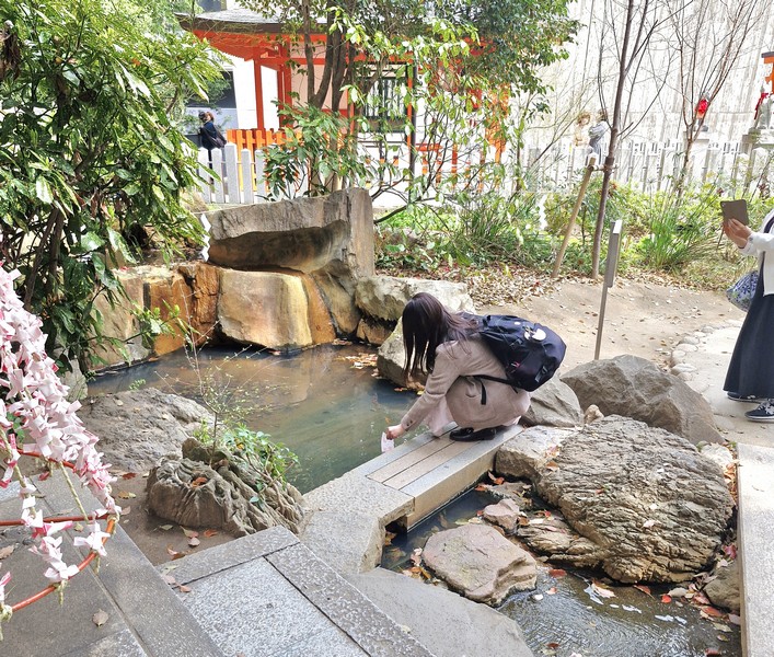
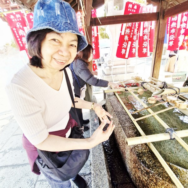
Check out “Ikuta Jinja Shrine”
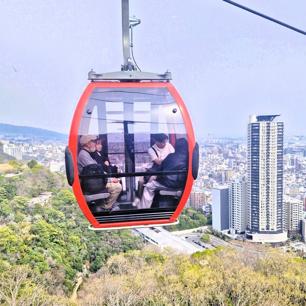
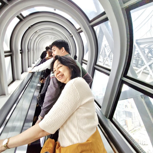
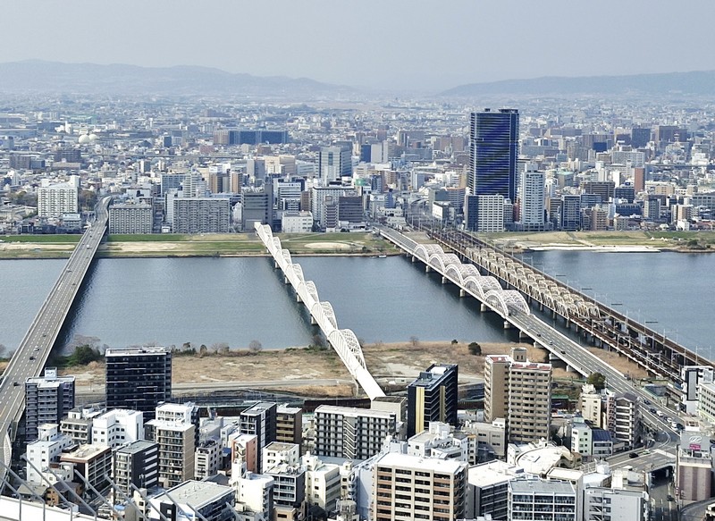
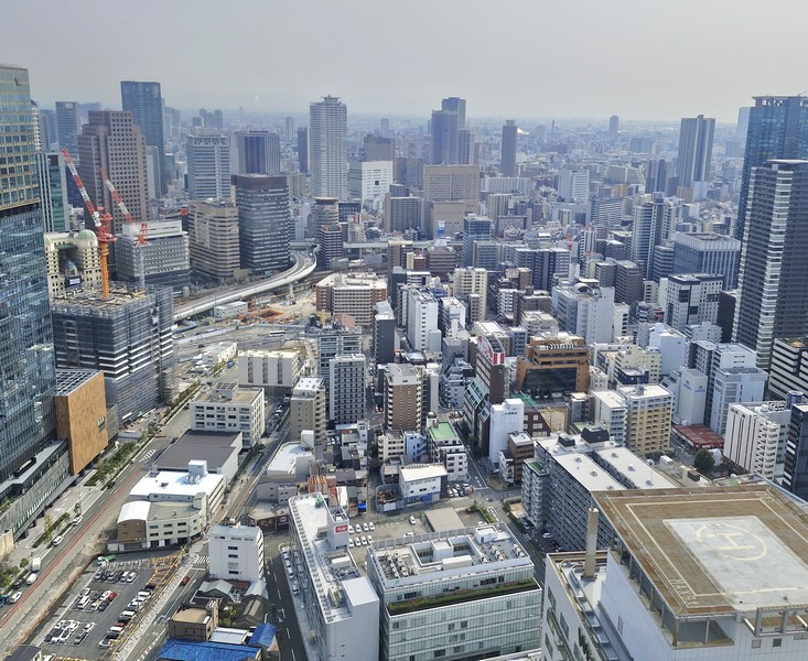
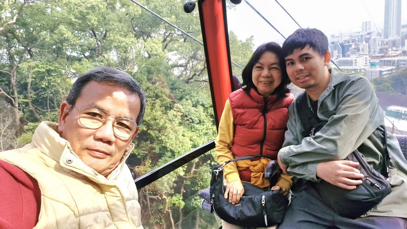
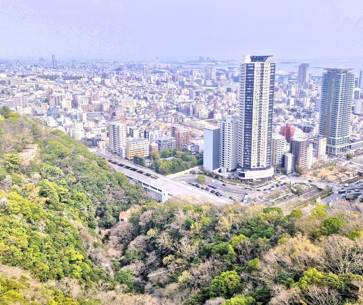
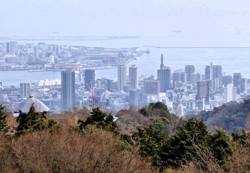
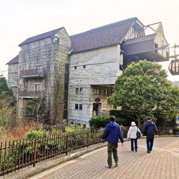
Here, we boarded a cable car for the 10-min. ride to Nunobiki Herb Garden, with sweeping panoramic views of the Kobe city skyline, the 43 m. tall Nunobiki Falls, the surrounding Rokko Mountain Range, Seto Inland Sea and previews of the gardens below.
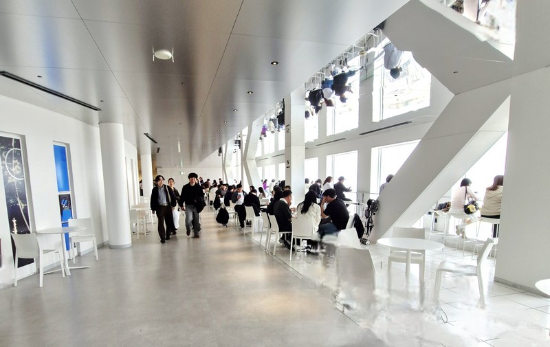
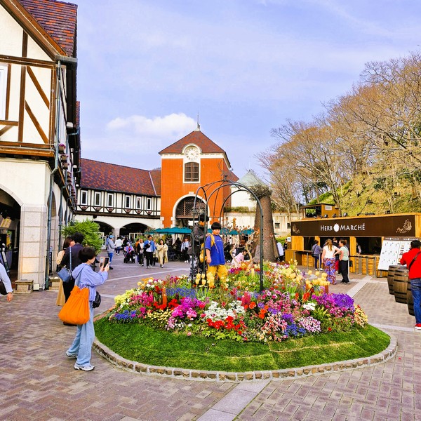
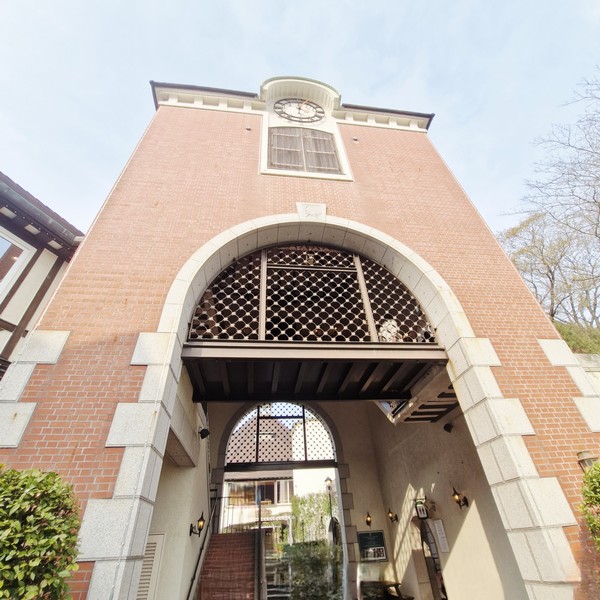
Upon arrival at the Sancho (Top) Station, the upper terminal point for the cable car, we then proceeded to the View Rest House, located at an altitude of 400 m., where we were welcomed with many charming garden vignettes with sculptures, sitting areas, carts and flower beds.
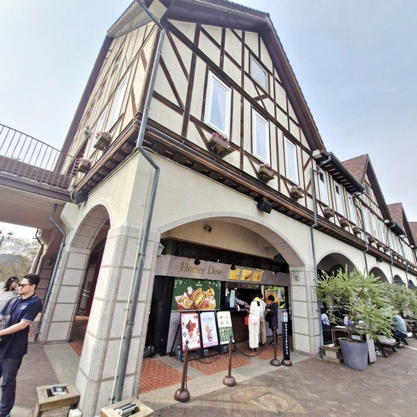
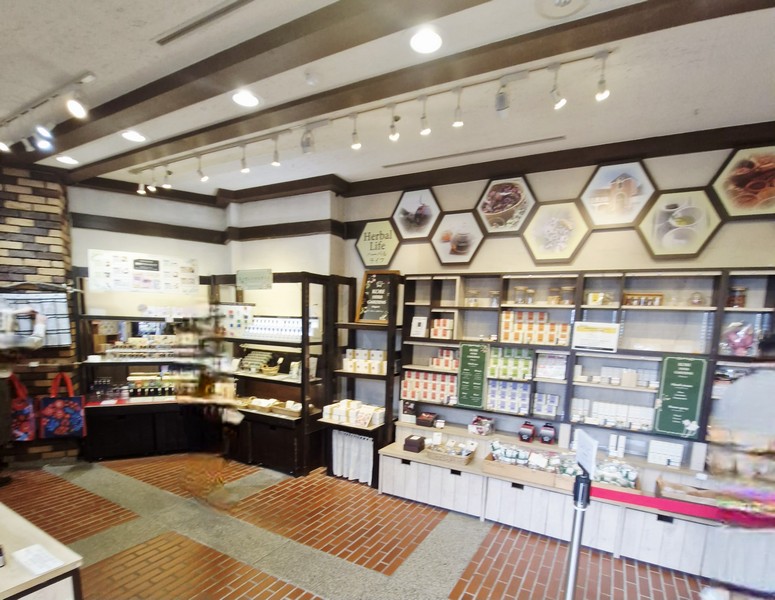
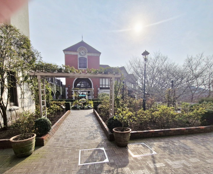
Modeled after the ancient Wartburg Castle in Eisenach, Germany, it has a large gift shop (offering herbal products, essential oils, herb-themed everyday utility items and souvenirs) and a dining option (The Herb Dining) plus access to sweeping outdoor terraces where you can enjoy your meals. There were a few stalls selling burgers, tarts , drinks and soft serve ice cream. We all indulged at the latter. The patio dining area was lined with theme carts (cookery, craft, tea and fragrance).
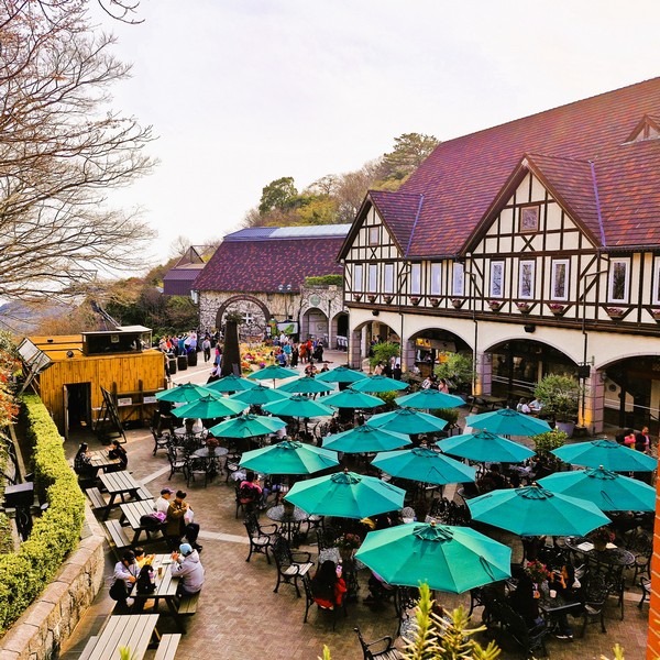
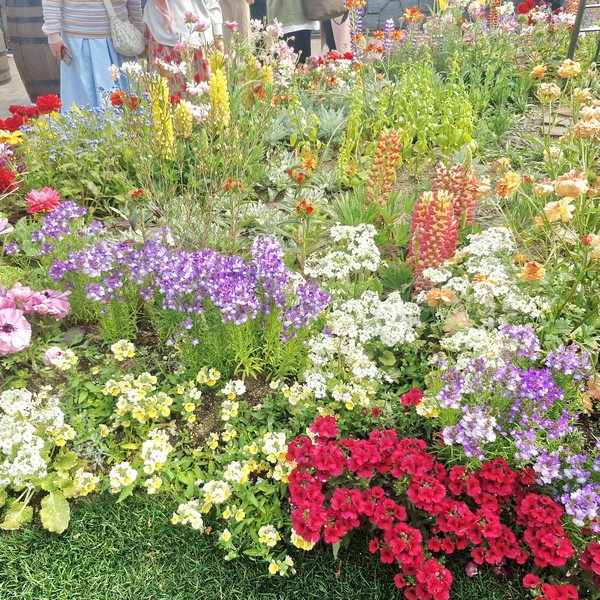
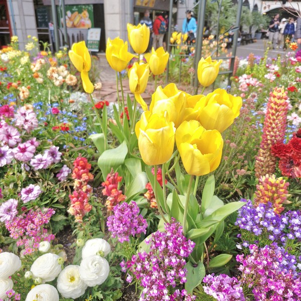
The gorgeous Welcome Garden (View Plaza) is surrounded by a castle gate and the View Rest House. Herbs and flowers are in bloom throughout the four seasons.
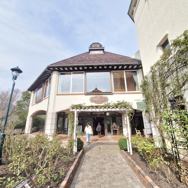
Nearby is the Mori no Hall, a small, wooden concert hall with great acoustics and a popular vernue for concerts and recitals.
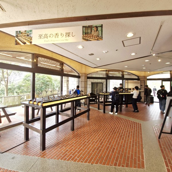
At the Fragrance Museum, at the ground floor, the historical aspects of fragrance are displayed and explained. Here, you can experience the scent of different natural essential oils.
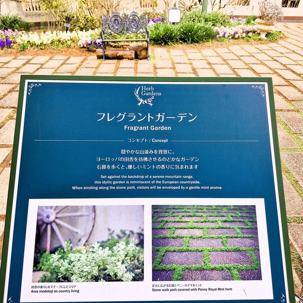
Fragrant Garden, set against the backdrop of a serene mountain range, this idyllic garden is reminiscent of the European countryside. When strolling along the stone path, visitors will be enveloped by a gentle mint aroma.
At the back of the hall, after the Clock Tower, is the Rose Symphony Garden, a central area with approximately 60 types of fragrant roses (mainly English roses), of assorted colors and shapes that change according to each variety, and other flowers.
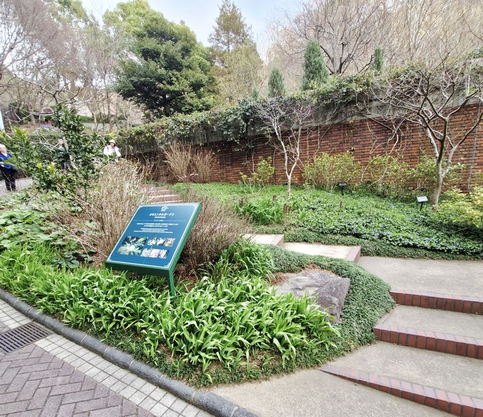
Instead of taking the cable car all the way back to the Sanroku (Bottom Station, we decided to walk downhill, from the summit, all the way to Kaze no Oka Mid Station, passing through twisting pathways and its 12 distinct, extensive, seasonally-themed areas while enjoying aromatic and scenic views.
The first themed area we passed was the Herb Museum. Like a living encyclopedia, it has around 100 varieties of herbs. Here, we learned about the attributes of herbs, how to use them and living with herbs. There is a guided tour of the garden every day.
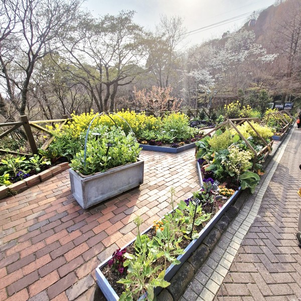
Further down is the Kitchen Garden “Potager,” a kitchen garden that features the mixed planting of vegetables and herbs. Its theme is a “stylish and practical kitchen garden” that you can also enjoy at your own home.
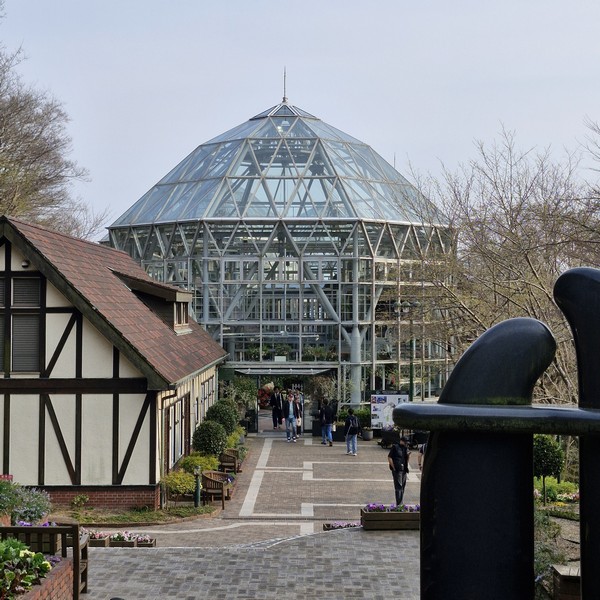
From here, a pathway leads down to the Glass House which features a spice museum, a herbal foot bath (behind the Glass House), café lounge, terraced restaurant (The Veranda, offering herb-infused treats) and tropical, fragrant, and citrus-themed plants, including a special, illuminated “rose garden.”
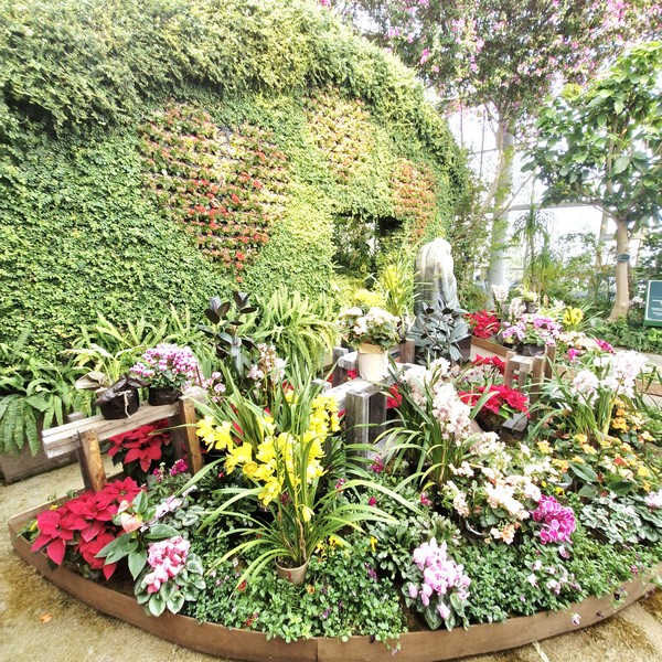
It provides visitors with the pleasure of planting, observing and smelling the scents of mainly tropical plants such as spices and fruits (guavas, bananas, passion fruit, papayas, etc.) grown in a climate-controlled environment. Also within this garden is a sculpture entitled “Statue of Mother and Child” presented by the Italian city of Terni, as well as a colorful wall mural flower bed.
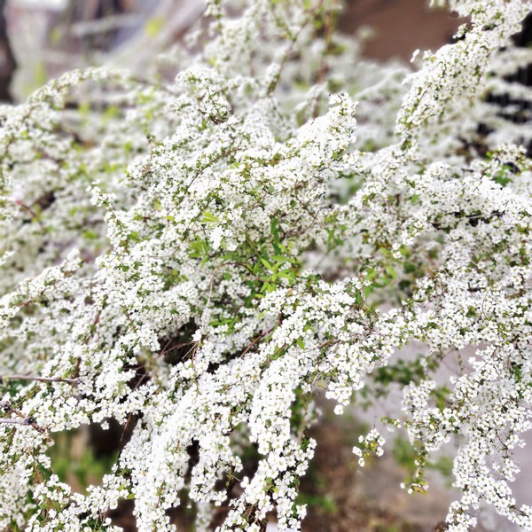
The Lavender Garden, ever enticing with its refreshing fragrance and lovely lavender flowers (which is known as the “Queen of Herbs”), holds a lavender-picking event every June.
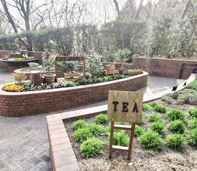
At the Four Seasons Garden, specially designed with pretty herbs and flowers arranged according to season, you can get a sense of each season by the roses and other flowers in full bloom covering the area.
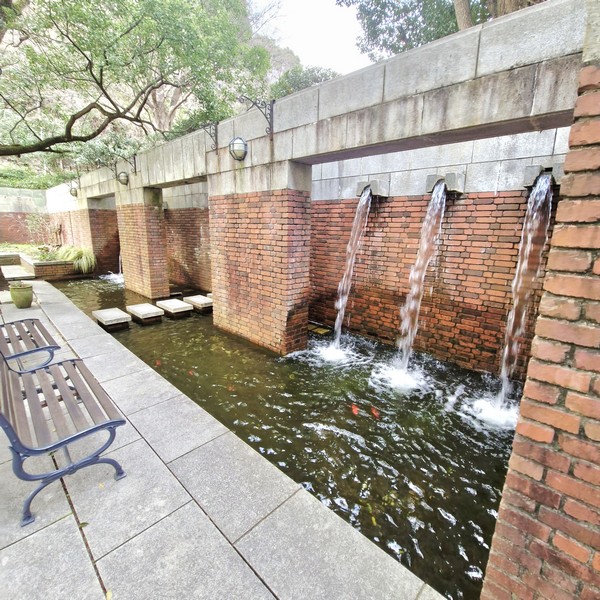
The Waterfall Patio, a waterside zone based on the image of Nunobiki Falls, has a tiered flower bed that continues on to the garden below as an expression of the flow of water from the waterfall. The waterside is inhabited by a variety of living things. Egg-laying, by the forest green tree frog, a precious species, can be observed during the rainy season.
The Oriental Garden cultivates useful plants (plants for use in foods, medicine and craftworks) indigenous to Japan and Asia. The garden also provides observation and learning that includes the methods of using each plant.
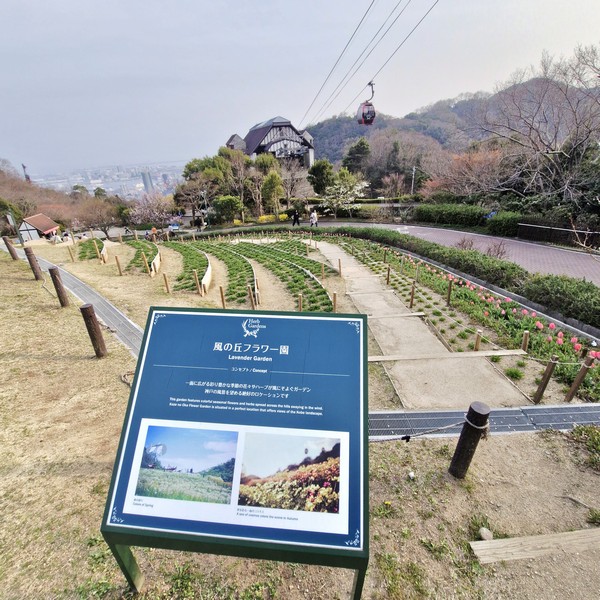
The Kaze no Oka Flower Garden, at the southern end of the garden, features colorful seasonal flowers and herbs spread across the hill. The garden is situated in a perfect location that offers views of the Kobe landscape. The Lily Garden, which blooms in summer, offers visitors the chance to enjoy the fragrance of lilies.
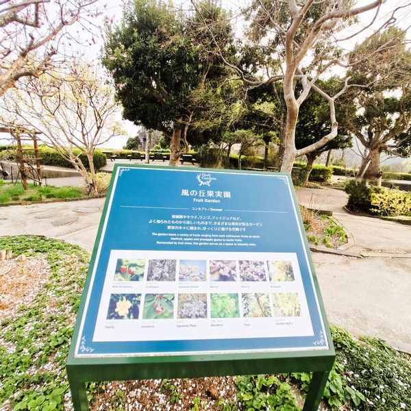
The Fruit Garden bears a variety of well-known fruits such as citrus, kiwi, pineapple guava, apples to exotic fruits.
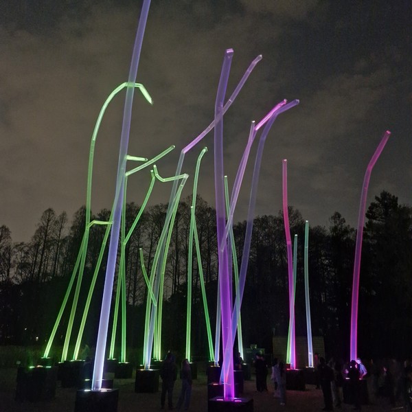
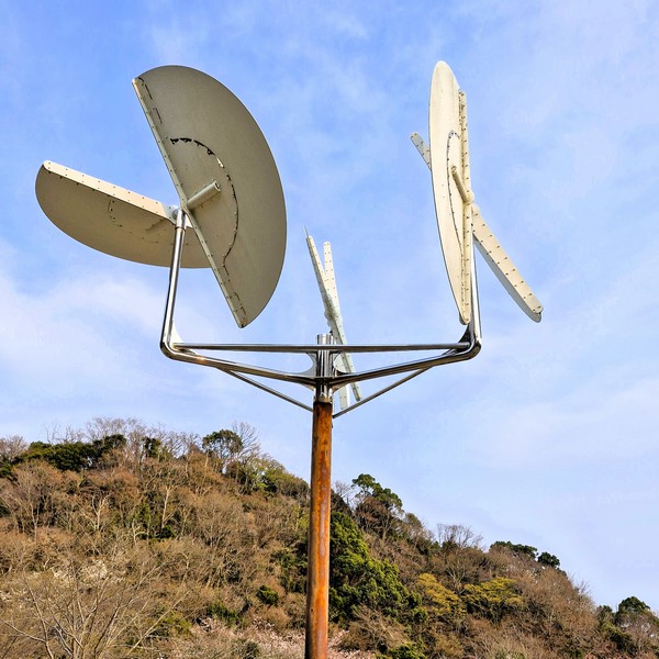
At the lower end of the garden, near the Kaze no Oka Mid Station, is a Recreation Area with hammocks, gift shop, play equipment (free to use) and the “White Constellation,” a wind sculpture, by Japanese sculptor Susumu Shingu, installed in 1991. Planted with mountain cherry blossoms and lilies, it also has a superb view of Kobe.
Nunobiki Herb Garden : 1 Chome-4-3 Kitanocho, Chuo-ku Ward, Kobe, Hyogo Prefecture 650-0002 Japan. Tel: +81 78-271-1160. Website: www.kobeherb.com. Open daily, 10 AM – 5 PM. Admission: 2,000 yen/adult (admission ticket + round trip ropeway). Coordinates: 34°42′55″N 135°11′32″E.
How to Get There: The garden is accessed via a scenic 5-minute Shin-Kobe Ropeway gondola lift from Shin-Kobe station in downtown Kobe.