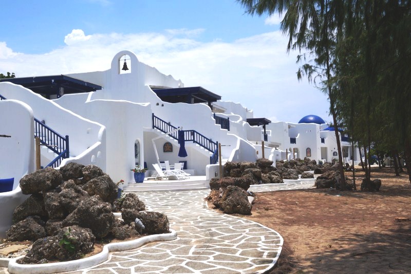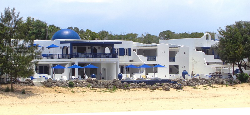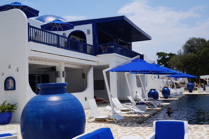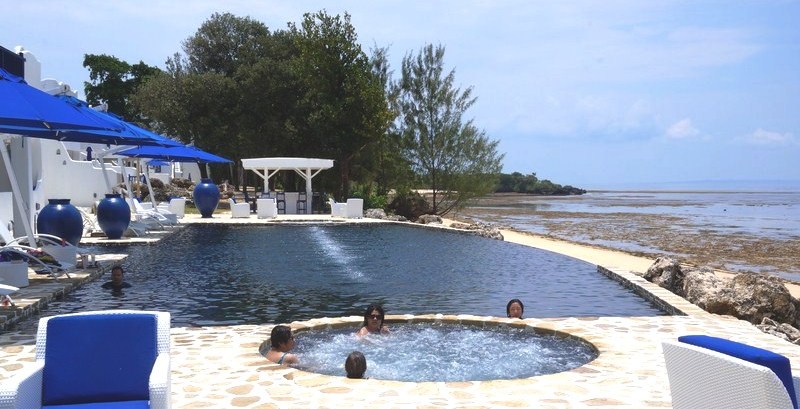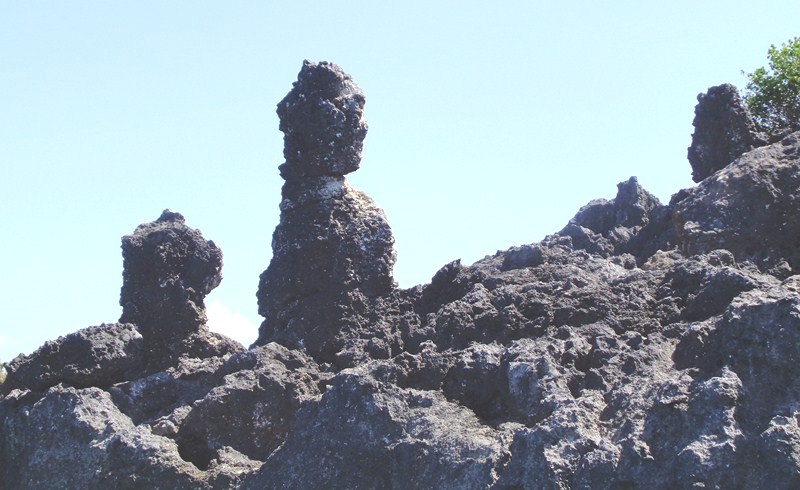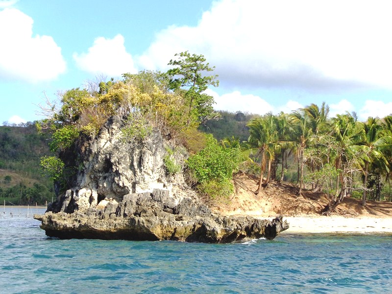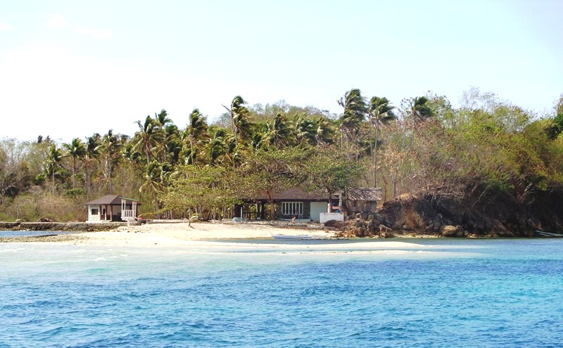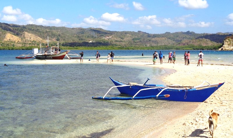
Isola di Francesco (Panglao, Bohol)

Isola de Francesco

Part of the Panglao Bluewater Resort-sponsored CountrysideTour

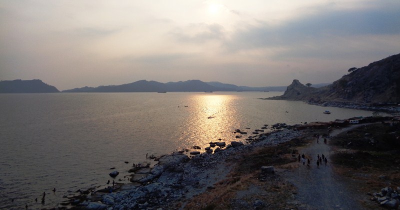
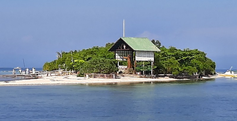
After our Dolphin Watching Tour, we proceeded to the nearby Isola di Francesco (“Island of St. Francis”) on Pungtud (or Pontod) Island.
In the past, I have seen this island only from afar, from the vantage point at nearby Virgin Island.

Check out “Virgin Island“
The island is owned by the Philippine Centre of St. Pio of Pietrelcina and Mr. Ramon Rodriguez, a devotee of Italian Capuchin monk St. Pio (Francesco Forgione) of Pietrelcina, who was said to have been once blind. He was said to have prayed to St, Pio and his eyesight was restored.
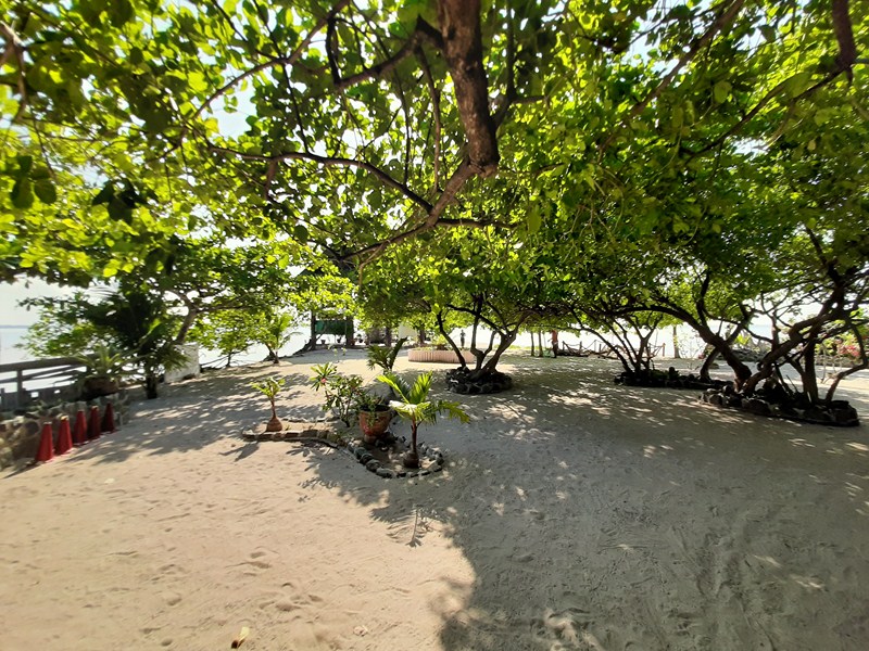
A mere 10-min. boat ride from Panglao town proper, Isola di Francesco is a destination for meditation, silent prayer and reflection in harmony with the lapping of the waves and the chirping of the island’s resident birds.
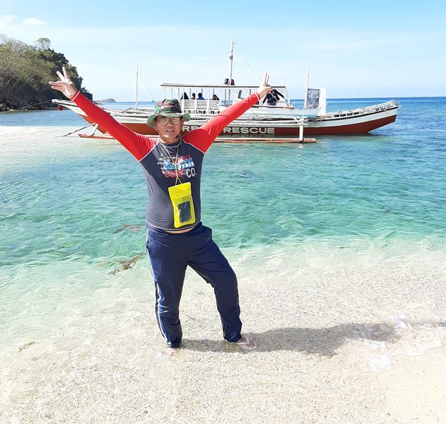
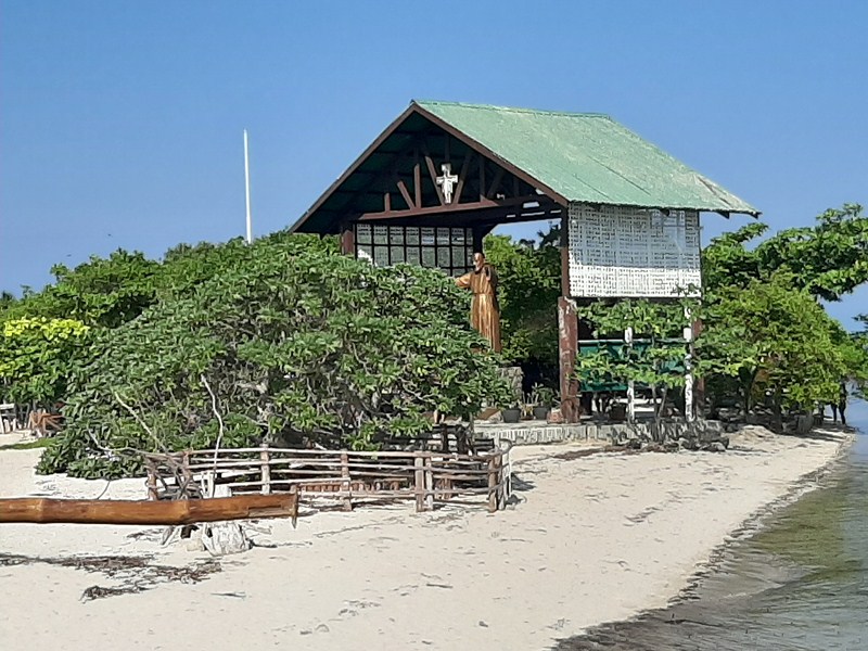
Upon arrival on the island, we were greeted by the welcoming arms of a huge statue of St. Pio of Pietrelcina.
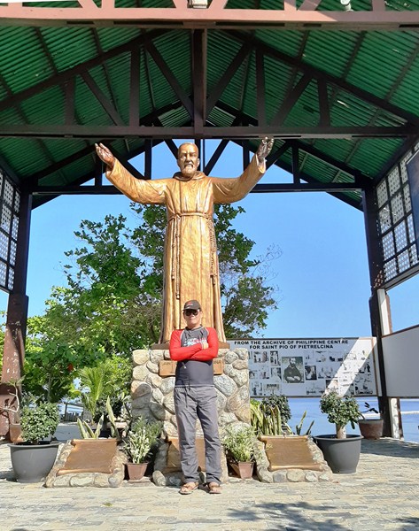
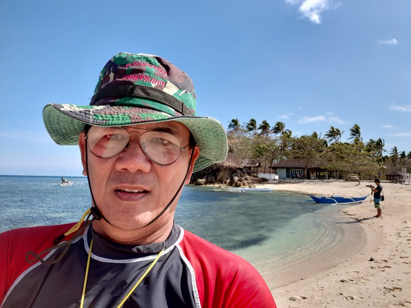
The author with the huge statue of St. Pio of Pietrelcina

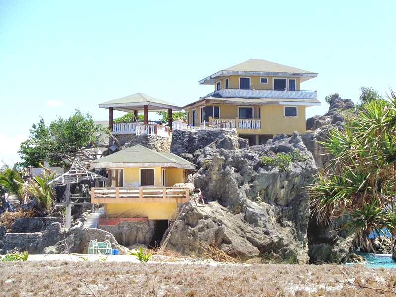
This solemn and peaceful island has a chapel (opened in 2016), a visitor’s center, a mini museum, clean restrooms, water tanks, changing rooms and guest houses.
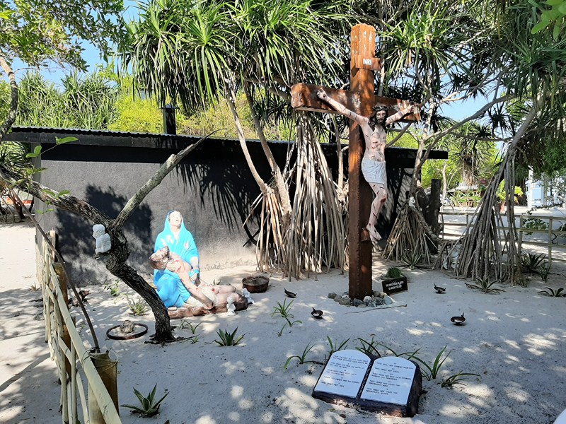
Tableau of the Crucifixion

There are also several religious sculptures (some in the middle of the sea) of Jesus Christ, the saints, angels, cherubs, and the Holy Family.
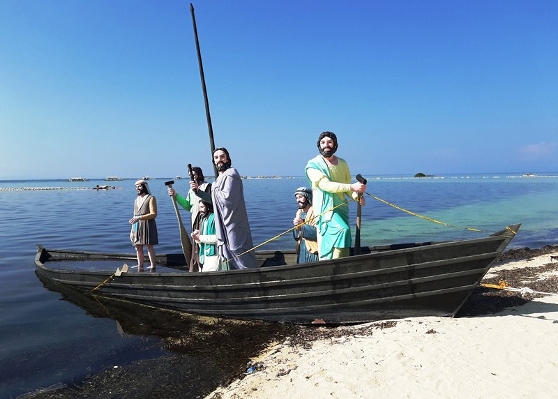
Life-size statues of Jesus and the Apostles on a fishing boat

Just off the waters of the beach are  quite unique, life-size statues of Jesus and the apostles. Most of the cost to develop this place was donated.
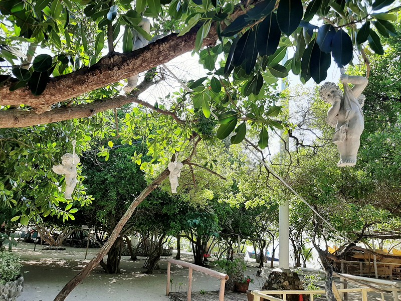
Cherubs hanging from trees

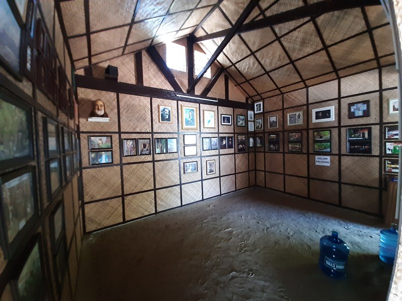
The interesting Isola di Francesco’s Nature’s Art Museum, filled with photos of the Franciscan friars as well as artwork that speak of the grandeur of God and His Creation, was opened last March 2017. A 10 AM holy mass is said every 23rd day of the month in the chapel.
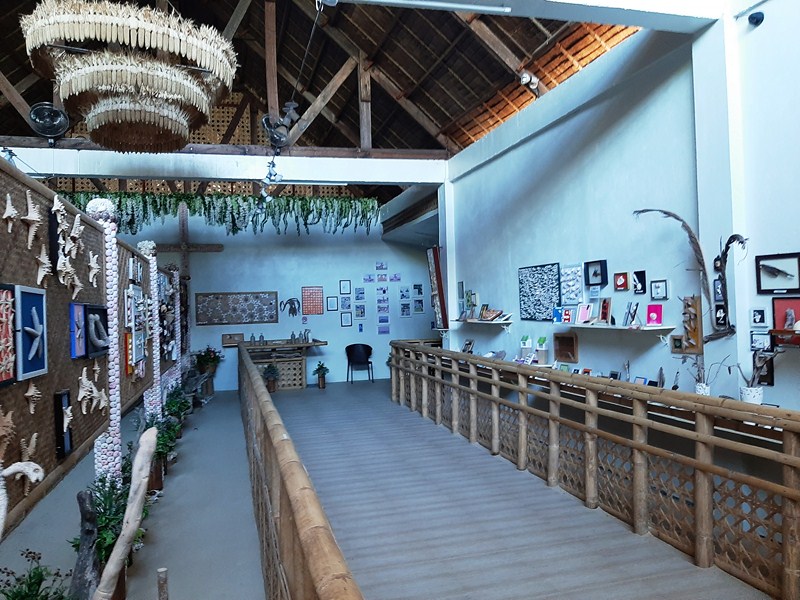
Nature’s Art Museum

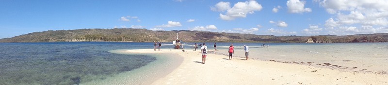
This serene island, maintained by the faithful as religious shrine, is not your usual tourist trap and is not often included in the island hopping packages, an exact opposite of the much crowded and touristy island and beach destinations of Panglao. You only need an hour or so to explore the island.
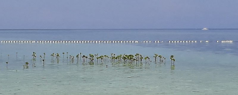
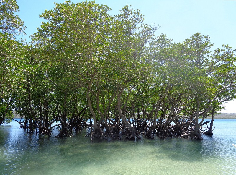
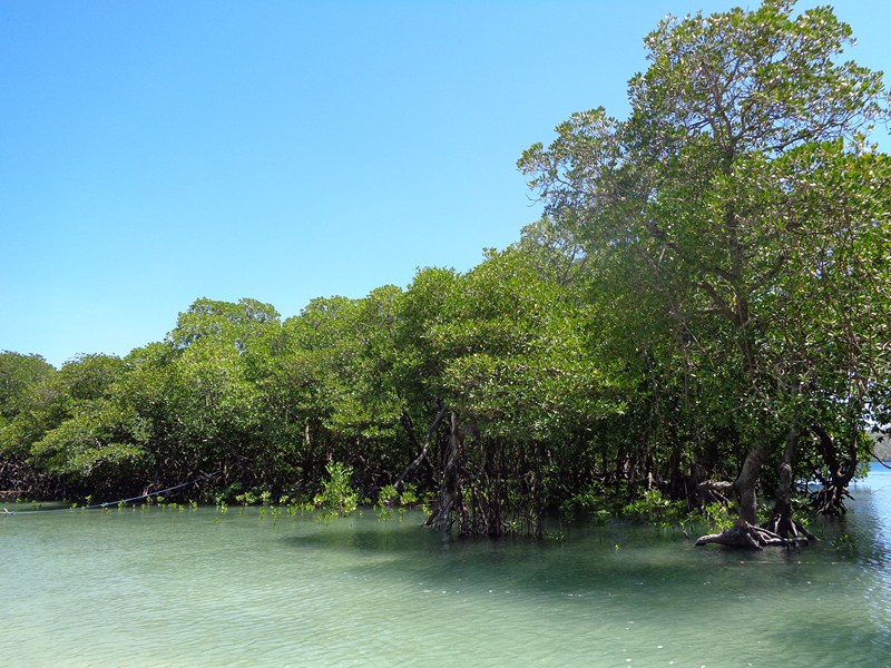
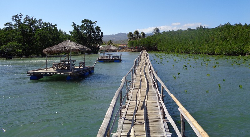
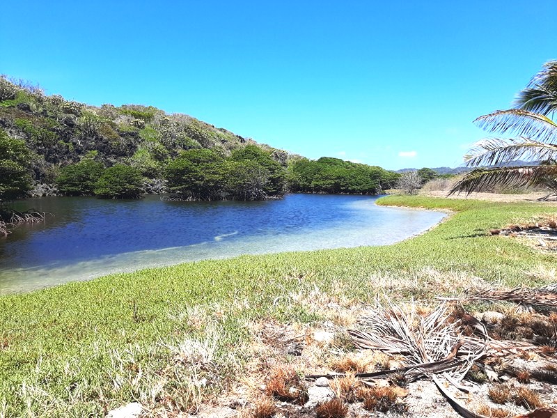
Young mangroves shoots found offshore

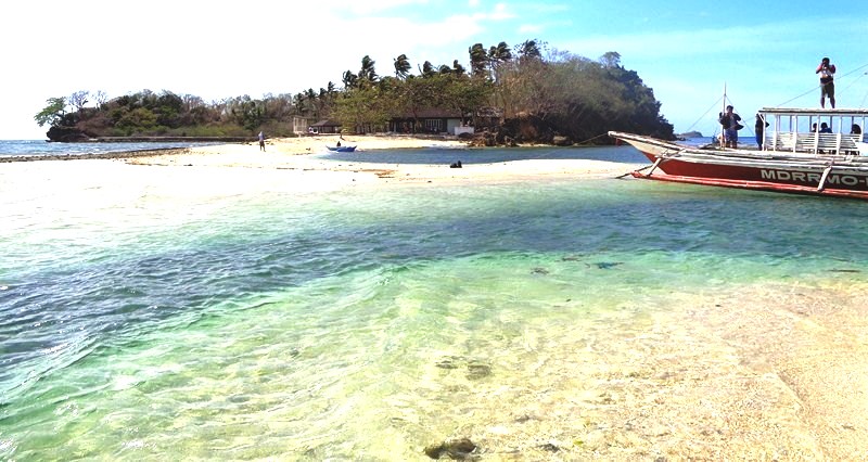
This beautiful sandbar is open to the public and there is free boat shuttle service, at Poblacion Panglao, near the church, going to and from the island for those who wish to offer prayers for healing, pay tribute or simply just want to visit the place.
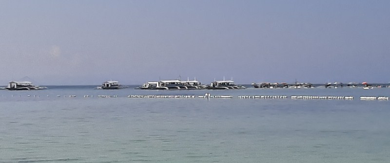
The tourist trap called Virgin Island seen from Isola di Francesco

Visitors can stay as long as you want. Even the use of the kayaks, snacks (bottled water, soft drinks, etc.)  and birds’ food to feed pigeons are free (however, donations are welcome). There’s a souvenir shop selling religious items.
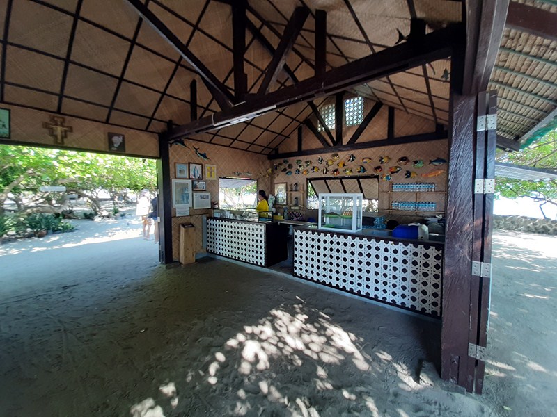
Visitors Center
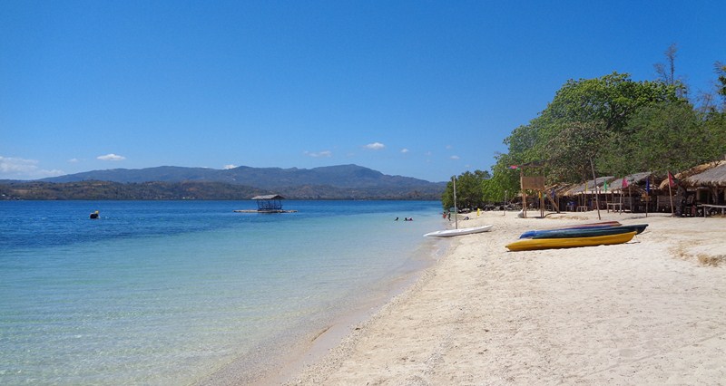
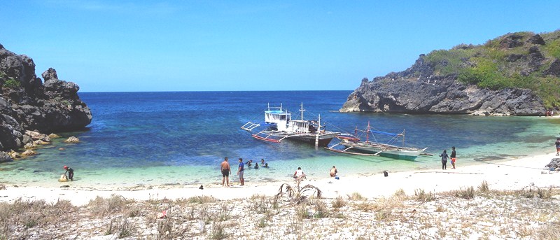
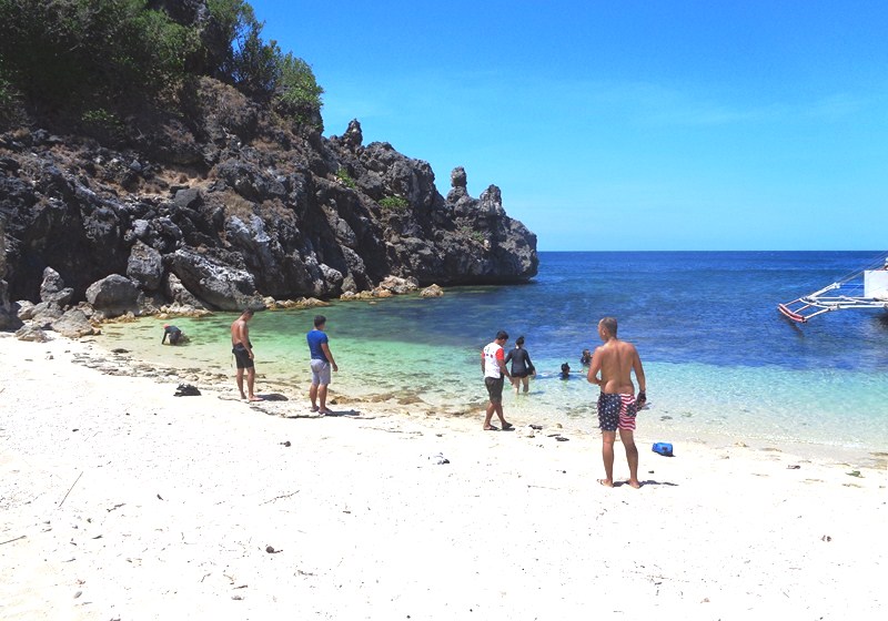
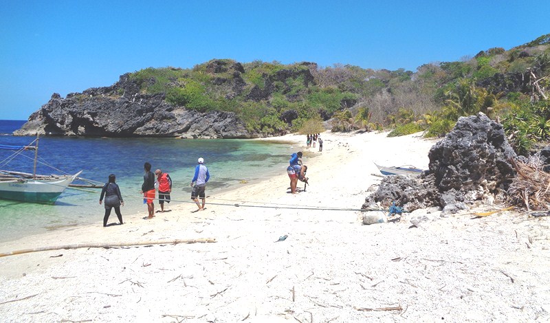
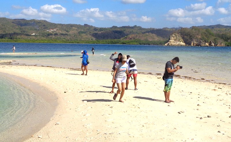
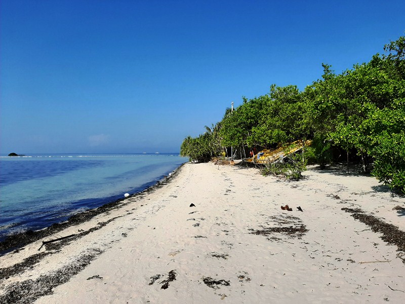
The beautiful island has white sand all over, with plenty of seaweed, some mangroves and big and small starfish but no fish. The waters around the sandbar are pristine and clean and very good for swimming.
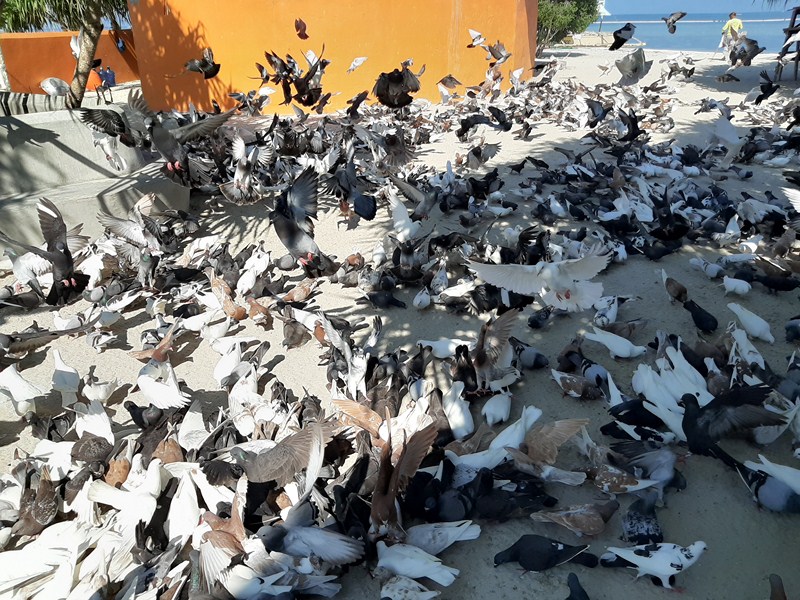
The doves and pigeons of Isola de Francesco

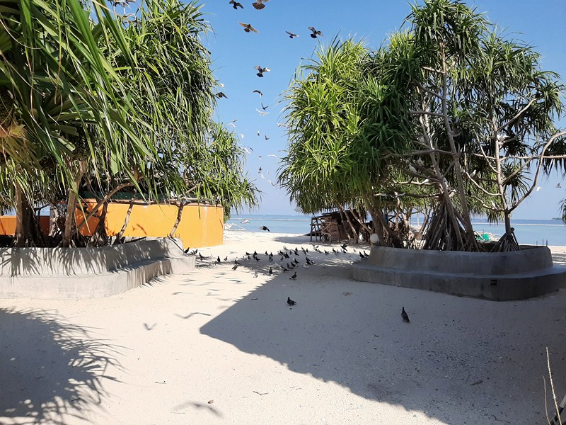
The island is a dove and pigeon sanctuary and you can see eggs and babies in nests in the central garden area.
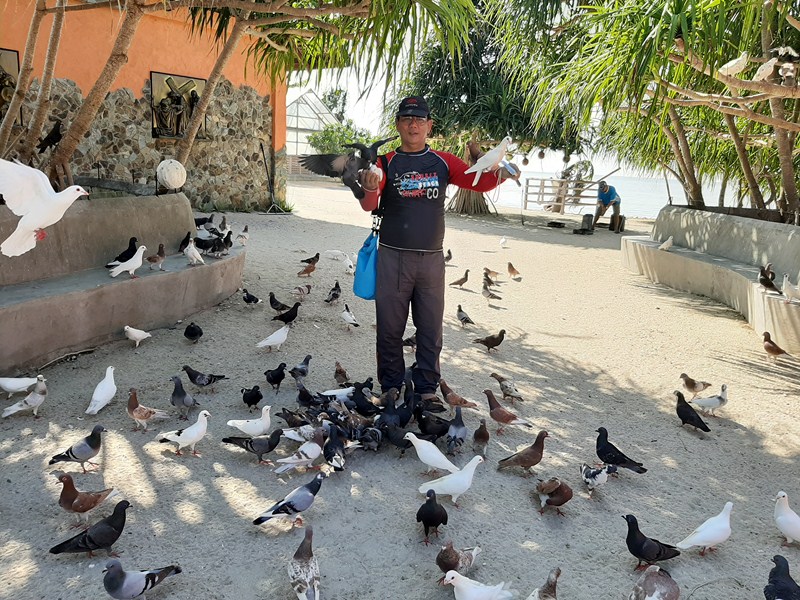
The author hand feeding some of the doves and pigeons

You can feed the doves and pigeons by donating any amount in the store for a plastic of bird feed. Even when there’s a sign to not scare them, some people scare the doves away to get a beautiful picture of it with them.
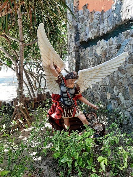
Statue of St. Michael the Archangel

However, here are rules to be followed.  You cannot bring any food or drinks on the island.
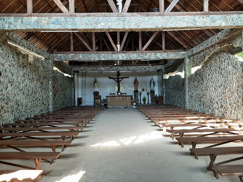
The chapel

At the chapel, you cannot enter if you are wearing shorts, short skirts, sleeveless, etc. (however, they can lend you a sarong to cover yourself).
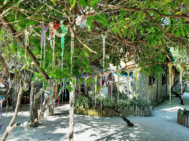
Rosaries hanging from trees

As this is a shrine, peace and soft talk is very much appreciated and public displays of affection and ogling is frowned upon here. 
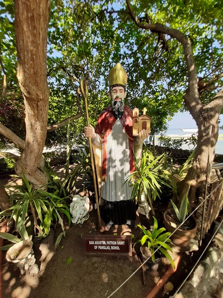
Statue of St. Augustine of Hippo, the patron saint of Panglao

Bohol Tourism Office: Governor’s Mansion Compound, C.P.G. Ave. North, Tagbilaran City, 6300 Bohol.  Tel: +63 38 501-9186.  E-mail: inquire@boholtourismph.com. 

Panglao Bluewater Resort: Bluewater Rd., Sitio Daurong, Brgy. Danao, Panglao, 6340 Bohol.  Tel: (038) 416-0702 and (038) 416-0695 to 96. Fax: (038) 416-0697.  Email: panglao@bluewater.com.ph. Website: www.bluewaterpanglao.com.ph.  Manila sales office: Rm. 704, Cityland Herrera Tower, Rufino cor. Valera Sts., Salcedo Village, 1227 Makati City, Metro Manila.  Tel: (632) 817-5751 and (632) 887-1348.  Fax: (632) 893-5391.
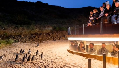
Phillips Island – Penguin Parade (Melbourne, Australia)

Penguin Parade (photo: www.visitphillipsisland.com)

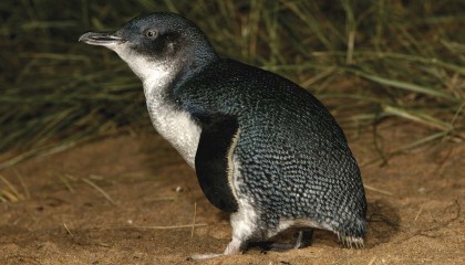
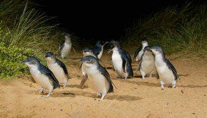
The highlight of our Phillip Island tour was the iconic Penguin Parade, one of Australia’s most popular tourist attractions. Frolicking, friendly fairy penguins from Australia’s largest colony of Little Penguins (smallest species of penguins in the world) arrive at sunset every evening and the access doors of the new Penguin Parade Viewing Center to the viewing areas open approximately 1 hour prior to estimated penguin arrival time.

Check out “Penguin Parade Viewing Center”


Little Penguin (photo: www.visitphillipisland.com)

More than six hectares of prime penguin habitat from the important Summerland Peninsula (which the penguins land on to find their burrows each evening) were restored on the site of the old visitor center building and coach parking areas, creating homes for an additional 1,400 breeding penguins.

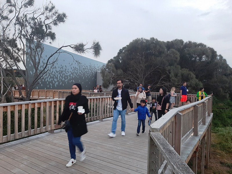
Leaving the Penguin Parade Visitor’s Center for the parade grounds

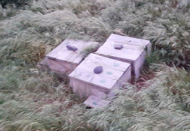
These penguins breed in burrows, held together with native grasses and Bower spinach, usually made in the sand dunes during the winter months. Around The Nobbies and the rehabilitated areas of the Penguin Parade Visitor Centre, the penguins nest in wooden nesting boxes provided by Phillip Island Nature Parks. Egg laying (two whitish eggs are usually laid) starts in winter and can continue until December.

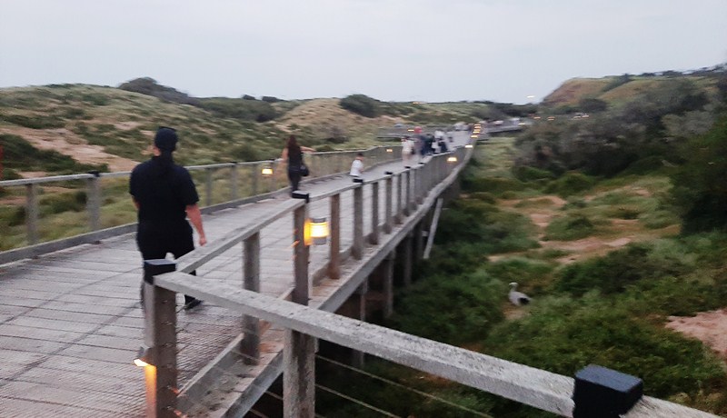
The wooden boardwalk

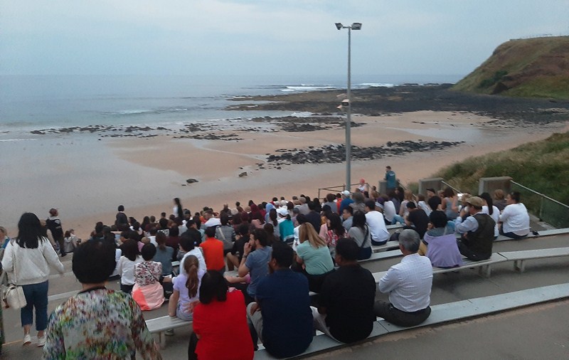
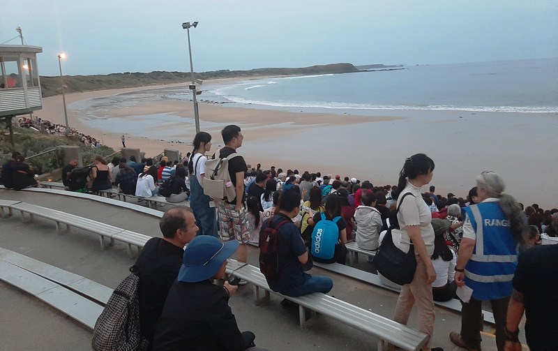
As soon as the access doors opened, we made our way, together with the others guests, along the viewing boardwalks, to the beach.  Along the way, we passed by a number of the aforementioned wooden nesting boxes. At the end of the boardwalk, we were all made to sit down at wooden bleachers along the beach.  As the bleachers were already full, we just sat down on the sand.

Wooden nesting boxes

Photography was strictly forbidden from the stands, where we sat or anywhere else as penguins have sensitive eyes and a bright, sudden flash or unusual light can frighten or disorientate a penguin. To ensure penguins keep coming back to this special area we were asked to not use cameras, camcorders or camera phones at the Penguin Parade.

The Penguin Parade viewing area

At the appointed time, the Little Penguins came out of the water and made their way, across the beach, to the sand dune burrows and the wooden nesting boxes they now call home. Since the beach was very dimly lit, we had a hard time seeing the penguins as they came out in small groups of four or five at a time. It was only when we walked back to the Visitor Center entrance that we saw the penguins clearly at the sides of the boardwalk.

Back at the center, we had dinner at the Little Penguin Café before returning to our coach for the 144.8 km., nearly 2 hour drive back to Melbourne and our hotel.

Penguin Parade (photo: www.visitphillipisland.com)

Penguin Parade: 1019 Ventnor Rd., Summerlands, Victoria 3922. Tel: +61 3 5951 2830. E-mail: info@penguins.org.au.  Open daily, 10 AM (2PM on Christmas Day). Admission: $26.60 (adults), $13.20 (children, 4-15 years of age), $66.40 (family) and $18.55 (Concession).

Phillip Island – Cowes (Melbourne Australia)

Cowes

From the Nobbies Ocean Discovery Center, we again boarded our coach for the 15-km. drive, via the Ventnor Rd./C473, to Cowes, the main township and largest town on Phillip Island, for some sightseeing.  Phillip Island Road, the main road of the island, led us into Cowes, becoming Thompson Avenue, the town’s main road.

Facing towards French Island and the Mornington Peninsula, Cowes has a small 2016 population of 4,839.

Check out “Phillip Island – Nobbies Ocean Discovery Center“

Originally known as Mussel Rocks, it was renamed, in 1865, by government surveyor Henry Cox after the seaport town of Cowes on the Isle of Wight, England.

In fact, many of the town’s roads are named after other towns and villages on the Isle of Wight, the island that inspired Cowe’s as well as the town of Ventnor‘s names. A Post Office was opened here on August 1, 1869.

In recent years, Cowes, in the Gippsland region on the northern side of the island, has rapidly expanded in its size with many estates and apartments being built, on what was previously rural farmland, in and around the town. An estimated 70% of the houses here are owned by absentee owners, most of whom live in and around Melbourne.

An ideal base to explore Phillip Island’s many attractions, Cowes is 12 kms. from the famous Phillip Island Penguin Parade at Summerlands, 14 kms. from the scenic Nobbies rock formations and visitor center, 6 kms. from the Phillip island Grand Prix Circuit, 7 kms. from the Koala Conservation Centre and 9 kms. from the peaceful fishing village of Rhyll.

Cowes Beach

We were all dropped off at Thompson Avenue whose distinctive features are Golden Cypress trees (recognized by the National Trust of Australia), planted in the early 20th century, which lines the road for 1 km.

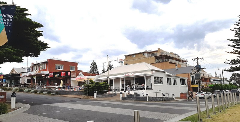
Walking further into commercial center of Cowes, the road began a gradual descent, terminating with a T-intersection at the waterfront. As we approached the waterfront, the density of restaurants, cafes, gift shops, hotels, supermarkets and general retail outlets, all catering to the busy holiday crowds, increased.

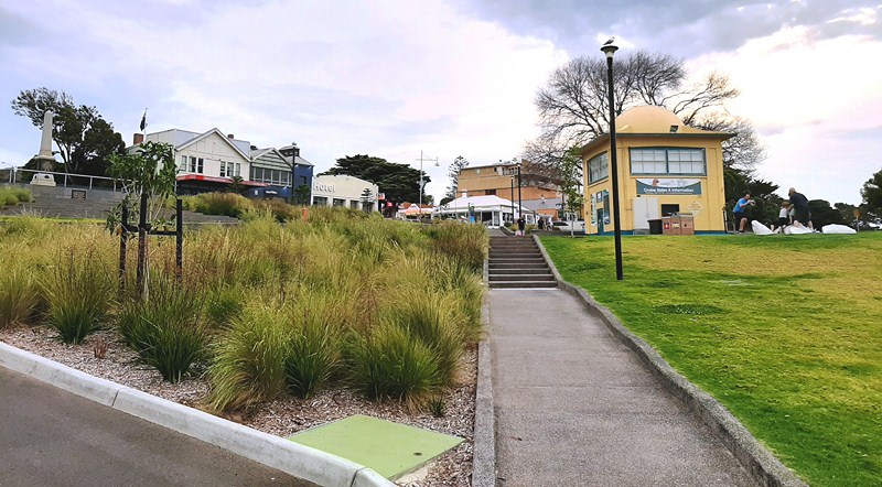
At the end of Thompson Avenue was the waterfront boulevard of The Esplanade and the attractive, not too crowded and well maintained Cowes foreshore which stretches between Mussel Rocks and Erehwon Point.

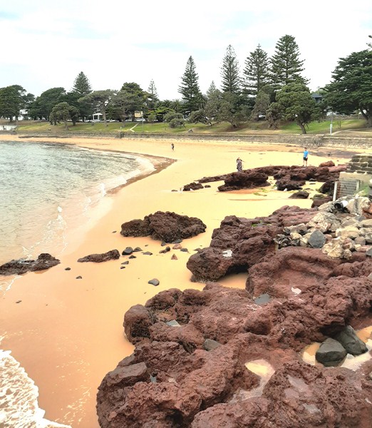
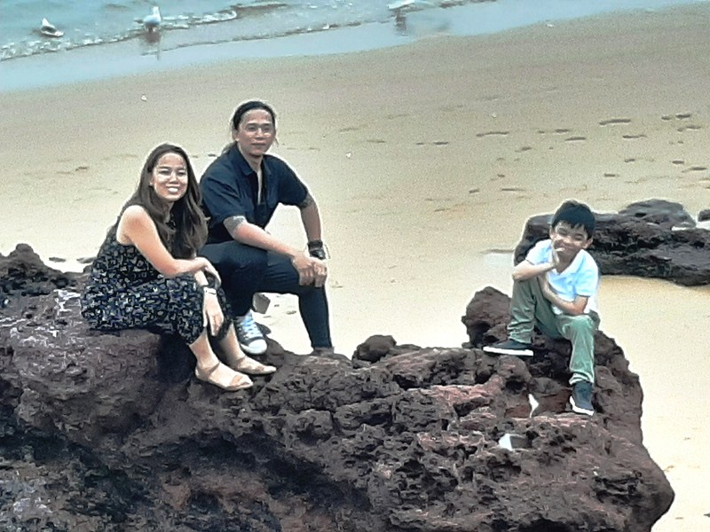
Cheska, Bryan and Kyle among the rock formations of Cowes Beach

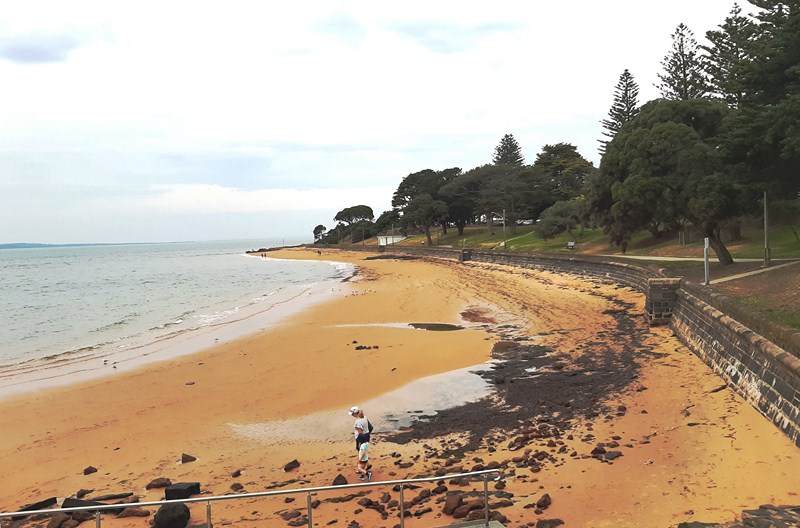
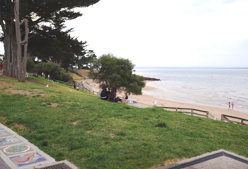
The foreshore, consisting of wide expanses of lawn shaded by a mixture of native and cypress trees, complete with barbecue areas, picnic shelters and pathways, slopes down to the clean, sheltered, golden sand Cowes Beach whose inviting waters are popular with swimmers and families. Showers, changing rooms and toilets are all located close to the beach.

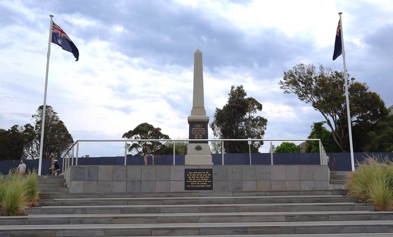
Nearby is the Cowes War Memorial, a granite memorial obelisk erected in 1920 in memory of the 13 men of Phillip Island who made the supreme sacrifice in World War One. Names of the fallen from World War Two were added at a later date.

War Memorial

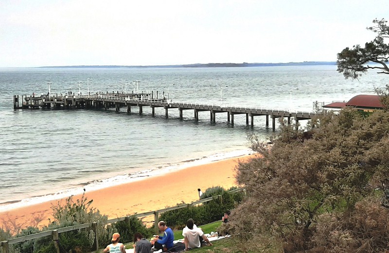
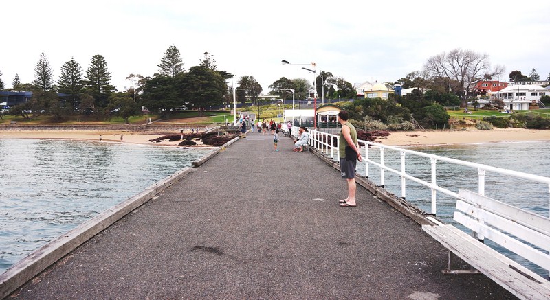
On the beach, opposite the Isle of Wight Hotel (which was built in 1870), is the Cowes Jetty.

Cowes Jetty

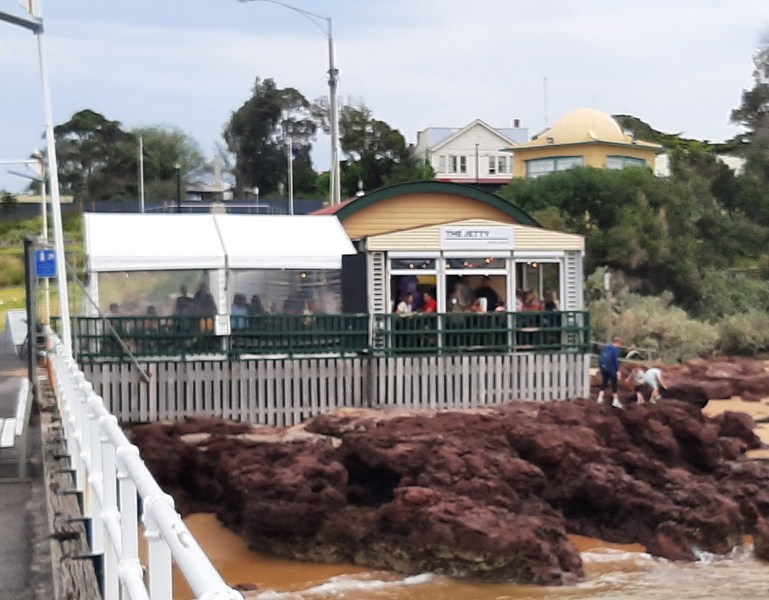
Built in 1870, it remains a focal point of the town. At its entrance is an outdoor café.

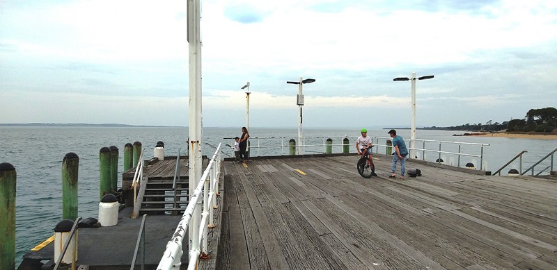
Its T-shaped jetty structure, the departure point for several ferries and tourist boat cruises, is also suitable for fishing.

Outdoor Cafe

Cowes: Phillip Island, Victoria, Australia.

How to Get There: Cowes is about a 2 hours’ drive, by road to the mainland via a bridge at San Remo, from Melbourne and can also be reached by coach, or passenger ferry from Stony Point on the Mornington Peninsula.

Phillip Island – The Colonnades (Melbourne, Australia)

The Colonnades

After our Moonlit Sanctuary Wildlife Conservation Park visit, we again boarded our coach for the 76.1 km (1-hour) drive, via S Gippsland Highway/M420 and M420, to the 900 m. long The Colonnades (also called Ocean Reach Beach), the western extension of Woolamai Surf Beach. Rock reefs in the surf form the boundary between the two beaches.

Check out “Phillip Island – Moonlit Sanctuary Wildlife Conservation Park“

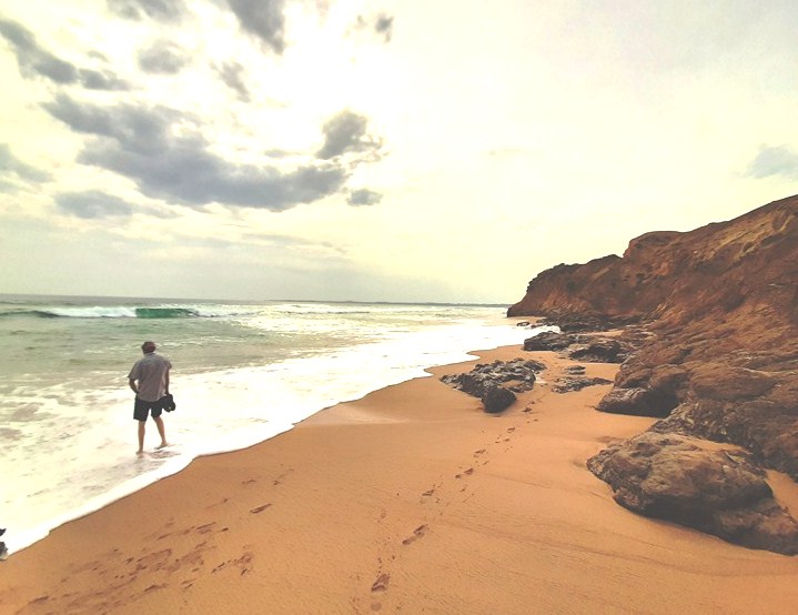
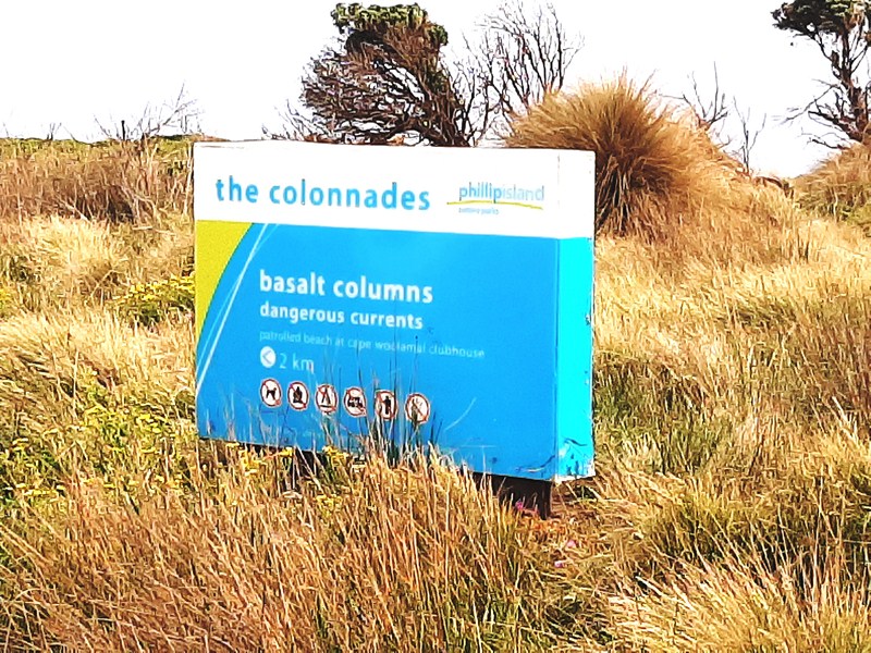
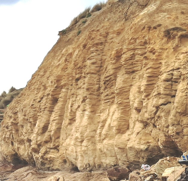
Facing southwest, it is bordered, in the west, by the red basalt cliffs of Forrest Caves. From the parking lot, it was a short walk down to the beach via a beach access boardwalk and stairs.  Visible along the beach are columnar basalt, unusual rock formation resembling organ pipes on the tall cliffs that gives The Colonnades its name.

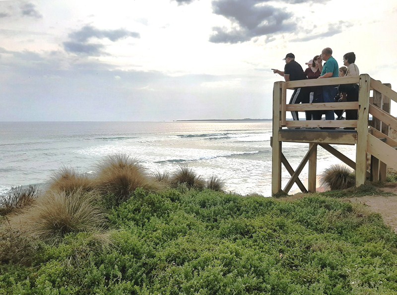
Viewing deck overlooking the beach

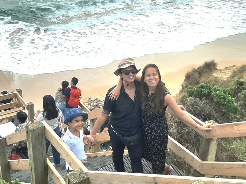
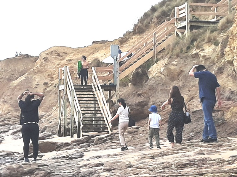
Jandy, Bryan and Cheska at the beach access stairs

Each column, typical of the joints that form in a flow of basalt after it has solidified and as it cools, represents the depth of one lava flow. The column’s length is indicative of the thickness of the lava flow and the contraction of the solid rock produces cracks to form polygons.

Basalt columns along the tall cliffs

At the Colonnades, the basalt has been extensively altered (likely occurring soon after the basalt solidified and may have been caused by hydrothermal chemical processes), is crumbly and soft and has a soft and pale texture, showing onion skin weathering in places. Nevertheless, although the face of the cliff is regularly falling onto the beach and being washed away, it still retains the original columnar texture.

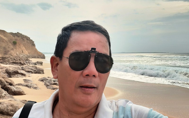
The author at the beach

The exposed, high energy beach, used by surfers and fishers, isn’t suitable for safe bathing. If bathing here, don’t expect a few gentle waves. Use extreme care, stay close inshore and on the bar, and clear of the rips, rocks and reefs.

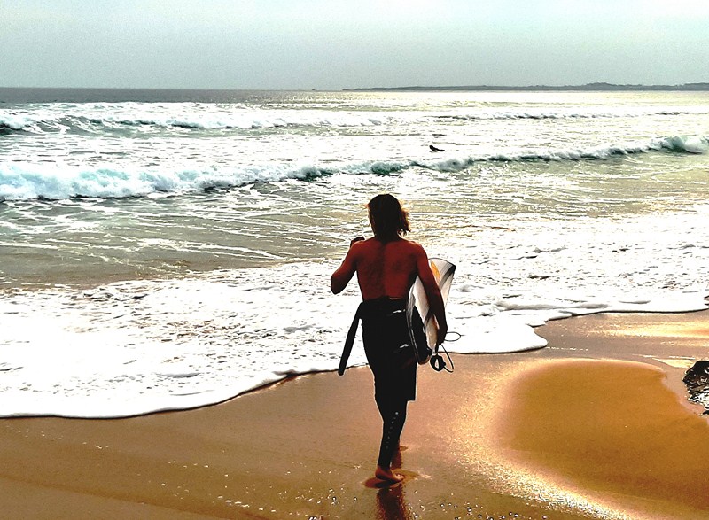
A surfer taking to the waves

The reefs and high waves ensure potentially good left and right breaks along this section. Waves here average 1.5 m., with strong rips dominating the wide surf zone, with permanent rips against the reefs.  The permanent rip holes, against the rocks and reefs, can be fished from the beach.

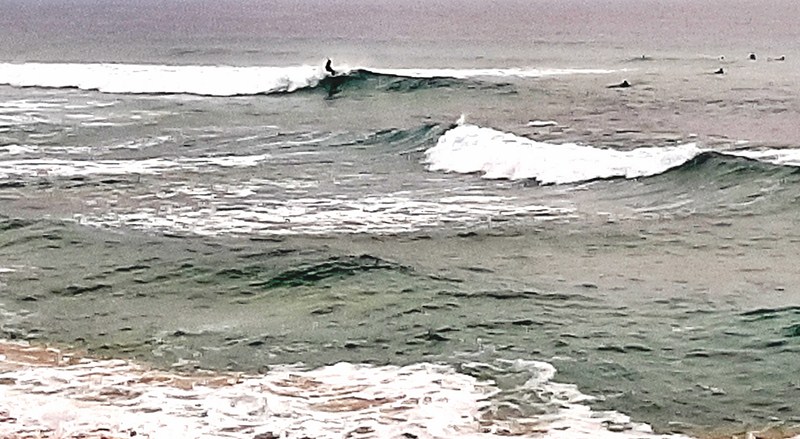
A lone surfer challenging the waves

A hidden gem tucked away out of sight but very accessible, The Colonnades is good to visit any time (but best at low tide) and is truly nature at its best. The cliffs and the beach were amazing for photography.

My family exploring the beach

The Colonnades: 85 Veterans Dr, Newhaven, Phillip Island, Victoria 3925, Australia.

How to Get There: From Phillip Island Rd., at the township of Cape Woolamai, turn into Woolamai Beach Rd and then into Lantana Rd to the right (west) which heads south-west to The Colonnades. There is plenty of parking at the end of the road. The beach is accessible in the east by the road beside the airfield, and in the west via Forrest Caves.

Brighton Bathing Boxes (Melbourne, Australia)

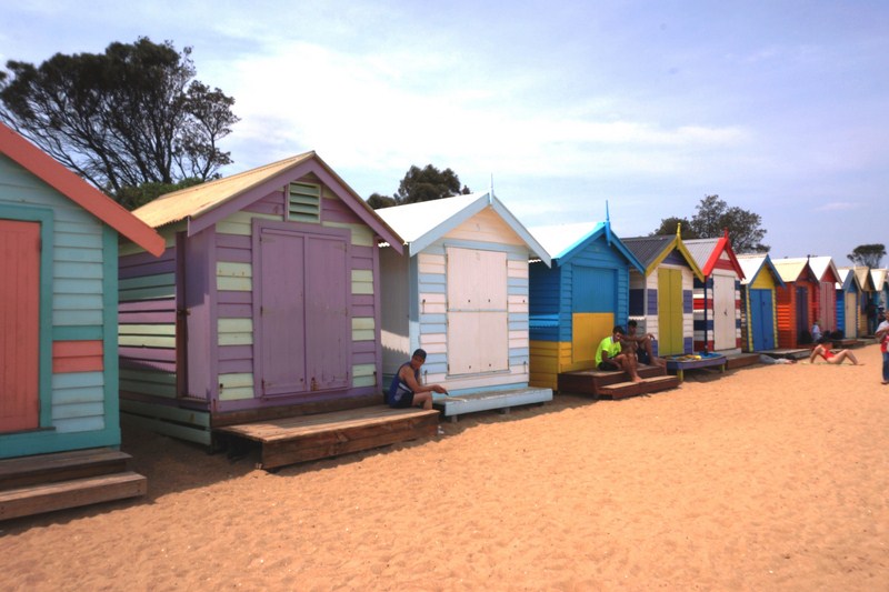
Brighton Beach Boxes

On our third day in Melbourne, Cheska booked a Philip Island Day Tour for us.  After breakfast at our apartment, we were all picked up at 11 AM, at a pick up point near our apartment, by Sophia, our Go West tour guide cum coach driver.  After all the other participants were all picked up, we were on our way by 11:50 AM.

One house for the affluent at the Esplanade community

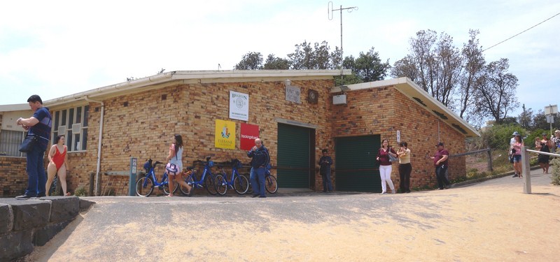
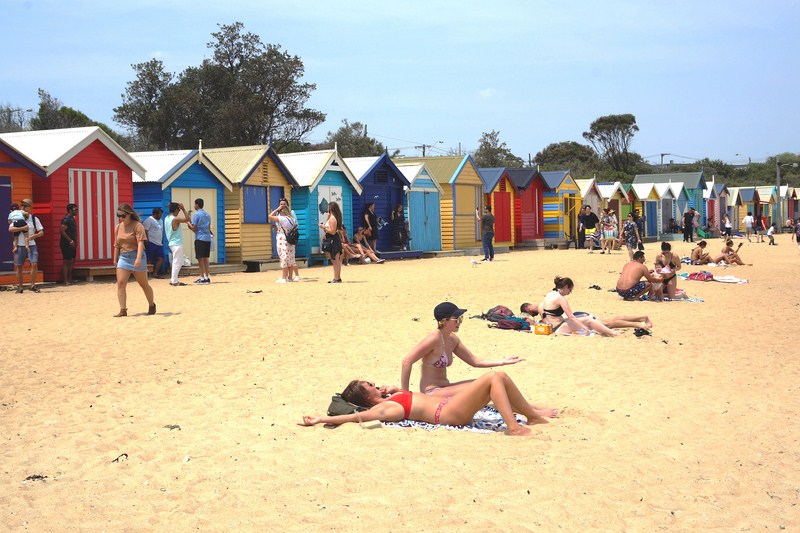
The first destination in our itinerary, a 13 km./20-min. drive away, was trendy Brighton Beach (actually called Dendy Street Beach) along Port Philip Bay where we were to visit the iconic Brighton Bathing Boxes, a row of 82 (it’s recorded that before the Great Depression, there were between 100 to 200 boxes on record) distinctive, multi-colored and uniformly proportioned wooden beach huts lining the foreshore of one of Melbourne’s most exclusive and affluent neighborhoods.

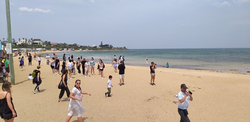
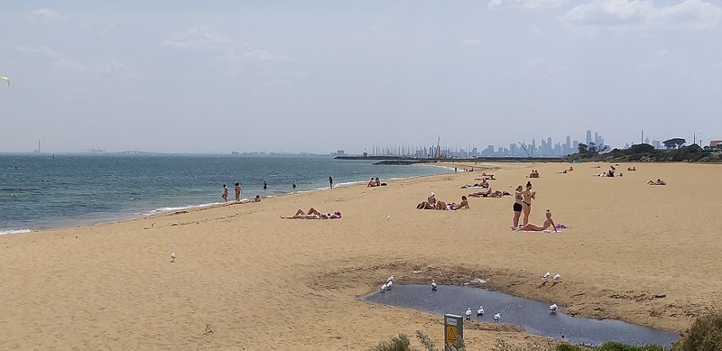
Brighton Beach

One of the most photographed spots in the city, these boxes do have a lot of history behind them and they still retain their charm and classic architectural features to this very day.  They were built more than 100 years ago when Australians were a little more modest in response to very Victorian ideas of morality and seaside bathing.  These boxes, made from timber frames, weatherboard sidings and corrugated iron roofing, were used by women for privacy when changing into their swimwear.

Some of the 82 colorful Bathing Boxes

In keeping with their classic 1800’s Victorian architectural features and style, even today, the boxes don’t have running water or electricity. Despite their lack of modern conveniences and the laws against camping in them, what the Brighton Bathing Boxes lack in amenities, they make up for in incredible views of Port Phillip Bay and towards the Melbourne city skyline. That view comes with a price tag. It is rare for the existing boxes to hit the market as they are tightly held and often passed down through generations.

According to Sophia, Brighton Bathing boxes can only be sold to locals living in the Bayside area.  There are also strict rules outlining what the boxes can (and cannot) be used for. Owners cannot sleep in them or use them for advertising purposes.

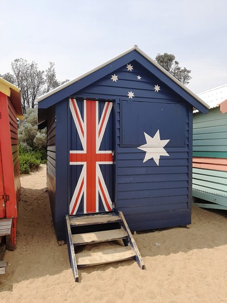
The much photographed Bathing Box painted with the Australian flag

They cannot also be rented out to others. Today, these colorful timber boxes are used for storing fishing gear, deck chairs and sheltering from the sun on a scorching day at the beach. In 2017, a Brighton Bathing Box did hit the market and it sold for a jaw-dropping $326,000 (AUD) to a local resident.

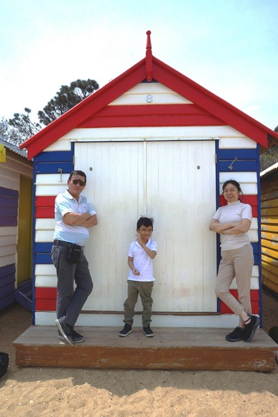
The author with Kyle and Grace beside a Beach Box

Each of the pastel painted Brighton Bathing Boxes had its own unique characteristic, all with vibrant colors that pop, and bearing the hallmarks of individual licensees’’ artistic and colorful embellishments. Box No. 2, which features the Australian Flag, seem to be the most popular as visitors, both local and international, queued up for photos outside of it during our short visit.

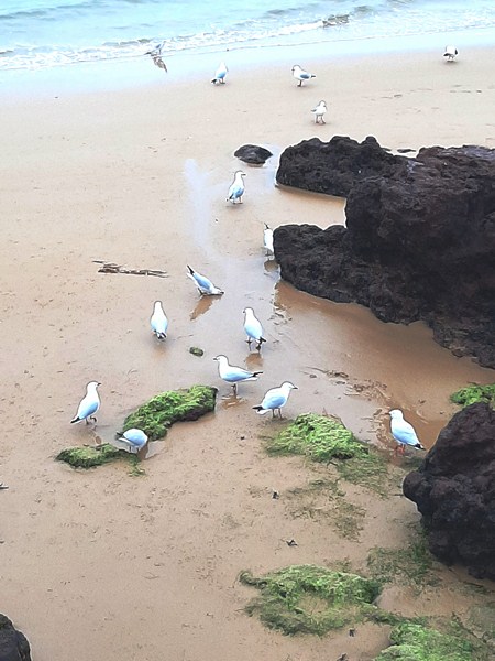
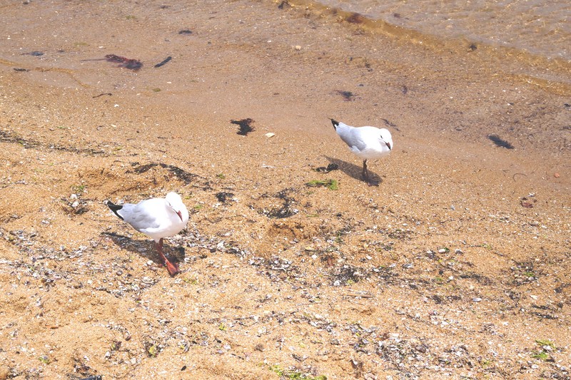
A pair of seagulls frolicking along the beach

Other designs include a boxing kangaroos (Australia’s unofficial sporting mascot), a space invader, a Katsushika Hokusai-inspired blue-and-white wave box and another with a Volkswagen van declaring that “Life’s a Beach.”  An eye-popping contrast to the turquoise waters of the ocean, you’ll have to walk the entire length of the beach to see each of them.

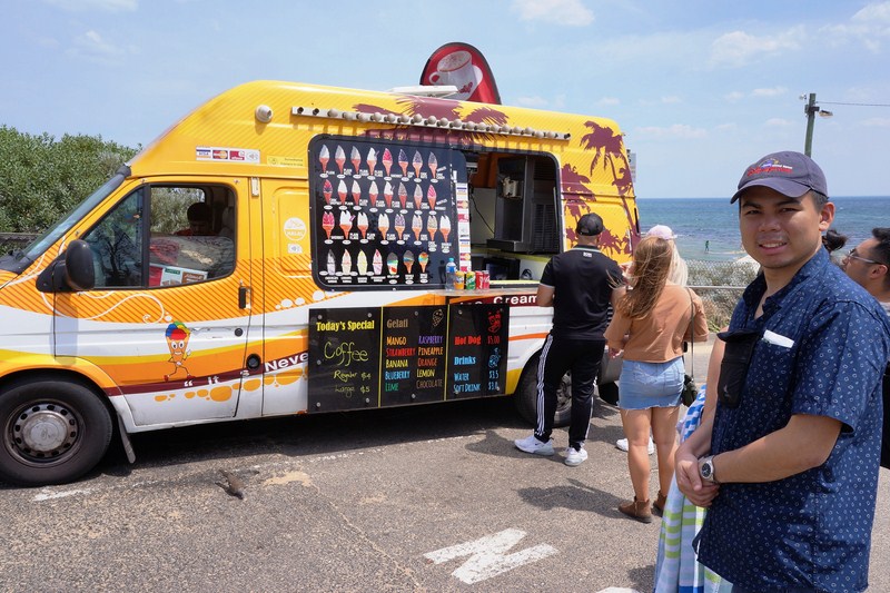
Jandy queuing for ice cream (AUD7) at an ice cream truck

Brighton Bathing Boxes: Esplanade, Middle Brighton (between Wellington Street and Dendy Street). 

How to Get There: the easiest way to get to get there is to take a train from the Flinders Street Station, on the Sandringham Line, to Middle Brighton. Though it doesn’t stop at the beach, it is closer to the Brighton Bathing Boxes than the Brighton Beach station (unless you fancy a longer, 1.3-km. walk along the beach). From the station, it’s about a 1.2-km./15-min. walk to the beach.  To guide your way, there are shops along the way as well as blue plaques with the beach boxes on them. If you’re travelling by car, you can park close to the beach. If you are getting there by bus, take the 216 or the 219 bus from Melbourne’s Central Business District.


Balesin Island Club – Mykonos Village (Polillo, Quezon)

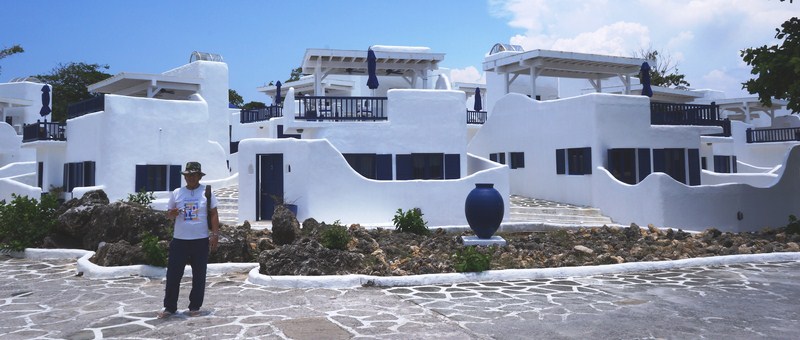
The author at Mykonos Village

On our third day in Balesin Island, Jandy and I decided to tour the island on our own.  Our first stop was Mykonos Village.

Check out “Balesin Island Club“

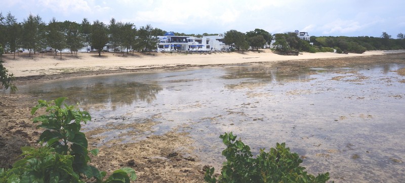
Mykonos Village beach

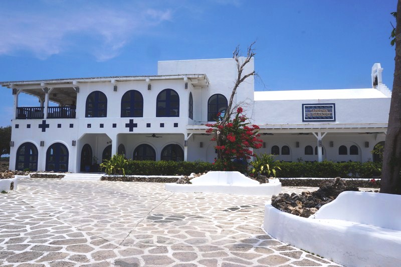
With its whitewashed walls, blue windows and doors, and winding cobblestone roads, it is an authentic recreation of the world-famous Greek isle, where we were dropped off at the Cove Deck at Mykonos.

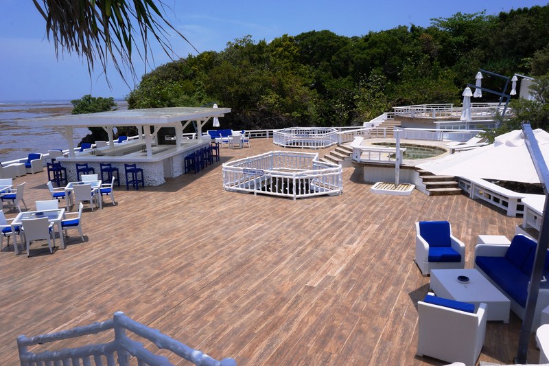
Cove Deck at Mykonos

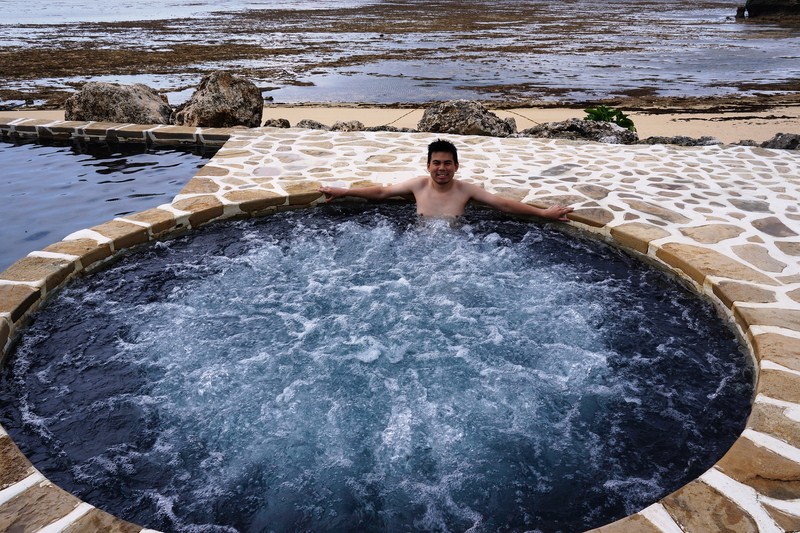
Built within a private cove, it sees regular use as a party spot or venue for large gatherings and is a great place to enjoy the cool sea breeze with a drink in hand.  Its four outdoor jacuzzis, all facing the Pacific Ocean, are popular both day and night.

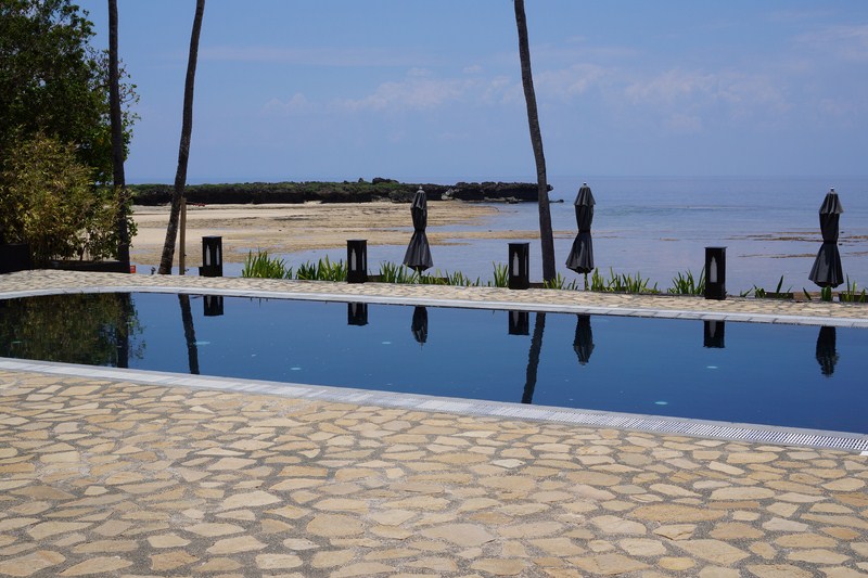
Swimming pool

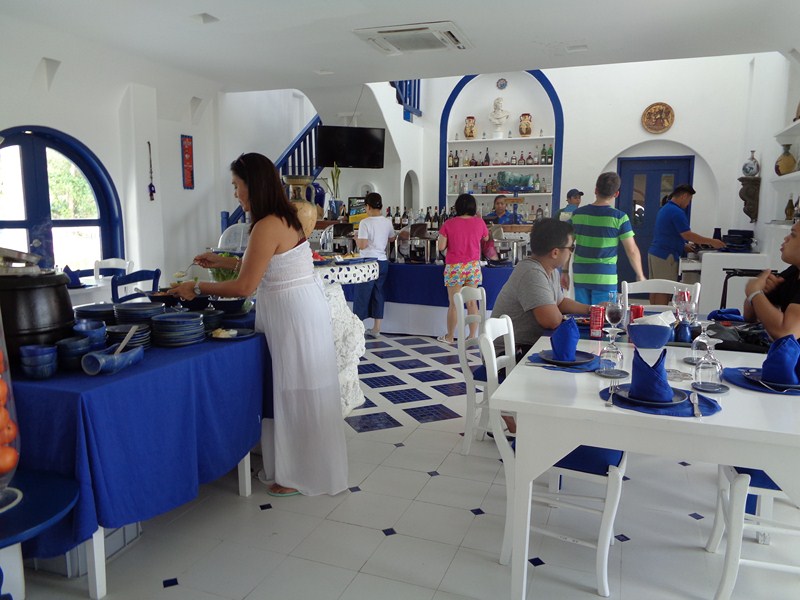
Adjacent to the the Cove Deck is Thanassis Taverna, the centerpiece of Mykonos Village. Named after Chef Thanassis Koumpiadis, it has several indoor dining options (including an upstairs private dining room) and a lounge area and  in a comfortable and colorful setting.  For al fresco dining, there’s a roof deck with outdoor seating.

Thanassis Taverna

It serves gyros, moussaka (made with minced beef, eggplant, and smothered with a rich béchamel that runs through its crevices), grilled lamb ribs, souvlaki, hummus, tzatziki, Greek salad (uniquely thread through skewers), a traditional tarhanas soup (not readily found on many menus outside of Greece), the simple, yet delicious meze and a delectable pine nut salad, served with warm and seasoned pita bread made on the premises, plus signature cocktail concoctions served with splashes of ouzo, a popular Greek aperitif.

Indoor dining area

For a large group, a succulent roast leg of lamb and vegetables can be ordered ahead. For desserts, there’s the award-winning, de rigueur, light and airy Thanasis chocolate mousse.

The Greek-style Mykonos Beach Villas

On the adjacent stretch of beachfront are the 32 spacious, Greek-style Mykonos Beach Villas, ideal for families and large groups who want to stay together.

Spread out over six different buildings, each building is aptly named for the gods and goddesses of Greek mythology – Apollo, Artemis, Athena, Poseidon, Dionysios, and Hermes.  Instead of an outdoor porch, each Mykonos villa has a rooftop that comes with a large lounge area and whirlpool tub.

Poseidon – the main clubhouse

We then walked the short distance to Poseidon, the main clubhouse area of the Beach Villas.  Here, we tried out its centerpiece – the infinity swimming pool with its unique indoor/outdoor configuration.

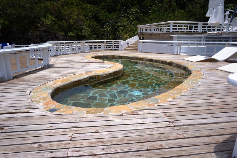
The infinity swimming pool and jacuzzi

At the second floor is an impressive wrap-around veranda offering views of the majestic Pacific Ocean.

Jandy trying out the jacuzzi


Balesin Island Club: Brgy. Balesin, Polillo 4339, Quezon.

Metro Manila Corporate Office: Alphaland Corporation, Alphaland Makati Place, 7232 Ayala Ave. Extn., 1209 Makati City, Metro Manila.  Tel: +63.2.5337.2031 and +63.2.5337.2055 loc 271 to 274 (Reservations). Fax: +63.2.5338.1231,  E-mail: info@alphaland.com.ph.  Website: www.balesin.com.

Suguicay Island (Bulalacao, Oriental Mindoro)

Suguicay Island.  On the left and right side of the island, between mangroves, are white sand beaches

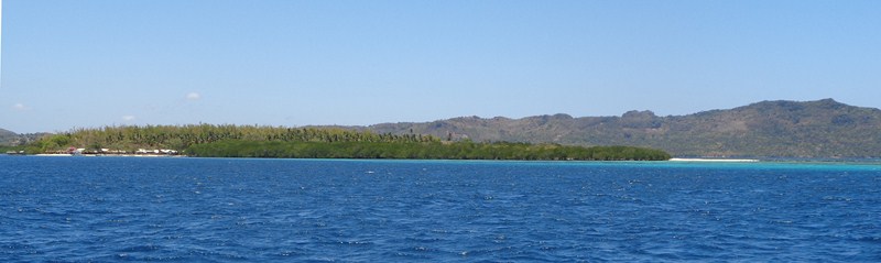
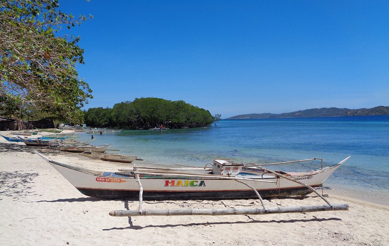
The last island we visited during our memorable island hopping tour was the oblong-shaped Suguicay Island, the most popular island in Bulalacao Bay.  The boat trip from Target to Suguicay Island was rather long and rough.

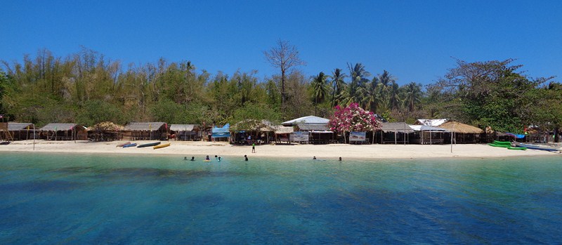
Cottages, picnic huts and stores lining the white sand beach

Running throughout the whole length of the island, including both at the southern and northern ends (where there is a small village) of the 500 m. long white sand beach, are clumps of healthy mangrove trees. With its different hues of aquamarine, turquoise and deep blue, the waters here are even more colorful than at Aslom Island and have abundant coral and marine life.

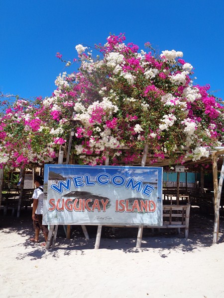
A Soguicay welcome

As approached the island, we espied rows of native huts (PhP300) and parked fishing boats along its white sand beach. A number of people were frolicking on the beach while offshore were a few huts on floating bamboo rafts (PhP500) that somehow adds to the character of the whole place.

The white sand beach

Between the white sand beach and the clump of mangrove trees was a narrow body of water that snaked inland. At the end of the island is a sandbar plus another 500 m. long white sand beach.

A floating picnic shed

This was the commercialized island we visited in Bulalacao and, telling from the number of visitors, it’s a go-to beach resort. Aside from the open cottages (some with videoke machines), this family-managed beach resort also has sari-sari stores selling snacks, liquor, bottled water, etc..

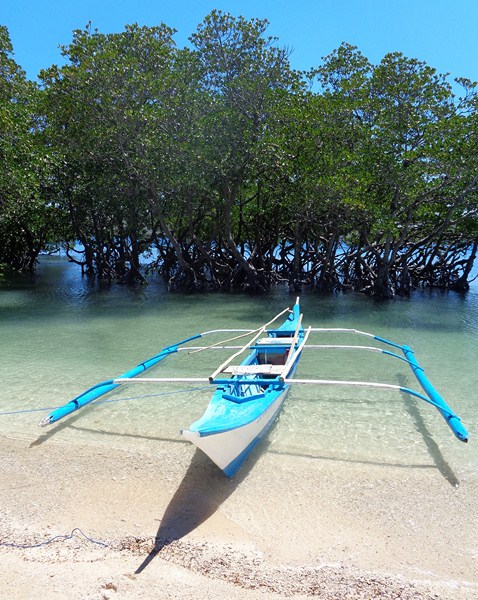
A clump of mangroves

A beach volleyball net was also set up in the middle. Here, we had lunch at one of the picnic cottages. Kayaks could also be rented here and unlike Aslom and Target Islands, rooms (PhP300 – 500) for overnight stays are available. Camping (PhP150) is also allowed.

After lunch and some time for exploration, it was now time to make our way back to the mainland.

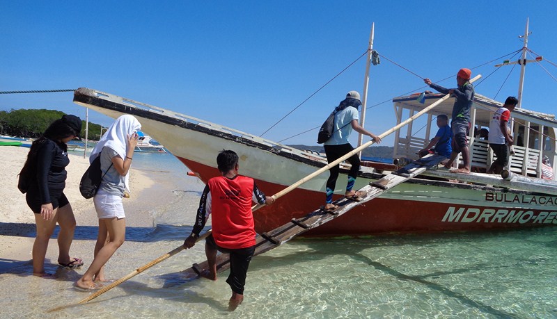
Boarding our boat for the trip back to the mainland

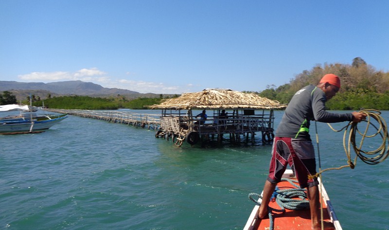
After a 30-min. boat ride, we docked at a 300 m. long wood and bamboo pier jutting out from the mangrove beach of Bangkal, a sitio in Brgy. San Juan, just to the northeast of the town center of Bulalacao.

Getting ready to dock at the wood and bamboo pier at Sitio Bangkal

The wooden pier is actually the jump-off point for boats going to Suguicay Island, the first of the two northern islands in town.

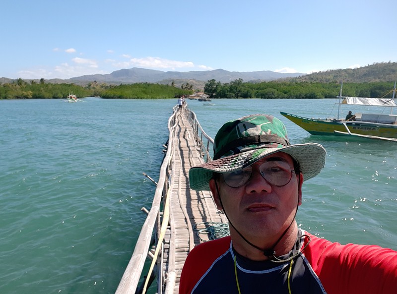
The author

Soguicay Island: Brgy. San Juan, Bulalacao, Oriental Mindoro.

Provincial Tourism and Cultural Affairs Office: Provincial Capitol Complex, Calapan City 5200.  Tel: (043) 286-7046 and (043) 441-0306. Website: www.ormindoro.gov.ph.

Target Island (Bulalacao, Oriental Mindoro)

One of the white sand beaches of Alibatan Island (Target Island)

From Aslom Island, the privately owned Alibatan Island, frequently referred to as Target Island, was to be our next destination. Since this island was located way out in the open sea, the waves we encountered going there were really rough. Before making landfall on the island, we went around it to admire its scenic coastline.We landed at a beautiful cove on the southern part of the island.

The beautiful cove at the southern part of the island

Located southeast of Bulalacao and approximately 3 kms northeast of Sitio Bacungan, Brgy. Milagrosa, Alibatan was also called Target Island because, in 1946, Americans staying in San Jose, Occidental Mindoro used the island for aerial bombing practice. Exploring the island, you’d see bomb sites and jagged rocks broken into pieces.

This approximately 5-hectare, stingray-shaped island, noted for its white sand beaches, has a mountainous southern part (a seemingly weather-beaten resthouse, reached by concrete steps, is located on the highest point), with big rocks present throughout.

The rundown resthouse at the top of a limestone outcrop

A concrete pathway follows the coastline of the island, looping around its limestone cliffs, and towards an approximately half hectare lake at the center of the island.

The concrete pathway that goes around the island

Said to be a result of the American bombing, the lake teems with mangroves and serves as a breeding and hatching area for seagulls and sea turtles.

The lake at the center of the island

From atop its limestone cliffs, you’d see panoramic views of the lake, the island itself and its beaches. The waters around the area abound with the different species of fish, corals and oysters. Because of its proximity to the channel going to San Jose, Occidental Mindoro, whales can also be sighted here.

Fascinating head-like rock formation

Target Island: Brgy. Milagrosa, Bulalacao, Oriental Mindoro.  Open 6 AM – 6PM. Admission is free. Visitors are not allowed to stay overnight on the island.

Provincial Tourism and Cultural Affairs Office: Provincial Capitol Complex, Calapan City 5200.  Tel: (043) 286-7046 and (043) 441-0306. Website: www.ormindoro.gov.ph.

Aslom Island (Bulalacao, Oriental Mindoro)

Aslom Island

A 45-min. motorized outrigger boat ride, from Bulalacao Fish Port, brough us to the 12-hectare Aslom Island, the first of three (the others are Target Island and Soguicay Island) islands we were to visit in our day-long island hopping tour. While the island is privately owned (said to owned by a member of the Lhuillier family from Cebu), tourists can visit the place for free but staying overnight is not allowed.

Making landfall at the sandbar at the northern end of the island

One of the major destinations of any island hopping activity in Bulalacao, the island’s name is derived from the Cebuano word aslom, meaning “sour,” because of the abundance of tamarind (sampaloc) trees bearing the sour fruit.   Half of the island is planted with coconut trees.  A good place for ships to anchor during storms, the island is located about 1.5 kms. south of Brgy. Milagrosa.

Frolicking at the sandbar

This private island has three white sand beaches with coarse to corally white sand and all interconnected through roads inland.   It would probably take 1-2 hours to explore the island. At the southeastern part of the island is a big cave.

The author on Aslom Island

The first two other beaches stretch about 200 meters and 800 meters respectively.  We made landfall, during high tide, at its beautiful, crescent-shaped white sandbar that stretches for about 500 meters at the northern end of the island.

At the southern end of the sandbar is a nearly finished resthouse and a tennis court. The island has no other establishments or restaurants. Caretakers were the only people around.

The curving sandbar forms a small lagoon 2-3 m. from the shore with a sudden drop off, with very clear waters, clumps of big soft corals and schools of small fishes, making it an ideal area for snorkeling. At the shore, local fishermen catch crablets by digging deep inside the small holes made by the small crabs in the sand. These crablets are cooked in coconut milk.

Aslom Island: Brgy. Milagrosa, Bulalacao, Oriental Mindoro. Visiting hours: 6 AM – 6PM.

Provincial Tourism and Cultural Affairs Office: Provincial Capitol Complex, Calapan City 5200.  Tel: (043) 286-7046 and (043) 441-0306. Website: www.ormindoro.gov.ph.

Sisiman Lighhouse and San Miguel Peak (Mariveles, Bataan)

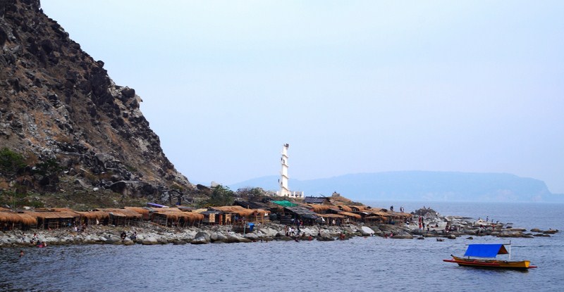
Sisiman Beach with rows of cottages along its coast. On the left is the foot of San Miguel Peak while at center is Sisiman Lighthouse

It was now our second day in Bataan and, come late afternoon at The Oriental Bataan, Maricar, Norman, Jandy and I embarked on our first outdoor adventure as we boarded my Toyota Revo for the 20 min. (4.6 km) drive, via the Baseco-Sisiman Highway/Mariveles Diversion Rd., to Sisiman Beach along picturesque Sisiman Bay.

Check out “Hotel and Inn Review: The Oriental Bataan“

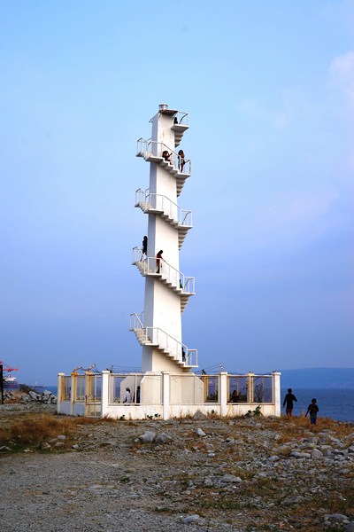
Sisiman Lighthouse

Upon arrival, we parked the Revo beside the roofless shell of a building and then walked down for about 20 mins.along a rocky trail that lead to the new functioning fenced lighthouse.

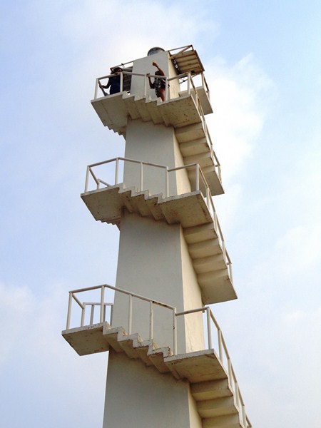
The flight of stairs leading up to the top of the lighthouse

This is a relatively new lighthouse as the old, original lighthouse on the site was destroyed by 194 km/hr. (121 mph) winds of Typhoon Pedring (International name: Nesat) which struck Luzon last September 27, 2011.
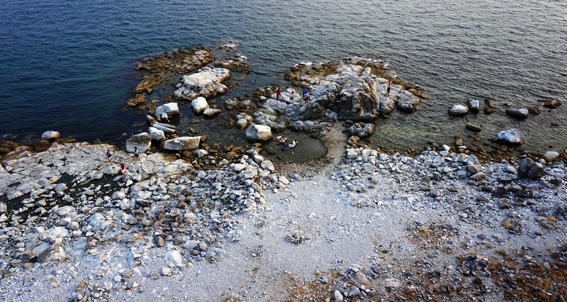
Rocky and pebbly Sisiman Beach as seen from the top of the lighthouse

At the southernmost tip, the area is filled with cliffs which provide you an overlooking view of the ocean.
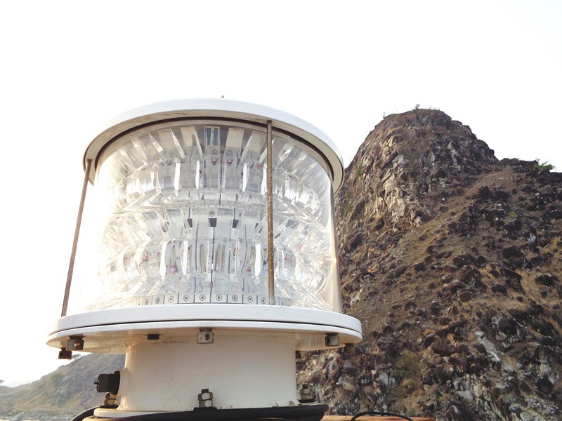
The lens of Sisiman Lighthouse. In the background is the summit of San Miguel Peak
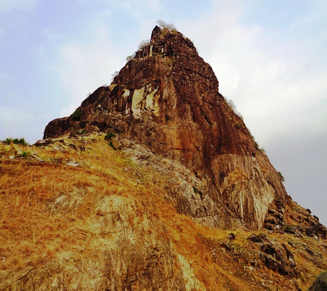
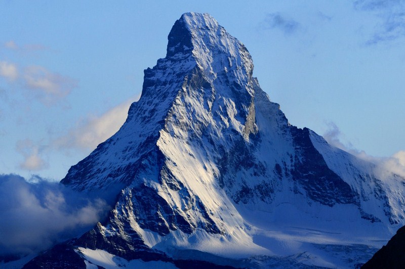
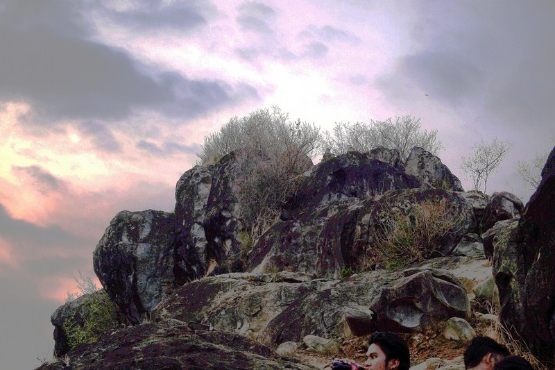
The lighthouse was a picture-perfect spot, with the beautiful, 213 m. (700 ft.) high, San Miguel Peak, a seafront rock mountain  noted for its rock formations, at its rear and the pebbly and rocky Sisiman Beach at its front. The mountain’s profile reminded me of the famous Matterhorn of Switzerland.

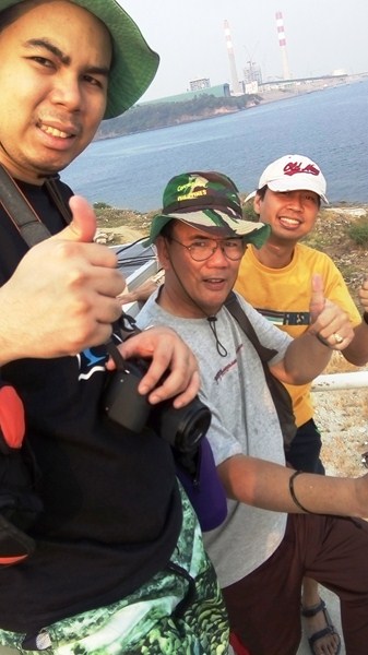
Jandy, the author and Norman at the top of the lighthouse.  In the background is the Aboitiz Power Plant

As the lighthouse gate was open, we made our way up the narrow cantilevered concrete steps to the top of the lighthouse and its lens.

San Miguel Peak – I’ll dub this as the “Matterhorn” of the Philippines”

The actual Matterhorn (photo: Wikipedia, www.Camptocamp.org)

Lighting for the lens seems to partially or fully provided by solar panels attached nearby. Here, we had a good view of Sisiman Beach below and San Miguel Peak behind us.

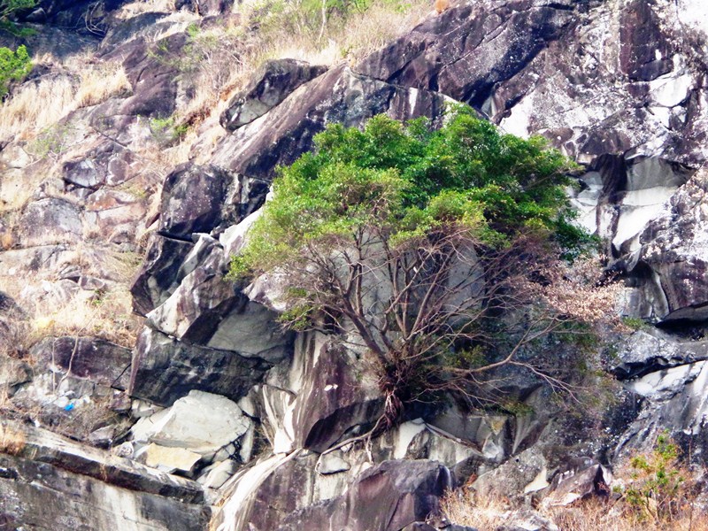
A lone tree precariously clinging to rocks along the side of the mountain

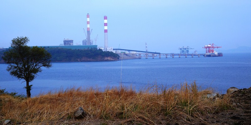
We next made our way along the trail that leads up San Miguel Peak. Along the way we could see, from the distance, the Aboitiz Power Plant.

The Aboitiz Power Plant

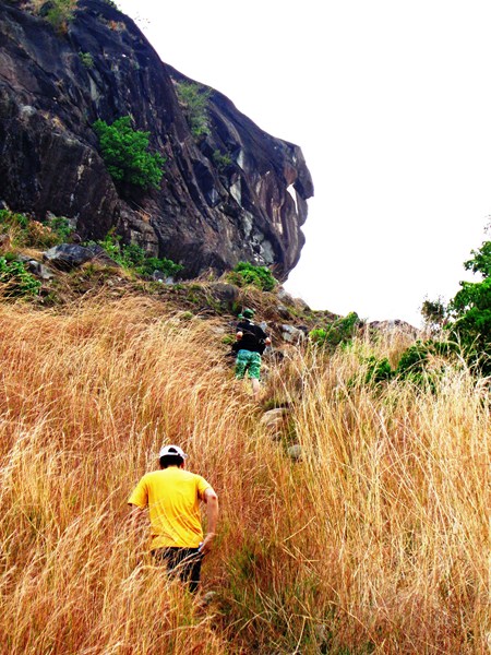
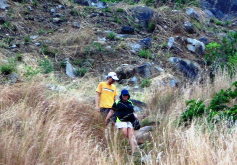
With my osteoarthristis, I decided against climbing the peak but I allowed Jandy to join Maricar and Norman, both seasoned mountaineers, as they made the 20 to 30-min. hike, past knee-high cogon (spear) grass,  to the summit.

Norman and Jandy make their way up the mountain

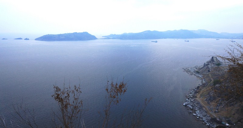
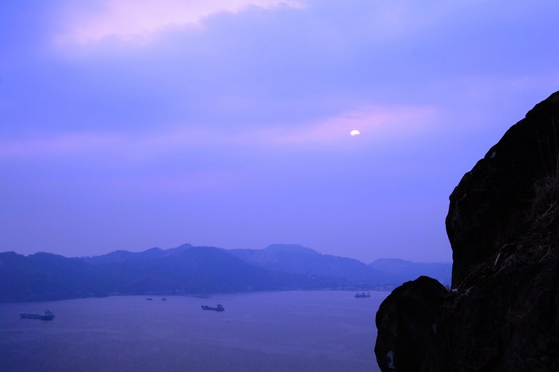
At the summit, they had a more breathtaking view of Bataan, Corregidor Island, La Monja Island and Gordo’s Peak as well as a view of a breathtaking sunset.

View of Corregidor and La Monja Islands halfway up the peak

San Miguel Peak, a favorite for climbing and rappelling, is frequently visited by mountain climbers from Metro Manila and other areas in Luzon.

Beginners start rappelling at a height of 130 m., but veteran climbers rappel from the peak. No admission fee is collected but mountain climbers, for a minimal fee, can make use of local guides and instructors.

Norman and Maricar making their way down the mountain

Along the public beach are many huts available for rent from PHP150 without videoke, to PHP500 to PHP1,000 with free use of videoke.

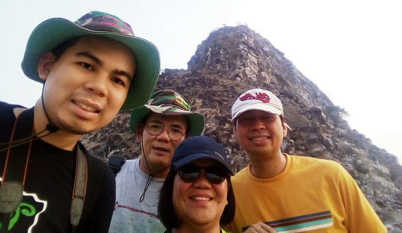
Jandy, the author, Maricar and Norman with San Miguel Peak in the background

Dusk at Sisiman Beach

Sisiman Beach and Lighthouse: Sisiman-Agwawan Beach Rd, Brgy. Sisiman, Mariveles 2105, Bataan.  Admission is free.