The Coral Garden and Underwater Cave of Puerto Galera (Mindoro Oriental)

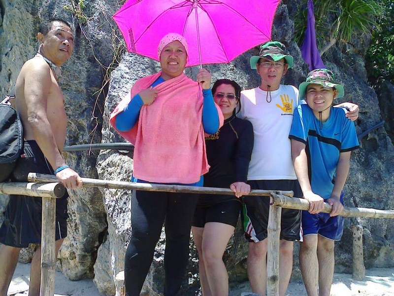
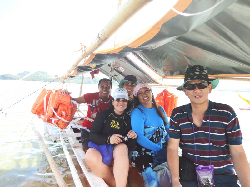
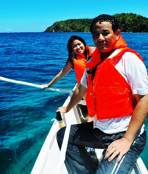
A number of us availed of a package tour to San Antonio Island consisting  of a visit to an underwater cave and snorkeling the spots around the Coral Garden, the  premier snorkeling area of Puerto Galera, looking for a meter long giant clam underneath —all for PhP300. Our outrigger boat was small carrying, aside from the boatman, just me and Sheena as big boats cannot go near the shallow area of the Coral Garden.  Though I dabbed lots of sunblock on my skin, I forgot to bring a hat and my sunglasses, sorely needed as the sun was way up in the sky..

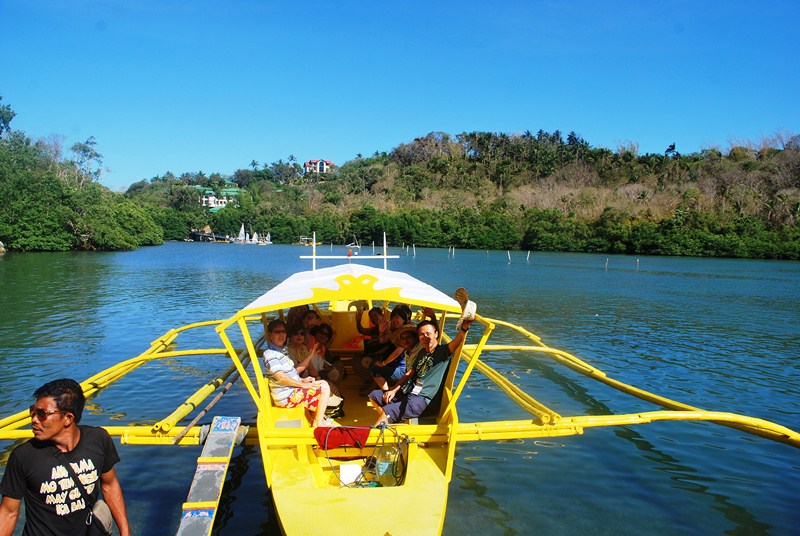
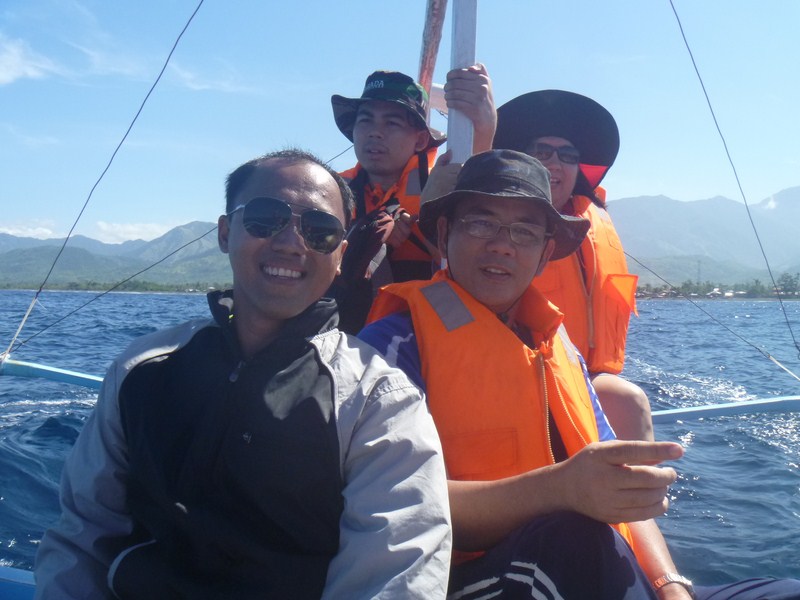
On our way to the Coral Garden

On our way to the Coral Garden

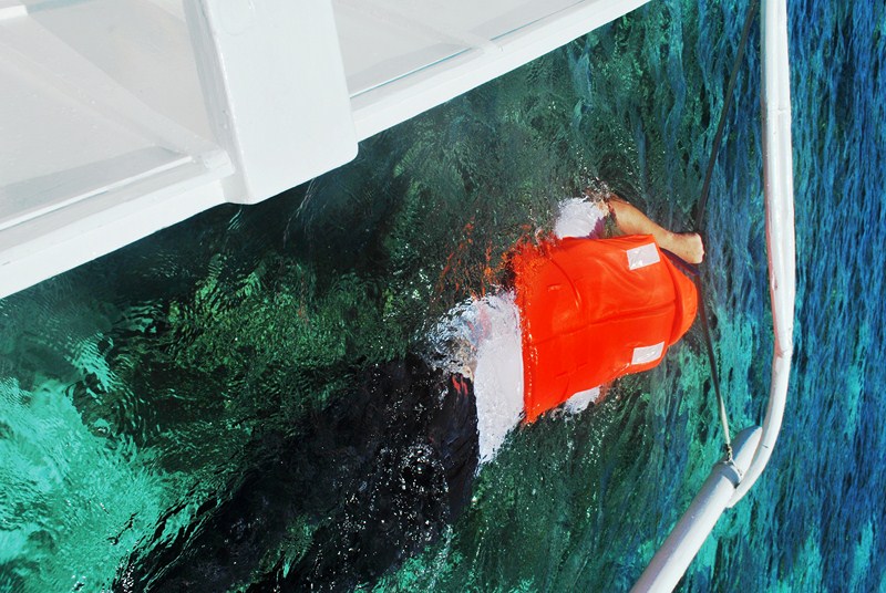
Our boat made landfall at another resort to pick up our snorkels then proceeded to the Coral Gardens.  Here, we donned our snorkels, dropped into the water and clung on to a nylon cord, between the boat and the outrigger, as the boat slowly dragged us along as we snorkeled. At some parts, the water was so shallow the corals almost touched my belly.  Tourists here are encouraged to bring bread to feed the fishes.

Snorkelling alongside the moving boat

Snorkelling alongside the moving boat

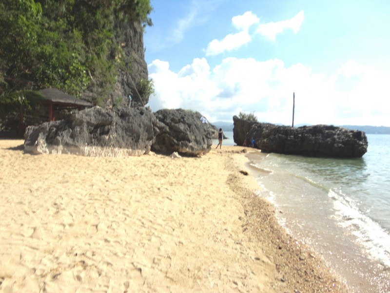
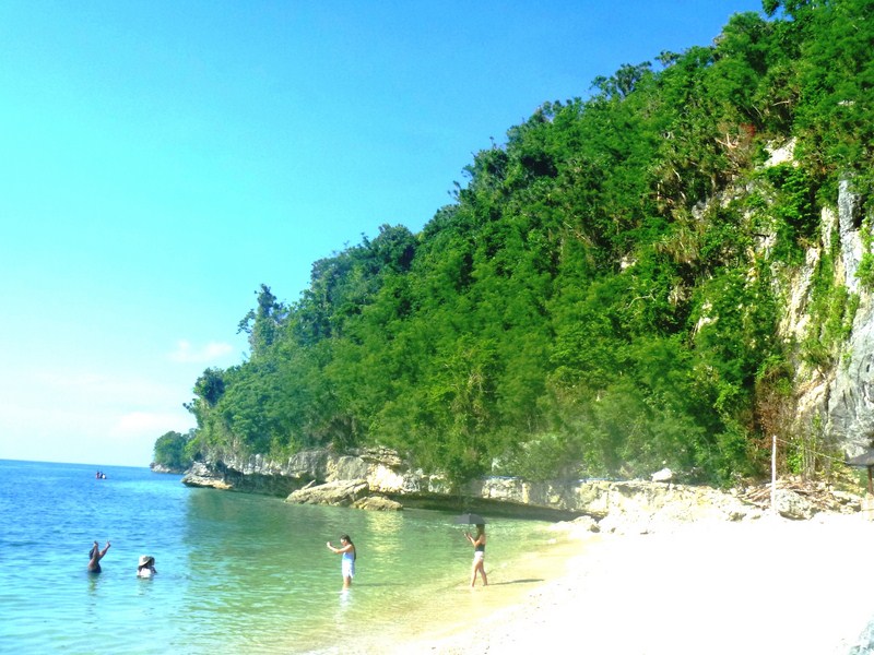
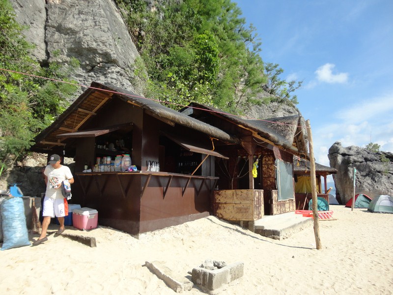
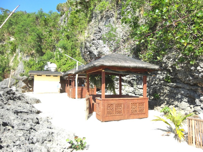
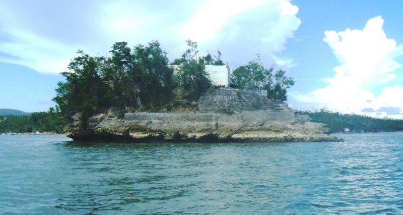
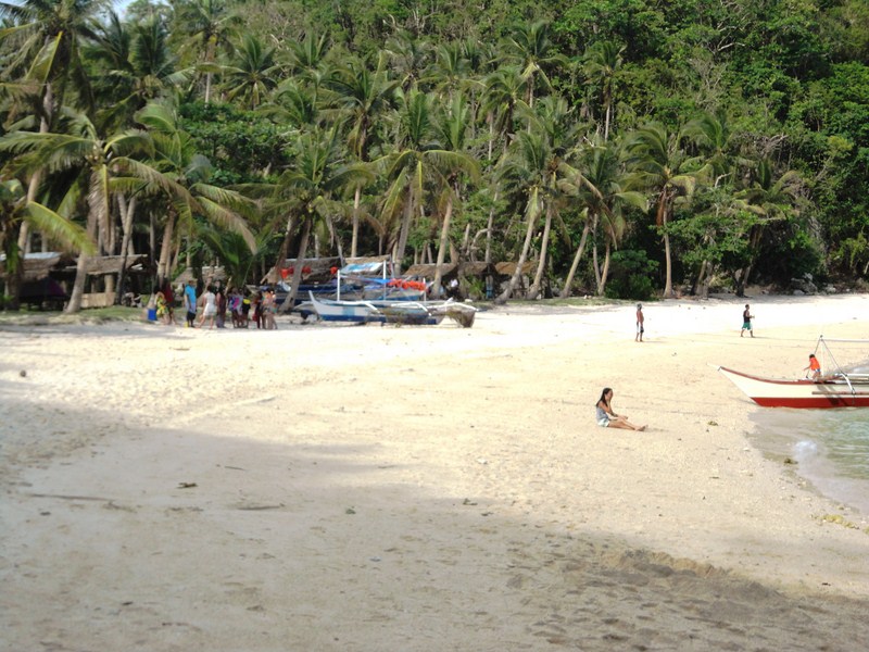
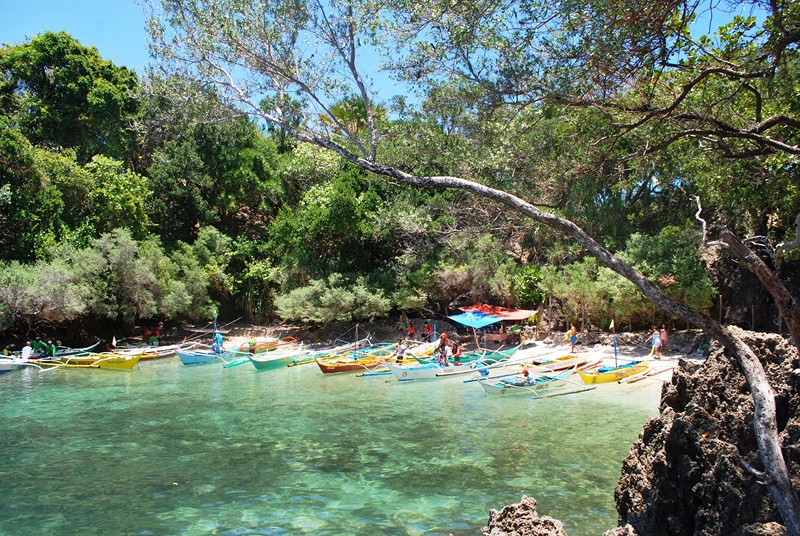
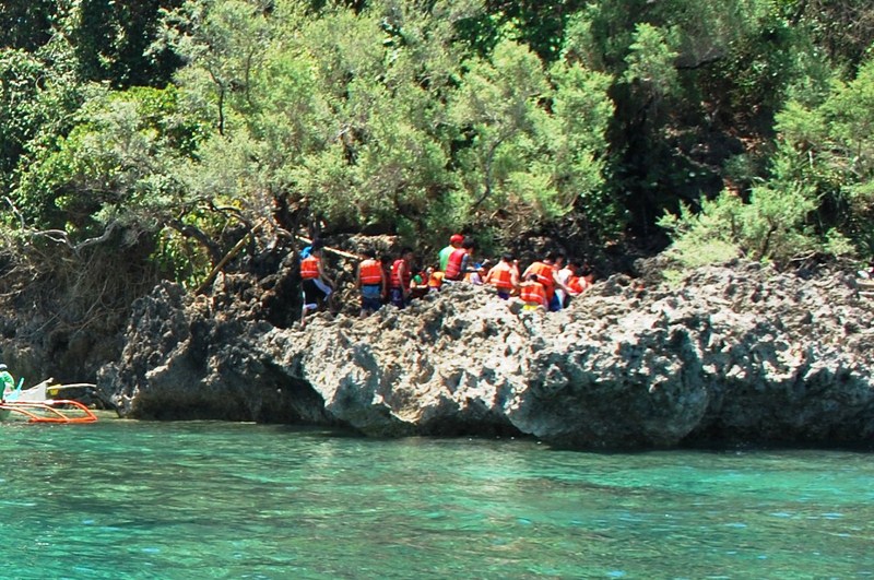
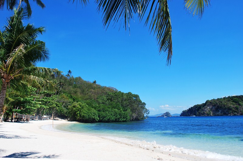
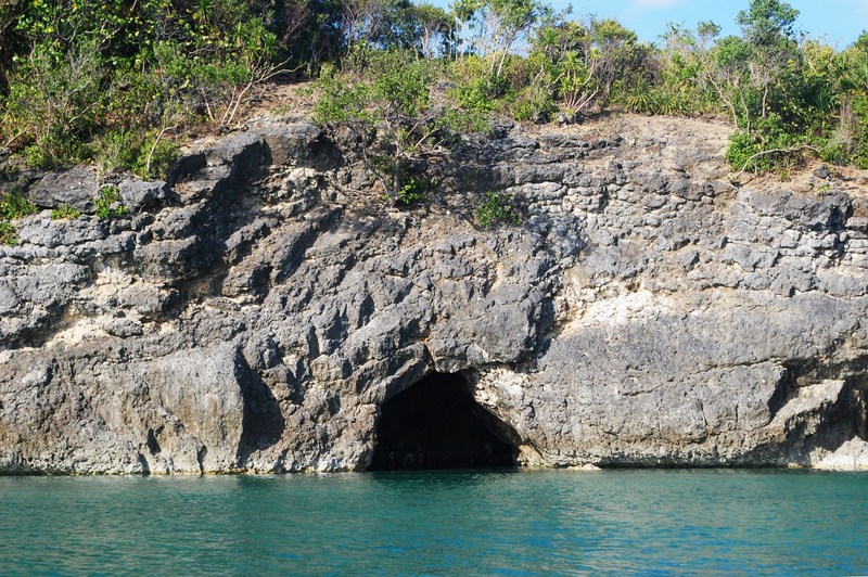
The underwater cave, our next destination, was just a 10-min. boat ride from Coral Garden.  It was located on one corner of a small coral rock formation beside a small white sand beach called Munting Buhangin.  There were a lot of boats parked along the beach and we could also see a long queue of tourists lining up to enter the cave. As such there were stalls, manned by locals, selling refreshing halo-halo (PhP25). Not waiting to see our boat parked, Sheena and I alighted from the boat and made our way to the rock formation.

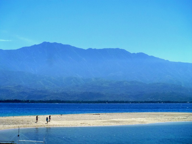
The narrow white sand beach

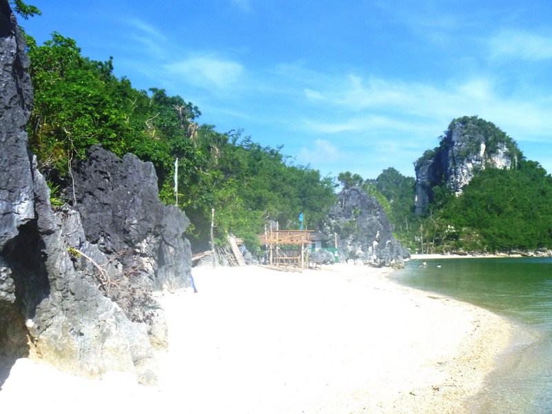
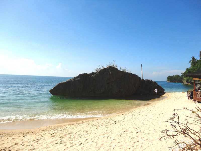
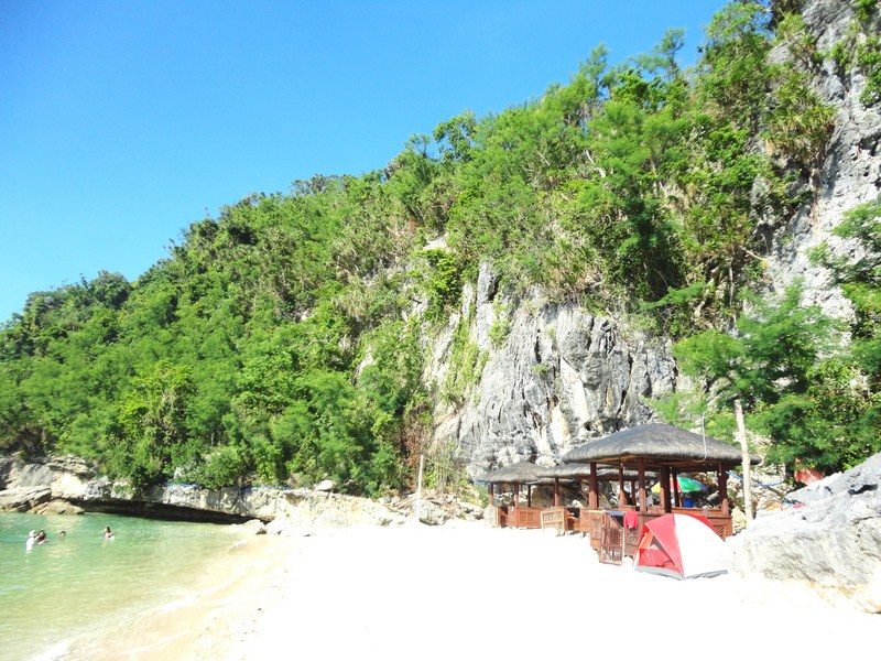
The narrow white sand Munting Buhangin Beach

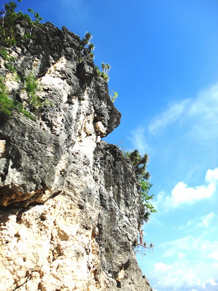
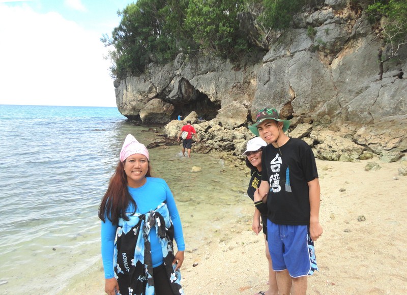
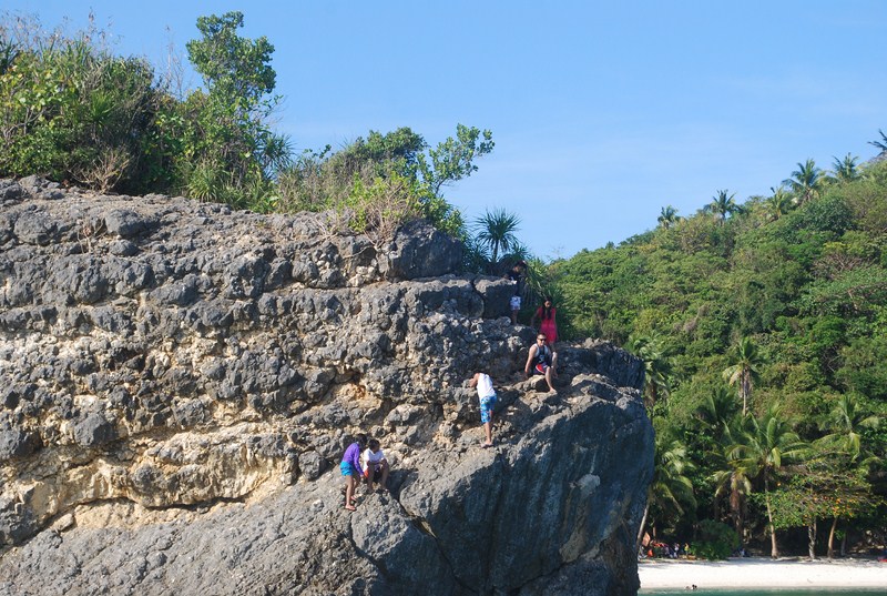
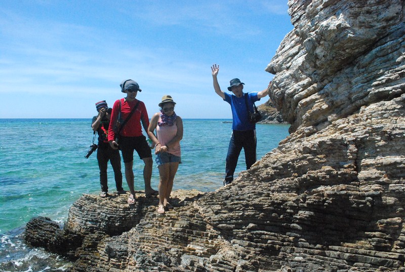
Getting up the rock formation was difficult as we had to carefully find our footing as the rocks were quite sharp and jagged. Its a good thing I brought along thick slippers.  The top of the formation has a panoramic view of the beach, the emerald green water of the sea and various rock formations nearby.The entrance of the cave had a bamboo stairs where we could climb down.

The queue up the rock formation

The queue up the rock formation

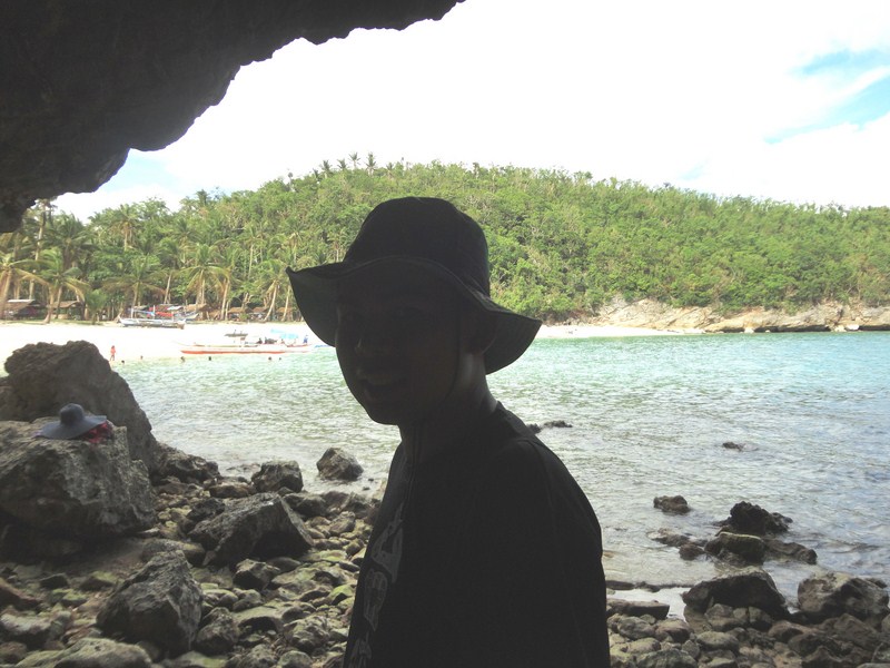
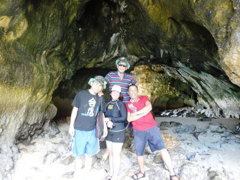
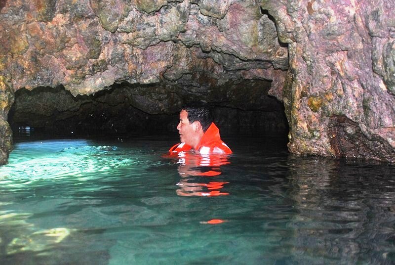
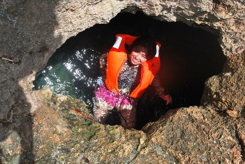
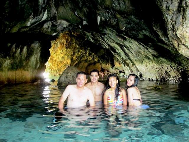
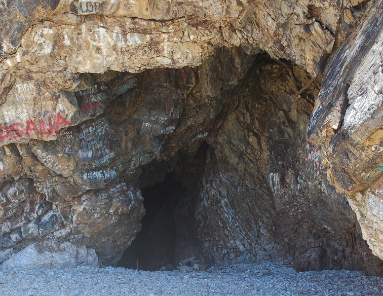
The underwater cave was not totally drenched in darkness, thanks to some rays of the sun beaming through a natural skylight.  The water inside was now deep, it being high tide when we arrived, but it wasn’t so cold.  High tide also prevented us from seeing the cave’s opening to the sea. Sheena and I alternately took each other’s picture inside the cave and through the skylight as we weren’t able to bring our boatman with us to take our pictures.

The author inside the underwater cave

The author inside the underwater cave

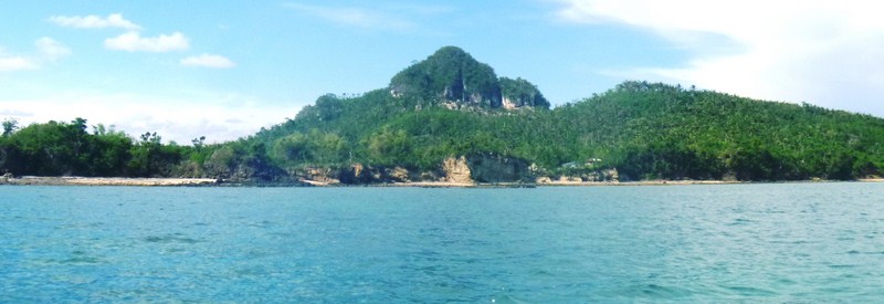
Back at our boat, we continued on towards the Coral Garden where we could find the giant clam. The place was almost in the middle of the bay. We again donned our snorkels and dove in. The Coral Garden obviously was littered with colorful corals plus different variety of fishes. However, even if I kept my eyes opened and peeled I still couldn’t find the giant clam.

Sheena underneath the cave's skylight

Sheena underneath the cave’s skylight

Automobile Association Philippines (AAP): 28 EDSA, Greenhills, San Juan City.  Tel: (632) 655-5889.  Fax: (632) 655-1878.  E-mail: info@aap.org.ph. Website: www.aap.org.ph.
AAP Travel: G/F, Sea Tower Bldg., 2332 Roxas Blvd. cor. Arnaiz Ave., Pasay City. Tel: (632) 551-0025.  Fax: (632) 551-0014. E-mail: info@aaptravel.com.  Website:www.aaptravel.com.ph.
Provincial Tourism Office: Provincial Capitol, Calapan City, Mindoro Oriental.  Tel: (043) 286-7046 and (043) 441-0306.

Boquete Island (Puerto Galera, Mindoro Oriental)

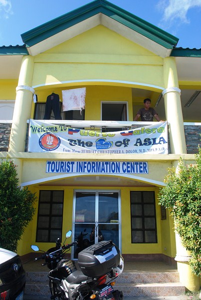
Of course, any visit to to Puerto Galera is never complete without trying out some of the town’s 13 superb beaches and a number of its offshore islands.  Come morning of the last caravan day, after breakfast at Marivelles Restaurant at the top floor of Marco Vincent Dive Resort, we were driven to the town’s seaside tourism information office.

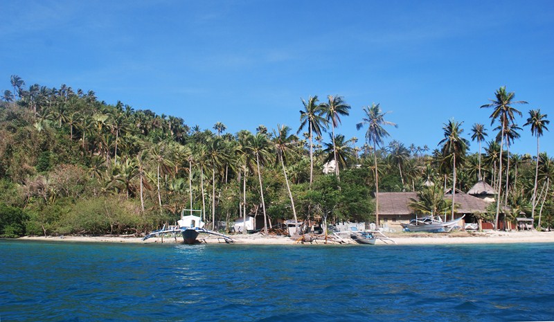
Boquete Island

Boquete Island

Here, big outrigger boats were docked to take us to the small yet charming and beautiful Boquete Island (also called Paniquian Island), one of the islands that dot Muelle Bay.  Technically, it is a peninsula as it is connected to the mainland by a 50 m. long, scenic white sand sandbar, but it does become an island during high tide. Elizabeth’s Hideaway Resort & Restaurant, formerly Sandbar Boquete Beach Club, is located nearby.

Puerto Galera Tourist Information Center

Puerto Galera Tourist Information Center

Windsurfing is done off the sandbar which is perfect for speed trials as its sheltered waters are generally flat.  Wind speeds here can reach 20 knots at times although, generally, the wind speeds are consistent during the daytime at between 10 and 15 knots..  The sandbar is a regular venue for the second leg of the Philippine National Windsurfing Championship circuit.

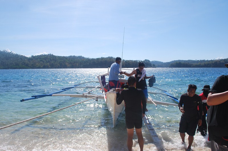
Boarding our boat

Boarding our boat

Ms. Susan E. Cruz (Tourism Operations Assistant) and Ms. Sienna May R. Manongsong, both of the Oriental Mindoro Provincial Tourism Office joined us.  The boat trip took a little over 30 mins. and we made landfall at the white sand beach fronting the unfinished Friday Boquete Resort.  Here, we were to have lunch at one of its picnic sheds.

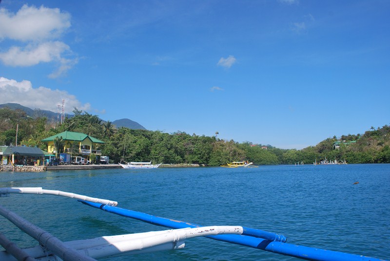
On our way

On our way

The beach is nice and secluded, with clear blue waters, and is away from the maddening crowd and the loud sounds of bars, restaurants and party places of White Beach.  However, sea urchins are present a short distance from the shore.  East of the island are the waters of Muelle Bay while to the west is Balatero Cove.

A resort we passed during our trip

A resort we passed during our trip

This 3.8 hectare property, located on a powdery white & pink sand beach inside the lagoons of UNESCO-protected Muelle Bay, is a sister resort of the 5-star Friday’s Boracay Beach Resort in Aklan and both are owned by the publicly listed Boulevard Holdings, Inc. (BHI).

Making landfall at Boquete Island

Making landfall at Boquete Island

When operational, it would have 62 luxurious native cottage styled rooms, a restaurant (that can be converted into an events are), beach grill, lobby lounge and bar, a huge outdoor ,free flow swimming pool and deck, art/shop boutique; dive training pool; full-scale dive shop, a spa treatment pavilion, and gymnasium.

Fridays Boquete Beach Resort

Fridays Boquete Beach Resort

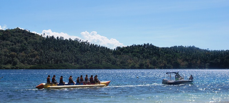
As lunch was still hours away, we still had time to do banana boating (PhP350/pax) or avail of a package tour to San Antonio Island consisting  of a visit to an underwater cave and snorkeling the spots around the Coral Garden, looking for a meter long giant clam underneath —all for PhP300.

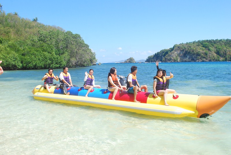
Banana boat ride

Banana boat ride

Of those who availed of the banana boating, half opted for its milder form (no overturning) while  Eva, Cel, Mike, Sheena, Gabby and yours truly went extreme and were rewarded with three dunkings, the last one when we were returning to shore.

Getting ready for our extreme banana boat ride

Getting ready for our extreme banana boat ride

Automobile Association Philippines (AAP): 28 EDSA, Greenhills, San Juan City.  Tel: (632) 655-5889.  Fax: (632) 655-1878.  E-mail: info@aap.org.ph. Website: www.aap.org.ph.
AAP Travel: G/F, Sea Tower Bldg., 2332 Roxas Blvd. cor. Arnaiz Ave., Pasay City. Tel: (632) 551-0025.  Fax: (632) 551-0014. E-mail: info@aaptravel.com.  Website:www.aaptravel.com.ph.
Provincial Tourism Office: Provincial Capitol, Calapan City, Mindoro Oriental.  Tel: (043) 286-7046 and (043) 441-0306.

The Pagbilao Islands (Pagbilao, Quezon)

It was already midway in the afternoon when we finished our lunch at Cortijo de Palsabangon Farm Park & Restaurant and, according to Lurhen, we had to leave now if we were to catch the boat and avoid the low tide at Pagbilao Wharf (also known as Daungan) in Sitio Kalawit.  Up ahead was the piece de resistance of our Appsline Travel-sponsored Lucena-Pagbilao Media Tour – the Pagbilao Islands.

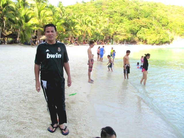
Author at Pagbilao Grande Island

Author at Pagbilao Grande Island

Upon arrival at Daungan, our huge 25-pax outrigger boat was already waiting for us.  Here, we met up with Mr. Celedonio “Dionnie” Dapla, member of the town’s tourism council and former head of the DENR Mangrove Experimental Forest.  We were supposed to visit Dionnie’s forest-farm and nursery in Brgy. Pinagbayanan but, as it was already late in the day to do so, he just saw us safely off.

L-R: The author, Lurhen, Dionnie, Rannie and Mel

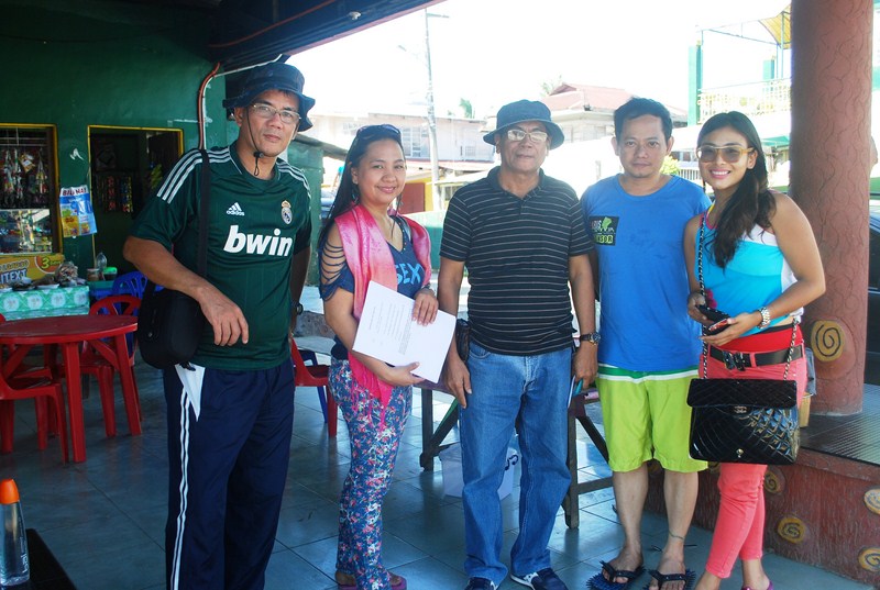
L-R: The author, Lurhen, Dionnie, Rannie and Mel at Daungan

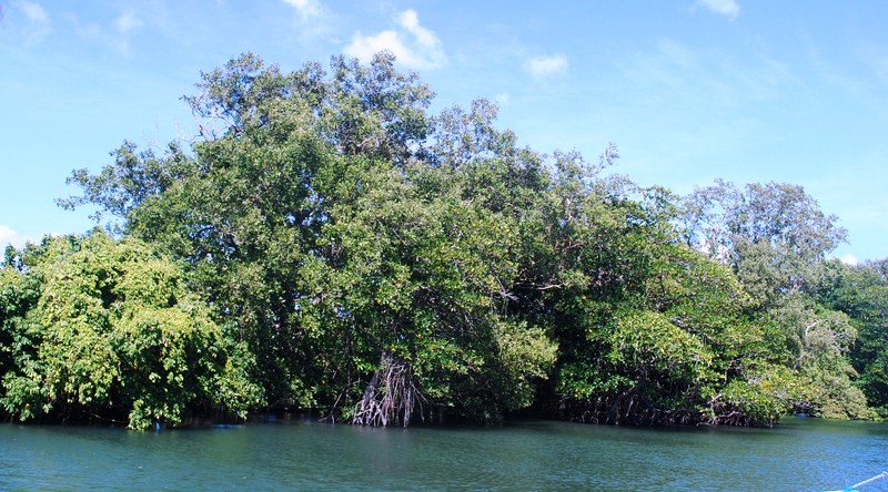
Mel, Maichel, Angela, Lurhen (with her son Marxus), Rannie and I were soon on our way, cruising the river, passing thick patches of mangrove forests along the way before heading out into Pagbilao Bay and the open sea.

Mangrove forests

Mangrove forests

The Pagbilao Islands, also called Pulo Island, are a lovely pair of islands (Pagbilao Grande in the north and Pagbilao Chico in the west)  joined together by a 500 m. long, 200 m. wide (3 m. above sea level at its highest point) sandy isthmus called Tulay Buhangin (meaning “sand bridge”).  The main settlement (also called Tulay Buhangin) is located here.

On our way into the open sea

On our way into the open sea

Though part of Pagbilao town, the islands are more accessible by boat from Padre Burgos.  Bounded by Laguimanok Bay in the north and east and Tayabas Bay in the west, the islands are 100 feet above sea level on a promontory overlooking Padre Burgos town to the east.  This ancient and still developing coral rock formation has numerous coves, caves cliffs and a hilly interior with clumps of giant yuccas and small, emerald forests.  There are also white sand beaches and rich fishing grounds.

Patayan Island (Pagbilao Chico Island)

Patayan Island (Pagbilao Chico Island)

Around 30-40 mins. on our journey we passed Pagbilao Chico Island, also called Patayan Island.  It has a smooth stone beach and a single privately-owned beachhouse that can be rented out.  Its Bansilan Cave has cathedral-like dimensions.

The Team Energy coal-fired thermal power plant

The Team Energy coal-fired thermal power plant

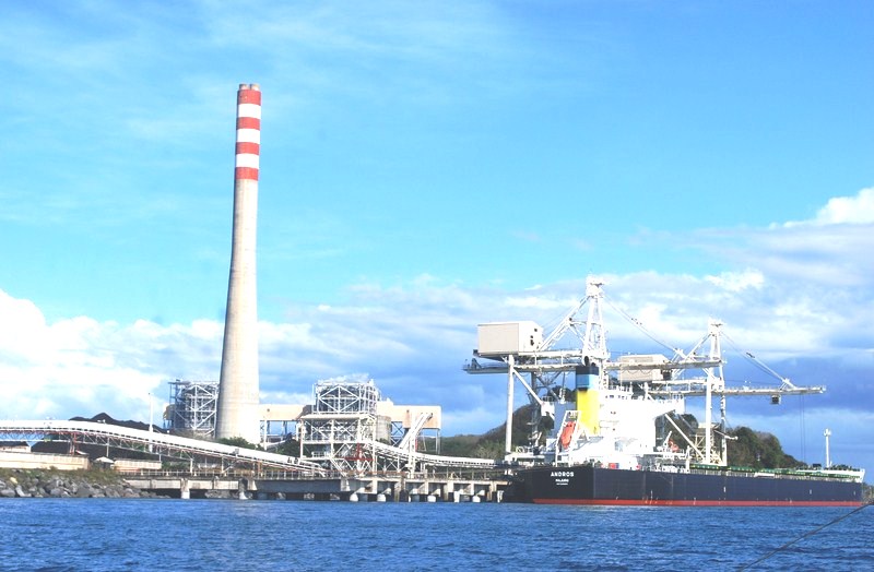
We next espied the tall chimney of 735-MW Team (Tokyo Electrification and Marubeni) Energy coal-fired thermal power plant.  During our visit, a  huge cargo ship was unloading coal at the power plant.  The plant is the landmark for those taking the land route to Puting Buhangin Beach. Turning a corner past the power plant, we were greeted by beautiful rock limestone formations and Kwebang Lampas and, past it, the beautiful cove with white sand Puting Buhangin Beach with its clear emerald waters and coconut trees.

Puting Buhangin Beach

Puting Buhangin Beach

The 70 m.  long and 10 m. wide white sand Puting Buhangin (which literally means “white sand”) Beach, with Kwebang Lampas at one end, is located in Brgy. Ibabang Polo at the southwestern part of Pagbilao Grande Island.

Author at Puting Buhangin Beach

Author at Puting Buhangin Beach

We requested the boatmen to dock and, upon reaching the shore, Rannie and I  made for the beach. This private beach (also called Lukang Beach  after the Lukang family), available to the public on day trip visits (PhP100 entrance fee), was filled with people during our visit.  Some were staying on native picnic huts (rented for PhP300-500); others pitched tents along the beach, while others just availed of the shade of coconut trees.

Visitors making their way to the beach via the power plant and limestone formations

Visitors making their way to the beach via the power plant and the treacherous limestone formations

Other destination, though, was the small, unique cave right at the edge of the cove famously known as Kwebang Lampas whose opening we saw on the way to the cove.  Walking along the beach, we reached the foot of the limestone formation and carefully negotiated the rocks to the entrance of this easily explored, tunnel-like cave.   We could see the cave’s other opening at the opposite end.

Kwebang Lampas

Kwebang Lampas

They say that the water at one end of the cave is freezing cold, while water at the opposite end is warm, but I didn’t notice any difference.  Mel, Angela and Maichel soon joined us. After the usual photo ops, using Rannie’s camera, we made it back to the beach and our boat, thoroughly sated with the adventure we just experienced.  It was with some feeling of regret that we  left the island back for the mainland.

The author, Maichel, Mel and Angela at Kwebang Lampas

The author, Maichel, Mel and Angela at Kwebang Lampas

Appsline Travel Services and Consultancy: Phase 2, Krisanta Village, Brgy. Bukal, Maharlika Village, Pagbilao, Quezon.  Tel: (042) 716-0067.  Mobile number: (0922) 633-0363 (Ms. Lurhen T. Cortes). E-mail: yvette_24@yahoo.com andappsline0305@gmail.com.

Malalison Island (Culasi, Antique)

We woke up at 7 AM and, after breakfast at Anna Sophie Hostel, were all driven to the Culasi Municipal Hall where we made a courtesy call on Mayor Joel A. Lomugdang.   From the municipal hall, we made the short drive to Culasi Blvd. where we boarded 3 motorized pumpboats that would take us on our day-long excursion to Malalison (also called Mararison) Island, the nearest of the town’s offshore islands (the others are Batbatan Island and Maniguin Island). Joining Jandy and I on the boat were Flord and Maricar.

Malalison Island

Malalison Island

The 4-km. boat ride to this beautiful, 55-hectare, undeveloped, and hook-shaped island took just 20 mins..  On the island is one of the town’s three island barangays with about 700 inhabitants.  We landed at the island’s white sand beach, in front of the shell of what used to be the multi-purpose hall, ruined when Typhoon Yolanda (international name: Haiyan) struck the island.  Nearby is the island’s signature sandbar which stretches about 100 m. from the beach.

On our way to Malalison Island

On our way to Malalison Island

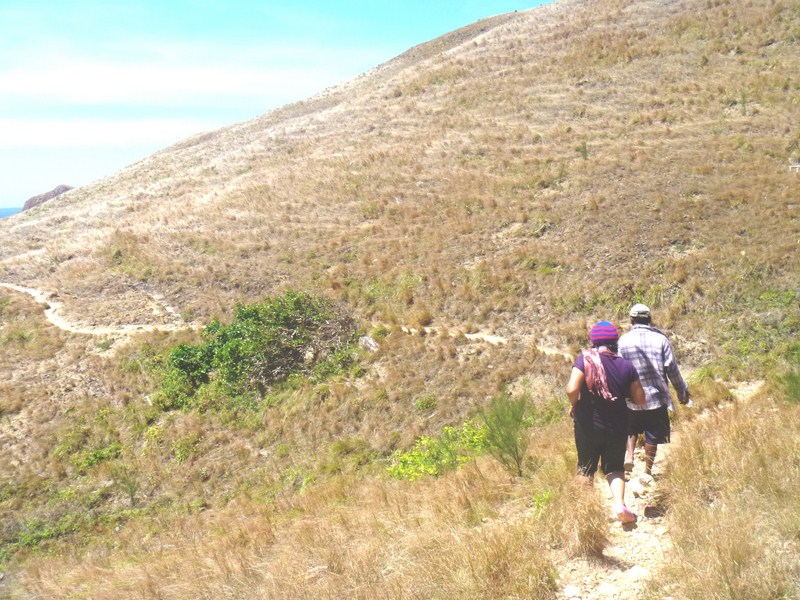
As it was still very early for lunch, we decided to trek the raw and rugged beauty of the island, with its hilly and grassy prairie-like landscape (the island has been called the “Batanes of Antique”).   Maricar and Clelia decided to just stay behind and swim the time away.

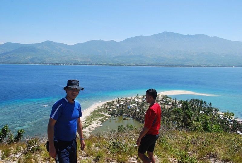
View of the fishing village, the sandbar and Mt. Madja-as

Bird’s eye view oof the fishing village, the sandbar and Mt. Madja-as

The initial trek was very tiring, as it was uphill and, as the terrain was mostly grassland, there were almost no trees to provide shade from the intense heat of the sun.  However, the view from the top was spectacular, with the fishing village and its lagoon and sandbar below us and, across the deep blue sea, majestic Mt. Madja-as on the Antique mainland.

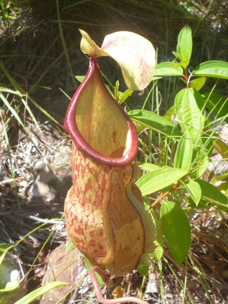
A carnivorous pitcher plant

A carnivorous pitcher plant

As we trekked the island’s spine, we observed some of the island’s interesting flora including carnivorous pitcher plants.  The downhill trek was not as tiring as the uphill trek but it was quite treacherous as the trail was very steep.  At this point, we could espy the island’s white sand cove, Nablag Islet, the typhoon-damaged, roofless shell of the island’s elementary school, and a small grove of pine trees as well as mosquito-repelling eucalyptus and neem trees.

Trekking the Batanes-like landcape

Trekking the Batanes-like landscape

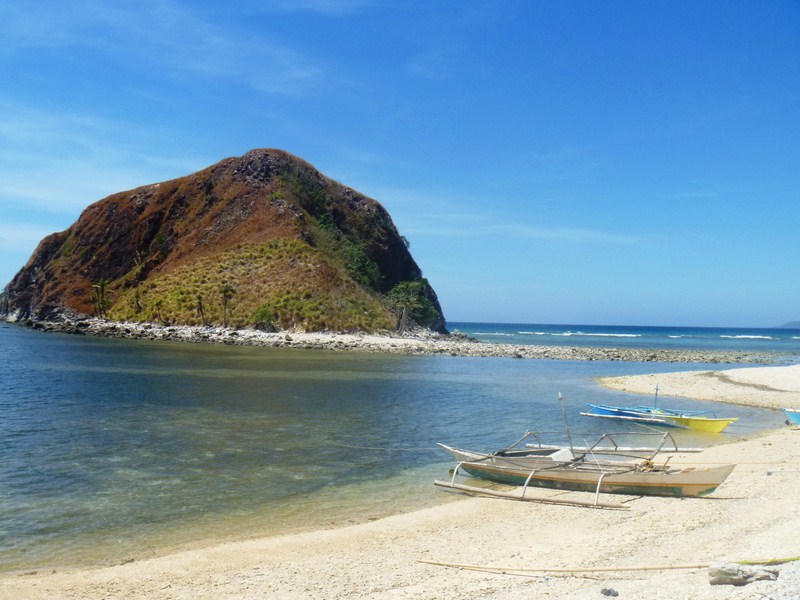
Upon reaching the school, we rested for a while before proceeding on to the cove.  Nablag Islet is just across the cove and we can cross it by foot, via a sandbar, as it was low tide, but we decided against it as it was almost noontime and we still had a long return trek ahead of us.

White sand cove and Nablag Islet

White sand cove and Nablag Islet

From the cove, we again went up a hill, where we again had magnificent views around the island, and down the rock shore where we found two 100-ft. long, sea-sculpted caves.  Trekking here was also difficult as we had to traverse slippery and sharp boulders along cliffs and rock formations.  Here, Regine slipped and drenched her camera.  From this area, we were picked up (or should I say, rescued) by our boat which brought us back to the village.

A sea-sculpted cave

A sea-sculpted cave

At the village, a pumpboat soon arrived, bringing in our packed lunch as well as Mr. Jonathan Jurilla and Ms. Marie Joy R. Sumagaysay, both U.P. Visayas (Miag-ao, Iloilo) Asst. Professors, the latter present during the patadyong weaving demonstration at Bugasong.  For the next three days, both were to join us for the rest of the tour.

Traversing rock formations along the coast

Traversing rock formations along the coast

After lunch, Maricar, Regine, Leah, Clelia, Arjay and Marcos left on the boat back to Culasi. Eman, Laurie, Jandy and I decided, while waiting for the boat to return, to go swimming at the left side of sandbar while Flord, Rupert, Arthele, Laurie, Jonathan and Joy whiled the time away under the relaxing shade of a tree.

Mt. Madja-as with sandbar in foreground

Mt. Madja-as with the island’s sandbar in foreground

Swimming here was great, as the shore along the sandbar was relatively shallow, the waters crystal clear and we again had the magnificent view of Mt. Madja-as as a backdrop, a scene that reminded me of Camiguin’s White Island and its backdrop of Mt. Hibok-Hibok.  Our boat arrived arrived after an hour and a half and the rest of us left the island by 4 PM.

Our media group at Culasi Blvd.

Our media group at Culasi Blvd.

Sunset at Tiguis Beach (Tibiao, Antique)

We have just ended our fun-filled Tibiao Eco-Adventure Tour activities and, back at our van, we made our way along the National Highway, to Tiguis Beach, Tibiao’s popular seaside scene, where we were to watch the great sunset. This gray sand beach, in Brgy. La Paz, faces the Cuyo East Pass, a part of the South China Sea.

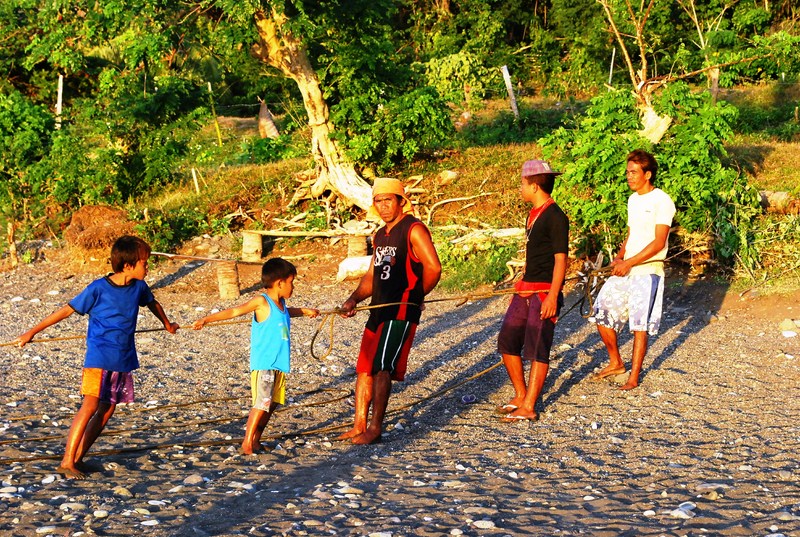
Fishermen and family members hauling in their net

Fishermen and family members hauling in their net

This typical swimming beach is also a place where one can and feel the ambiance of peace and serenity by just listening to the surf.  Along its shores are cliffs, talisay trees and huge, century-old balete (locally known in the Visayan dialect as lunok) trees. While waiting for the sunset, we also watched children playing along the shore and fishermen hauling in their nets.

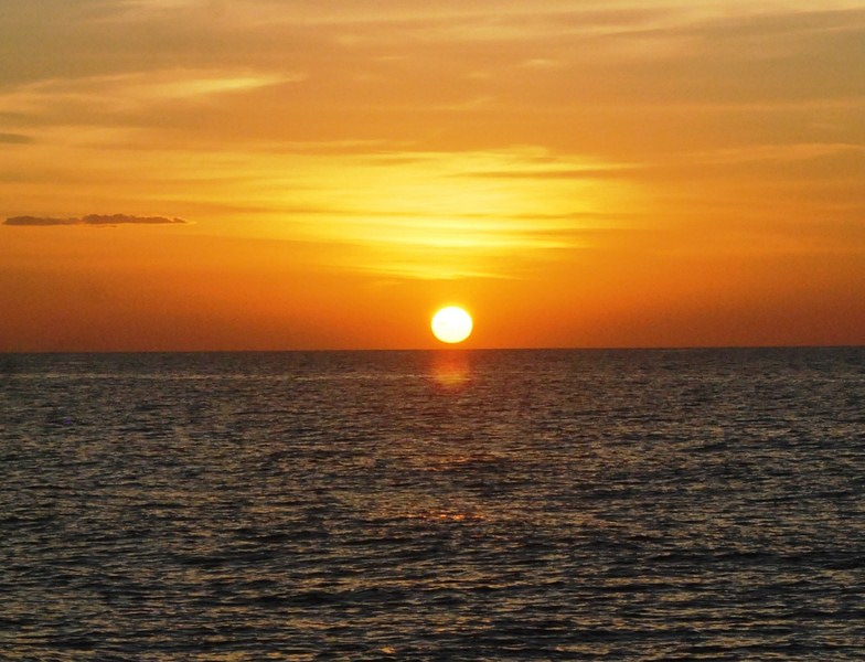
The magnificent sunset at Tiguis Beach

The magnificent sunset at Tiguis Beach

The sun soon reached the horizon and its setting was quite spectacular, as the conditions were right, with hardly any clouds to block the view.  All the photos we took were gorgeous.  No wonder it is included in the itinerary of Katahum Tours.  A cave is said to be located nearby. After watching the sunset at Tuguis Beach in Tibiao, we again returned to Culasi for another overnight stay, this time at the Anna Sophie Hostel & Garden. The resort, located within Culasi poblacion, next to Northern Antique High School, was already operational but still undergoing some additional construction.

Check out “Hotel and Inn Review: Anna Sophie Hostel & Garden

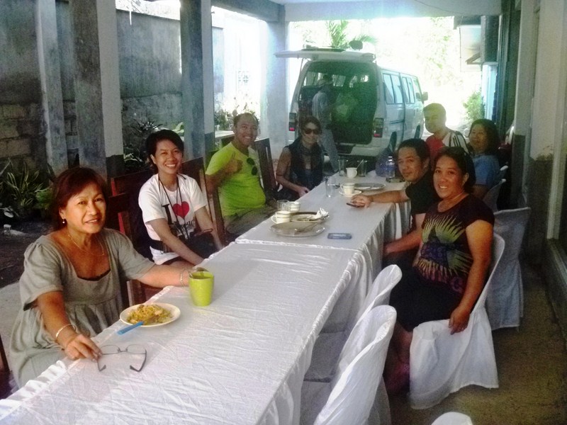
Still the owner, Mrs. Palacios, tried to make our stay as comfortable as possible, seeing to our every need as best as she could.  After checking in and freshening up, we were all invited for dinner set up at the driveway, the resort having no restaurant yet.

Media group with Ms. Palacios (left)

Media group with Ms. Palacios (left)

In spite of minor discomforts brought about by the ongoing construction, the cool breeze coming from the sea negated the need for airconditioning and assured a good night’s sleep, even for those checked in at fan-cooled rooms.  Another big plus was the wireless internet access which allowed me to post some blogs and the others to access their social media accounts, something we sorely missed the past few days, Typhoon Yolanda having struck Antique just 3-1/2 months ago, disrupting communications within the province.

Anna Sophie Hostel & Garden: Felipe S. Alpas St. Centro Sur. Culasi, Antique. Mobile number: (0920) 476-2508.

Katahum Tours: Tibiao, Antique.  Mobile numbers: (0919) 813-9893 and (0917) 631-5777. E-mail: flord@tibiaofishspa.com. Website: www.katahum.com.

How To Get There: Tibiao is located 73 kms. from San Jose de Buenavista, 12.6 kms. from Barbaza and 17 kms. from Culasi.

Bulusan: Eco-Tourism Haven (Sorsogon)

After our interview of AGAP-Bulusan, Inc. president Philip G. Bartilet at Lake Bulusan, Philip accompanied Bernard and I to the Bulusan municipal hall where we made a courtesy call on, and had lunch, with Mayor Michael G. Guysayko.  Like Philip, first term Mayor Guysayko is supportive of the environment conservation projects of AGAP-Bulusan, the rehabilitation of denuded forests and sustainable eco-tourism in the BVNP.

L-R: the author, Mayor Guysayko and Bernard

After lunch, Philip again accompanied us as we toured Bulusan town’s tourist attractions.  Our first stop was the town’s Church of St. James the Greater in Brgy. Central.  Located on a site called Punta Diamante (named after its diamond-shaped wall formation), it is dubbed the “Intramuros of Bulusan.”  Its walls were made of stacked up volcanic stones.

Punta Diamante

The church wasn’t old (erected around 1760, its Baroque facade was totally renovated in 1970) but the parish compound is enclosed by ramparts of the triangular, Spanish-era muralla (“stone fort”). Around the walls are burial niches and niches for santos (“saints“) while at one end is the equestrian statue of St. James the Greater and a wooden cross, above which is the statue of a standing Jesus Christ, with arms outstretched, on a pedestal.

A baluarte de piedra at Punta Diamante beside burial niches

Four baluartes de piedra (stone watchtowers”) can still be traced from the remaining walls near the shores of Brgys. Central, Dapdap and Mabuhay.  The church’s 4-storey bell tower (locally called kampanaryo), the largest of the 4 watchtowers, was believed to have been built in 1631 after the town was made an independent from Casiguran in 1630.  With 8 sides, the tower’s walls taper upwards in alternating piers. The ill-conceived 4th storey, housing the bells, is a totally inappropriate modern addition.

The church bell tower

From the town proper, we motored, 1 km. out of the town, along the Bulusan-Barcelona Rd., to the white sand Dancalan Beach in Brgy. Dancalan.  A popular swimming spot, the relatively shallow Dancalan Beach is lined with beach resorts and kiosks beneath the coconut trees that provide shade for picnickers.

The white sand Dancalan Beach

We also passed by the Dr. Jose Reyes Ancestral House and, from the vantage point of a bridge, the Bulusan River.  The 12 km. river, formed by the merging of the Dulipay and Malinang Rivers, and the Malugoy-lugoy Rivers, is a potential nature trekking area.  From here, we proceeded on our way to Lake Bulusan where Bernard and I were to do some leisurely kayaking.

The Bulusan River

Apuao Grande Island (Mercedes, Camarines Norte)

Back on our boat, we still had time to visit Apuao Grande Island, the most famous of the Siete Pecados Islands.  Located 10 kms. northeast of Daet and a 45-min. boat ride from Mercedes, we again made landfall at a beautiful stretch of white sand beach.  The island also has agoho trees (an evergreen species of trees that look like pine trees),  mangrove forests, a sandbar and a steep cliff (ideal for rock climbing) on the Pacific side.
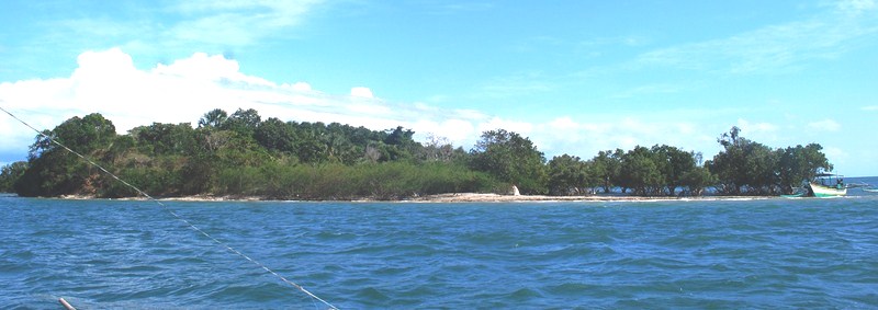
Check out “The Siete Pecados of Mercedes

Apuao Grande Island

Apuao Grande Island was also once home to the once high-end TS Resort, formerly operated by the Australian-run Swagman Hotel chain.  At its heyday in the 1980s, it had 30 non-airconditioned cottages with bath, a restaurant, beach bar, swimming pool, tennis court, gym, sauna, a 9-hole golf course and an airstrip.  Now abandoned due to lack of marketing push and typhoons, most of the solar-powered villas are leased to many expatriates who want to stay on the island.

Posing with Apuao Pequena Island in the background

From Apuao Grande Island, we crossed over to the 24.29-hectare Apuao Pequena Island (also called Apuao Munti Island) which is connected to Apuao Grande Island by a land bridge (during low tide).  It wasn’t low tide yet, but somehow we managed to cross to the other side despite the somewhat strong current.  The island has a 350 m. long shoreline, a 150-ft. high mountain and a campsite.

The campsite at Apuao Pequena Island

We didn’t have time to visit Caringo Island and Malasugui Island (the smallest of the seven) and their white sand beaches and, thus, we again boarded our boat for the return trip back to the mainland. The perfect time for visiting these islands is from late March to early May.  It was such a pleasant surprise to see how beautiful islands such as these have been kept from the national tourism spotlight for so long.  Maybe, next time, they’ll take notice.

Crossing towards Apuao Grande Island

Mercedes Municipal Tourism Development Operation Center: Mercedes Fish Port, Mercedes, Camarines Norte.  Tel: (056) 444-1261.  E-mail: discovermercedes@yahoo.com. Website: www.discovermercedes.gov.ph.

The Siete Pecados of Mercedes

The Siete Pecados

I again got an invitation from Daet Mayor Tito S. Sarion to attend Daet’s Pinyasan Festival together with events organizer Mr. Bernard Supetran.  Two days before the big event, I hopped on the 1 PM Philtranco bus bound for Daet.  Normally, the trip took just 8 hours but traffic due to road widening and repair projects extended my trip another 2 hours.

Check out “Pinyasan Festival 2011

It was just about 10 PM when I arrived at the town, checking in at the Prime Suite Hotel along Vinzons Ave.  After a late dinner at a nearby Jollibee outlet, I met up with Atty. Debbee Francisco, of the Camarines NorteTourism Office, at the Miss Daet/Miss Pinyasan 2012 pageant held at the Daet Agro Sports Center.   Debbie scheduled an island hopping treat for us the next day.

Mercedes Fish Port

The next day, after breakfast, Debbee and Mr. Aldrin Sarion, a member of her staff, picked us up at our hotel and brought us to the municipal port of the nearby (7 kms.) town of Mercedes.  One of the most important and prosperous fishing ports in Luzon, this town, the fish bowl of the Bicol Region, is home to the third largest fishing ground in the country.   Mercedes’ large fishing fleet of 20-m. long basnigs supplies a large bulk of the catch of fish and shrimps to Manila.  We arrived in time for the lively early morning fish market (open from 6-8am).  At the port, we were welcomed by Mr. Victor John Orendain IV, a staff member of the Mercedes Municipal Tourism Development Operation Center.

Mercedes Municipal Tourism
Development Operation Center

Here, a boat (aptly named Dona Mercedes) was chartered for our morning tour of Mercedes’ picturesque Siete Pecados (“Seven Sins”) group of islands which comprises Apuao Grande, Apuao Pequeña, Canimog, Canton, Caringo, Malasugui and Quinapaguian Islands. Victor and Aldrin accompanied us on this trip and we brought along snacks and a tandem kayak.  Debbee stayed behind as she had to attend to their float for the festival.  On several occasions, while we were cruising along, we espied hundreds of flying fish doing their aerial acrobatics around our boat.  About 15 mins. into our trip, we passed (but did not land) by the by the crocodile-shaped Canimog Island, the largest of the 7 islands.  The island has a dramatic lighthouse where one can camp, a grayish sand beach and lush foliage which is home to thousands of huge bats.  Its  lighthouse, erected June 26, 1927, is one of the oldest in the Bicol Region.

Rocky Canimog Island and its lighthouse

About 30 mins. out of town, we arrived off the coast of rocky Canton Island. We also didn’t make landfall here as the island has no beach and has minimal vegetation.  However, the island is noted for its underwater Canton Cave. The cave is visible only at low tide and we were hoping that was the case as we planned to do some kayaking all the way to its entrance.  Disappointment was written in our faces as we neared the cave, still at its high tide mark.  Somewhat strong waves here would also have dashed our kayak to the rocks.  Oh well, maybe next time.   We proceeded on our way

Canton Cave

About 15 mins. later, we arrived at small Quinapaguian Island, this time making landfall at its nice stretch of white sand beach. The island offers a good view of the other islands and has a fish sanctuary where one can go snorkeling.  However, we weren’t there for the latter as offloaded the kayak from our boat, donned life vests, boarded the kayak and started paddling its calm, clear, blue waters towards the other side of the island.  This more than made up for our missed opportunity at Canton Island.

Quinapaguian Island
Bernard and I on our kayaking run

Mercedes Municipal Tourism Development Operation Center: Mercedes Fish Port, Mercedes, Camarines Norte.  Tel: (056) 444-1261.  E-mail: discovermercedes@yahoo.com. Website: www.discovermercedes.gov.ph.

Malay to Nabas Tour (Aklan)

On our third day in Aklan, my good friend Gil Bilog (my wife Grace’s first cousin on her mother’s side) and I had our breakfast at our usual hangout, Seaside Restaurant , Malay  poblacion’s (town center) only full-service restaurant which is owned and operated by Ms. Myra Oczon (Grace’s niece) and her husband Dodoy.  Both also work at the nearby Municipal Hall.  As the name implies, the restaurant is located by the sea, along the poblacion’s clean, gray sand beach.  At night, during supper, we could hear and feel the surf pounding the sea wall.  Along the beach, we could  see the lights along Boracay‘s long beach as well as faintly hear the sounds of its active nightlife.

Malay Poblacion Beach

The native-style restaurant serves a number of Filipino dishes (including my favorite sisig and Gil’s favorite sinigang) and grilled dishes (fish, chicken, pork, squid, etc.) and also has picnic sheds for those who want the feel of the sea breeze as well as get a panoramic view of distant Boracay Island and its well-known white sand beach.   There’s also a pension house with rooms with bath for transients.

Seaside Restaurant

In the afternoon, I decided to tour Gil to the nearby town of Nabas to explore its Union Beach. For lunch, I drove the Mitsubishi Adventure the 6 kms., with Gil and Carl Flores (Grace’s first cousin on her father’s side), along the now completely concreted road, to Andok’s at Brgy. Caticlan’s Jetty Port.  It was already starting to rain when we finished lunch and it remained so as I drove the 20 kms. along the scenic coastal highway to Nabas

Union Beach Resort & Lodge

Along the way, at the left of the highway, we had a stunning vista of unspolied white sand beaches, the likes of which were similar to Boracay before the advent of tourism.  We made a stopover at Union Beach Resort & Lodge where we had hot coffee and a long chat at one of its elevated picnic huts.   As it was the amihan season, the resort had set up screens to prevent wind-blown sand from bothering guests.  

Gil, me and Carl along Union Beach

During a break in the rain, we made our way through the opening in the screen to walk along the beautiful, palm fringed white sand beach.  Boracay and its offshore islands can also be seen in the distance, northwest of the beach.  At a nearby point of land, Carl pointed out a property owned by host and comedian Ariel Ureta.  The resort also has small airconditioned rooms with bath and cable TV for those who want to stay longer in quiet surroundings.

Carl and Gil at Tabon Docking Area.  Behind is Laurel Island

It was again starting to rain when we left the resort.  Driving back to Malay, we made a short stopover at the Tabon Docking Area where boats from Boracay drop off their guests when rough seas prevent their docking at Caticlan’s Jetty Port.  The concrete docking area was now cracked in places and in dire need of repair. Across the port, we had a good view of the rocky, aptly named Crocodile Island, other offshore islands as well as Laurel Island and its white sand beaches.

Crocodile Island

Before returning to Malay poblacion, we made another stopover at Nimya Flores-Thompson’s beautiful seaside house in Brgy. Motag.   Ate Nimya, a long time Australian resident and citizen whose British husband Bill died some years ago (in fact, on November 1, All Saints’s Day), spends part of the year in her home in Malay.  The house is protected from the sometimes raging sea by a concrete sea wall.

Ate Nimya’s beachside house

Nimya entertained us from her porch facing the clean gray sand beach and the sea.   She also has a small separate cottage which she rents out to expats (it was then occupied).  Nimya’s neighbors are also expats who married Filipinas.  They also built beautiful homes in this equally beautiful seaside setting.     

Brgy. Motag’s gray sand beach
Seaside Restaurant: Brgy. Poblacion, Malay, Aklan.  Mobile numbers (0918) 399-8052 and (0908) 140-9791.
Union Beach Resort & Lodge: Brgy. Union, Nabas, Aklan.  Mobile numbers (0949) 750-5177 and  (0921)  762-7564.

Enchanted with Cagbalete Island (Mauban, Quezon)

Cagbalete Island

Come morning and after breakfast at the Mayor’s house, Bernard and I decided to do some more sightseeing.  Omar, Baby and Dax left earlier to cover the unveiling of the historical marker at Rizal Hill Park.  To burn some of our excess calories, we visited, on foot, a number of the town’s old ancestral houses (Alquiros Residence, Quintana Residence, Pansacola Residence and Taino Residence) and the monument to native son Fr. Horacio V. de la Costa.  By 10 AM, all of us met up at the municipal hall as we were slated to go on a day tour of the 1,640.48 sq. km. Cagbalete Island, one of Mauban’s top tourist draws.

Taino Ancestral House

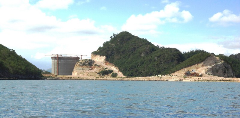
We boarded to tricycles to get to the port at Brgy. Daungan as we were hoping to still catch the morning trip (10 AM) to the island and leave the island on the afternoon boat (1:30 PM).  At the port, we were met by Mr. Romano “Roman” Balatbat, the former barangay captain of Brgy. Cagbalete 1 (now headed by his wife), one of the island’s 2 barangays (the other being Cagbalete 2).  Mang Roman is a Visayan migrant to the island, just like most of the island’s inhabitants.  Our huge motorized outrigger boat left the port by 10:45 AM and the 6 km. trip took all of 45 mins..  Along the way, we passed the the 440 MW, coal-powered Quezon Power Project.  Built in 2000, it is the first privately built, owned, and operated power generating facility in the Philippines.

Quezon Power Project

We were within sight of the island’s beach by 11:30 AM but we had to transfer to a smaller, flat-bottomed boat to get to shore as we were anchored some distance away, it being low tide.  Just the same, I had to raise my pant legs and remove my shoes and socks to wade ashore.  Mang Roman first invited us to his house where a simple but filling lunch of fried chicken, fish and soft drinks was prepared for  us.  After lunch, we walked along the barangay’s narrow pathways and, after that, the beach itself to get to the island’s other side  where the island’s white sand beaches are less populated and at their most beautiful.  

Cagbalete Beach

Naturally, there were a number of resorts located along this beautiful stretch of white sand and we spent a substantial amount of time at the quaint Pansacola Beach Resort.  The resort has rustic fan-cooled, 8-10-pax nipa huts with common toilets and bath (rented for PhP2,000) and 12-20-pax houses with private toilets and bath (rented for PhP4,000).  Open beach huts are rented for  PhP1,000.  Other resorts located on the island, all in Brgy. Cagbalete 1, include Little Prince, MVT Sto. Nino and Villa Cleofas, said to be the best on the island.   

Pansacola Beach Resort

Our enchantment with the beautiful beach, where we did some “leaping” photo ops, made us forget about the time and, realizing this, we soon thanked the resort caretaker and quickened our pace to make it back to the landing area.  Too late.  We were still some distance away when we espied our boat already leaving the beach and us for that matter.  Luckily for us, there were still other, smaller motorized boats around, the barangay being a fishing community, and Mang Roman made arrangements for a boat to bring us back to the port.  The trip back took a little longer, it being a smaller boat, and there was to be no roof to shade us from the hot afternoon sun.  Still, we were thankful that we made it back to town as we had to depart for Manila in the late afternoon.  

The Public Bath

Back at the port, we thanked our gracious host and savior Mang Roman and met up with his wife (now barangay captain of Cagbalete 1).  Then, we returned to the municipal hall to inform the Tourism Office of our safe arrival.  Later, we left  it laden with bottles of nipanog wine, parting gifts courtesy of Mayor Llamas.  Before leaving the town, we visited the parents of Lee at their Mauban home (and again left it laden with additional 4-gallon bottles filled with nipanog wine for us and Lee)  and the town’s Public Baths at the end of San Buenaventura St. (cor. Mabini St.), between Brgys. Daungan and Mabato.  Built in 1725 by Kapitan Luis de la Cruz, it has 2 compartments, boys on the left and girls on the right.  The baths used to be supplied with overflow water from the town’s reservoir.  Now they’re dry.  Mauban is the only municipality in the country to have such a structure.