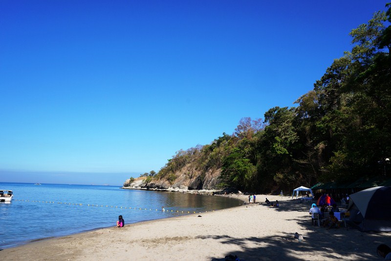
Munting Buhangin Beach
From the very crowded Interlink Beach, we again continued on our quest to find a suitable beach resort for overnight camping. Canyon Cove was out of the question (PhP800/pax just for a day tour) so we moved on. Then I saw the sign for Munting Buhangin Beach Camp and, remembering my past overnight stay there, decided to check it out.
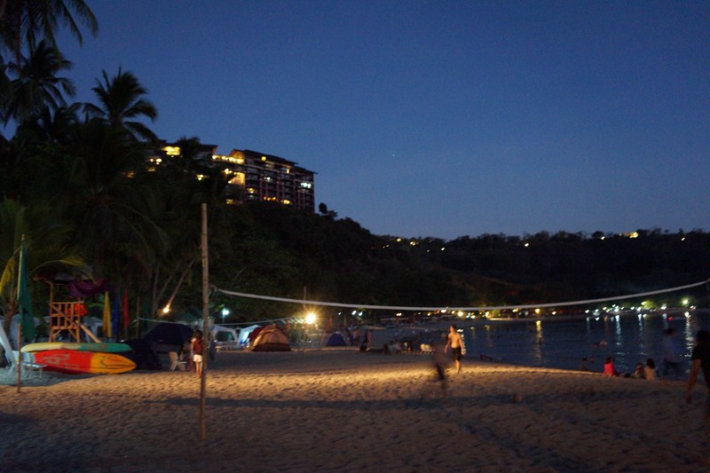
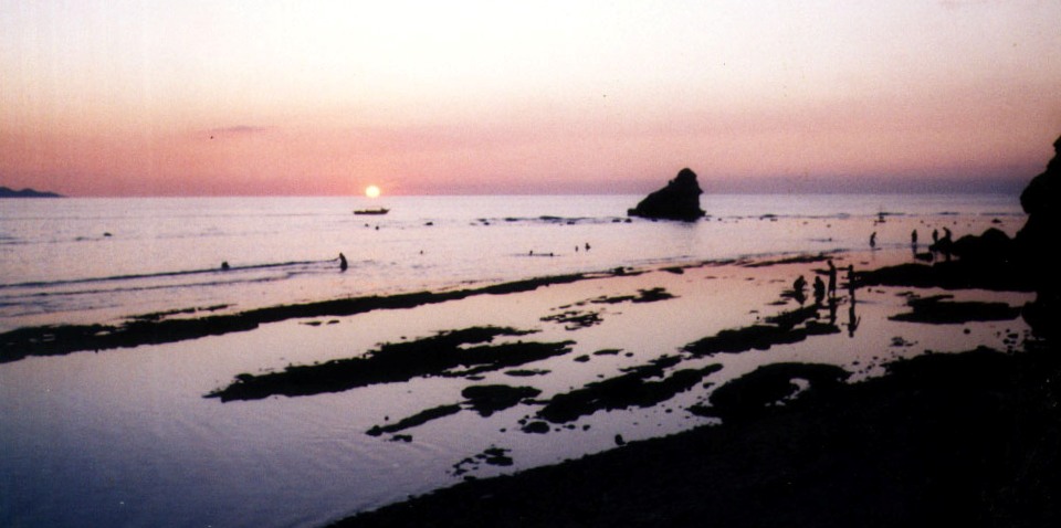
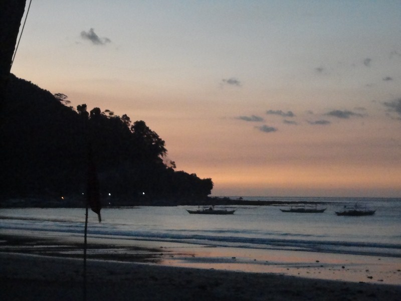
Munting Buhangin in the evening
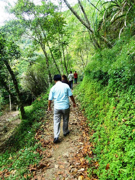
Just past the members only Terrazas de Punta Fuego, we turned left into the gate of the resort and inquired about the rates from the security guards. From here, it’s a 1-km. and very steep downhill drive. As it was the peak season, we had to park our car some distance from the resort. We decided to leave the heavy camping gear inside the car and walk the rest of the way down. Then we had to go down a very long flight of stairs, with some 100 steps, to get to the reception area.
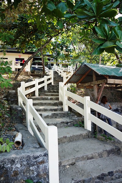
The long flight of stairs
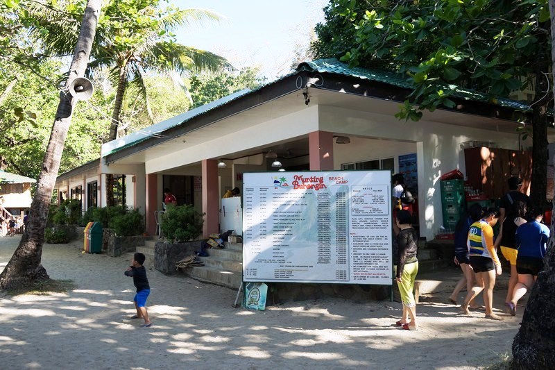
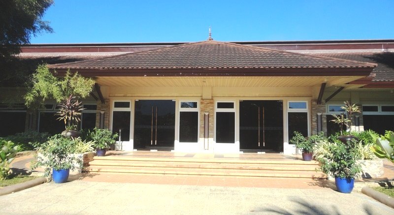
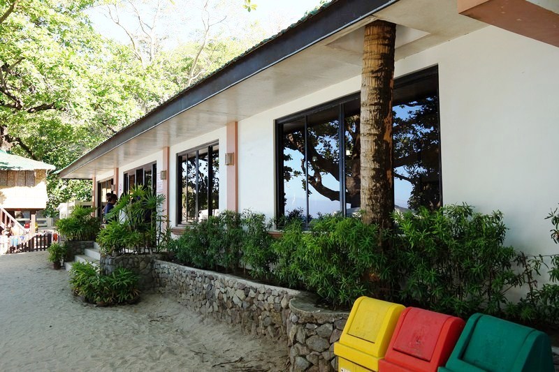
Reception and information area
Our total bill for our overnight camping, which we promptly paid, came up to PhP3,400 which included entrance fees, camping fee and breakfast the next day for the 5 of us. I regretted not bringing our gear with us. Oh well.
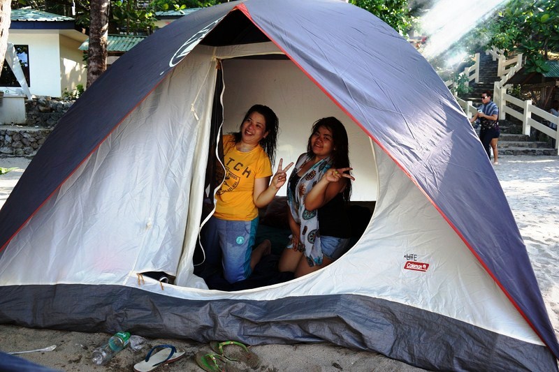
Melissa and daughter Almira inside the Coleman tent
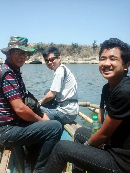
My son Jandy and Albert
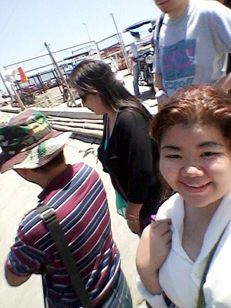
Anyway, my son Jandy and Melissa’s children Almira and Albert volunteered to return with all our stuff, making the arduous climb up the stairs and the steep driveway to get to the car and then return, this time heavily laden, with all the heavy camping gear, backpacks and provisions. Thank God for children.
Kainan sa Beach Camp
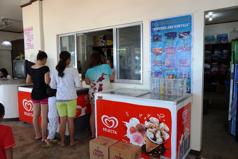
The convenience store
The 24-hectare Munting Buhangin Beach Camp is backpacker and camper-friendly and just perfect as I brought along my 5-pax Coleman tent. This we pitched under a shady tree and beside a convenient long table with benches, all monobloc. Kainan sa Beach Camp, its restaurant, as well as the information and reception area (with its all-important convenience store where we bought our bottled water, ice cream and snacks) and a common grilling area were nearby.
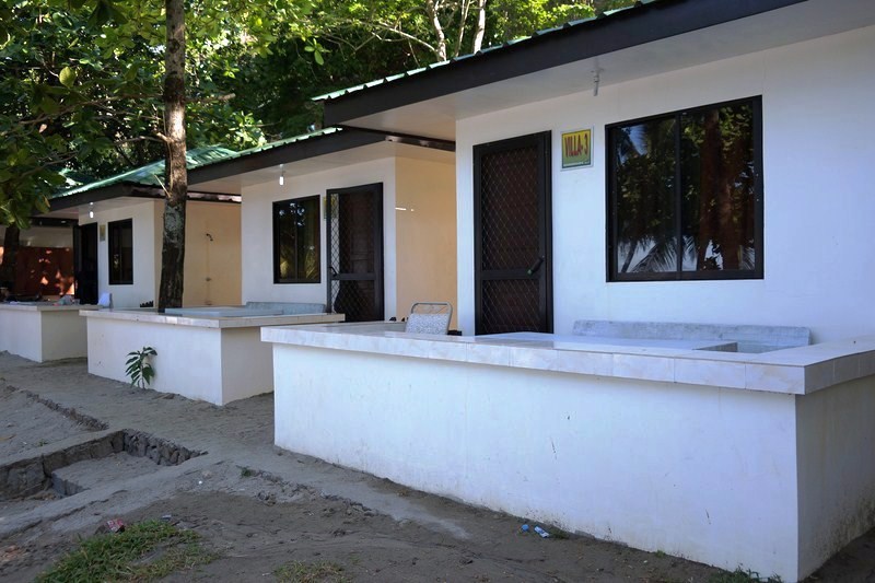
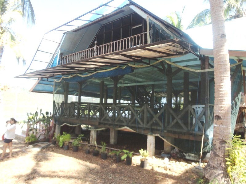
Airconditioned concrete cottages
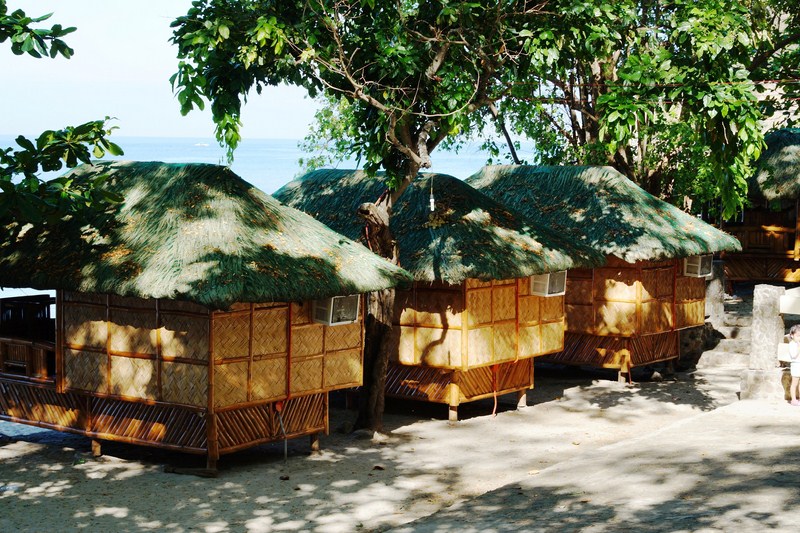
Airconditioned bamboo cottages
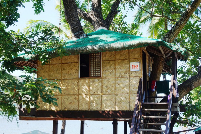
A treehouse
The resort also has a variety of accommodation choices, from airconditioned cottages, 2 and 4-pax family rooms, the always popular 10-pax treehouses to tents for rent. They also have conference rooms for seminars and team building activities. Their comfort rooms and shower areas, quite a long walk away, were not well-maintained, with sand all over the floor.
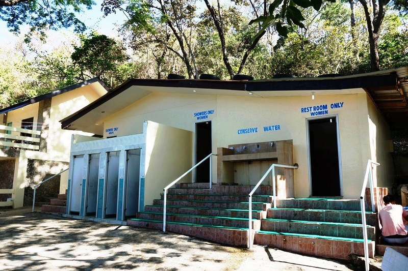
Comfort room and shower area
We didn’t sleep much inside our tents as our noisy neighbors were up all night and into the wee hours of the morning. With no sea breeze, it was also uncomfortably hot that night. Our packed breakfast the next day, ordered the night before, wasn’t much – scrambled egg and a cup of steamed rice with a choice of either tocino, beef tapa or longanisa.
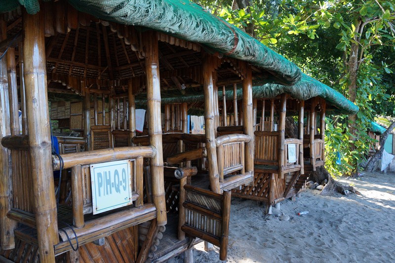
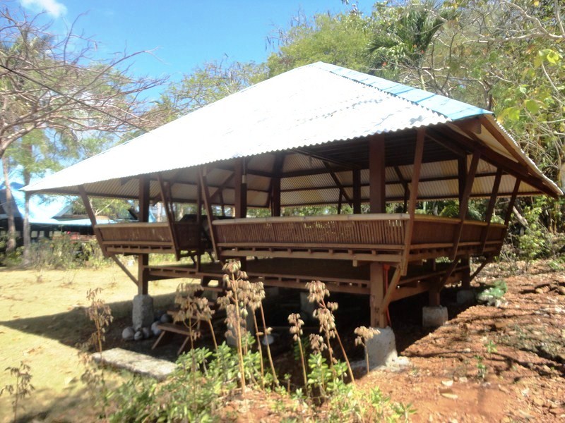
Bamboo and nipa picnic huts
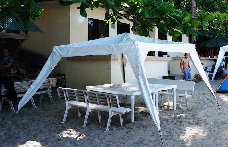
Monobloc picnic table and benches
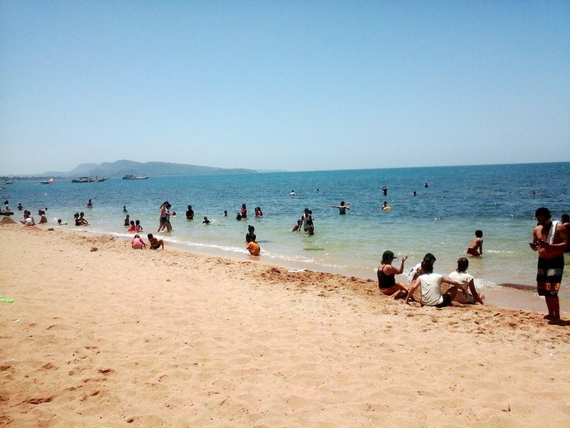
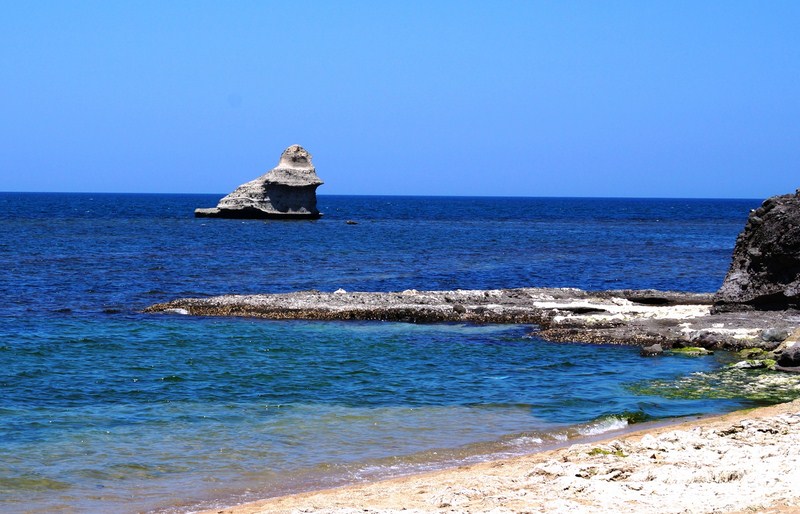
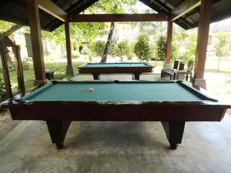
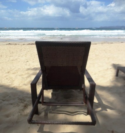
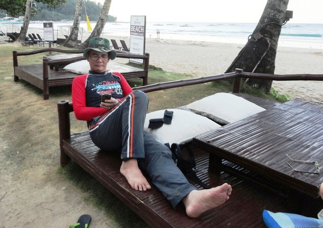
A plus for the resort is their clean and wide beach front, on a captivating cove, which has clear and shallow water (not so during the rainy season though) with fine, light brown sand (no shells or sharp rocks) and not much waves, just right for giving lessons to a city dweller like Melissa on how to float. In spite of it being Holy Week and summer, the beach wasn’t overflowing with bodies. They also offer beach volleyball, tug-of-war, high rope, watersports (kayaking, banana boats, jetskis, aqua glide, speedboats, etc.).
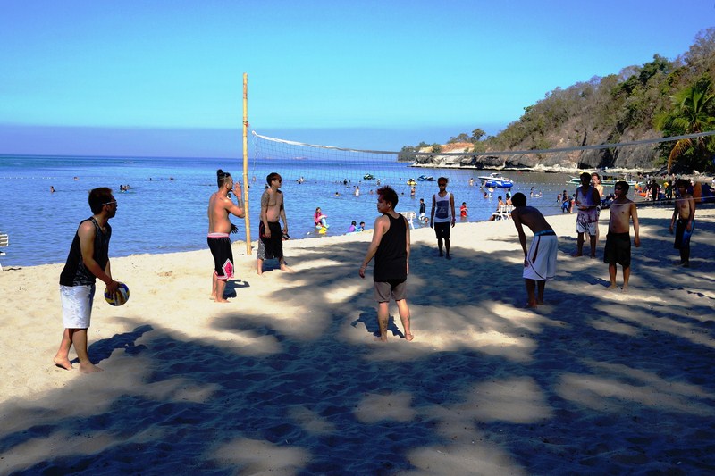
Beach volleyball action
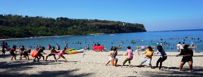
Melissa (third from right) joining the tug-of-war
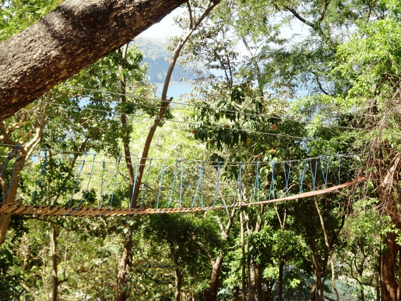
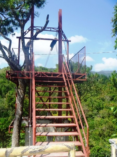
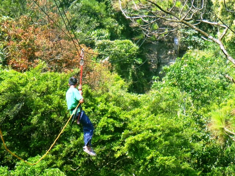
The High Rope
There is nothing super special about this resort. However, if you’re just a backpacker, camper or simply a typical traveler just looking for some relaxation, a nice beach and a family picnic (you can bring your own food) under some shady trees while watching a beautiful sunset, then this is a good choice.
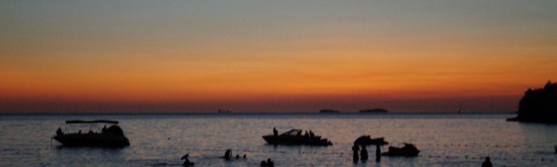
Dusk at Munting Buhangin
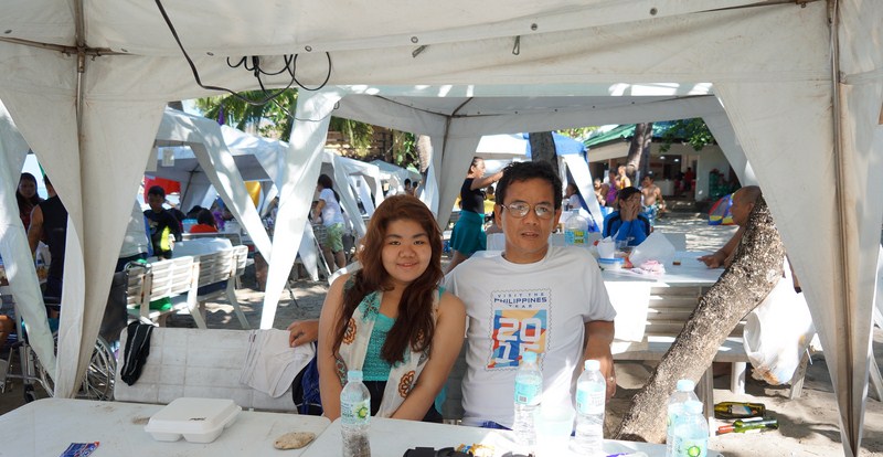
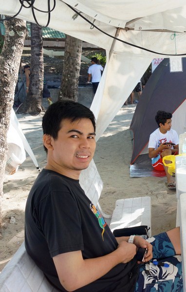
The author with Almira
Munting Buhangin Beach Camp: Brgy. Natiunan, Nasugbu, Batangas. Metro Manila booking office: 7/F Makati Executive Center. 114 L.P. Leviste cor. V.A. Rufino Sts., Salcedo Village, Makati City. Tel: 818-1975, 818-4798, 812-5448 and 818-2083 local 122. Fax: (632) 892-3649. Mobile number: (0922) 887-4131. E-mail: muntingbuhangin@gmail.com and muntingbuhangin@yahoo.com. Website: www.muntingbuhangin.ph.