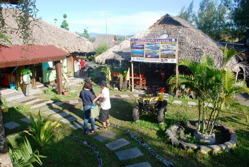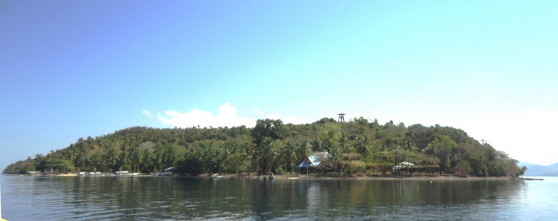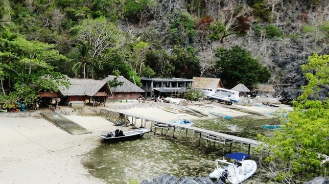
Sangat Island Dive Resort
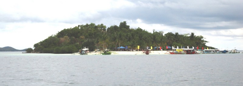
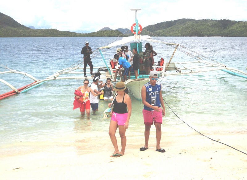
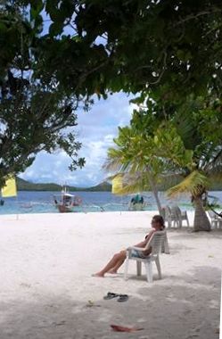
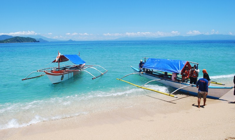
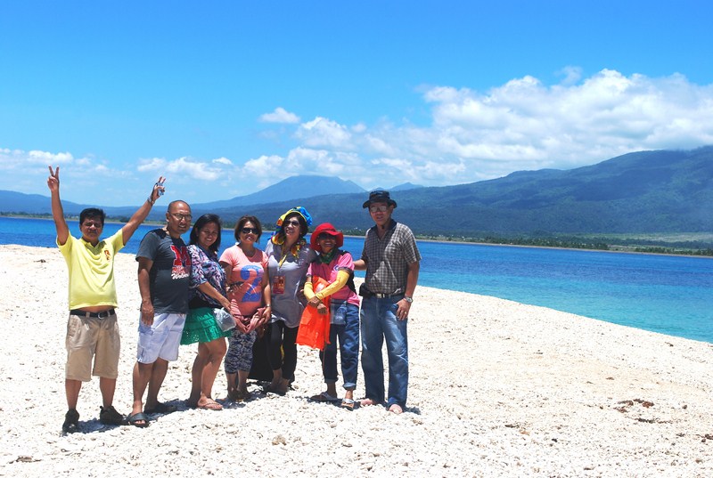
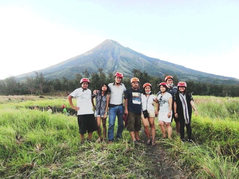
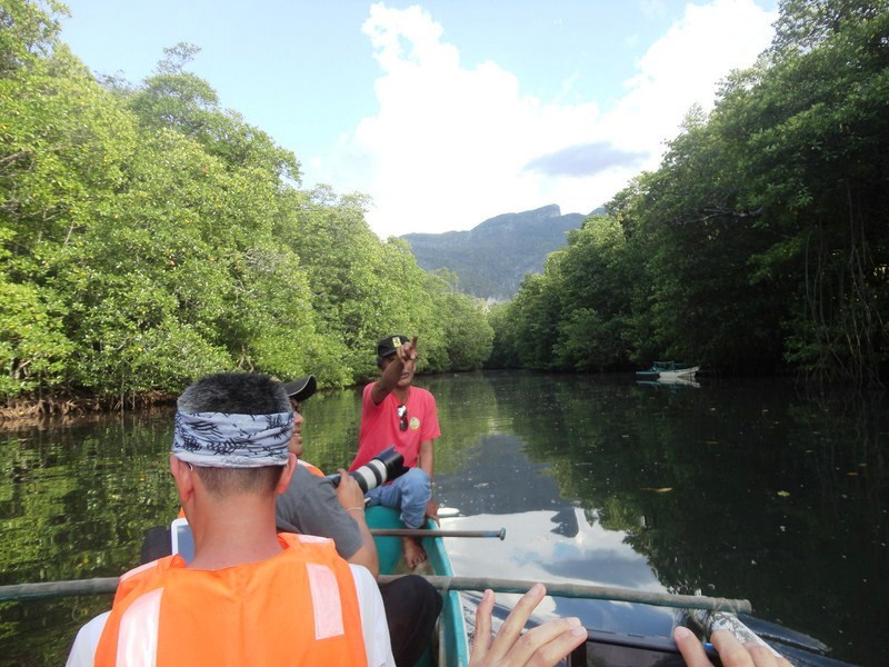
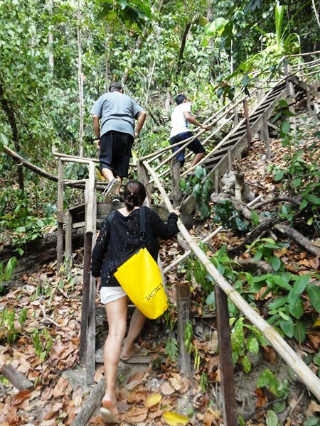
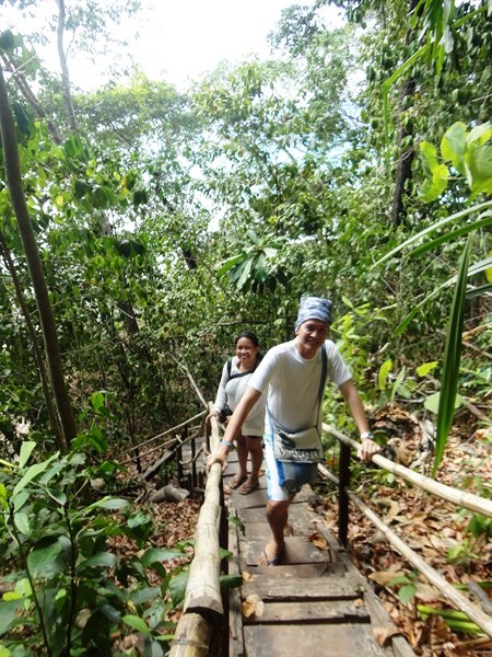
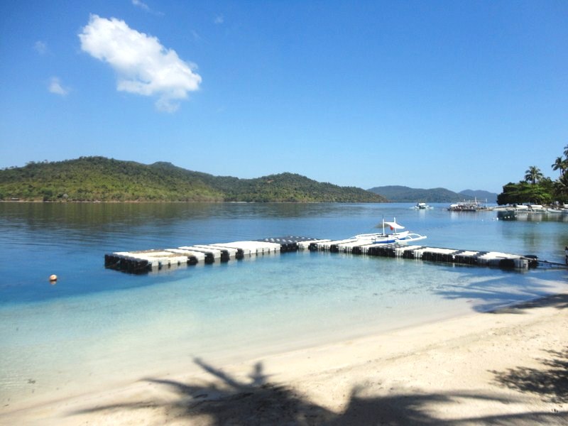
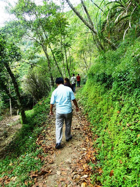
The last leg of our Asia Grand View Hotel-sponsored activity was a visit to Sangat Island Dive Resort where Ms. Rhoanne Rose Bolohabo, AGVH Resident Manager, used to work. From our outrigger boat, Rhoanne, Aylin, Gem, Adora, Joy, Issa, Angelo, Donald and I were picked by the resort’s motor boat while Mike opted to swim the short distance to the shore. The others decided to stay behind on the boat.
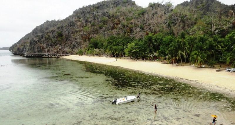
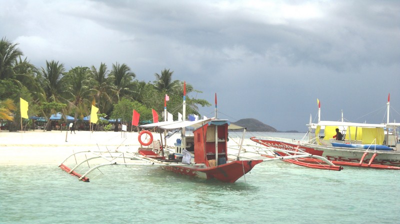
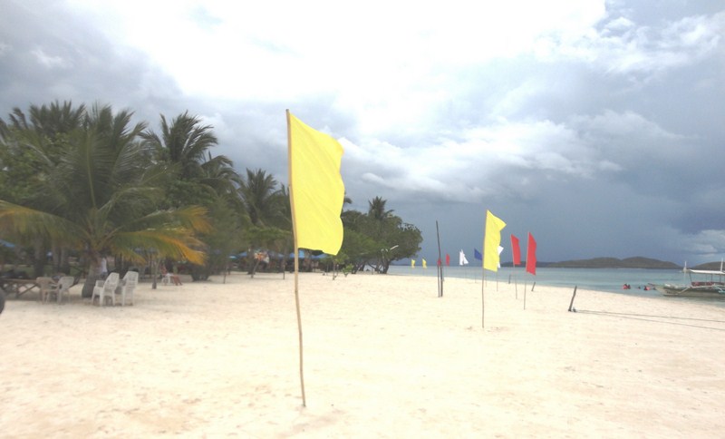
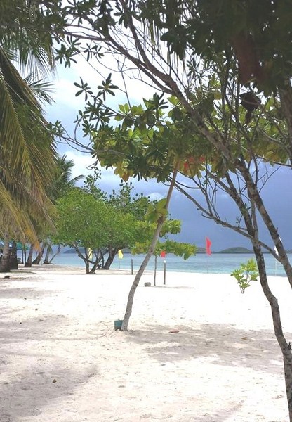
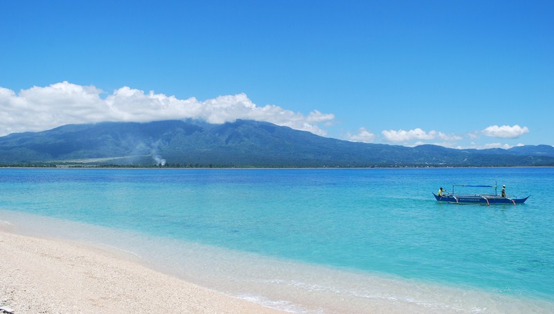
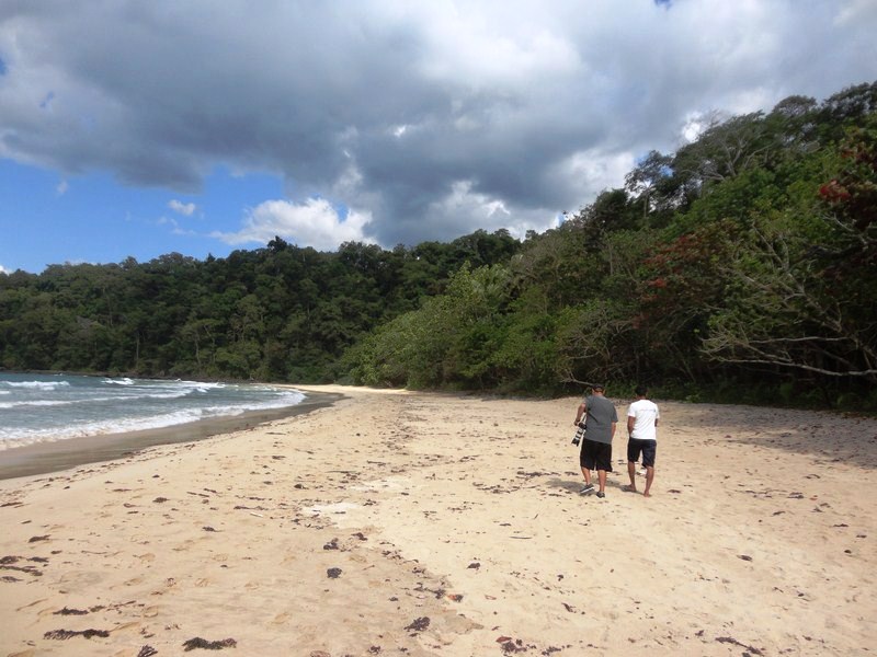
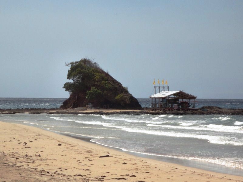
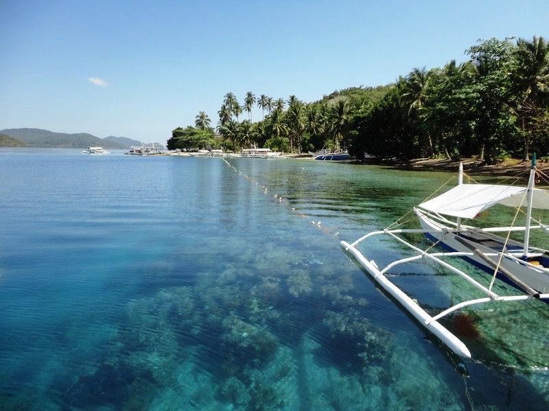
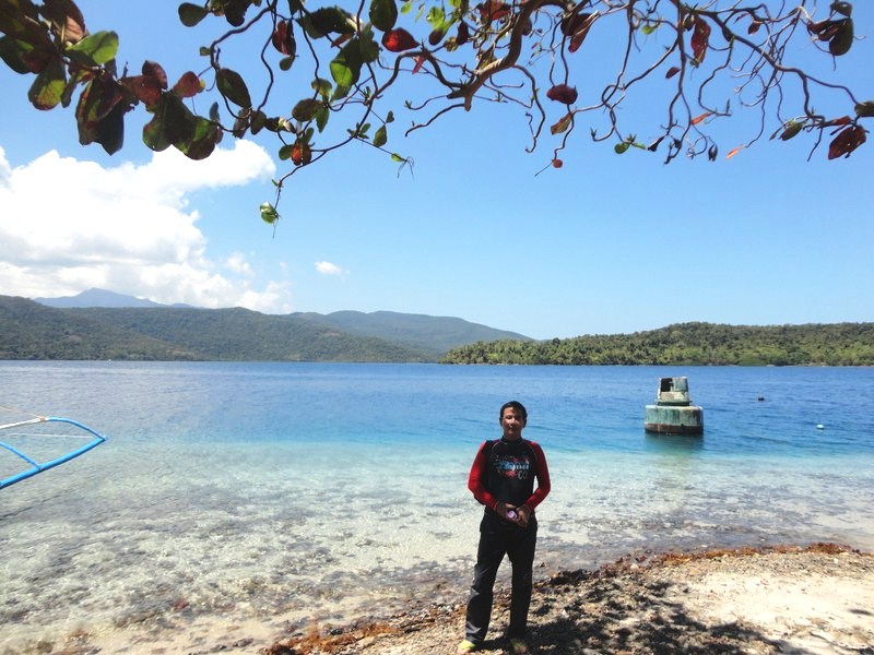
The 300 m. long white sand beach
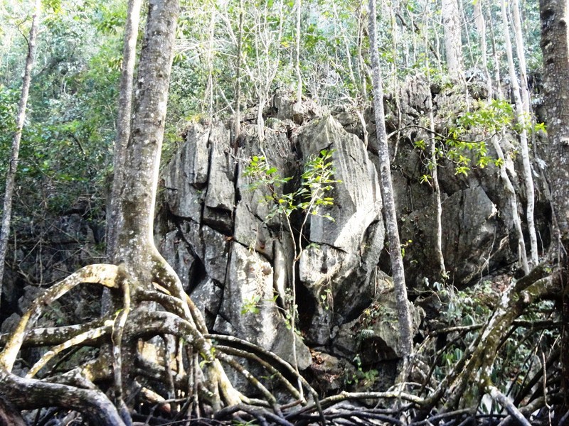
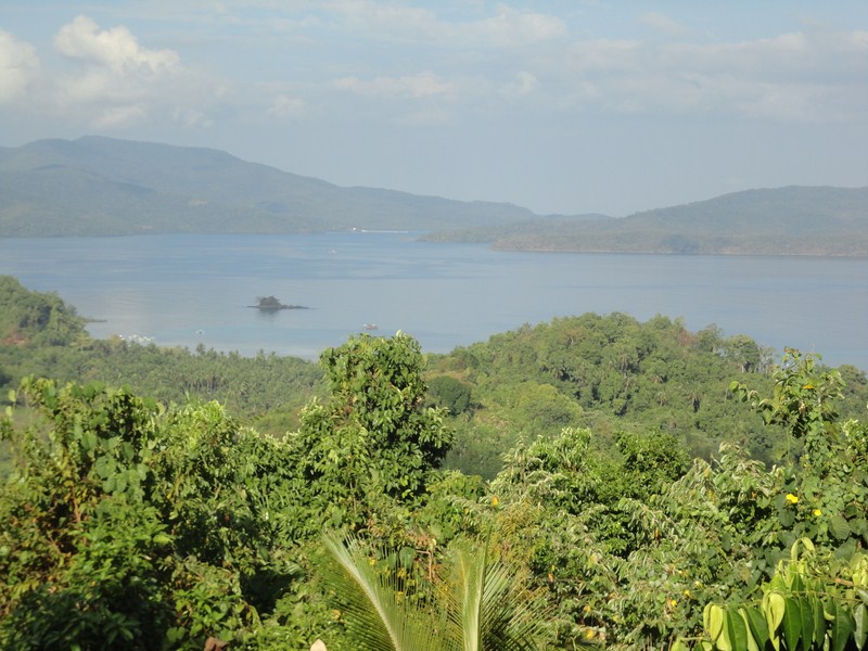
Sangat Island Dive Resort, occupying a major portion of the southwestern cusp of postcard-perfect Sangat Island, was opened in 1994. It has a 300 m. long white sand beach surrounded by towering limestone cliffs and majestic coconut palms.
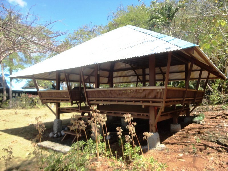
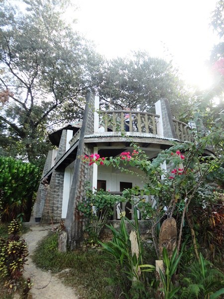
Bungalow suite
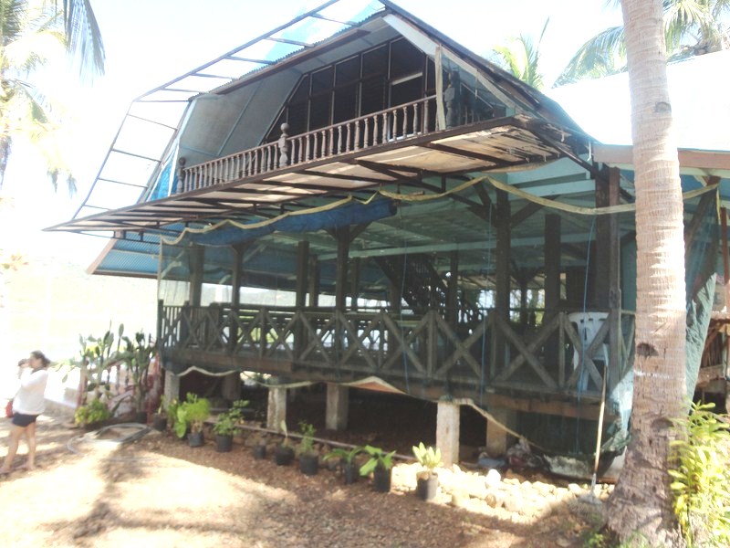
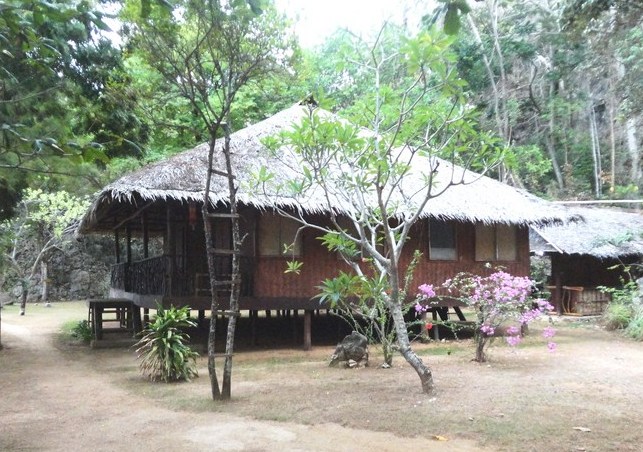
The resort has 14 enchanting and quaint, native-styled ecologically “low-impact” guest accommodations with Western-styled bathrooms and ceiling fans, built with locally-available materials such as hand-woven bamboo wall panels, split-bamboo flooring and cogon grass or nipa palm roofing.
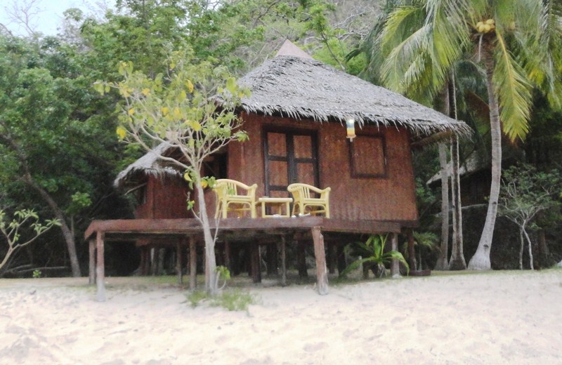
Beachfront cottage
They include beachfront and hillside cottages on stilts, a family-friendly bungalow suite complex, the exclusive Hilltop Chalet and the exquisite tri-level, two bedroom Lambingan Villa which has it’s very own private beach. A special one, dubbed the Robinson Crusoe Cottage, is located on an isolated beach off the southwestern coast of the island.
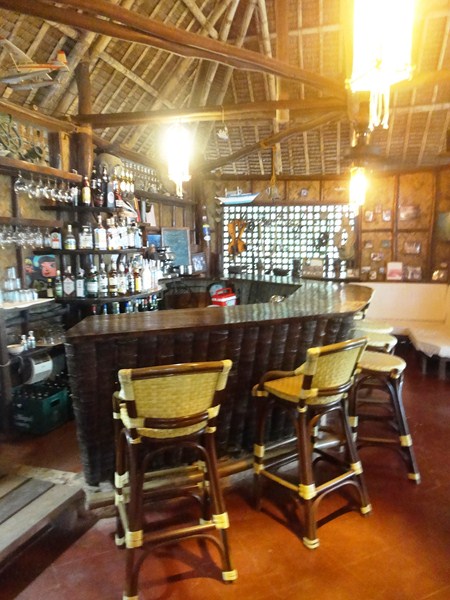
Sangat Island Bar
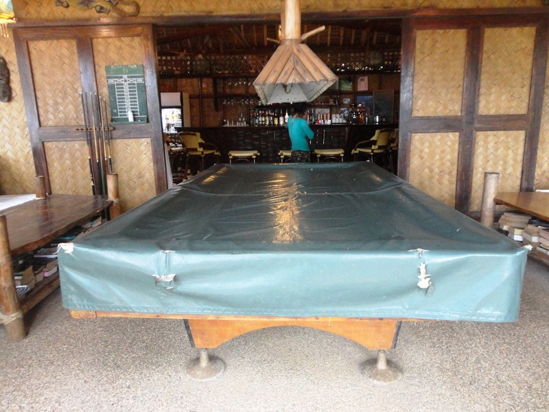
Billiard table at Sangat Island Bar
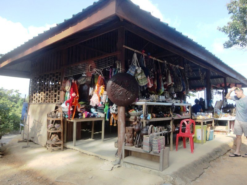
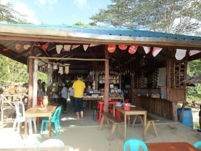
The resort also has an open-air, beachfront restaurant facility, two full-service bars (the Sangat Island Bar and the open-air, above water Rock Bar), fitness center and souvenir shop. The Sangat Island Bar has a comfortable conversation lounge and a billiard table.
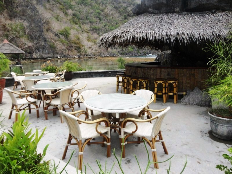
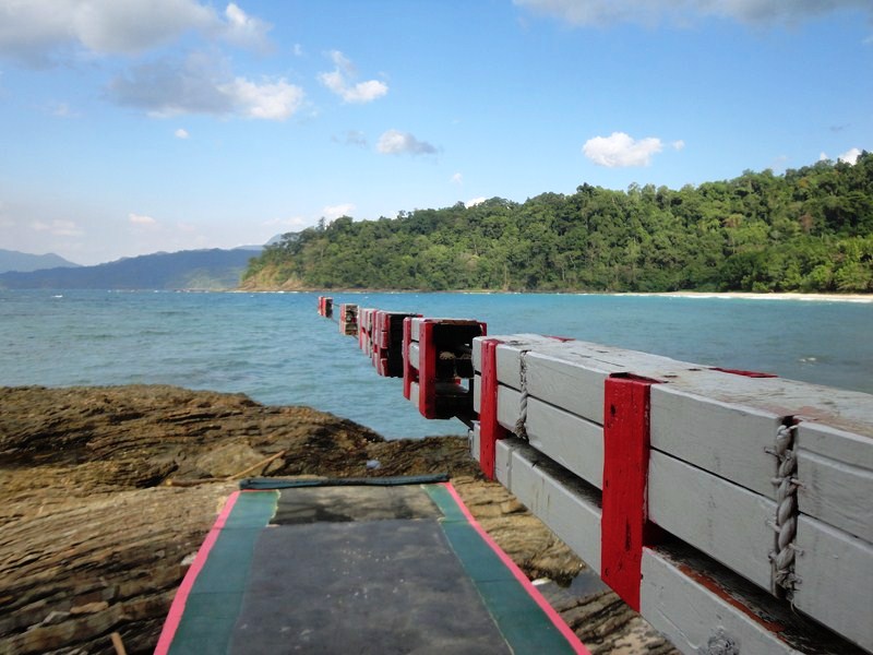
The open-air, above water Rock Bar
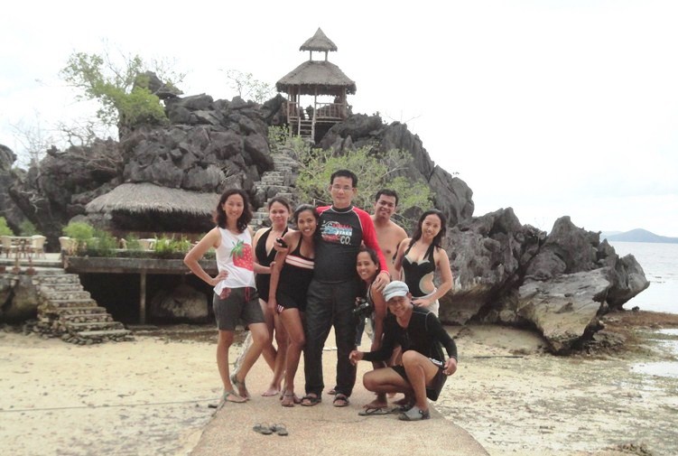
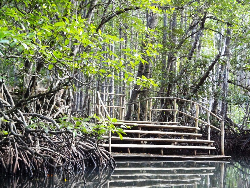
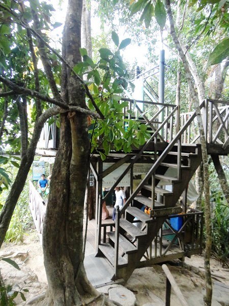
The author and friends at the boardwalk leading to the Rock Bar
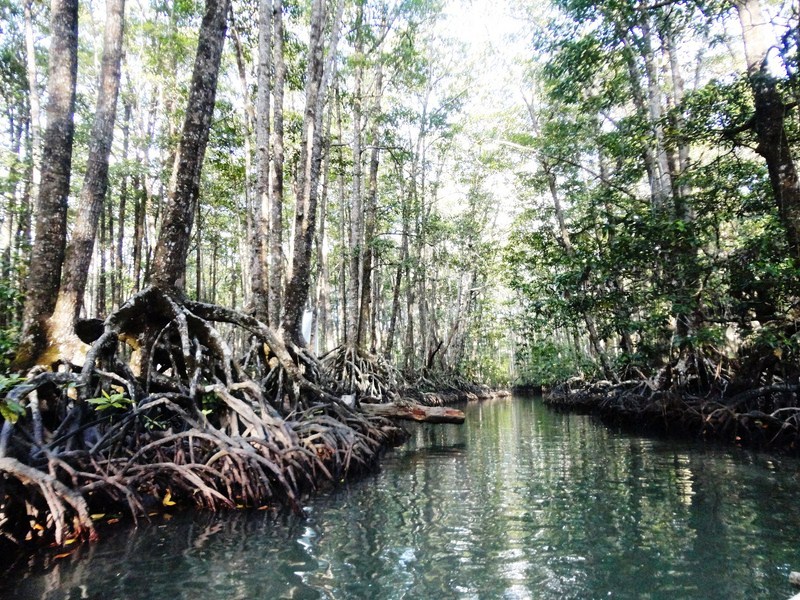
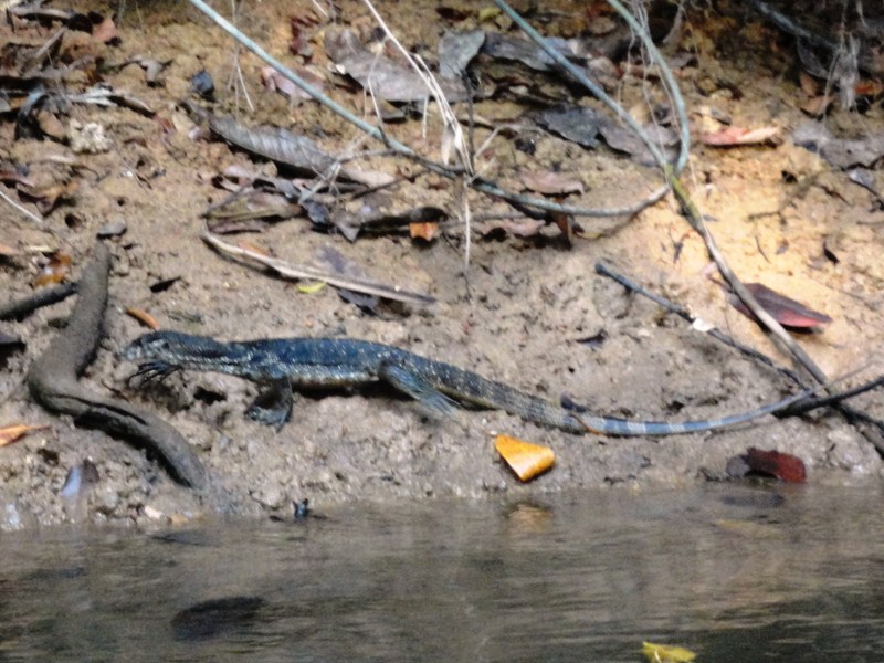
The island’s tropical waters, teeming with colorful aquatic life, is also home to 11 historically important World War II ship wrecks. Ten of them are Japanese warships and supply ships sunk by 24 Curtiss SB2C Helldiver dive bombers and 96 Grumman F6F Hellcat fighter escorts (some carrying bombs) of the U.S. Navy on September 24, 1944. Eight of these are a scant 5 to 30 min. boat ride from the resort’s beachfront.
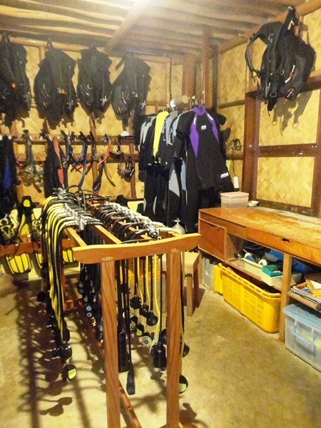
The fully-equipped dive shop
Sangat Island Dive Resort has a internationally-renowned, comprehensive on-site water sports (sea kayaking, jetskiing, windsurfing, Hobie Cats, etc.) and scuba diving center dive facility with knowledgeable dive center attendants and licensed on-site PADI and SDI instructors. They offer a wide range of first-class tanks, wet suits, masks, fins, dive computers, and more, plus an air and Nitrox filling station (powered by dual BAUER K14 compressors) and a brand new LW 280 unit which is combined with a 280 Coltrisub nitrox membrane.
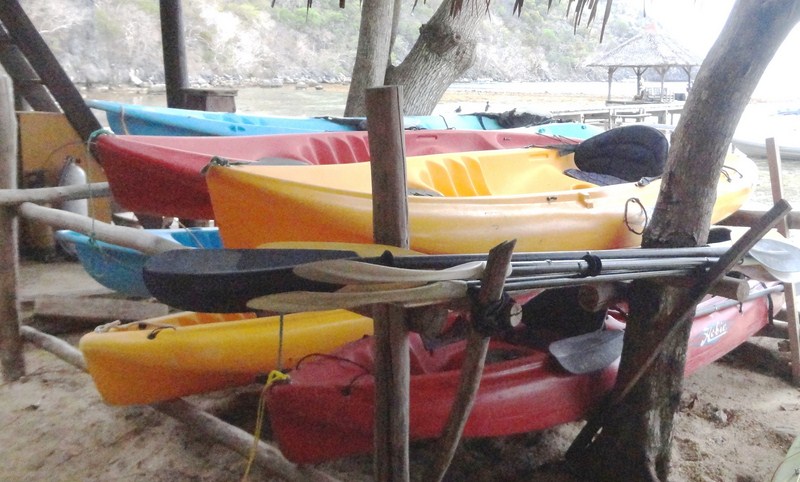
Sea kayaks
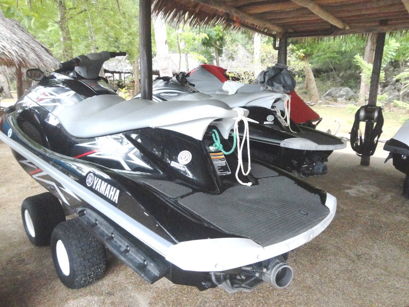
Jetskis
Sangat Island Dive Resort: Sangat Island, Brgy. Bintuan, 5316 Coron, Palawan. Mobile numbers: (0908) 896-1716 and (0916) 400-8801. Website: www.sangat.com.ph,
How to Get There: Sangat Island is a 45-min. motorized outrigger boat ride from Coron town.
How to Get to Coron: Skyjet Airlines has 4 times weekly (Mondays, Wednesdays, Fridays and Sundays, 10:30 AM) flights from Manila (NAIA Terminal 4) to Coron (Francisco Reyes Airport). Travel time is 30 mins.
Asia Grand View Hotel: Governor’s Ave., Jolo, Brgy. 5, Coron, Palawan. Tel:(+632) 788-3385. Mobile number: (0999) 881-7848. E-mail: gsd@asiagrandview.com. Manila sales office: Unit 504, Richmonde Plaza, 21 San Miguel Ave., Ortigas Center, Pasig City. Tel: (+632) 695-3078 and 531-8380. Mobile number: (0917) 550-7373 to 75 Fax: (+632) 695-3078. E-mail: info@asiagrandview.com. Website: www.asiagrandview.com.
Skyjet Airlines: Manila Domestic Airport, Parking A, Terminal 4, NAIA Complex, Brgy. 191, Pasay City, Metro Manila. Tel: (02) 863-1333. E-mail: sales@skyjetair.com. Website: www.skyjetair.com.