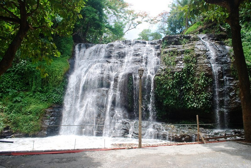
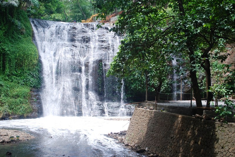
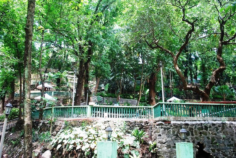
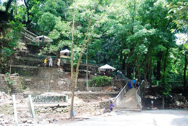
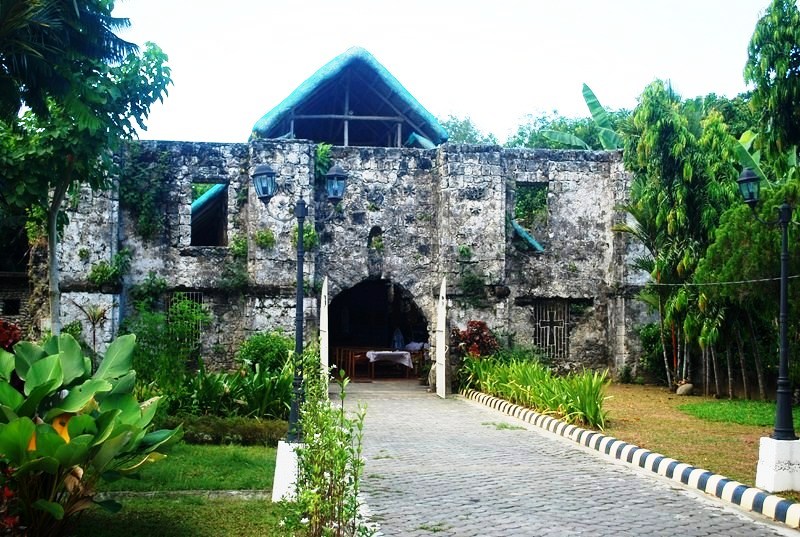
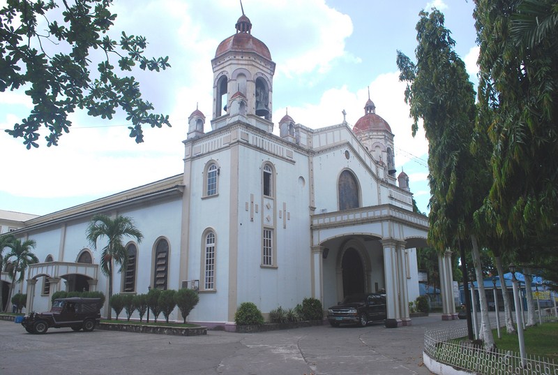
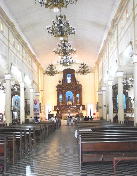
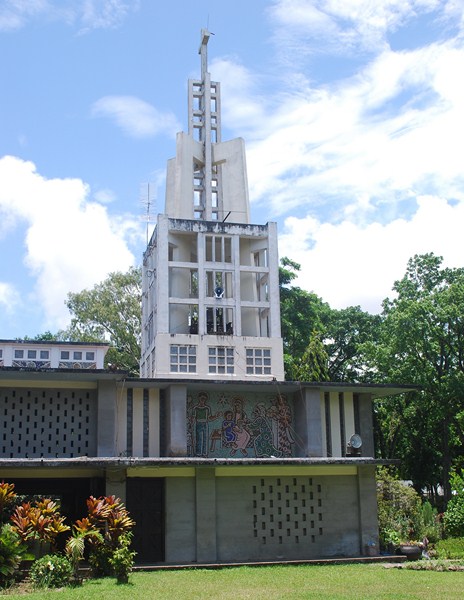
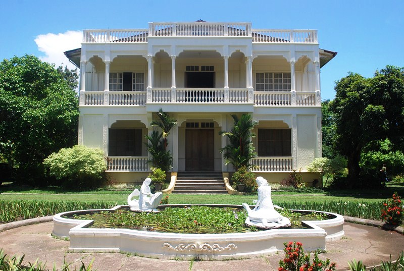
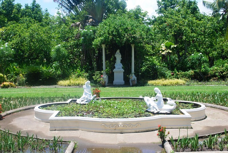
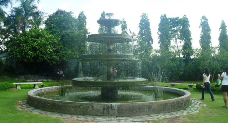
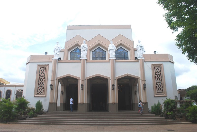
From the Hinulugang Taktak, Jandy and I next proceeded to the nearby Antipolo Cathedral, a favorite pilgrimage site formally known as the Cathedral of the Immaculate Conception National Shrine of Our Lady of Peace and Good Voyage of Antipolo. We were lucky to be able to park at the cathedral grounds and when we entered, a wedding was ongoing.
Cathedral of the Immaculate Conception National Shrine of Our Lady of Peace and Good Voyage of Antipolo
The church was first built from 1630 to 1633 by Jesuit Fr. Juan de Salazar but was burned during the Chinese uprising of November 1639-March 1640. It was rebuilt by Fr. Salazar in 1637 but was destroyed during the earthquakes of 1645, 1824 and 1863. Notable Filipino historians Pedro Chirino and Pedro Murillo Velarde ministered in this shrine.
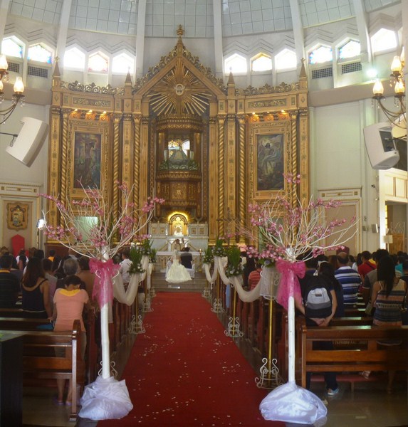
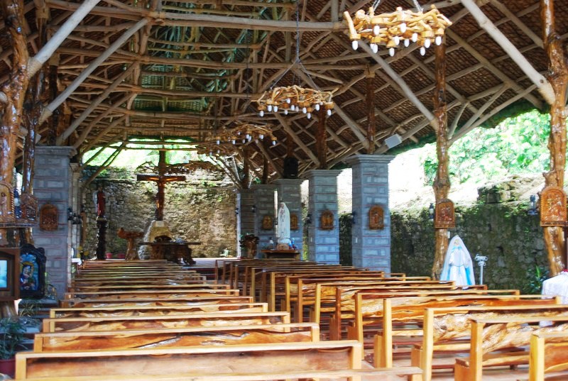
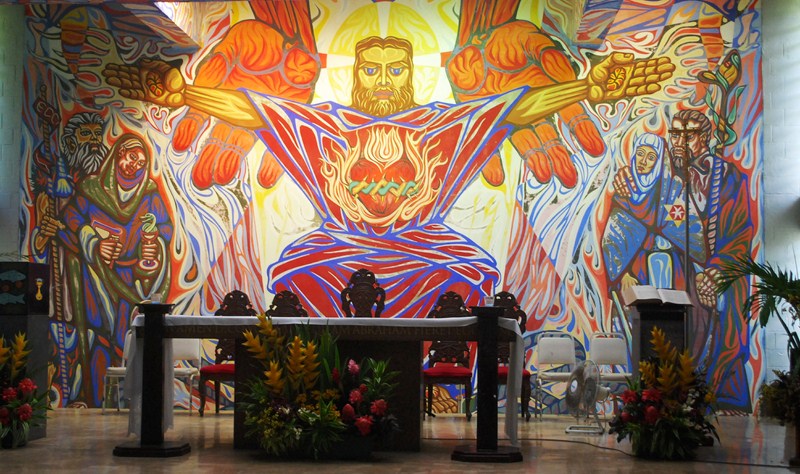
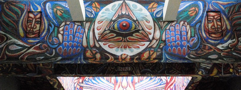
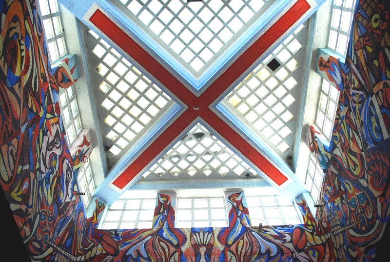
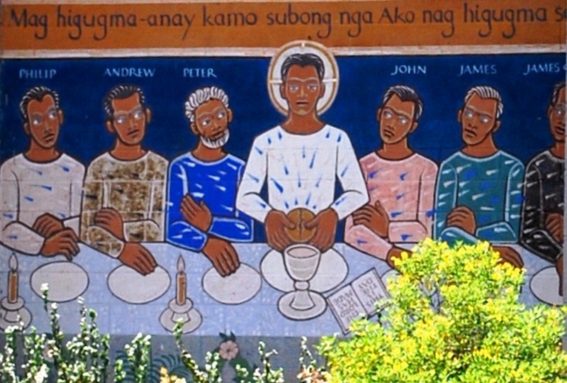
The cathedral interior
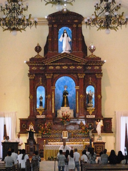
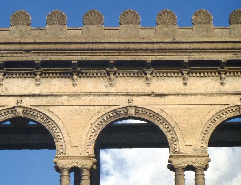
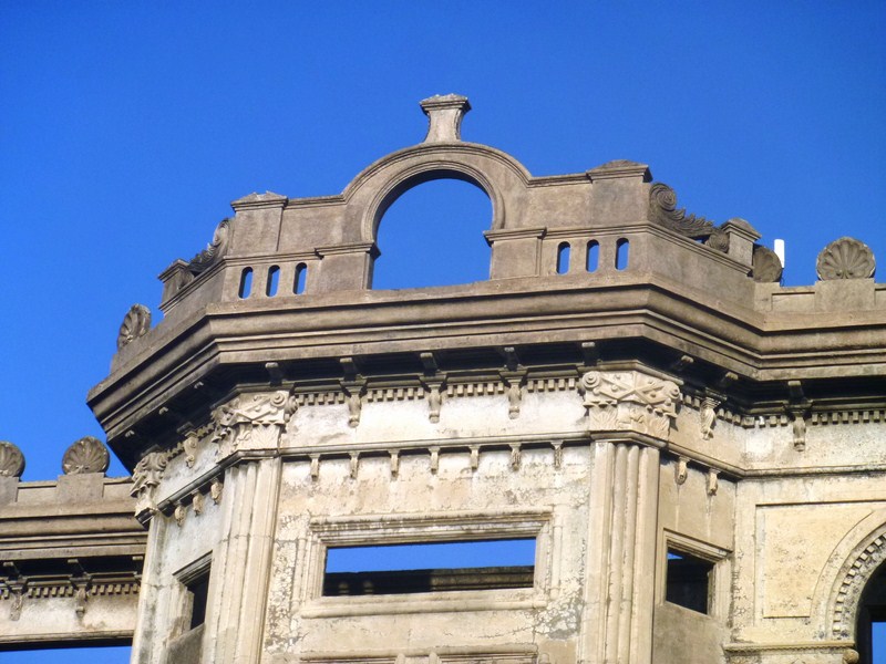
The present church was reconstructed by Msgr. Francisco Avendano and was declared a National Shrine by the bishops of the Philippines in 1954. This modern church, built on the site where the statue of the Virgin was discovered leaning against the trunk of a tipolo (breadfruit) tree (artocarpus incisa), has a circular layout topped by a huge dome and has three main entrances. Gothic influence in the façade is seen from the triangular windows and mouldings. It houses the image of Nuestra Senora de la Paz y Buen Viaje (Our Lady of Peace and Good Voyage).
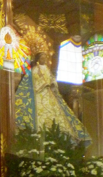
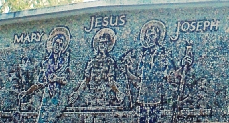
Image of Our Lady of Peace and Good Voyage
The brown wooded statue was brought to Manila from Mexico by newly appointed Gov.-Gen. Don Juan Niño de Tabora in 1626, via the galleon El Almirante, enshrined in St. Ignatius Church in Intramuros and later entrusted to the Jesuits at Antipolo when Gov. Tabora died in 1632. Declared patron saint of the Manila galleons, it made six successful round trips across the Pacific to Acapulco without mishap from 1648 to 1649 (on the San Luis), 1650 (on the Encarnacion), 1651 to 1653 (on the San Diego), 1659 to 1662 (on the San Javier), 1663 (on the Nuestra Señora del Pilar) and from 1746 to 1748 (on the San Jose). On November 26, 1926, the image was canonically crowned, before 100,000 people in the Luneta, by Manila Archbishop Michael J. O’Doherty.
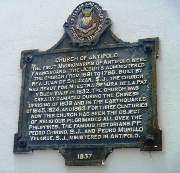
Historical Research and Markers Committee plaque
Cathedral of the Immaculate Conception National Shrine of Our Lady of Peace and Good Voyage of Antipolo: Pascual Oliveros St., Antipolo City, Rizal.