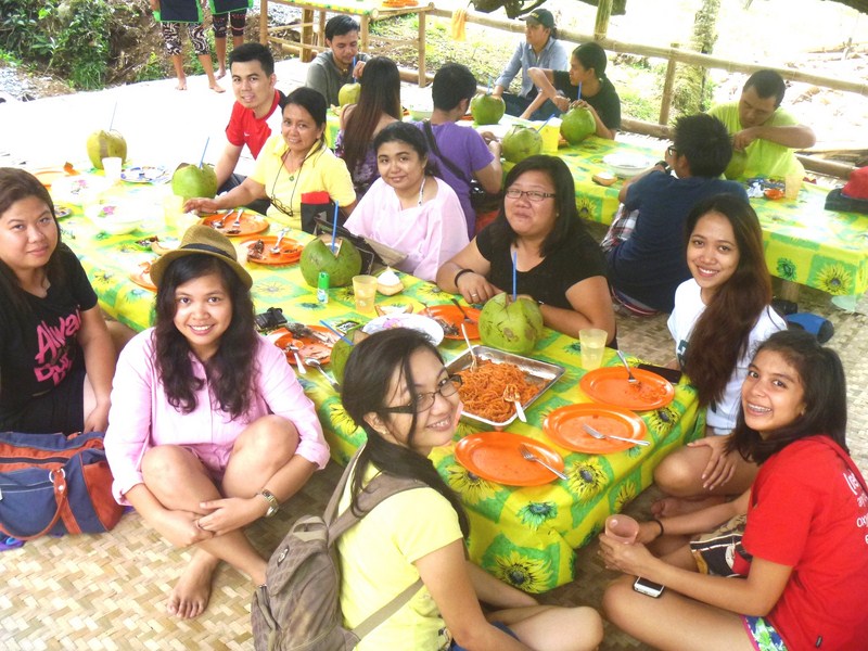
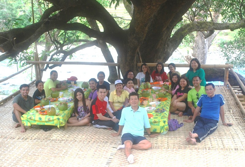
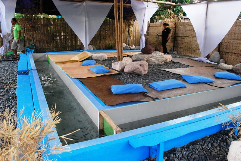
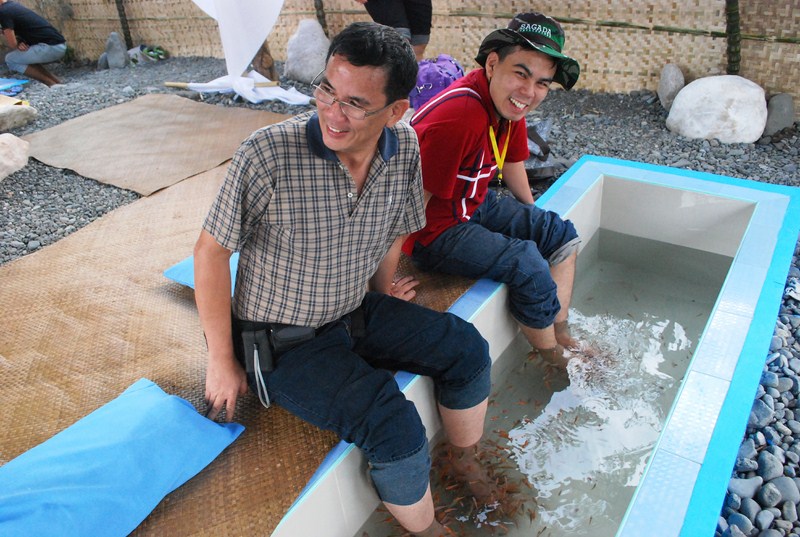
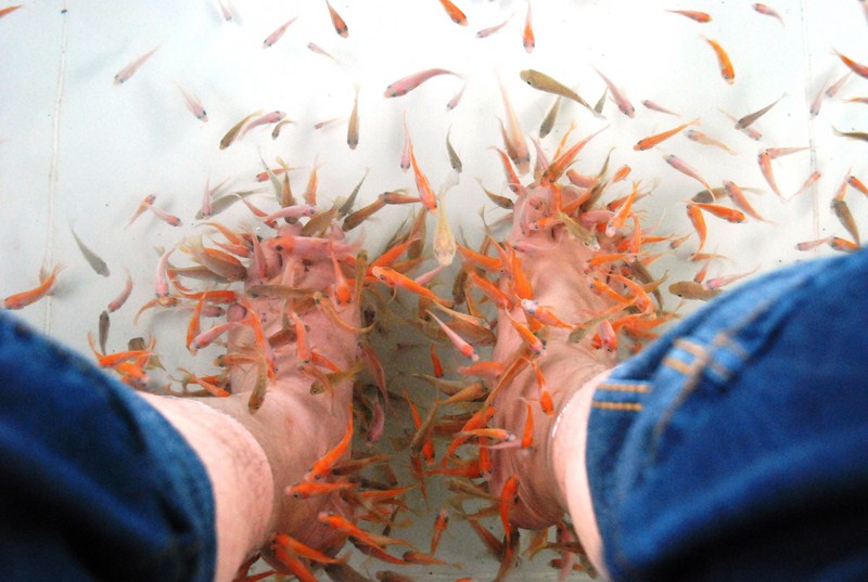
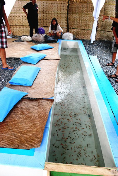
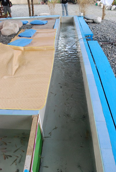
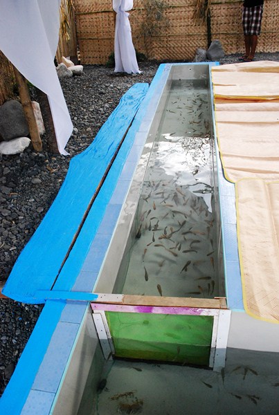
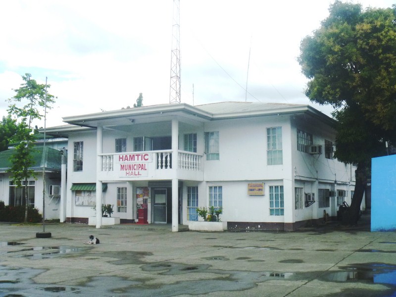
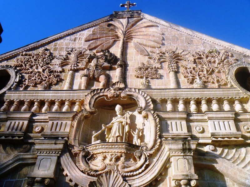
From UA Hometel, we were again driven to Tibiao Fish Spa where we had breakfast. After this, we again boarded our van to the poblacion where we paid a courtesy call on Mayor Gil B. Bandoja at the municipal hall. Day 3 was to be the start of our Tibiao Eco-Adventure Tour and, right after our courtesy call, we proceeded to Zipline Inn where we will have our orientation over cups of coffee. Here, we were warmly welcomed by owners Leslie and Ofelia Gaal.
Check out “Hotel and Inn Feature: Zipline Inn“
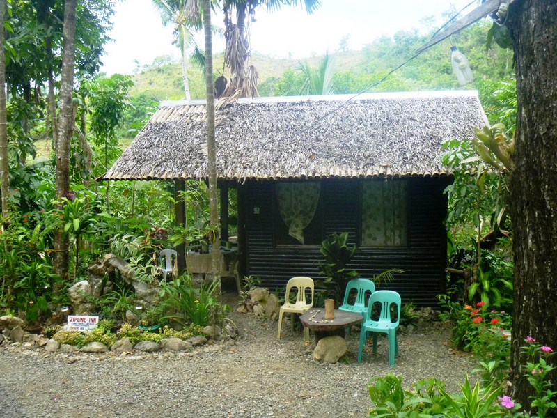
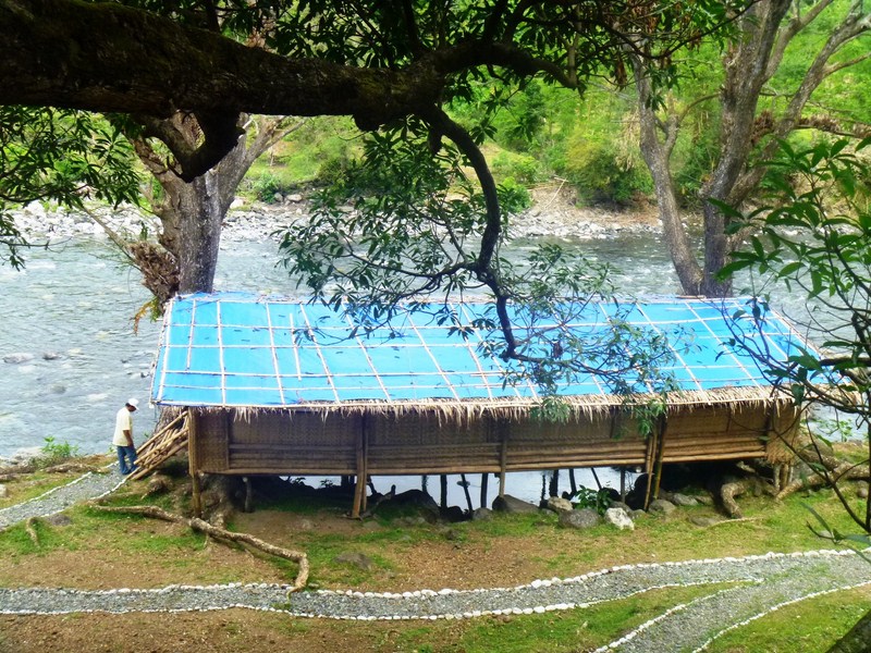
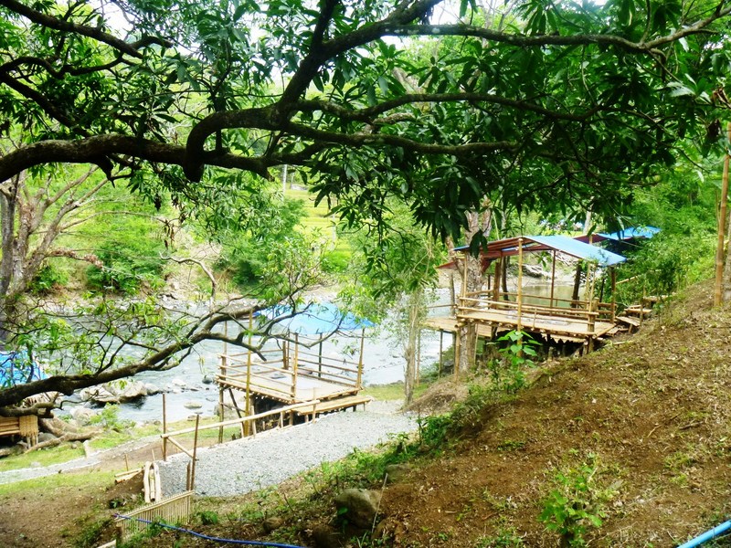
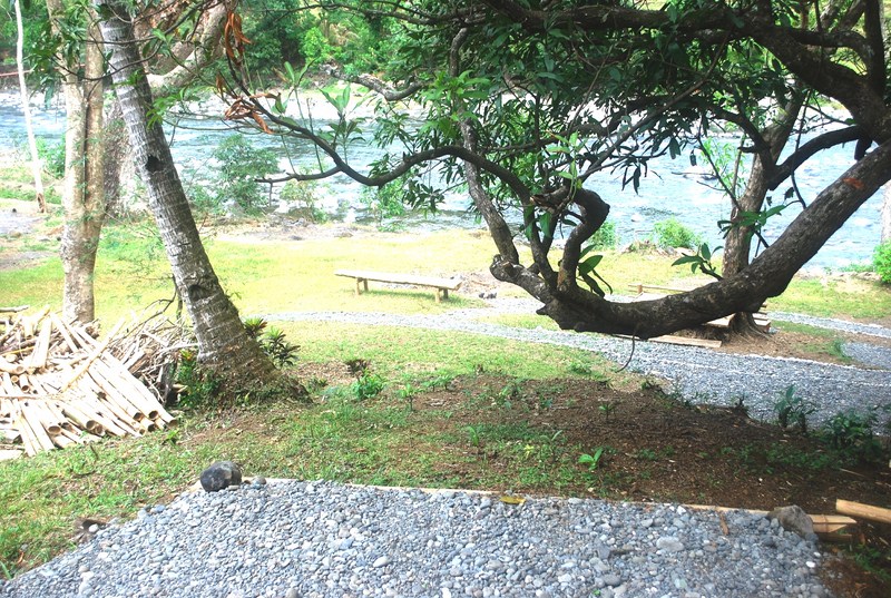
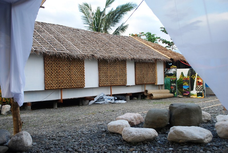
Zipline Inn
The now-retired Leslie, a Canadian citizen of Hungarian ancestry, was a former serviceman and marathon runner. His wife Ofelia (nee Cumla), a native of Tibiao and a cousin of Flord and Leah, convinced Leslie to retire here and build an inn on their 1,800 sq. m. lot.
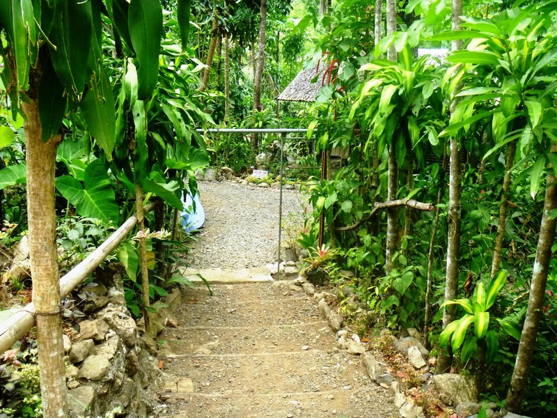
From the road, steps lead down to the inn
Both philanthropists, they also financed the hanging bridge over the Tibiao River that connects Sitio Malakagat with the rest of the town. Before the hanging bridge was built, flooding along the river, during the rainy season, prevented the townspeople from selling their produce or children from going to school. The couple also own the 4.7-hectare property that includes Bugtong Bato Falls, Peter’s Lodge and Bugtong Bato Falls Inn.
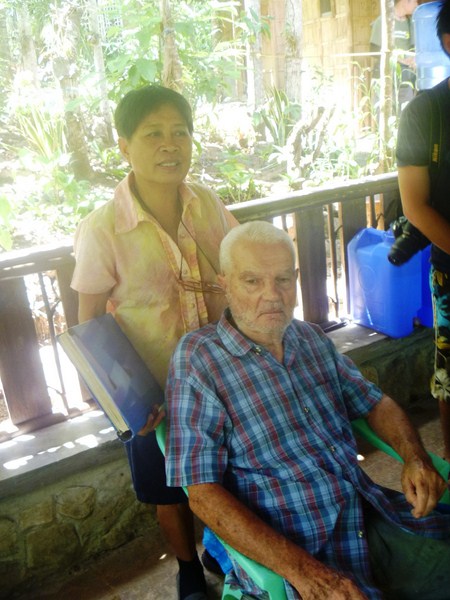
Ofelia and Leslie Gaal
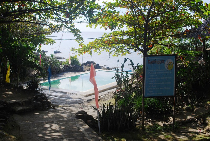
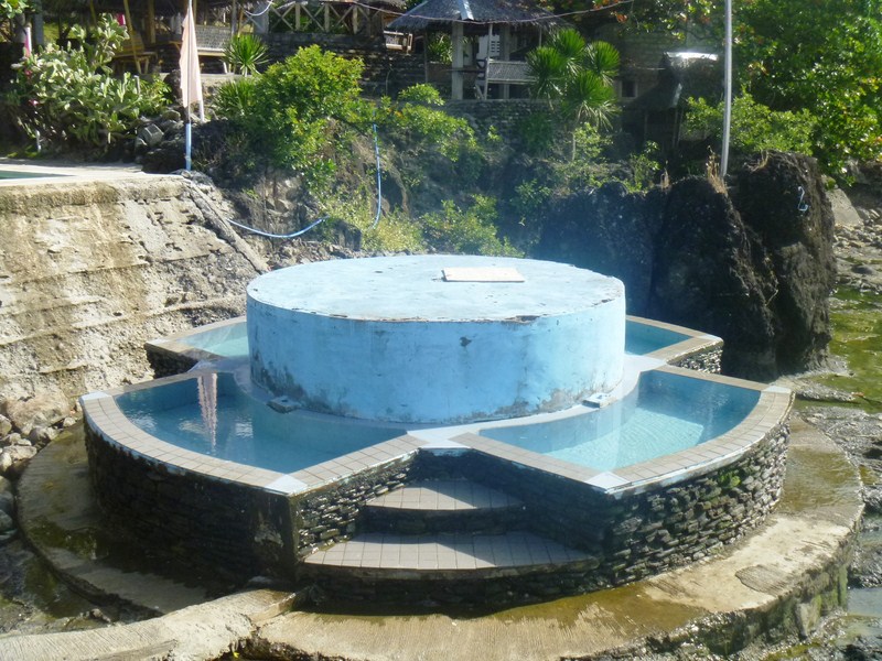
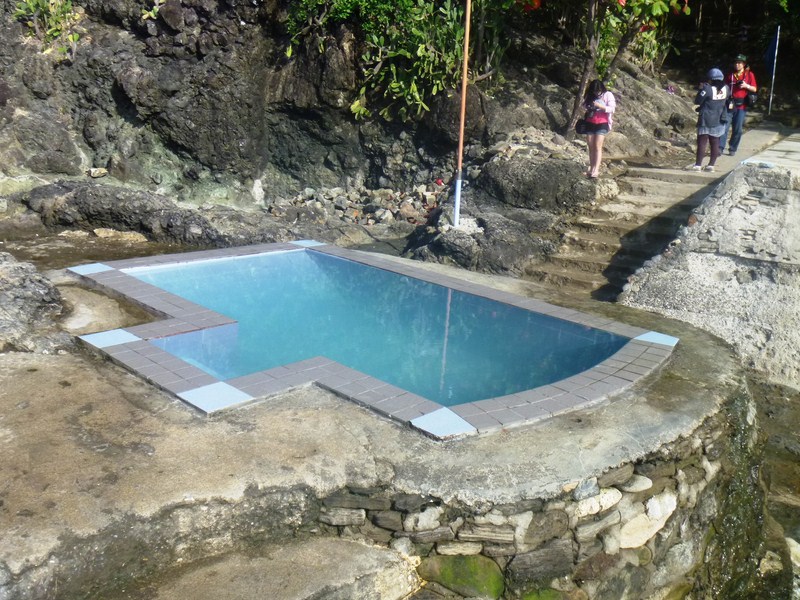
Zipline Inn is named as such because of the adjacent zipline facility of Tibiao Eco-Adventure Park. The inn is also the gateway to Tibiao’s many eco-adventure activities – hiking to the aforementioned Bugtong Bato Falls; kayaking at the Tibiao River; zipling and wall climbing at Tibiao Eco-Adventure Park; and popular kawa hot bath at Kayak Inn as well as in Bugtong Bato Falls Inn.
Zipline Inn: Brgy. Tuno, Tibiao, Antique. Mobile numbers: (0920) 499-6903 and (0919) 579-5436.
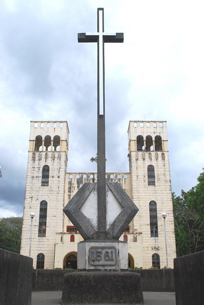
How To Get There: Tibiao is located 73 kms. from San Jose de Buenavista, 12.6 kms. from Barbaza, 17 kms. from Culasi and 89 kms. from Brgy. Caticlan (Malay, Aklan).