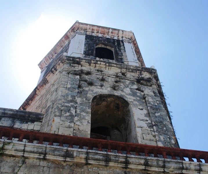
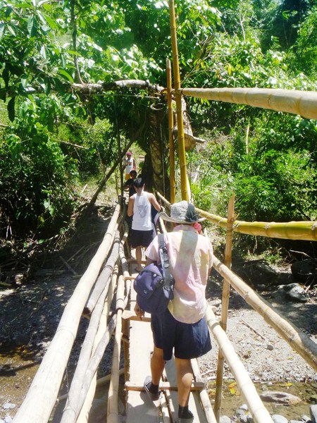
On your way to Iloilo International Airport, we again passed the town of Miag-ao. Here, we made a short stopover at Taytay Boni, a Spanish-era bridge that once passed through a creek and connected Miag-ao with Guimbal, before the construction of the national highway.
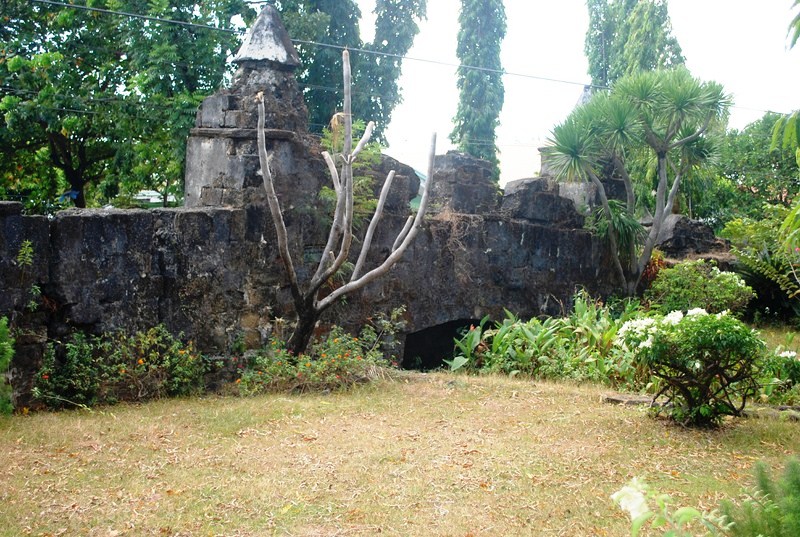
Taytay Boni
Now enclosed within a small park, this stone bridge’s name was derived from the Ilonggo term taytay (meaning “ bridge”) while “Boni” is the name of its construction foreman and cantero-mayor (major carpenter) Bonifacio Neular.
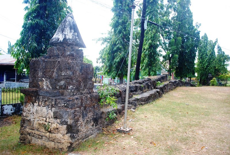
It was built in 1854 through forced labor, during the term of gobernadorcillo Miguel Navales. The large, yellow-colored coral stone slabs (tablea or tabreha) used for its construction were transported from Igbaras, located 5 to 6 kms. from the site, by means of karosas, sleds pulled by carabaos. Lime was used to hold the stone slabs together.
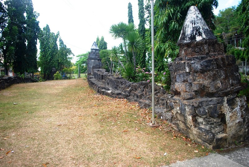
The bridge was still passable before and after the World War II but was partly damaged during the January 25, 1948 Lady Caycay (magnitude 8.2) earthquake. The bridge now rests on dry land, a result of the ground opening up during the earthquake and sucking in large amounts of water. The bridge is located at Crossing Kamatis, about a kilometer from the town proper, between Brgys. Kirayan Sur and Igtuba.
How To Get There: Miagao is located 40.04 kms. from Iloilo City, 12.2 kms. from San Joaquin and 8 kms. from Guimbal.