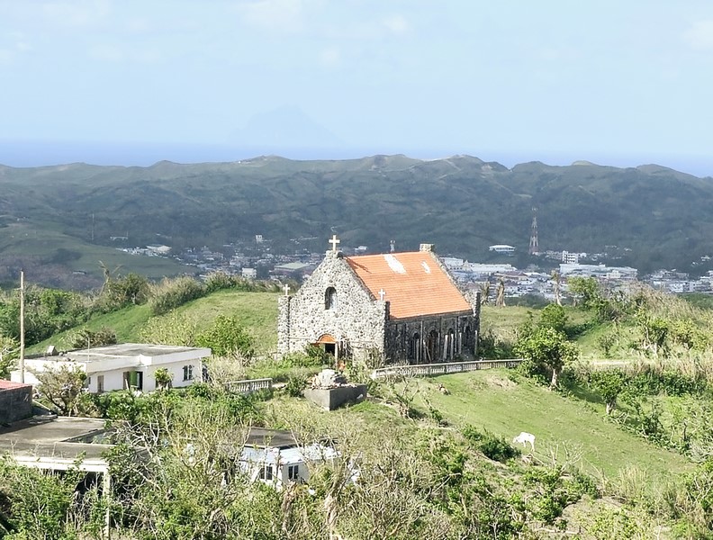
Dipnaysuhuan Japanese Tunnel
After our tour of the PAGASA Radar Station, we again boarded our van for the short drive to the Dipnaysuhuan Japanese Tunnel, making a short stopover to see the Basco idjang. This was my second visit to both.
Check out “PAGASA Radar Station” and the “Idjangs of Batanes”
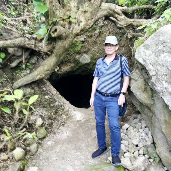
The author at second lower level tunnel entrance
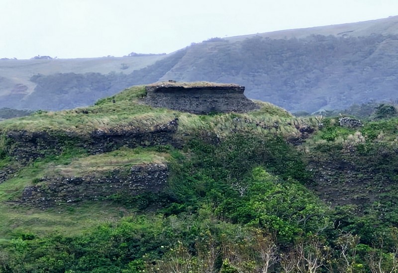
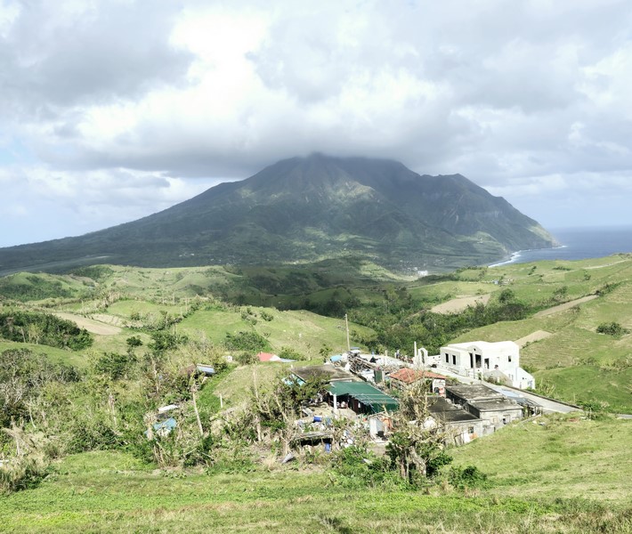
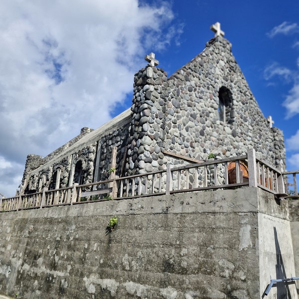
This abandoned 250-m. long interconnected network of six 8-ft. high and 6-ft. wide bat-filled tunnels running deep in the Tukon Hills, carved by local Ivatans out of volcanic rocks and plastered with cement, served as a shelter and lookout for Japanese soldiers during World War II (1941 to 1945).
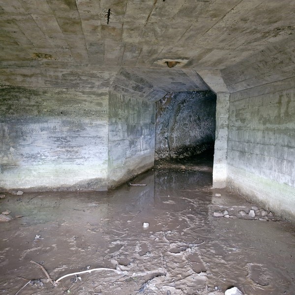
Water-logged and muddy interior of first lower level tunnel entrance
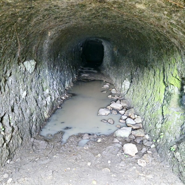
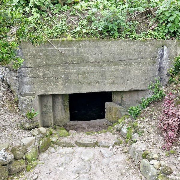
Moss-coated, water-logged and muddy inter of second lower level tunnel entrance
It has a series of chambers, bunkers, a water reservoir and five openings; three on the upper level (serving as observation points overlooking Baluarte Bay) and the remaining two are on the lower levels. A concrete bunker on top of the network served as a machinegun nest.
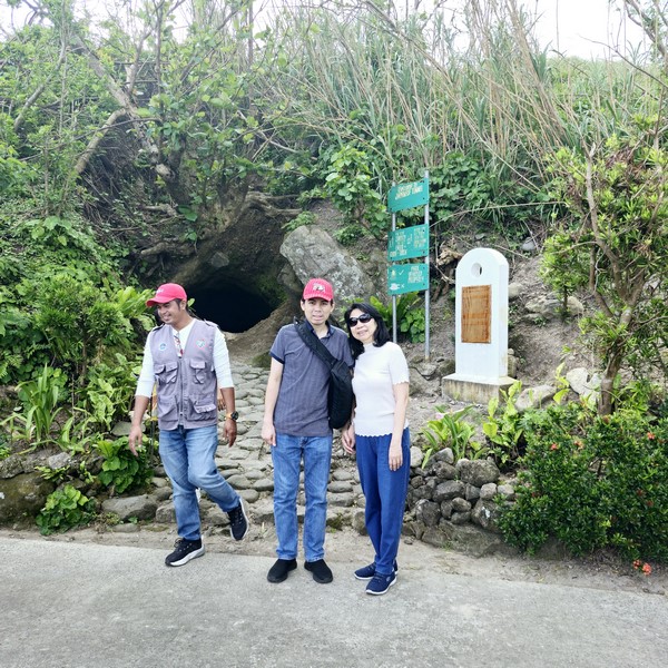
L-R: our guide Harvey Gutierrez, Jandy and Grace
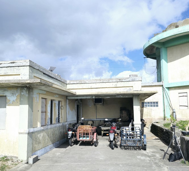
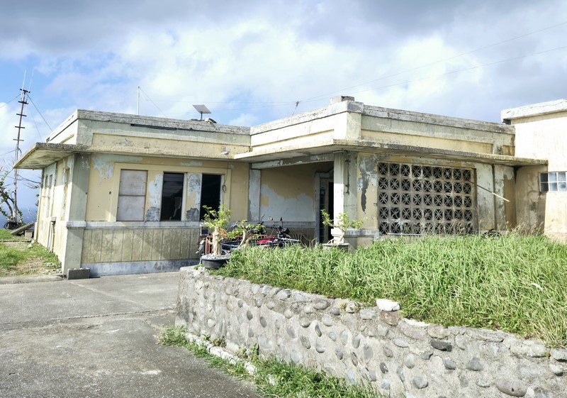
We were able to see the two openings on the lower level along the road but didn’t bother to enter the tunnels as it muddy and water logged inside both openings.
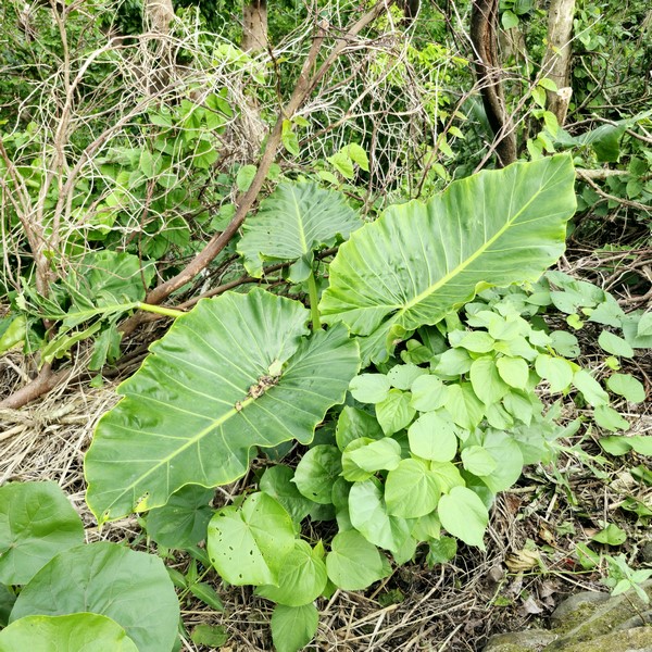
Breadfruit (Tipuho)
Lining the road are a number of breadfruit trees, arius (Podocarpus costalis) trees and angel,s trumpet (katuvang). The very popular breadfruit, sometimes called abaya or bread leaves, is used to wrap cooked food with (much like the usual banana leaf), giving it a mild aroma and flavor.
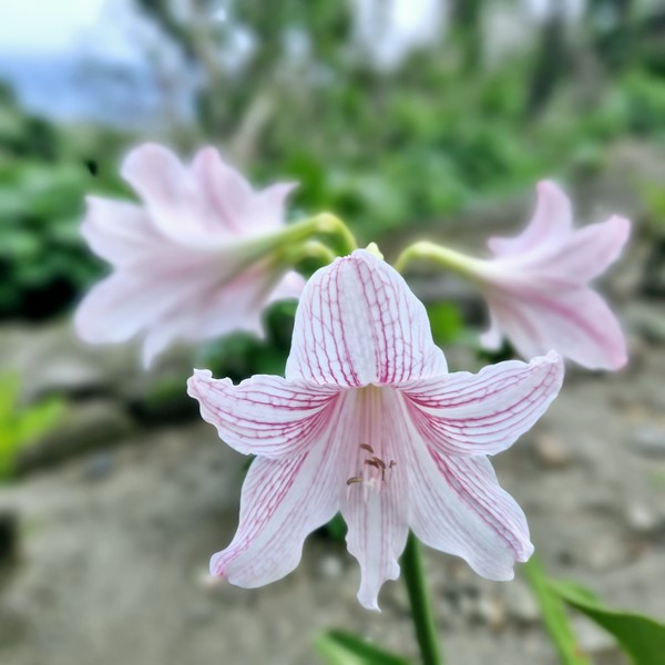
Angel,s Trumpet (Katuvang)
The endemic arius, an excellent ornamental tree, bears edible berries (comparable to that of the duhat) during the months of July to October.
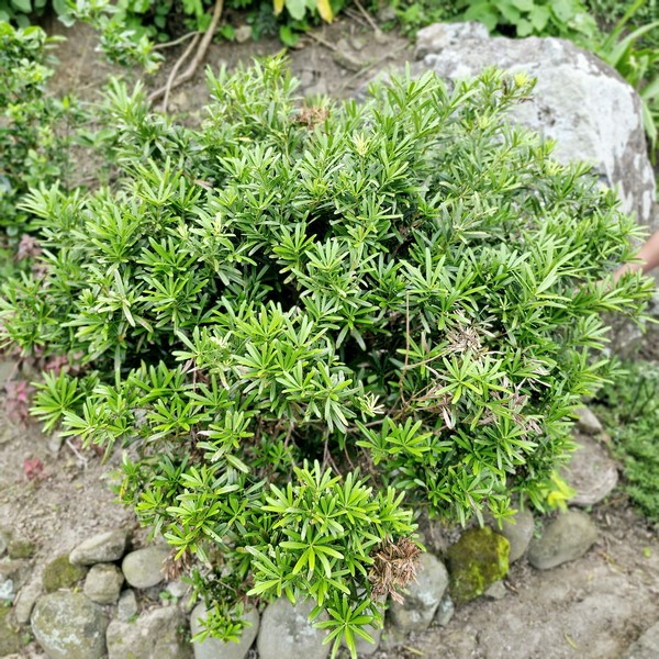
Arius (Podocarpus costalis)
Dipnaysujuan JapaneseTunnels: Tukon Hills, Sitio Tukon, Brgy. Chanarian, 3900 Basco. Open daily, 8 AM to 4 PM. Admission is free.
How to Get There: Located on Mt. Iraya, below the idjang of Basco, it is along the route from Radar Tukon weather station to Valuga Boulder Beach and is accessible via the Vajangshin Road. The quickest route is via tricycle, from Basco town, to Dipnaysupuan Japanese Tunnel. For a more convenient trip, join a Batanes guided tour that includes this tourist spot. Bring a reliable guide and a lamp. From Basco town, head north toward Contra Costa Rd., continue to La Fuenta St., and turn left to National Rd. Continue straight. Japanese Tunnel is on the left side.