Rizal Shrine
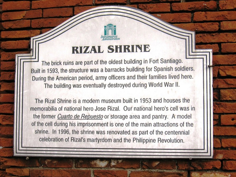
National Hero Jose Rizal was imprisoned in an improvised “chapel cell” on one corner of its ground floor at the fort’s eastern side. Here, he was held for two months prior to his execution (November 3 to December 29, 1896) when his sentence was read at 6 A.M.. He also wrote his “Mi Ultimo Adios” (“My Last Farewell”) in this cell. As a prisoner condemned to death, he was moved into this church-like setting for spiritual contemplation. He was never confined in a dungeon unlike captured Katipunan members.
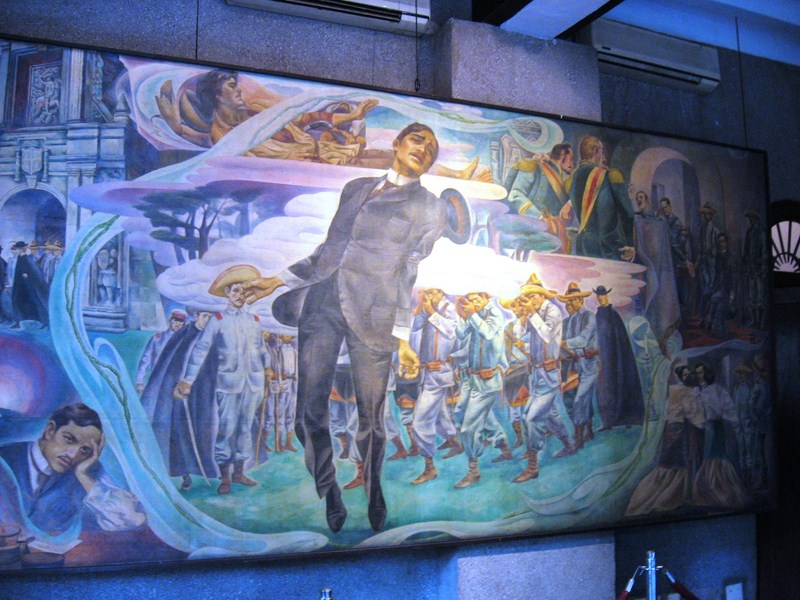
Rizal’s Execution (Carlos Botong Francisco, 1961)
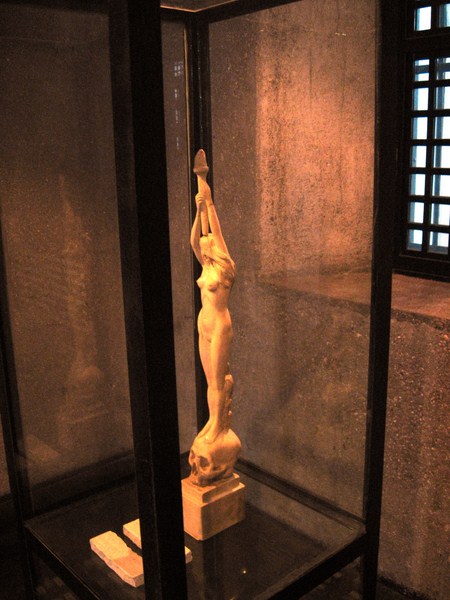
Triumph of Science Over Death
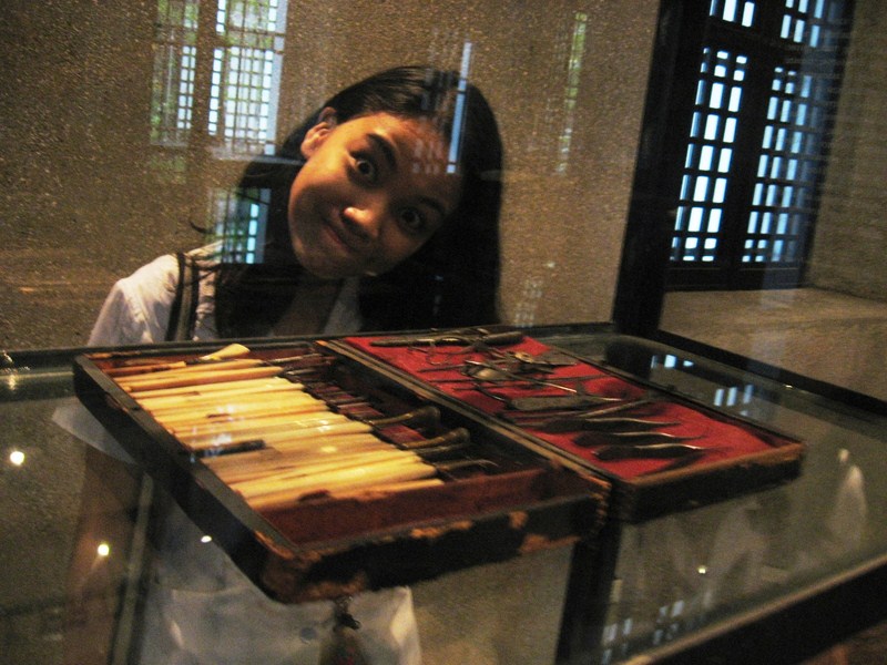
Rizal’s Opthalmological Instruments
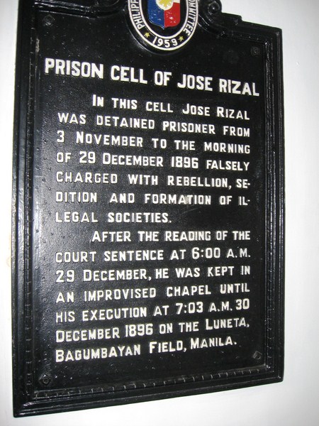
PHC Plaque
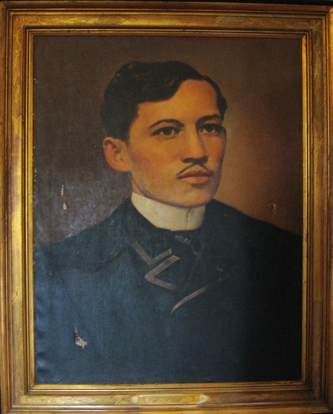
Portrait of Rizal at Stairwell Gallery
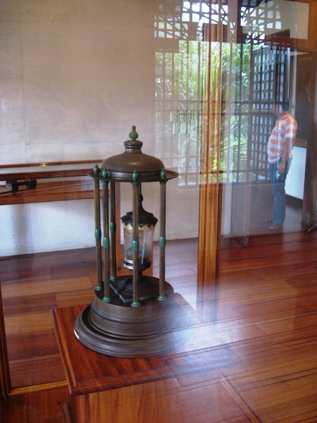
A Glass Urn With a Piece of Rizal’s Vertebra With Bullet Wound
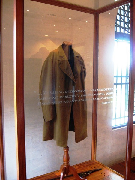
Rizal’s Cerrada Coat
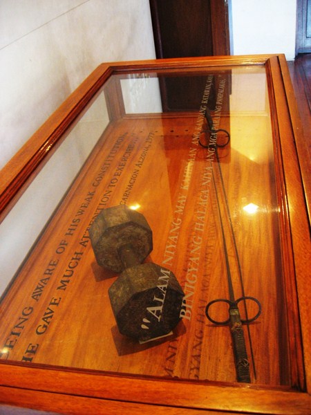
Rizal’s Dumbbell and Fencing Sword
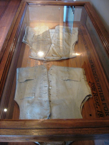
2 Vests Made By Rizal’s Sisters
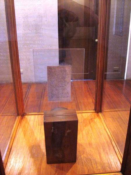
Rizal’s Original Mi Ultimo Adios
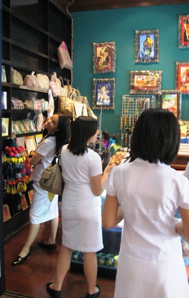
Museum Shop
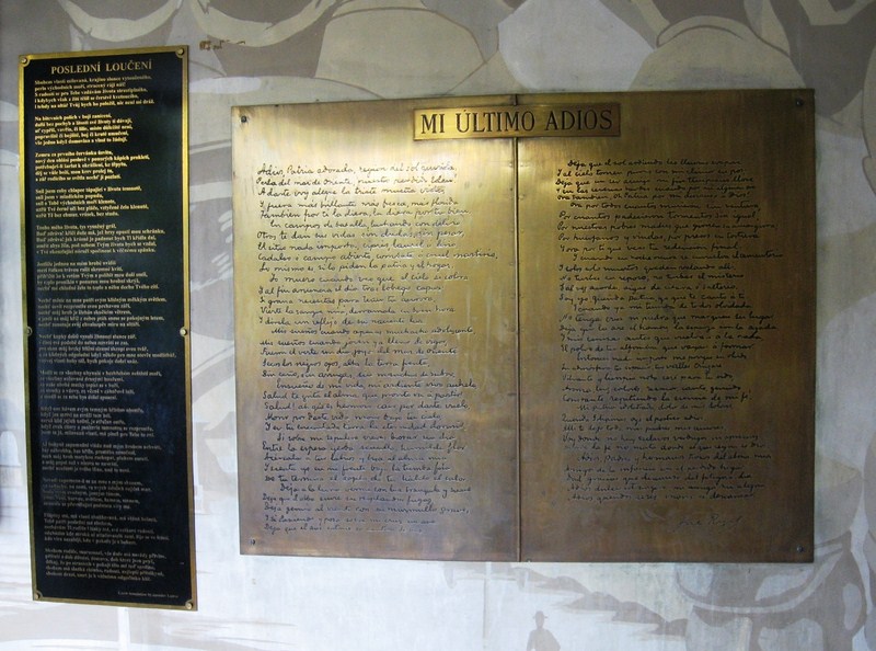
Czech and Spanish version of Rizal’s “Mi Ultimo Adios”
.JPG)
.JPG)


.JPG)
.JPG)
.JPG)


.jpg)


.JPG)
.JPG)
.JPG)
.JPG)
.JPG)
.JPG)
.JPG)
.JPG)

.JPG)
.JPG)
.JPG)
.JPG)