Thommanon Temple (Siem Reap, Cambodia)

Thommanon Temple

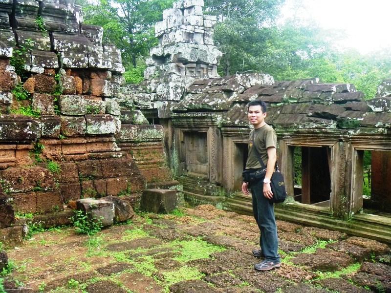
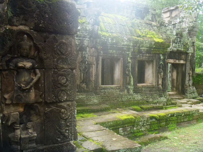
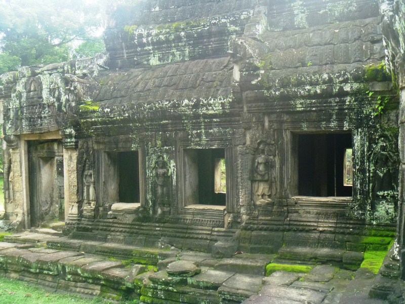
The small and elegant, single-towered Thommanon Temple, one of a pair of Hindu temples built during the reign of Suryavarman II (1113–1150), is located east of the Gate of Victory of Angkor Thom, north and direct opposite of Chau Say Tevoda, around 100m away from the ancient bridge called Spean Thma and  500 m. east of the Victory Gate (just a few minutes off Victory Way just before you reach the Siem Reap River) on the way to Ta Keo. The temple, dedicated to Shiva and Vishnu, is part of the UNESCO World Heritage Site (inscribed by UNESCO in 1992 titled Angkor).

Check out “Chau Say Tevoda

Like the other temples in the region, it’s believed that Thommanon was deserted at some point in the 16th century. In the 1960s, a full and extensive restoration, funded by the École française d’Extrême-Orient (EFEO), was undertaken by French archaeologists who restored the temple and added concrete ceilings.

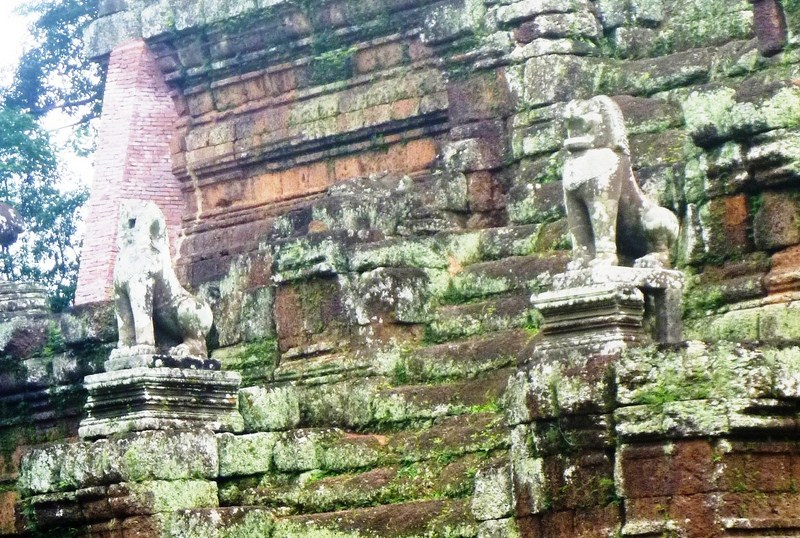
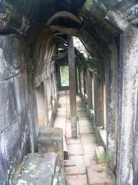
Thommanon has an east-facing central sanctuary, crowned by a tower (prasat), which can be accessed, from the east, via an entrance building (gopura), and a smaller antechamber (mandapa). The tower’s architectural style is similar to that of the Angkor Wat temple and the nearby Chau Say Tevoda.  However, though similar in design, Thommanon is better preserved than Chau Say Tevoda, attributed to the fact that its superstructure does not have stone-enclosed wood beams.

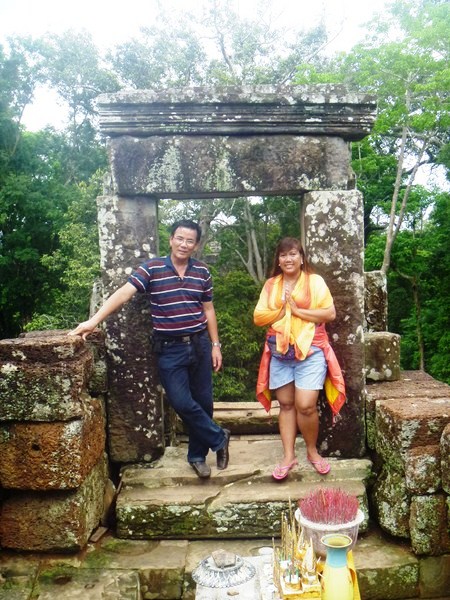
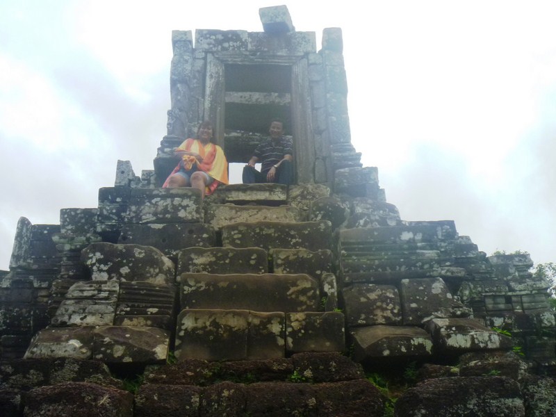
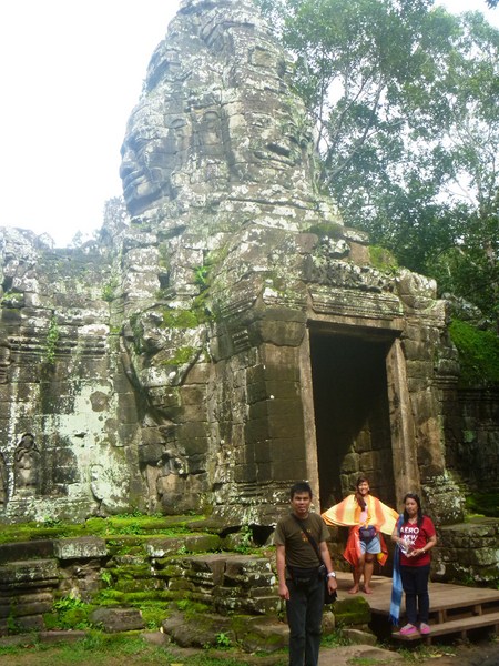
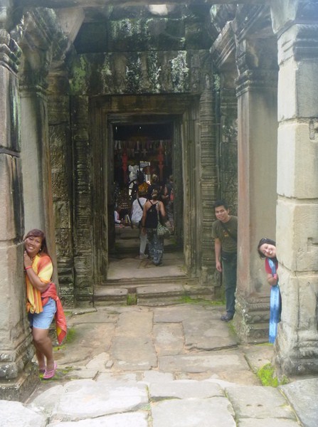
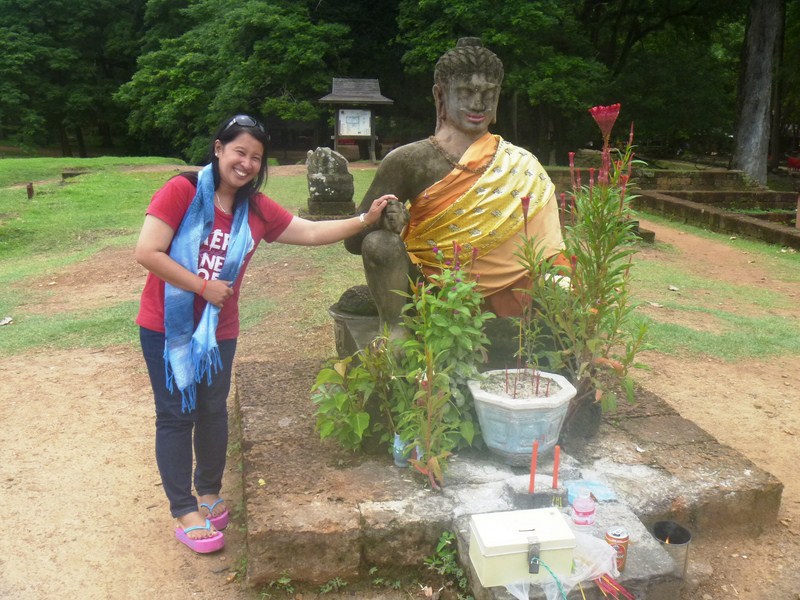
Violet and Osang at Thommanon Temple

The temple’s adoption of sandstone (which provides a distinct contrast to the surrounding jungle) as the medium for its very well preserved carvings has made it more advanced, in its architectural design, vis-à-vis other mostly wood-based temples in its vicinity. All of its doorways include carved pediments.

However, only the entry gates on the east and the west and the central tower of the main temple are all that remains. The compound walls around the temple have all but disappeared.

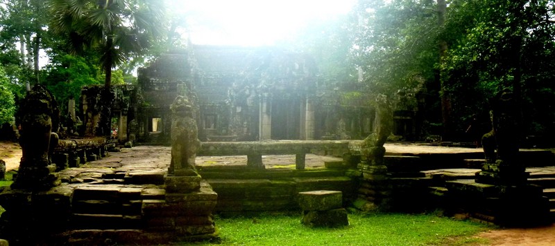
The Library

Thommanon and Chau Say Thavoda were inferred to have been interlinked to the central tower under one large compound with large gates. The independent library building was separated from the main temple.

As in other Khmer temples, images of devatas, the distinctive carvings of divine female figures which include flower crowns, Cambodian skirts (sampots), necklaces, armbands, belts and ankle bands, are the centre of attraction in Thommanon and are seen in profusion here. The mudras displayed are complex.

The devatas very distinctively grip the flower in a position called by one Angkor researcher as the devata mudra, holding the ring and middle fingers against the thumb, while the index and small finger are extended.  This position is also prominent at Angkor Wat. Some believe that the devatas, indicate that they were built during the reign of Jayavarman VI (1080–1113 AD), some time at the end of the 11th century. However, after studying the devatas in Thommanon, there is greater agreement among scholars that it was built by Suryavarman II around the time of Angkor Wat and Beng Mealea from 1113 to 1150 AD.

Check out “Angkor Wat

Thommanon Temple: Angkor, Krong Siem Reap, Cambodia.

Chau Say Tevoda (Siem Reap, Cambodia)

Chau Say Tevoda

Chau Say Tevoda (literally: prolific grandchildren of a deity), a Hindu temple dedicated to  predominantly Hindu deities such as Shiva and Vishnu, is located just 500 m. (1,600 ft.) to the northeast of east gate of the ancient capital Angkor Thom and directly south of Thommanon (the temple is on its opposite side of the road) across the Victory Way (it pre-dates the former and post-dates the latter).  Unique devatas (types of female sculptures) and Buddha images are enshrined in it.

Check out “Thommanon Temple

Thommanon and Chau Say Tevoda, both similar in plan and stylistically belonging to the best period of classic art, represent two variations of a single theme of composition. However, Chau Say Tevoda is more deteriorated than Thommanon Temple.

Here is a historical timeline of the temple:

  • It was partly built in the mid-12th century in the Angkor Watperiod during the reign of Hindu King Suryavarman II.
  • During the reign of Dharanindravarman (father of Jayavarman VII, who ruled from Preah Khanof Kompong), representations of Buddha  images were built.
  • During the reign of Jayavarman VII, further supplementation of structures was done.
  • In the 16th century, like most of the temples in the area, the temple was abandoned at some point.
  • In the late 19th century, Chau Say Tevoda was rediscovered by French explorers.
  • Between 2000 and 2009, under a project sponsored by the People’s Republic of China, a Chinese team carried out restoration work, using many of the 4,000 elements lying scattered on the embankment and in the Siem Reap River.
  • In late 2009, the temple was reopened and is now fully accessible.

We entered and left Chau Say Tevoda via the north entrance. Walking towards the temple, we can see traces of a moat and vestiges of a laterite base of an enclosing wall.

About 200 m. (660 ft.) from the temple is a bridge, without a river flowing beneath it (in view of the shifting nature of the course of the Siem Reap River), built with carved stones from temple ruins in the vicinity.

Chau Say Tevoda, similar to Hindu temples built in India (particularly in Odisha), has a cruciform plan and is linked to an entrance hall. The temple, with four gopuras (towers) on the four cardinal signs, has an entrance from the east though a raised bridge. The gopuras and central chamber of the temple are linked by a long hall decorated with a very elegant pattern of flowers inscribed in squares and sculpted with stone flowers similar to those seen at Banteay Srei and Baphuon.

Check out “Baphuon Temple

The temple, consisting of a central tower with an attached mandapa(achieved through a small antarala chamber), has two libraries on its southern and northern sides and is enclosed by a compound wall with four gopuras. A raised causeway, on three rows of octagonal supports (later than the monument) to its east, leads to the Siem Reap River.

Shiva is the main deity of the temple. Many of the sculptures, depicting Vishnu, are in a fairly good condition. Totally disfigured and defaced sculptures of Buddha, deified in a lotus posture and flanked by devotees, are in a mandapa behind a pediment from the entrance door which leads to the antarala. With time, its ceiling has collapsed, leading to further deterioration.

The incomplete eastern Gopura I, oriented in the western direction, has a roof which is part of the not fully restored second “pediment of the lateral southern extension.”  A Buddha, the main figure here, is in a cross legged posture and seated on a high platform flanked by disfigured carvings which are interpreted as that of Garuda and the king of Nagas.

The top pediment of Gopura I, with a figure of Buddha, has the umbrella cover of a Bodhi tree. Carvings, depicting episodes from the life of Buddha, can be seen on the northern door of the eastern Gopura I. The notable bas-relief  of Sita, heroine of the epic Ramayana, can be found here in a seated posture over an altar flanked by rakshasis (female demons). Facing Sita is the carved Hanuman, in a small monkey form and in sitting posture, offering her Rama‘s ring. A wall enclosing the temple in the past, built with laterite stones, has disappeared.

Osang making an offering

Chau Say TevodaAngkor, Cambodia.

How to Get There: from Angkor Thom, you can reach Chau Say Tevoda by exiting through the Victory Gate along Victory Way. Alternatively, you can head east from Angkor Wat to Srah Srang. From there, turn left and then, after  Ta Prohm temple, turn right. Follow the road to the left and go across the Siem Reap River. You’ll see the temple on the left side. It’s also not too far from the town, so it’s easily accessible by bicycle, tuktuk and taxi.

Baphuon Temple (Siem Reap, Cambodia)

The beautiful, three-tiered Baphuon Temple

The  beautiful Baphuon, a three-tiered sandstone temple mountain built as the state temple of Udayadityavarman II and dedicated to the Hindu God Shiva, symbolically represents the sacred, 5-peaked Mt. Meru important in both Hindu and Buddhist cosmology.  Probably among the most impressive of the Angkor temples in its day, this temple is located approximately 200 m. northwest of the Bayon.

Check out “Bayon Temple

It was built in the mid-11th century (before the city of Angkor Thom was established) and is the archetype of the Baphuon style of design, with beautiful, intricate carvings covering every available surface including both realistic and fanciful depictions of lotus flowers, wild animals and hunters, devata figures, men in battle as well as carvings with indirect references to Hindu mythology and scenes illustrating epic poems such as the Ramayana.

Baphuon is part of the Angkor Small Circuit which takes you to all the “must-see” temples within the enormous Angkor Archaeological Park.  There are three enclosures in the Baphuon temple complex. The pyramid-style temple, situated on a high base adjoining the southern enclosure of the royal palace, measures 120 m. east-west by 100 m. north-south at its base and stands 34 m. tall without its original tower (which would have made it roughly 50 m. tall).

In the late 15th century, the Baphuon was converted into a Buddhist temple and a 9 m. tall by 70 m. long statue (one of the largest in Southeast Asia) of a reclining Buddha  was built on the west side’s second level.  To supply stones for the statue, this probably required the demolition of the 8 m. high bronze tower above (thus explaining its current absence).

The elevated sandstone walkway leading to the temple

Throughout its history, the temple’s site was unstable due to its immense size and it being built on land filled with sandy soil. By the time the Buddha was added, large portions had probably already collapsed. Surrounded by a 125 by 425 m. wall, the central tower was probably gilded wood, which has not survived.

This magnificent temple was very nearly lost to history as the ravages of time have caused significant damage.  By the 20th century, much of the temple had largely collapsed.  Restoration efforts took on an epic quality and the tale of how it was restored is just as impressive as the structure itself.  A large-scale project entailing a process known as anastylosis was proposed wherein the temple was dismantled so that its core could be reinforced before the whole is re-constructed again.

Violet making her way along the walkway.  In the background is the pavilion at the middle of the walkway

In 1970, civil war broke out and the project was abandoned. About 300,000 carefully labeled and numbered blocks, organized across 10 hectares surrounding the temple, were abandoned after the workers and archaeologists were forced to leave and, during the decade of conflict and the Khmer Rouge that followed, the plans identifying the pieces were destroyed by the Khmer Rouge and lost.

In 1996, under the guidance of architect Pascal Royère from the EFEO, a second project to restore the temple, called the “largest 3D jigsaw puzzle in the world,” was launched. Modern technology greatly aided in the process but it still took the team 16 years to complete. The lighter colored stones are the restored pieces.

Wooded stairs leading up to the terrace

After 51 years of work, the restoration was completed in April 2011 and the temple formally re-opened. On July 3, 2011, the temple was inaugurated with King Norodom Sihamoni of Cambodia and Prime Minister Francois Fillon of France  among those who first toured the renovated temple.

We approached the temple from the east via a 225 m. long, elevated sandstone walkway.  After passing through a pavilion about halfway along the walkway, we caught sight of the main temple. Next, we had a bit of a workout as we climbed the steep wooden stairs that lead us up to a terrace.

Jandy and Osang making their way down the walkway

As we visited Baphuon in the early afternoon, there is no shade available on the long walkway and the steep climb to the top was very taxing during this hottest part of the day. However, upon reaching the summit top, we had one of the best spectacular views of the Angkor Archaeological Park and the city of Angkor Thom. We are truly fortunate to have been able to visit this remarkable site.

Baphuon Temple: Angkor Thom, AngkorCambodia. Tel: +855 63 765 577.  Visit Baphuon in the morning or late afternoon as there is no shade available on the long walkway. Hiring a tuk-tuk driver to take you around the Angkor complex is an inexpensive way to efficiently cover more ground and make sure you don’t miss anything in this complex.

Preah Pithu (Siem Reap, Cambodia)

Preah Pithu (or Prasat Preah Pithu), a group of five temples (in fact, they were, in all probability, not designed as a group) identified by letters: T, U, V, W and X, are located north-east of the Bayon and the Terrace of the Leper King and in front of Tep Pranam. Except for Temples “T” and “U,” they weren’t built in the same period so there is no apparent order. The first four temple letters are Hindu while “X” is a Buddhist temple that remained unfinished and is probably the latest.

Check out “Bayon Temple” and “Terrace of the Leper King

Preah Pithu

Not much is known about the Preah Pithu temple group. It’s thought that they were built, in the art style of Angkor Wat,  in the first half of the 12th century (parts of the 13th century) during the reign of kings Suryavarman II (reigned 1113-1150) and Jayavarman VIII. It’s thought that Preah Pithu was abandoned in the 16th century, along with the other temples in the area.

Check out “Angkor Wat

Quite for sure, they were built together as they are on the same W-E axis and are oriented to the west.  They have a cruciform terrace on two levels, with nāga balustrades as entrance. An often dry single moat surrounds some of the temples.

From Bayon, Violet, Osang and I headed north. Continuing past the Terrace of the Elephants and the Terrace of the Leper King  heading towards the North Gate, we saw a small group of market stalls on the right sidel. Heading between the two groups of market stalls, we first saw Temples “T.” and “U.”  Temples “T” and “U” were on the same east-west axis, share a single moat and are both oriented to the west which is unusual for Khmer temples. To the north is Temple “V” and to the east we saw Temples “X” and “Y.”

The temples were first cleaned by Jean Commaille in 1908, then by Henri Marchal from 1918 to 1920. Only recently, the Preah Pithu complex has been cleared, made safe and opened to visitors. However, the five temples are in a bad condition, their upper levels ruined, but their interesting, decorative carvings are good and the site is rather peaceful, semi-wooded and scarcely crowded.

Temple “T” has a 45 by 40 m. sandstone enclosure with two gopuras (entrance buildings) on the main W-E axis. The sanctuary, on a 3-level, 6 m. high ornated platform, has a chamber which shelters a large linga on its pedestal. The walls are decorated with Bayon-style devatas and floral motifs. On the ground, the fragments of the lintel of the western door show a stylized depiction of the “Churning of the Sea of Milk.”

The author. Behind him is a glimpse of Temple “T”

Temple “U,” very similar in design to Temple “T”(but smaller and simpler), has a 35 by 28 m. enclosure with no gopura (entrance buildings). The lintel of the west door shows the Trimurti, with Shiva dancing on a kala-head between Vishnu and Brahma. The internal walls are sculpted with dvarapalas. The blind arches, at the base of pillars, are typical of Angkor Wat period. The northern lintel has another depiction of the “Churning of the Sea of Milk.”

Temple “V,” outside the residual moat and north of Temple “U,” is oriented to the east, where it opens with a double vestibule and has no enclosure. On the west side is a causeway which ends with a 40 m. long cruciform terrace, leading into the northeast corner of the Royal Square. Its sanctuary chamber, standing on two-tier sculpted basement, is the largest of the group, having a square side of 3.80 m. and hosting a large 1.5 m linga. Its external decorations, in the Angkor Wat style, are incomplete. The sanctuary tower, sitting on a two-tiered platform, has decorations in the Angkor Wat style.

Temple “Y,” standing on an earthen platform, north of Temple “V,” has no basement or stairways. Dated between Angkor Wat and Bayon, it is oriented to the east.  The temple has a long mandapa as entrance linked by a vestibule to a 3.5 by 3.0 m. sanctuary chamber, which hosted a 0.95 m. tall linga. The larger, mostly collapsed chamber has two remarkable half-frontons, on its western side, which depict the defeat of the asura Bana by Hindu god Krishna to the north and the three giant steps of Vamana to the south. Temple “Y” was also unfinished.

Temple “X,” a Buddhist temple, may have even been built as late as the 14th century.  It is similar in design to the other temples but its carvings are incomplete. Inside the sanctuary tower are carvings of Buddha and Buddhist motifs.

Though nothing compared to the more popular temples in the area, Preah Pithu does get quite a lot of visitors because of its beautiful carvings, some of the finest found in the Angkor Archaeological Park.  The surrounding forest also makes for a very pleasant and peaceful experience.

Preah Pithu: Angkor ThomCambodia

Royal Palace and Phimeanakas Temple

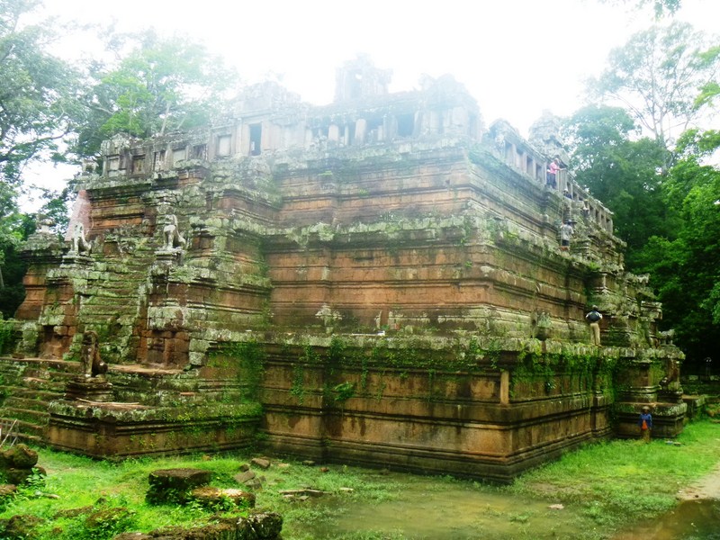
The steep-sided, pyramid-like Phimeanakas Temple

The steep-sided, pyramid-like Phimeanakas Temple

Phimeanakas (“celestial temple”), a Hindu temple in the Khleang art style, is located close to the center of a 5 m. high walled enclosure that once housed the the Royal Palace of Angkor Thom (its tallest scalable temple).  Located north of Baphuon, it was built during the reign of Rajendravarman (from 941-968).  It was then rebuilt, in the shape of a 3-tiered, steep-sided pyramid (a representation of Mt. Meru), by Suryavarman II.

Check out “Baphuon Temple

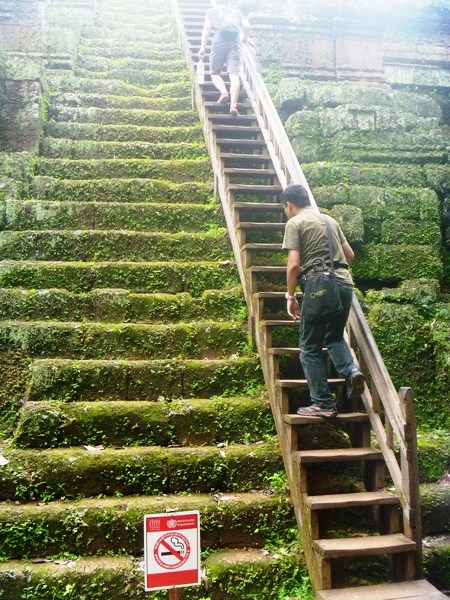
Jandy climbing the narrow wooden stairway to the top

Jandy climbing the narrow wooden stairway to the top

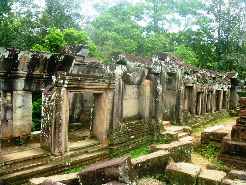
The top of this rectangular pyramid, made with laterite and roughly hewn sandstone, originally had a tower which, according to Chinese scholar Zhou Daguan, was crowned with a golden pinnacle.  The edge of the upper terrace had galleries.with windows and balusters, a unique architectural feature

P1210223

Gallery at upper terrace

Artistically uninteresting, most of its decorative features are broken or have disappeared and there are only hints of its former splendor. Still, Jandy, Violet and I clambered up, via a narrow wooden stairway at the back, to get to the second and third levels. Here, we had good views of nearby Baphuon.

P1210226

P1210232

Hints of its former splendor

Hints of its former splendor

According to legend, the king spent the first watch of every night in the tower to make love to a woman thought to represent a nāga. During that time, not even the queen was permitted to intrude.  However, during the second watch,  the king would return to his palace and the queen. If the naga, the supreme land owner of Khmer land, did not show up for a night, the king’s days would be numbered.  If the king did not show up, a certain disaster  would strike his kingdom.

P1210230

P1210233

Interior of gallery at upper terrace

The royal palace’s construction was began by Rajendravarman II.  Fronted to the east by the Terrace of Elephants, it was used by Jayavarman V and Udayadityavarman I and later added to and embellished by Jayavarman VII and his successors. Except for two sandstone pools (once the site of royal ablutions), located near the northern wall, very little remains of the royal palace.

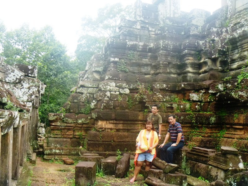
Osang and I at what remains of the tower

Violet and I at what remains of the tower

Bantay Kdei (Siem Reap, Cambodia)

Banteay Kdei (meaning “Citadel of Chambers”), located southeast of Ta Prohm and 3 kms. east of Angkor Thom, was used as a Buddhist monastery and was built with soft sandstone from the middle of the 12th century to the beginning of the 13th century by king Jayavarman II. Changes and additions account for Banteay Kdei’s unbalanced layout. Many of its galleries and porches have collapsed and the wall enclosing the temple was built with reused stones. At least two different art periods, Angkor Wat and Bayon, are discernible at Banteay Kdei.

Check out “Angkor Wat” and “Bayon Temple

Banteay Kdei

Banteay Kdei

The elements of its original design seem to have been a central sanctuary, a surrounding gallery and a passageway connected to another gallery. The original features of the temple were enclosed by a moat. During the Bayon Period, another enclosure and two libraries were added. The 700 by 500 m. (2,297 by 1,640 ft.) outer enclosure, made with laterite, has 4 entry towers.

P1210357

The name “Hall of the Dancing Girls,” a rectangular courtyard to the east, was  derived from the decoration which includes dancers. The second enclosure’s cross-shaped entry tower has three passages.  The two on either end are connected to the literate wall of the enclosure by 200 scrolls of figures and large female divinities in niches. The interior court has a frieze of Buddha.

P1210366

A causeway, built at a later date, is bordered by serpents and leads to the third enclosure’s entry tower. It comprises a laterite wall and includes a gallery with a double row of sandstone pillars that open onto a courtyard. Parts of this area have been walled in and passage is limited.

P1210362P1210363Vestiges of the wooden ceiling can still be seen in the central sanctuary. The galleries and halls, which join it in a cross to the four entry towers, are probably additions. Two libraries open to the west in the courtyards on the left and right of the causeway.

Terrace of the Leper King (Siem Reap, Cambodia)

Located in the northwest corner of the Royal Square of  Angkor Thom and immediately north of the Terrace of the Elephants, we accessed this U-shaped structure from the main road.  This is thought, by some, to have been used as a royal cremation site.

Check out “Terrace of the Elephants” 

The Terrace of the Leper King

The Terrace of the Leper King

It was built at the end of the 12th century, in the Bayon style, by Jayavarman VI who reigned from 1181 to 1220.  Its modern name is derived from a 15th-century sculpture, discovered at the site (now replaced by a replica) called the “Leper King.” The original statue now sits in the courtyard of the National Museum in Phnom Penh.

Osang beside the replica of the statue of the Leper King

Osang beside the replica of the now shrouded statue of the Leper King

The  statue, with thick lips, energetic chin, full cheeks, slightly open mouth, aquiline nose and clear brow,  sits in the Javanese fashion (with his right knee raised) on a platform on the terrace. The position of its missing hand suggests it was holding something. Its nakedness and teeth being shown in a smile are absolutely and strangely unique in Khmer art.

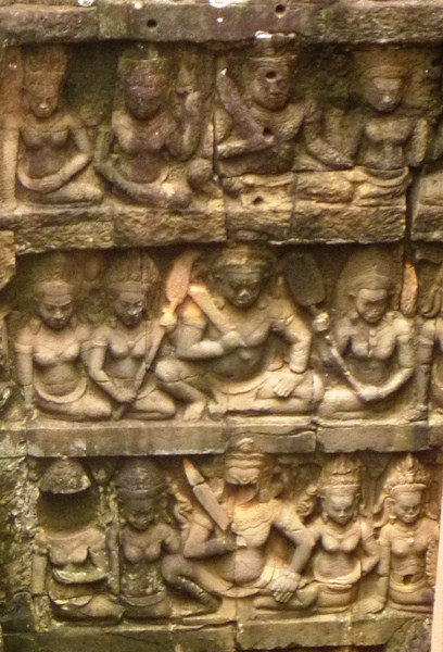
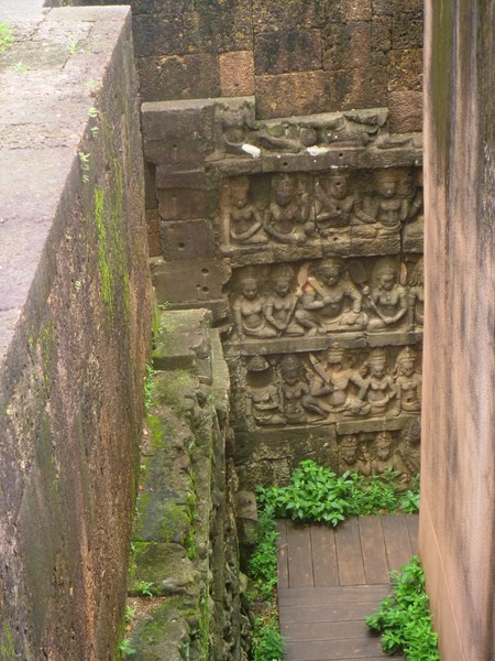
Bas reliefs

Detail of bas reliefs

Mystery and uncertainty surround the origin of its name. Some say it was so called because of its discoloration and the lichen and moss growing on it, reminiscent of a person with leprosy.  It  also said to depict Yama (the Hindu god of death or judgement), Kubera (the god of wealth, an alleged leper) and also fits in with the Cambodian legend of Yasovarman I (Dharmaraja), an Angkorian king who had leprosy.

The false corridor which allows visitors to inspect the bas relief on the first wall

The false corridor which allows visitors to inspect the bas relief on the first wall

The terrace is faced with dramatic bas-reliefs, both on the interior and exterior. During clearing, the EFEO (Ecole Française d’Extreme-Orient) found a second, 2 m. wide laterite wall, faced with sandstone, with bas-relief similar in composition to those of the outer wall. EFEO recently created a false corridor which allows visitors to inspect the bas relief on the first wall.

Terrace of the Elephants (Siem Reap, Cambodia)

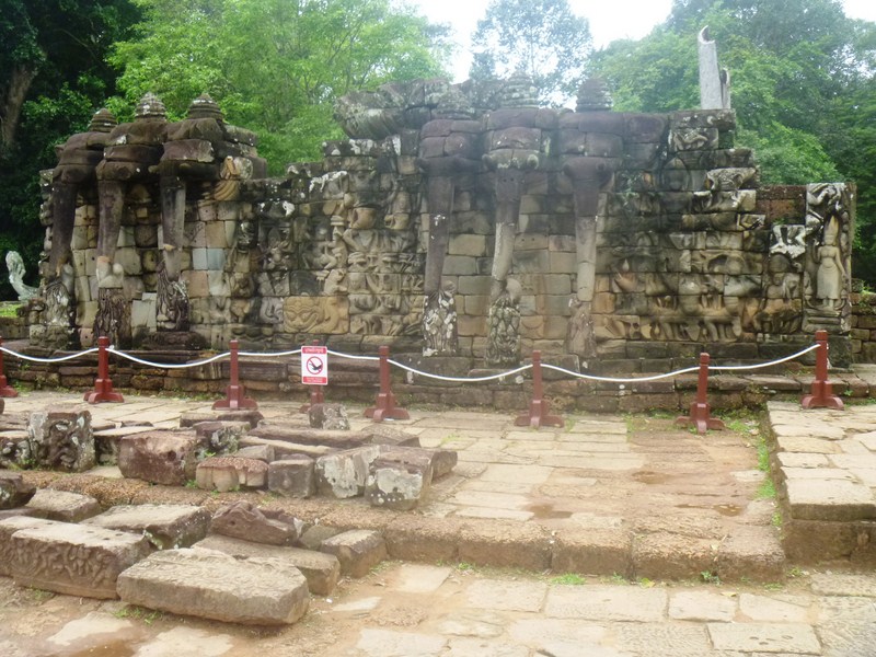
Terrace of the Elephants

Terrace of the Elephants

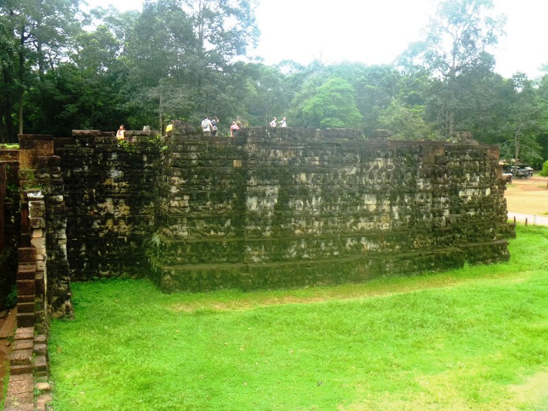
The 350 m. long Terrace of Elephants, part of the walled city of Angkor Thom, is named for the carvings of elephants on its eastern face. We entered this ruins from the road at the east. The terrace, dedicated to Buddhist and replica to the Bayon style of art, was built at the end of the 12th century.

Check out “Bayon Temple

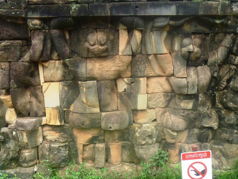
Detail of bas relief

Detail of bas relief

Attached to the palace of Phimeanakas, the terrace was used by Angkor‘s King Jayavarman VII as a giant reviewing platform from which to view his victorious returning army, for public ceremonies and also served as a base for the king’s grand audience hall.

Check out “Royal Palace and Phimeanakas Temple” 

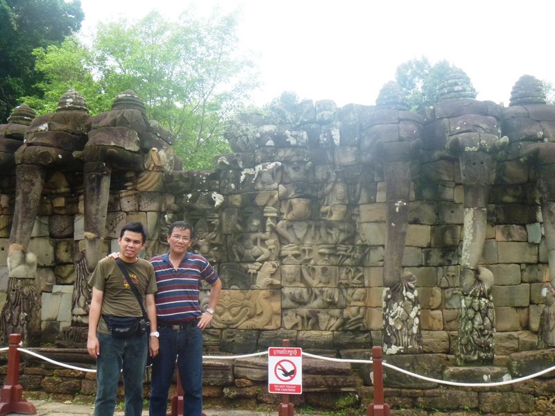
The author and Jandy at the terrace

The author and Jandy at the terrace

As most of its original structure was made of organic material that has long since disappeared, most of what remains are the foundation platforms of the complex. It has five outworks extending towards the Central Square; three in the center and one at each end. The retaining wall’s middle section is decorated with life-size garuda and lions. Towards either end are the two parts of the famous parade of elephants, complete with their Khmer mahouts and princes

Bayon Temple (Siem Reap, Cambodia)

Bayon Temple

The richly decorated,  mesmerizing and slightly mind-bending Bayon (Prasat Bayon) Khmer temple was built, as a state temple (the last state temple to be built at Angkor), by the creative genius and inflated ego of the Mahayana Buddhist King Jayavarman VII (Cambodia’s most celebrated king) in the late 12th or early 13th century.  Later Hindu and Theravada Buddhist kings, following Jayavarman’s death, modified and augmented the temple in accordance with their own religious preferences.

The multitude of serene, enigmatic and smiling stone faces on the many towers, the temple’s most distinctive feature, jut out from the upper terrace and cluster around its central peak. Two sets (totaling 1.2 kms.) of extraordinary bas-reliefs, incorporating more than 11,000 figures, present a combination of mythologicalhistorical, and mundane scenes.

A Buddha shrine at the western side of temple

Though the only Angkorian state temple to be built primarily as a Mahayana Buddhist shrine dedicated to the Buddha, a great number of minor and local deities were also encompassed as representatives of the various districts and cities of the realm.  The Bayon was the centerpiece of Jayavarman VII‘s massive program of monumental construction and public works (which was also responsible for the walls and nāga-bridges of Angkor Thom and the temples of Preah KhanTa Prohm  and Banteay Kdei).

Check out “Ta Prohm Temple” and “Banteay Kdei” 


The 216 gargantuan faces decorating the temple’s towers are similar to other statues of Jayavarman VII, leading many scholars to conclude that the faces are representations of the king himself, the 54 (some say that the Khmer empire was divided into 54 provinces at the time of Bayon’s construction) pairs of his all-seeing eyes making him hold sway over such a vast empire and ensuring the disparate and far-flung subjects yielded to his magnanimous will. Others have said that the faces belong to Avalokitesvara or Lokesvara, the bodhisattva of compassion.

The author with son Jandy

Since the time of Jayavarman VII, subsequent monarchs have made numerous additions and alterations at the Bayon. In the mid-13th century, during the reign of Jayavarman VIII , the Khmer empire reverted to Hinduism and this state temple was altered accordingly. Theravada Buddhism became the dominant religion in later centuries, leading to still further changes.  Eventually, the temple was abandoned to the jungle. Current features that were not part of the original plan include the libraries, parts of the upper terrace, the terrace to the east of the temple and the square corners of the inner gallery.

One of the gargantuan heads of Bayon

In the first part of the 20th century, the École Française d’Extrême Orient (EFEO) restored the temple in accordance with the technique of anastylosis. Since 1995, the Japanese Government team for the Safeguarding of Angkor (the JSA) has been the temple’s main conservatory body, holding symposia annually.

Bayon’s original name was Jayagiri (or “Victory Mountain”) but, after the French occupation, it was later named Banyan Temple due to its religious significance and Buddhist imagery (the Buddha is said to have attained enlightenment under the Banyan tree). During the renovation of the Banyan Temple, the local Khmer workers mispronounced Banyan as Bayon and the name stuck.

The author with Violet

Oriented towards the east, the temple’s buildings are set back to the west, inside enclosures elongated along the east-west axis. The temple sits at the exact center (it took researchers some time to realize this as it was shrouded in jungle) of Angkor Thom, Jayavarman’s capital, and roads lead directly to it from the gates at each of the city’s cardinal points. The temple has no wall or moats, these being replaced by those of the city itself.  The city-temple arrangement has an area of 9 sq.  kms., much larger than that of Angkor Wat to the south (2 km²).

Check out “Angkor Wat

Jandy with Osang

Bayon’s basic structure comprises a simple three levels corresponding, more or less, to three distinct phases of building because Jayavarman VII began construction of this temple at an advanced age.  Never confident it would be completed, each time one phase was completed, he moved on to the next. The first two, square levels are and adorned with bas-reliefs while the third, circular level houses the towers and their faces.

Within the temple are two galleried enclosures (the third and second enclosures) and an upper terrace (the first enclosure), all crowded against each other, with little space between.

Bas-relief of an apsara dancer

The outer gallery’s outer wall features a series of famous, highly detailed and informative bas-reliefs, on the outer wall of the first level not accompanied by any sort of epigraphic text, that depict historical events and vivid scenes from the Angkorian Khmer’s everyday life in 12th-century Cambodia.

The second level bas-reliefs do not have the epic proportions of those on the first level and tend to be fragmented. There is considerable uncertainty as to which historical events are portrayed and how by the bas-reliefs and, if at all, the different reliefs are related.  From the east gopura , the subjects are (in clockwise order assuming you enter the Bayon from the east):

  • Chams on the Run – a three-level panorama. On the first tier, a Khmerarmy (including some Chinese soldiers) marching off to battle, with musicians, horsemen, and officers mounted on elephants, followed by oxcarts of provisions (southern part of the eastern gallery). The second tier depicts coffins being carried back from the battlefield. The third tier depicts Jayavarman VII on horseback in the center, shaded by parasols, followed by legions of concubines (to the left).
  • A procession, followed by domestic scenes depicting Angkorian houses, some of the occupants of which appear to be Chinese merchants (eastern gallery, on the other side of the doorway leading into the courtyard).
  • Hindus praying to a linga(phallic symbol) – an unfinished temple scene with towers, apsaras, and a lingam. This image was probably originally a Buddha, later modified by a Hindu king. (first panel north of the southeast corner pavilion)
  • The Naval Battlepanel (eastern part of the southern gallery), with some of the best-carved reliefs, depicts a naval battle on the Tonle Sap between Khmer and Cham (with head coverings) forces, underneath which are more scenes of everyday civilian life around the Tonlé Sap lake depicting a market, open-air cooking, people picking lice from each other’s hair, hunters, and women tending to children, an invalid and, towards the western end of the panel, a woman giving birth.
  • Chams Vanquished (southern gallery, past the doorway leading to the courtyard) – scene from daily life with boats and fisherman (including a Chinese junk), below which is a depiction of a cockfight; then some palace scenes with princesses, servants, people engaged in conversations and games (including two people playing chess), women selling fish in the market, wrestlers, and a wild boar fight; then a battle scene with Cham warriors disembarking from boats along the shore of Tonlé Sap lake and engaging Khmer warriors whose bodies are protected by coiled ropes, followed by a scene in which the Khmer dominate the combat and soundly thrashed the Chams, followed by a scene of meals being prepared and served in which the Khmer king celebrates a victory feast with his subjects.
  • The most western relief of the south gallery, depicting a military procession, is unfinished, as is the panel showing elephants being led down from the mountains. Brahmans have been chased up two trees by tigers.
  • A military procession including both Khmers and Chams, elephants, war machines such as a large crossbow and a catapult (western part of the southern gallery).
  • Unfinished reliefs showing an army marching through the forest, then arguments and fighting between groups of Khmers (southern part of the western gallery).
  • All-Seeing King (western gallery, past the doorway to the courtyard, just north of the civil war panel) – a scene depicting continued fighting, on a smaller scale, between Khmer warriors, then a scene in which warriors pursue others past a pool in which a gargantuan fish swallows a small antelope (among the smaller fish is a prawn, under which an inscription proclaims that the king will seek out those in hiding),then a royal procession, with the king standing on an elephant, preceded by the ark of the sacred flame.
  • Khmer circus (western part of the northern gallery) – scene of royal entertainment including athletes, jugglers, acrobats. Here, you can see a strongman holds three dwarfs, a man on his back is spinning a wheel with his feet above which is a group of tightrope walkers, ascetics sitting in a forest, and more battles between Khmer and Cham forces. To the right of the circus, the royal court watches from a terrace, below which is a procession of animals. Some of the reliefs in this section remain unfinished.
  • The Sacking of Angkor(northern gallery, past the doorway to the courtyard) – scene during the war of 1177 when the Khmers were defeated by the Chams, fleeing from Cham soldiers advancing in tight ranks, and Angkor was pillaged. The wounded Khmer king is being lowered from the back of an elephant while a wounded Khmer general is being carried on a hammock suspended from a pole. Directly above is a scene where despairing Khmers are getting drunk. The Chams (on the right) are in hot pursuit of the vanquished Khmers.
  • Another marching Khmer army (northeast corner pavilion).
  • The Chams Enter Angkor (eastern gallery)depicts a land battle between the Khmer and Cham armies, both of which are supported by elephants. Notice the flag bearers among the Cham troops (on the right). The Chams were defeated in the war, which ended in 1181, as depicted on the first panel in the sequence.

A courtyard, enclosed by the outer gallery, has two libraries, one on either side of the east entrance. Originally, the courtyard contained 16 chapels, all subsequently demolished by the Hindu restorationist Jayavarman VIII.

The inner gallery, raised above ground level, has doubled corners, with the original redented cross-shape later filled out to a square.  Its bas-reliefs, later additions of Jayavarman VIII, are in stark contrast to those of the outer gallery.

Rather than set-piece battles and processions, the inner gallery’s smaller canvases are decorated, for the most part, with scenes from Hindu mythology and some of the figures depicted are SivaVishnu, and Brahma, the members of the trimurti or threefold godhead of HinduismApsaras or celestial dancers, Ravana and Garuda.

However, there is no certainty as to what some of the panels depict or their relationship with one another. For example, one gallery, just north of the eastern gopura, shows two linked scenes which have been explained as either the freeing of a goddess from inside a mountain or an act of iconoclasm by Cham invaders.

Another series of panels, connected with the legend of the Leper King (who contracted leprosy from the venom of a serpent with whom he had done battle), shows a king fighting a gigantic serpent with his bare hands, then having his hands examined by women and, finally, lying ill in bed.

Depictions of the construction of a Vishnuite temple (south of the western gopura) and the Churning of the Sea of Milk (north of the western gopura) are less obscure.  The inner gallery, raised one level higher again, is nearly filled by the upper terrace.

Scholars were led to conclude, due to the lack of space between the inner gallery and the upper terrace, that the upper terrace did not figure in the original plan for the temple but that it was, following a change in design, added shortly thereafter. Originally, it is believed that the temple had been designed as a single-level structure similar, in that respect, to the roughly contemporaneous foundations at Ta Prohm and Banteay Kdei.

The famous “face towers” of the Bayon, at the upper terrace, each supports two, three or four (most common) gigantic smiling faces.  In addition to the mass of the central tower, smaller towers are located at the corners and entrances along the inner gallery and on chapels on the upper terrace. At one point, the temple hosted 49 towers (now only 37 remain).  The number of faces numbered approximately 200 but there can be no definitive count since some are only partially preserved.

Like the inner gallery, the central tower, rising 43 m. above the ground, was originally cruciform but, later, was filled out and made circular. At the time of the temple’s foundation, the principal religious image was a 3.6 m. tall statue of the Buddha (depicted seated in meditation, shielded from the elements by the flared hood of the serpent king Mucalinda) located in the sanctuary at the heart of the central tower.

Another Buddha shrine

The Buddha was removed from the sanctuary and smashed to pieces during the reign of Jayavarman VIII (Hindu restorationist monarch).  In 1933, after being recovered from the bottom of a well, it was pieced back together and is now on display in a small pavilion at Angkor.

Most people to visit in the morning due to the temple’s eastward orientation but even around late afternoon, the time of our visit, Bayon looked equally good.  From a religious standpoint, the temple is a definitive political statement about the change from Hinduism to Mahayana Buddhism.

As we walked around this “face temple,” a dozen or more of the huge, iconic heads, with a hint of humanity, are visible at any one time, full face or in profile, sometimes level with our eyes but mostly staring or glaring down from on high and from every angle, exuding power and control.

Unlike Angkor Wat which looks impressive from all angles and impresses with the grand scale of its architecture and open spaces, Bayon “gives the impression of being compressed within a frame which is too tight for it,” looking rather, from a distance, like a glorified pile of rubble. However, when we entered the temple and made our way up to the third level, its magic became apparent.

Bayon (Prasat Bayon) Angkor Thom, Angkor Archeological Park, Krong Siem Reap, 17000, Cambodia

Angkor Wat (Siem Reap, Cambodia)

Angkor Wat

After paying admission fees at the ticket office, we approached Angkor Wat via its main entrance –  a 350 m. (1,150 ft.) long sandstone causeway (a later addition which possibly replacing a wooden bridge) to the west which connects the western gopura to the temple proper.

Angkor Wat ticket office

Along the way are three ruined towers, naga balustrades and six sets of steps leading down to the city on either side. The western entrance is, by far, the largest.  To the east, access to the temple is via an earth bank.

The author, Jandy, Violet and Osang at the causeway

Each side of the causeway also features a library with gopuras (entrances) at each of the cardinal points, in front of the third set of stairs from the entrance, and a pond (later additions to the design) between the library and the temple itself. The cruciform terrace (also a later addition), guarded by lions, connects the causeway to the central structure.

Northern Library

The Southern Library

Angkor Wat, lying 5.5 kms. (3.4 mi) north of the modern town of Siem Reap and a short distance south and slightly east of the previous capital (which was centered at Baphuon), was built by the Khmer King Suryavarman II in the early 12th century in Yaśodharapura (present-day Angkor), the capital of the Khmer Empire, as his state temple and eventual mausoleum.

Guardian lion statues

The temple is admired for the grandeur and harmony of the architecture, its decoration and for the numerous  devatas (there are more than 1,796 depictions of devata in the present research inventory) adorning its walls. Above all, the temple has drawn praise for the harmony of its design.

Gallery with bas-reliefs

Larger devata images, all full-body portraits measuring approximately 95 cms. (37 in.) to 110 cms. (43 in.), are incorporated more prominently at every level of the temple from the entry pavilion to the tops of the high towers. Small, 30 cm. (12 in.) to 40 cm. (16 in.) apsara images were used as decorative motifs on pillars and walls.

Devatas

Angkor Wat’s extensive decoration, one of the causes for its fame, is integrated with the architecture of the building and predominantly takes the form of bas-relief friezes. Virtually all of its surfaces, columns, lintels and even roofs are carved, with miles of reliefs illustrating scenes from Indian literature including unicorns, griffins, winged dragons pulling chariots as well as warriors following an elephant-mounted leader and celestial dancing girls with elaborate hair styles.

Bas relief

One gallery wall alone is decorated with almost 1,000 sq. m. of bas reliefs.  Besides the temple proper, its outer wall also enclosed three rectangular galleries (each raised above the next), the city and, to the north of the temple, the royal palace. Inside the temple, ropes and wooden steps have been introduced to protect the bas-reliefs and floors.

Corridor

Here are some interesting trivia regarding this temple complex:

  • It is the largest religious monument in the world
  • Angkor Wat is the prime example of the high classical style of Khmer architecture—the Angkor Wat style to which it has given its name. Architecturally, the elements characteristic of the style include: the ogival, redented towers shaped like lotus buds; half-galleries to broaden passageways; axial galleries connecting enclosures; and the cruciform terraces which appear along the main axis of the temple. Typical decorative elements are devatas (or apsaras)bas-reliefs, and on pediments extensive garlands and narrative scenes.
  • A powerful symbol of Cambodia and a source of great national pride, a depiction of Angkor Wat has been a part of Cambodian national flags since the introduction of the first version circa 1863.
  • It is the country’s prime attraction for visitors. Since the 1990s, Angkor Wat has become a major tourist destination. In 1993, there were only 7,650 visitors to the site but, by 2004, (according to government figures) 561,000 (approximately 50% of all foreign tourists in Cambodia) foreign visitors had arrived in Siem Reap province, most of whom visited Angkor Wat, increasing to over a million in 2007 and over two million by 2012. In 2013, Angkor Wat received over two million foreign tourists.
  • The temple’s original name is unknown as neither the foundation stela nor any contemporary inscriptions referring to the temple have been found.  It may have been known as “Varah Vishnu-lok” (Barom Visnulōk, which means the sacred dwelling of Vishnu) or Parama Vishnuloka (Sanskrit), after the presiding deity. The modern name, Angkor Wat (alternate name: Nokor Wat) means “Temple City” or “City of Temples.”  In KhmerAngkor meaning “city” or “capital city.” It is a vernacular form of the word nokor (which comes from the Sanskrit word nagara). Wat is the Khmer word for “temple grounds,” also derived from Sanskrit a, meaning “enclosure.”
  • Constructed by Khmer King Suryavarman II for the Khmer Empire, it was originally, in a break from the Shaiva tradition of previous kings, a Hindu temple dedicated to the god Vishnu but was gradually transformed, towards the end of the 12th century, into a Buddhist
  • As the best-preserved temple at the site, Angkor Wat is the only one to have remained a significant religious center since its foundation.
  • The entire city of Angkor used up far greater amounts of stone than all of the Egyptian pyramids combined.
  • Angkor occupied an area significantly greater than modern-day Paris.
  • Sandstone, rather than brick or laterite, was used as the main building material. Sandstone blocks were used for most of the visible areas while laterite was used for the outer wall and for hidden structural parts. Sandstones, as smooth as polished marble, were laid without mortar, with very tight joints that were sometimes hard to find. In some cases, the blocks were held together by mortise and tenon joints while, in others, they used dovetails and gravity. Presumably, the blocks were put in place by a combination of elephants, coir ropes, pulleys and bamboo scaffolding.
  • Unlike the Egyptian pyramids which use limestone quarried barely 0.5 km. (0.31 mi.) away all the time, the entire city of Angkor was built with sandstone quarried 40 kms. (25 mi.) or more away. This sandstone had to be transported from Mt. Kulen, a quarry approximately 40 kms. (25 mi.) to the northeast.
  • It was designed to represent Mount Meru, home of the devas(gods) in Hindu mythology. The central quincunx of towers symbolizes the five peaks of the mountain while the walls and moat symbolize the surrounding mountain ranges and ocean.
  • Angkor Wat is a unique combination of two basic plans of Khmer temple architecture – the temple mountain (the standard design for the empire’s state temples) and the later concentric  galleried temple.
  • Compared to earlier work, the statuary of Angkor Wat is considered conservative, being more static and less graceful.
  • Unlike most Angkorian temples, Angkor Wat is oriented to the west and scholars are divided as to the significance of this. Angkor Wat may relate to the Greek and Roman architecture record in terms of the west rather than east orientation of the temple.
  • It is the southernmost of Angkor’s main sites.
  • The temple’s bas-reliefs proceeds in a counter-clockwise direction (prasavya in Hindu terminology), the reverse of the normal order.
  • Among the Angkor temples, Angkor Wat is unusual in that, although it was largely neglected after the 16th century, it was never completely abandoned.
  • According to legend, the construction of Angkor Wat was ordered by Indra to serve as a palace for his son Precha Ket Mealea. According to Zhou Daguan, a 13th-century Chinese traveler, some believed that the temple was built by a divine architect in a single night.
  • Japanese Buddhist pilgrims who established small settlements, alongside Khmer locals, thought that Angkor Wat was the famed Jetavana garden of the Buddha, which originally located in the kingdom of Magadha, India. Fourteen inscriptions (the best-known tells of Ukondafu Kazufusa, who celebrated the Khmer New Year at Angkor Wat in 1632) discovered in Angkor area, dated from the 17th century, testifies to this.
  • As with most other ancient temples in Cambodia, a combination of plant overgrowth, fungi, ground movements, war damage and theft have extensively destroyed many elements of the temple’s design including gilded stucco on the towers, gilding on some figures on the bas-reliefs, and wooden ceiling panels and doors. Around 20% of the devatas are in very poor condition, mainly because of natural erosion and deterioration of the stone but, also in part, due to earlier restoration efforts.  However, compared to the rest of Cambodia’s temple ruins, it has also received the most attentive restoration. So far, other than some graffiti, the influx of tourists has caused relatively little damage.
  • Some additional funds for the temple’s maintenance has been provided by tourism. As of 2000, approximately 28% of ticket revenues across the whole Angkor site was spent on the temples (although most work is carried out by teams sponsored by foreign governments rather than by the Cambodian authorities).
  • A number of countries such as France, Japan, Germany and China are currently involved in various Angkor Wat conservation projects. The German Apsara Conservation Project (GACP) is working to protect the devatas, and other bas-reliefs which decorate the temple, from damage.
  • Angkor Wat the location for some key scenes from the 2001 film Lara Croft: Tomb Raider (the first major motion picture to be shot in Cambodia since Lord Jim in 1964), when Angelina Jolie arrives in a floating village in front of the temple. She exits the village and then enters the temple to meet a holy monk who heals her injured arm and lends her a phone.
  • Angkor Wat was also the setting for the final scenes of the 2000 In the Mood for Love, a classic Hong Kong romantic drama from Wong Kar-wai,.

Here is the historical timeline of the temple:

  • In the first half of the 12th century, the initial design and construction of the temple took place during the reign of Suryavarman II (ruled 1113 – c. 1150).
  • Shortly after the king’s death, work seems to have ended, leaving some of the bas-relief decoration unfinished.
  • In 1177, approximately 27 years after the death of Suryavarman II, Angkor was sacked by the Chams, the traditional enemies of the Khmer.
  • Thereafter, King Jayavarman VII restored the empire and established a new capital and state temple (Angkor Thom and the Bayon respectively) a few kms. to the north.
  • Towards the end of the 12th century, Angkor Wat was gradually transformed, from a Hindu centre of worship, to Buddhism, which continues to the present day.
  • In 1586, António da Madalena, a Portuguese friar visited the temple, one of the first Western visitors to do so.
  • In the mid-19th century, French naturalist and explorer Henri Mouhot effectively rediscovered the temple and popularized the site in the West through the publication of travel notes.
  • On August 11, 1863, the splendid artistic legacy of Angkor Wat and other Khmer monuments in the Angkor region led directly to France adopting Cambodia as a protectorate, invading Siam to take control of the ruins. This quickly led to Cambodia reclaiming lands in the northwestern corner of the country that had been under Siamese (Thai) control since AD 1351 (Manich Jumsai 2001), or by some accounts, AD 1431.
  • Between 1889 and 1937, the original temple site was presented in French colonial and universal exhibitions in Paris and Marseille.
  • From c. 1880 to the mid-1920s, Angkor Wat’s aesthetics were on display in the musée Indo-chinois, a plaster cast museum of Louis Delaporte which existed in the Parisian Trocadero Palace.
  • By 1885, a French exploration commission (who drew up a list of principal monuments) had worked up a chronology of the rulers and developed the outlines of a description of the civilization that had produced the temple complex. The true history of Angkor Wat was pieced together from stylistic and epigraphicevidence accumulated during subsequent clearing and restoration work. Subsequent missions copied inscriptions written on Angkor buildings so that scholars might translate them and learn something of Angkor’s history.
  • In 1898 the French decided to commit substantial funds to Angkor’s preservation.
  • The 20th century saw considerable restoration of Angkor Wat. Centuries of neglect had permitted the jungle to recapture many of the more significant structures and, gradually, teams of laborers and archaeologists pushed back the jungle, freed buildings from the embrace of huge banyan and silk-cotton trees (which might have crushed them to destruction) and exposed the expanses of stone, permitting the sun once again to illuminate the dark corners of the temple.
  • In 1934, the conservator George Trouvé, excavating the pit beneath the central shrine, finds a sacred foundation deposit of gold leaf, 2 m. above ground level.
  • On November 9, 1953, Cambodia gained independence from France and, since that time, has controlled Angkor Wat.
  • In the 1960s, a major restoration of Angkor was undertaken
  • During the 1970s and 1980s, work was interrupted by the Cambodian Civil War and Khmer Rouge control of the country but, during this period, relatively little damage was done. However, camping Khmer Rouge forces did use, for firewood, whatever wood remained in the building structures plus a shoot-out, between Khmer Rouge and Vietnamese forces, put a few bullet holes in a bas relief.
  • In the late 1980s and early 1990s, art thieves, working out of Thailand, claimed almost every head that could be lopped off the structures, including reconstructions.
  • Between 1986 and 1992, as France did not recognize the Cambodian government at the time, the Archaeological Survey of India carried out restoration work on the temple .
  • In 1992, following an appeal for help by Norodom Sihanouk, Angkor Wat was listed in UNESCO’s World Heritage in Danger (later removed in 2004) and World Heritage Site
  • Between 1990 and 2016, the site was managed by the private SOKIMEX group which rented it from the Cambodian government.
  • In 1994, zoning of the area was set up to protect the Angkor site.
  • In 1995, APSARA was established to protect and manage the area.
  • In 1996, a law to protect Cambodian heritage was passed.
  • In 2005, a Japanese team completed restoration of the north library of the outer enclosure.
  • In 2008, World Monuments Fund began conservation work on the Churning of the Sea of Milk Gallery after several years of studies on its condition.
  • In 2012, the main phase of restoration work ended.
  • In 2012, at the ASEAN Tourism Forum, it was agreed that Borobudur and Angkor Wat would become sister sites and the provinces sister provinces.
  • In 2013, the installation of finials on the roof of the gallery was finished.
  • In December 2015, a research team from University of Sydney announced that they had found a previously unseen ensemble of buried towers built and demolished during the construction of Angkor Wat, as well as massive structure of unknown purpose on its south side and wooden fortifications.

Western gopura

Here are some interesting trivia regarding the temple’s design and construction:

  • The monument was made out of 5 million to 10 million sandstone blocks with a maximum weight of 1.5 tons each.
  • The temple sits on a site measuring 162.6 hectares (1,626,000 m2; 402 acres).
  • The 3.6 km. (2.2 mi.) long outer wall, measuring 1,024 m. (3,360 ft.) by 802 m. (2,631 ft.) and is 4.5 m. (15 ft.) high, is surrounded by a 30 m. (98 ft.) apron of open ground and a moat 190 m. (620 ft.) wide and over 5 kms. (3 mi.) in perimeter. It enclosed a space of 820,000 sq. m. (203 acres) and was built with perishable materials rather than of stone, so nothing remains of them except the outlines of some of the streets. Most of the area is now covered by forest.
  • The outer gallery measures 187 m. (614 ft.) by 215 m. (705 ft.)

Outer Gallery

The temple itself, standing on a terrace raised higher than the city, is made of three rectangular galleries (each with a gopura at each of the points) rising to a central tower (aligned to the morning sun of the Spring Equinox), each level higher than the last. The two inner galleries each have towers at their corners, forming a quincunx with the central tower.

Multi-armed Ta Reach statue

A multi-armed statue of Vishnu (known as Ta Reach), under the southern tower, originally have occupied the temple’s central shrine. Galleries, with square pillars on the outer (west) side and a closed wall on the inner (east) side, run between the towers as far as the two “elephant gates,” entrances on either side of the gopura that are large enough to admit these animals.

Northeast Tower

Lotus rosettes decorated the ceiling between the pillars; dancing figures on the west face of the wall; and balustered windows, dancing male figures on prancing animals, and devatas  (including the only one, at the south of the entrance of the temple, showing her teeth) at the east face of the wall.

Headless Buddha statues

Another cruciform terrace, again a later addition, connects the second and inner galleries to each other and to two flanking libraries. Devatas, singly or in groups of up to four, abound on the walls from the second level upwards.

The Bakan

The 100 m. (330 ft.) by 115 m. (377 ft.) second-level enclosure, probably originally flooded to represent the ocean around Mount Meru, has three very steep sets of steps (representing the difficulty of ascending to the kingdom of the gods) on each side leading up to the corner towers and gopuras of the Bakan, the 60 m. (200 ft.) square inner gallery with axial galleries connecting each gopura with the central shrine, and subsidiary shrines located below the corner towers.

View of courtyard from Bakan

The author descending the stairs from the Bakan

The motif of the body of a snake, ending in garudas (heads of lions), decorate the roofings of the galleries while carved lintels and pediments decorate the entrances to the galleries and to the shrines.

The central tower

The tower above the central shrine, rising 43 m. (141 ft.) to a height of 65 m. (213 ft.) above the ground, is unlike those of previous temple mountains as this central tower is raised above the surrounding four. The shrine, originally open on each side and occupied by a statue of Vishnu, was walled in when the temple was converted to Theravada Buddhism (the new walls featuring standing Buddhas).

Outer Gallery

The outer gallery, with pavilions rather than towers at the corners, is open to the outside of the temple, with columned half-galleries extending and buttressing the structure.

Preah Poan (the Hall of a Thousand Gods) (3)

The outer gallery is connected to the second enclosure on the west side via the Preah Poan (the “Hall of a Thousand Gods”), a cruciform cloister.  The cloister, whose north and south have libraries, marks out four small courtyards which may originally have been filled with water.

Preah Poan

A series of large-scale scenes, mainly depicting episodes from the Hindu epics the Ramayana and the Mahabharata, are found at the inner walls of the outer gallery.

Inner courtyard

The western gallery, from the north-west corner anti-clockwise, shows the Battle of Lanka (from the Ramayana), in which Rama defeats Ravana;  and the Battle of Kurukshetra (from the Mahabharata), showing the mutual annihilation of the Kaurava and Pandava clans. The only historical scene at the southern gallery is a procession of Suryavarman II, then the 32 hells and 37 heavens of Hinduism.

Bas-relief gallery

The Churning of the Sea of Milk, one of the most celebrated scenes on the eastern gallery, shows 92 asuras and 88 devas using the serpent Vasuki to churn the sea under Vishnu’s direction, followed by Vishnu defeating asuras (a 16th-century addition). The northern gallery shows Krishna’s victory over Bana.

Bas-relief of Battle of Kurukshetra

Over the centuries, Buddha images have been left in the cloister by pilgrims.  Although most have now been removed, we noticed that some still remain and many inscriptions, mostly written in Khmer but others in Burmese and Japanese, relate the good deeds of these pilgrims.

A Buddha statue

Angkor Wat: AngkorSiem Reap ProvinceCambodia. Coordinates: 13°24′45″N 103°52′0″E.