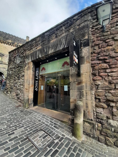
National War Museum Scotland
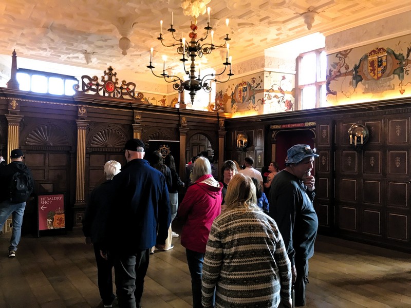
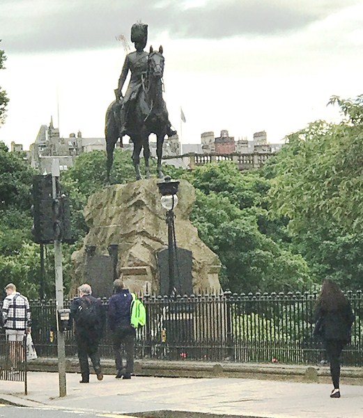
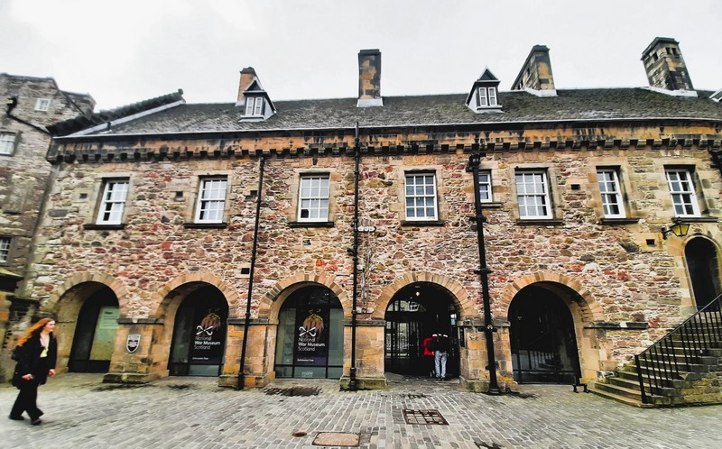
The two-storey National War Museum, located on the southern side of Hospital Square (at its center is the large equestrian statue of Marshall Douglas Haig) inside Edinburgh Castle, is a museum (the largest of three within the castle) dedicated to warfare run and managed by the National Museums Scotland.
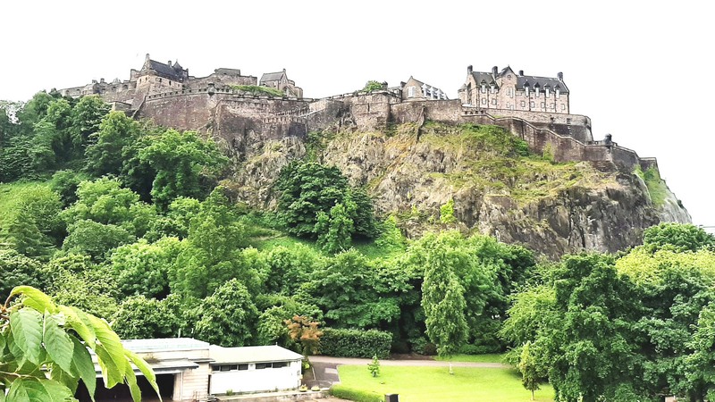
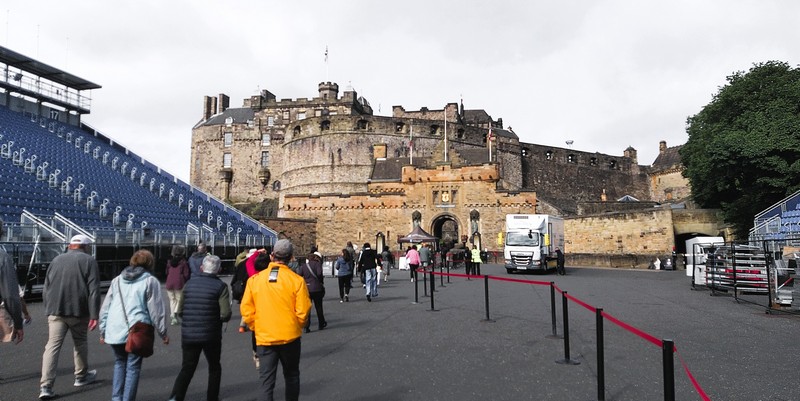
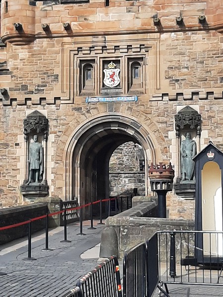
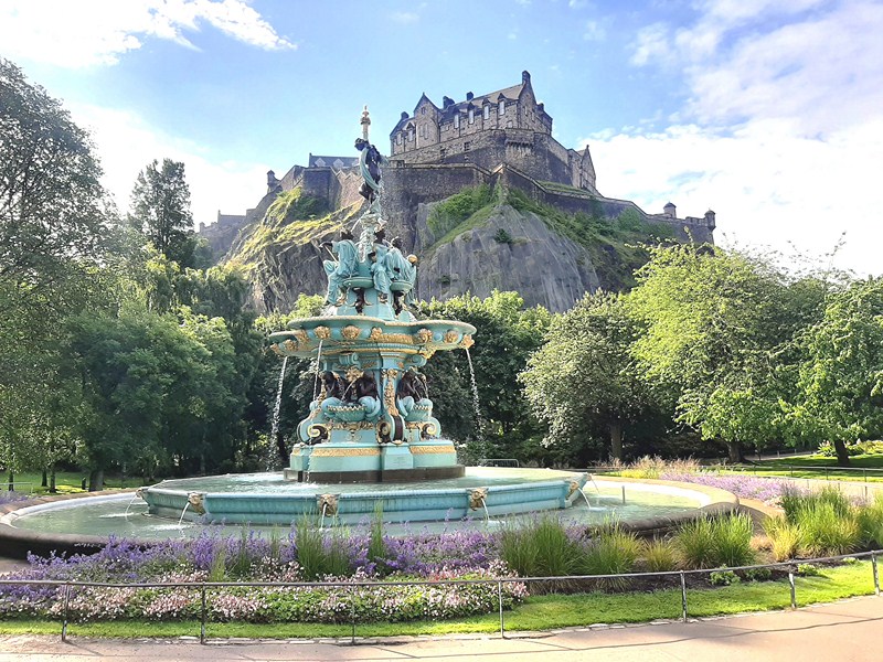
Check out “Edinburgh Castle”
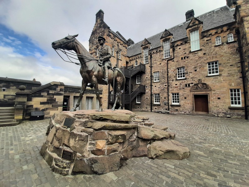
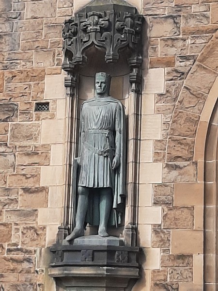
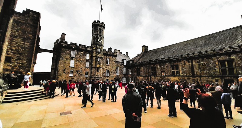
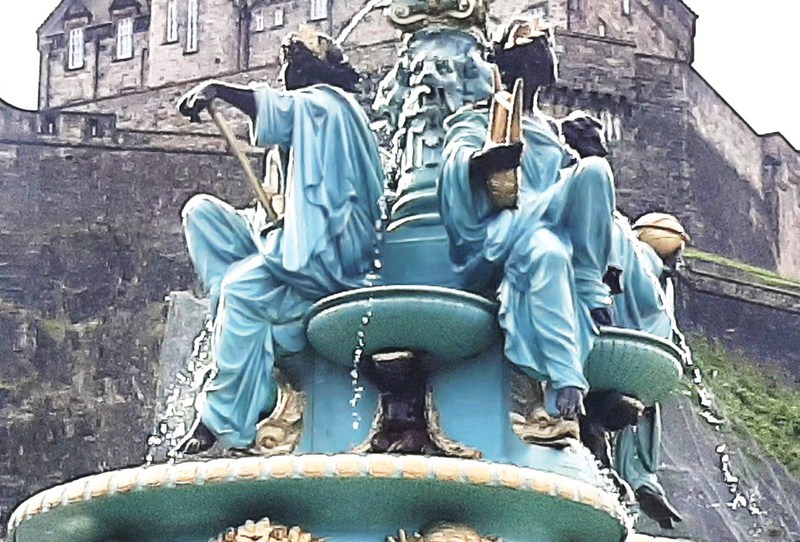
Hospital Square and the equestrian statue of Gen. Douglas Haig
Beside the museum is Butts Battery, named after the archery butts (targets) formerly placed here. Below it are the Western Defenses, where a postern, named the West Sally Port, gives access to the western slope of the rock.
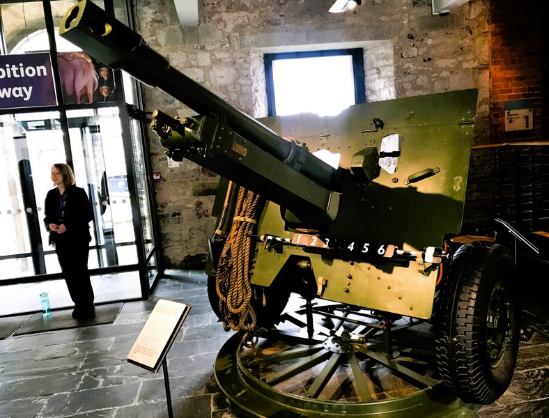
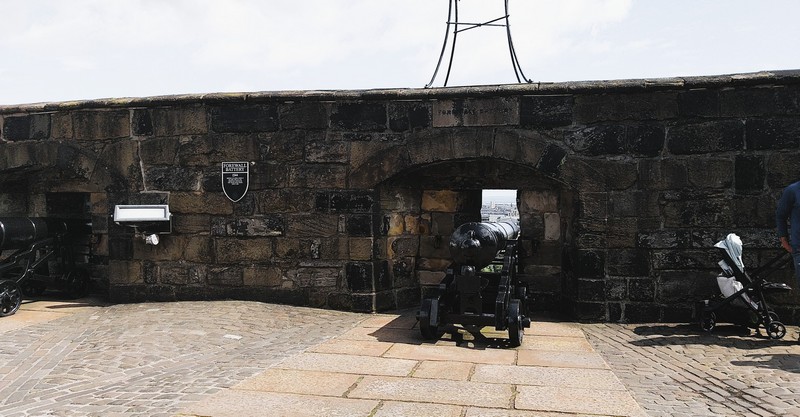
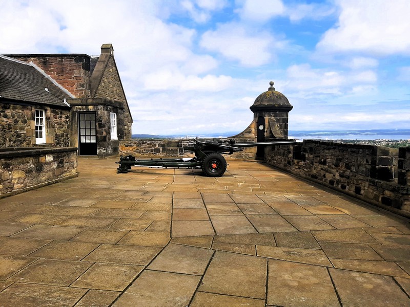
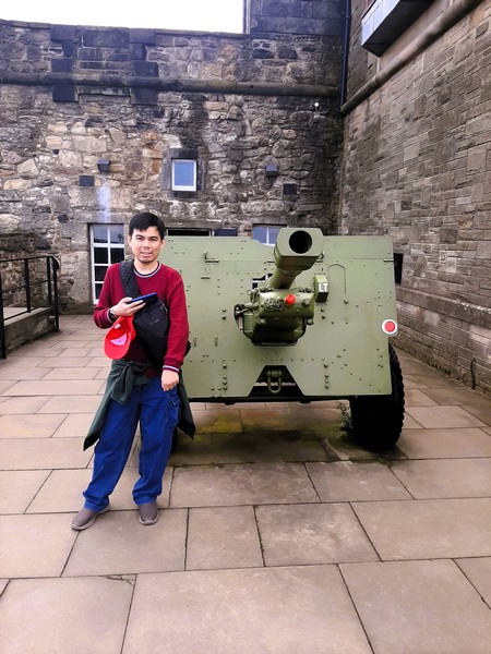
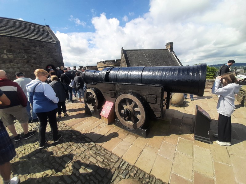
25-Pounder Field Gun at the entrance
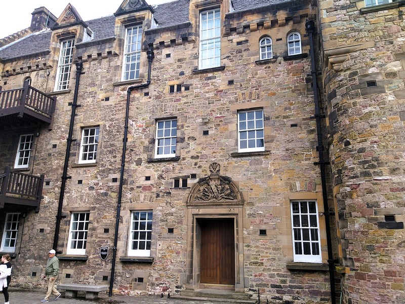
Opened as the Scottish Naval and Military Museum on May 23, 1933, by Lord High Commissioner John Buchan, in a converted 18th-century ordnance storehouse (built in the 1748 by William Skinner), it was, in 1949, renamed as the United Services Museum, recognizing the importance of the Air Force to the war effort in World War II.
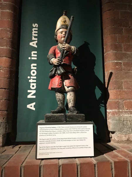
Gallery 1:A Nation in Arms. This comical cherub (ca. 1720), used to decorate the Old Chelsea Bun House (a London coffee shop close to the Royal Hospital), is among the earliest representations of Scots in British military service.
Gallery 2: A Grand Life for a Scotsman
In 2000, the museum was refurbished and, upon reopening was renamed to its present name of the National War Museum. It covers 400 years of Scotland’s military history, from the 17th century, through permanent exhibits that illustrate the history and causes behind the many wars in which Scottish soldiers have been involved, and special exhibitions.
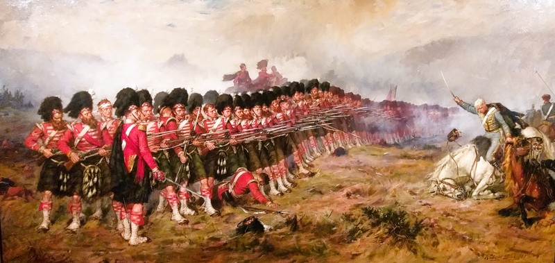
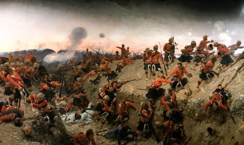
The Thin Red Line (Robert Gibb). It depicts the 1854 Crimean War action between the British forces and the Russian forces.
The building, category-B listed since 1970, has a ten-bay rectangular-plan. The museum’s collection, housed in six galleries (Gallery 1 and 2 are in the upper floor), includes a wide range of military artefacts, used by Scotland’s armed forces, over many centuries.
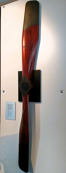
Air screw from the Sopwith Baby seaplane flown by Flight Lt. Ronald Graham of the Royal Naval Air Service to shoot down a German seaplane. Note the self-inflicted bullet holes due to lack of an interruption mechanism.
They include broadswords from the Scottish Highlands; protection against chemical warfare; letters sent home from combat by personnel; military uniforms from different eras; documents; battle flags; recruitment posters; photographs (private pics, official regimental pics, etc.), personal diaries, official documents and an impressive display of medals and decorations. It also houses a library.
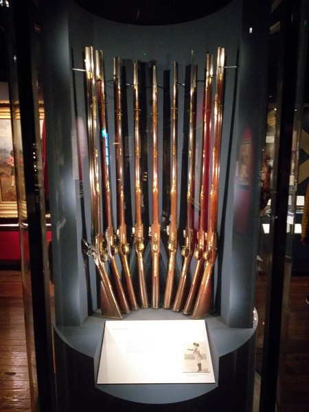
A few of the India pattern muskets provided by Sir James Grant in 1794 .
The museum was easy to navigate and the displays were well laid out and presented. However, the dim lighting system made documents and the accompanying labels hard to read and understand as well as view the photos. At the entrance is a beautifully restored 25-pounder field gun used in World War II. Artists such as David Wilkie and John Singleton Copley are represented with paintings depicting scenes of military life.
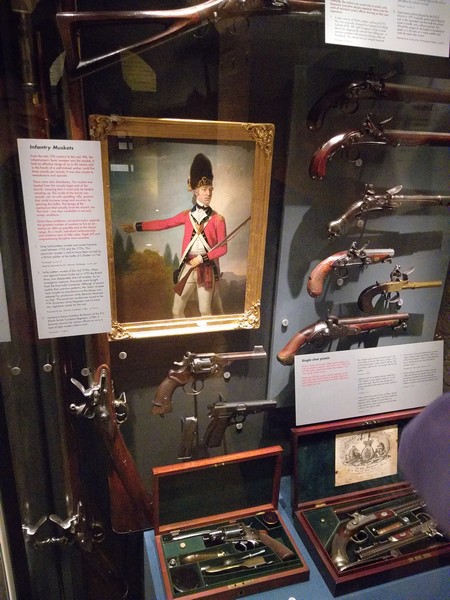
Infantry muskets. At the upper left is a portrait of Lt. Robert Hamilton Buchanan done by an unknown artist.
Gallery 1: A Nation in Arms explores how the division between Highland and Lowland, a long coastline, and access to important sea routes have influenced Scotland’s strategic importance.
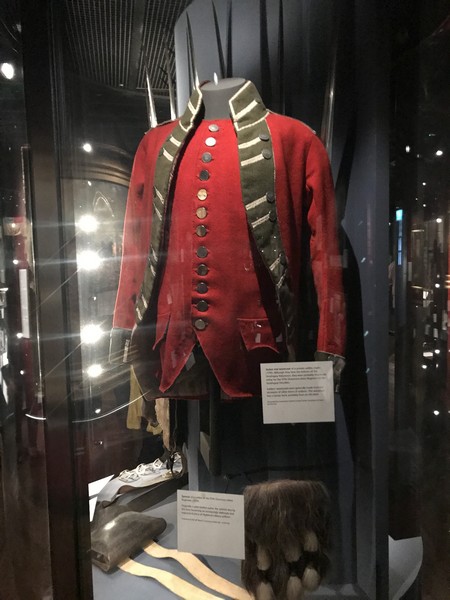
Jacket and Waistcoat
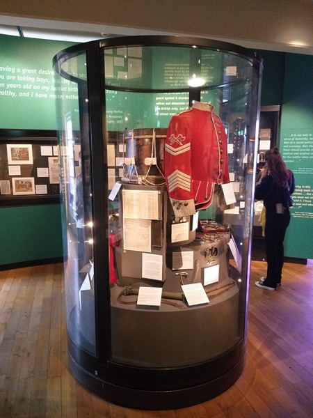
Gallery 2: A Grand Life for a Scotsman explores the daily life of Scots servicemen, from recruitment to retirement. On display are recruitment posters, uniforms, personal possessions and letters home.
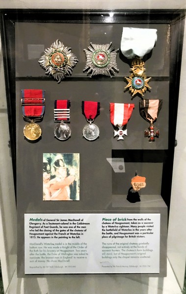
Medals of Gen. James MacDonell of Glengarry
Gallery 3: Tools of the Trade displays weapons, equipment and clothing that equip the individual for war such as Highland broadswords to modern rifles, protective suits to medical kits.
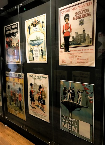
Recruitment Posters
Gallery 4: Highland Soldier tells the story of the dramatic change, from Highland rebel to military exemplar, through paintings, Highland uniforms, bagpipe music and more. This gallery houses famous works such as The Thin Red Line by Robert Gibb.
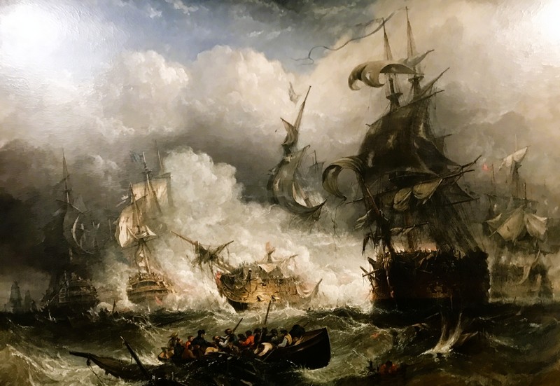
The Battle of Camperdown (William Adolphus Knell, 1848). The painting depicts the naval action, between the British and Dutch navies in 1797, where the Royal Navy was overwhelmingly victorious
Gallery 5: In Defense displays medals, mementoes, souvenirs and photographs that tell the stories of the men and women who protected Scotland on the home front.
The Storming of Tel-el Kebir (Alphonse Marie de Neuville, 1883). It depicts the decisive moment when, after a night march, the British forces stormed the Egyptian defenses in 1882.
Gallery 6: Active Service offers a personal perspective of over 300 years of warfare through collections of medals, memorabilia and weapons relating to extraordinary individuals.
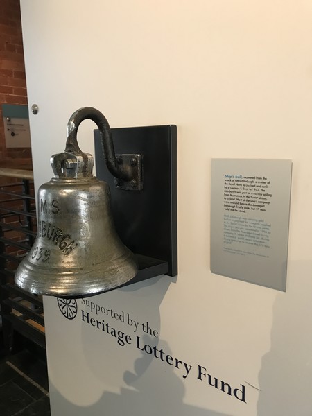
Ship’s Bell of HMS Edinburgh, a Town-class cruiser (the same as H.M.S Belfast) built on the Tyne at the Swan & Hunter shipyard, that saw much action in the North Sea and Arctic Sea before being sunk in 1942 by U-456.
National War Museum: Castlehill, Edinburgh Castle, Old Town area, Edinburgh, EH1 2NG Scotland. Tel: +44 300 123 6789. Open daily, 9:45 AM – 5:45 PM (4:45 PM, October to March). Admission to the museum is included in the entry charge for the castle.