Pitlochry
Part of Scottish Highlands Tour
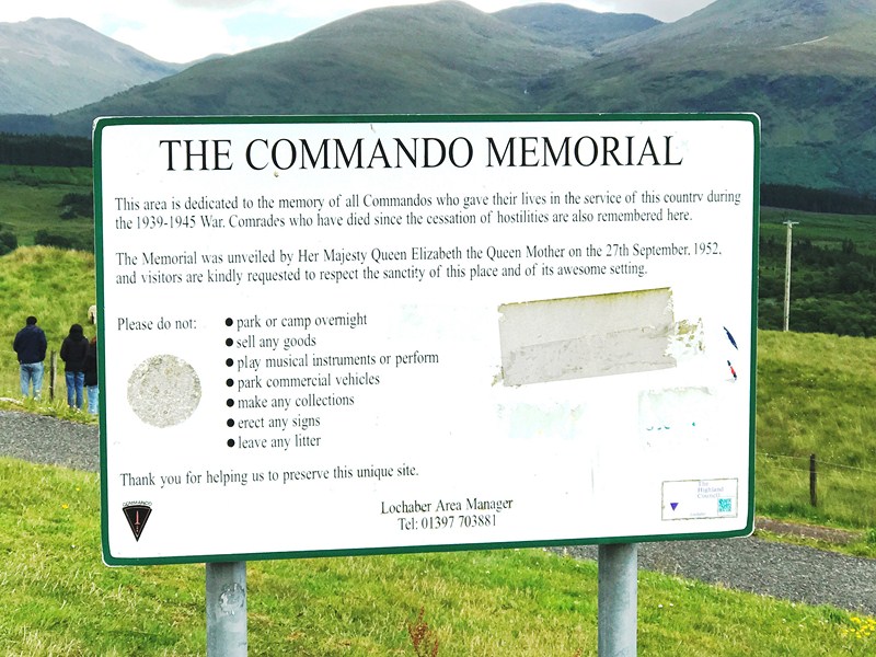
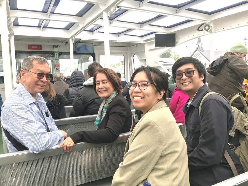
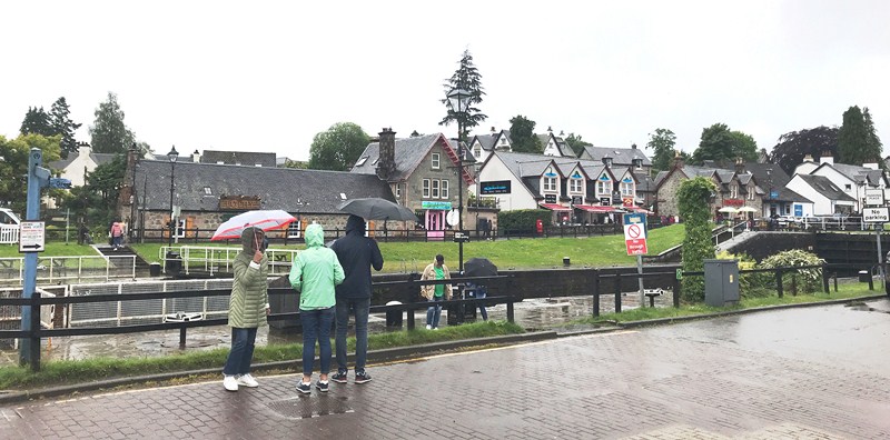
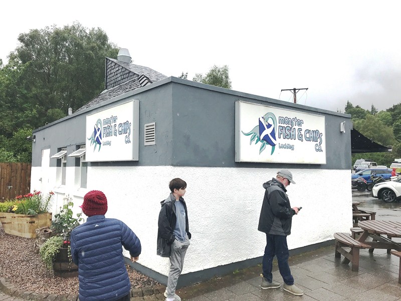
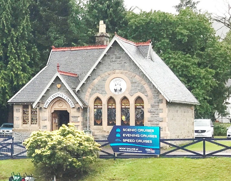
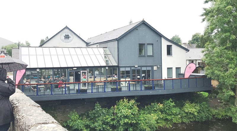
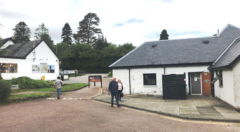
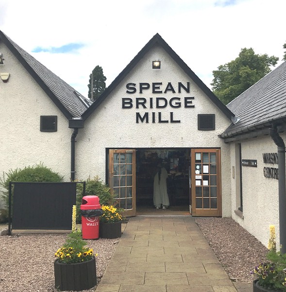
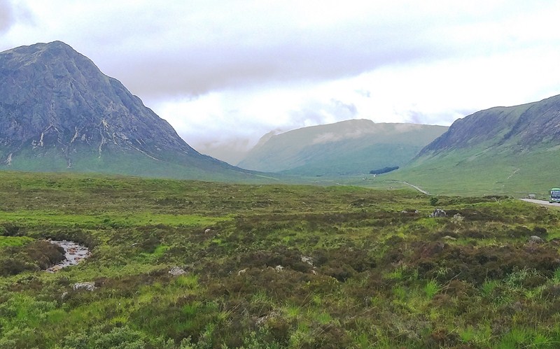
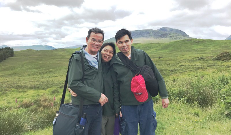
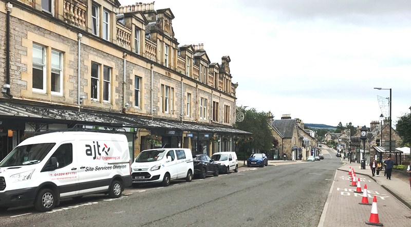
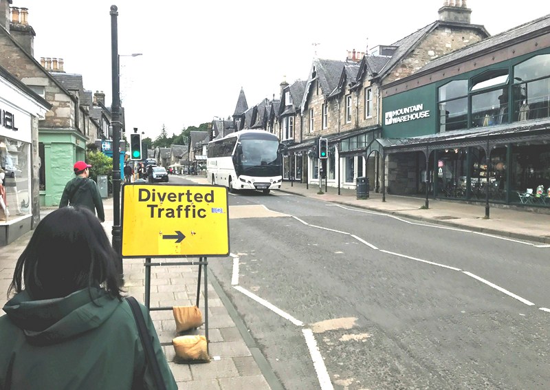
From the Commando Memorial, in Spean Bridge, we drove another 104 kms. (a 1.5 hour drive, via the A86 and A9), to Pitlochry, our last stopover. This was to be our last toilet break, prior to our return to Edinburgh, and there was a long queue at the town’s public toilet (or the “loo” as they call it), causing a lot of misery (plus they charge 50p per person for using it), so we walked, for about 320 m., along Atholl Road (the main road), to Fishers Hotel where we used the toilet for free.
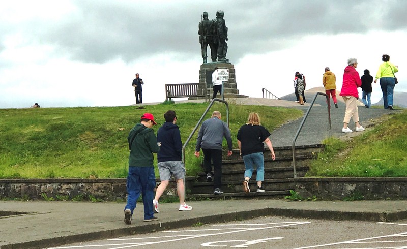
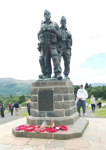
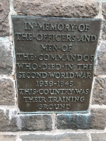
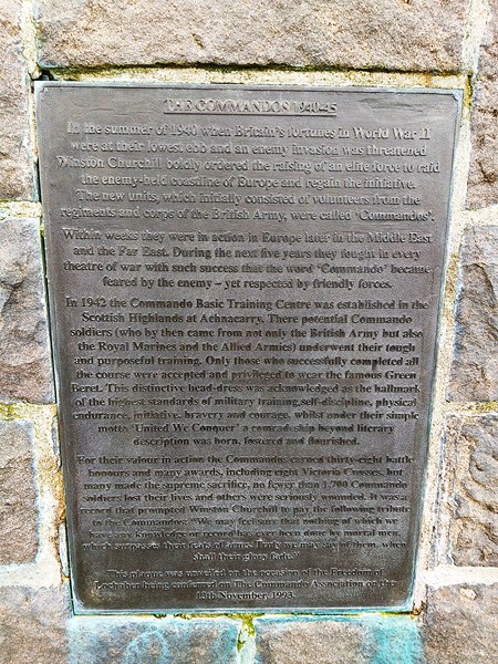
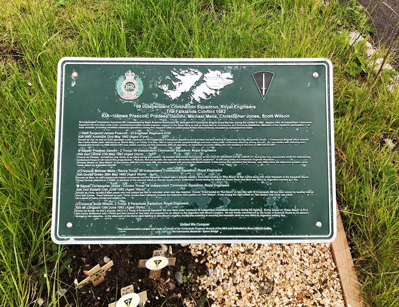
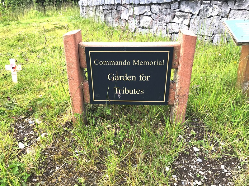
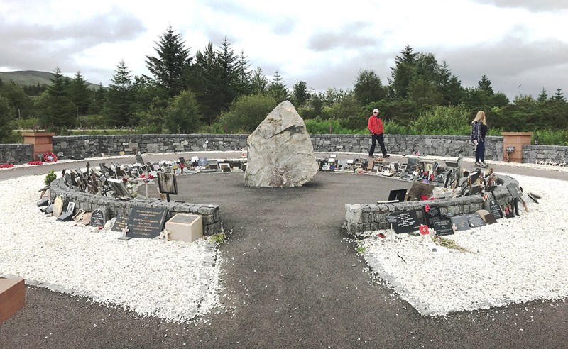
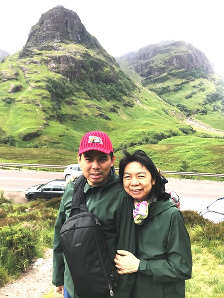
Check out “Commando Memorial” and “Spean Bridge”
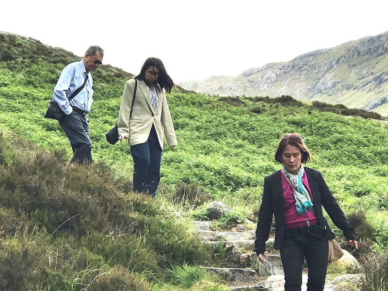
Grace and Jandy strolling along Atholl Road (the main road). On the other side are the unusual period cast iron canopy.
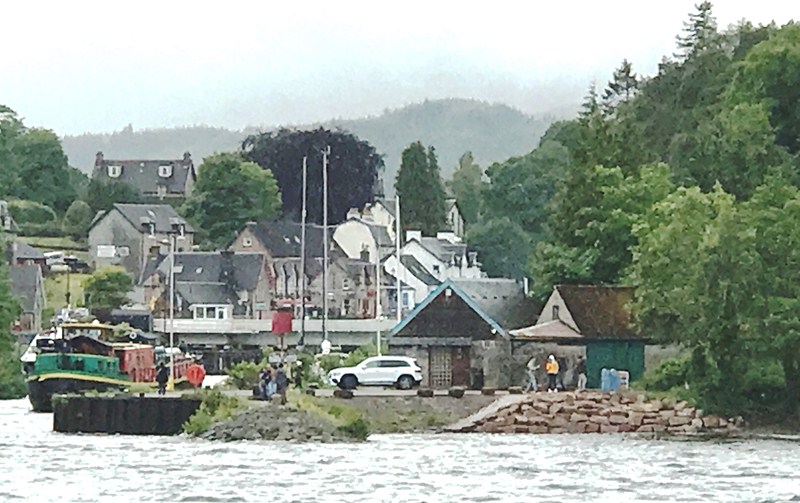
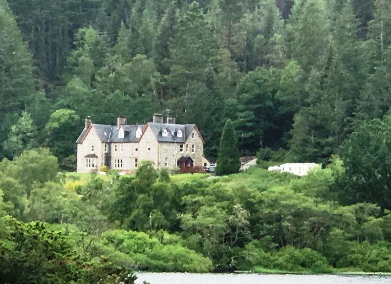
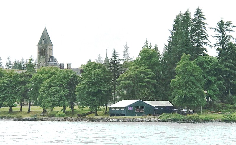
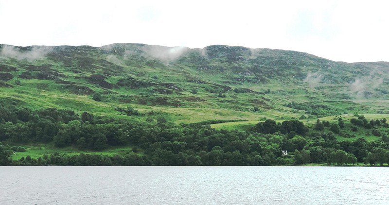
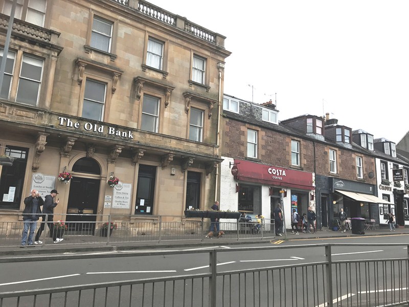
This town, lying on the River Tummel, in the Perth and Kinross council area of Scotland is, historically, in the county of Perthshire. Largely a Victorian town, it was developed into a tourist resort after Queen Victoria and Prince Albert visited the area in 1842 and bought a highland estate at Balmoral, and the arrival of the railway in 1863. Popular as a base for coach holidays, it is particularly known for its Pitlochry Festival Theatre and salmon ladder.
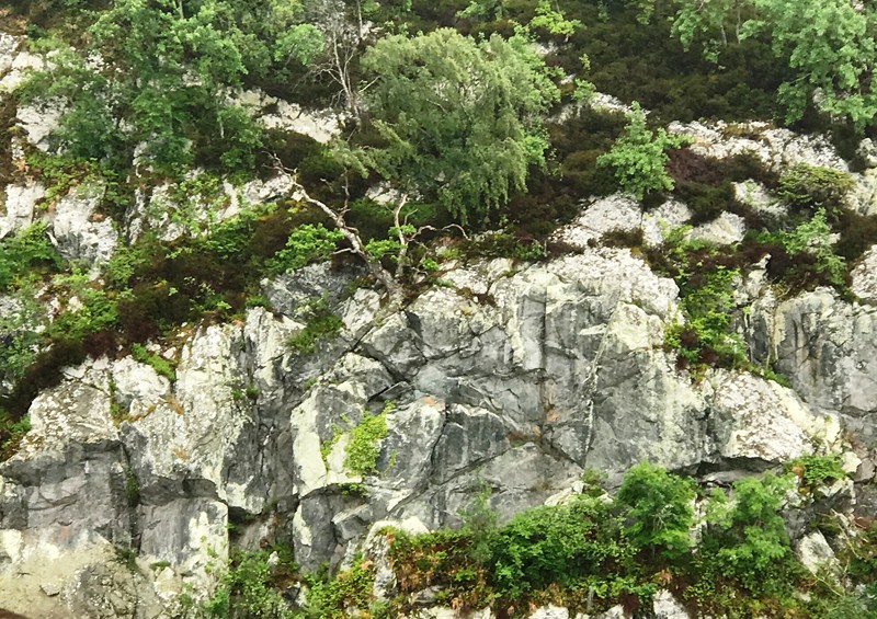
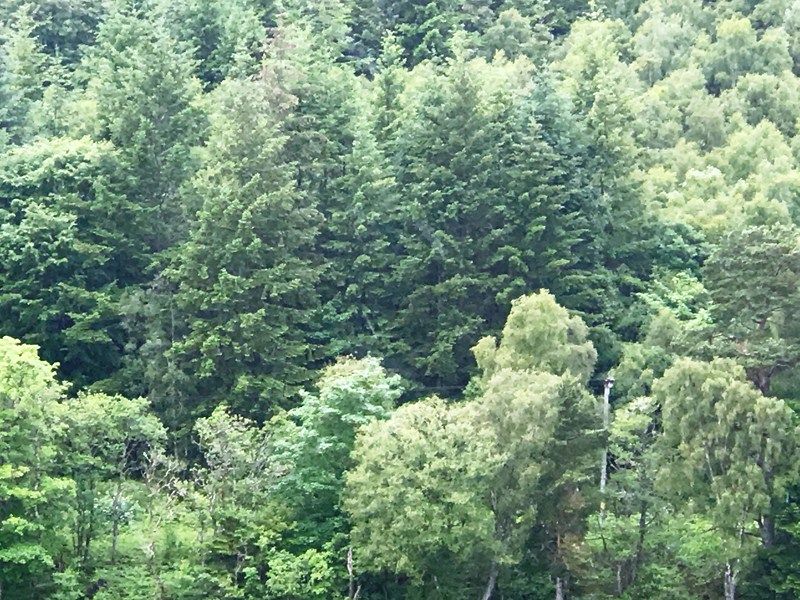
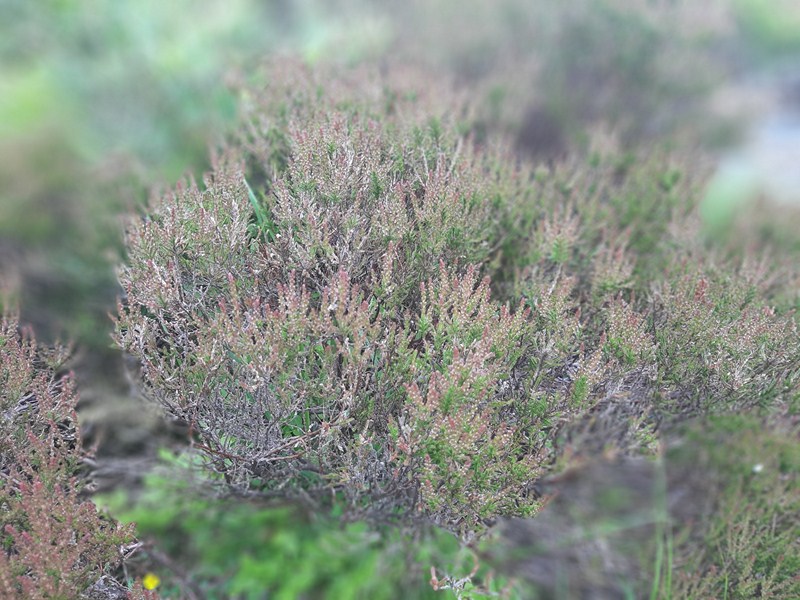
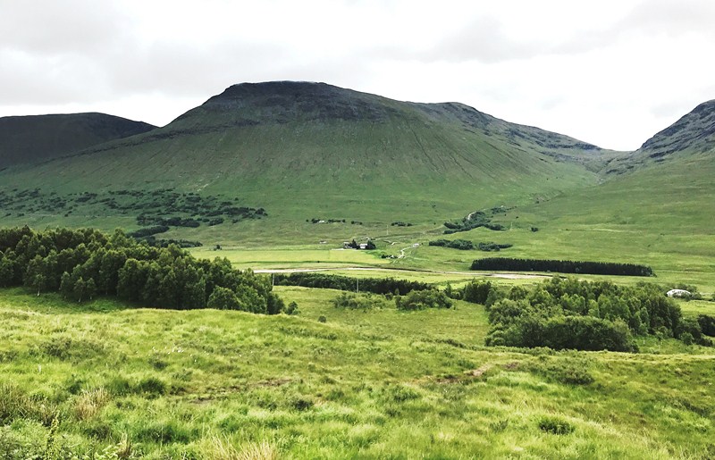
Surrounded by mountains such as Ben Vrackie and Schiehallion, it also a centre for hillwalking. The town has retained many stone Victorian buildings and the high street has an unusual period cast iron canopy over one side. The town has two whisky distilleries, whose visitor centers are popular attractions. The privately owned Edradour, the smallest legal distillery in Scotland, sits to the east of town at the foot of the Moulin Moor and produces only 12 casks per week with a production workforce of three men.
The last example of a traditional distillery, it has remained unchanged since it started making whisky, and is hugely popular with visitors. Blair Athol Distillery, which dates back to 1798, sits on the main road at the southeast of town and, since 1933, has been owned by Bell’s, now part of the Diageo group. Pitlochry station is home to Pitlochry Station Bookshop. The bookshop was set up in 2005 and is situated on Platform 1.
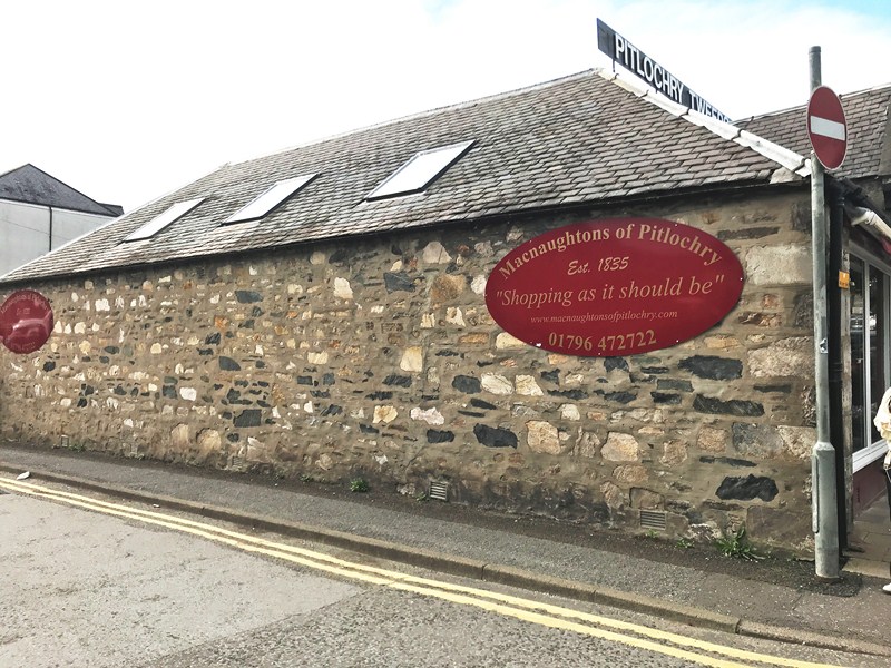
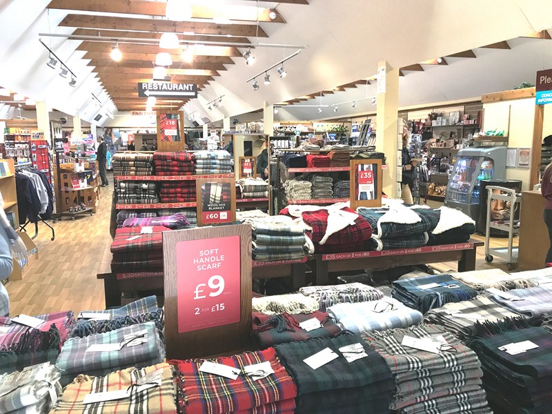
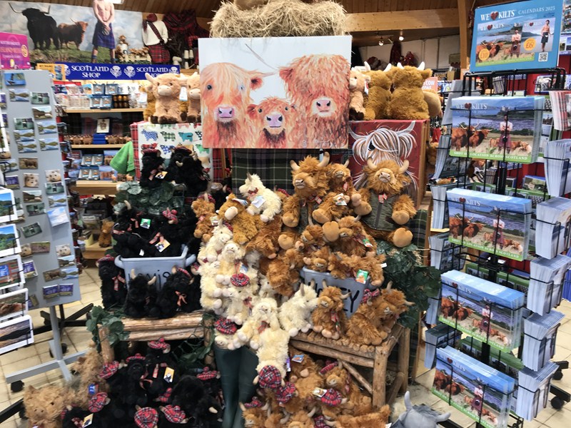
MacNaughtons of Pilochry
MacNaughtons of Pitlochry, one of Scotland’s oldest retail establishments (dating back to 1835 in the reign of William IV), is a traditional country and highland clothing retail shop with the finest formal kilt wear knowledge of tartans and kilt outfit accessories.
Back on board our bus, we arrived back in Edinburgh by 8:30 PM and we were all dropped off at our original meeting place at Deacon’s House Cafe. From there, we all walked back to our respective hotels.
MacNaughtons of Pitlochry: Station Road, Pitlochry, PH16 5AF United Kingdom. Tel: 01796 472722. Open Mondays to Saturdays, 9.30 AM – 4.30 PM. .Email: sales@macnaughtonsofpitlochry.com.
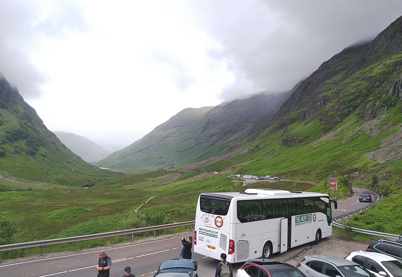
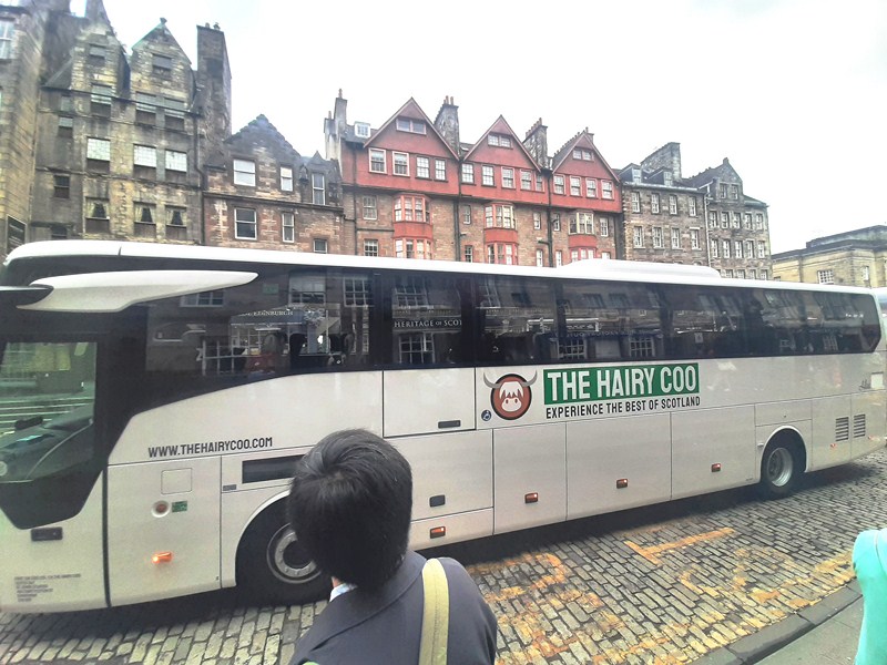
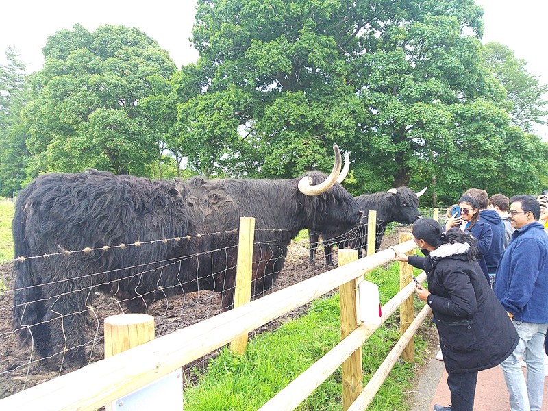
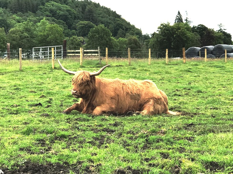
The Hairy Coo: Suites 6 & 7, Administrative Office Only, St. John’s Studios, 46A Constitution St., Leith, Edinburgh EH6 6RS, United Kingdom. Tel: +44 131 212 5026. E-mail: contact@thehairycoo.com. Website: www.thehairycoo.com.
How to Get There: Pitlochry is located 114 kms. (a 1.5-hour drive, via A9 and M90) from Edinburgh and 134.2 kms. (a 1.5-hour drive via A9) from Glasgow.