Extension Ridge Trail Loop (British Columbia)

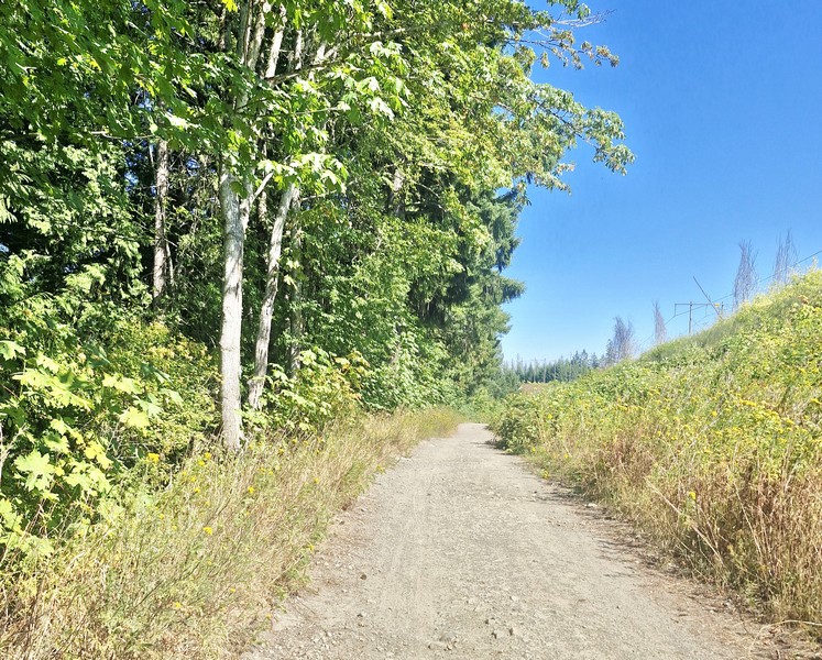
Part of the Extension Ridge Trail Loop exposed to the sun

From Morden Colliery Regional Trail, it was a short, 102-km. (15-min.) drive, via Cedar Rd. and Extension Rd., to the Extension Ridge Trail Loop, a moderately-rated loop trail that features a rocky and forested setting and is famous for “The Abyss,” a large and dramatic ground fissure. We parked our car at a free roadside parking along Harewood Mines Road, near the power lines. 

Check out “Morden Colliery Regional Trail”
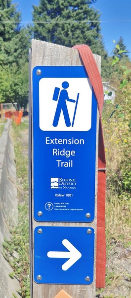
The trail was a 9.2-km. (5.8-mi.) loop, which takes about 2.5 to 3 hours, but we just opted for the shorter, direct 2.9-km. (1.8-mi.) out-and-back hike, which takes about an hour, as we just wanted to visit the crack. Parts of the well-used dirt trail are exposed to the sun and, as it was a bright sunny day, the hike was quite tiring and draining with the limited shade available.  There were also some tree roots and uneven rocky terrain underfoot plus a steady climb with roughly 80 m. (255 ft.) of elevation gain.
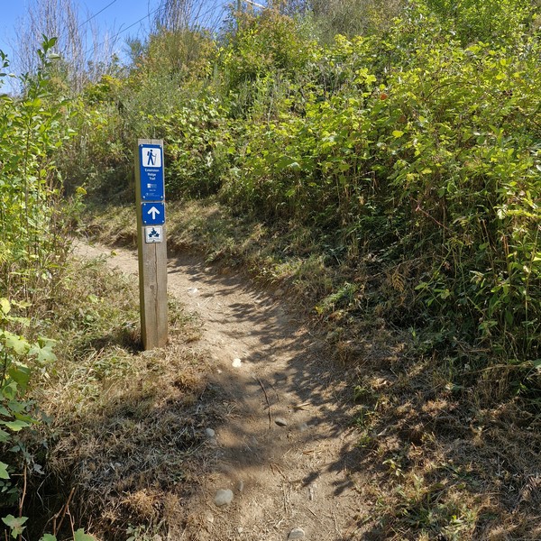
The steady climb up the trail

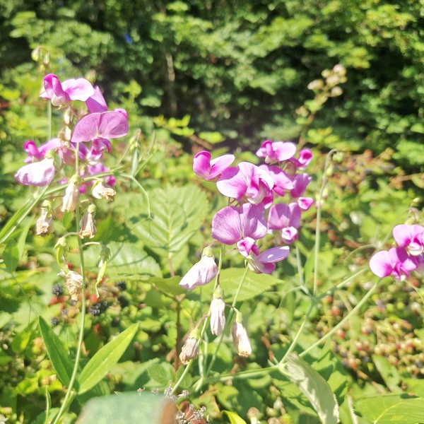
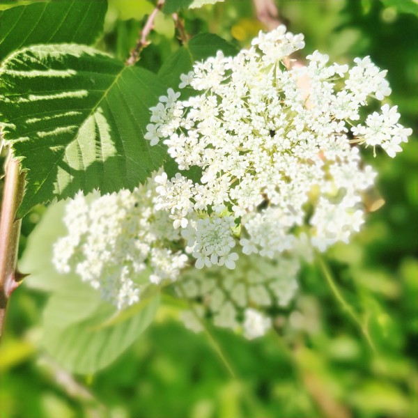
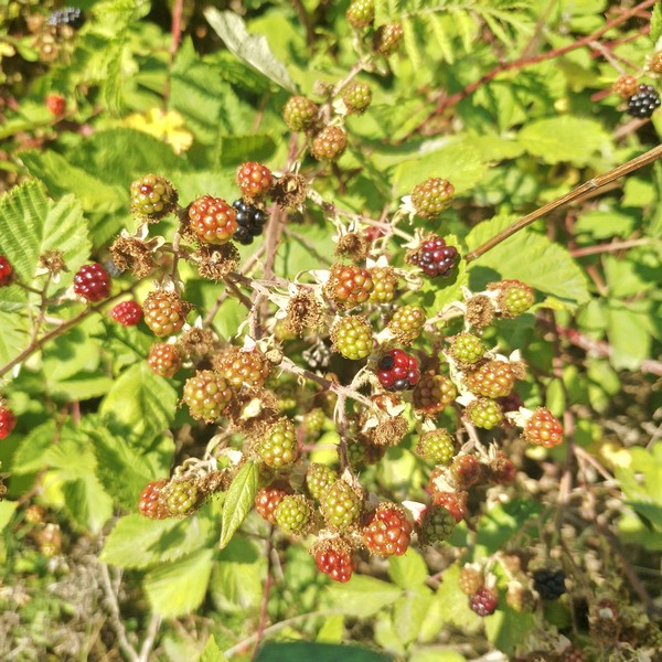
Still, you can’t help but admire some of the wildflowers along the way such as Golden Crownbeard (Verbesina enceliodes), Common Tansy (Tanacetum vulgare), Little Larkspur (Delphinium bicolor) and Sitka Valerian (Valeriana sitchensis) as well as edible Canada Blackberry (Rubus canadensis).
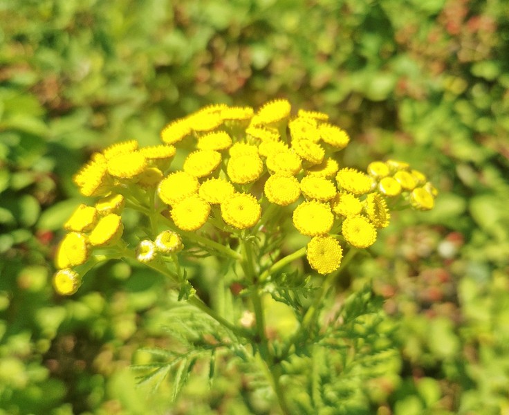
Common Tansy (Tanacetum vulgare)
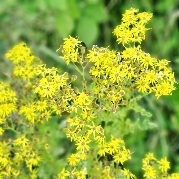
Golden Crownbeard (Verbesina enceliodes)
Little Larkspur (Delphinium bicolor)
Sitka Valerian (Valeriana sitchensis)
Canada Blackberry (Rubus canadensis)

Approximately 1.5-km. into the trail we arrived at what locals popularly call “The Abyss,” a narrow earthquake fissure or deep, sharp-edged crack in the rock, about 0.40 mm. (16 in.) wide, at least 8 m. deep, and stretching roughly 40 m., with smooth exposed rock.  Around it were striking groves of native arbutus trees (Arbutus menziesii), with twisting orange-red trunks and peeling bark, growing directly out of exposed, mossy sandstone and conglomerate rock.
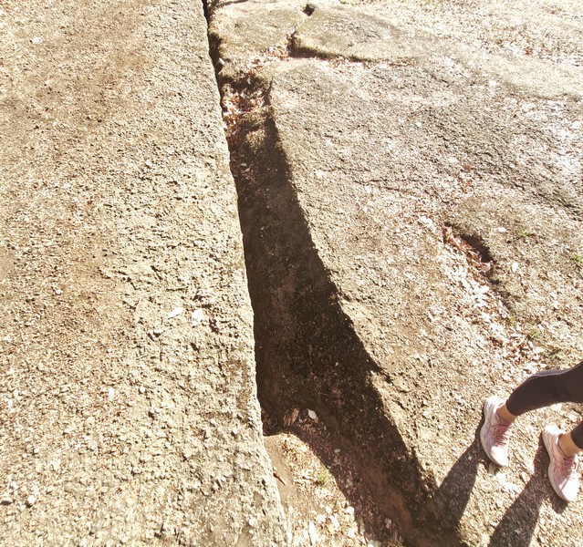
The Abyss

I felt a bit surreal realizing that I was standing beside a natural fracture created by the movement of the earth. However, while popularly attributed to tectonic shifts, local experts debate whether it is purely a prehistoric seismic/earthquake fault or exacerbated/caused by shallow historic underground extension coal workings that weaken the sandstone and conglomerate strata, causing it to collapse. Similar subsidence holes, cracks, and depressions occur around historic mining regions on Vancouver Island.
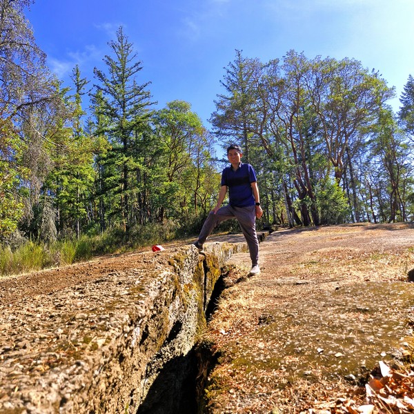
The author at the Abyss

There were no railings, so we had to keep a safe distance from the edge as there was a risk of falling into the gap which was wide enough for most people, especially children, and dogs (our dog Luffy was on-leash) to fall into. We also heard distant gunshots from active live fire exercises from a Department of National Defense (DND) rifle and weapons range off Lincoln Road, about 1 km. away. Their active military danger and buffer zones are strictly closed off and trespassing is prohibited.
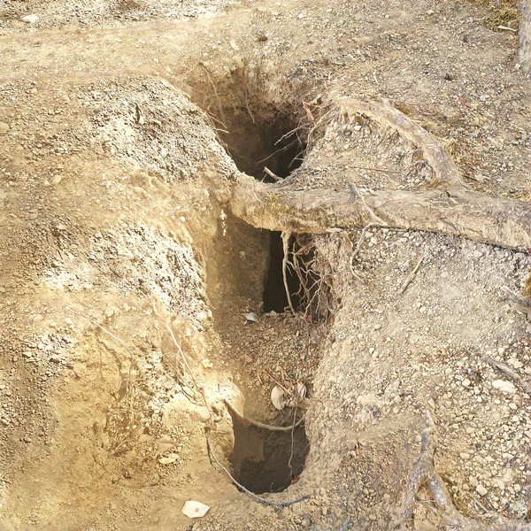
One of the smaller fissures

Past the main Abyss site, just off the beaten track, are narrower and shorter splits or fissures in the surrounding sandstone bedrock found tuck away in the forest and rocky sections, often hidden by arbutus trees, moss and forest debris
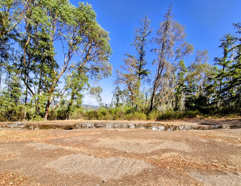
Groves of native arbutus trees (Arbutus menziesii)

Extension Ridge Trail Loop: 540 Virostko Rd. Extension, Nanaimo, British Columbia V9X 1E8.

How to Get There: This area can be accessed from a number of locations including from McKeown Way, Lotus Pinnatus Way, the Village of Extension, and the neighborhoods west of Extension Rd.
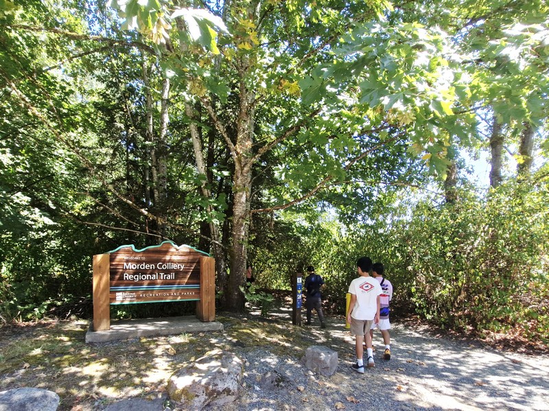
Morden Colliery Regional Trail (Nanaimo, British Columbia)

From Petroglyph National Park, it was just a short 10.1-km. (15-min.) drive to the 1.1-mile Morden Colliery Regional Trail (MCRT), a segment of a historical rail corridor that has become a popular regional and community route for walking, nature appreciation, horseback riding and cycling.

Check out “Petroglyph National Park”

The Morden Colliery Regional Trail

This small 4-hectare provincial park, in south Nanaimo, gives you access to the only remaining coal tipple (a structure that loads coal into rail cars, much like a grain elevator unloads grain) on Vancouver Island. Not well-known, it can easily be considered a Vancouver Island hidden gem.

Known for its historical significance and natural beauty, this 4 km-long corridor of Provincial Crown Land located between Morden Colliery Historic Provincial Park (maintained and managed by the Regional District of Nanaimo), in South Wellington, and  Hemer Provincial Park in Cedar, is a unique, must-visit destination for anyone interested in Vancouver Island’s history or for those simply looking for a peaceful outdoor escape.

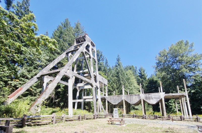
The concrete tipple

Because there is currently no bridge crossing the Nanaimo River, within the MCRT, the trail network of the MCRT consists of two separate segments – the 2 km-long North Segment, between Cedar Road and Hemer Provincial Park, and the 1-km. long South Segment between MCRT to the Nanaimo River. The Central segment of the MCRT, which runs approximately 1 km. through agricultural land from the Nanaimo River to Cedar Road, is currently undeveloped and requires two bridges to span the Nanaimo River.

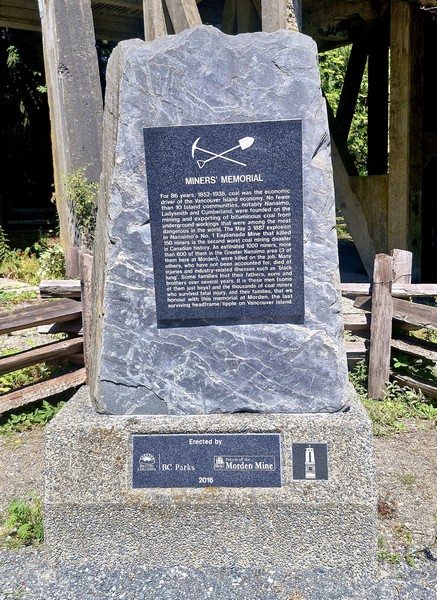
The Miner’s Memorial at the base

The MCRT runs along an old rail grade used to move coal, during the early years of the 20th century, from the mines of South Wellington to Boat Harbour. Between 1852 and 1938, coal mining was the main economic driver on Vancouver Island, and 10 small towns, notably Nanaimo, Ladysmith and Cumberland, were built because of it. In 1912, Pacific Coast Coal Mines, Ltd. (PCCM) began developing Morden Mine and, in its first year of operation, the Morden Mine produced 76,000 tons of coal.

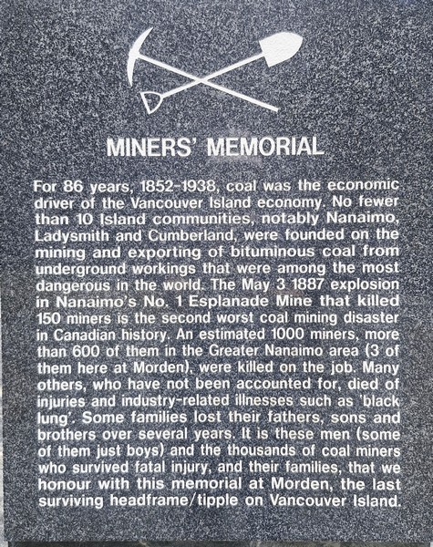
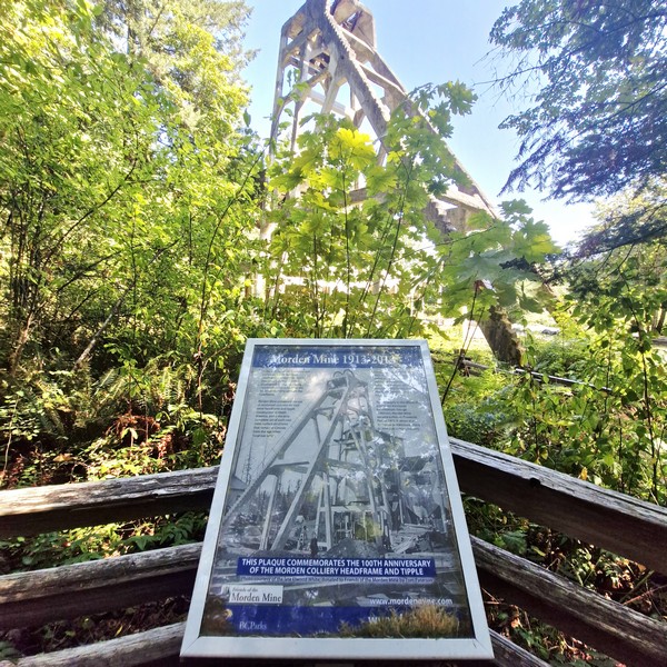
The memorial plaque

However, from 1913 to 1914, a miners’ strike disrupted operations. During that time, a 22.7-m. (74.5-ft.) high reinforced concrete head-frame, the first in the district, was constructed.

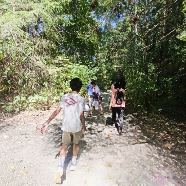
Hiking the RDN Trail

Despite modern equipment and investment, Morden Mine was not as successful as investors had hoped and never succeeded. After the strike ended, underground work resumed, but the mine struggled with poor air quality, causing frequent illnesses among the miners.  Between union strikes and unfavorable economic conditions, production stopped in 1921 and the closure caused PCCM to go bankrupt the following year. In 1930, the Canadian Coal and Iron Co. rehabilitated the mine, but production didn’t even last a full year, and the mine officially closed in 1931.

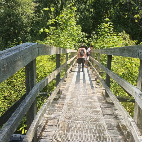
Crossing a wooden bridge along the trail
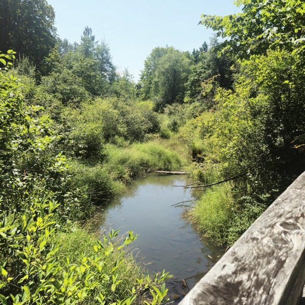
A creek we had to cross via the bridge

In 1972, to protect and preserve remnants of the Nanaimo region’s coal mining history, the area was turned into a provincial park (largely due to the efforts of George Wilkinson, a prominent Vancouver businessman) and recognized as a National Historic Site of Canada but, despite the designation, little was done to preserve the remaining structures. In 2003, “Friends of Morden Mine,” a group of concerned citizens, got together to try to save the remains.

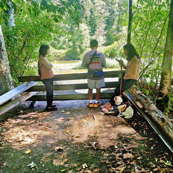
The viewpoint at the end of the trail

In 1995, the Regional District of Nanaimo (RDN), under license from the Province of British Columbia, initiated development of the MCRT corridor for recreational trail use. In 2019, the Government committed $1.4 million to restore the concrete headframe and tipple structure at Morden Colliery Historic Provincial Park.  Consequently, at the same time, improvements were made at the park.

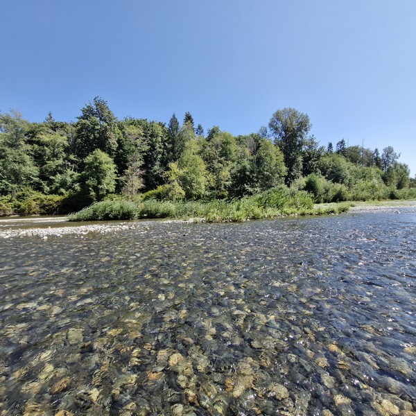
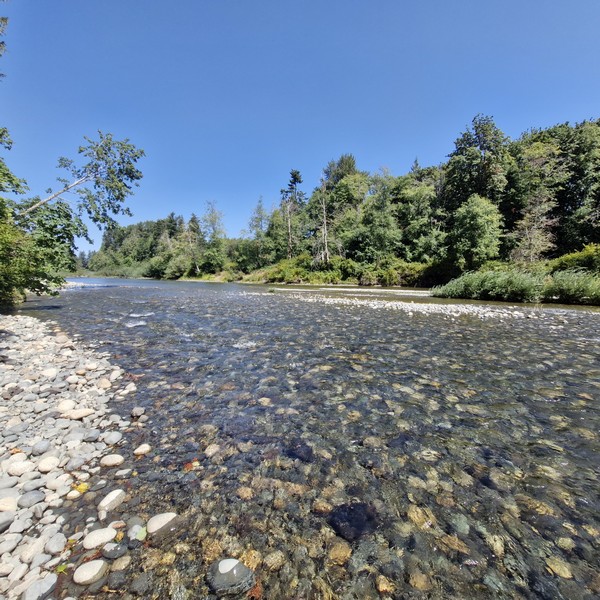
The Nanaimo River

Upon arrival at Morden Colliery Historic Provincial Park, we parked the car just across the concrete Morden Mine tipple, its remaining concrete head-frame standing as a rare monument to Vancouver Island‘s coal mining history.  The first of its kind in North America (before 1913, tipple were usually made of wood) it is, ironically, one of only two left standing (the other is the O’Gara Coal Mine No. 12 Tipple, built in 1923, in Muddy, Illinois) and the only one in Canada.


A memorial, at its base, commemorates the estimated 1,000 miners who were killed doing this very dangerous job, with 600 in the Greater Nanaimo area and 3, in particular, at the Morden Mine, as well as the unfortunate workplace deaths that do not include those who died of industry-related illnesses, such as black lung, of which there were many.

The Miner’s Trail

From Morden Colliery Historic Provincial Park, we first hiked the wide, 1.2-km. long and fully accessible gravel path, with two wooden bridges, developed by the RDN. The RDN Trail lead to a view deck overlooking a quiet and tame section of the Nanaimo River. Currently, one can only cross the river on foot (getting wet in the process) but, eventually, the RDN hopes to build a bridge connecting Morden Colliery Historic Provincial Park with Hemer Provincial Park in Cedar.

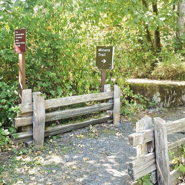
Back at Morden Colliery Historic Provincial Park, we then walked along the short Miners Trail that follows the old rail grade used to move coal at the mine.  There were plenty of signs to guide us.  Along the way, we saw remnants of the mining operation that once took place here.

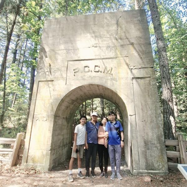
Kyle, the author, Grace and Jandy under The Arch

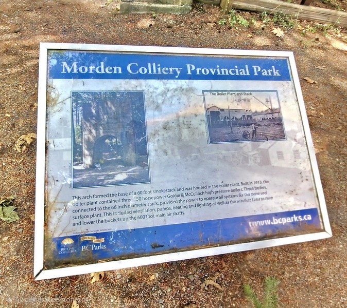
The concrete “Arch,” the surviving heavy structural base of a 60-ft. high, 56-in. diameter industrial smokestack, was built around 1913 by the Pacific Coast Coal Mines (PCCM), and once supported the boiler plant (with 3 150 horsepower Goldie & McCulloch high pressure boilers) that powered the historic mine site’s ventilation, pumps, heating and lighting as well as the winches to raise and lower the buckets up the 600-ft. main air shafts.

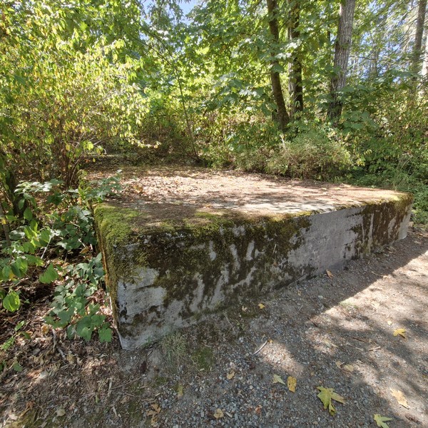
Remains of the concrete foundation

Near the towering headframe ruins are the foundations and structural remnants of the hoist house that housed the electric winding engines and heavy cable spools used to operate the skip/cage system, the electric winding machinery to raise and lower workers and coal cars via dual steel cables sunk roughly 180 m. (600 ft.) down to the main coal seam, in the concrete headframe.

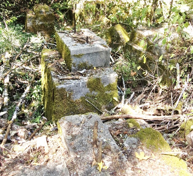
Another remnant of the concrete foundation

Morden Colliery Regional Trail: 1L7, 1840 Cedar Rd., Nanaimo, British Columbia V9X 1H9.  Tel: (250) 390-4111.

How to Get There: Morden Colliery Historic Provincial Park is located 7 kms. south of Nanaimo. It is accessible off Highway 1 on Morden Road.

Petroglyph Provincial Park (Nanaimo, British Columbia)

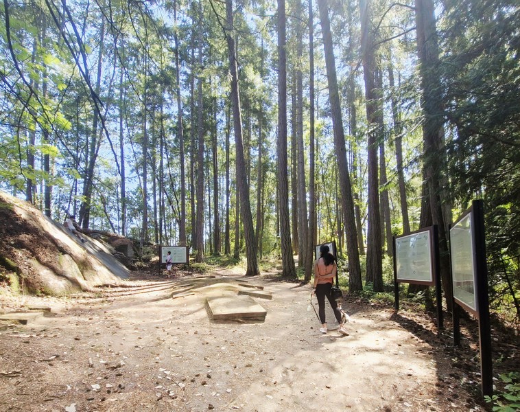
On our second whole day in Nanaimo, we decided to visit the small, 2-hectare Petroglyph Provincial Park, a short 8.2-km. (15-min.) drive from our motel. From the parking lot, a short walkway lead to an interpretive area with information boards that offer details about the history of the area and help to decipher the petroglyphs.

Main interpretive area at Petroglyph Provincial Park with casts and information boards

Established on August 24, 1948, the provincial park protects a remarkably high concentration of petroglyphs, date to at least the 10th century CE,  found near the estuary of the Nanaimo River.  These carvings depict mythological sea creatures, human figures, and animals that are symbolic of the spiritual and cultural history of the Coast Salish and Snuneymuxw First Nations.

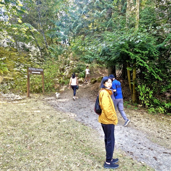
Cheska, Kyle, Grace and Jandy at the entrance of the park trail

The locations of these traditional prehistoric rock art carvings were chosen carefully, almost always made at places of power or mystery, where forces of nature were believed to be especially strong. These areas are usually marked by a natural feature such as a waterfall,  rock formation or caves, and most are near water.

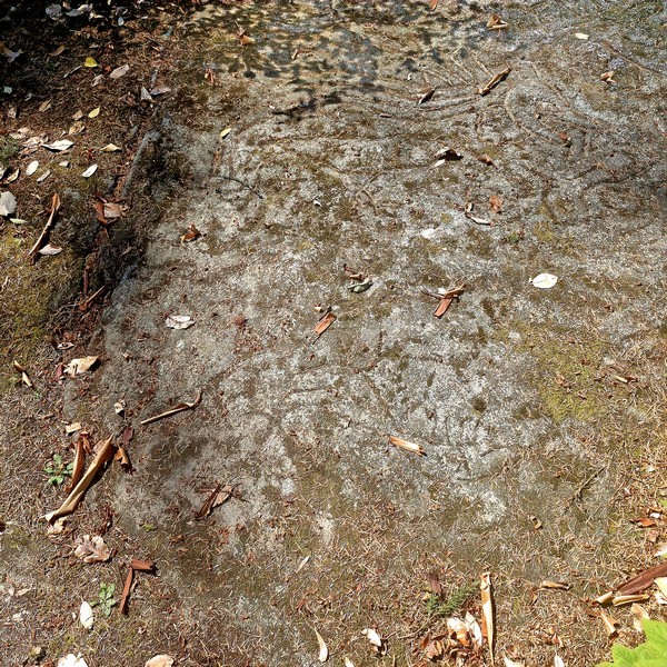
Hard to verify, but I’m guessing this is one of the original petroglyphs.

Slightly further up the trail is the large sandstone gallery area, located on a hill overlooking Nanaimo Harbor, covered in the real petroglyphs and moss. The images, depicting everything, from mystical wolf-like creatures to fish and human figures, were made for a variety of reasons, including territorial ownership and to commemorate special events among a people with no written language.

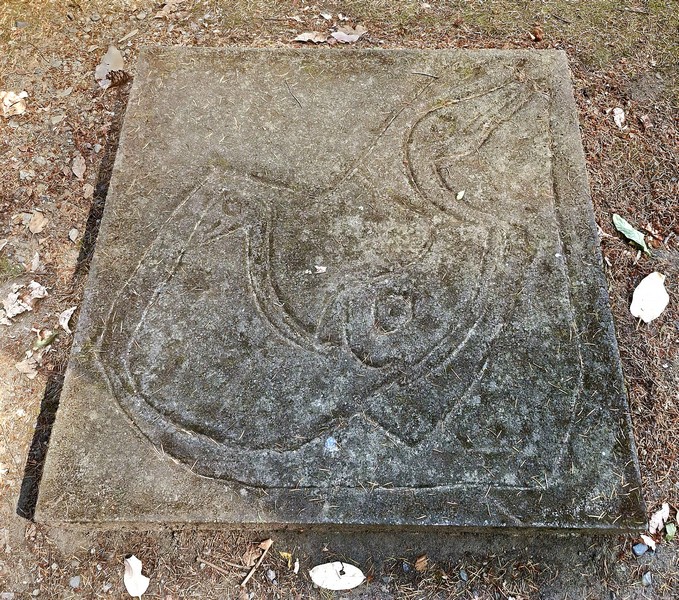
A cast of a pteroglyph, probably a mythological sea creature

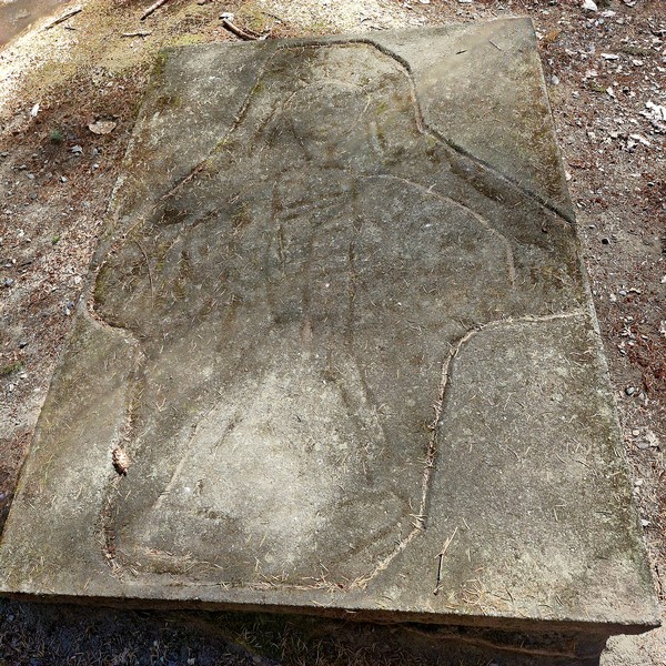
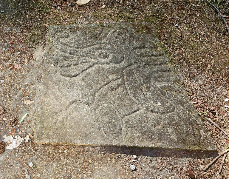
Eight concrete replica castings of the petroglyphs can be found in the main interpretation area. Here, visitors can make rubbings of the castings by stretching cloth or paper across the carving and lightly rubbing with a crayon, charcoal or wax, which leaves a reverse imprint. These rubbings make a great souvenir of a visit to this intriguing and educational park. 

A cast of a petroglyph, probably a human figure

To protect the petroglyphs and surrounding vegetation, we stayed on the designated trails. Over or near to the original ancient indigenous artwork are more modern unauthorized rock carvings, including English letters, added by vandals.

A cast of a petroglyph, probably a wolf-like creature

Petroglyph Provincial Park: .990-960, Trans-Canada Highway, Nanaimo, British Columbia.  Tel: (250) 474-1336. Open daily, 7 AM – 10 PM.  Coordinates: 49°08′27″N 123°55′36″W.

How to Get There: It is located 4 kms. (2.5 mi.) south of the city of Nanaimo, on a hill overlooking Nanaimo Harbour. Access to the park is via a pull-off from Highway 1. Watch for signs. The parking area is a pull off, next to Highway 1. From there, it is a short walk to reach the petroglyphs, less than 500 m. in a loop.