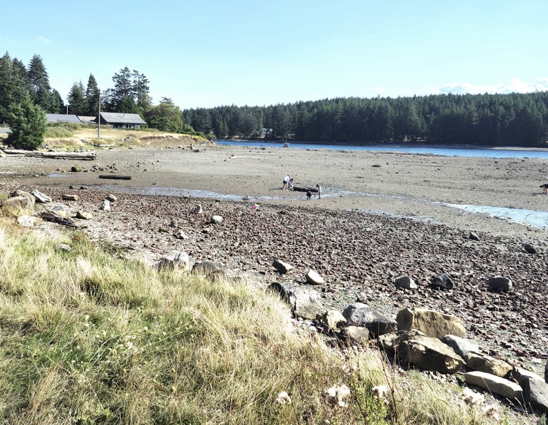
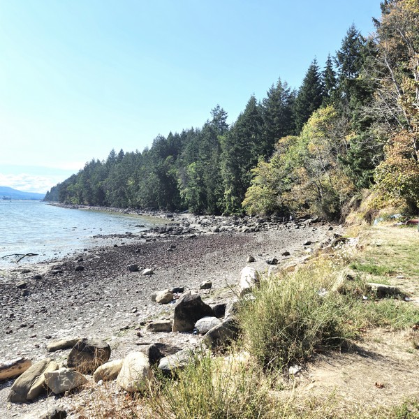
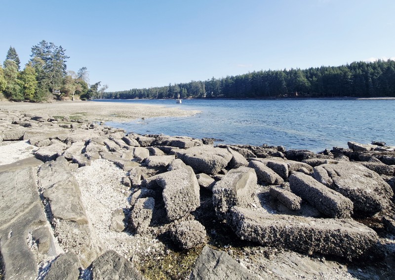
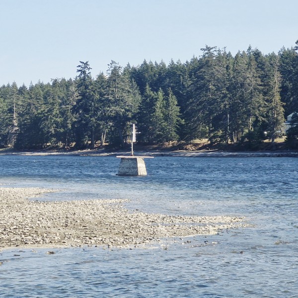
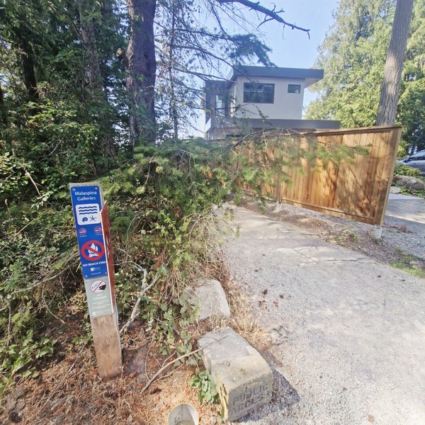
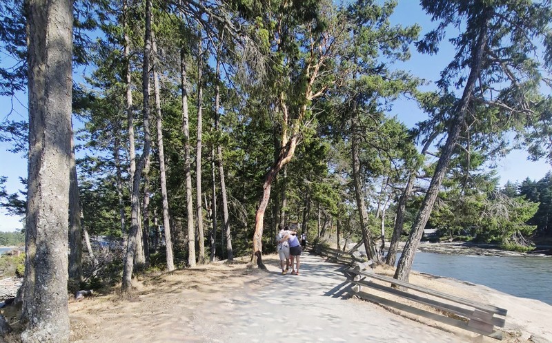
From Brickyard Beach, it was a short 8-km. (12-min.) drive to the 55-hectare (140-acre) Drumbeg Provincial Park at the east coast of Gabriola Island, overlooking the scenic Gabriola Passage. It is one of the most relaxed and scenic spots on Gabriola, and an easy day trip from Nanaimo. A popular area for diving, hiking, nature viewing, sunbathing and picnicking, facilities at this park include a grassy field, pit toilets, picnic tables, hiking trails and an information shelter.
Check out “Brickyard Beach”
Interpretive signage (donated by the Heartland Conservancy Group and the Gabriola Theatre Club), located at the information shelter in the day-use areas, offered information about the protected endangered Garry oak ecosystem and meadows (a rare and ecologically sensitive habitat that is especially pretty in spring when the wildflowers come out), undeveloped Douglas fir forest landscapes and the diverse marine zone in the park. Along with a number of intertidal creatures, bald eagles, great blue herons, harbor seals and American oystercatchers can be spotted here.
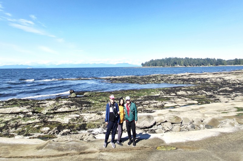
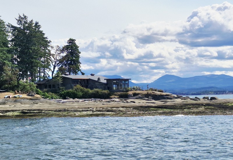
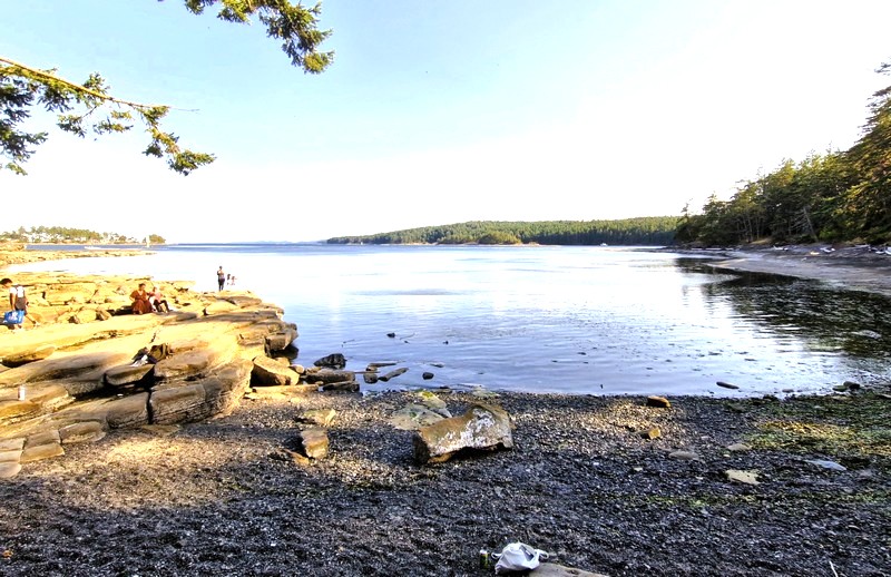
Managed by BC Parks, this day-use only provincial park (one of three provincial parks on Gabriola Island, the others being Gabriola Sands Provincial Park on the northwest shore and Sandwell Provincial Park on the northeast shore) was established in 1971. Offering excellent views of the Strait of Georgia and the Coast Mountains on the mainland, the shoreline here is the main draw.
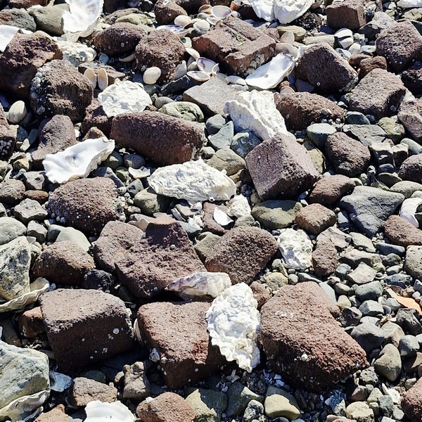
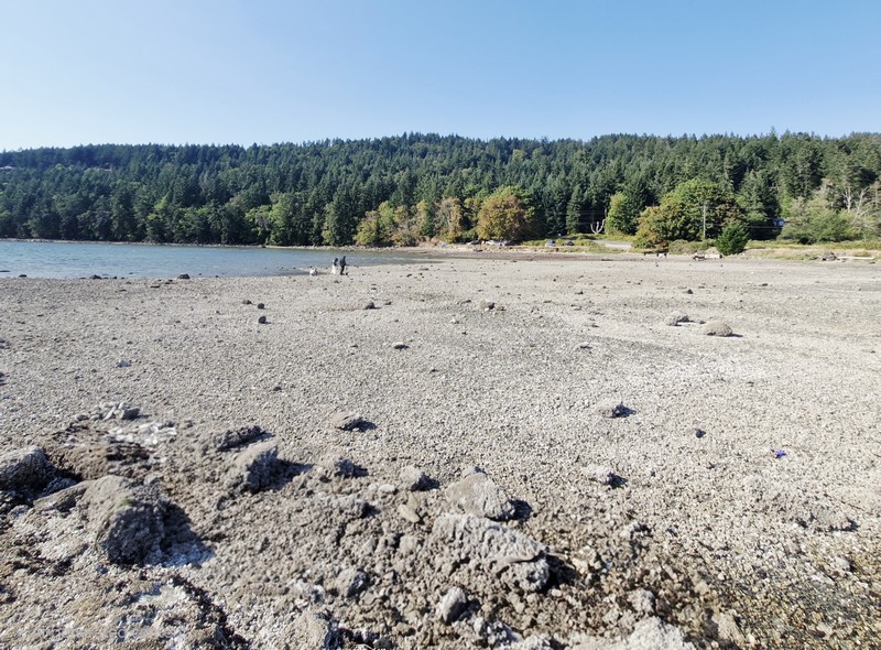
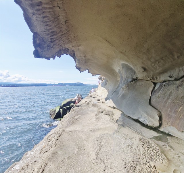
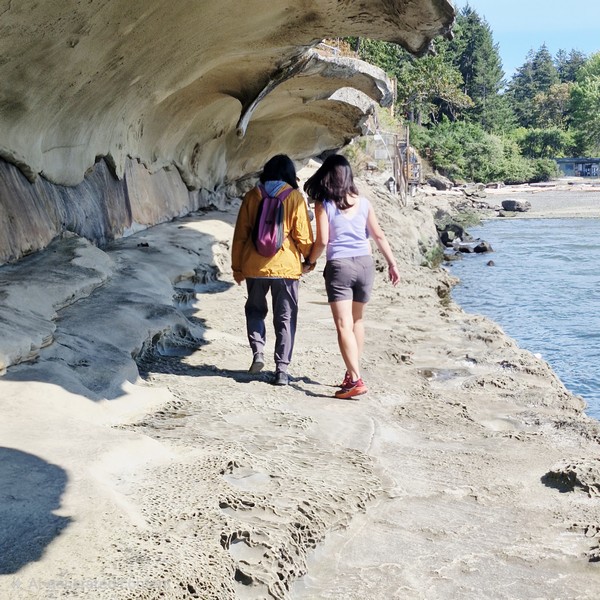
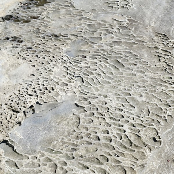
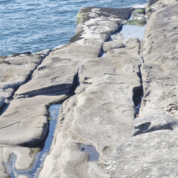
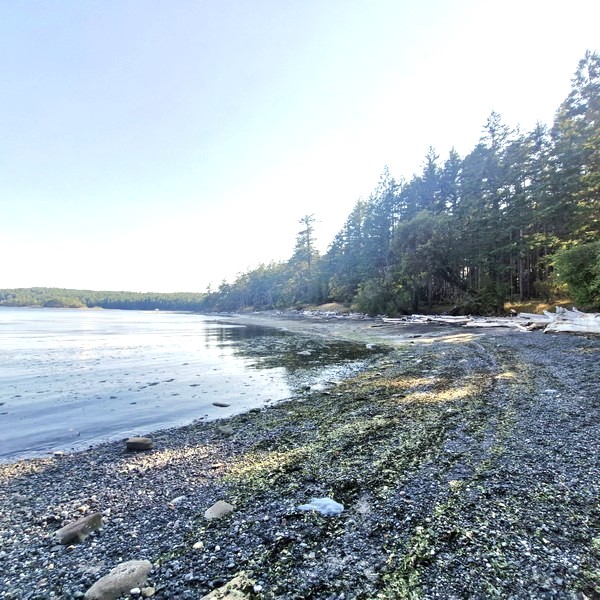
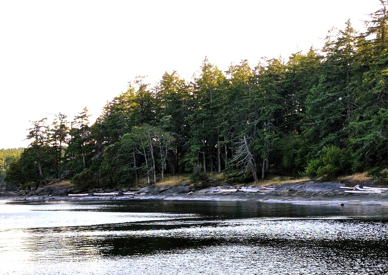
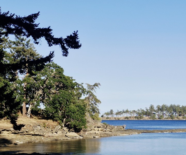
The park contains a kilometer-long sand and pebble beach, which curves around the bay, with unique and striking, sculpted sandstone and conglomerate rock formations that Gabriola is known for, best seen and fully exposed at low tide (the time we arrive). The formations include shelves, ridges, and pockets that, though the terrain is uneven, are fascinating to explore and walk across.
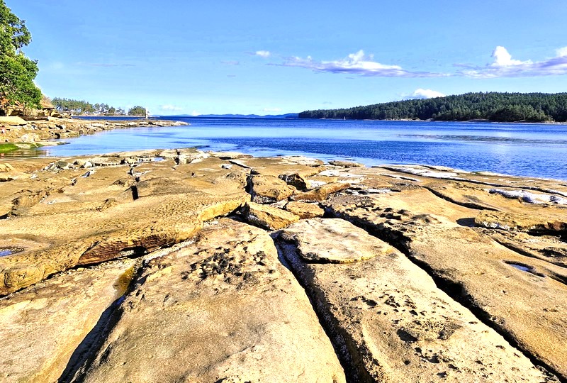
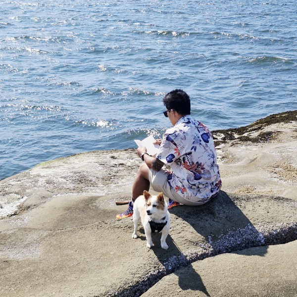
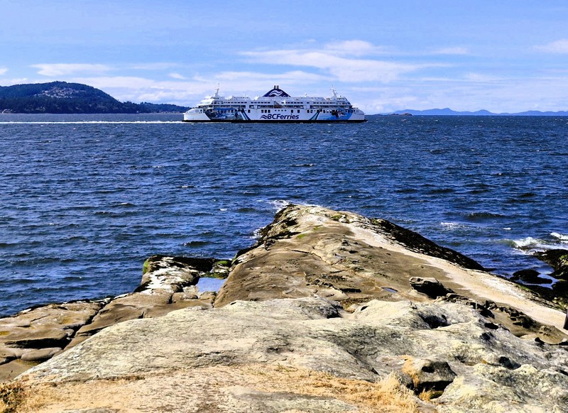
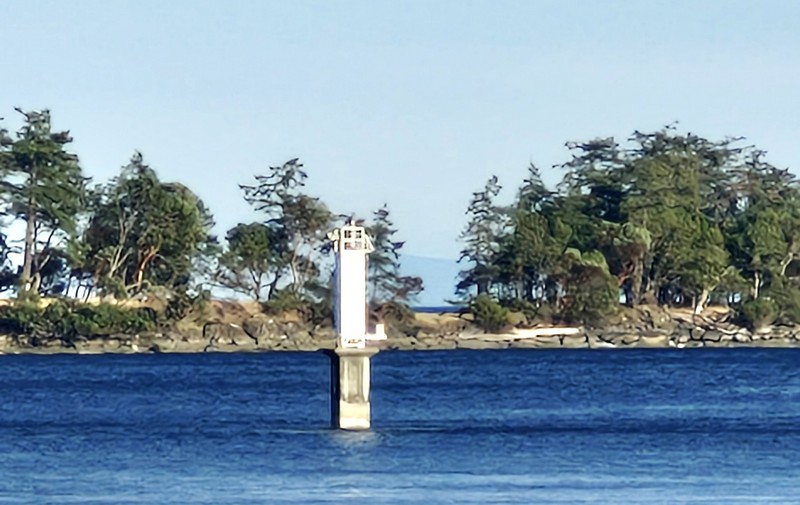
We picked a spot along the quiet beach for our picnic. There was no drinking water, so we brought your own. While picnicking, we watched boats navigating the narrow Gabriola Passage just offshore. The sheltered bay at Drumbeg warms up nicely in summer, making it one of the better swimming spots on the island. However, strong tidal currents run between the islands and riptides and currents can be dangerous.
Following the shoreline are about 2 kms. of easy, gentle and well-maintained walking/hiking trails that meander along the shoreline and through the upland above the beach, well suited for families, with frequent openings to the water and quiet spots to stop for a picnic. The route passes through rare and fragile Garry oak and open meadows (keep to the trails to protect the fragile meadow plants). Underwater enthusiasts can dive from the shores of the park, or they can head out to Rogers Reef, by boat, and still stay out of the strong currents that run through Gabriola Passage.
After our picnic, we returned to our car for the 15.3-km. (20-min.) drive back to the Descanso Bay Ferry Terminal for our scheduled 9:25 PM return trip, via BC Ferries MV Island Gwawis, back to Nanaimo’s Departure Bay Terminal.
Drumbeg Provincial Park: Stalker Rd., Gabriola Island, British Columbia V0R 1X0. Tel: (250) 474-1336. Coordinates: 49°07′57″N 123°41′39″W.
How to Get There: BC Ferries has 25-min. crossings, from Nanaimo Harbor, to Gabriola Island. Depending on the season, the ferries run almost every half-hour, from 5:45 AM to 11 PM. From the Descanso Bay Ferry Terminal, follow South Road, across the island toward the south end, then follow signs via Coast Road and Stalker Road to the park. The road in to the park is narrow (only wide enough for one car) and the drive takes roughly 20 minutes. The small parking lot is adequate for most of the year, but it can fill on warm summer weekends, so arrive earlier in the day.