
From the Bow Lake Viewpoint, it was a short 7-km. (5-min.) drive to the jump-off for the viewpoint to Peyto Lake, one of the most breathtaking and recognizable lakes in the Canadian Rockies and an awe-inspiring sight that is well worth a stop as you travel the famous Icefields Parkway.
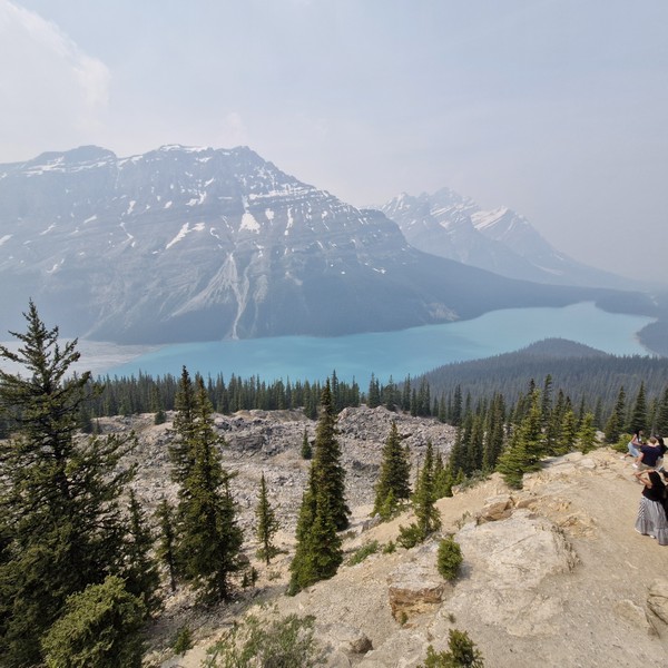
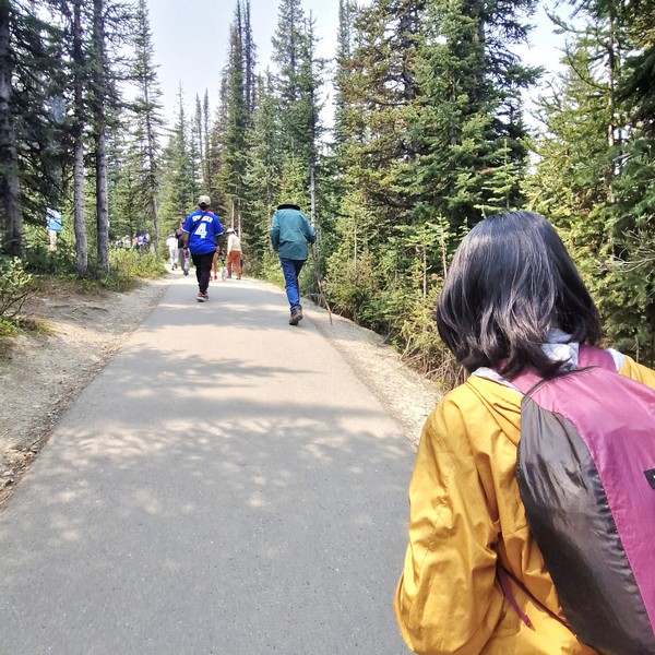
From the parking lot, it was a short, moderate yet rewarding 700 m. (10-15-min.) hike, along the fully paved Peyto Trail, to one of the most stunning viewpoints in Canada, overlooking Peyto Lake’s bright turquoise waters, surrounded by rugged Waputik Range, including the 2,911-m. (9,551-ft.) high Cauldron Peak, the 2,980-m. (9,780-ft.) high Peyto Peak and 2,966-m. (9,731-ft.) high Mt. Jimmy Simpson, and dense forests. As it was summer (the peak season), the area was packed with tourists.
Check out “Bow Lake Viewpoint”
Peyto Lake, a mesmerizing glacier-fed lake in Banff National Park in the Canadian Rockies, near the Icefields Parkway, is the origin of the Mistaya River, which heads northwest from the lake’s outflow, eventually merging into the North Saskatchewan River at Saskatchewan River Crossing. The third most visited lake in Banff National Park (after Moraine Lake and Lake Louise), it was named after Ebenezer William “Bill” Peyto, an early local trail guide and outfitter, pioneer, and trapper in the Banff area who, beginning in 1913, was one of the first wardens in Banff National Park.
Check out “Moraine Lake” and “Lake Louise”
Fed by Peyto Creek, which drains water from Caldron Lake and Peyto Glacier (part of the Wapta Icefield), it was formed, at a surface elevation of 1,860 m. (6,100 ft.), in a valley of the Waputik Range, between Caldron Peak, Peyto Peak and Mount Jimmy Simpson. The lake is best seen from Bow Summit, the highest point on the Icefields Parkway.
The lake, one of the most recognizable and most visited sites in Banff National Park, was formed approximately 10,000 to 12,000 years ago by the retreat of the Peyto Glacier. For millennia, the indigenous peoples have used it for sustenance and ceremony. In the late 19th century, early explorers encountered the magnificent body of water, calling it Doghead Lake as it exactly resembles a dog’s head from high points near its south end. It is 2.8 kms. (1.7 mi.) long, 0.8 km. (0.50 mi.) wide and has a surface area of 1.4 sq. km. (0.54 sq. mi.) and a maximum depth of approximately 90 m.
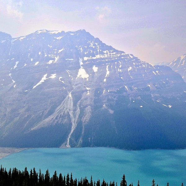
The lake gets its fame from its striking, almost eerie, bright, turquoise color, a trick of the light, which is due significant amounts of suspended glacial rock flour particles produced, during the summer, as nearby Peyto Glacier grinds down the surrounding mountains, and flows into the lake, refracting the light. Because of its bright color, the lake often appears in photos in illustrated books. The area around the lake is a popular sightseeing spot.
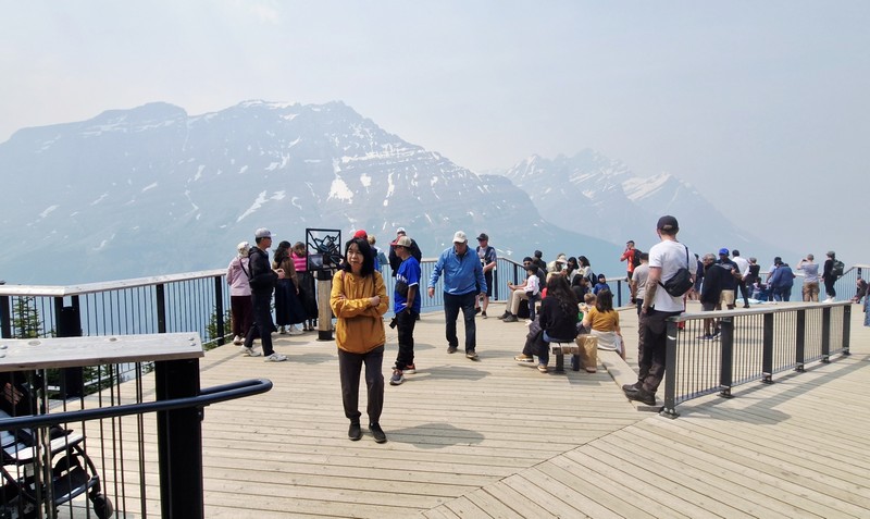
Peyto Lake isn’t as developed as Moraine Lake and Lake Louise but, in 2021, Parks Canada recently completed a major investment to update the infrastructure at the Peyto Lake area, replacing old restrooms in the lower and upper lot areas, improving signage, adding more parking, expanding the viewing platform, and safeguarding the area’s ecology. However, there are no washrooms in the main viewing platform and no food and drink facilities in the whole area.
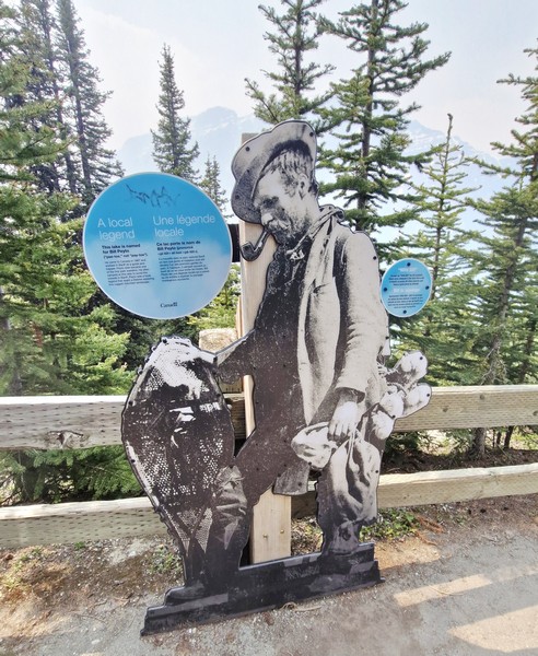
Peyto Lake Viewpoint: Lake Louise, Banff National Park, Alberta. Coordinates: 51°43′37″N 116°31′19″W.
How to Get There: The viewpoint is a 1.25-hour drive, via the Trans-Canada Highway and Icefields Parkway, from Banff, a 30-min. drive, via the Icefields Parkway, from Lake Louise, a 2.75-hour drive, via the Trans-Canada Highway and Icefields Parkway, from Calgary, and a 2.5-hour drive, south of the Icefields Parkway, from Jasper. The viewpoint is about a 10-15-minute hike, on a paved path, from the parking lot which has a lower lot for cars and a upper lot for RVs and tour buses. There is no public transportation along the Icefields Parkway so you will have to travel by car, shuttle or tour bus.