
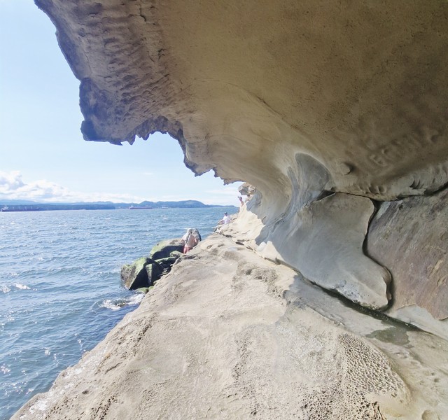
After lunch at Ground Up Café and Catering, we drove the short 3.6-km. (5-min.) distance to the nearby Malaspina Galleries Community Park, a unique, wave-shaped sandstone rock formation on the northwest shore of Gabriola Island. The galleries were named for Alejandro Malaspina (November 5, 1754 – April 9, 1810), an Italian-born 18th century explorer sailing for Spain, who charted parts of this coast in the early 1790s. For well over a century, the formation has drawn artists and visitors.
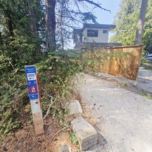
One of the most photographed natural features in the Gulf Islands and one of Gabriola Island’s signature natural sights, the galleries are located within a small community park at the end of a dead-end road in a residential neighborhood so parking was limited. Luckily, we were able to park.
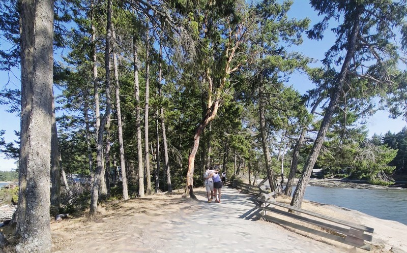
From the parking area, it was a short 100 m. (2 to 3-min.) walk, through a shaded, green West Coast evergreen environment typical of the Gulf Islands, to the rocky shoreline flats. Striking, vibrant arbutus trees, distinctive Pacific Northwest native trees, grow right above and alongside its famous weathered sandstone wave formations.
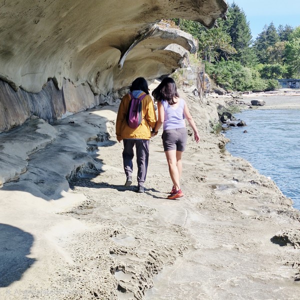
Upon reaching the shoreline from the trail, the galleries were on the left side of the rocky bluff. Carved by wind and waves into a shape that genuinely resembles a breaking, barreling wave frozen in stone. This overhanging sandstone rock formation, called a rip curl, stretches about 100 m. and stands about 4 m. high, forming a sheltered, tunnel-like passage with a ceiling, running along its length, you can walk beneath.
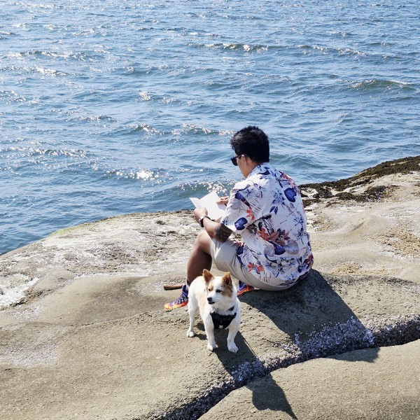
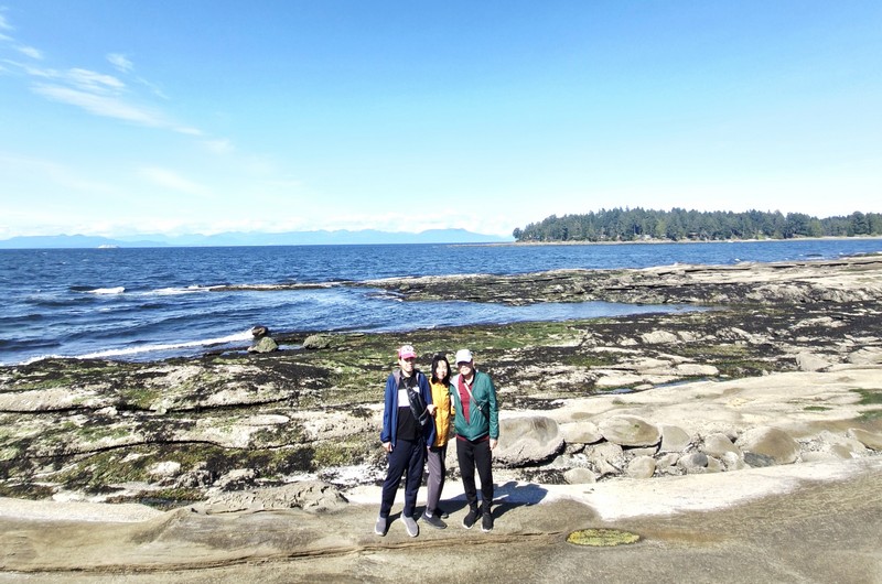
As we arrived during the summer season, the area was packed with tourists. It was low tide (access along the shore is limited during high tide) and visitors were walking the shoreline, some looking for sea stars, sand dollars and other tide-pool life on the exposed walkable shoreline shelves.
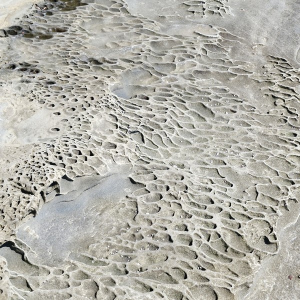
At the tunnel floor are tafoni, a geological weathering process that creates a distinctive Swiss-cheese or honeycomb texture visible across the sandstone. Saltwater spray and tiny salt crystals seep into the porous sandstone and, as the crystals dry and expand, they pop tiny sand grains loose over hundreds to thousands of years, hollowing out individual pockets.
The Malaspina Galleries Community Park are a great fit for photographers and families wanting a quick, scenic natural stop. Walking beneath the passage, we appreciated the relentless erosive power of the ocean’s and got a sense of the impressive scale that photos struggle to capture.
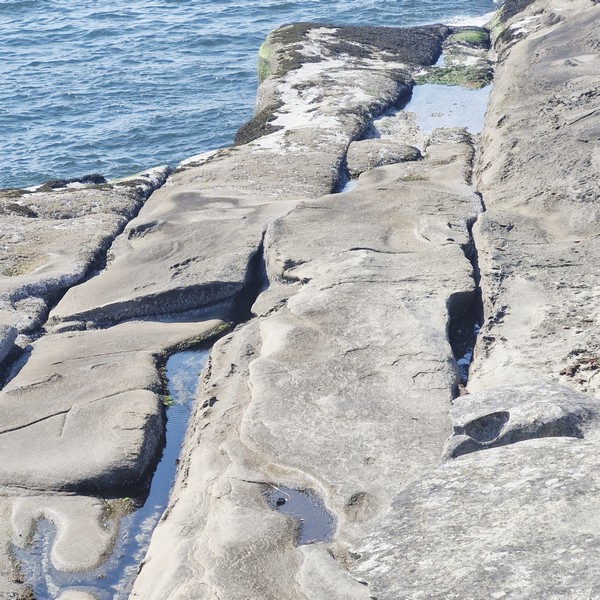
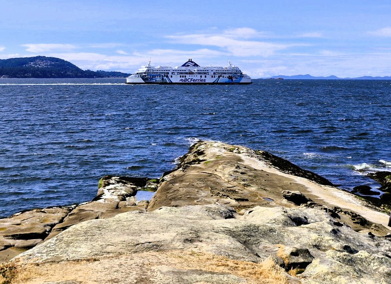
Since the final approach is over uneven rock, the site is not for anyone with mobility challenges. Fishing or beach fires are also not allowed. The rocky point was also a great scenic coastal viewpoint where you can watch the regular BC Ferries ships crossing the Strait of Georgia between Nanaimo Harbor and Descanso Bay.
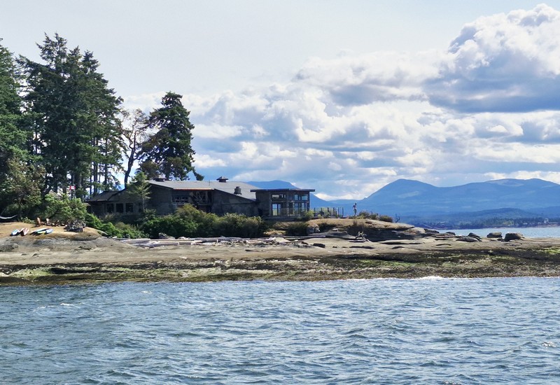
There’s also a house on the opposite shore which, I am guessing (I may be wrong), would be the Foster’s House (belonging to an early settler family) seen on a 1903 Malaspina Galleries postcard showing a standing man and a seated woman, a rowboat and the house in the background.
Malaspina Galleries Community Park: 99 Malaspina Drive, Gabriola, British Columbia V0R 1X1. Admission is free. A tide-dependent stop, at low tide the formation is fully walkable and the tide pools are exposed while at high tide, the water comes up against the rock and access along the shore is limited or cut off. Before you go, check a tide table. For safety and preservation, it is best to view and walk beneath the formation rather than climb the top of the soft, eroding sandstone overhang, a natural feature that continues to weather. As it is often the first stop for visitors, parking spaces fill quickly on summer weekends, especially right after the ferry unloads. Park respectfully and avoid blocking driveways. There are no restrooms on the site, only pathways and trash/recycling bins. The area offers opportunities to explore other natural formations, such as the Galiano Gallery and the “honeycomb holes.”
How to Get There: BC Ferries has 25-min. crossings, from Nanaimo Harbor, to Gabriola Island. Depending on the season, the ferries run almost every half-hour, from 5:45 AM to 11 PM. From the Descanso Bay Ferry Terminal, follow Taylor Bay Road, turn onto Malaspina Drive, and continue to the very end, where a short trail leads to the shore in about two to three minutes.