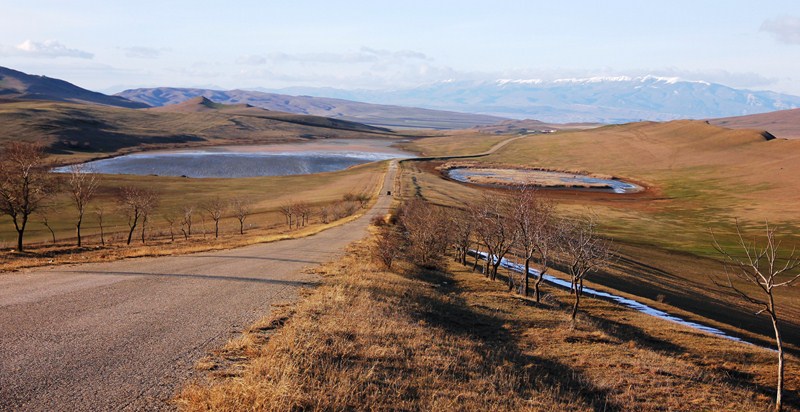
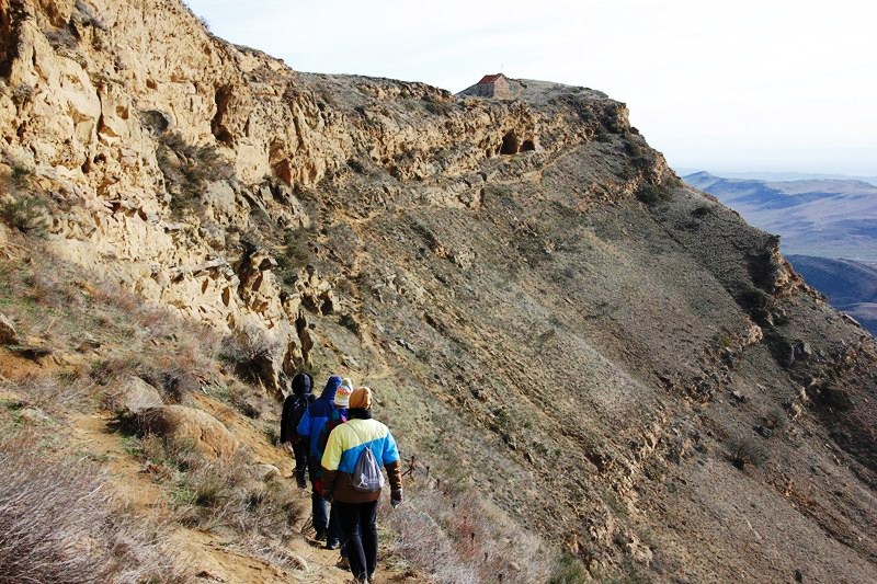
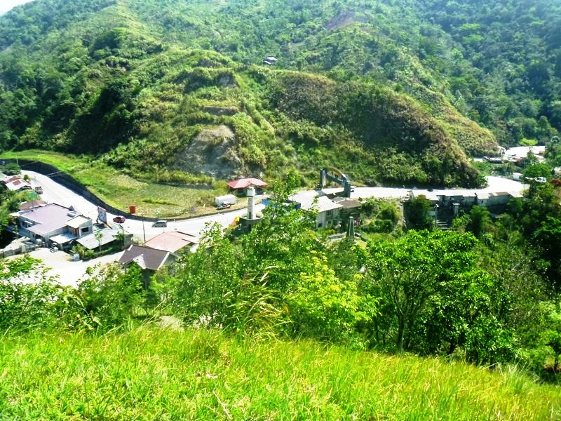
After breakfast at Mrs. Gaddi’s Restaurant and some pasalubong shopping, we all boarded our Toyota Grandia van for our 6-hour return trip to Manila. Along the way, we made a stopover at Balete Pass Tourism Complex, near the Nueva Vizcaya–Nueva Ecija border, driving all the way up to the view point at the summit which is around 3,000 ft. (910 m.) in elevation.
Balete Pass
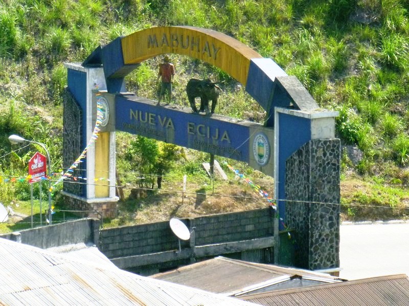
Nueva Ecija Welcome Arch
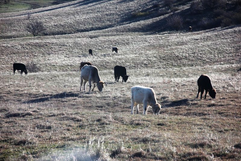
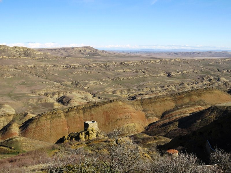
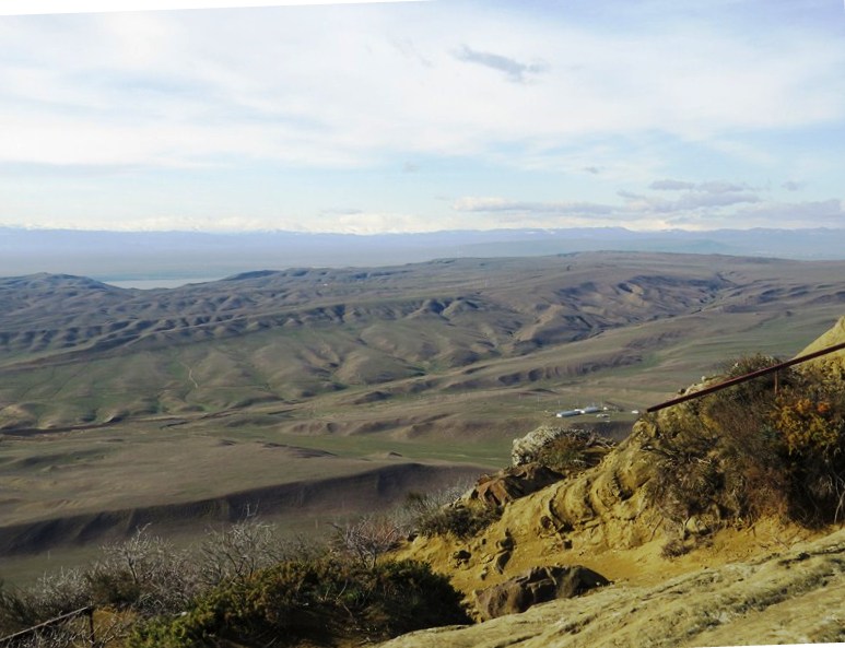
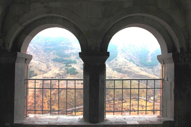
The viewpoint has a number of picnic sheds and a plaque installed by the National Historical Institute. An 800 m. long zipline facility, currently being built was, according to Mr. Regie Catalbas, the complex manager, to open in a few weeks time. At the view deck, we had panoramic views of the Caraballo Sur and the Sierra Madre Mountain Ranges as well as the headlands of both the Cagayan River and the Pampanga Valleys.
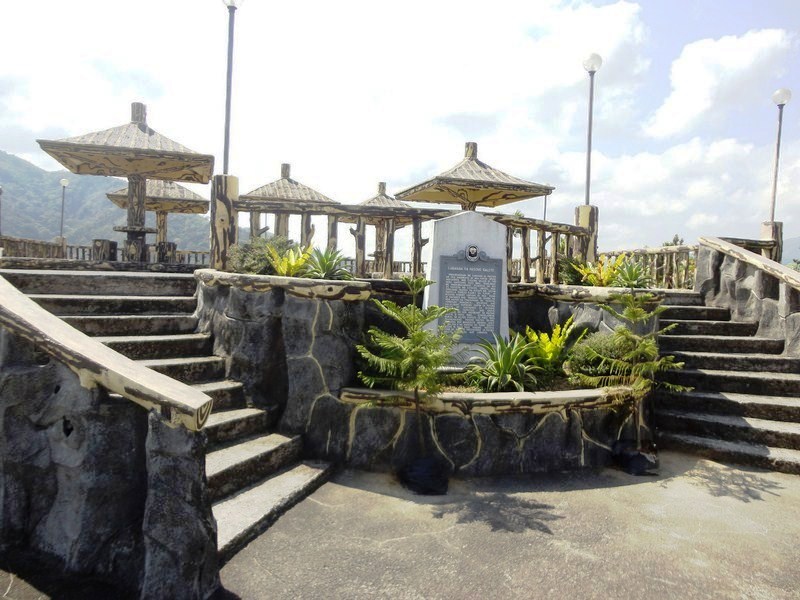
Balete Pass Tourism Complex
Balete Pass, also called Dalton Pass, is a gateway to the Cagayan Valley, and the Ifugao Rice Terraces. The headwaters of the Digdig River originate just south of the pass. Balete Ridge starts two miles to the west-northwest of the pass, with a high point at the 5,580 ft. high Mt. Imugan and extends 9 miles to the east-southeast, where it ends at the 4,600 ft. high Mt. Kabuto.
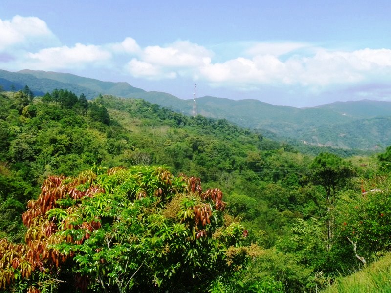
View of Caraballo Sur and Sierra Madre Mountains
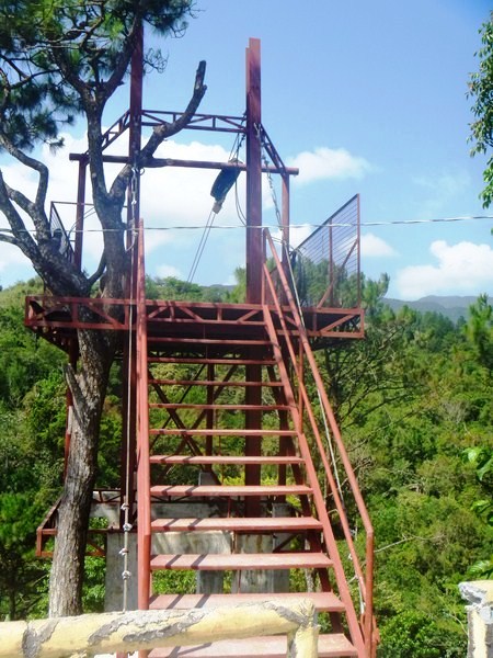
Zipline platform
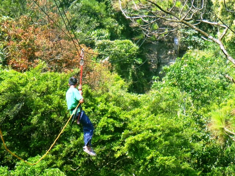
Zipline dry run
The pass was the site of the “Battle of the Skies,” fought in 1945, between the pursuing 25th U.S. Army and Filipino guerillas (under the command of Maj.-Gen. Charles L. Mullins) and the Japanese 10th Division (under the command of Lt.-Gen. Yasuyuki Okamoto), the rear guard of the Japanese Army retreating to the river mouth to the north. About 7,750 Japanese soldiers, 285 Filipino guerillas and 685 Americans soldiers, including Brig.-Gen. James L. Dalton II (after whom the pass was initially named), the assistant division commander who died from a sniper’s bullet, were killed in the battle. The Americans took the Balete area on May 31, 1945.
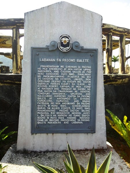
Plaque installed by National Historical Institute (NHI)
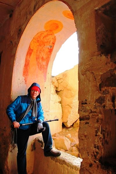
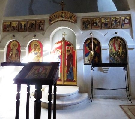
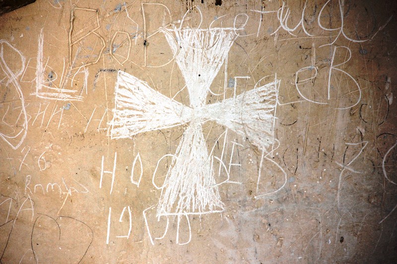
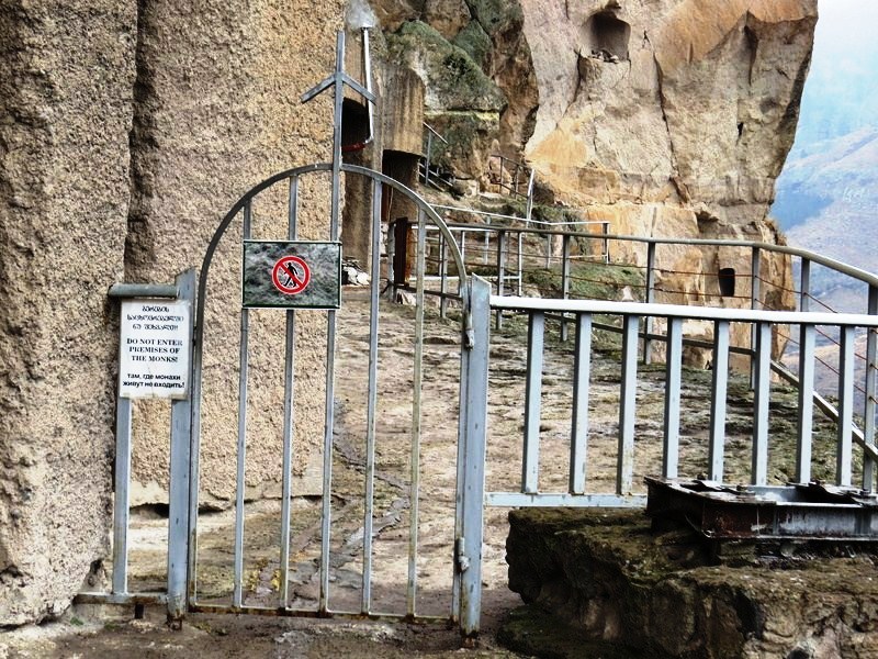
There are three memorials, representing 3 nationalities (American, Japanese and Chinese), at the site. We passed by two of these shrines. The first shrine we visited was the Japanese shrine and monument. Established by families and fellow soldiers of the fallen, it has several plaques, engraved stones and a cross with the inscription “Peace forever.”
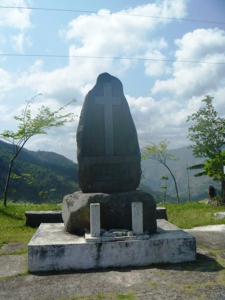
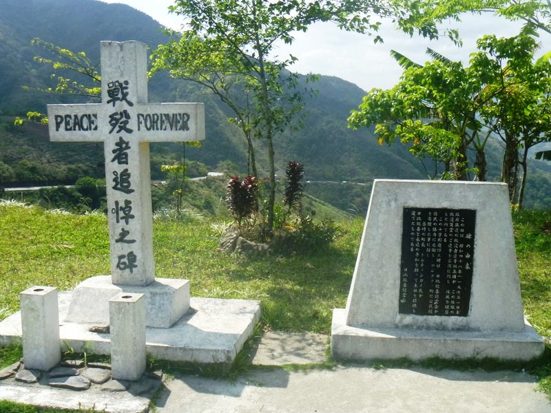
Japanese Shrine
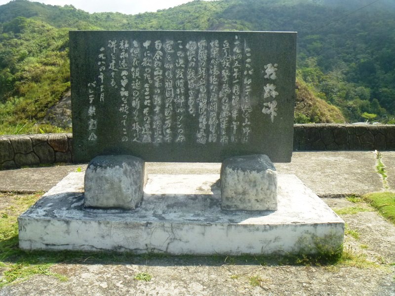
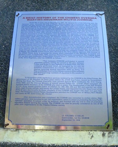
Just below the Japanese shrine is the Chinese shrine dedicated to the 8 Chinese Overseas Wartime Hsuehkan Militia (COWHM) soldiers ho died at Balete Pass, fighting with the Americans and Filipinos. The memorial has extensive text about the origins of the COWHM and a small marker plaque, dedicated on May 7, 2001, for each of the 8 soldiers who died.
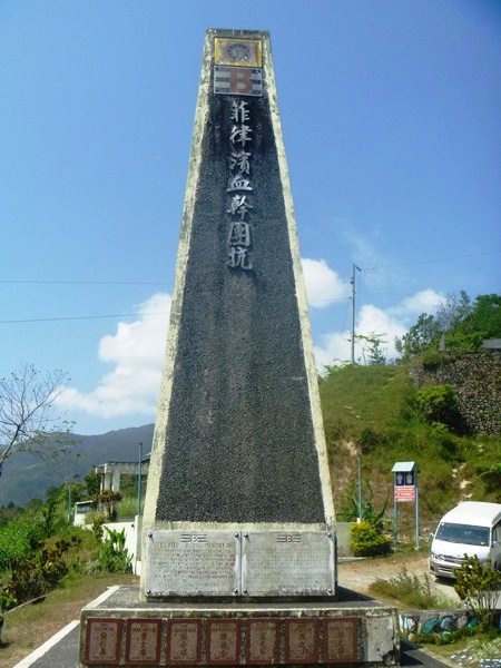
Chinese Shrine
The memorial plaque reads: “Dedicated to the memory of our 8 comrades-in-arms, who fought alongside Allied liberating army (25 Division, 161 Infantry) and paid the supreme sacrifice during mop-up operations in the summer of May 1945, against retreating Japanese forces at Santa Fe, Nueva Vizcaya. May their brave heroic efforts in fighting for freedom serve as a shinning model for all peace loving men and women for all times to come. Ex-Chinese Overseas Wartime Hsuekan Milita (EX-COWHM).”
Chinese Shrine plaque
The American shrine, the one shrine we didn’t visit, has a simple 12-ft. high obelisk and a bronze plaque at the base of the monument area that reads “Erected in honor of those soldiers of the 25th Division who sacrificed their lives in winning this desperate struggle. In taking this pass 7,403 Japs counted killed. 2,365 US Army 25th Divison killed and wounded. May 13, 1945.”
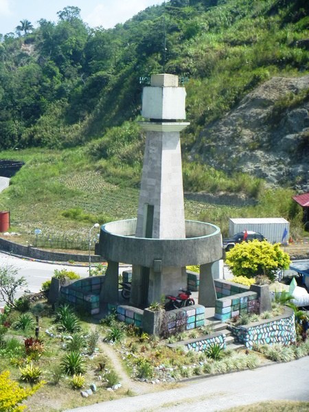
Lookout tower for Region 2
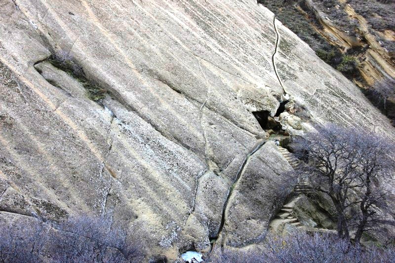
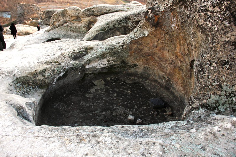
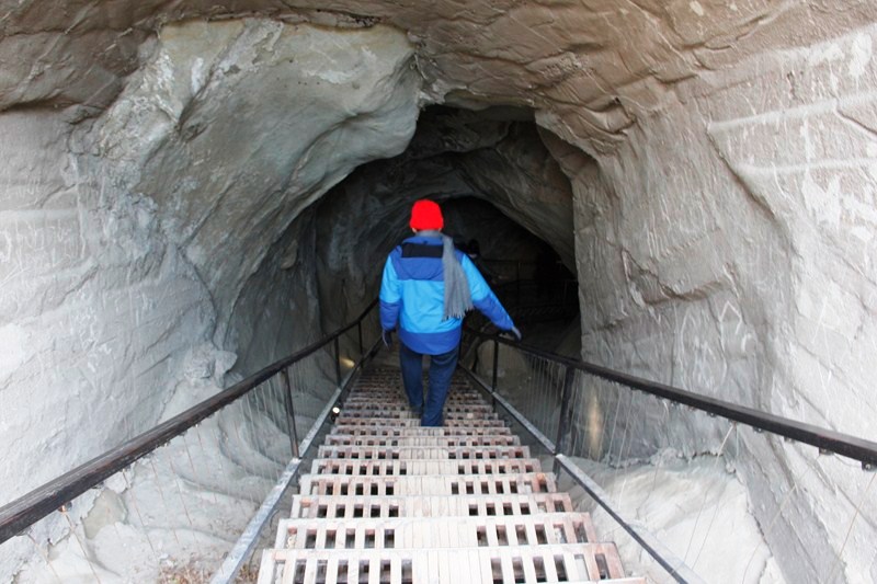
Behind it, just behind the memorial ridge line, is the small, unrelated DPWH/Perez Park, a memorial park with a lookout tower for Region 2, a 150 mm. Japanese howitzer and, directly behind the gun, the entrance to a large natural cave presumably used by the Japanese.