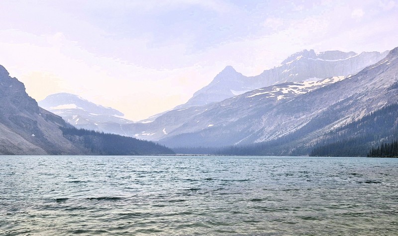
Athabasca Glacier (Jasper, Alberta)

After our short stopover to view Panther Falls, it was a short drive to the Athabasca Glacier, the most visited glacier in North America and one of the most accessible (due to its close proximity to the road) glaciers in the world.  Grace, Jandy and I were supposed to take a ride onto the glacier in a massive, all-terrain Ice Explorer vehicle (tours depart from the Columbia Icefield Glacier Discovery Centre, located directly across the highway from the glacier) but we decided to just join Cheska, Bryan and Kyle who were exploring the glacier on foot.
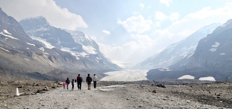
Athabasca Glacier

One of the largest non-polar ice fields in the world and a part of the Canadian Rocky Mountain Parks UNESCO World Heritage Site, this ice river is located in Jasper National Park within the Canadian Rockies and sits below monumental summits including 3,491-m. (11,453-ft.) high[Mt. Athabasca, the 3,450-m. (11,320-ft.) high Mt. Andromeda and 376-m. (1,234-ft.) high Snow Dome. Lying on a wide, elevated plateau, it is one of the six principal ‘toes’ of the Columbia Icefield, a surviving remnant of the thick ice mass that once mantled most of Western Canada’s mountains, and is the largest icefield in the Canadian Rockies.
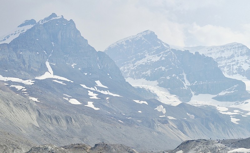
Mt. Athabasca and Mt. Andromeda

This ancient, receding “river of ice” is a striking, must-see stop in the Canadian Rockies. The glacier, covering an area of 6 sq. kms. (2.3 sq. mi.) stretches about 6 kms. (3.7 mi.) in length and was measured to be between 90–300 m. (300–980 ft.) thick. 
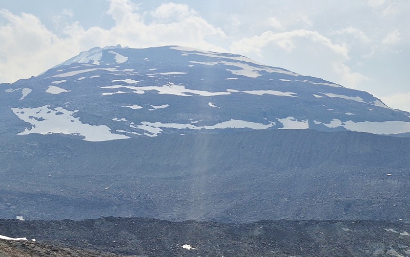
Snow Dome

Because of a warming climate, the shrinking glacier has experienced significant glacier recession, increased temperatures and, in recent years, a notable lack of snowfall and snowpack.  It currently loses depth at a rate of about 5 m. (16 ft.) per year and has receded or melted more than 1.5 kms. (0.93 mi.) and lost over half of its volume in the past 125 years. 
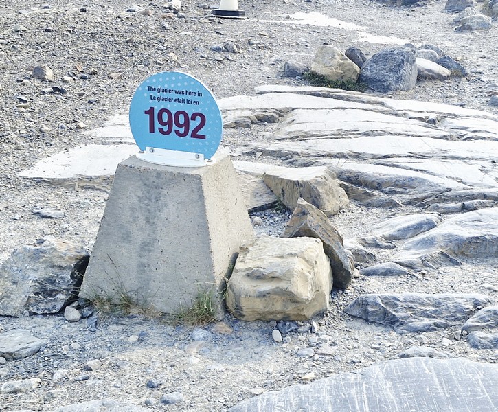
The 1992 Marker

What really struck me was the tombstone-like “1992” marker that indicates the edge of the ice in 1992. The distance from that point up the edge of the glacier was now more than 150 meters.  A moonscape of rocky moraines (piles of rock and sediment carried by the glacier) and glacier-eroded depressions, filled with meltwater, were left in its place.  There was also evidence of glacial striation (scratches cut into the bedrock by the moving glacier).
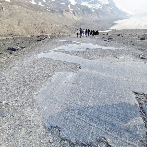
Glacial Striations

Firsthand evidence of the rapid retreat of this glacier has been witnessed, over the past century, by millions of visitors. A variety of researchers have documented this phenomenon, a direct indicator of the adverse effects of climate change on the glacier’s health and stability and, in 2023, the Athabasca Glacier saw more glacier ice melt than in any of the past 10 years. To ensure its ecological integrity for present and future generations, Parks Canada continues to work towards fostering public understanding, appreciation and enjoyment of the Athabasca Glacier.
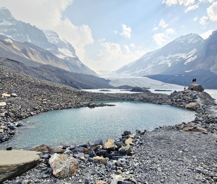
Glacier-eroded depressions, filled with meltwater

Hardy alpine plants and early colonizing species have slowly establish themselves in the rocky, wind-swept forefield left behind by the receding Athabasca Glacier in Jasper National Park. They include Fireweed (Chamerion augustifolium), Alpine stitchwort (Cherleria obstrusiloba), Reddish stitchwort (Sabulina rubella) and Mountain Avens (Dryas species), River Beauty (Chamaenerion latifolium) and White arctic whitlow-grass (Draba fladnizensis).
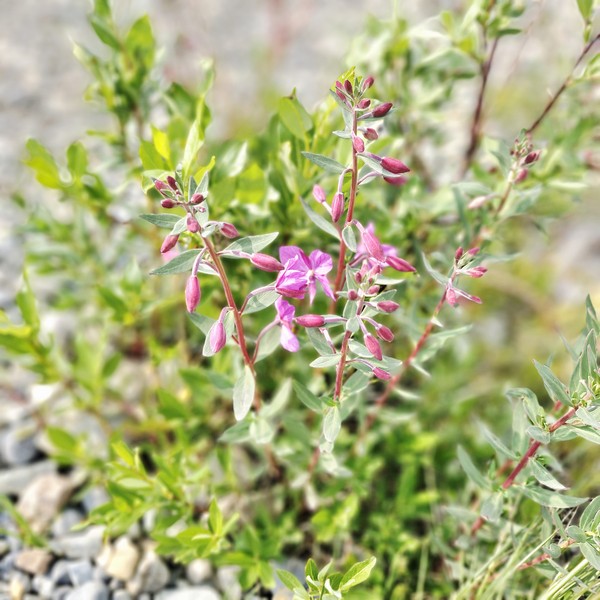
River Beauty (Chamaenerion latifolium)

Ideally placed to catch much of the moisture that Pacific winds carry across the British Columbia interior, nearly three-quarters of the park’s highest peaks are located close to the icefield. Spilling from the Columbia Icefield over three giant bedrock steps, the Athabasca Glacier flows down the valley.
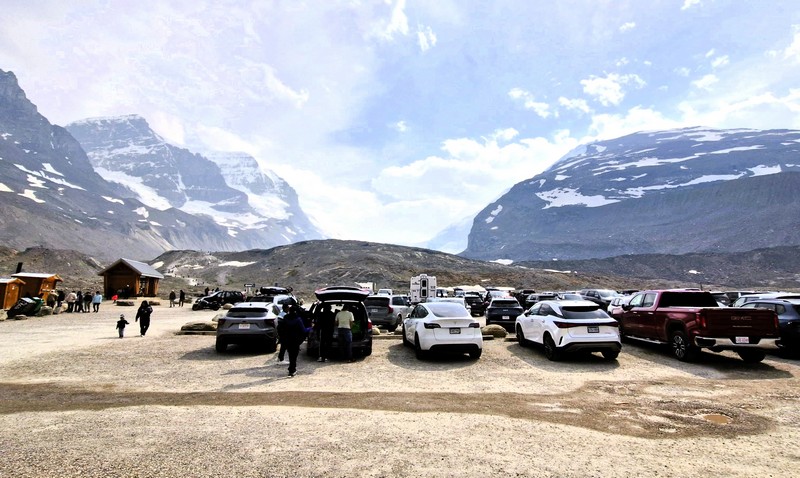
The parking area

However, though easily accessible, our travel onto the glacier was not easy and we were not properly equipped with the right clothing as we just wore light jackets and woolen bonnets and gloves. Even during our visit on the second week of July, in the middle of summer, temperatures at the glacier that day were quite chilly, with strong, cold katabatic winds (cold, dense airflows that rush downhill from the steep face of the glacier) coming off the ice.
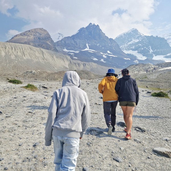
Kyle, Grace and Jandy hiking towards the glacier

When we left the parking area, it was a mild 15°C to 20°C (59°F–68°F).  However, it dropped sharply down to around 4°C to 10°C (40°F–50°F) or near freezing, at the edge of the ice surface, and it felt much colder due to the strong winds. Our visit, though, provided a first of Jandy – his first experience with snow.
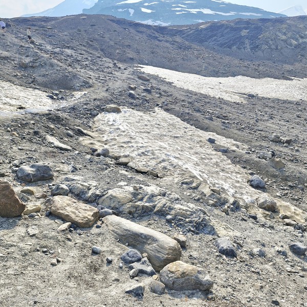
Patches of “dirty” snow

Walking onto the glacier independently is highly discouraged as hidden crevasses  are incredibly dangerous, and wandering onto the ice without proper gear or a guide has proven fatal in the past, leading to the deaths of unprepared tourists.  For your safety do not cross the barriers.
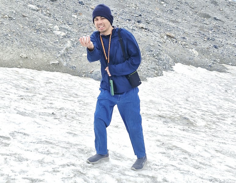
Jandy enjoying his first encounter with snow

Along the way, we passed by patches of “dirty snow” and dark lines which are a completely natural and highly studied phenomenon, their dark, soot-like appearance caused by cryoconite, rock dust and wildfire ash. We also encountered a Golden-mantled ground squirrel.
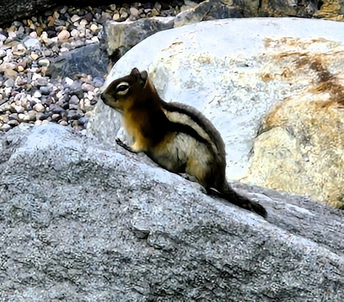
Golden-mantled ground squirrel

We also encountered (and climbed up) a number of glacier erratics, large boulders moved by glacial ice and left in an area with a completely different underlying bedrock type.
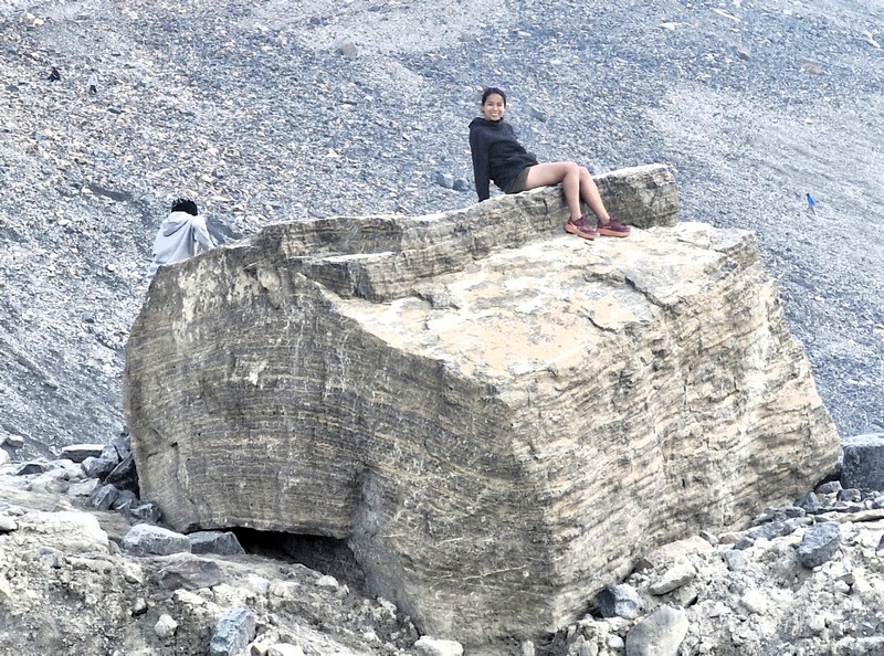
Kyle and Cheska atop a glacier erratic

The Columbia Icefield Glacier Discovery Centre is also used as a lodge and for ticket sales for sightseeing on the glacier. It has two restaurants and a Starbucks. Standard buses here transport tourists from the center to the glacier edge, where they board specially designed snow coaches for transport over the steep grades, snow and ice part way up the glacier. The center is closed during the winter (mid-October to mid-April).
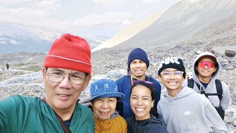
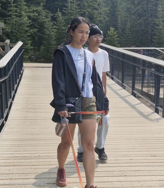
The author, Grace, Cheska, Kyle, Bryan ……

The Columbia Icefield Skywalk, located nearby, is a 918-ft. high, suspended glass-floored platform offering incredible, jaw-dropping views of the glacier-formed valleys. If you want to take an Ice Explorer tour or a guided hike, book your passes in advance through the Columbia Icefield Adventure platform to secure your preferred time slot. 
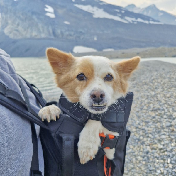
…. our pet dog Luffy

Athabasca Glacier: Highway 93 North – Icefield Parkway, Improvement District No. 12, Jasper, Alberta, T1L 1J3.  Tel: (888) 740-0307. Toll Free: (866) 506-0515. Coordinates: 52°11′55″N 117°14′37″W.

How to Get There: The glacier is directly off the Icefields Parkway (Highway 93N) and is 105 kms. (about an hour drive) south of Jasper and 128 kms. (a 2-hour drive) north of Banff. The leading edge of the glacier is within easy walking distance.
Peyto Lake Viewpoint (Lake Louise, Alberta)

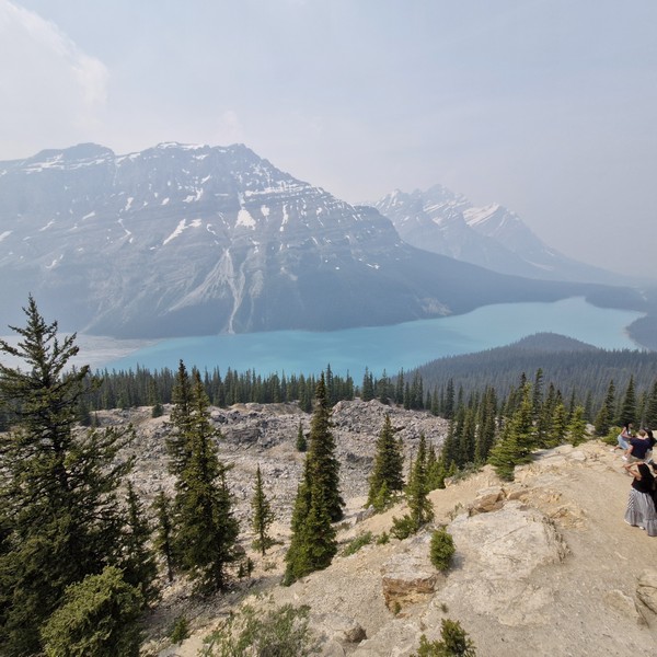
From the Bow Lake Viewpoint, it was a short 7-km. (5-min.) drive to the jump-off for the viewpoint to Peyto Lake, one of the most breathtaking and recognizable lakes in the Canadian Rockies and an awe-inspiring sight that is well worth a stop as you travel the famous Icefields Parkway. 

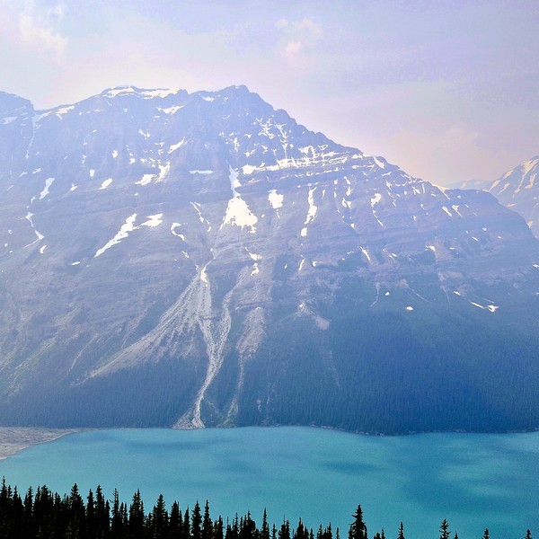
Peyto Lake

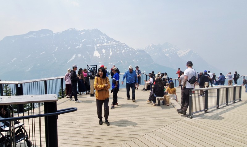
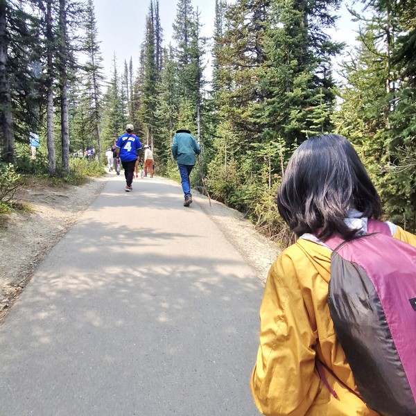
From the parking lot, it was a short, moderate yet rewarding 700 m. (10-15-min.) hike, along the fully paved Peyto Trail, to one of the most stunning viewpoints in Canada, overlooking Peyto Lake’s bright turquoise waters, surrounded by rugged Waputik Range, including the 2,911-m. (9,551-ft.) high Cauldron Peak, the 2,980-m. (9,780-ft.) high Peyto Peak and 2,966-m. (9,731-ft.) high Mt. Jimmy Simpson, and dense forests. As it was summer (the peak season), the area was packed with tourists.

Check out “Bow Lake Viewpoint”

The Peyto Trail

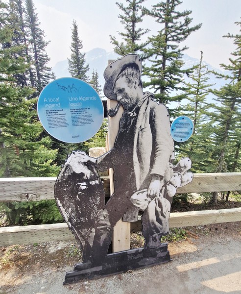
Peyto Lake, a mesmerizing glacier-fed lake in Banff National Park in the Canadian Rockies, near the Icefields Parkway, is the origin of the Mistaya River, which heads northwest from the lake’s outflow, eventually merging into the North Saskatchewan River at Saskatchewan River Crossing. The third most visited lake in Banff National Park (after Moraine Lake and Lake Louise), it  was named after Ebenezer William “Bill” Peyto, an early local trail guide and outfitter, pioneer, and trapper in the Banff area who, beginning in 1913, was one of the first wardens in Banff National Park. 

Check out “Moraine Lake” and “Lake Louise”

Peyto Lake Viewpoint

Fed by Peyto Creek, which drains water from Caldron Lake and Peyto Glacier (part of the Wapta Icefield), it was formed, at a surface elevation of 1,860 m. (6,100 ft.), in a valley of the Waputik Range, between Caldron Peak, Peyto Peak and Mount Jimmy Simpson. The lake is best seen from Bow Summit, the highest point on the Icefields Parkway.

The lake, one of the most recognizable and most visited sites in Banff National Park, was formed approximately 10,000 to 12,000 years ago by the retreat of the Peyto Glacier.  For millennia, the indigenous peoples have used it for sustenance and ceremony. In the late 19th century, early explorers encountered the magnificent body of water, calling it Doghead Lake as it exactly resembles a dog’s head from high points near its south end. It is 2.8 kms. (1.7 mi.) long, 0.8 km. (0.50 mi.) wide and has a surface area of 1.4 sq. km. (0.54 sq. mi.) and a maximum depth of approximately 90 m.

Cauldron Peak

The lake gets its fame from its striking, almost eerie, bright, turquoise color, a trick of the light, which is due significant amounts of suspended glacial rock flour particles produced, during the summer, as nearby Peyto Glacier grinds down the surrounding mountains, and flows into the lake, refracting the light.  Because of its bright color, the lake often appears in photos in illustrated books.  The area around the lake is a popular sightseeing spot.

Cheska and Kyle

Peyto Lake isn’t as developed as Moraine Lake and Lake Louise but, in 2021, Parks Canada recently completed a major investment to update the infrastructure at the Peyto Lake area, replacing old restrooms in the lower and upper lot areas, improving signage, adding more parking, expanding the viewing platform, and safeguarding the area’s ecology.  However, there are no washrooms in the main viewing platform and no food and drink facilities in the whole area.

Bill Peyto

Peyto Lake Viewpoint: Lake Louise, Banff National Park, Alberta. Coordinates: 51°43′37″N 116°31′19″W.

How to Get There: The viewpoint is a 1.25-hour drive, via the Trans-Canada Highway and Icefields Parkway, from Banff, a 30-min. drive, via the Icefields Parkway, from Lake Louise, a 2.75-hour drive, via the Trans-Canada Highway and Icefields Parkway, from Calgary, and a 2.5-hour drive, south of the Icefields Parkway, from Jasper.  The viewpoint is about a 10-15-minute hike, on a paved path, from the parking lot which has a lower lot for cars and a upper lot for RVs and tour buses.  There is no public transportation along the Icefields Parkway so you will have to travel by car, shuttle or tour bus.

Bow Lake Viewpoint (Alberta)

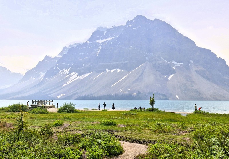
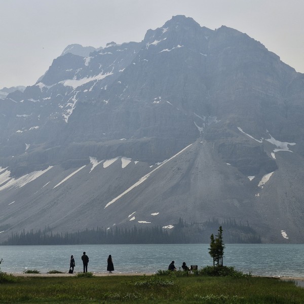
After checking out at Douglas Fir Resorts & Chalets in Banff, we proceed on the long 291-km. (3.5-hr.) drive to the town of Jasper.  After an hour’s drive and about 95 kms. along the way, we made a stopover at the Bow Lake Viewpoint. Situated right off the Icefields Parkway (Highway 93) in Banff National Park, Alberta, it offers a stunning panorama of bright turquoise, glacier-fed (by the Crowfoot Glacier) waters of Bow Lake framed by the towering peaks of the 3,055-m. (10,023-ft.) high Crowfoot Mountain (which plunges directly into the alpine basin), the 2,840-m. (9,320-ft.) high Bow Peak, and the dramatic Bow Glacier.

Bow Lake

The small but beautiful Bow Lake, with very calm and serene waters, is the lake closest to and the main source of the headwaters of the Bow River which runs down, out of the Canadian Rockies, past Banff town, to Calgary, the third largest city of Canada, and beyond. It is one of the last lakes to thaw in the summer. Surrounded by the high peaks of the Waputik Range of mountains, this beautiful, glacier-fed lake, mainly formed by the melted water, turns a lovely, vivid, postcard-like turquoise shade, with a bluish tinge, due to glacial silt reflecting the sunlight.

Crowfoot Mountain

Bow Lake may not be as popular as Lake Louise, Peyto Lake and Moraine Lake, but it is almost as beautiful, with its large glacier as a backdrop, and also does not have the crowds and congestion of the aforementioned lakes.  Imagine the beauty of these three lakes, but without the crowds. That is Bow Lake. This lake is also larger than the more popular lakes, and while the blue isn’t quite as intense, it is still gorgeous, and the walk along the lake is flat and relaxing and you can get a good view of the glacier. 

Check out “Lake Louise,” “Peyto Lake Viewpoint” and “Moraine Lake”

The reflection photos you can take here are also amazing.  This lake is a favorite of photographers as its still water allows them to capture reflections of the mountains. Early morning or late afternoon provides the calmest water for mirror-like mountain reflections.

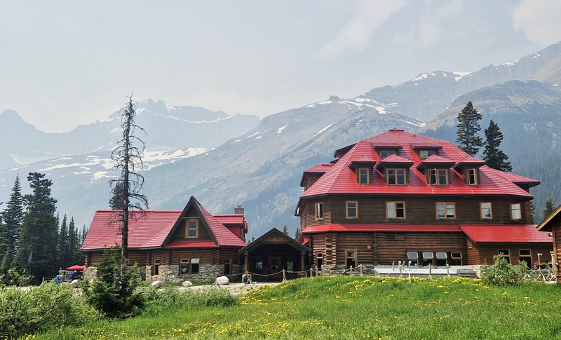
Num-Ti-Jah Lodge

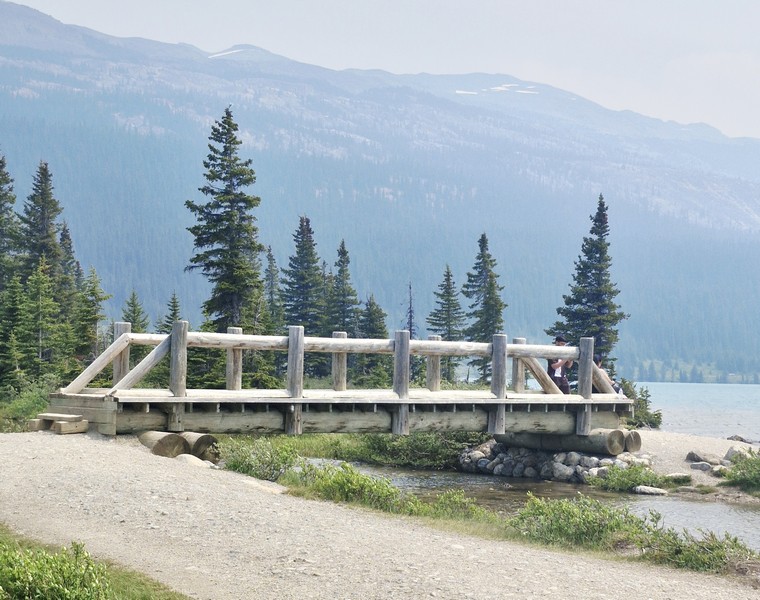
The historic Num-Ti-Jah Lodge, a lodge at the lake, has a coffee shop (where you can get some coffee and a bowl of soup or chili) and gift shop. This quaint wooden building, with a red sloping roof, was one of the original lodges of the Canadian Rockies.  The lodge was originally a small, octagonal log cabin built by Jimmy Simpson in 1922.  In the 1930s, the main lodge was built. Close to the lodge is a charming wooden footbridge near its shoreline.

Wooden footbridge

The day use parking lot at the end of the road has lots of picnic tables.  Aside from the pullover on the Icefields Parkway, another location where you can view Bow Lake is from the lakeside. To get to the lakeside, head to the parking lot area with the numerous restrooms that had been built. The lakeside is a short walk from the parking lot and will enable you to walk past the lodges and the Hanging Glacier Cafe (sells snacks, coffee or souvenirs). The desirable Bow Lake views, with its stunning mountain backdrop, are approximately a 5-min. walk from the parking lot.

Bow Glacier

Truly, this place was a welcome break from the massive crowds of people. While not as dramatic in size or location as Peyto Lake, it still possesses the striking blue coloration owning to mineral suspension. Not a must-see if you’ve already viewed Peyto Lake, but as Bow Lake is right by the road and less busy and it’s also easier to access. The atmosphere at the lakeside was enjoyably quiet/not crowded and was almost meditative as it provided the opportunity to absorb the beauty.

A large parking lot offers plenty of space for the many cars and motorhomes though it is a bit of an issue near the restrooms. An overflow parking lot is available.

Bow Lake Viewpoint: Improvement District No. 9, Alberta T0L 1E0.

How to Get There: The lake, located along Highway 93 North (Icefields Parkway) inside Banff National Park, is a 37-km. (a 20-30 min.) drive north of Lake Louise.