
From the Old Country Market in Coombs, we drove 33.1 kms. (a 30-min. drive) to explore the Hole in the Wall, a popular stop for many and an unofficial tourist spot with limited parking and signage. A trailhead leading to the Hole in the Wall was across the Coombs Country Candy Shop just outside Port Alberni.
There was no other available parking (there was only space for three or four cars) at the pullout on Highway 4 heading uphill out of town, and getting to the trailhead entailed crossing the extremely busy highway (there is no crosswalk available and you had to be extra careful when crossing the highway) plus we can’t park in the parking lot of Coombs Country Candy, as this is for store patrons only. So we drove further east, on the south side of the highway, where we were able to park the car at one of the few parking spaces available at a tiny pull-out before the curve heading out of Port Alberni. It was right at the trailhead and we didn’t have to cross the busy road.
The Hole in the Wall is a manmade structure. From the 1910s through the 1940s, as demand for water increased, there have been numerous dam and pipeline improvements in Port Alberni. Before the 1967 amalgamation of Port Alberni, this area was a shortcut for the town’s water supply. In 1940, after a dry summer, a hole was blasted through a massive wall of volcanic shale, and a large wood stave pipeline was laid to bring water from Rogers Creek to Port Alberni.
The pipe is now gone (removed by the 1960s) but, to this day, you can still see the remains of the old water piping metal straps still partly buried in the ground, on the side of the trail, that formerly bound the old water pipeline. However, the creek water, passing through the empty hole, now leaves us with a unique structure and a beautiful water feature – a charming waterfall flowing through a man-made rock opening.
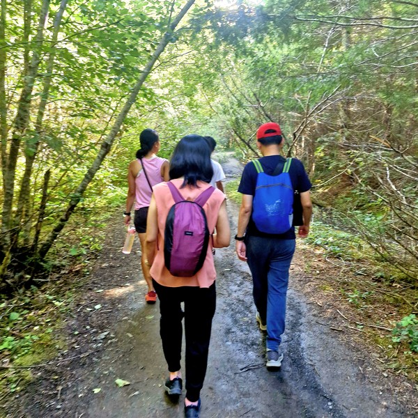
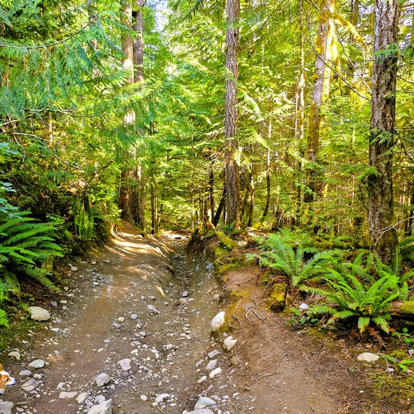
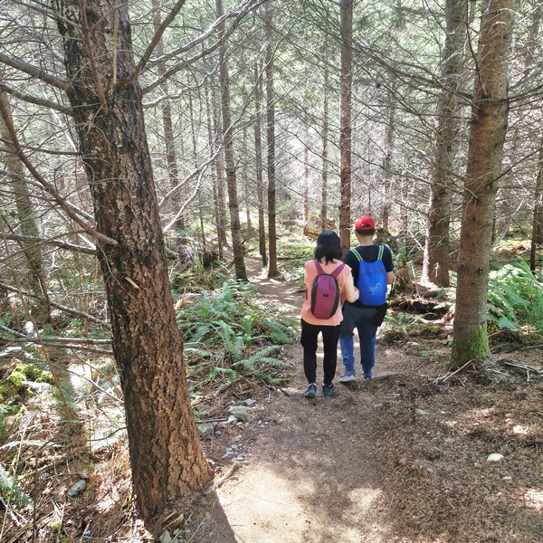
The entrance, on the south side of the highway, was unmarked. It was supposed to be just a short 1.2-km., reasonably straightforward hike to Hole in the Wall, steep in some spots, but it required a bit of fitness and good footwear and, as it rained the day before, the gravelly trail, first down and then up, was muddy. It was also intermittently signed. As we made your way down the trail, we entered deeper into the rainforest.
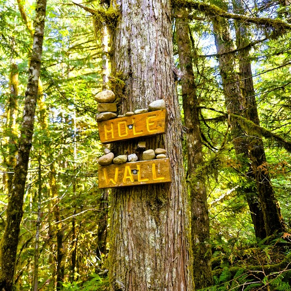
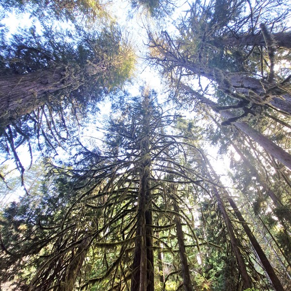
The trail leveled out, and mossy trees and ferns surrounded us, growing down the slopes. The slightly steeper portion can be handled, by running shoes, on a dry day but it was muddy on the day of our visit. We had to watch out for washed-out sections. As we meandered through the lush forest, we kept our eyes peeled for wildlife. At the first clearing, the path split in two. The forest floor was rich with ferns, moss, and towering trees. Even though the main track was straight ahead of us, we headed right, going downhill. There was a wooden sign hidden in the tree indicating the way. The short but steep descent down took us to our destination.
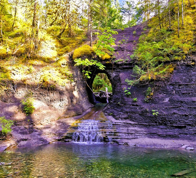
Finally, after roughly 20 to 30 minutes, we heard the sound of running water as we approached, a sure sign that we were getting close. Looking across the river, we finally found this idyllic and tranquil retreat with natural and man-made features – a large, strikingly circular opening carved in the shale wall, along Rogers Creek, with a tiny waterfall flowing through it now.
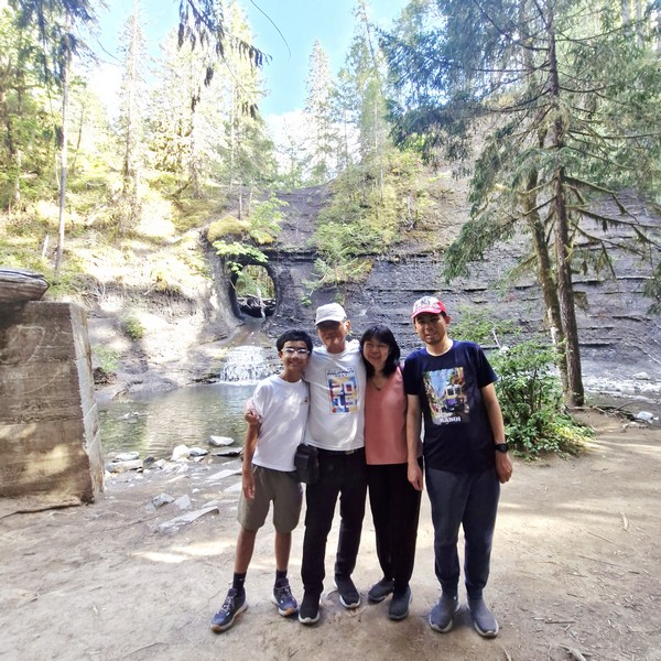
This beautiful oasis, with its rain forest, ferns and river rock beds, had a lot of moss on the big cedar trees and stumps but, despite the rain, there wasn’t much water running through the hole. The crystal-clear water flowed into a shallow pool, reflecting the beauty of the forest canopy above. The exposed shale rock beautifully showed off the earth’s many layers.
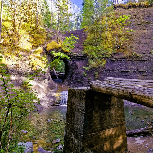
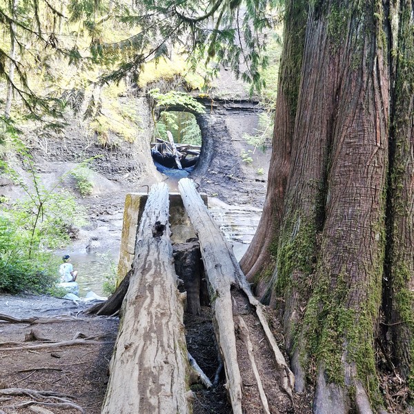
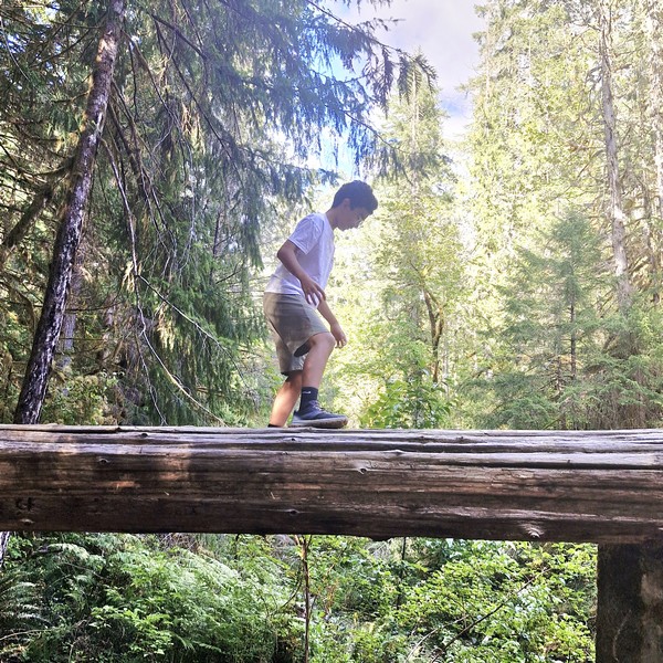
As it was summer, visitors swam or waded through the water to stand for photographs in the large structure. The best vantage point for a photo is from two fallen logs, on a massive concrete slab (part of the original pipeline’s supporting structure), across from the Hole in the Wall. Now used as an elevated viewing platform, it required walking across (which Kyle did) the logs which can be slippery.
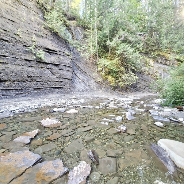
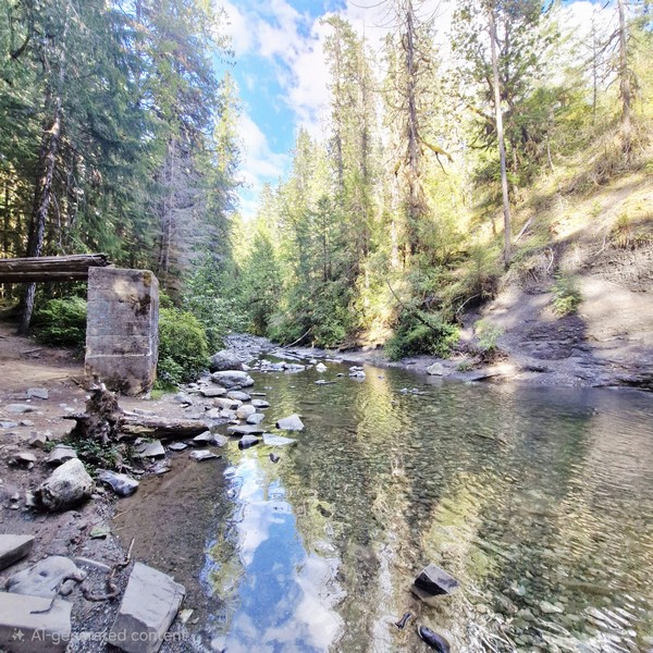
They say that, if you continue down along the creek, and you can find an old dam downstream with a bonus waterfall. You can also continue down the path, for about 2-3 mins., where you can find really neat inuksuks or cairns (man-made stacks of rocks). Hundreds of these rock creations used to be there, but the creek expanded and washed many away during the 2021 fall floods. On our return trip, we had to walk uphill most of the way.
Hole In The Wall: Port Alberni, British Columbia V9Y 7M4. Coordinates: 49.2603° N, 124.7482° W.
How to Get There: It is actually located near Port Alberni, off Highway 4 (across from Coombs Country Candy at 2101 Old Nanaimo Highway, not Campbell River).