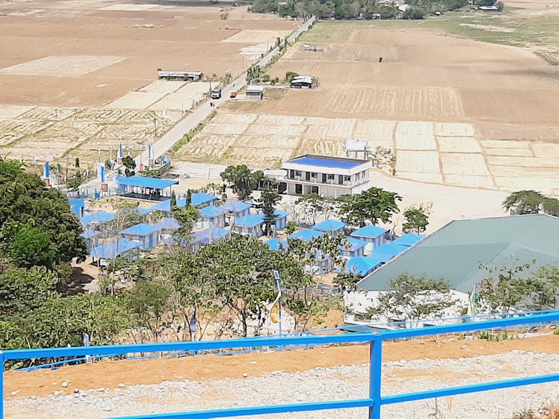
Racuh a Payaman
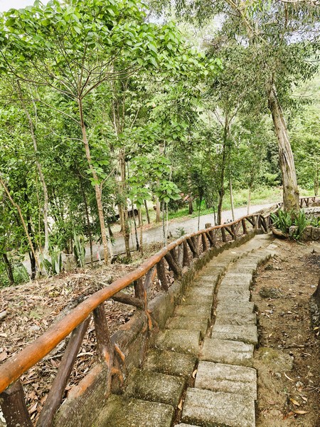
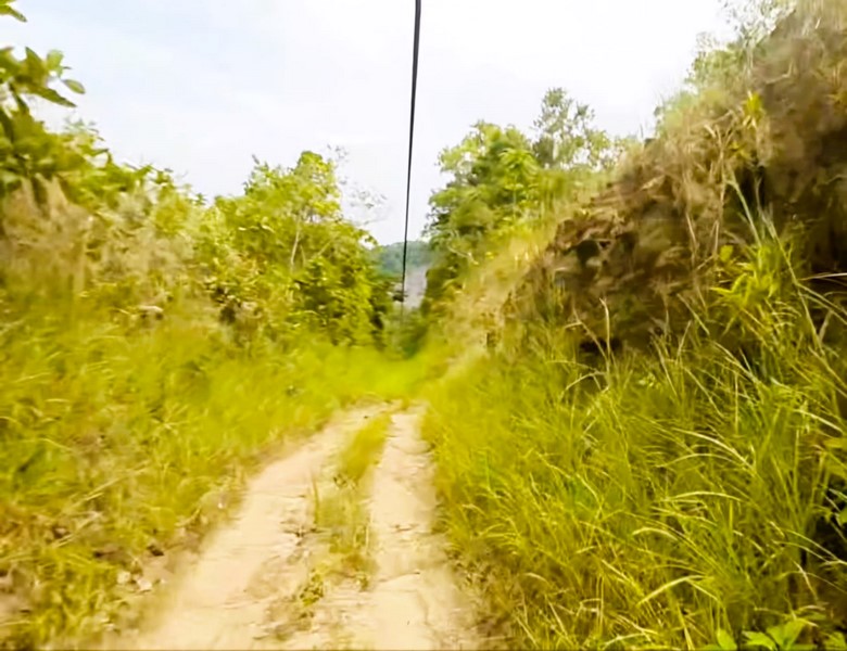
From the Chawa View Deck, it was a 6-km. (15-min.) drive, passing by the Mahatao Boat Shelter Port, to Racuh-a-Payaman (meaning “big pasture”), one of the most visited tourist attractions in the island. By the time we arrived, the rain had already stopped and the sun was shining brightly in the sky.
Check out “Chawa View Deck” and “Mahatao Boat Shelter Port”

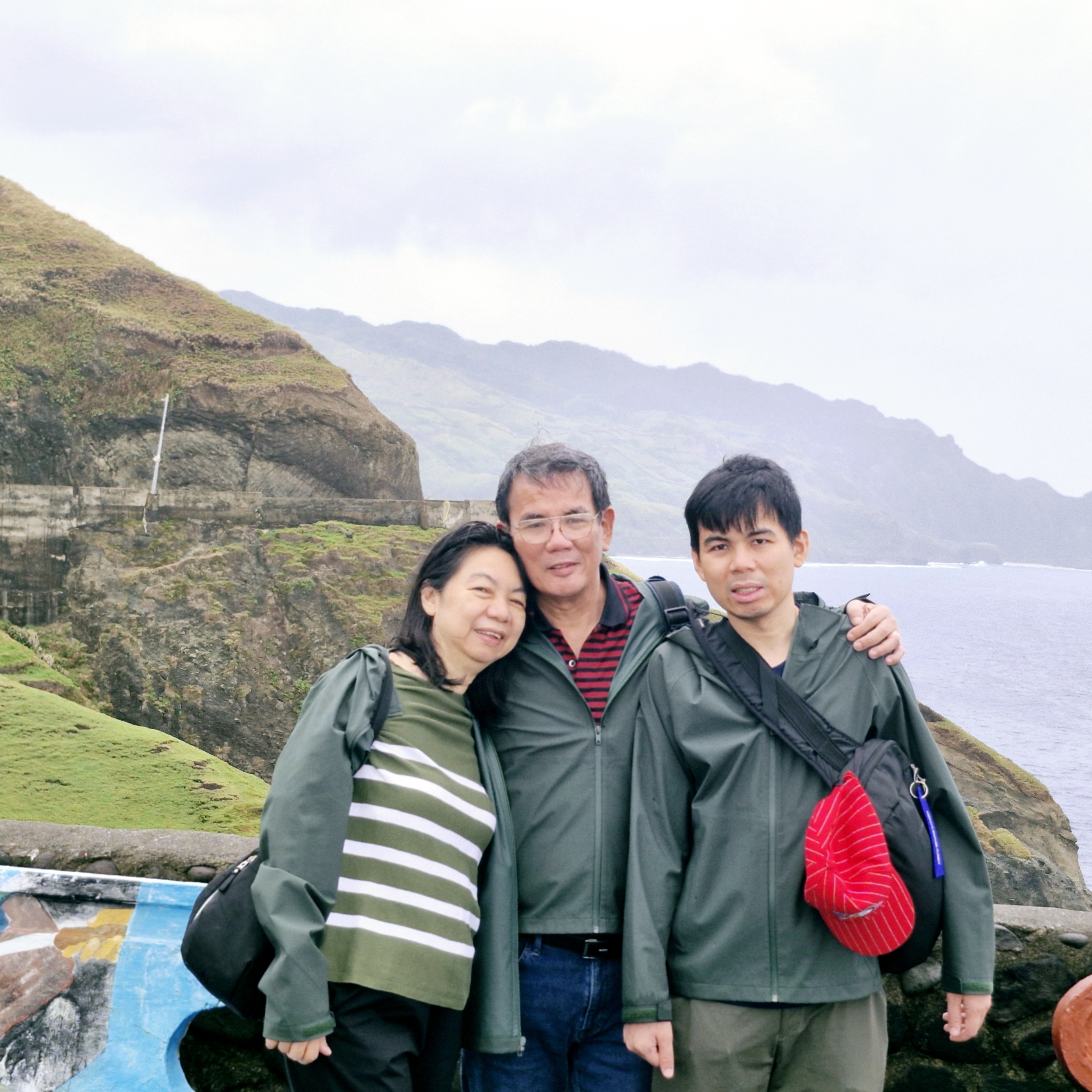
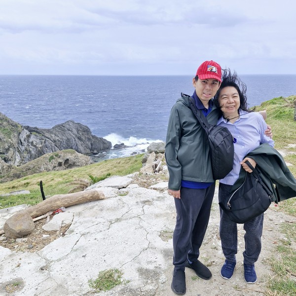
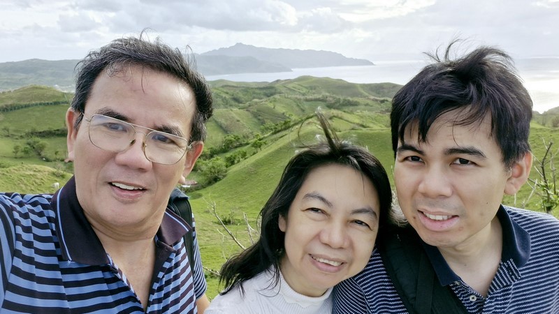
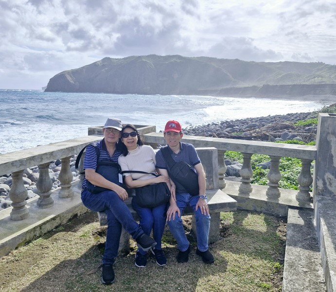
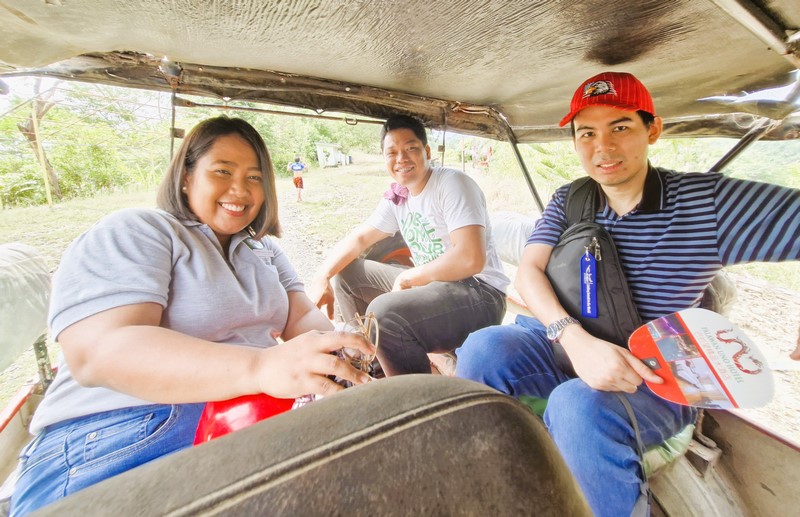
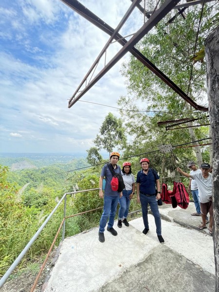
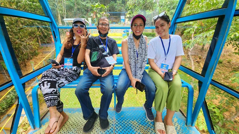
L-R: Grace, the author, Jandy, Lorraine, Junior, Lourdes and Gelyn
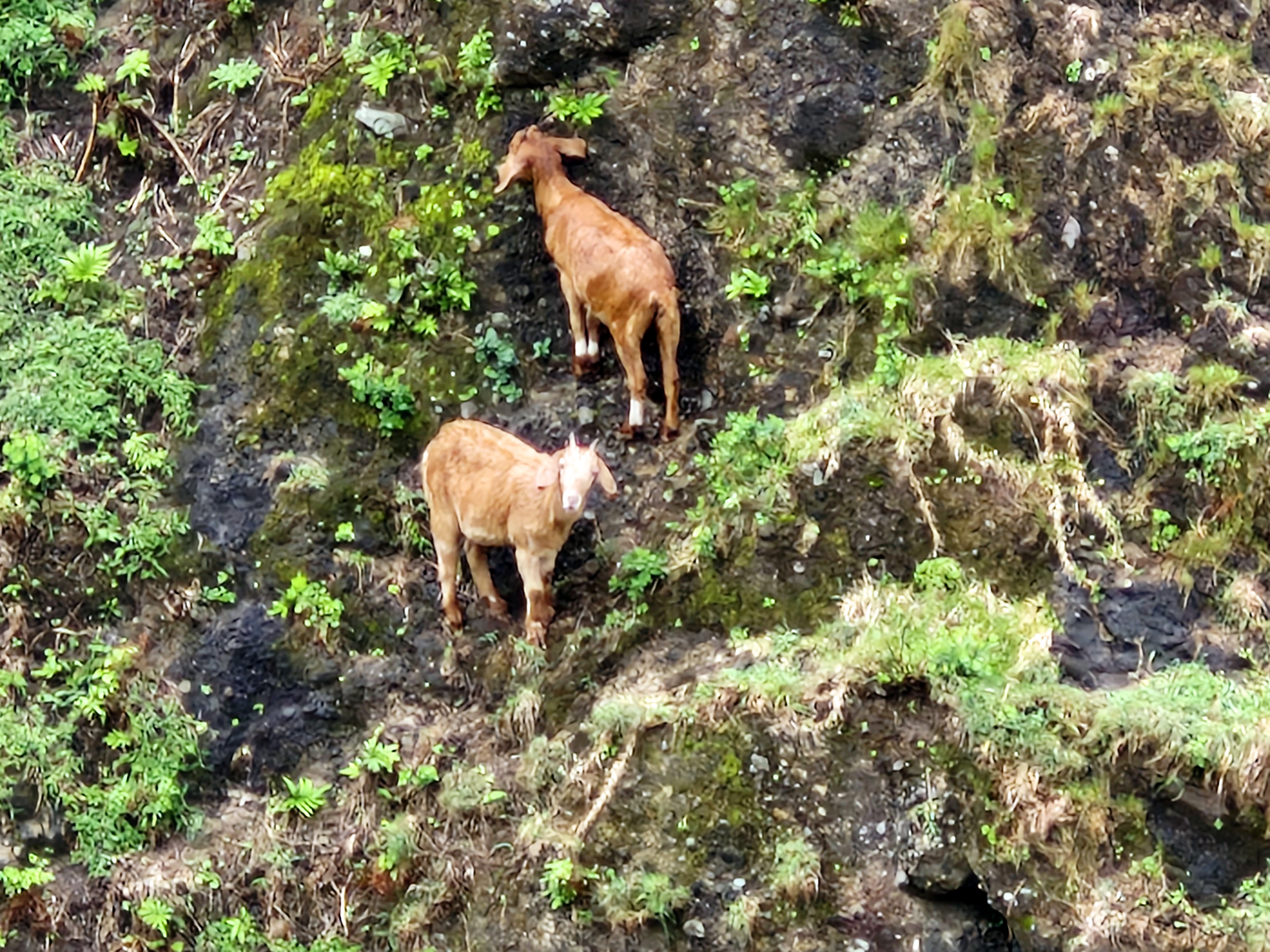
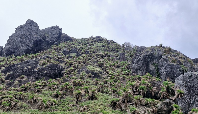
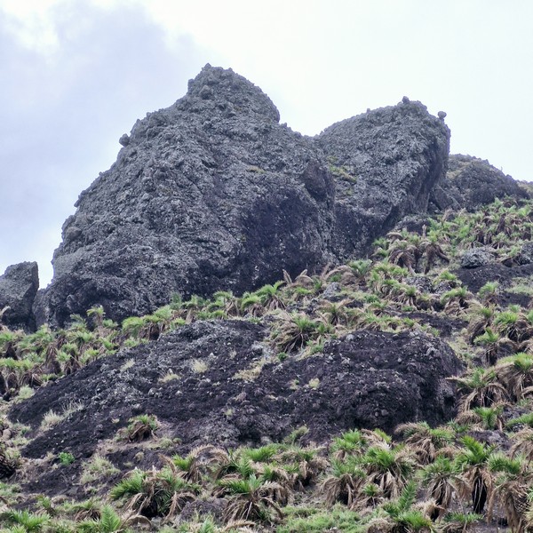
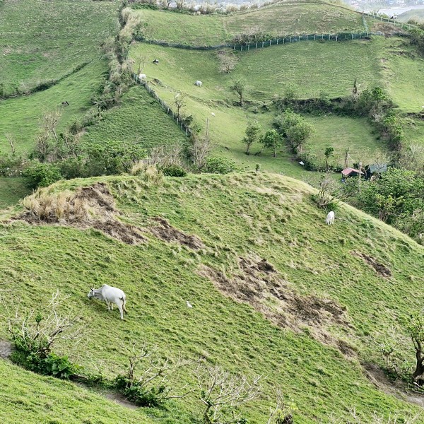
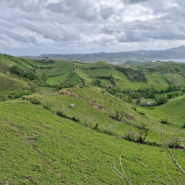
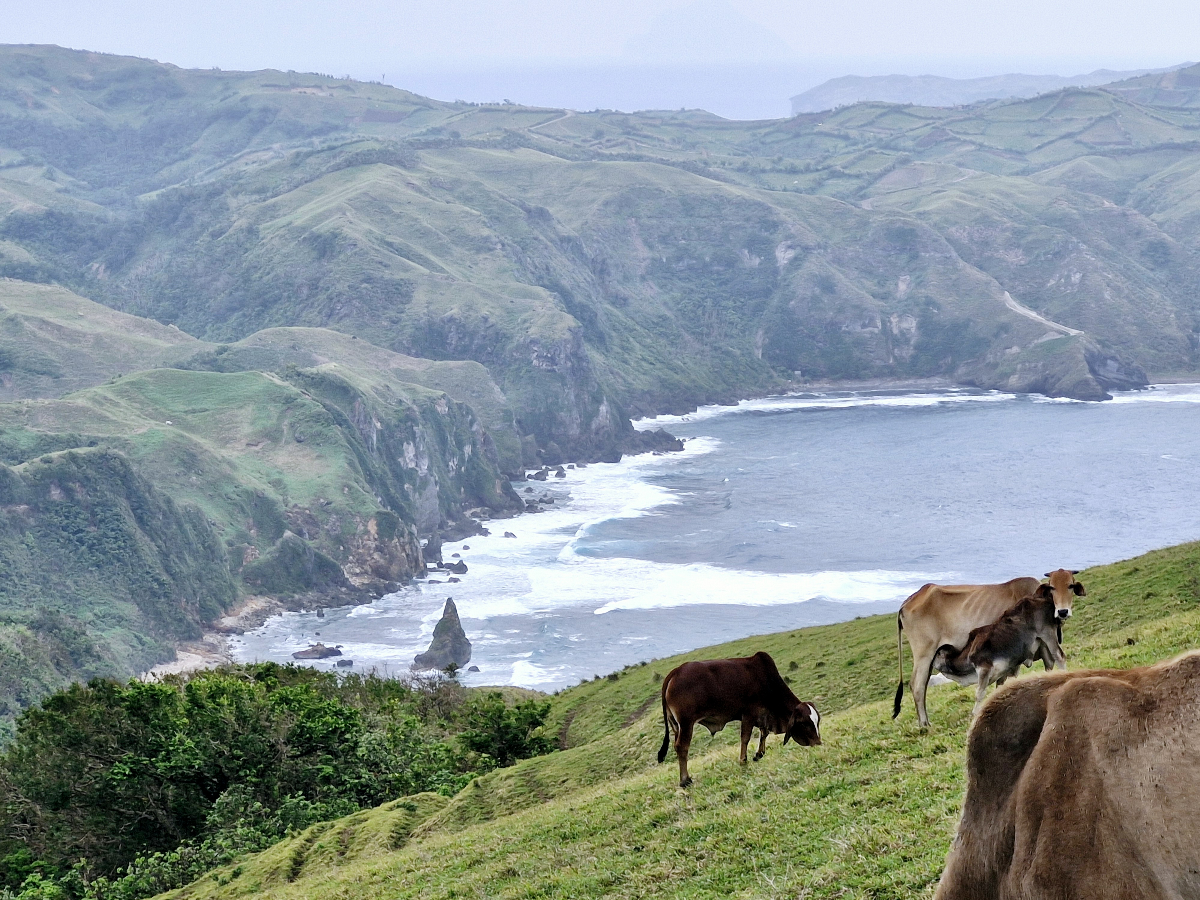
Located at Mahatao’s outskirts, it is also called Vayang (“rolling hills”) or Japarao but is more popularly called the “Marlboro Country of Batanes,” a referral derived from a 1968 Marlboro cigarette TV advertisement, mainly because of the rolling hills of limitless, velvety grazing grassland where cattle, carabao and horses are aplenty.
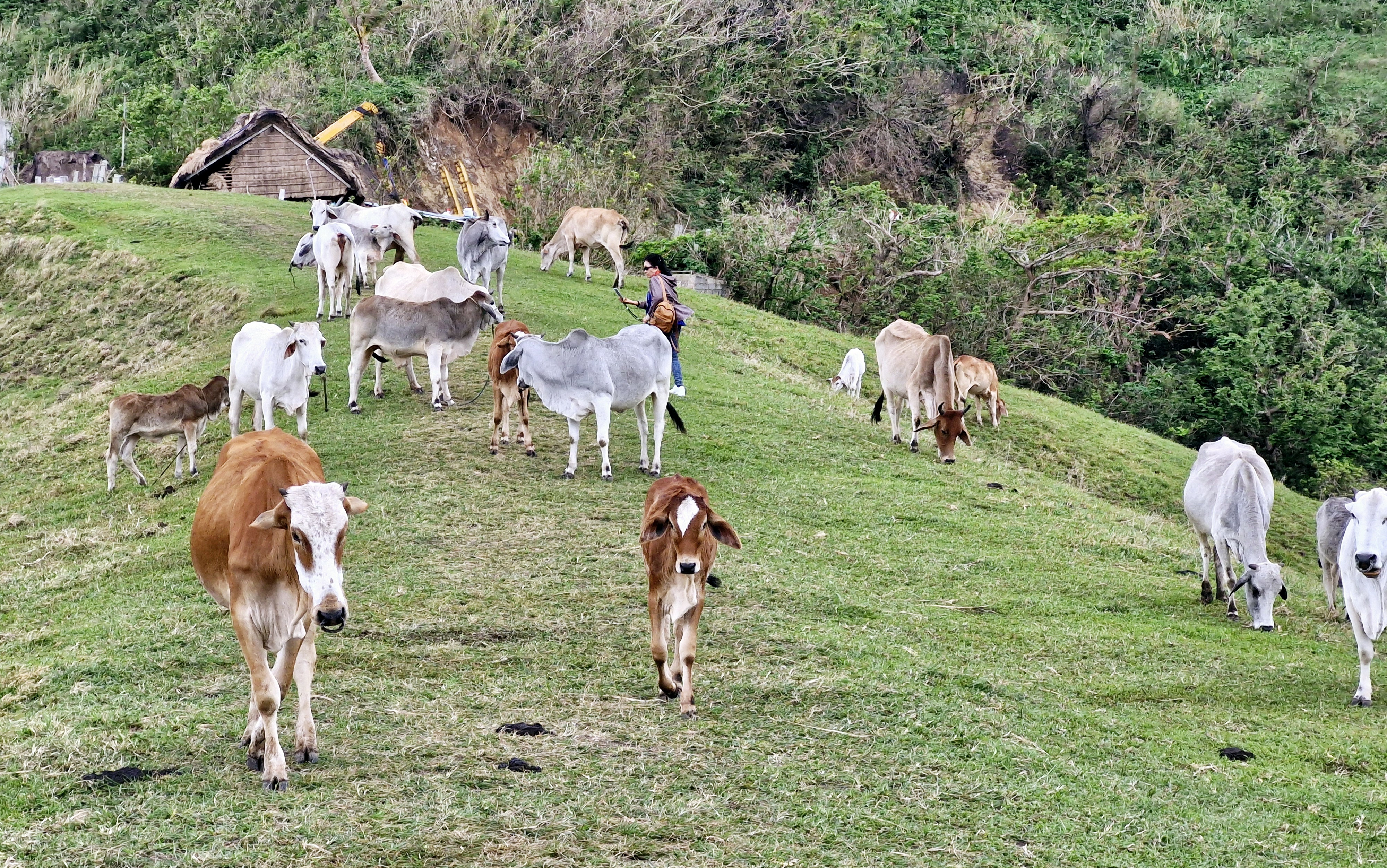
Grazing cattle
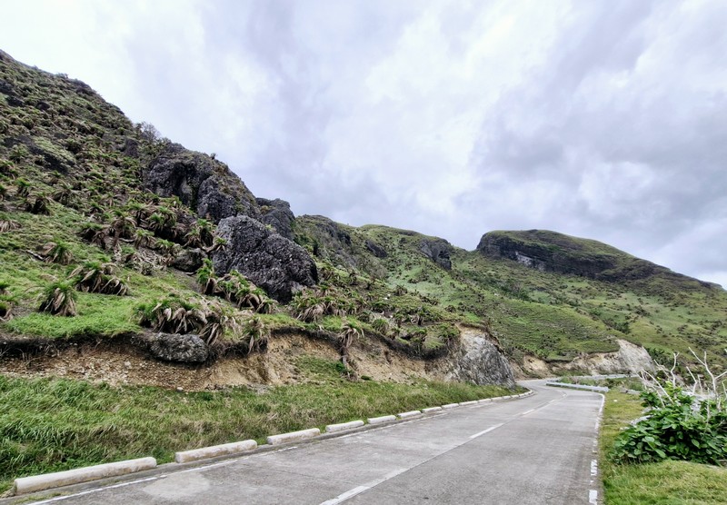
This huge track of communal pastureland, preserved by the villagers, have fields often typically hedged with tall rows of reeds, trees, cogon grass or piled stones. These hedgerows serve as some sort of windbreaker, protecting the crops against the harsh winds and typhoons. They also help prevent soil erosion.
The site is protected by the NIPAS Act (a law securing the proper use of protected lands in the country) and the Batanes Protection Act of 2000 (a law stipulating a Batanes as a cultural heritage and ecotourism zone). Therefore, the protection of the environment is strictly enforced in the area.
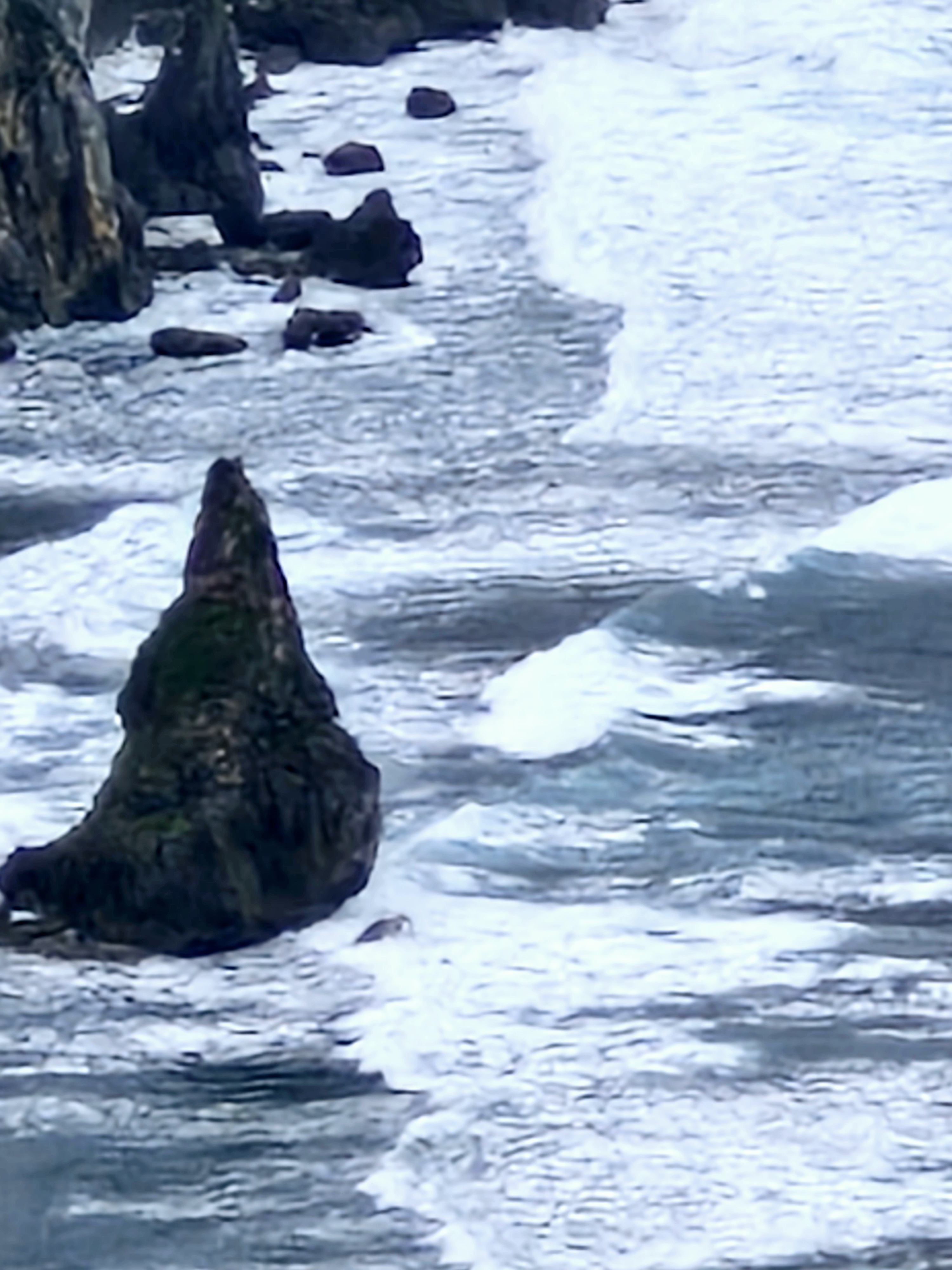
A cone-shaped islet
A large part of this area is occupied by the Cattle Raisers Association of Communal Pastureland No. 1, the oldest and most intact group in Batanes, with management ensuring that equitable access and distribution of the benefits derived from the grazing land.
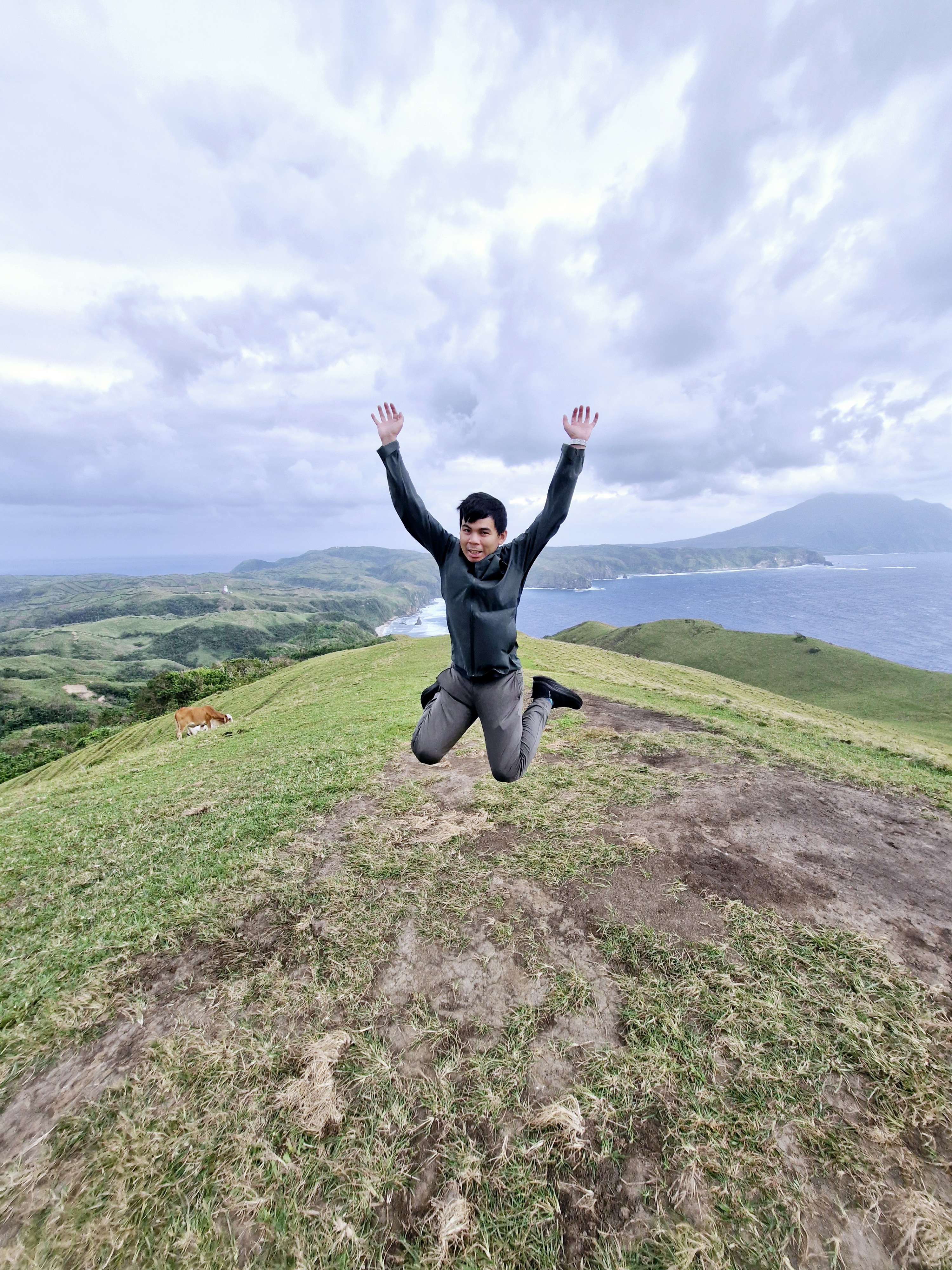
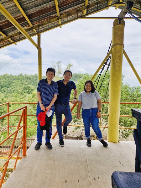
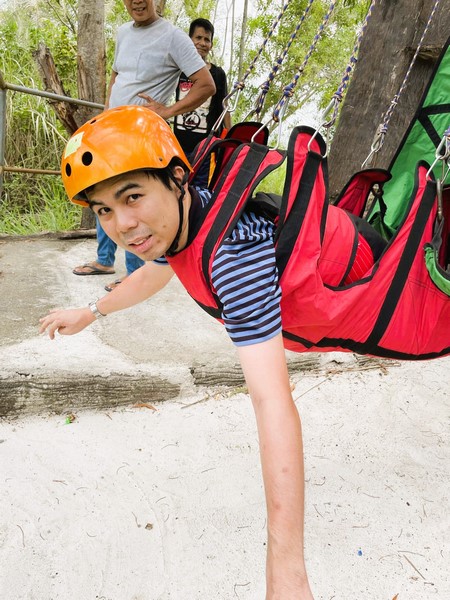
Jandy doing a jump shot
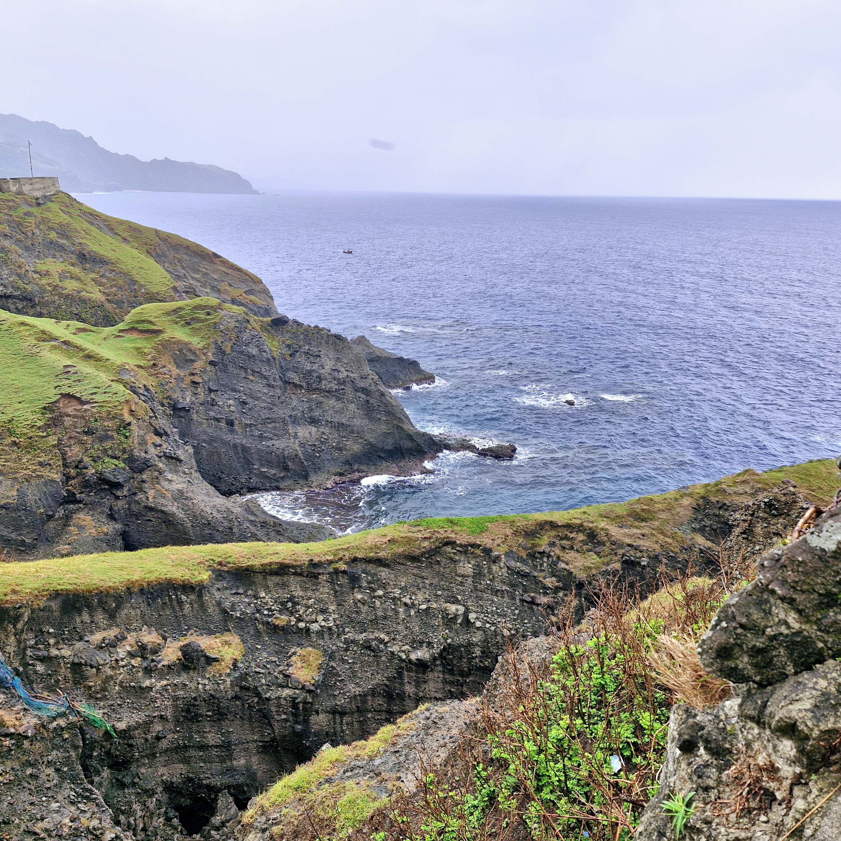
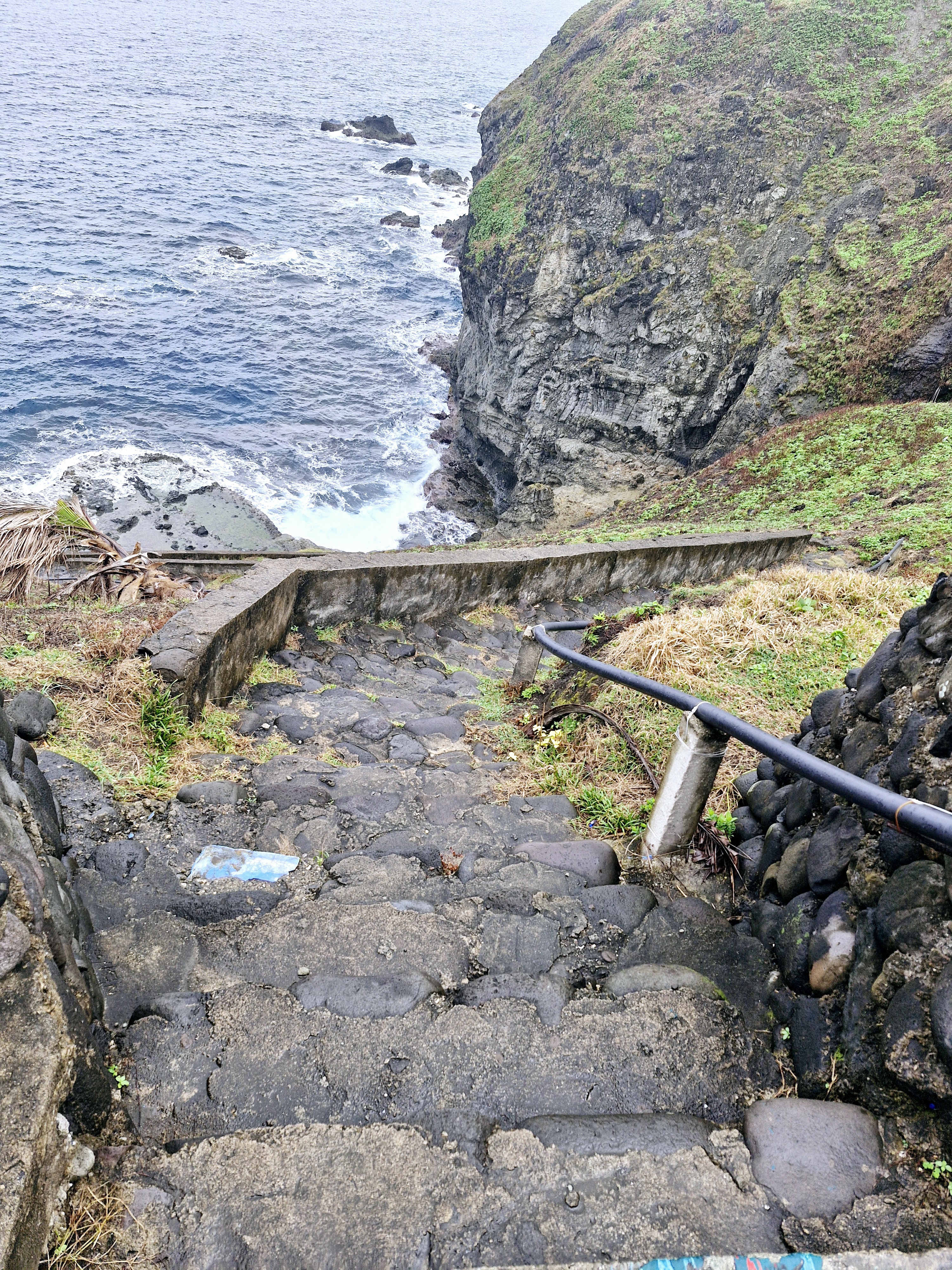
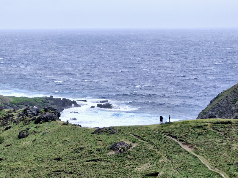
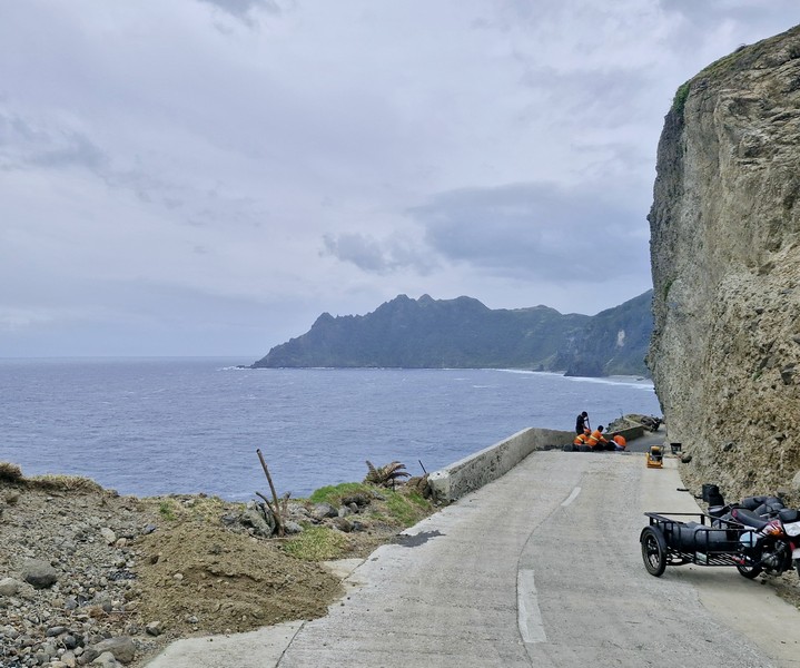
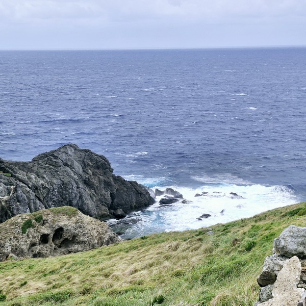
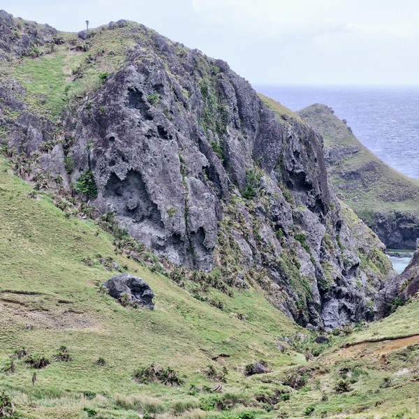
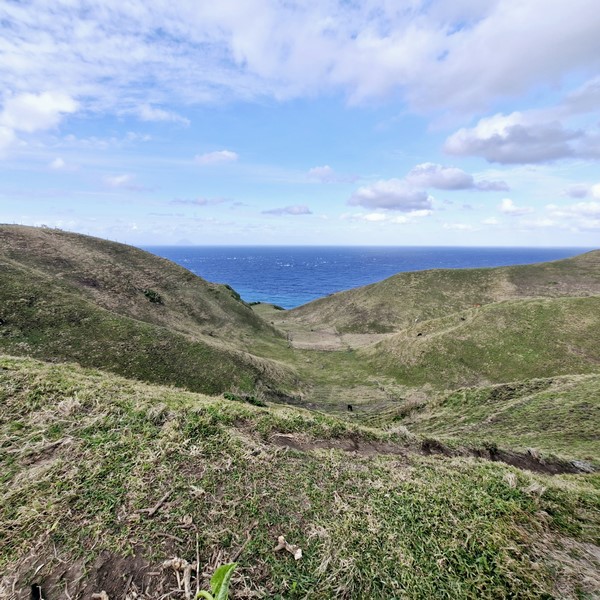
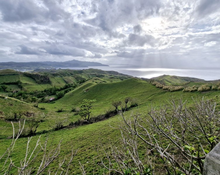
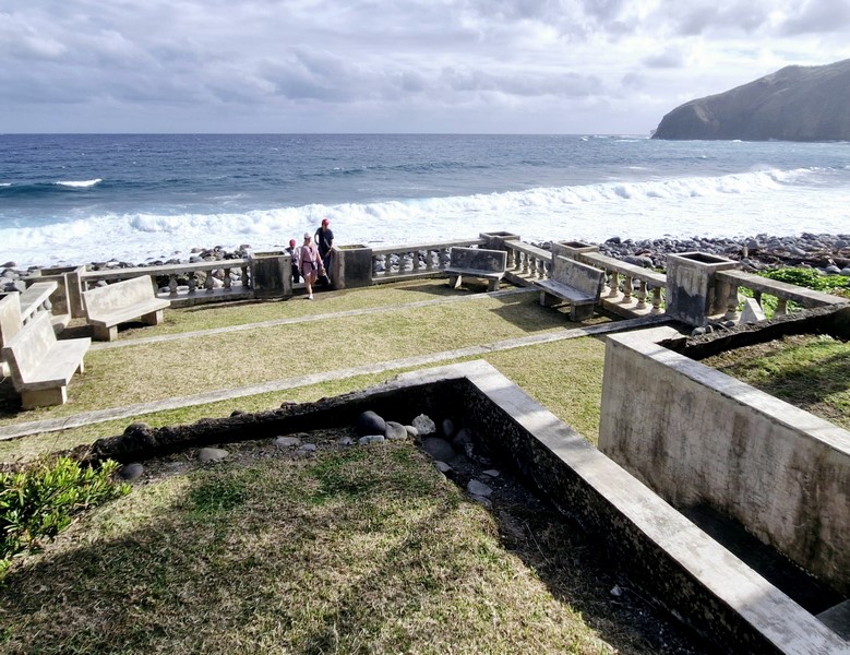
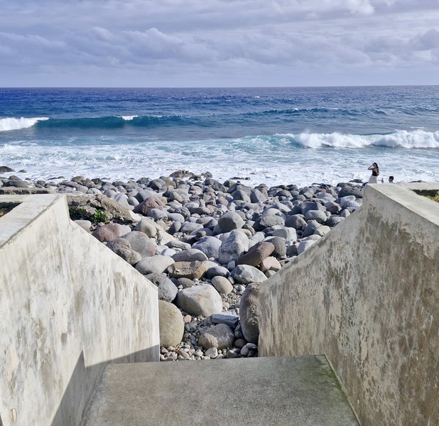
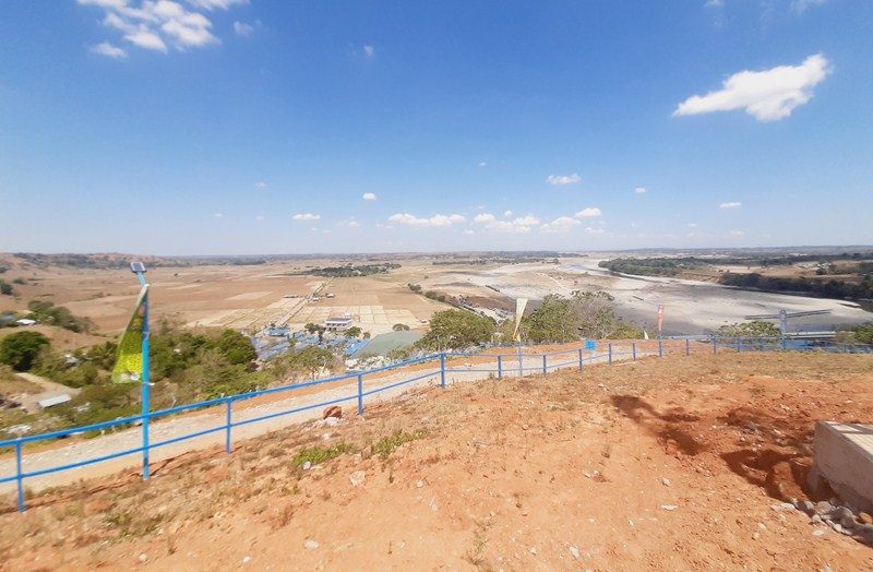
From the top of the hills, the view here is nothing short of spectacular. We had a clear, picture-perfect view of the rugged coastline below, with cliffs plummeting down to Diura Beach and a cone-shaped islet, the Pacific Ocean on the horizon, Tayid Lighthouse, crested on an opposite hill, to the north, Mt. Iraya on the far north, and the Dingo island close by.
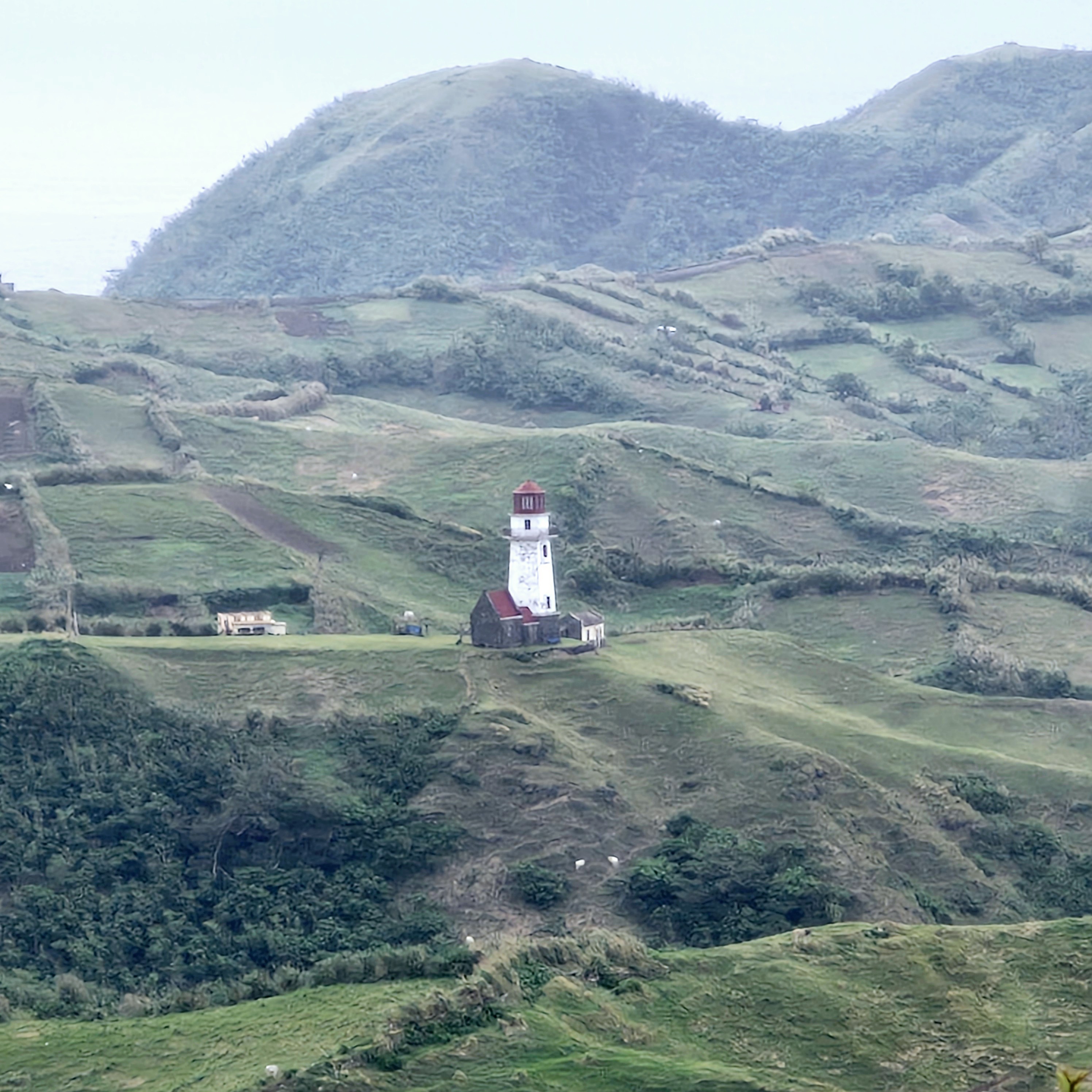
Tayid Lighthouse amidst hedgerows
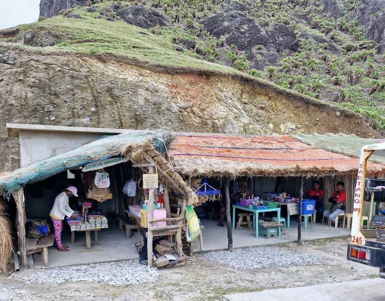
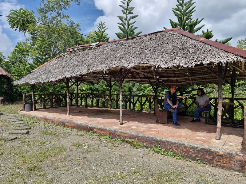
It is also a nice venue for landscape photography and kite flying. For dining, there’s Maconines Canteen which serves local dishes such as uvud, mahi-mahi, vunes, lunis and Batanes lobsters.
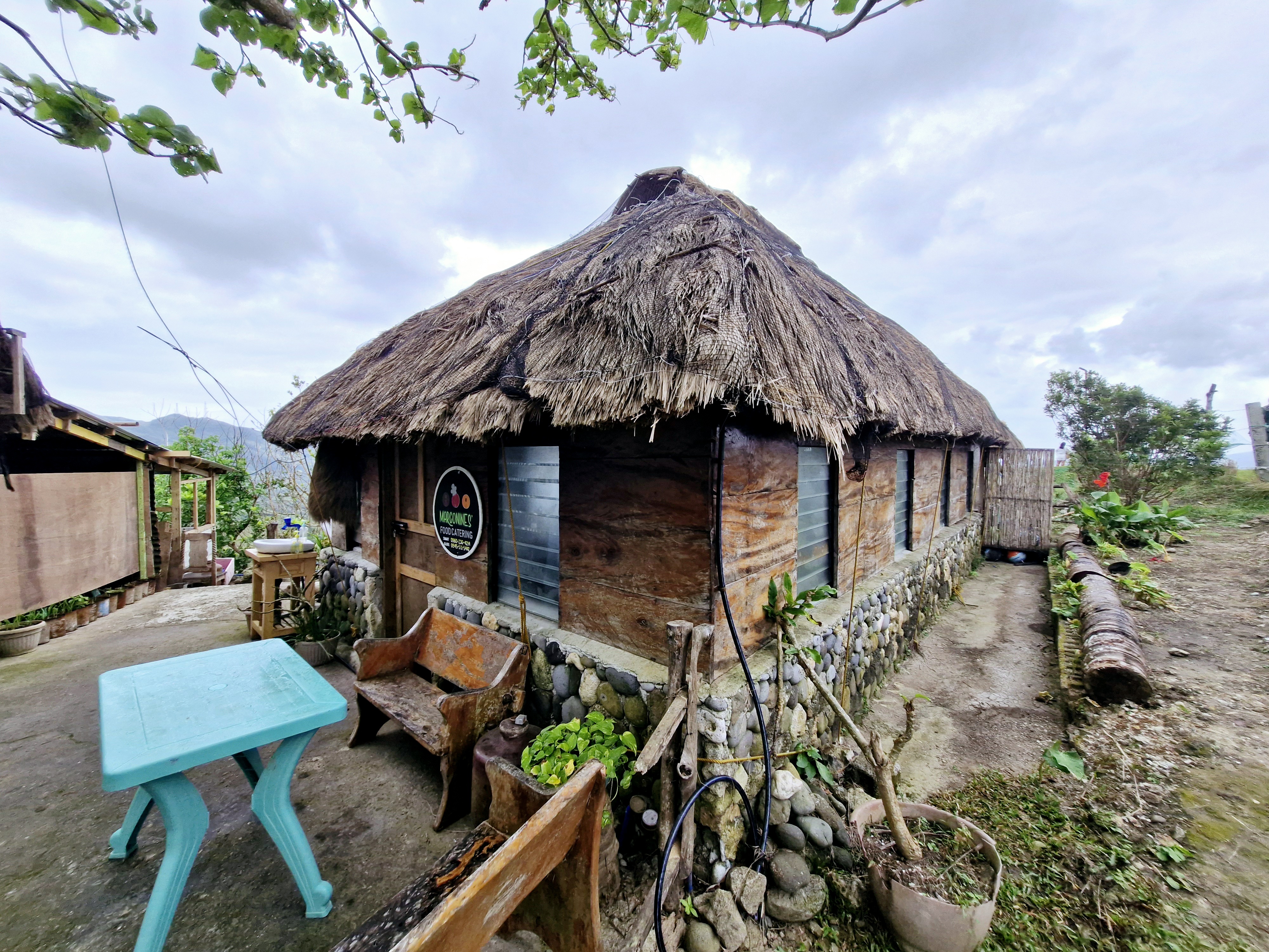
Marconines Canteen
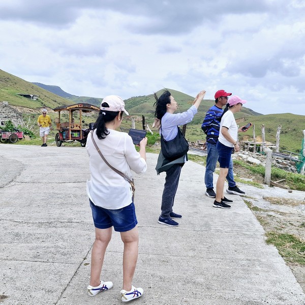
Racuh a Payaman was also featured in the 2015 film You’re My Boss, starring Toni Gonzaga (as Georgina) and Coco Martin (as Pong). Here, Georgina and Pong were taking lots of selfies as the day was coming to a close.
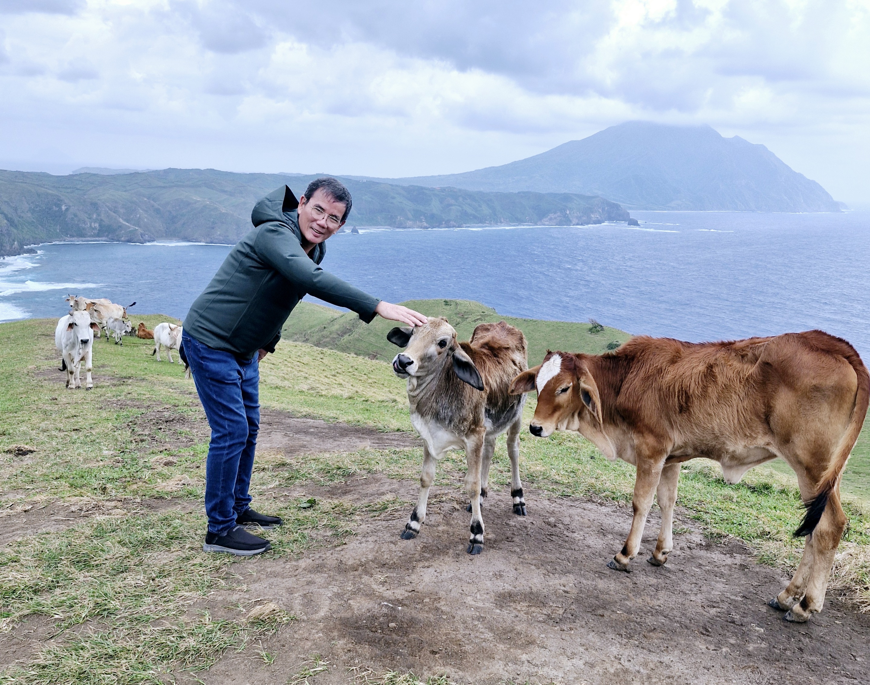
The author befriending a cow
Racuh-a-Payaman: Brgy. Uvoy, 3901 Mahatao.
How to Get There: Mahatao is located 13.4 kms. (a 30-min. drive) south of Basco. Located just between Mahatao and Imnajbu in the east-central Batan Island, this pastureland can be reached by tricycle from Basco Airport or Basco Town Proper. You can also hire a tricycle for a tour of South Batan, which includes a stop at Marlboro Country.