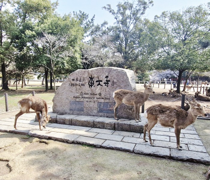
Our fourth full day in Japan was to be spent on a whole day tour of Nara, a 32-km. (35-min.) drive from Osaka. Our first stopover was to be Nara Park (Nara Kōen), a public park at the foot of Mount Wakakusa , designated as one of the “Places of Scenic Beauty” by the Ministry of Education, Culture, Sports, Science and Technology (MEXT). One of the oldest parks in Japan, it was established in 1880.
The park, under the administrative control of Nara Prefecture, is known for its over 1,200 wild, freely roaming sika deer (shika) around in the park that are also under designation of MEXT and classified as Natural Treasures. The sika deer were considered divine and sacred by both Kasuga Grand Shrine and Kōfuku-ji.
According to local folklore, Takemikazuchi, one of the four gods of Kasuga Grand Shrine, received an invitation from Kashima Shrine (in present-day Ibaraki Prefecture) and he was said to, and appeared on Mount Mikasa (also known as Mount Wakakusa) riding a white deer. From that point, killing one of these sacred deer was a capital offense up until 1637, the last recorded date of a breach of that law.
While the official size of the park is about 502 hectares (1,240 acres), defined by the Urban Park Act in 1960, the surrounding area including the grounds of the Nara National Museum and Shinto shrines and Buddhist temples, which are either on the edge or surrounded by Nara Park, is as large as 660 hectares (1,600 acres).
Within the 660-hectare area are World Heritage Sites (Tōdai-ji, Kōfuku-ji, Kasuga Grand Shrine and the Kasugayama Primeval Forest), registered under the title Historic Monuments of Ancient Nara, as well as 47 buildings and 374 arts and crafts (mainly consisting of Buddhist statues and religious arts and crafts) designated as National Treasures and Important Cultural Properties found in the grounds of Buddhist temples and Shinto shrines such as Todai-ji, Kofuku-ji, Kasuga Grand Shrine, Shōsōin, Shin-Yakushi-ji, Gangō-ji, and others; designated by the Japanese government.
Check out “Kofuku-ji Temple” and “Todai-ji Temple”
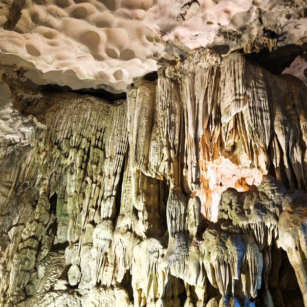
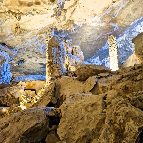
The Kasugayama Primeval Forest is also designated as a Special Natural Monument (Tokubetsu Tennen Kinenbutsu), while the sika deer, the habitat of the Panchala ganesa butterfly, the Nageia nagi tree forest of Kasuga Grand Shrine, and the Prunus verecunda “Antiqua” tree of Chisokuin are designated as Natural Monuments (Tennen Kinenbutsu).
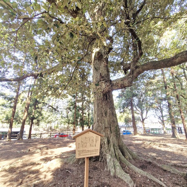
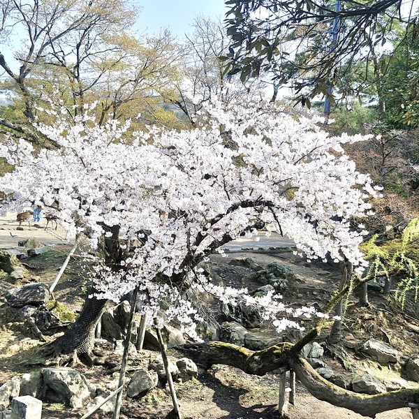
Aside from sika deer, the other wild animals that inhabit the park include wild boar, Japanese raccoon dogs, Japanese giant flying squirrels and Japanese squirrels, among others. The vegetation consists of pine trees (matsu, some reported to be over 1,000 years old), roughly 1,700 cherry blossom trees (including shidarezakura weeping varieties), camphor trees (kusu), maple trees (momiji), plum trees, Japanese cedar (sugi) and Japanese pieris, among others.
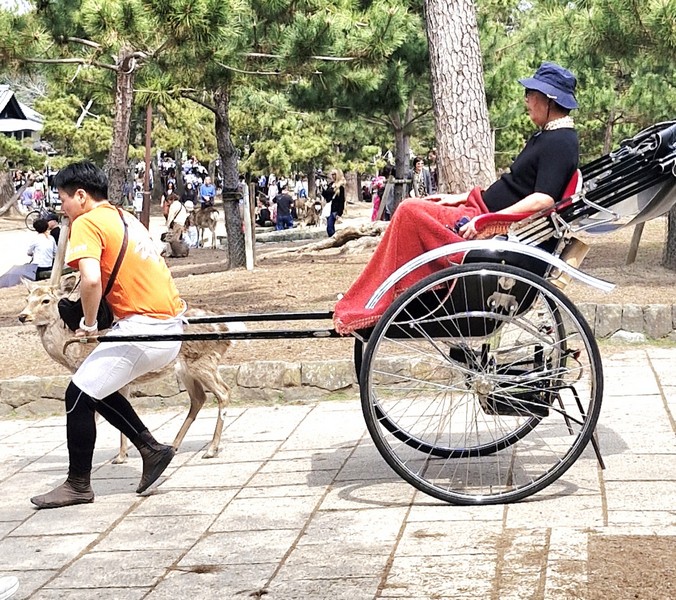
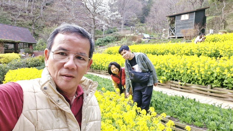
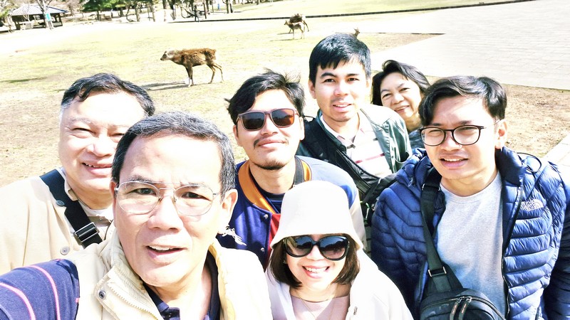
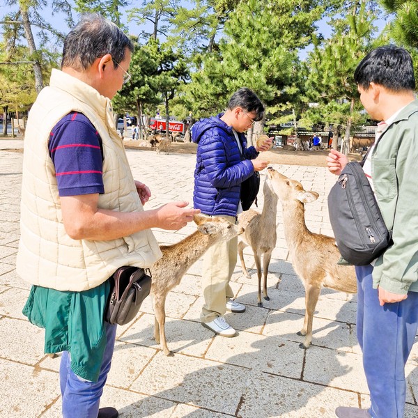
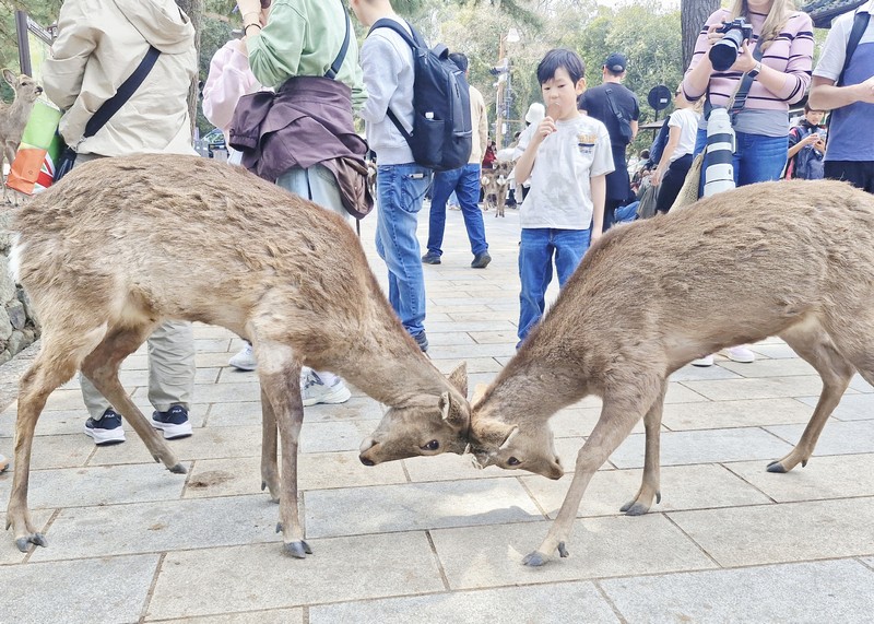
For centuries, the Nara deer have coexisted with the city’s inhabitants, and now, the multitude of travelers coming, from far and wide, to take their picture-perfect selfies with them. Any visit to Nara Park is never complete without frolicking amongst, and feeding its herds of four-legged creatures. The deer are known for bowing their heads to tourists to request specially sold, registered shika-senbei (“deer-crackers”), at 200¥ per pack, which are exclusively sold by the WNOW company.
These bows are learned (not instinctual) gestures to get food and deer can be highly opportunistic, using bows as an “implied threat” for food. The experience can unnerving for others who flee in terror as a dozen more of them surround them in search of their own treats. They can also be aggressive, biting, chasing, or head-butting visitors for crackers.
Nara Park: 469 Zoshicho, Nara, 630-8501, Japan. Tel: +81 742-22-0375. Coordinates: 34.685°N 135.85°E
How to Get There: Nara Park is serviced by the Kintetsu Nara Station (a 5-min. walk) and is reachable by the Kintetsu Line from Osaka-Namba Station.