
Old Guiob Church Ruins
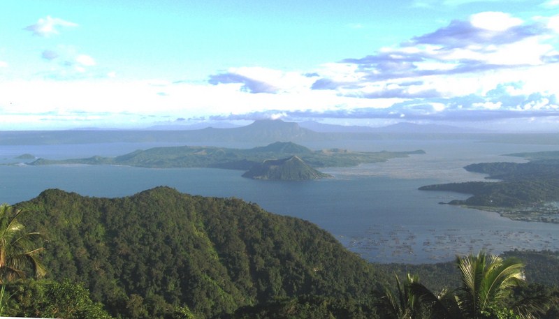
After our merienda at The Beehive, we again boarded our multicab for the short 3.3-km. (10-min.) drive to the Church of St. Roche Ruins, our last destination. Also called the Old Gui-ob Church (Cotta Batto), it is Camiguin’s version of Albay’s Cagsawa Ruins.
Check out “The Beehive” and “Cagsawa Church Ruins“
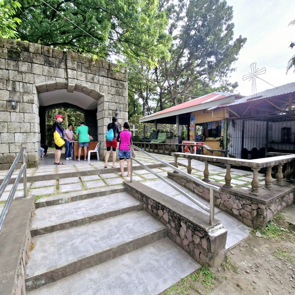
Entrance to the ruins
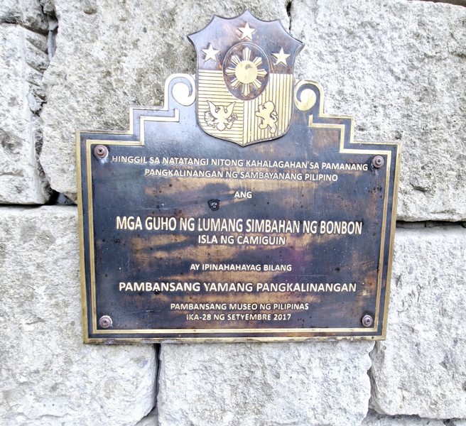
The National Cultural Treasure plaque
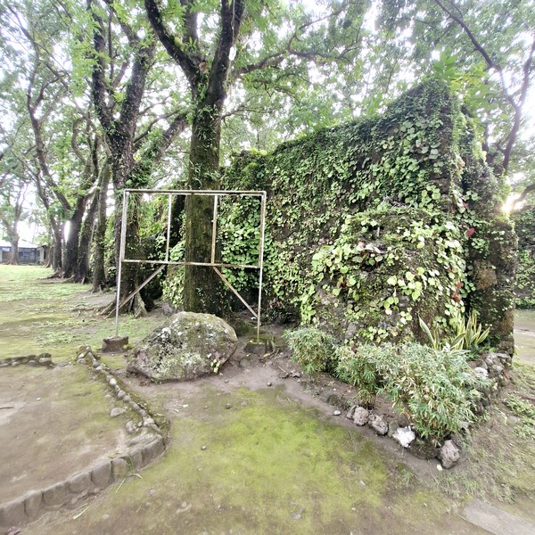
This coral and stone-hewn church, built in 1623 as the parish of San Roque (St. Roche), was half buried by lava flows during the May 1, 1871 eruption of Mt. Hibok-Hibok that created the 838-meter high Vulcan Daan (locally called Tandang Bulkan), a volcanic fissure that spewed out lava and destroyed the town.
Check out “Old Guiob Church Ruins (2001)”
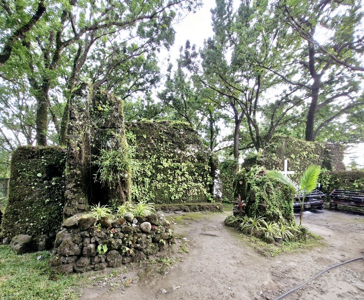
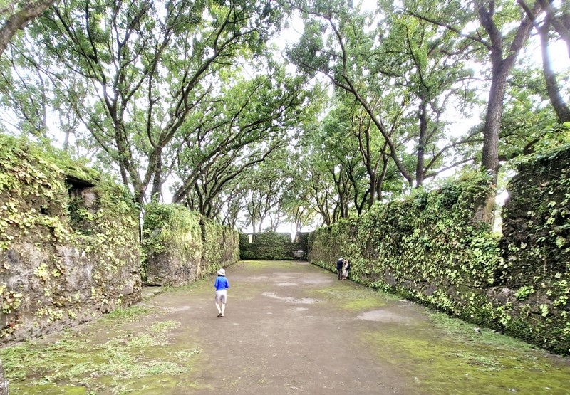
All that remains are haunting ruins of the 400-year old church, the rectory and, at the back of the church, the base of the bell tower, beside which is a centuries-old camel tree (locally called doldol). Near the tower is a modern, solar-powered lighthouse.
During my first visit in 2001, a small chapel has been built within the ruins but it has now been removed.
On September 28, 2017, 16 years after our first visit, the church ruins, the nearby Sunken Cemetery and the Moro watchtower were declared as National Cultural Treasures by the National Museum of the Philippines.
Check out “Sunken Cemetery“
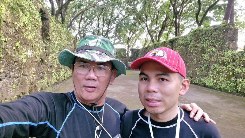
The author (left) with his son Jandy
The moss-covered, roofless ruins, shaded by large trees, is now a popular tourist attraction in the province and is a peaceful place to roam around.

Church of St. Roche Ruins: National Highway, Brgy.Bonbon, Catarman, Camiguin. Admission: Php50/pax.
How to Get There: The ruins are located 16 kilometers from Catarman and 20 kilometers from Mambajao proper.
.JPG)
.JPG)


