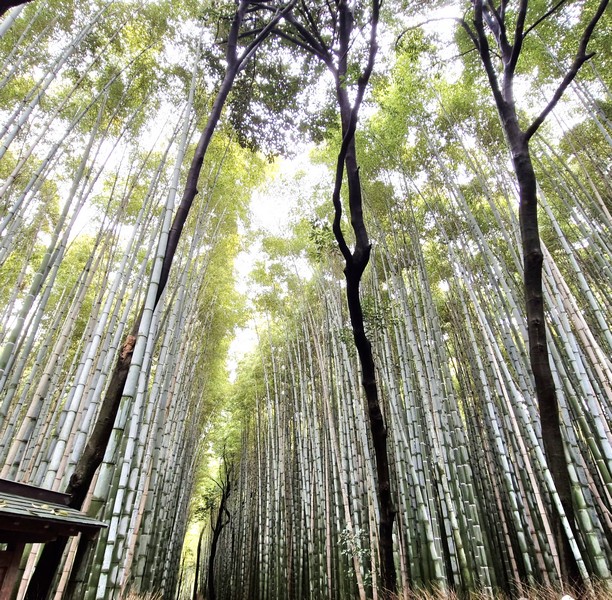
On our last full day in Japan, we were to do a whole day tour Kyoto. Our first destination was the stunning Arashiyama Bamboo Forest which was 61.6-km. (over an hour’s drive) from our hotel. Also called the Sangano Bamboo Grove, is a 16 sq. km. (6.2 sq. mi.), natural bamboo forest consisting mostly of mōsō bamboo (Phyllostachys edulis).
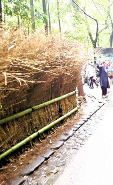
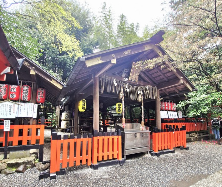
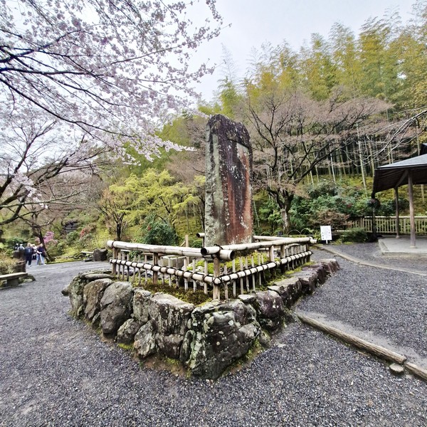
Upon arrival, we made stops at the small Nonomiya Shrine and the Sogenchi Garden of the famous Tenryū-ji Temple. Brushwood fencing (koshibagaki), made from spicebush, are found along the paths through the bamboo forest.
Check out “Nonomiya Shrine” and “Sogenchi Garden”
The towering bamboo forest is an almost shocking contrast to the urbanity surrounding it. Growing tall on the edges of Kyoto, the Arashiyama Bamboo Forest, a once tranquil nature spot, is now a series of tourist-packed wooden pathways that weave through the dense thicket of tall bamboo stalks that reach dozens of feet into the sky, creating a canopy.
However, if you can escape the sounds of camera shutters and boorish visitors, you can still hear the rustling of the leaves; bending, creaking, and swaying of the wood and trunks knocking together as the wind passes through the tightly packed plants, creating a peaceful sound like almost nothing else.
If you can find a time to visit the bamboo forest, when it is relatively empty, the combination of visual beauty and auditory calm can be one of a kind. There is no word, however, on how the place smells.
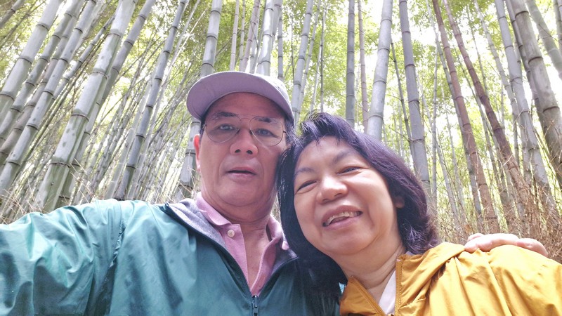
When the hordes of tourists aren’t drowning it out, the meditative natural noise is so lovely. In fact, Japan’s Ministry of the Environment has designated the location’s aural pleasures as one of the country’s governmentally-recognized “100 Soundscapes of Japan,” an initiative designed to encourage the local population to get out and appreciate the country’s acoustic wonders.
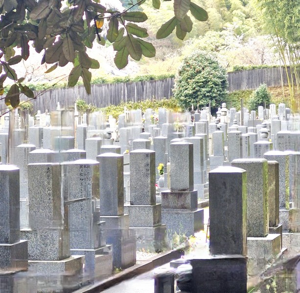
Along the way, we also passed by the Adashino Nenbutsu-ji Temple, a historic burial ground featuring over 8,000 stone statues (rakan) and monuments, representing forgotten or lost souls, surrounded by a peaceful, less crowded bamboo forest.
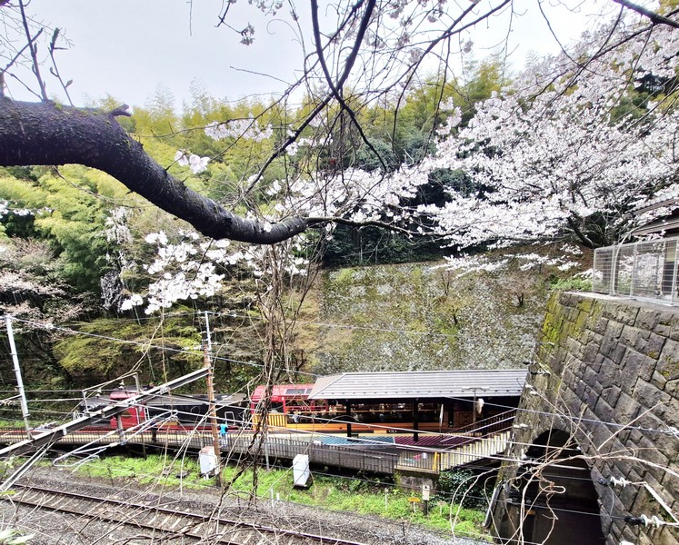
At the end of the forest, we also came across the stunning station of the Sagano Scenic Railway (also dubbed the “Sagano Romantic Train”), a retro-style steam train, with open-air carriages, which takes passengers on a 7.3-km./25-min. journey along the scenic Huzu River Gorge.
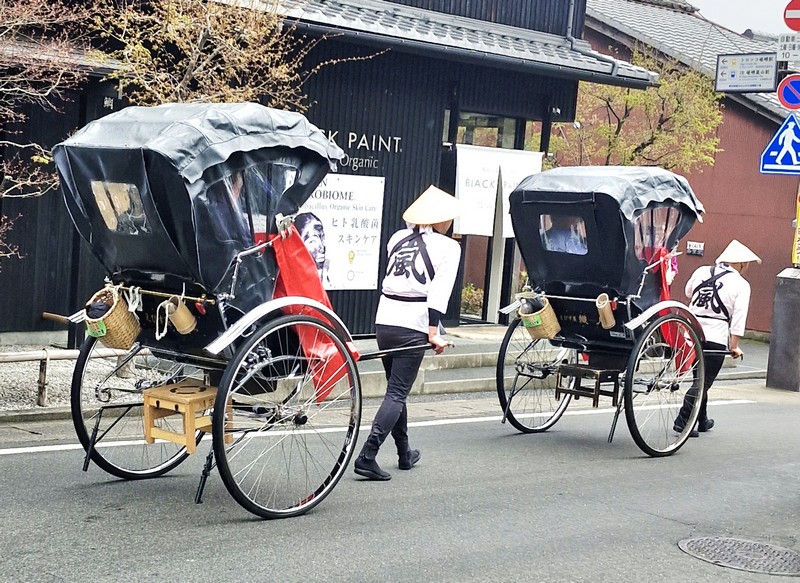
Along exclusive, quieter pathways (closed to general pedestrians), we saw passengers on board jinrikishas (Japanese rickshaws) pulled by personal guides, a luxurious, crowd-dodging alternative to walking.
North of Arashiyama is the quirky, small but serene Mikami-jinja Shrine, a highly specialized landmark tucked away near the Sagano area. Built in 1961 by a Kyoto barber, it is the only shrine in Japan dedicated specifically to hair styling, beauty (cosmetics, hair washes, hair growth products, wigs, etc.) and hair health. It is dedicated to Fujiwara Uneme no Suke Masayuki, a historical Kamakura-period (1192 – 1333) hairdresser credited as the founder of the barbering profession in Japan. Their ema (wooden votive tablets) and charms are designed in the shape of a comb.
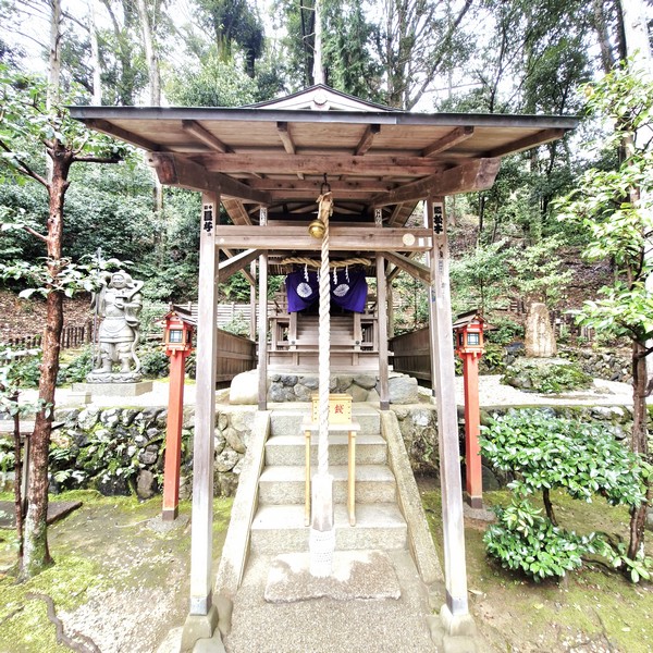
A highly popular stop for those in the beauty industry or anyone seeking remedies for hair loss and damage, visitors here can opt to have a small lock of hair cut by a priest and offered in a special bag at the shrine’s “hair mound” to pray for hair health. In front of the shrine is Ogura Pond which is famous for its lotus flowers.
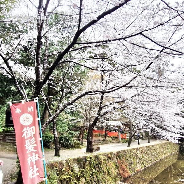
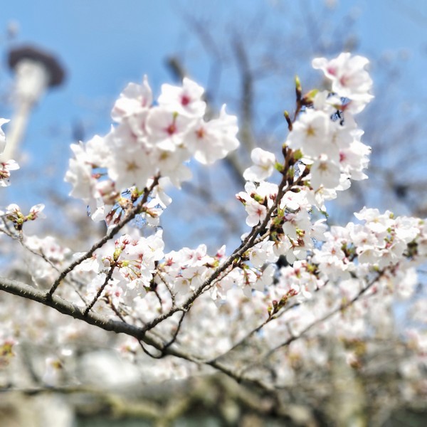
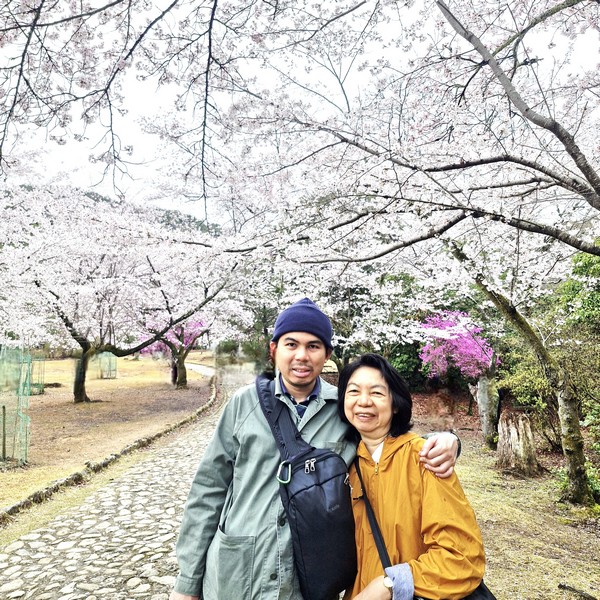
We got a welcome respite from the crowds of the nearby Bamboo Forest by making a left at the T-junction at the top of the hill and soon find ourselves at Kamayama-keon Park. As we arrived during the sakura (cherry blossom) period (late March and early April), the trees were in full bloom. Too bad we couldn’t make our way uphill and to the west as we could’ve seen some fine views down to the Hozu-gawa River and across Kyoto. Troops of wild monkeys are said to occasionally patrol the park.
Arashiyama Bamboo Forest: Sagaogurayama Tabuchiyamacho, Ukyo Ward, Arashiyama District, Kyoto, 616-8394 Japan. Tel: +81 75-343-0548. Prior to 2015, there was a charge to access the forest. Coordinates: 35°00′34″N 135°40′00″E.
How to Get There: The Arashiyama Bamboo Forest is situated northwest of Kyoto, near the Tenryū-ji temple and the Nonomiya Shrine. It is only 30 minutes or so from Kyoto city center.