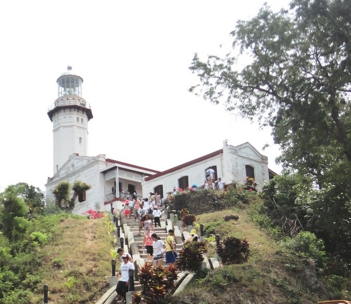
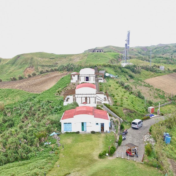
Naidi Lighthouse in Basco
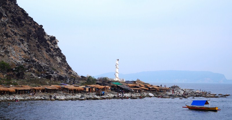
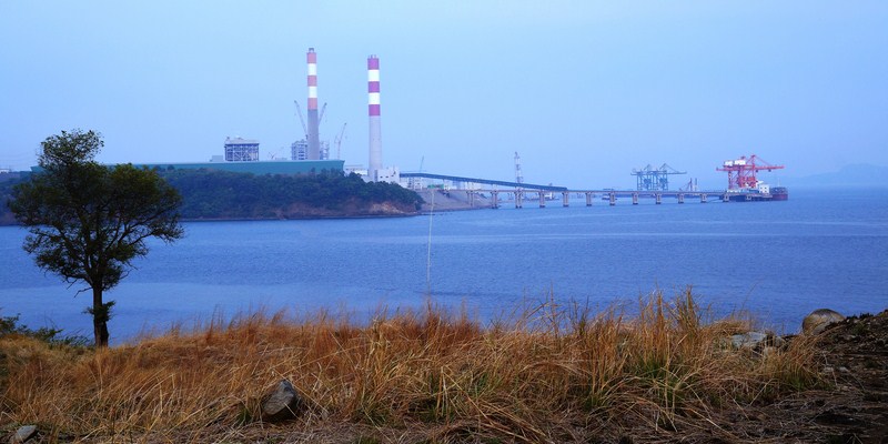
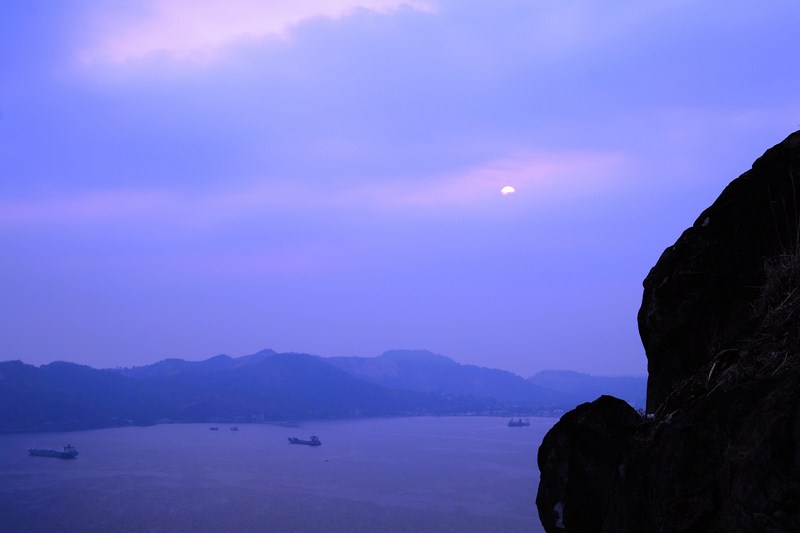
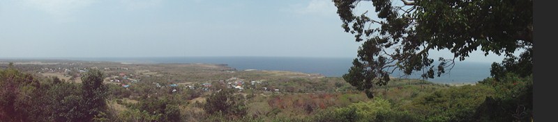
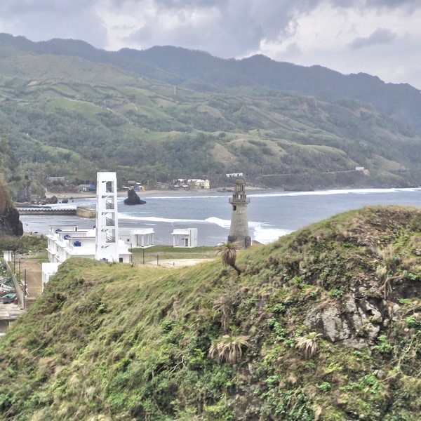
From Vayang Rolling Hills, it was a longer, 2.7-km. (10-min.) drive to Naidi Hills, another good leisurely warm-up for a Batanes trek with a unique panoramic view of Baluarte Bay, Basco town, Mt. Iraya, the sunset and the rolling hills.
Check out “Vayang Rolling Hills”
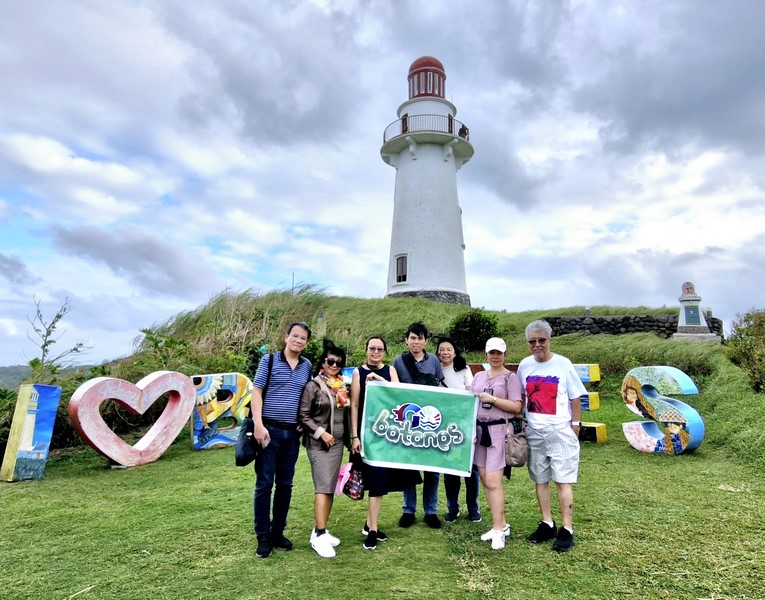
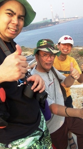
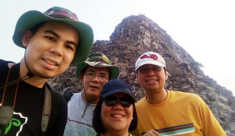
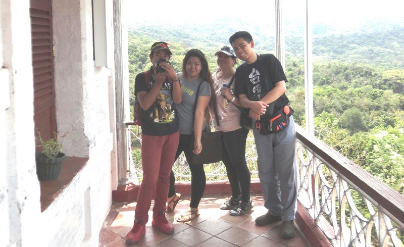
L-R: the author, Gelyn, Des, Jandy, Grace, Lorraine and Jun
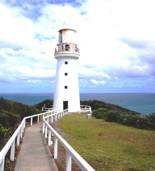
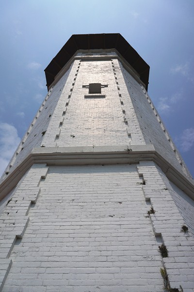
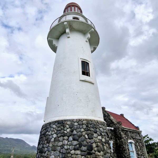
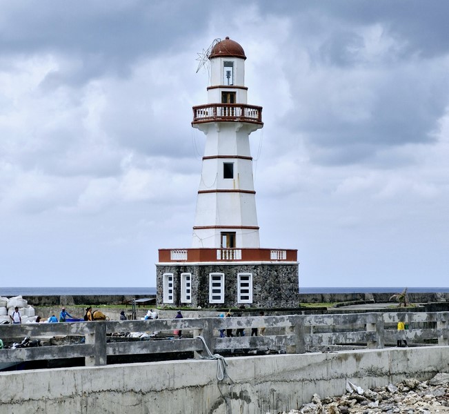
It also has a magnificent, 6-storey (66 ft. high), conical lighthouse, built in March 2003, that stands on the same site of Basco’s first lighthouse and the American period telegraph facilities that connected Batanes with the central government until it was destroyed by the Japanese Imperial Army bombings at the start of World War II.
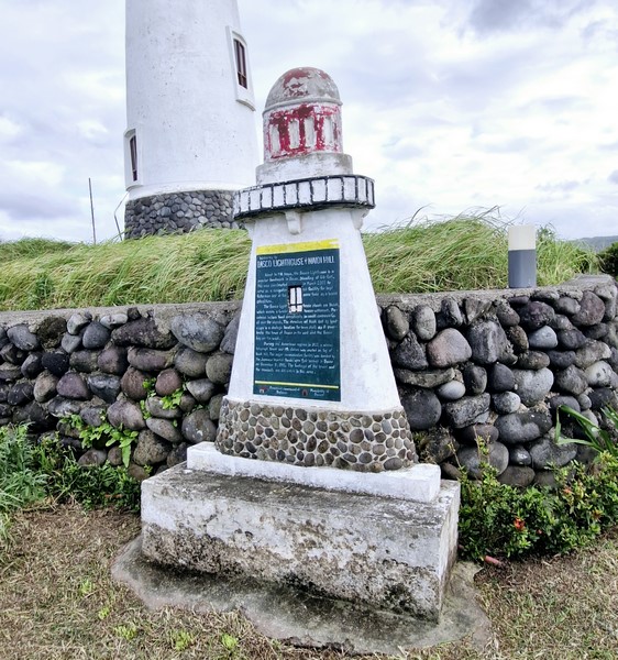
Historical Plaque
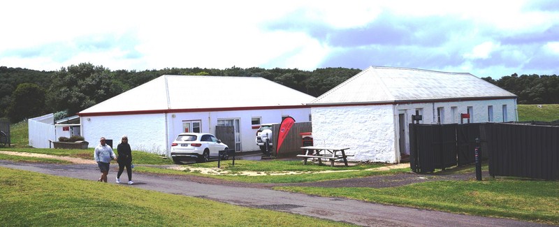
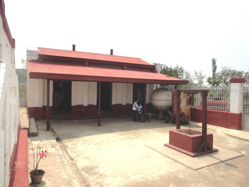
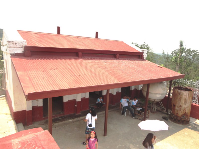
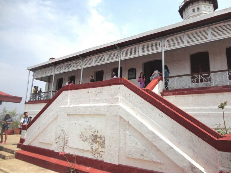
An Ivatan stone house, for the caretaker, constructed with stone or rubble masonry and essentially of vernacular architecture, ushers in visitors (a bed and breakfast service is an added amenity). The round tower is painted white.
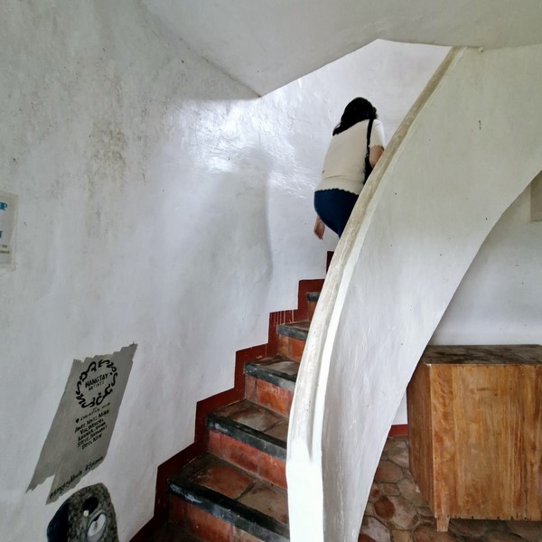
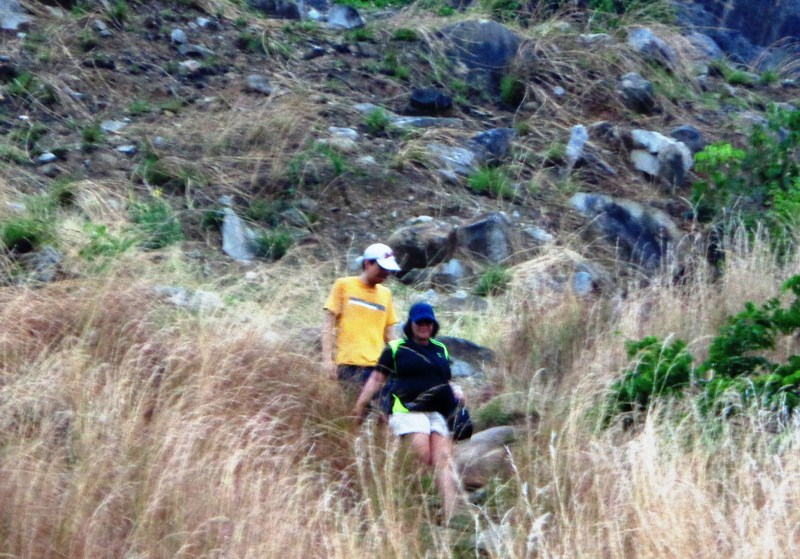
Grace climbing the stairs up to the view deck
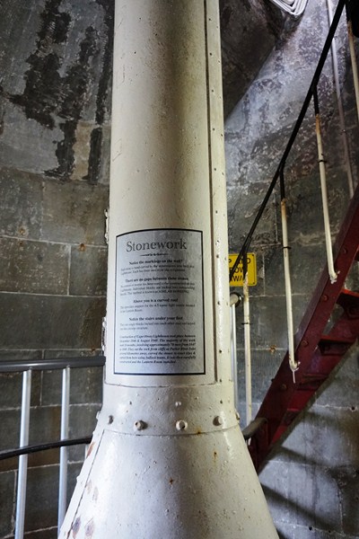
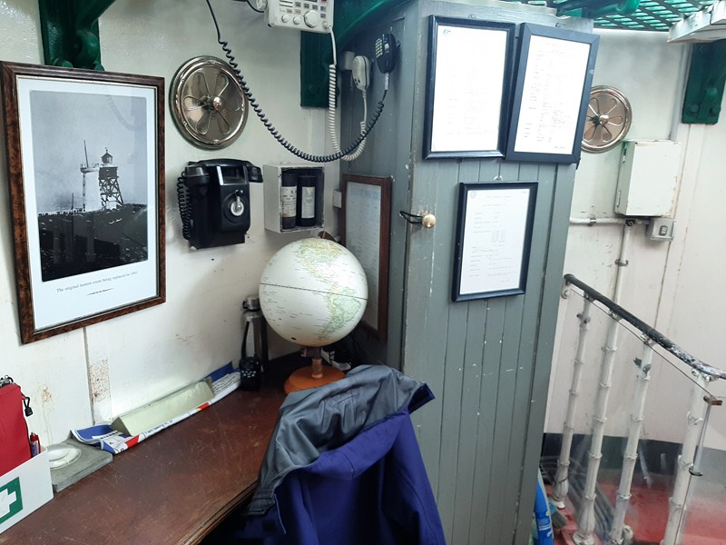
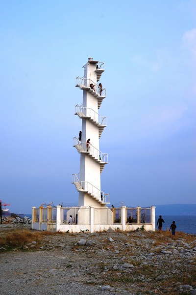
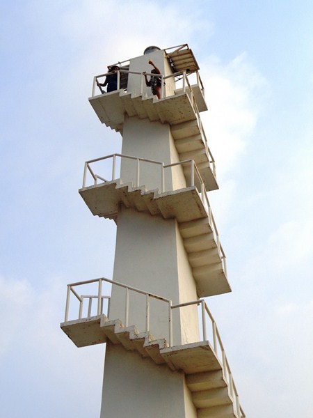
As the lighthouse door was unlocked, Grace, Jandy and I climbed the 54 steps up to the fifth floor which has a gallery or view deck.
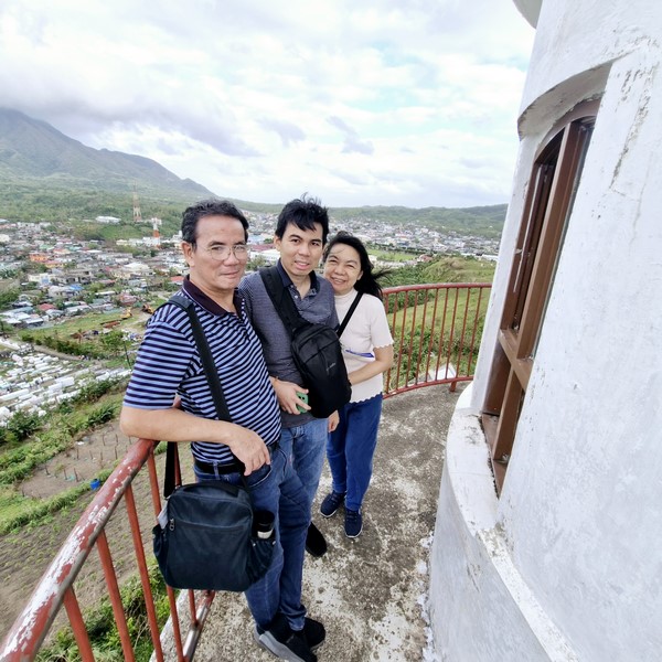
The author, Jandy and Grace at the lighthouse view deck
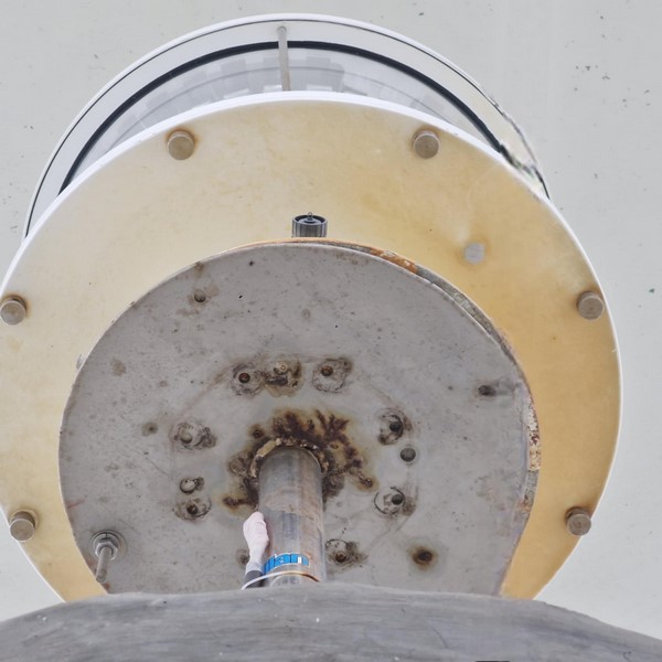
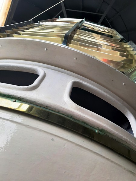
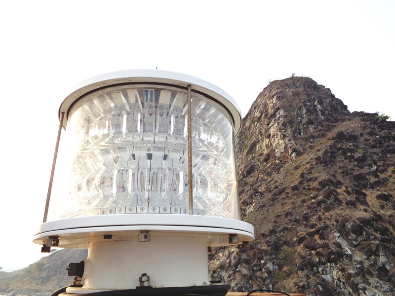
The navigational lantern of the Naidi Lighthouse
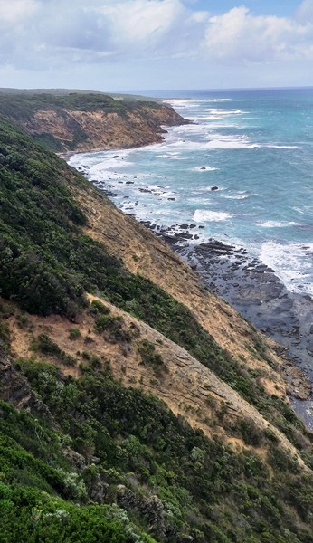
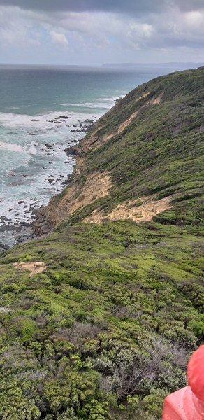
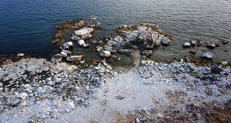
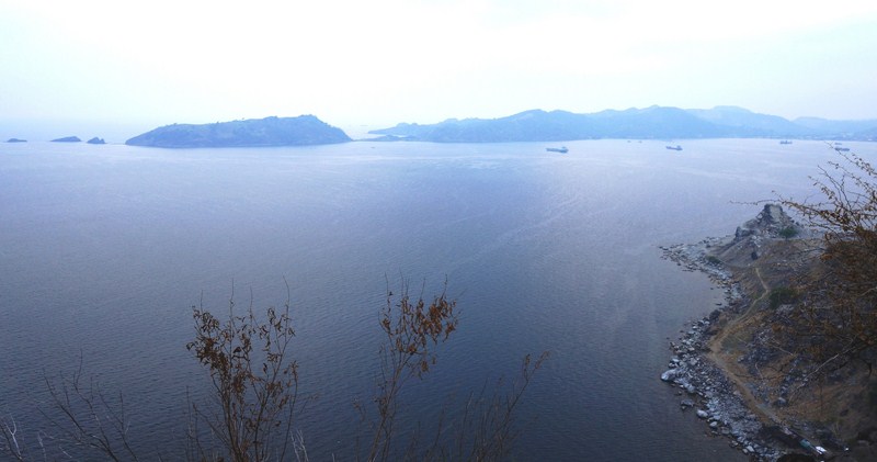
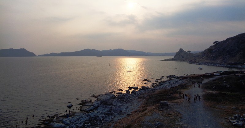
Here, we had a view of the whole of Batan Island from end to end, with Basco to the south, Mount Iraya to the north, and the West Philippine Sea to the west. On a clear day, one can also have a clear view of Sabtang Island in the south of Basco, Itbayat Island to the north, plus the islets beyond Itbayat.
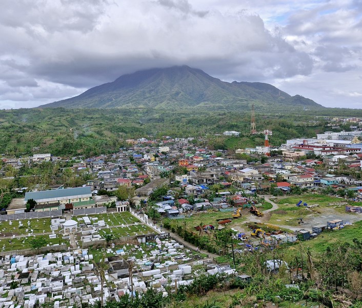
View of Basco and Mt. Iraya
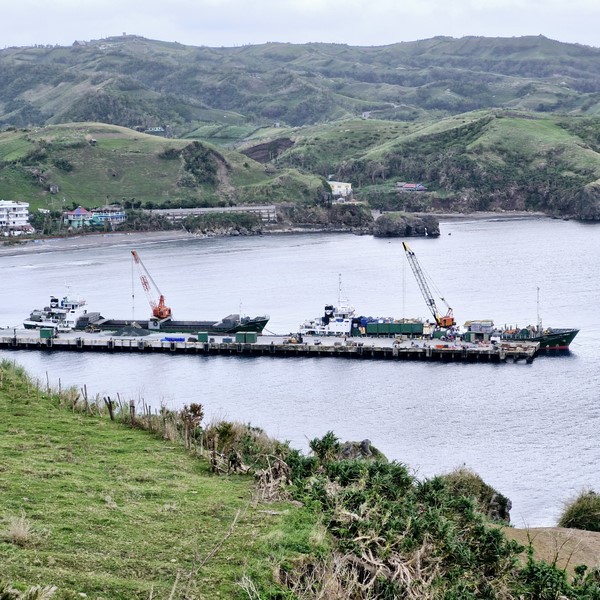
View of Basco Port
American-era bunkers
This is just one of the three lighthouses (the other two are the Sabtang Lighhouse in Sabtang and the Tayid Lighthouse in Mahatao) proposed by former Congressman Florencio “Butch” B. Abad of Batanes. It was built, not only as a working lighthouses to guide seafarers across the perilous waters of the West Philippine Sea and the Pacific Ocean, but also possibly as tourist attractions. All three are capped with a red-painted, concrete lantern rooms with narrow storm panes.
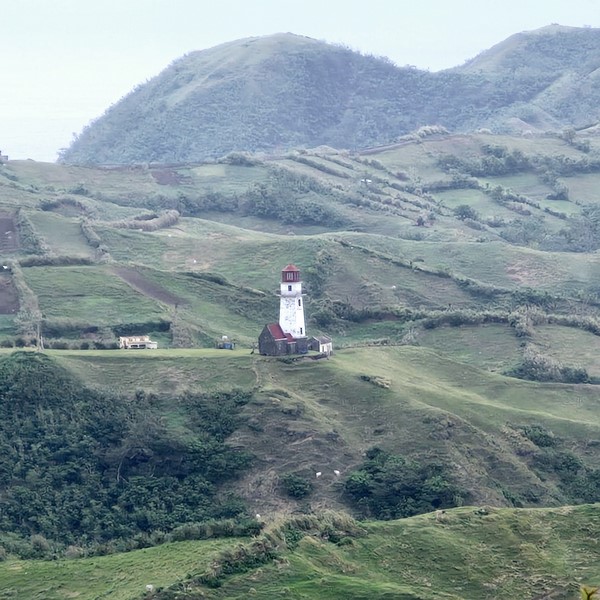
Tayid Lighthouse seen from Racuh a Payaman
The much less accessible Tayid Lighthouse, built in 2000, can be seen from Racuh a Payaman and Diura Fishing Village. It is hexagonal and faces the mischievous Pacific Ocean. The Sabtang Lighthouse, perched on a cliff, is also round like the Naidi Lighthouse but its main tower is all made with rubble masonry all the way to the gallery deck.
Check out “Racuh a Payaman”
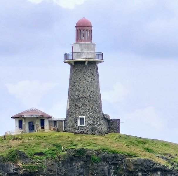
Sabtang Lighthouse
A fourth lighthouse, within Radiwan Port in Ivana, was activated on December 9, 2022. It has a luminous range of 28 kms. (15 nautical miles) to sea.
Ivana Lighthouse
A fifth lighthouse (Busbusan Lighthouse), started in 2016, can be found right next to the Mahatao Boat Shelter Port. A sixth lighthouse, at the Port of Valanga in Itbayat Island, is relatively new and rarely visited. All six lighthouses are maintained by the Philippine Coast Guard, in partnership with the municipalities of Ivana, Sabtang, Mahatao and the Port of Valanga.
Check out “Mahatao Boat Shelter Port”
Busbusan Lighthouse
These were not the first lighthouses in Batanes as two Spanish-era lampposts or farolas, at the church courtyard and the elementary school grounds in Mahatao, were built in 1879 during the term of Dominican Fr. Crecencio Polo (1867 to 1887).
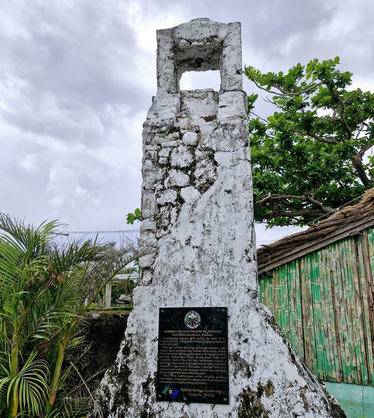
One of two Spanish-era farolas or range lights in Mahatao
These were used as guiding lights to guide fishermen and early mariners, using lighted oil lamps, safely to the anchorage just beyond the town’s seaport.
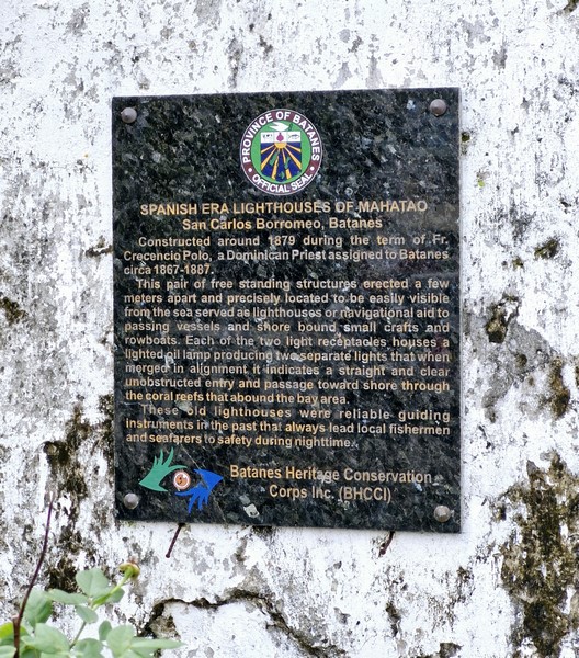
Farola historical plaque
Naidi Lighthouse: Naidi Hills, Sitio Diajang, Brgy. San Antonio, 3900 Basco.
Busbusan Lighthouse: National Rd., 3901 Mahatao.
Ivana Lighthouse: Radiwan Port, 3902 Ivana.
Sabtang Lighthouse: San Vicente Port, 3904 Sabtang.
How to Get There: Naidi Lighthouse is located northwest of Basco town proper, a few meters away from Radyo ng Bayan station, it can be easily reached by a 1.2-km. (3/4 mile) hike from the Port of Basco. The Sabtang Lighhouse is a short 10-min. walk from San Vicente Port.