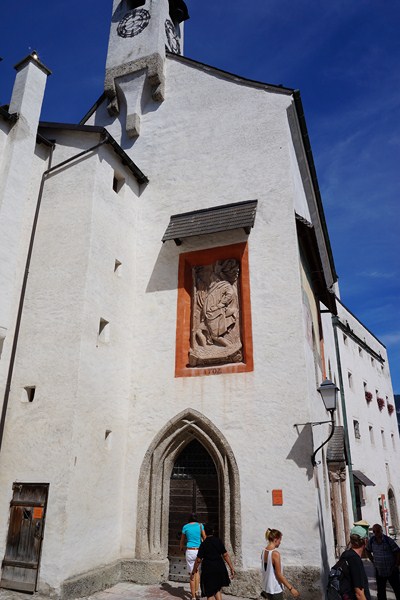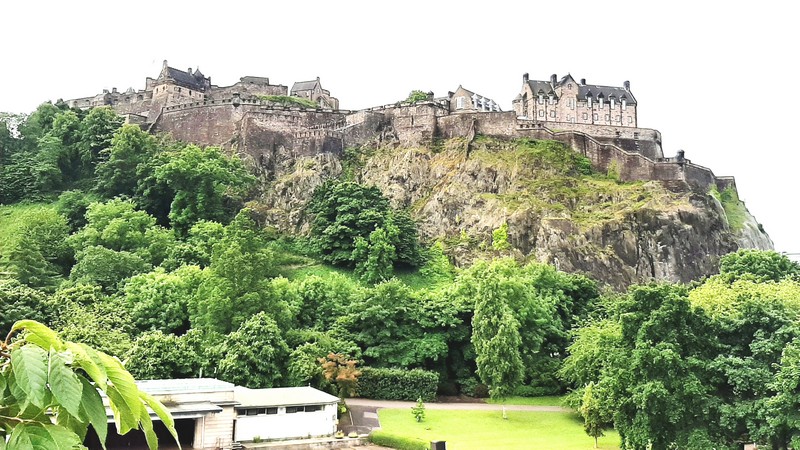
Edinburgh Castle
The historic Edinburgh Castle, which stands on the 130 m. (430 ft.) high Castle Rock (a crag formed from the plug of an extinct volcano, is located at the top of the Royal Mile, at the west end of Edinburgh’s Old Town. Occupied by humans during the late Bronze Age or early Iron Age, potentially making the Castle Rock the longest continuously occupied site in Scotland), it is a castle that has played a prominent role in Scottish history serving, variously, as a royal residence (until 1633), an arsenal, a treasury, a national archive, a mint, a prison, a military fortress, a military garrison (by the 17th century), and the home of the Honours of Scotland (the Scottish regalia).
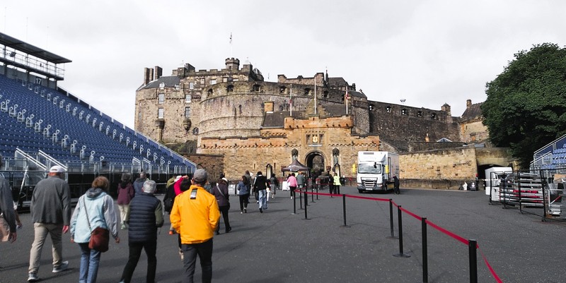
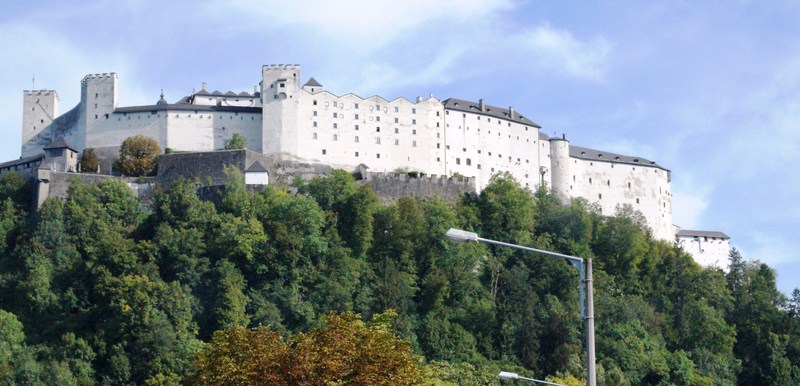
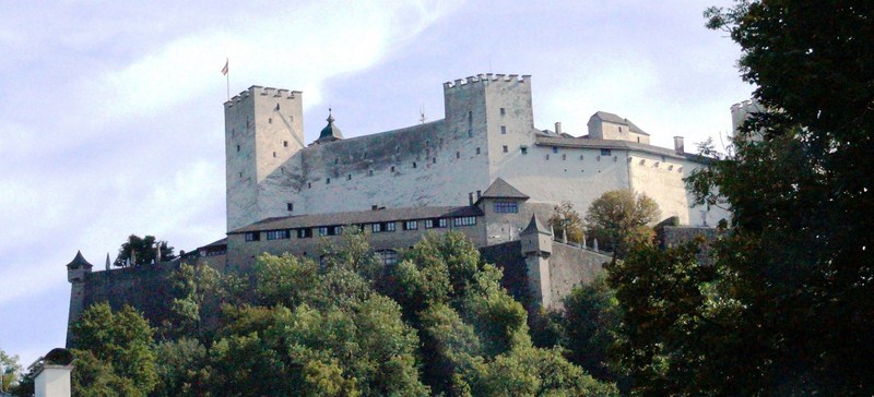
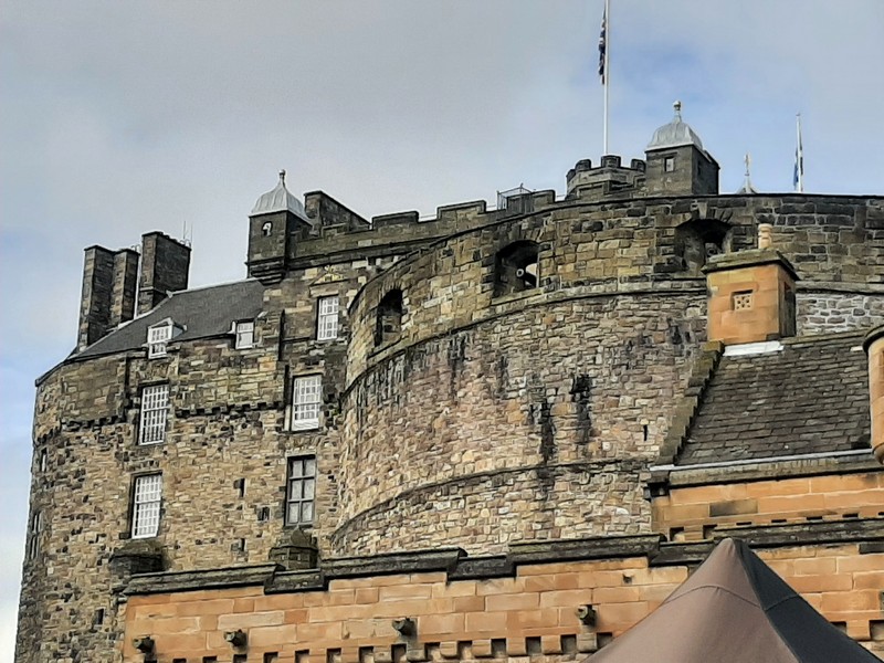
Castle seen from the Esplanade
Edinburgh Castle, one of the most important strongholds in the Kingdom of Scotland, was involved in many historical conflicts from the Wars of Scottish Independence in the 14th century to the Jacobite rising of 1745.
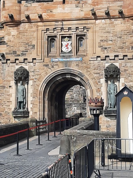
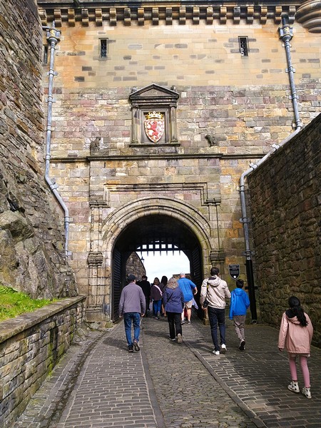
Main Gate. Above the gate is inscribed with the Latin motto Nemo me impune lacessit and, flanking it, are statues of Robert the Bruce and William Wallace, both added in 1929
Cared for by the Historic Environment Scotland, it is Scotland’s most (and the United Kingdom‘s second most) visited paid tourist attraction, with over 2.2 million visitors in 2019. Over 70% of leisure visitors to Edinburgh visit the castle. During the annual Edinburgh Festival, the castle, a recognizable symbol of Edinburgh in particular and of Scotland as a whole, is the backdrop to the Royal Edinburgh Military Tattoo, a parade of the massed pipes and drums of the Scottish regiments started in 1950.
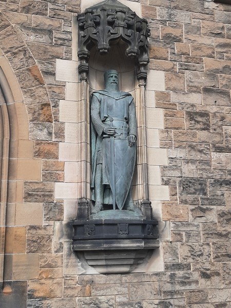
Statue of William Wallace (Alexander Carrick)
The castle is the site of the Scottish National War Memorial, the National War Museum and the regimental museums of the Royal Regiment of Scotland and the Royal Scots Dragoon Guards (the castle is their regimental headquarters), along with that of the Royal Scots. The British Army is still responsible for some parts of the castle, although its presence is now largely ceremonial and administrative. Over the past century and a half, various restoration programs have been carried out.
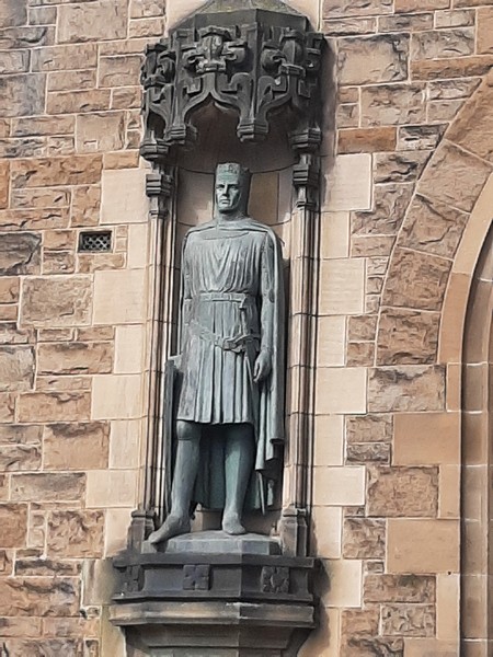
Statue of Robert the Bruce (Thomas Clapperton)
Edinburgh Castle, in the ownership of the Scottish Ministers as heads of the devolved Scottish Government, is run and administered, for the most part, by Historic Environment Scotland, an executive agency of the Scottish Government, while the Army still remains responsible for some areas, including the New Barracks block and the military museums. Both also share use of the Guardroom immediately inside the castle entrance.
The castle has become a recognizable symbol of Edinburgh, and of Scotland. It appears, in stylized form, on the coats-of-arms of the City of Edinburgh Council and the University of Edinburgh. Images of Edinburgh Castle are used, as a logo, by organizations including Edinburgh Rugby, the Edinburgh Evening News, Hibernian F.C. and the Edinburgh Marathon. It also appears on the “Castle series” of Royal Mail postage stamps. The castle is also a focal point for annual fireworks displays which mark Edinburgh’s Hogmanay (New Year) celebrations, and the end of the Edinburgh Festival in the summer.
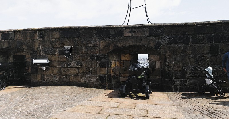
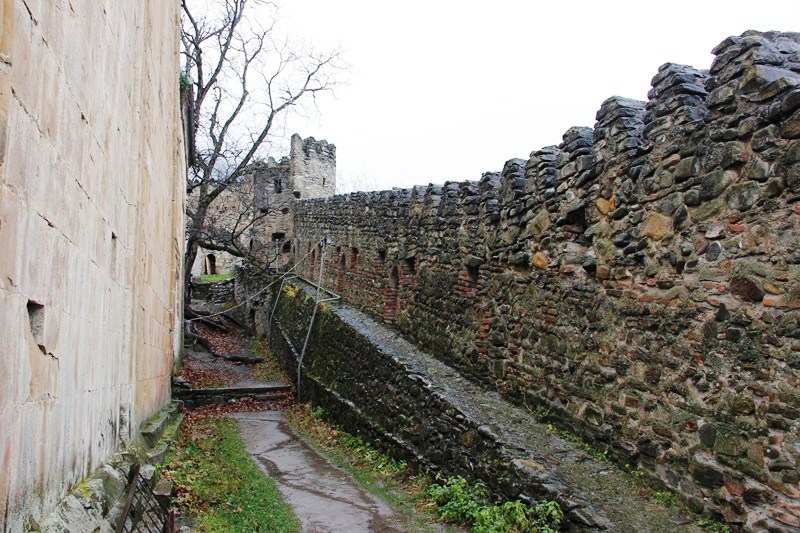
Forewall Battery
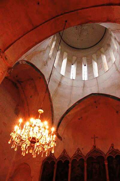
Few of the present buildings pre-date the Lang Siege of 1573 (in its 1,100-year history, it underwent 26 sieges, giving it a claim to having been “the most besieged place in Great Britain and one of the most attacked in the world”) when the medieval defenses were largely destroyed by artillery bombardment. The most notable exceptions are St Margaret’s Chapel (from the early 12th century, is regarded as the oldest building in Edinburgh), the Royal Palace, and the early 16th-century Great Hall.
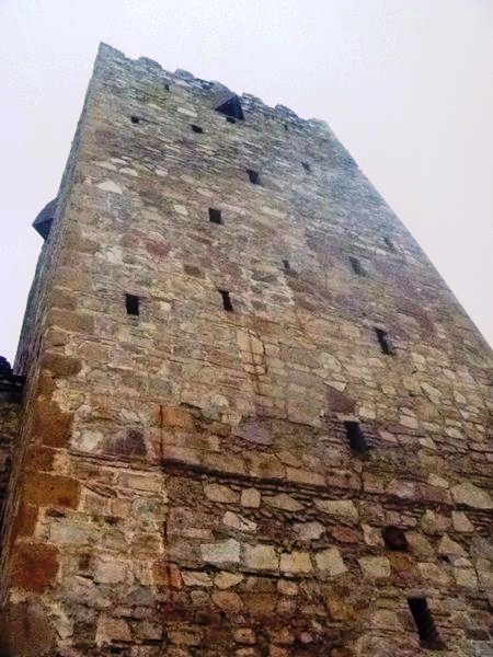
Argyle Tower
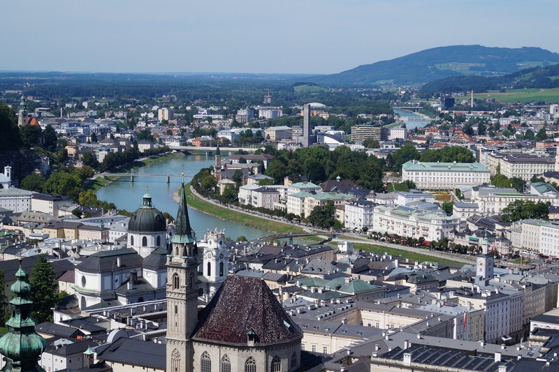
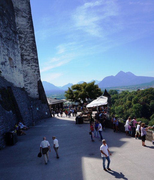
Before entering the castle, you first pass the Esplanade. long sloping forecourt in front of the castle. Originally the Spur, a 16th-century hornwork, was located here and, in 1753, was laid out as a parade ground (extended in 1845). The Edinburgh Military Tattoo (since 2010 the Royal Edinburgh Military Tattoo) takes place here, annually, in August, attracting an annual audience of around 217,000 people, and broadcasted, in some 30 countries, to a television audience estimated at 100 million.
The climax of the evening is the lone piper, on the castle battlements, playing a pibroch in memory of dead comrades-in-arms. This is followed by massed bands joining in a medley of traditional Scottish tunes. From the Esplanade the Half Moon Battery is prominent, with the Royal Palace to its left.
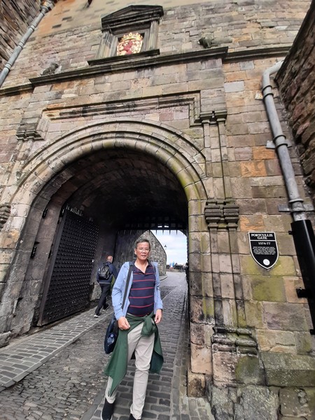
The author at Portcullis Gate
At the head of the Esplanade is the Gatehouse built as an architecturally cosmetic addition to the castle in 1888. Above the gate is inscribed with the Latin motto Nemo me impune lacessit and, flanking it, are statues of Robert the Bruce (by Thomas Clapperton) and William Wallace (by Alexander Carrick), both added in 1929. The dry ditch in front of the entrance was completed in its present form in 1742.

Argyle Battery
Within the Gatehouse are offices and, to the north, is the ticket office, the most recent addition to the castle, completed in 2008 to a design by Gareth Hoskins Architects. A road, built by James III in 1464 for the transport of cannon, leads upward and around to the north of the Half Moon Battery and the Forewall Battery, to the Portcullis Gate, begun by the Regent Morton after the Lang Siege of 1571–73 to replace the round Constable’s Tower destroyed during the siege. The Argyle Tower, a Scots Baronial tower at the upper part of the Gatehouse, was designed by the architect Hippolyte Blanc and built in 1886–1887.
Mills Mount Battery
Just inside the gate, overlooking Princes Street, is the Argyle Battery, with Mills Mount Battery (where the One O’Clock Gun is located), to the west. Below these is the Low Defense while, at the base of the rock, is the ruined Wellhouse Tower, built in 1362 to guard St. Margaret’s Well, a natural spring that provided an important secondary source of water for the castle (its water being lifted up by a crane mounted on a platform known as the Crane Bastion).
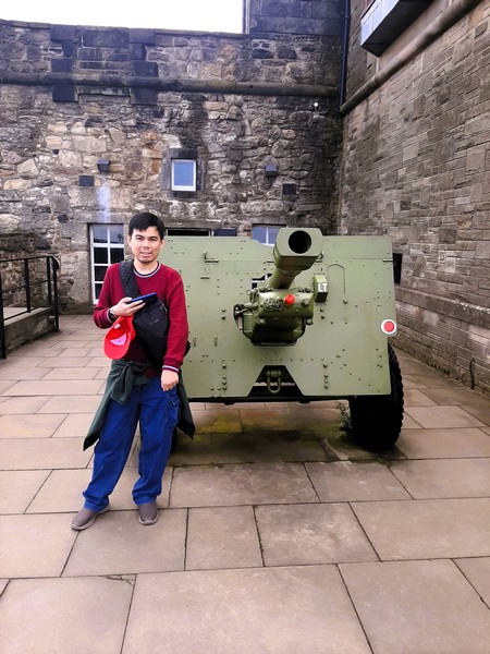
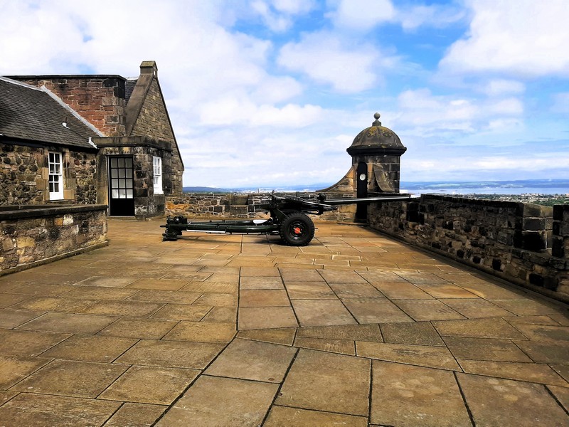
Jandy beside a 25-pounder howitzer
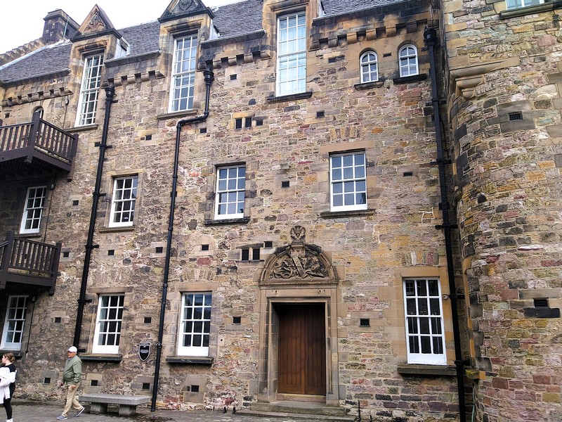
To the north and west of the Argyle Tower are military buildings erected, in the early 18th century, after the castle became a major garrison. Tea rooms, adjacent to Mills Mount, were originally 18th-century cart sheds. To the south is the Governor’s House which now functions as an officers’ mess, and as the office of the Governor since the restoration of the post in 1936.. Built in 1742 as accommodation for the Governor, Storekeeper, and Master Gunner, it was used until the post of Governor became vacant in the later 19th century. Later it was then used by nurses of the castle hospital.
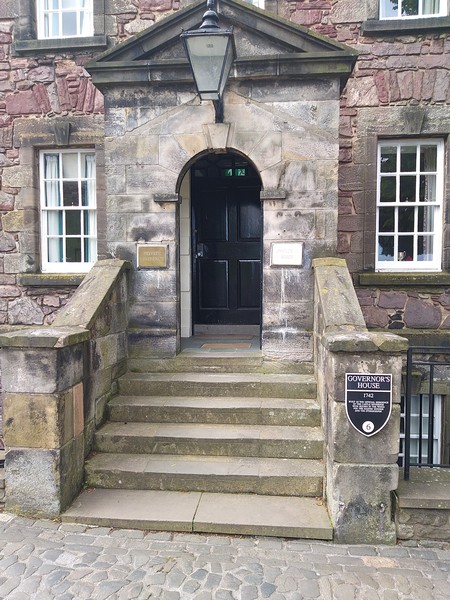
The Governor’s House
The New Barracks, south of the Governor’s House, was completed in 1799 to house 600 soldiers, replacing the outdated accommodation in the Great Hall. It now houses the Regimental Headquarters of the Royal Regiment of Scotland and the Regimental Headquarters of the Royal Scots Dragoon Guards (Carabiniers and Greys) as well as the Royal Scots Dragoon Guards Museum (opened in 1995 by, Queen Elizabeth II, the regiment’s Colonel). Nearby is the Regimental Museum of the Royal Scots (The Royal Regiment) in the former Royal Scots drill hall, constructed in 1900.
Check out “Regimental Museum of the Royal Scots (The Royal Regiment)”
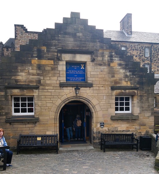
Regimental Museum of the Royal Scots (The Royal Regiment)
The military prison, built in 1842 as a detention block for the castle garrison, was extended in the 1880s and was last used in 1923, when the garrison moved to the city’s Redford Barracks. West of the Governor’s House is a store for munitions was built in 1747–48 and later extended to form a courtyard, in which the main gunpowder magazine also stood.
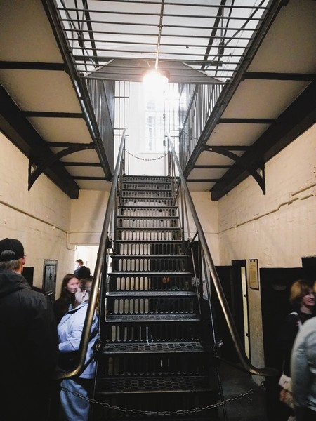
Military Prison
South of this courtyard is now the National War Museum of Scotland which covers Scotland’s military history over the past 400 years. Forming part of the National Museums of Scotland, its exhibits (including a wide range of military artefacts, such as uniforms, medals and weapons) also illustrates the history and causes behind the many wars in which Scottish soldiers have been involved.
Check out “National War Museum of Scotland”
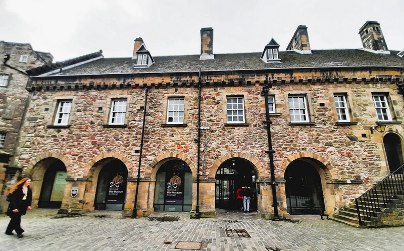
National War Museum Scotland
Beside the museum is Butts Battery, named after the archery butts (targets) formerly placed here and, below it, are the Western Defenses, where a postern, named the West Sally Port, gives access to the western slope of the rock.
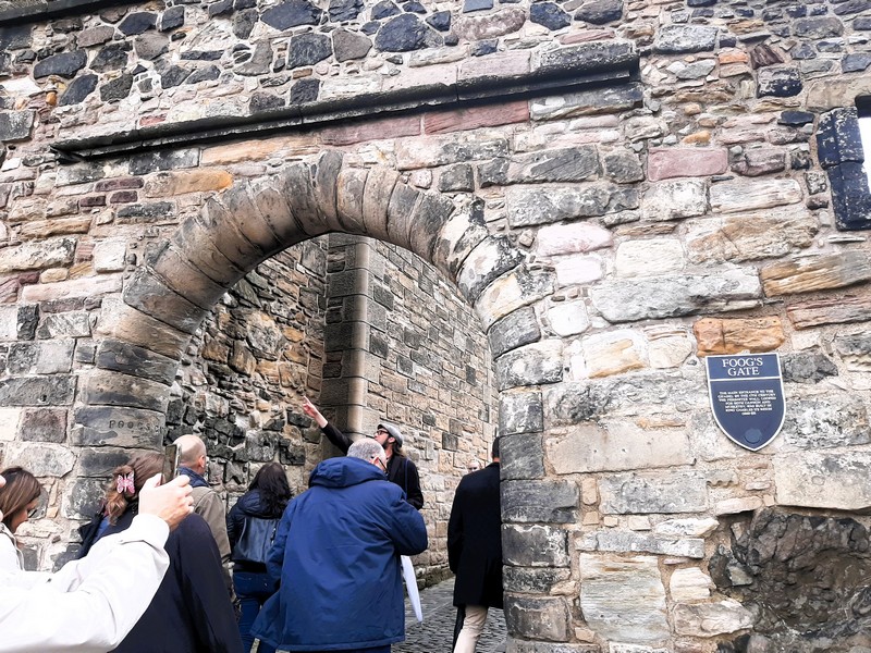
Foog’s Gate
The Upper Ward (or Citadel), occupying the highest part of the Castle Rock, is entered via the late 17th-century Foog’s Gate. Large cisterns, built to reduce the castle’s dependency on well water, and a former fire station (now used as a shop), are both adjacent to the gates.
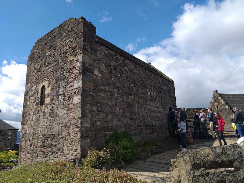
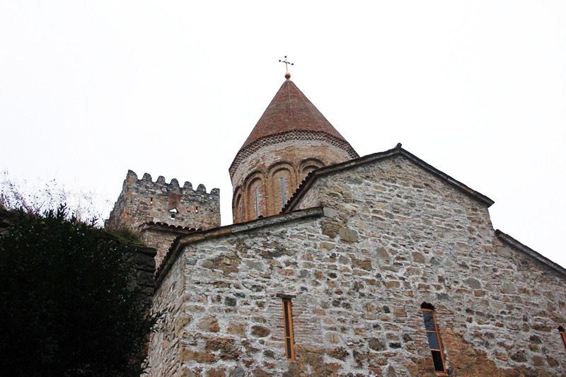
St. Margaret’s Chapel
The small St. Margaret’s Chapel and Mons Meg, 15th-century siege gun or bombard, occupy the summit of the rock. The oldest building in the castle and in Edinburgh, St. Margaret’s Chapel is one of the few 12th-century structures surviving in any Scottish castle. It dates from the reign (1124–1153) of King David I who built it as a private chapel, dedicated to Saint Margaret of Scotland, his mother, who died in the castle in 1093) for the royal family.

Interior of St. Margaret’s Chapel
It survived the slighting of 1314 (when the castle’s defenses were destroyed on the orders of Robert the Bruce) and, from the 16th century, was used as a gunpowder store when the present roof was built. In 1845, while in use as part of the larger garrison chapel, it was “discovered” by the antiquary Daniel Wilson and, in 1851–1852, was restored and still used for religious ceremonies such as weddings.
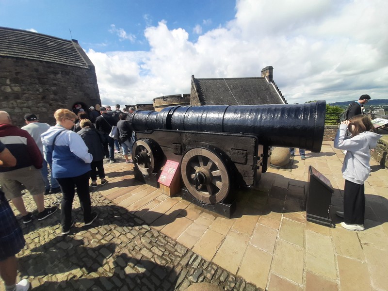
Mons Meg
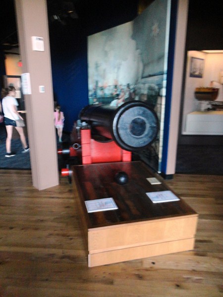
In front of St. Margaret’s Chapel, resting on a reconstructed carriage (details copied from an old stone relief that can be seen inside the tunnel of the Gatehouse at the castle entrance) and displayed on a terrace, is the 13,000-pound (5.9-ton) gun Mons Meg, constructed in 1449 in Flanders, on the orders of Philip III, Duke of Burgundy, and given, as a gift, to King James II (the husband of his niece), in 1457. Displayed alongside it are some of Meg’s large gun stones, weighing around 330 lbs. (150 kgs.) each.

Meg’s large gun stones
On July 3, 1558, when it was fired, in salute, to celebrate the marriage of Mary, Queen of Scots, to François II, the French dauphin. It has been defunct since On October 30, 1681 when the gun barrel burst while firing a salute to greet the Duke of Albany (the future King James VII and II) on his arrival in Edinburgh..
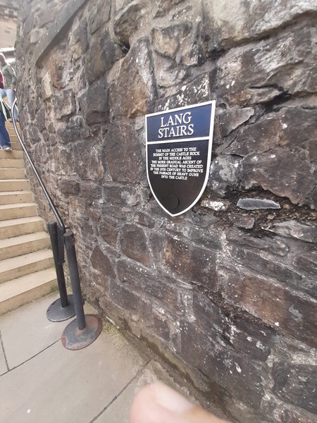
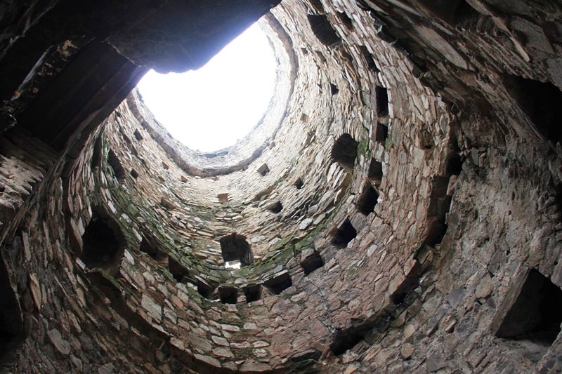
Lang Stairs
Below this area, on a ledge, is a small 19th-century Dogs’ Cemetery for the burial of the soldiers’ regimental mascots. Besides this is the Lang Stair that leads down to the Argyle Battery, past a section of a medieval bastion, and gives access to the upper storey of the Argyle Tower. The Forewall and Half Moon Batteries occupy the eastern end of the Upper Ward, with Crown Square to the south.
Half Moon Battery
The Half Moon Battery, a prominent feature on the east side of the castle, was built around and over the ruins of David’s Tower, two storeys of which survive beneath, with windows facing out onto the interior wall of the battery. It was erected between 1573 and 1588 and built as part of the reconstruction works supervised by the Regent Morton. The Forewall, to the north, was built between 1689 and 1695 to link the Half Moon to the Portcullis Tower, although part of the original wall of 1540 was incorporated into it.
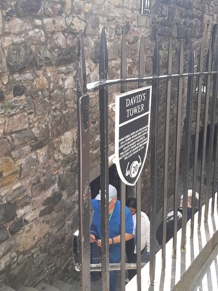
David’s Tower
David’s Tower was rediscovered, in 1912, during routine maintenance work and excavations below the Half Moon Battery revealed the extent of the surviving buildings. Built on an L-plan, it has a 16 by 12 m. (51 by 38 ft.) main block, with a 6.4 by 5.5 m. (21 by 18 ft.) wing to the west. It is entered via a pointed-arched doorway in the inner angle although, in the 16th century, this was filled in to make the tower a solid rectangle. Although the lower parts are generally closed, several rooms were accessible to the public.
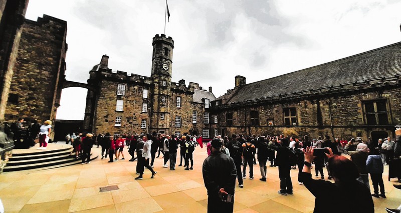
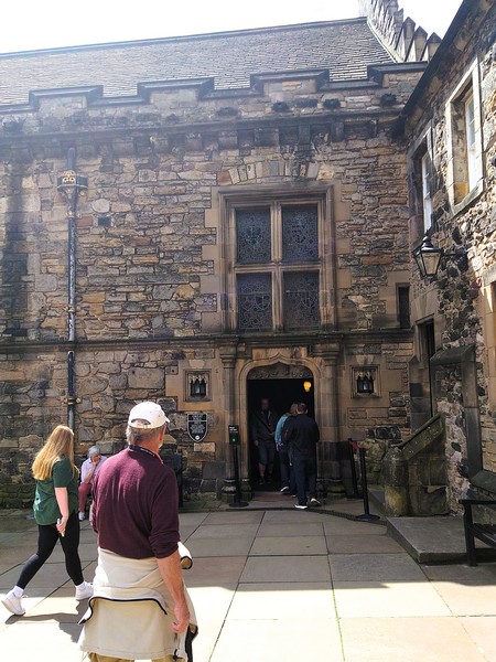
Crown Square
Crown Square (also known as Palace Yard), laid out in the 15th century (during the reign of King James III) as the principal courtyard of the castle, is formed by the Royal Palace to the east, the Great Hall to the south, the Queen Anne Building to the west, and the National War Memorial to the north.
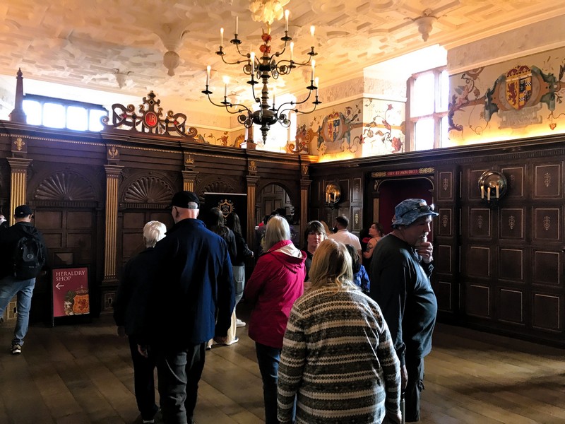
Laich Hall at the Royal palace
The Royal Palace, comprising the former royal apartments (the residence of the later Stewart monarchs), was begun in the mid-15th century (during the reign of James IV) and was extensively remodeled, in 1617, for the visit of James VI to the castle, when state apartments for the King and Queen were built. On the ground floor is the Laich (Low) Hall (now called the King’s Dining Room) and the Birth Chamber (or Mary Room), a small room where, on June 19, 1566, James VI was born to Mary, Queen of Scots. The commemorative painted ceiling, and other decorations, were added in 1617.
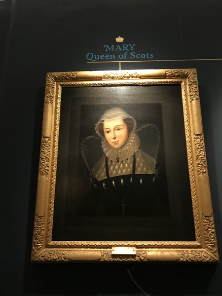
Portrait of Mary Queen of Scots at the Birth Chamber
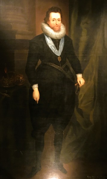
Portrait of King James VI
The vaulted Crown Room, on the first floor, was built in 1615 to house the Honours of Scotland: the crown, the scepter and the sword of state. Since its return to Scotland in 1996, the Stone of Scone, where the monarchs of Scotland were traditionally crowned, has been kept in the Crown Room. The Register House, to the south of the palace, was built in the 1540s to accommodate state archives.
The Great Hall
The 29 by 12.5 m. (95 by 41 ft.) Great Hall, the chief place of state assembly in the castle (although there is no evidence that the Parliament of Scotland ever met there), is usually ascribed to the reign of King James IV, and is thought to have been completed in the early years of the 16th century.
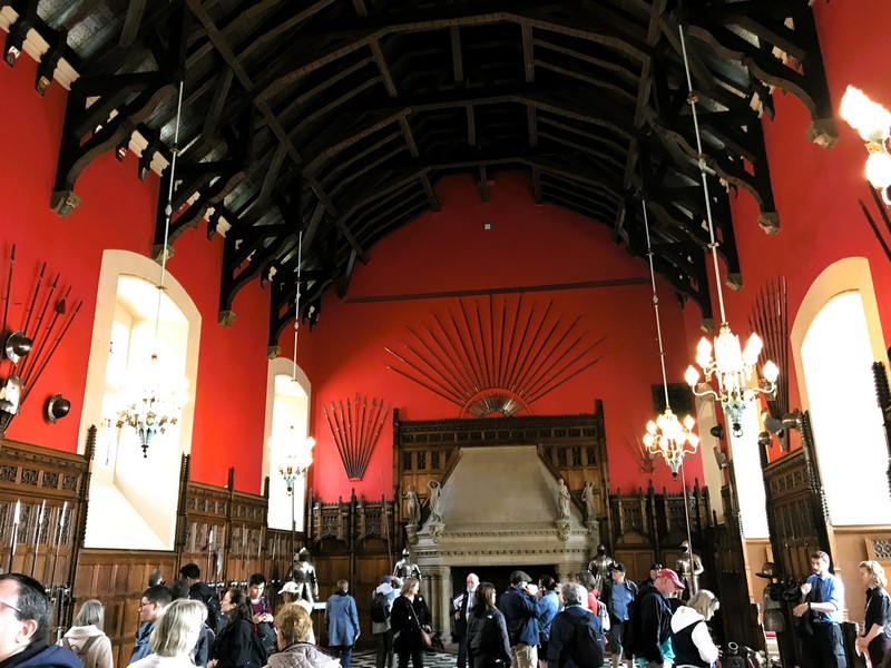
Hammerbeam ceiling inside the Great Hall
One of only two medieval halls in Scotland with an original hammerbeam roof, it has decorative, carved stone corbels, supporting the roof, with Renaissance detailing which has been compared to ca. 1515 works at Blois, France, indicating that the arts in Scotland were relatively advanced at this time. Still occasionally used for ceremonial occasions, the Great Hall has been used as a venue on Hogmanay for BBC Scotland‘s Hogmanay Live program.
Queen Anne Building
The present Queen Anne Building, on the south side of the castle, was named after Queen Anne. It was built in 1713 and designed by Capt. Theodore Dury, military engineer for Scotland (he also designed Dury’s Battery, named in his honor).

Dury’s Battery
It initially provided accommodation for Staff Officers but, after the departure of the Army, it was remodeled to complement the newly opened Scottish National War Memorial) as the Naval and Military Museum in the 1920s. Today, the building now houses a function suite and an education center.
Scottish National War Memorial
The Scottish National War Memorial, occupying a converted barrack block on the north side of Crown Square, is maintained by a charitable trust. It commemorates Scottish soldiers, and those serving with Scottish regiments, who died in the two world wars and in more recent conflicts. The building, its exterior decorated with gargoyles and sculpture, has an interior that contains monuments, to individual regiments, and stained-glass windows by Douglas Strachan.
Check out “Scottish National War Memorial”
Within the Shrine is an altar, placed upon the highest point of the Castle Rock, with a sealed casket containing Rolls of Honor which lists over 147,000 names of those soldiers killed in World War I, plus 50,000 names from World War II. Further names continue to be added to the Rolls of Honor.
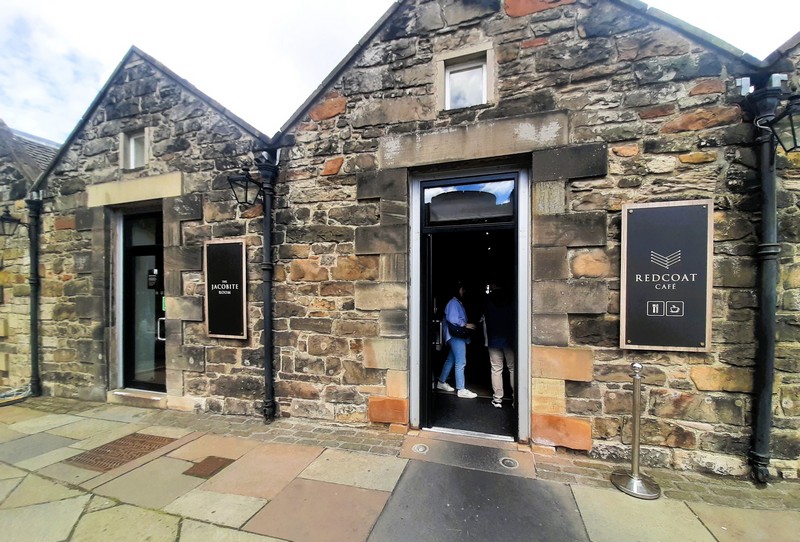
Redcoat Cafe
At precisely 1 PM (except Sundays, Good Friday and Christmas Day), the One O’Clock Gun is fired, every day, from Mill’s Mount Battery (formerly from the Half Moon Battery), on the north face of the castle, by the District Gunner from the 105th Regiment Royal Artillery. Established in 1861 as a time signal for ships in the harbor of Leith and the Firth of Forth, 3 kms. (2 mi.) away, the gun is no longer required for its original purpose but the ceremony has become a popular tourist attraction.

The One O’Clock Gun
Its original gun was an 18-pound muzzle-loading cannon (which needed four men to load). In 1913, it was replaced by a 32-pound breech-loader and, in May 1952, by a 25-pound Howitzer. On November 30, 2001, the present One O’Clock Gun, an L118 Light Gun, was brought into service. A small exhibition, at Mill’s Mount, was established by the One O’Clock Gun Association and Staff Sergeant Thomas McKay MBE (nicknamed “Tam the Gun“), the longest-serving District Gunner (from 1979 until his retirement in January 2005).
Hospital
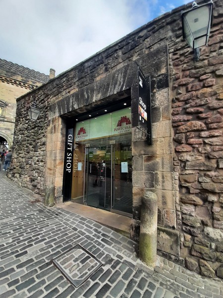
Gift Shop
Edinburgh Castle: Castle Rock, Edinburgh, EH1 2NG Scotland. Tel: +44 131 225 9846. Website: www.edinburghcastle.scot. Open daily, 9:30 AM to 6 PM (April to September) and 10 AM to 4 PM (October to March). Closed December 25 and 26. Admission:
- Adult (16-64 years old): £21.50 (online), £24.00 (walk-up)
- Concession (65 years+ and unemployed): £17.00 (online), £19.00 (walk-up)
- Child (7-15 years old): £13.00 (online), £14.50 (walk-up)
- Adult Flexi Ticket: £35.00 (online)
- Concession Flexi Ticket: £28.00 (online)
- Child Flexi Ticket: £21.00 (online)
- Family (1 adult, 2 children): £42.50 (online), £47.50 (walk-up)
- Family (2 adults, 2 children): £62.00 (online), £69.50 (walk-up)
- Family (2 adults, 3 children): £74.00 (online), £82.00 (walk-up)