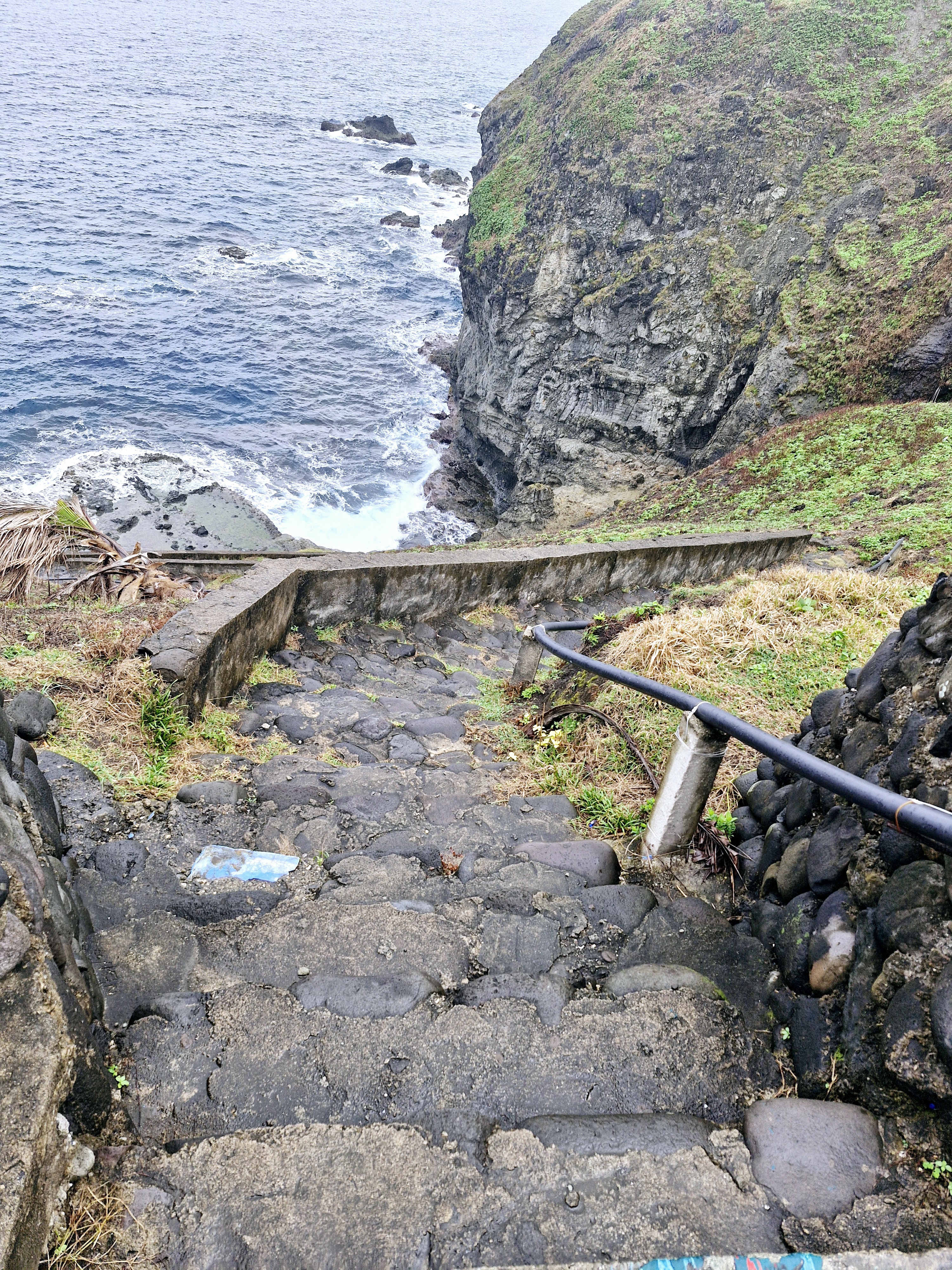
From Maydangeb White Beach, we again boarded our van and continued on our way, traveling the remaining 2.4 kms. (a 5-min. drive), to Mahatao town proper, and making a stopover at the town’s Spanish-era Church of St. Charles Borromeo.
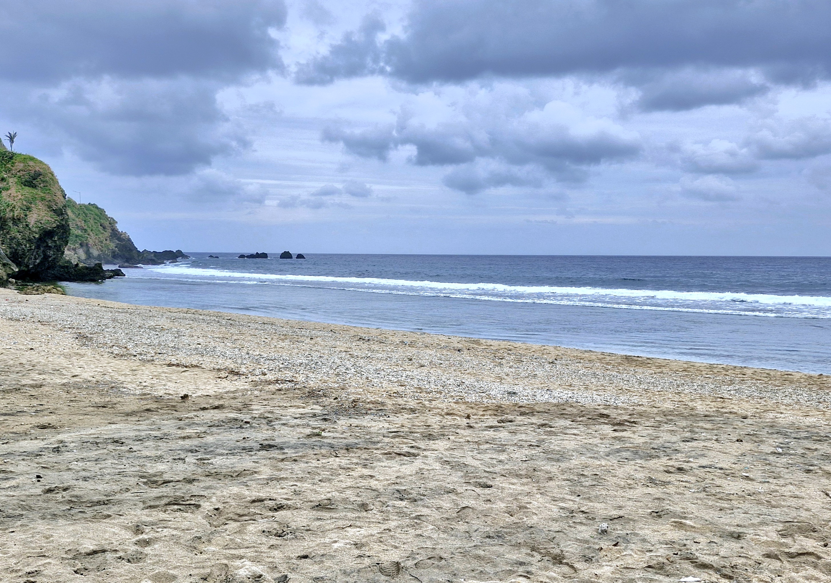
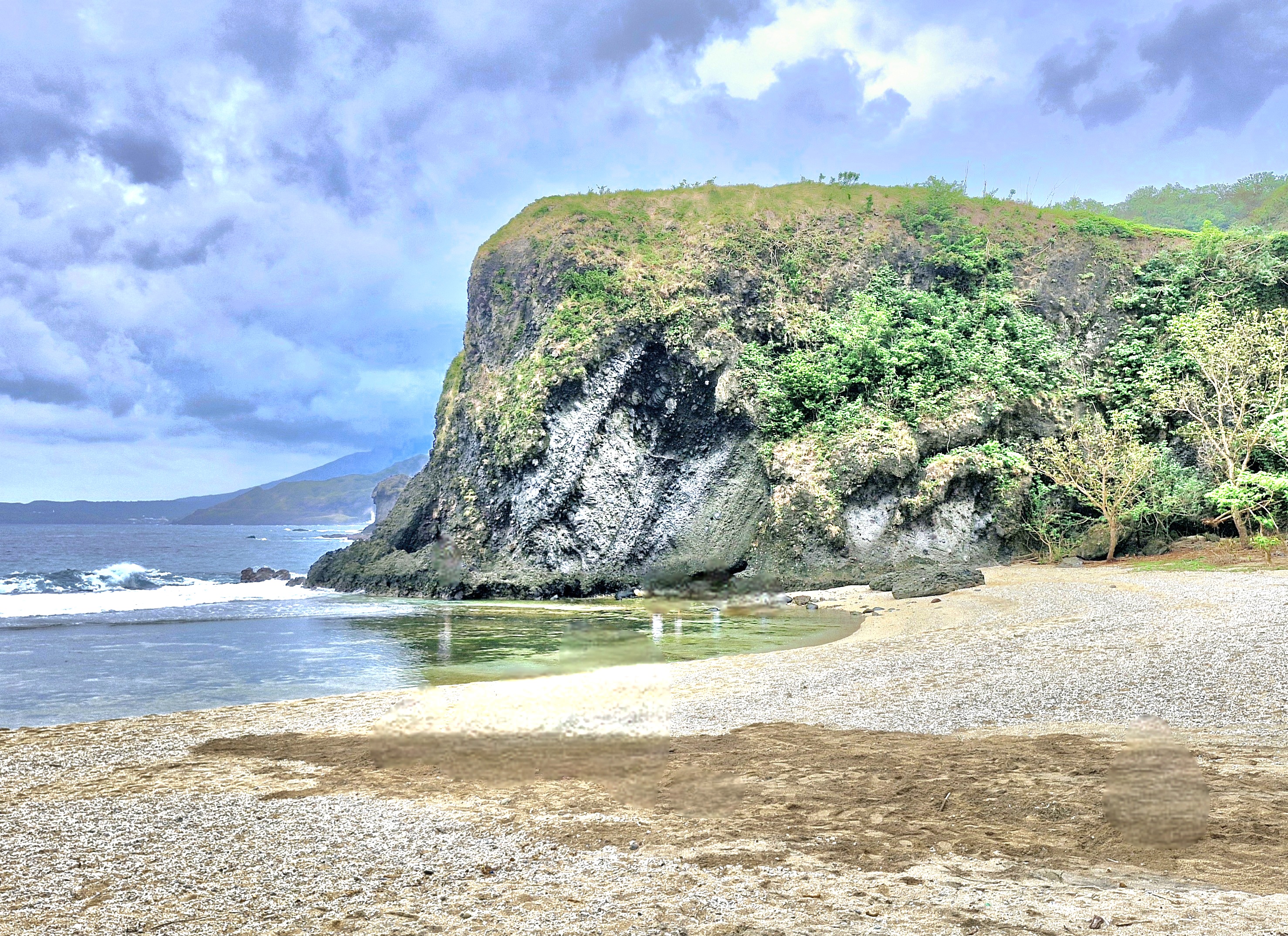
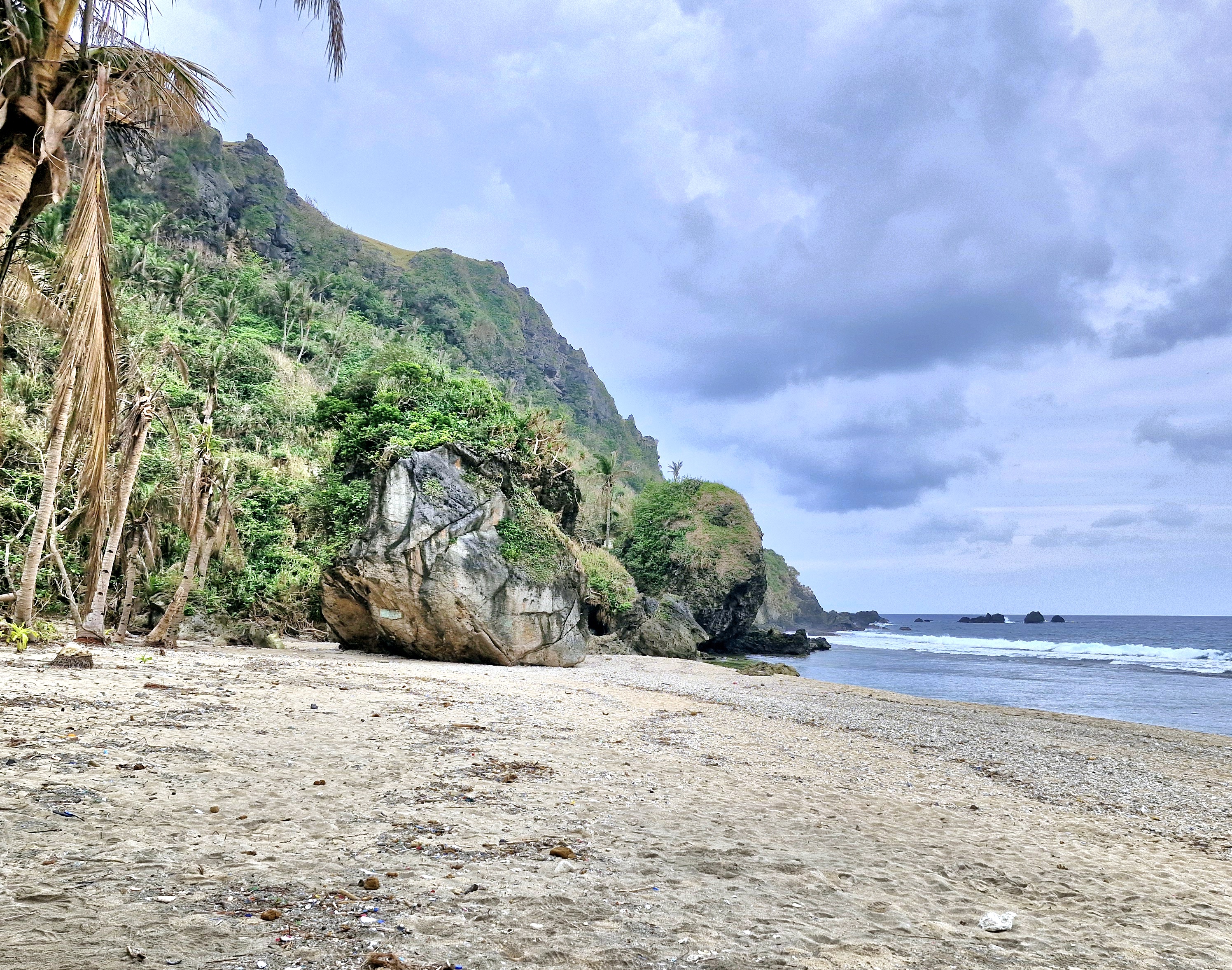
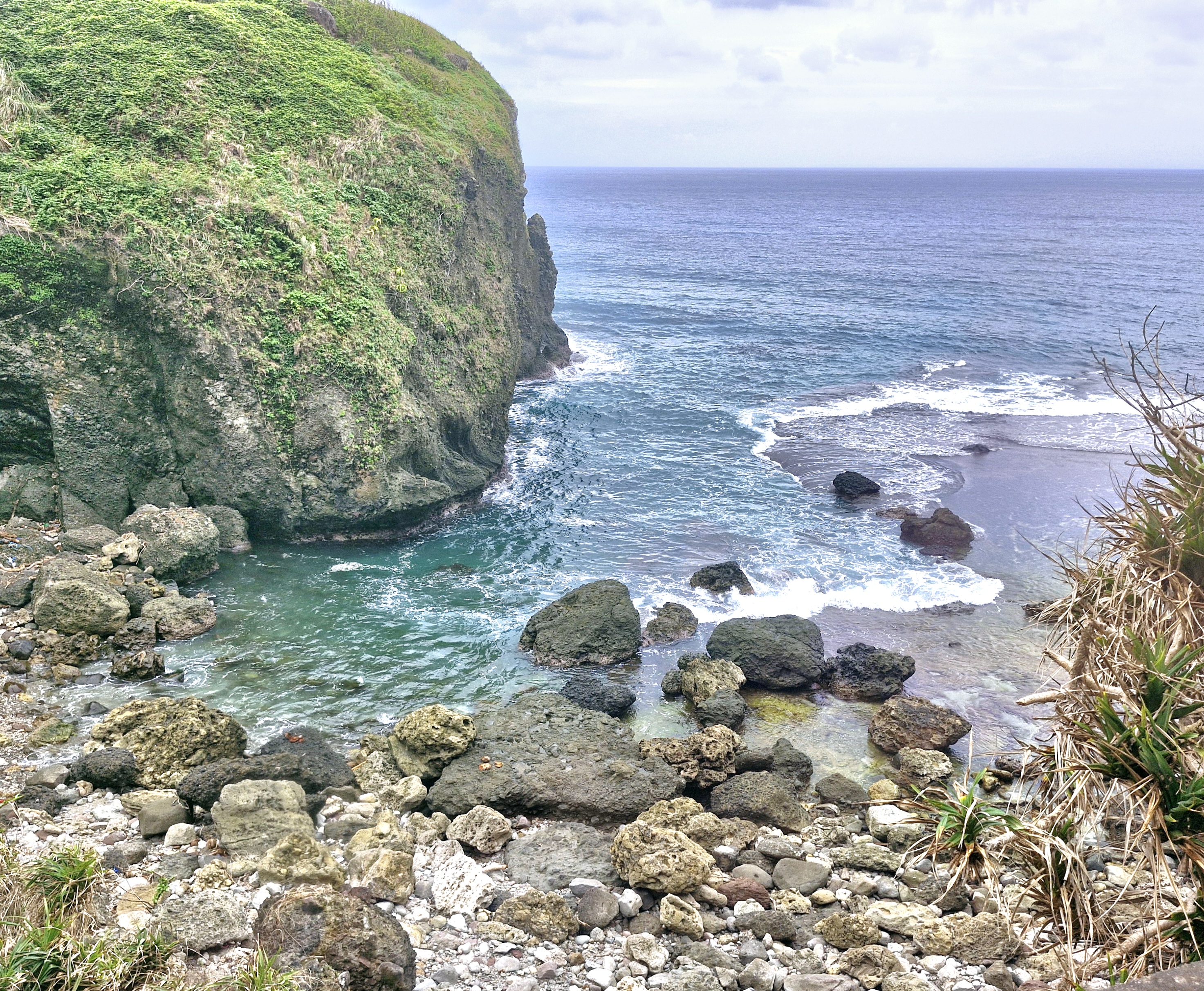
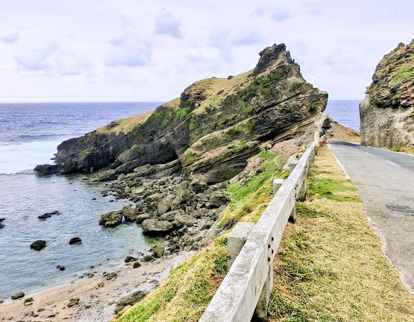
Check out “Maydangeb White Beach”
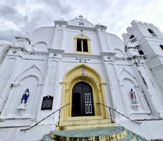
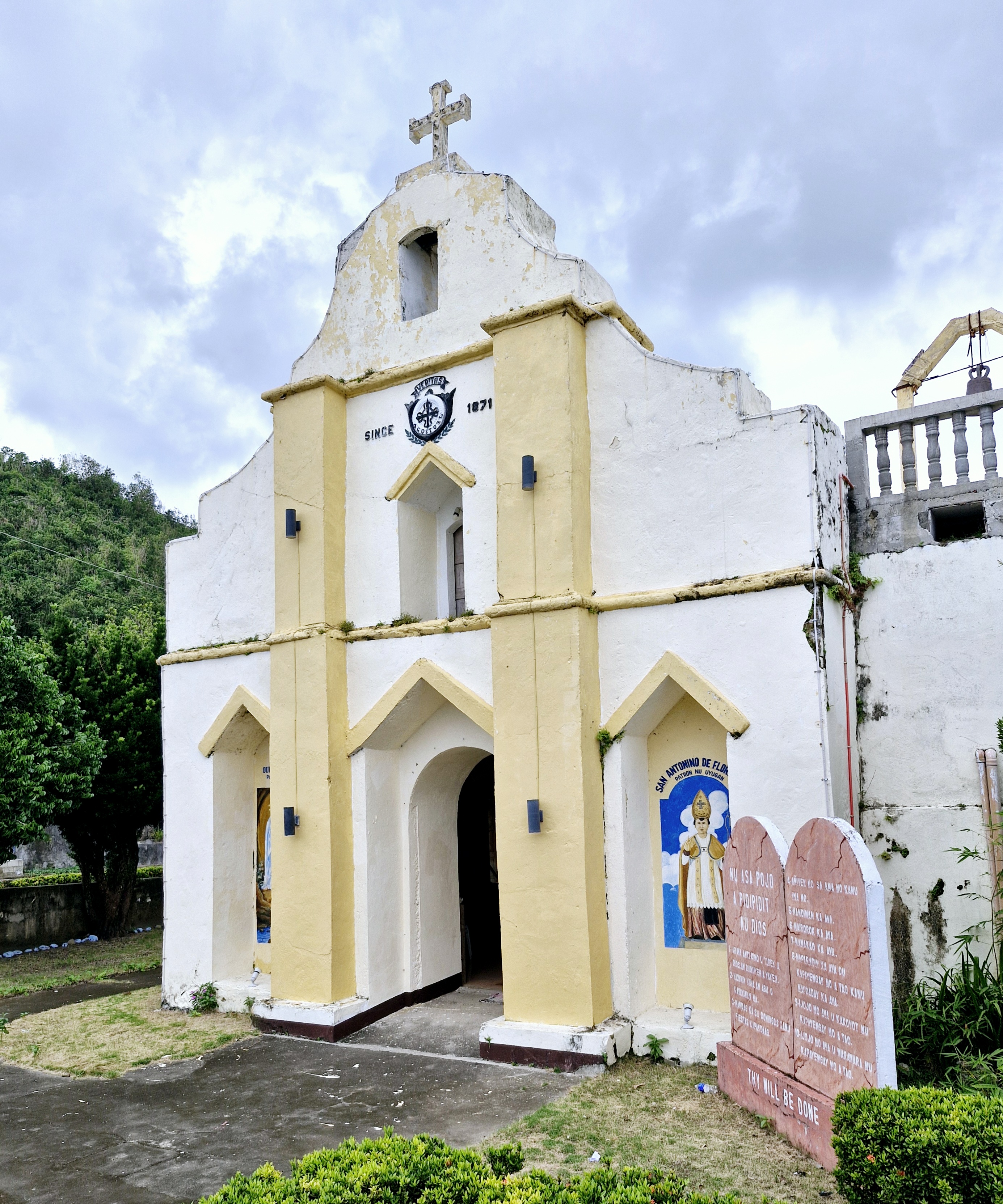
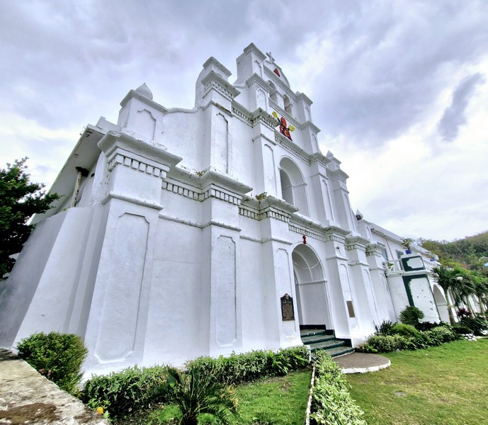
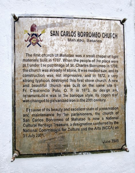
The first church, made with light material and completed by Dominican friars in 1789, was destroyed by a strong typhoon in 1872 and the present structure was rebuilt, with stone and lime, in 1873 by Father Crescencio Polo, OP (who also remodeled the stone and mortar convent attached to the church). On September 19, 1898, during the Philippine Revolution, the flag of the Katipunan was raised in the campanille and the church was ransacked (the original gold Episcopal crosier of the image of San Carlos as well as the gold jewelry pieces of the Lady of the Rosary and the Santo Niño were stolen).
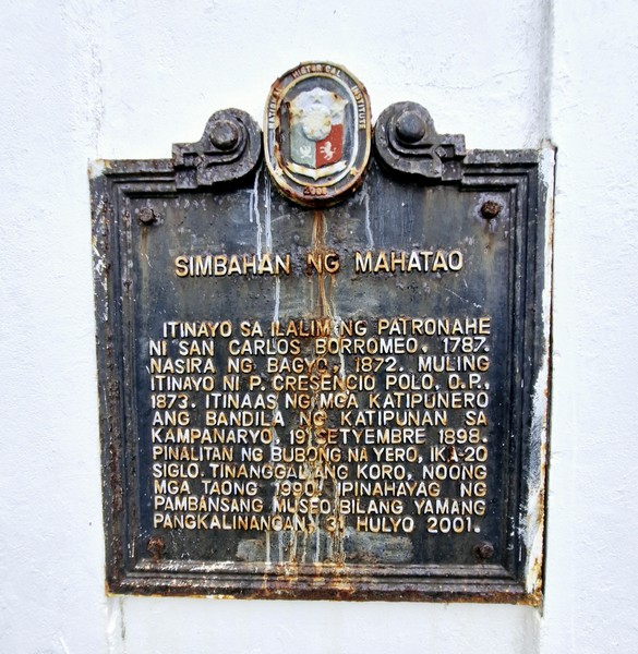
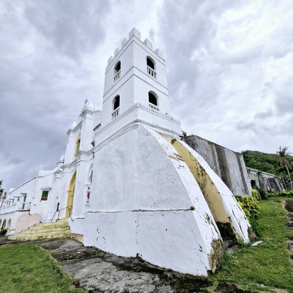
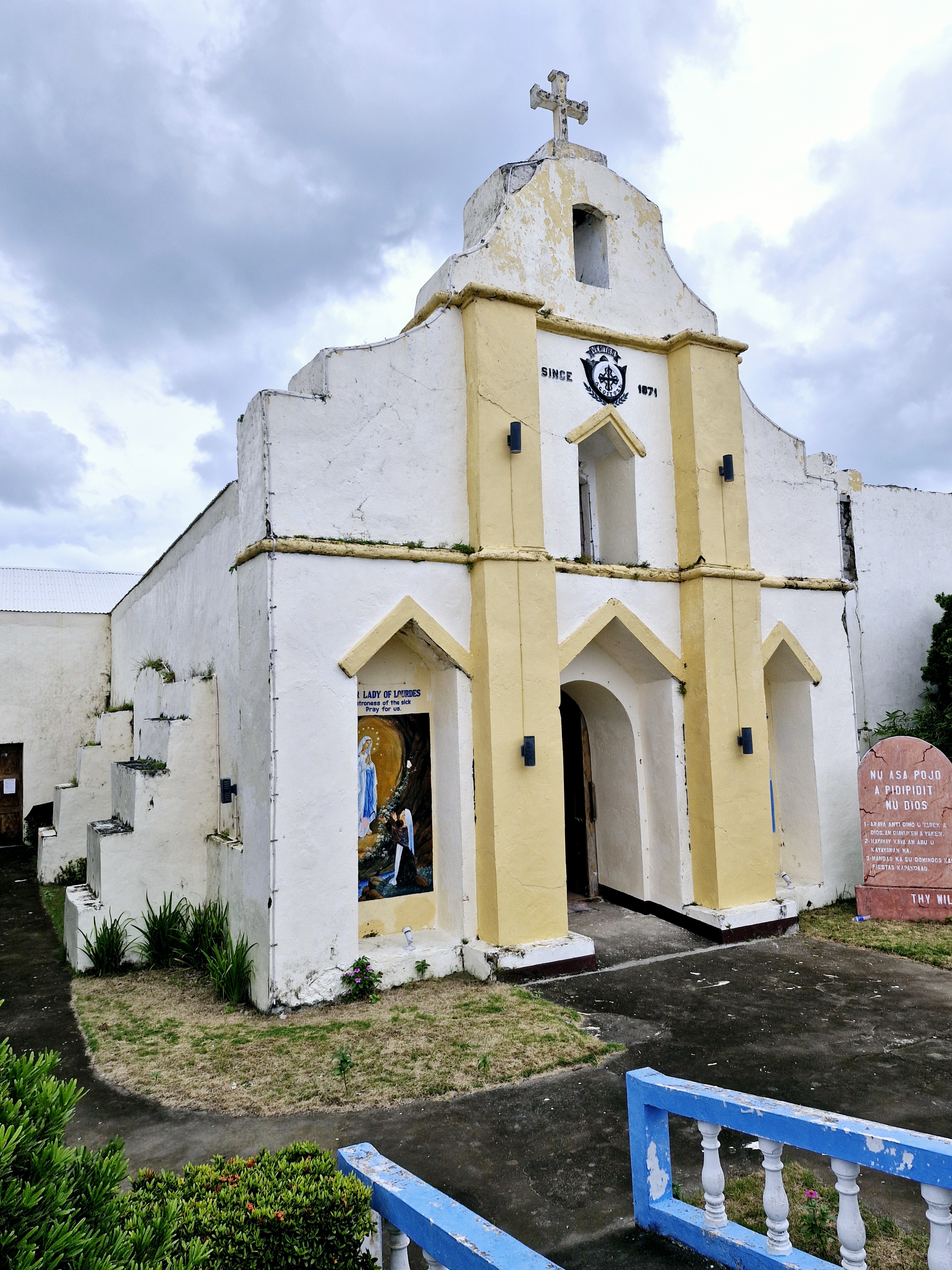
In the 20th century, the cogon roof was replaced with galvanized iron and, sometime in 1990, the choir was removed. On July 31, 2001, the church was declared as a National Cultural Treasure by the National Museum of the Philippines.
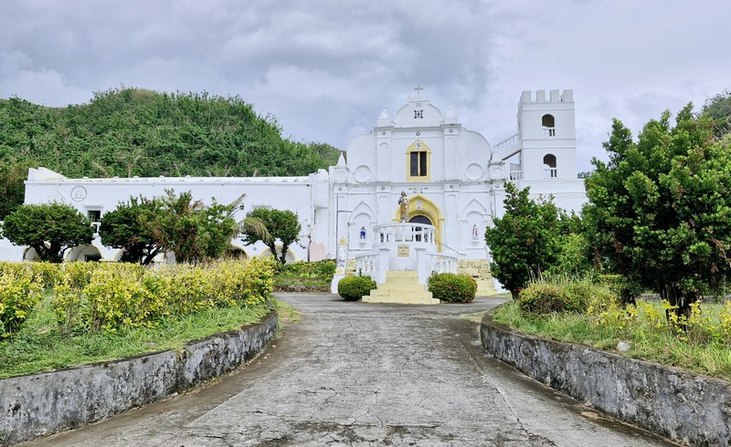
It has an espadaña-style façade similar to Basco Cathedral and the Church of St. Vincent Ferrer in Sabtang, with two round arches at roof levels for the bells (one of which is dated 1874). The outer walls have uneven wall thicknesses due to the addition of massive step buttresses that serve as stairways for servicing its then cogon-covered roof.
Check out “Cathedral of the Immaculate Conception” and “Church of St. Vincent Ferrer”
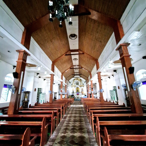
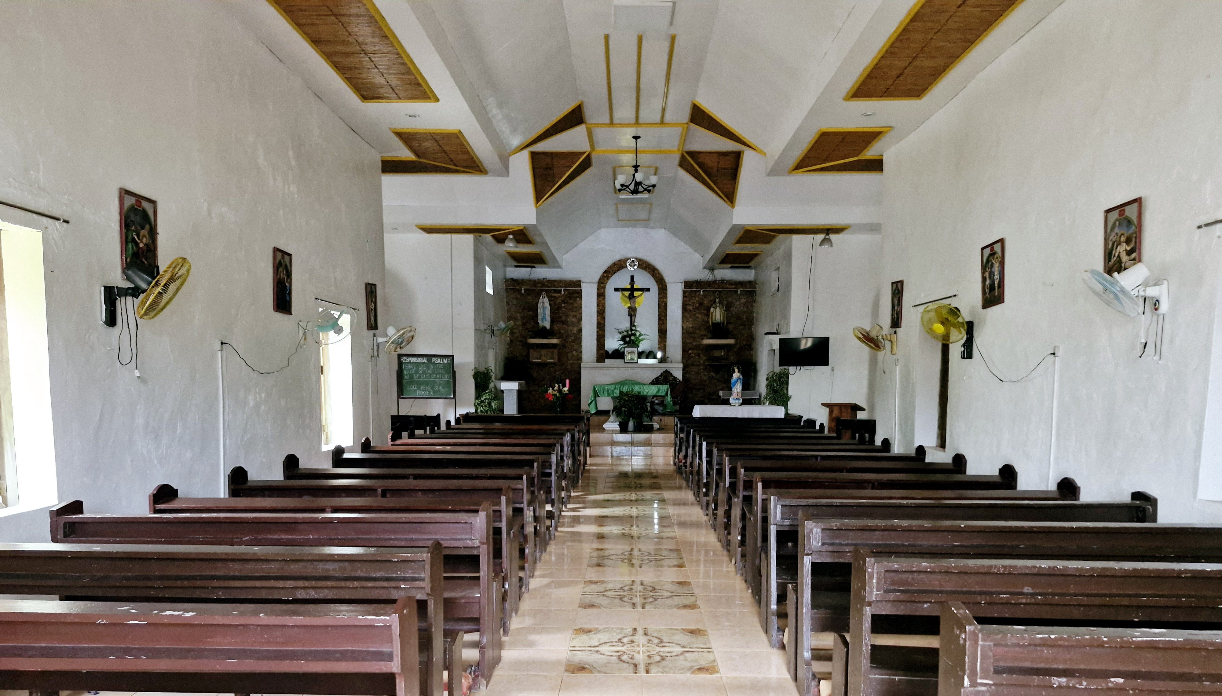
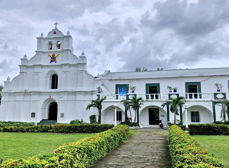
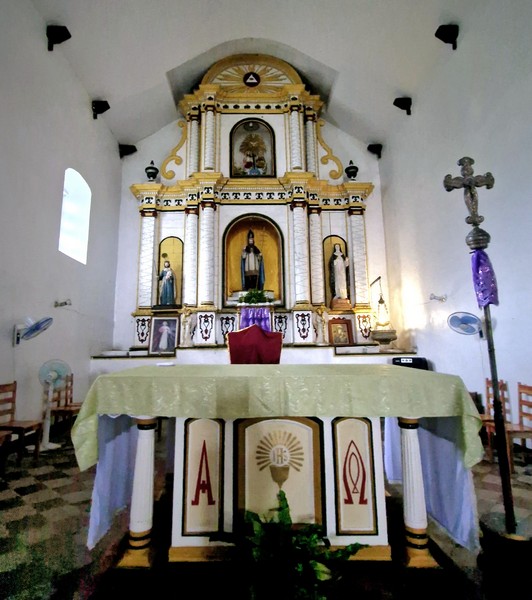
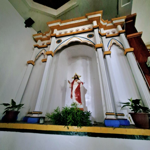
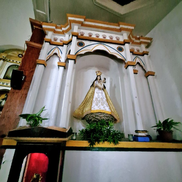
The church’s Baroque style interiors showcases floral designs with sunburst ornaments painted in polychrome and gilt, lending a golden glow among the statuary. On the center of the main retablo is the statue of St. Charles Borromeo (the patron saint) surrounded by statues of St. Joseph, St. Dominic de Guzman and St. Rose of Lima. Two side altars house the statue of the Our Lady of the Rosary, on the right, and of the Holy Child on the left.
The second floor of the church convent, on the right side of the façade, is not the typical volada (cantilevered gallery) for convents in the Philippines but an open extended deck. At the back of the convent are remains of an old circular well.
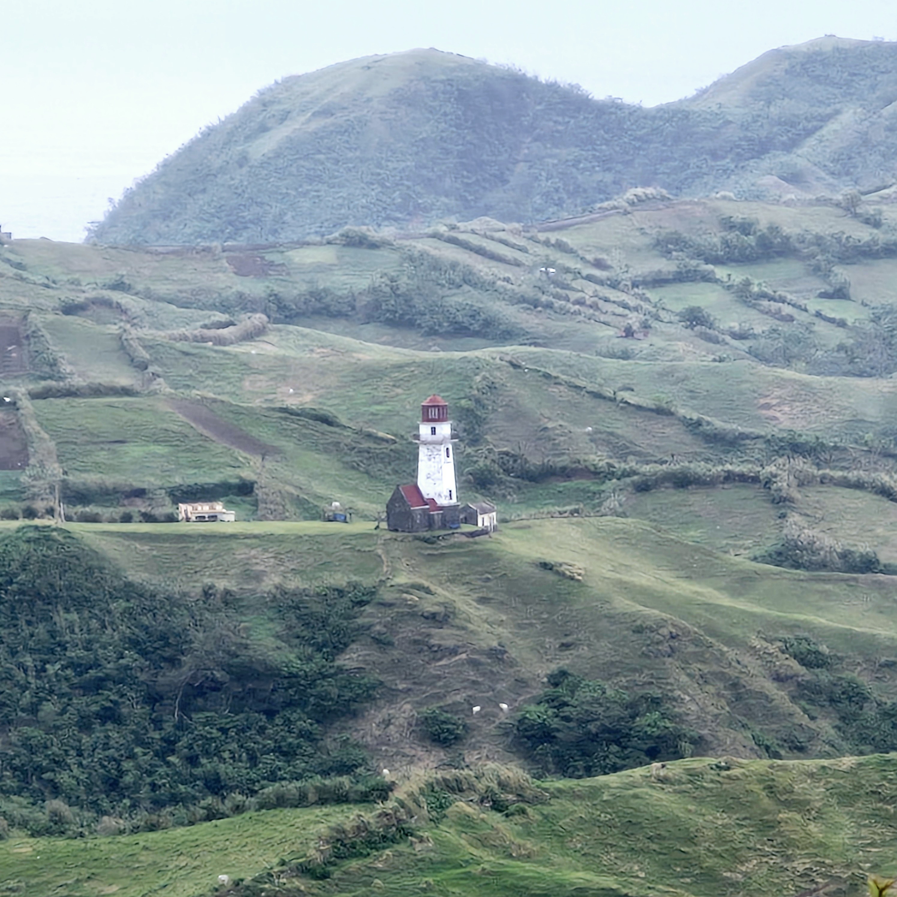
Within the church’s courtyard is a stone structure that once housed the beatario. Elsewhere in the courtyard and the elementary school are Spanish-era stone lampposts said to have been used as guiding lights to guide fishermen and early mariners safely to the anchorage just beyond the town’s seaport.
Church of St. Charles Borromeo: National Road, Brgy. Uvoy (Poblacion), Mahatao, 3901 Batanes. Mobile number: (0921) 766-2282. Feast of St. Charles Borromeo: November 4.
How to Get There: Mahatao is located 13.4 kms. (a 30-min. drive) south of Basco.
Provincial Heritage and Tourism Office (PHTO): Mobile number: (0929) 230-5934. Website: www.breathtakingbatanes.com.