Emerald Pond (Jasper, Alberta)

Emerald Pond

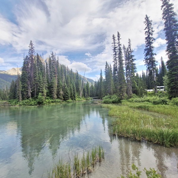
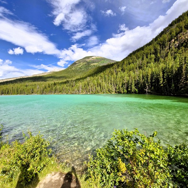
From the Cold Sulfur Spring, a short, narrow dirt path lead us to Emerald Pond, a stunning freshwater lake nestled in the heart of Yoho National Park.  This tiny, crystal-clear roadside stop had a vibrant bright green emerald color, plus towering trees, lush greenery and a breathtaking mountain backdrop, offering picturesque views and opportunities for photography that made it an enchanting destination for outdoor enthusiasts.

Check out “Cold Sulfur Spring”

As we arrived mid-summer, when warm air temperatures brought out high levels of insect activity around the water’s edge, we spotted intricate, beautiful and striking iridescent blue dragonflies, with perfect little wings and alien-like heads, darting above the vibrant water and among the slender, green branches of red huckleberry (Vaccinium parvifolium) plants.
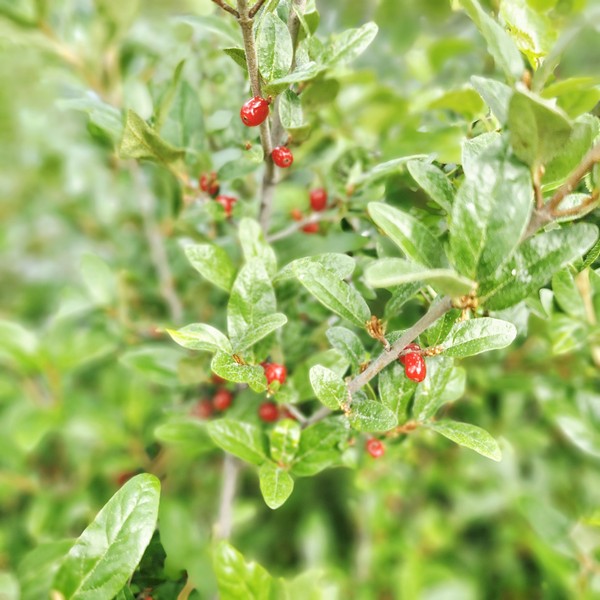
Red Huckleberry (Vaccinium parvifolium)

Strictly a quick scenic viewpoint, there are no trash cans, picnic tables, or benches here. As it sits right off the highway, it makes it a fast and easy place to pull over for photos of the water and mountain reflections. For hikers, picturesque hiking trails wind around the lake, offering panoramic views and opportunities to spot wildlife. You can also explore, via canoe, on the crystal-clear waters or just take a leisurely stroll along the shoreline to soak in the beauty of this scenic hidden gem.
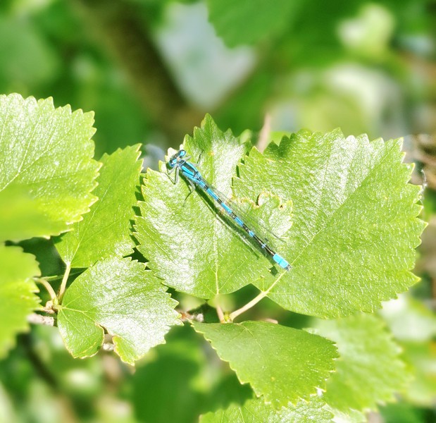
Blue dragonflies

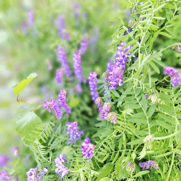
The pond, fed by underground, mineral-rich thermal springs, is also a great spot for swimming, fishing, and snorkeling. However, camping and fires are not permitted at Emerald Pond. The best time to visit is during the summer months (the time we visited) when the water is warm and the foliage is at its peak, with summer displays of pink fireweed, violet asters and wild blue lupines.
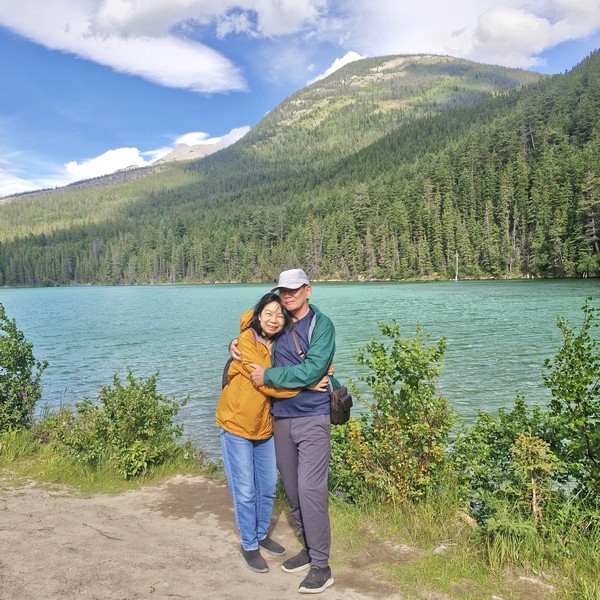
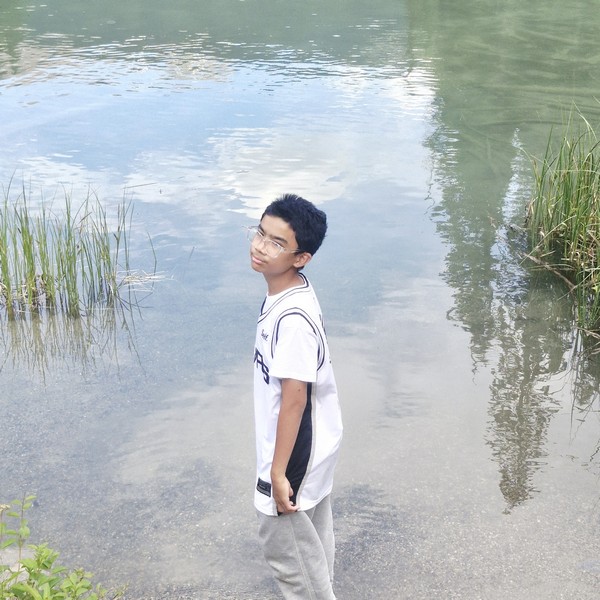
Grace and the author

With its serene atmosphere and abundant flora and fauna, this small pond promises a fun-filled experience for hikers, nature lovers, or those simply seeking some tranquility, in the midst of nature’s wonders. The area is also home to diverse wildlife, such as moose, deer, and a variety of bird species. Visitors are reminded to respect the natural environment and leave no trace behind. Be sure to bring sturdy hiking shoes, bug spray, and a camera to capture the beauty of this hidden gem.
Emerald Pond: Improvement District No. 12, Jasper, Jasper National Park, Alberta T0E 0A8.

How to Get There: The pond is found directly along the Yellowhead Highway (Highway 16), about 21 kms. north of the town of Jasper. A small pullout/parking area is available on the eastbound side of the highway (roughly 200 m. before the pond).
Peyto Lake Viewpoint (Lake Louise, Alberta)

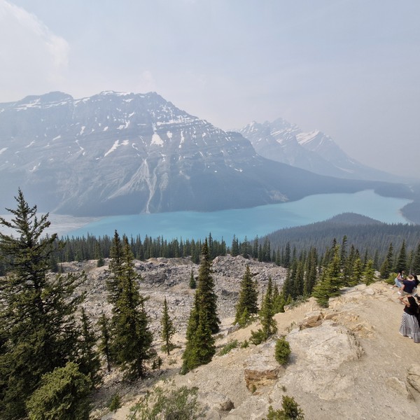
From the Bow Lake Viewpoint, it was a short 7-km. (5-min.) drive to the jump-off for the viewpoint to Peyto Lake, one of the most breathtaking and recognizable lakes in the Canadian Rockies and an awe-inspiring sight that is well worth a stop as you travel the famous Icefields Parkway. 

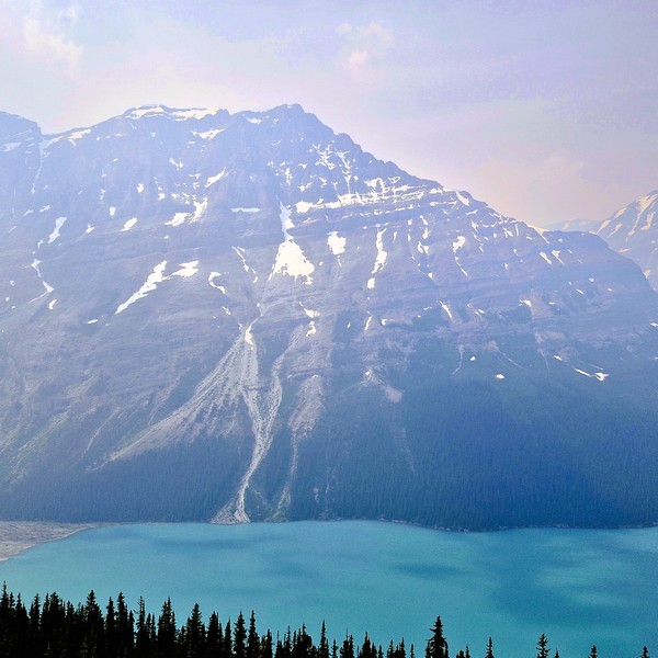
Peyto Lake

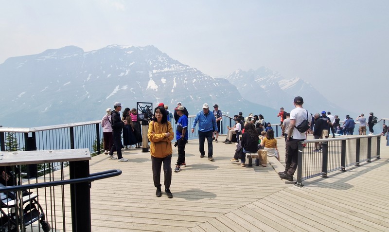
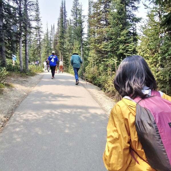
From the parking lot, it was a short, moderate yet rewarding 700 m. (10-15-min.) hike, along the fully paved Peyto Trail, to one of the most stunning viewpoints in Canada, overlooking Peyto Lake’s bright turquoise waters, surrounded by rugged Waputik Range, including the 2,911-m. (9,551-ft.) high Cauldron Peak, the 2,980-m. (9,780-ft.) high Peyto Peak and 2,966-m. (9,731-ft.) high Mt. Jimmy Simpson, and dense forests. As it was summer (the peak season), the area was packed with tourists.

Check out “Bow Lake Viewpoint”

The Peyto Trail

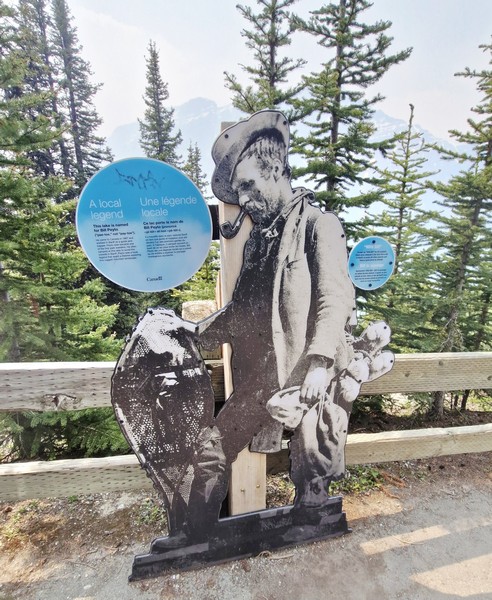
Peyto Lake, a mesmerizing glacier-fed lake in Banff National Park in the Canadian Rockies, near the Icefields Parkway, is the origin of the Mistaya River, which heads northwest from the lake’s outflow, eventually merging into the North Saskatchewan River at Saskatchewan River Crossing. The third most visited lake in Banff National Park (after Moraine Lake and Lake Louise), it  was named after Ebenezer William “Bill” Peyto, an early local trail guide and outfitter, pioneer, and trapper in the Banff area who, beginning in 1913, was one of the first wardens in Banff National Park. 

Check out “Moraine Lake” and “Lake Louise”

Peyto Lake Viewpoint

Fed by Peyto Creek, which drains water from Caldron Lake and Peyto Glacier (part of the Wapta Icefield), it was formed, at a surface elevation of 1,860 m. (6,100 ft.), in a valley of the Waputik Range, between Caldron Peak, Peyto Peak and Mount Jimmy Simpson. The lake is best seen from Bow Summit, the highest point on the Icefields Parkway.

The lake, one of the most recognizable and most visited sites in Banff National Park, was formed approximately 10,000 to 12,000 years ago by the retreat of the Peyto Glacier.  For millennia, the indigenous peoples have used it for sustenance and ceremony. In the late 19th century, early explorers encountered the magnificent body of water, calling it Doghead Lake as it exactly resembles a dog’s head from high points near its south end. It is 2.8 kms. (1.7 mi.) long, 0.8 km. (0.50 mi.) wide and has a surface area of 1.4 sq. km. (0.54 sq. mi.) and a maximum depth of approximately 90 m.

Cauldron Peak

The lake gets its fame from its striking, almost eerie, bright, turquoise color, a trick of the light, which is due significant amounts of suspended glacial rock flour particles produced, during the summer, as nearby Peyto Glacier grinds down the surrounding mountains, and flows into the lake, refracting the light.  Because of its bright color, the lake often appears in photos in illustrated books.  The area around the lake is a popular sightseeing spot.

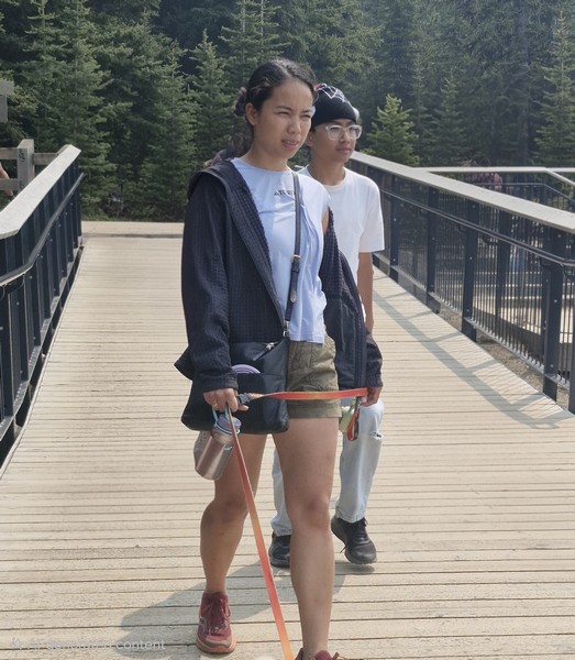
Cheska and Kyle

Peyto Lake isn’t as developed as Moraine Lake and Lake Louise but, in 2021, Parks Canada recently completed a major investment to update the infrastructure at the Peyto Lake area, replacing old restrooms in the lower and upper lot areas, improving signage, adding more parking, expanding the viewing platform, and safeguarding the area’s ecology.  However, there are no washrooms in the main viewing platform and no food and drink facilities in the whole area.

Bill Peyto

Peyto Lake Viewpoint: Lake Louise, Banff National Park, Alberta. Coordinates: 51°43′37″N 116°31′19″W.

How to Get There: The viewpoint is a 1.25-hour drive, via the Trans-Canada Highway and Icefields Parkway, from Banff, a 30-min. drive, via the Icefields Parkway, from Lake Louise, a 2.75-hour drive, via the Trans-Canada Highway and Icefields Parkway, from Calgary, and a 2.5-hour drive, south of the Icefields Parkway, from Jasper.  The viewpoint is about a 10-15-minute hike, on a paved path, from the parking lot which has a lower lot for cars and a upper lot for RVs and tour buses.  There is no public transportation along the Icefields Parkway so you will have to travel by car, shuttle or tour bus.

Bow Lake Viewpoint (Alberta)

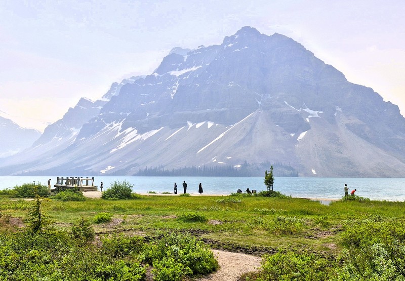
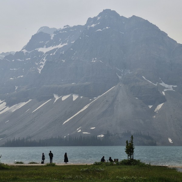
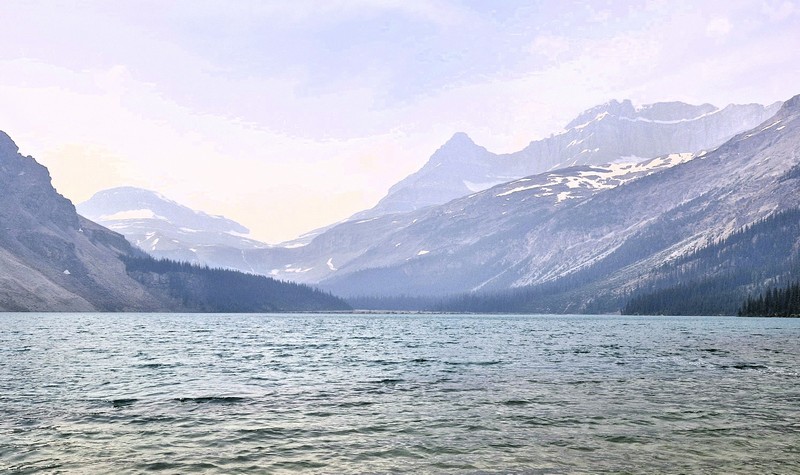
After checking out at Douglas Fir Resorts & Chalets in Banff, we proceed on the long 291-km. (3.5-hr.) drive to the town of Jasper.  After an hour’s drive and about 95 kms. along the way, we made a stopover at the Bow Lake Viewpoint. Situated right off the Icefields Parkway (Highway 93) in Banff National Park, Alberta, it offers a stunning panorama of bright turquoise, glacier-fed (by the Crowfoot Glacier) waters of Bow Lake framed by the towering peaks of the 3,055-m. (10,023-ft.) high Crowfoot Mountain (which plunges directly into the alpine basin), the 2,840-m. (9,320-ft.) high Bow Peak, and the dramatic Bow Glacier.

Bow Lake

The small but beautiful Bow Lake, with very calm and serene waters, is the lake closest to and the main source of the headwaters of the Bow River which runs down, out of the Canadian Rockies, past Banff town, to Calgary, the third largest city of Canada, and beyond. It is one of the last lakes to thaw in the summer. Surrounded by the high peaks of the Waputik Range of mountains, this beautiful, glacier-fed lake, mainly formed by the melted water, turns a lovely, vivid, postcard-like turquoise shade, with a bluish tinge, due to glacial silt reflecting the sunlight.

Crowfoot Mountain

Bow Lake may not be as popular as Lake Louise, Peyto Lake and Moraine Lake, but it is almost as beautiful, with its large glacier as a backdrop, and also does not have the crowds and congestion of the aforementioned lakes.  Imagine the beauty of these three lakes, but without the crowds. That is Bow Lake. This lake is also larger than the more popular lakes, and while the blue isn’t quite as intense, it is still gorgeous, and the walk along the lake is flat and relaxing and you can get a good view of the glacier. 

Check out “Lake Louise,” “Peyto Lake Viewpoint” and “Moraine Lake”

The reflection photos you can take here are also amazing.  This lake is a favorite of photographers as its still water allows them to capture reflections of the mountains. Early morning or late afternoon provides the calmest water for mirror-like mountain reflections.

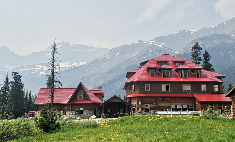
Num-Ti-Jah Lodge

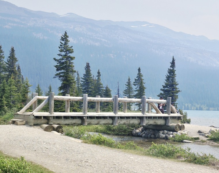
The historic Num-Ti-Jah Lodge, a lodge at the lake, has a coffee shop (where you can get some coffee and a bowl of soup or chili) and gift shop. This quaint wooden building, with a red sloping roof, was one of the original lodges of the Canadian Rockies.  The lodge was originally a small, octagonal log cabin built by Jimmy Simpson in 1922.  In the 1930s, the main lodge was built. Close to the lodge is a charming wooden footbridge near its shoreline.

Wooden footbridge

The day use parking lot at the end of the road has lots of picnic tables.  Aside from the pullover on the Icefields Parkway, another location where you can view Bow Lake is from the lakeside. To get to the lakeside, head to the parking lot area with the numerous restrooms that had been built. The lakeside is a short walk from the parking lot and will enable you to walk past the lodges and the Hanging Glacier Cafe (sells snacks, coffee or souvenirs). The desirable Bow Lake views, with its stunning mountain backdrop, are approximately a 5-min. walk from the parking lot.

Bow Glacier

Truly, this place was a welcome break from the massive crowds of people. While not as dramatic in size or location as Peyto Lake, it still possesses the striking blue coloration owning to mineral suspension. Not a must-see if you’ve already viewed Peyto Lake, but as Bow Lake is right by the road and less busy and it’s also easier to access. The atmosphere at the lakeside was enjoyably quiet/not crowded and was almost meditative as it provided the opportunity to absorb the beauty.

A large parking lot offers plenty of space for the many cars and motorhomes though it is a bit of an issue near the restrooms. An overflow parking lot is available.

Bow Lake Viewpoint: Improvement District No. 9, Alberta T0L 1E0.

How to Get There: The lake, located along Highway 93 North (Icefields Parkway) inside Banff National Park, is a 37-km. (a 20-30 min.) drive north of Lake Louise.

Emerald Lake (Field, British Columbia)

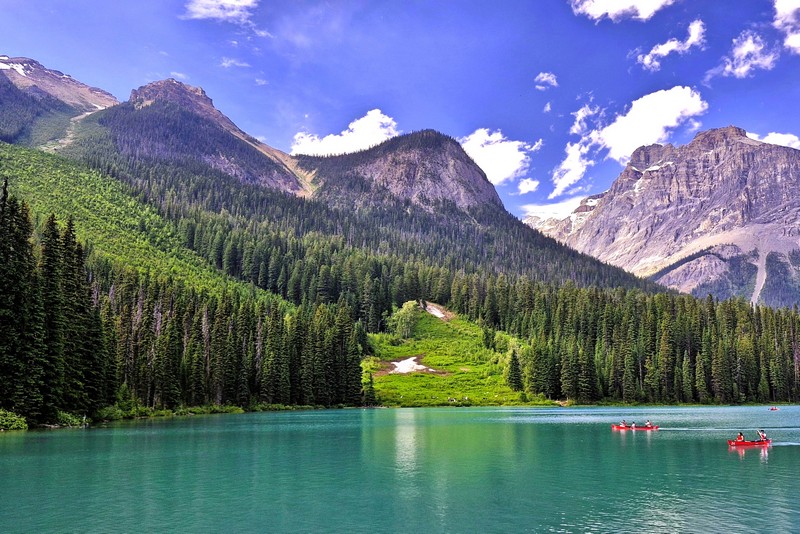
From The Caves National Historic Site of Canada, we headed 98 kms. (a 1.25-hr. drive) northwest, from Banff, Alberta, onto the Trans-Canada Highway (Highway 1), to reenter British Columbia at the town of Field, then turned right onto Emerald Lake Road, to stop by Emerald Lake, a freshwater lake in Yoho National Park, one of the four contiguous national parks in Canada’s Rocky Mountains, along the boundary of British Columbia and Alberta Provinces. The lake is the largest of the 61 lakes and ponds located inside the park.

Check out “The Caves National Historic Site of Canada”

Emerald Lake

The first non-indigenous person to set sight on Emerald Lake was famed Canadian mountain guide Tom Wilson, who stumbled upon it by accident in 1882 when he was led lakeside while rounding up a string of his horses that had gone astray. He gave the lake its name because of its remarkable, vivid, turquoise green-colored waters due to glacial silt (rock flour), different rock type producing the powdered sediment that is suspended in the glacial water, reflecting the entrancing emerald green spectrum of sunlight rather than the blue spectrum seen in Moraine Lake, Hector Lake, Bow Lake and Peyto Lake in neighboring Banff National Park. Earlier that same year, Tom also discovered another lake which he had given the same name (which appeared briefly on the official map) but it was shortly renamed Lake Louise.

Check out “Lake Louise” “Peyto Lake” and “Lake Moraine”

This stunning glacial alpine lake, a scenic natural destination, is the most famous one of and the most admired locations in Yoho National Park.  The majestic mountains of the President Range, named after the President and Vice-President of the coast to coast Canadian Pacific Railway, add to the beautiful of this lake, as well.

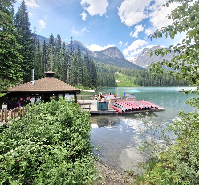
Emerald Sports

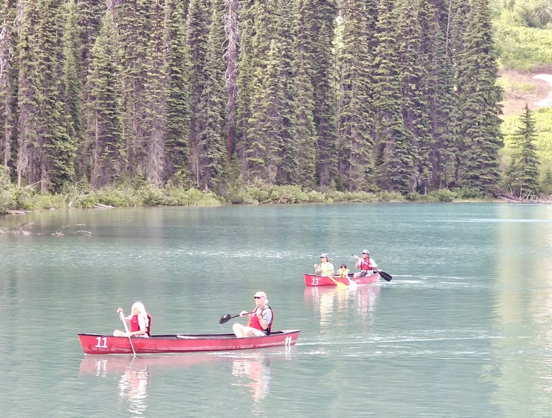
The lake has an unmatched diversity of both activities and landscapes suited to the enthusiastic traveler. Canoeing  and walking are favorite activities here and, during the summer months, fishing is also quite popular. Canoe ($.75 for 1 hour, with a max of 3 people in the canoe) and rowboat rentals are available Emerald Sports (also known as Emerald Sports & Gifts), as are cross-country skis and snowshoes in the winter.

Canoeing at the lake

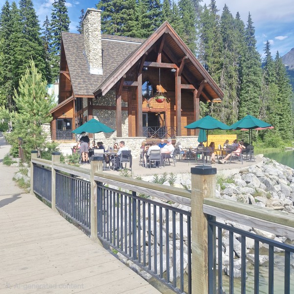
Swimming, though allowed and highly recommended for the experience, is not for the faint of heart as the water is cold due to it being fed by glaciers. The rustic Emerald Lake Lodge is a leisurely delight for those having lunch at Cilantro Café’s lakeside patio. The lodge also offers cabins overlooking the lake and mountains. Near the start of the trail loop are some picnic tables.

Emerald Lake Lodge

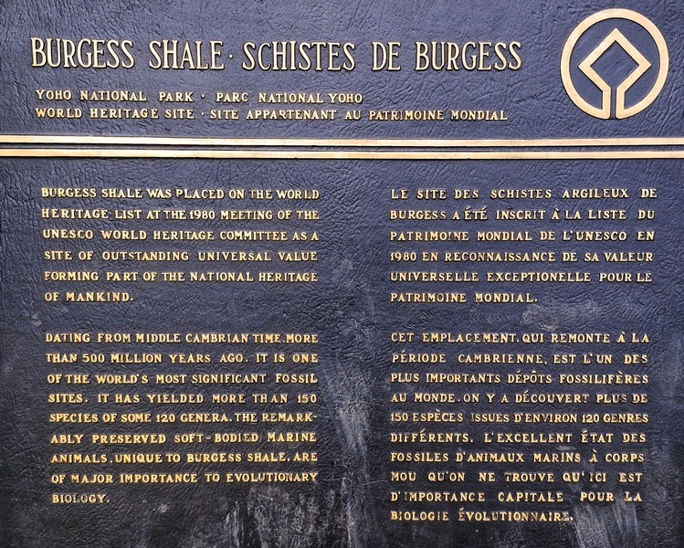
A 5.2-km. (3.2-mi.) flat loop, family-friendly trail circling the shoreline, taking about 1.5 to 2 hours to complete, is one of the least strenuous but most rewarding in the park. From the lake, you can view an incredible breadth of geological features including the world-famous Burgess Shale fossil beds, the Michael Glacier, and an avalanche slope carpeted by meadows, where moose often graze.  Other more advanced hiking trails go in different directions up into the mountains.

Burgess Shale plaque

The lake’s elevation of 1,200 m. (4,400 ft.) above sea level produces a unique selection of flora. Trees found here include western red cedar, western yew, western hemlock and western white pine.  At moist, shady enclaves, you can spot a variety of tiny, fragile wild orchids that survive only in finely balanced conditions. If you’re paying attention, you may be rewarded with a Yellow Lady Slipper, Spotted Orchid, or Calypso sighting.

As animals are drawn to this important water source, Emerald Lake is a fantastic place to see wildlife such as bald eagles, moose, and ospreys as well as waterfowl such as loons and mergansers. Grizzly bears and American black bears are fairly common. However, as many wild animals live in the area and are protected by park law, hunting is prohibited in the park. From November until late April or early May, the lake is frozen due to its 53-degree latitude and moderately high altitude.

Kyle frolicking by the lake

Emerald Lake: 1 Emerald Lake Rd., Field, Yoho National Park, British Columbia V0A 1G0. Coordinates: 51.444°N 116.531°W.

How to Get There: Emerald Lake is a 50-km. (30-mi.) drive to the west of Golden, a 2.5-hr. drive from Calgary, a 28-km. (35-min.) drive from Lake Louise and 10 kms. (a 15-min.) drive west of the small railway village of Field, in Yoho National Park, near the highway exit to Emerald Lake, which has a park-operated visitor center.  A two-lane paved road, about 9 kms (6 mi.) long, connects the Trans-Canada Highway with Emerald Lake. Parking fills up fast in the summer, so it is best to arrive early in the morning.

Hoan Kiem Lake (Hanoi, Vietnam)

Hoan Kiem Lake

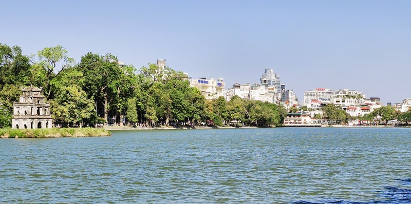
From Hanoi Train Street, a short 2-km. (10-min.) drive brought us to the 11.551-hectare (1,243,350 sq. ft.) Hoàn Kiếm Lake (Vietnamese: Hồ Hoàn Kiếm), a fresh water lake in the heart of Hanoi that is a popular cultural and historical landmark for both locals and tourists.  In the past, the lake was variously named as “Lục Thủy Lake” (Vietnamese: Hồ Lục Thủy, meaning “Green Water Lake,” aptly named for the water’s color), “Thủy Quân Lake” (Vietnamese: Hồ Thủy Quân, meaning “Mariner’s Lake”), Chữ Hán (meaning “Lake of the Returned Sword” or “Lake of the Restored Sword”), Sword Lake (Hồ Gươm) or Tả Vọng Lake (Hồ Tả Vọng, its first name). 

Check out “Hanoi Train Street”

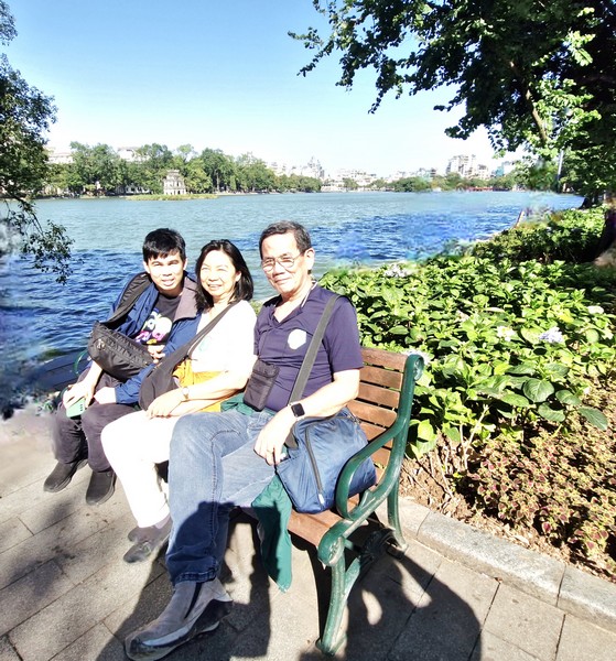
L-R: Grace, Jandy and the author

The area, one of the major scenic spots in the city and a focal point for its public life, is a powerful symbol of Vietnamese independence and resilience. Connected to the city’s Old Quarter, it is surrounded by several major streets (including Dinh Tien Hoang, Le Thai To, and Hang Khay), walking paths, flower gardens and age-old trees, making it an ideal place for a morning jog, a leisurely stroll, Tai Chi sessions, or simply unwinding while enjoying the scenic view, reflecting the harmonious balance between urban life and nature.  In 1891, the French built a road around Hoan Kiem Lake and, on New Year’s Eve 1893, it was officially inaugurated.

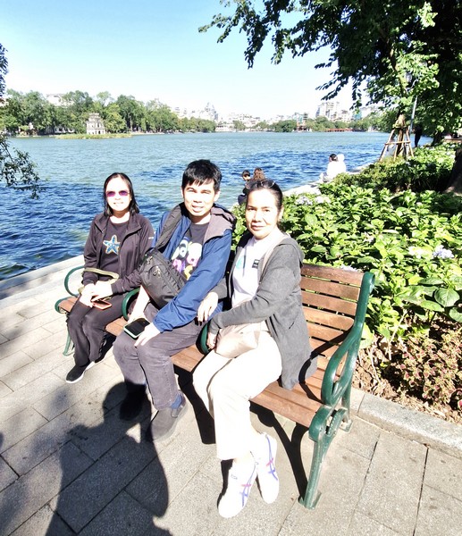
L-R: Lorraine, Jandy and Lourdes

During weekends, the area around the lake becomes a pedestrian-only zone, coming alive with street performances, cultural showcases, and local delicacies, offering a vibrant energy and experience for travelers.  It has a maximum length of 700 m. (2,300 ft.), a maximum width of 250 m. (820 ft.), an average depth of 1.2 m. (3.9 ft.) and a maximum depth of 2 m. (6.6 ft.).

The lake’s name comes from a legend which is deeply intertwined with Vietnam’s history and folklore.

During the 15th-century, Emperor Lê Lợi, while boating on the lake, was given Heaven’s Will, a magical sword, by the Dragon King (Long Vương) , a local god,  to defeat the Ming Dynasty of China. After his victory, the Golden Turtle God (Kim Qui) surfaced to reclaim the sword and return it to its divine realm, and the king renamed the lake to commemorate the event. 

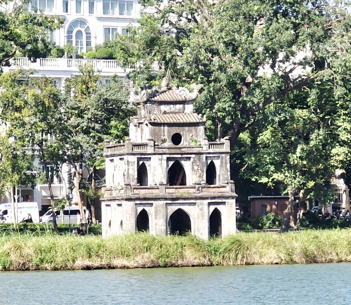
Turtle Tower (Tháp Rùa)

The iconic Turtle Tower (Tháp Rùa), a small tower standing on a small island near the center of the lake, is linked to the legend. For many years, large soft-shell turtles (either the species Rafetus swinhoei or a separate species named Rafetus leloi in honor of the emperor), have been sighted in the lake but the last known individual was found dead on January 19, 2016. There are three remaining turtles of the species Rafetus swinhoei.

Jade Islet, near the northern shore of the lake, is home to the Temple of the Jade Mountain (Ngoc Son Temple).  Built in the early 19th century, the temple, originally dedicated to “Three Sages” Wenchang Dijun, Guan Yu and Lü Dongbin, also honors Trần Hưng Đạo, a 13th-century military leader  and national hero who distinguished himself in defeating the Mongol invasions of Vietnam thrice; the classic scholar Văn Xương; Taoist master La To and Nguyễn Văn Siêu, a famous writer and official who undertook repairs of the temple in 1864.

Its architecture is a blend of traditional Vietnamese styles, with intricate wooden carvings, red-lacquered pillars, and delicate dragon motifs, while inside, visitors can observe ancient artifacts, calligraphy, and a preserved specimen of the sacred turtle believed to be linked to the legend of the lake.  Buildings of the temple, all with symbolic meaning, include the Tháp Bút (“The Pen Tower,” it is inscribed with the words “Ta Thanh Thien,” which means “Writing on the Blue Sky”, symbolizing the importance of literature and education in Vietnamese culture), the Đài Nghiên (ink-slab), the Đắc Nguyệt (“moon contemplation pavilion”) and the Đình Trấn Ba (pavilion against waves). 

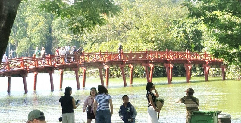
Jade Island is accessed, from the shore, by the wooden Thê Húc Bridge (Cầu Thê Húc).  Painted vermillion red, the bridge’s name is poetically translated as “Perch of the Morning Sunlight.” One of the most photographed spots in Hanoi, it stands out against the emerald-green waters of Hoan Kiem Lake.

Thê Húc Bridge

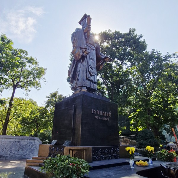
On the western bank of Hoan Kiem Lake, along Le Thai To Street, is the “Ly Thai To Monument” with its statue honoring King Ly Thai To (974–1028), the first emperor of the Ly dynasty, who reigned from 1009 to 1028 AD.  He is best known for moving the capital to Hanoi (then called Thang Long), in 1010 AD, and for leading the resistance against the Ming army in the 15th century.

Ly Thai To Monument

Hoan Kiem Lake: Hàng Khay Street, Hoan Kiem District, Hanoi, Vietnam. Coordinates: 21°01′44″N 105°51′09″E.

How to Get There: The lake is conveniently located near the Old Quarter and is easily accessible. 

Loch Ness Cruise (Scotland, U.K.)

Loch Ness Cruise

Part of Scottish Highlands Tour

The highlight of our Scottish Highlands Tours was our cruise of Loch Ness courtesy of Cruise Loch Ness which has been operating from Fort Augustus since May 1968 as an e-RNLI lifeboat carrying 12 passengers.

Check out “Fort Augustus”

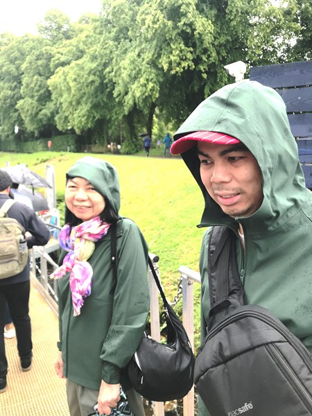
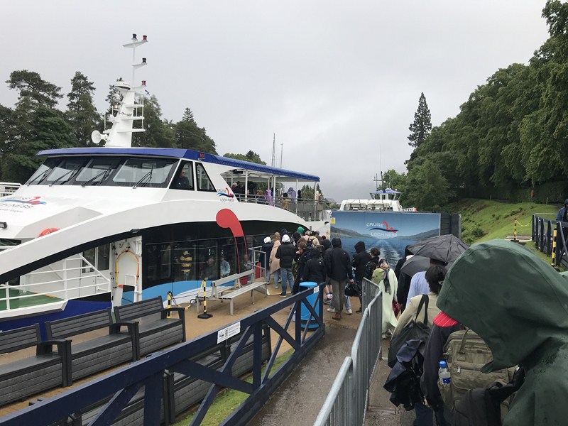
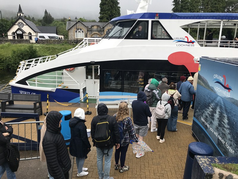
Grace and Jandy waiting to board the Spirit of Loch Ness

One of the leading tour providers in the Scottish Highlands, it offers a range of boat tours on the loch, including scenic cruises and exhilarating high-speed RIB cruises (which can carry 12 passengers). The scenic cruises run daily, all year round, and they are a great way to see the sights of the loch.

The 210-pax Spirit of Loch Ness

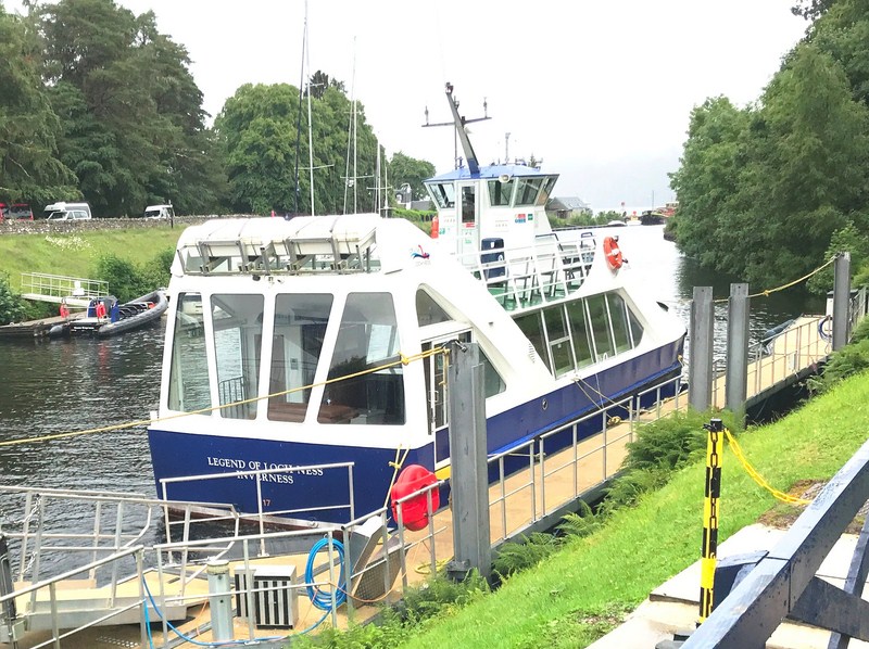
The smaller, 108-pax  Legend of Loch Ness

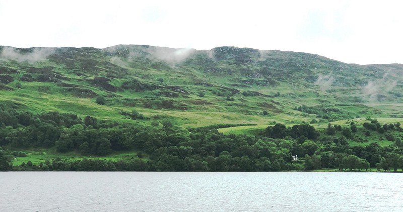
The 56 sq. km. (22 sq. mi.), Loch Ness, an elongated freshwater loch in the Scottish Highlands, is the second-largest Scottish loch by surface area (after Loch Lomond), but due to its great depth it is the largest by volume in Great Britain. Its deepest point is 230 m. (126 fathoms; 755 ft.), making it the second deepest loch in Scotland after Loch Morar.

Now boarding …..

It contains more water than all the lakes in England and Wales combined, and is the largest body of water in the Great Glen, which runs from Inverness in the north to Fort William in the south. With a capacity of 23,000 cu. ft., it is almost three times that of Loch Lomond and more that three times that of Loch Morar.  Its surface is 16 m. (52 ft.) above sea level. There are nine villages around the loch, as well as Urquhart Castle.

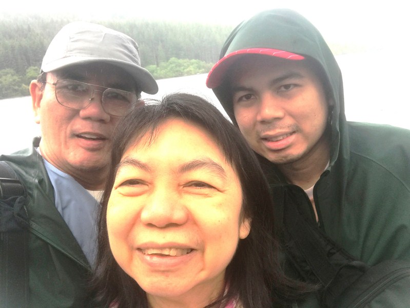
The author (left) with Grace and Jandy

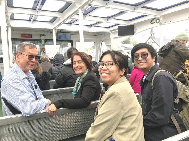
L-R: Manny, Paula, Selena and Sean

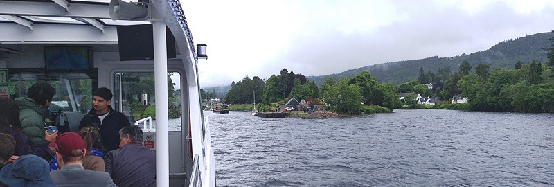
We boarded the Spirit of Loch Ness, one of two custom built vessels (the other is the smaller Legend of Loch Ness which can carry 108 passengers). It had a top speed of 20 knots,  can carry 210 passengers and had a fully-stocked bar.  It was still raining and quite foggy along the loch when we left the dock.

Loch Ness View Point

The River Oich carries water from Loch Oich (to the SW) to Loch Ness (to the NE) and runs in parallel to a section of the Caledonian Canal for the whole of its 9 km. (5.6 mi.) length.

Loch Ness is best known for claimed sightings of the legendary  cryptozoological Loch Ness Monster, a cryptid, reputedly a large unknown animal, also known affectionately as “Nessie,”  and both ships have state-of-the-art sonar equipment (with 14 sonar monitors) on board, which beams live images from beneath the water.

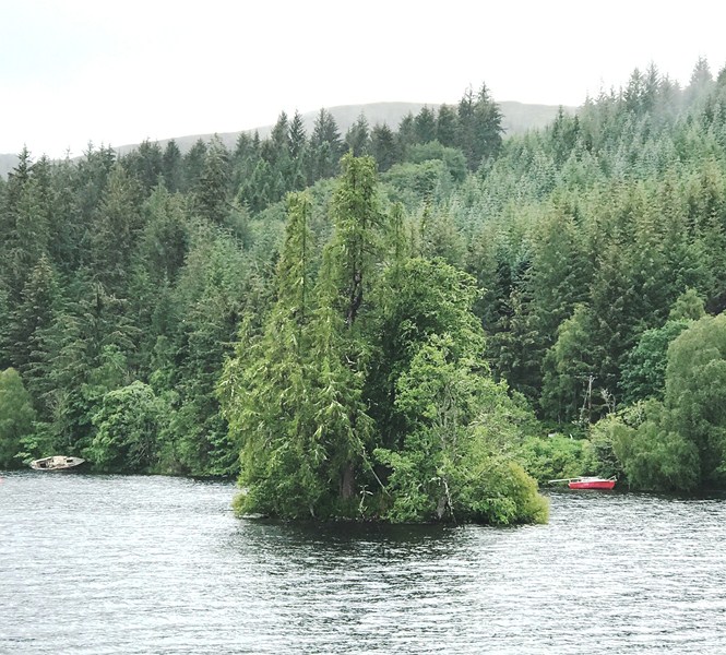
Eilean Muireach (Cherry Island)

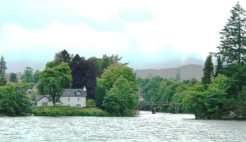
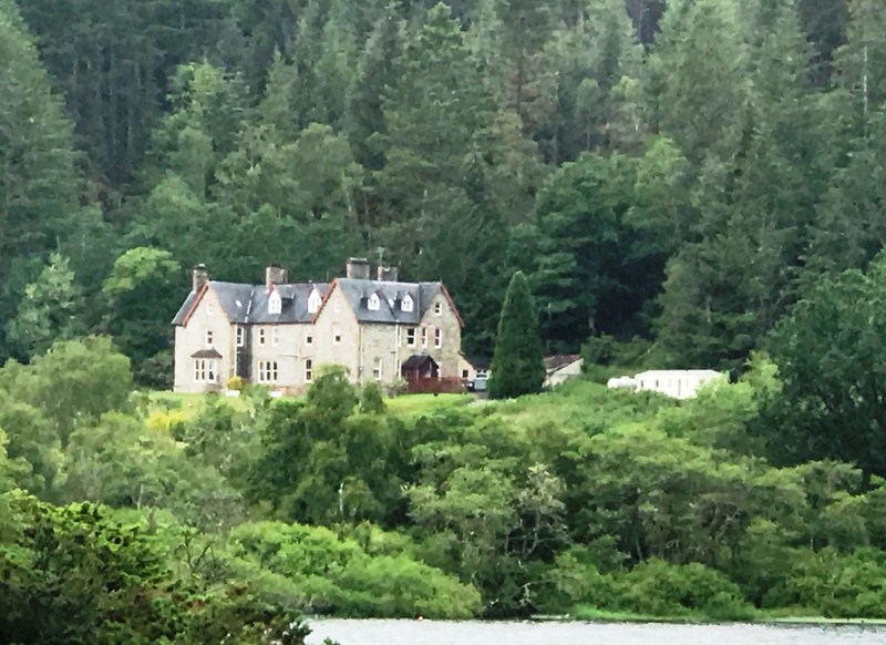
We departed Fort Augustus by 3 PM. Our daytime cruise was to take around 50 minutes.  We cruised past the over 150 year old, 3-storey Inchnacardoch (meaning “field” or “meadow”) House which was formerly a hunting lodge built in 1878 by Lord Lovat and, later, used as a base for the Royal Air Force during World War II.  Today, it is now the 3-star Inch Country House Hotel, with 17 rooms and a restaurant.

Inchnacardoch House

In front of the Inch Hotel is Cherry Island, the loch’s only island. Also called Eilean Muireach, meaning Murdoch’s Island, it is located 140 m. from the shore of the southern end of the loch.  The island, an example of a crannog (a man-made island composed of loose rubble stones, was originally 49 m. by 51 m. but is now smaller since the level of the loch was raised when it became part of the Caledonian Canal.

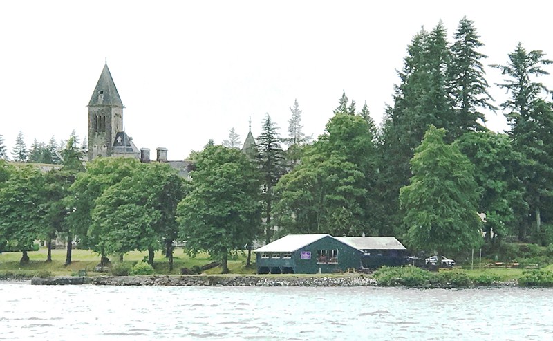
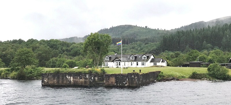
Fort Augustus Abbey (left) with the Boathouse (a restaurant) on the right

We also had a loch-side view of the impressive Fort Augustus Abbey, a former Benedictine monastery begun in 1876 and completed in 1880.  It has been transformed, in 2012, into The Highland Club, a luxury hotel consisting of 97 apartments and 12 cottages.

Steamship Landing Stage

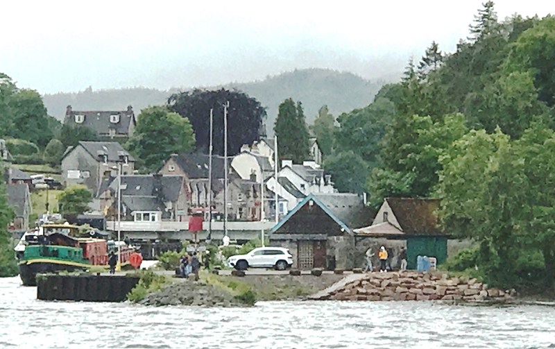
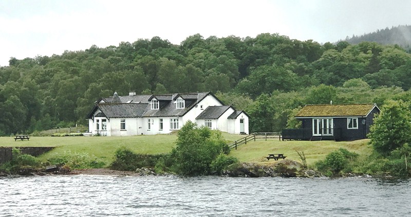
We also passed the Old Pier, built for paddle steamer ferries, which was built in 1896 and closed in 1924.  Behind is the Old Pier House.  Formerly a small cottage built in 1903 to accommodate the railway station master, it was renovated into a home of the MacKensie family in 1977. It now provides guests with accommodation both in the house and in three log cabins.

Old Pier House

Loch Ness is a clear example of a U-shaped valley (like a bathtub), a characteristic feature of the higher ground in the Scottish Highlands.  This valley was eroded, along its length, by glaciers into a series of rock basins now occupied by the loch.  Its shores are so steep that aquatic vegetation is virtually non-existent.

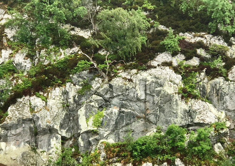
The steep granite cliffs

When the fog cleared, we saw some of the almost vertical granite cliffs along the sides of the loch, with slight grooves and scratches made by rock fragments as they were dragged along the ice. The absence of islands in the loch shows the power of ice scouring.  It is also too rocky for agricultural improvement.

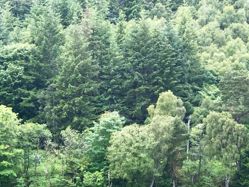
The diverse flora in the coastal forest includes Caledonian Scots pine, sessile oak, hazel, downy birch, rowan, eared willow and quaking aspen.

Cruise Loch Ness: Caledonian Canal, Fort Augustus, PH32 4BD, United Kingdom. Tel: +44 (0)1320 366277. E-mail: info@cruiselochness.com  Website: www.cruiselochness.com. Rates: £20 (adult), £13 (child), £18 (concession) and £60 (family).

Old Pier House: Fort Augustus PH32 4BX, United Kingdom.  Tel: +44 7593 580373.  E-mail:  bookings@oldpierhouse.com.  Website: www.oldpierhouse.com. 

Inch Country House Hotel: Fort Augustus, Inverness-shire, Scotland PH32 4BL, United Kingdom.  Tel: 44 145-450900.  Fax: 44 1320-366248.  E-mail: happy@inchhotel.com. Website: www.inchhotel.com.

The Highland Club: St.Benedict’s Abbey, The Highland Club, Fort Augustus PH32 4BJ, United Kingdom.  Tel: +44 20 3478 3897. E-mail: reservations@thehighlandclub.co.uk. Website: www.thehighlandclub.co.uk. 

The Hairy Coo:  Suites 6 & 7, Administrative Office Only, St. John’s Studios, 46A Constitution St., Leith, Edinburgh EH6 6RS, United Kingdom.  Tel: +44 131 212 5026.  E-mail: contact@thehairycoo.com. Website: www.thehairycoo.com.

How to Get There: Fort Augustus is located 161 kms. (100  mi.) from Edinburgh and 692 kms. (430 mi.) from London. The village is served by the A82 road and lies approximately midway between Inverness (56 kms.) and Fort William (51 kms.) in the Scottish Highlands.  Coordinates: 57.1432°N 4.6807°W.

Harrison Lake and Lagoon (Harrison Hots Springs, British Columbia, Canada)

Harrison Hot Springs

On the morning of our 32th day in Vancouver, our whole family drove 122 kms. (a 1.5-hour drive) to the resort community of Harrison Hot Springs, east of downtown Vancouver, were we were to join a relaxing picnic with some Vancouver friends.

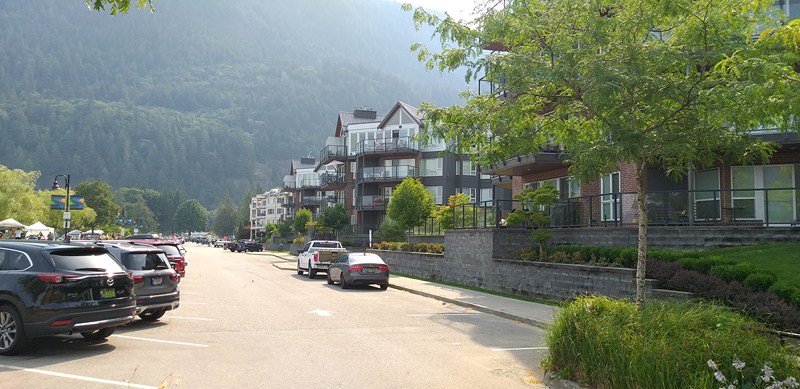
Parking area along Esplanade Avenue

It is home to soothing, natural mineral hot springs, a long sandy beach and beautiful Harrison Lake and Lagoon. Both town and lake were named after Benjamin Harrison, a director (later Deputy Governor from 1835 to 1839) of the Hudson’s Bay Company.

Lillooet Avenue

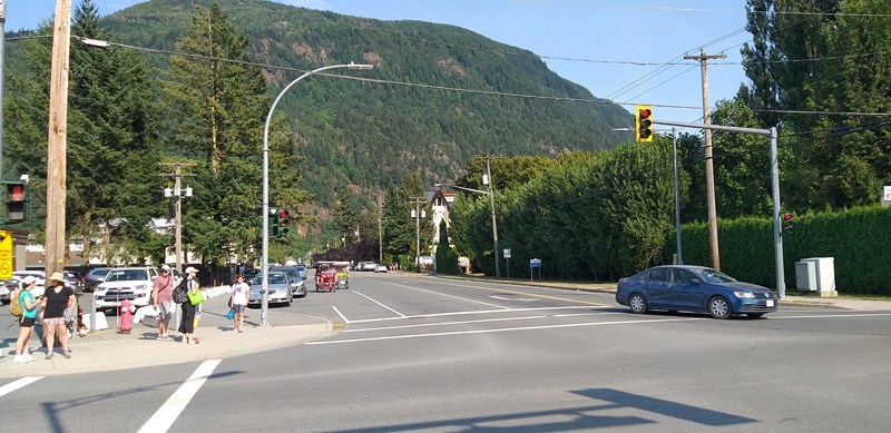
Upon arrival, we parked near the Harrison Hot Springs Village promenade, a paved walkway that runs parallel to Esplanade Ave..  It connects the beach, spa resort, retail shops and restaurants.

Rendall Park

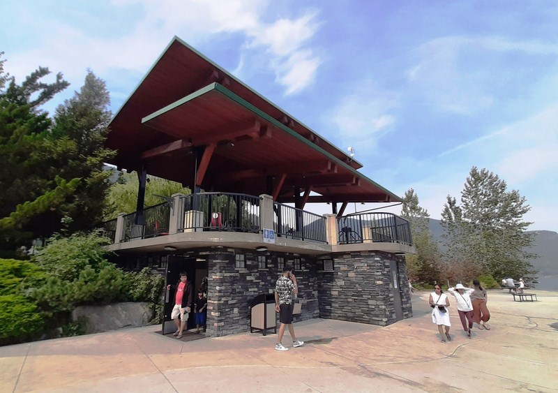
Public Washroom and Fitness Area

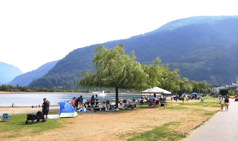
Along the promenade, we set up our picnic spread at the lakefront Rendall Park, a large grassy field with picnic tables, port-a-potties, barbecue pedestals, colorful gardens and big, old shady trees at the east side of Harrison Village, just past the boat launch.

Killer’s Cove Marina

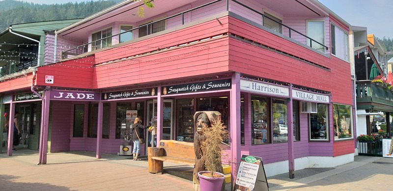
Harrison Village Mall

Located near the Harrison Yacht Club and Ranger Station Art Gallery, the park had good views of Harrison Lagoon and the Marina, on one side, and apartments, condos, hotels and restaurants on the other.

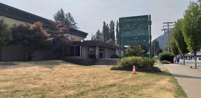
Public Mineral Pool

The Public Pool is centrally located at the junction of Hot Springs Road and the Esplanade.

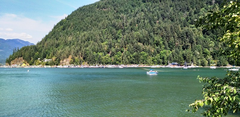
Harrison Lake

The largest lake in the southern Coast Mountains of Canada, cozy Harrison Lake is located in the beautiful Fraser Valley east of Vancouver.  It covers about 218 sq. kms. (84 sq. mi.) in area and is about 60 kms. (37 mi.) in length and, at its widest, almost 9 kms. (5.6 mi.) across. It has a surface elevation of 10 m. (33 ft.), an average depth of 151.4 m. (497 ft.), a maximum depth of  279 m. (915 ft.) and a water volume of 33 sq. kms. (27,000,000 acre⋅ft.).

The author with Harrison Lake in the background

The lake is the last of a series of large north-south glacial valleys tributary (the others to the west are the Chehalis, Stave, Alouette, Pitt, and Coquitlam Rivers) to the Fraser along its north bank east of Vancouver, British Columbia. East of the lake are the Lillooet Ranges while to the west are the Douglas Ranges.

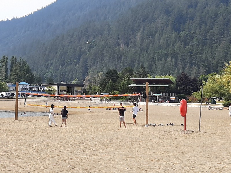
Beach volleyball

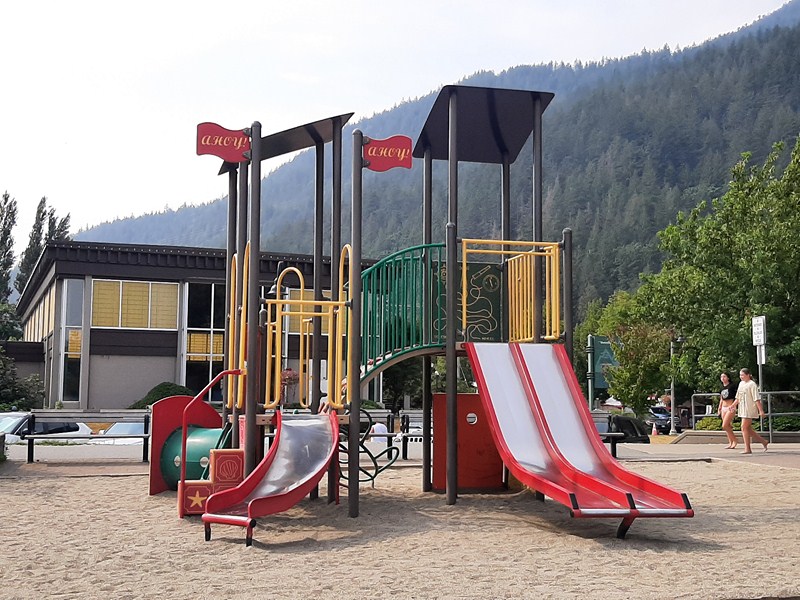
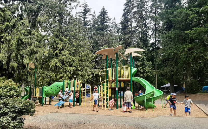
Children’s Playground

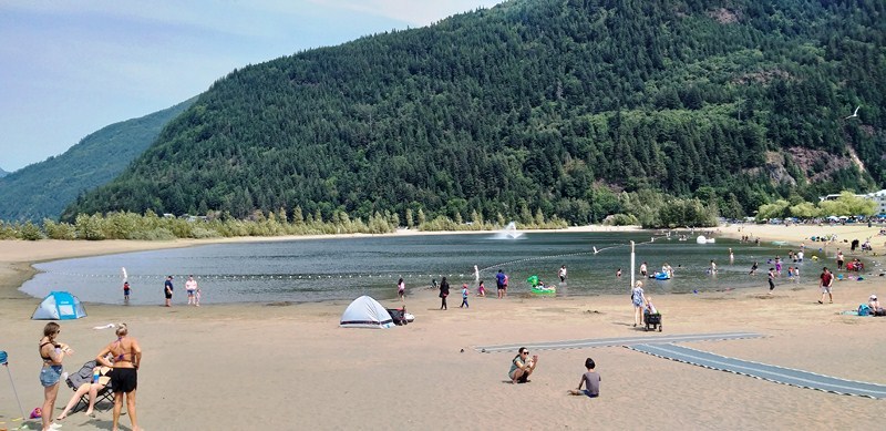
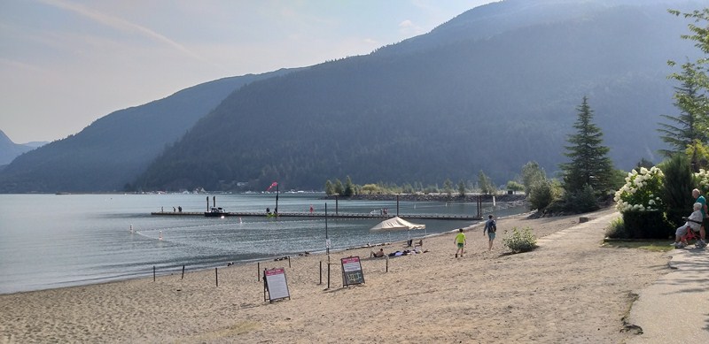
During the busy summer season, Harrison Lake is popular its beautiful sandy beaches along with picturesque parks, swim areas, playgrounds, beach volleyball and a wide variety of water activities (boating, kayaking, canoeing, stand up paddle boarding, windsurfing, jetskiing, sailing, etc.) situated along the beach (or you can just hanging out in the water and on the sand).
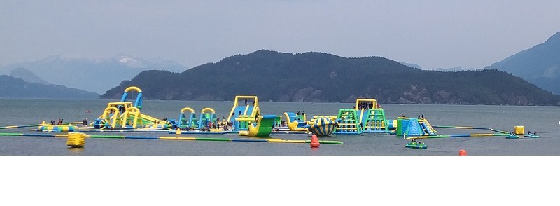
Harrison Watersports

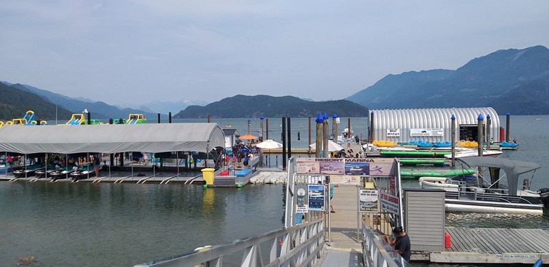
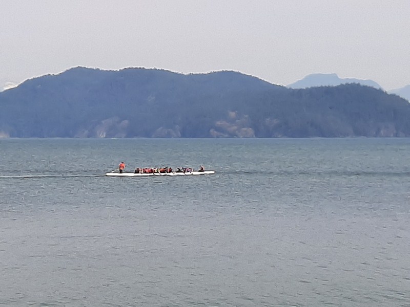
There’s also an amazing inflatable water playground (Harrison Watersports), with its trampolines and bumper boats, out in the lake that’s open (for a fee). A glacier-fed lake, Harrison Lake can be very cold. There are no lifeguards on any of the beaches in Harrison Hot Springs.
Harrison Lagoon

Harrison Lagoon (on the southern tip of Harrison Lake), on the other hand, is an artificial water body created in the 1960s.  It is divided from Harrison Lake by a man-made berm built with rock and sand and designed to allow for water to come through the rocks into the lagoon from the lake. Because of this, it is a natural water body and you will notice the lagoon rise and fall with the level of the lake.

The manmade berm

The lagoon is a popular swimming hole during the summer as it gets quite warm. On hot days, there can be upwards of 400 people swimming, tanning, and wading here. It is also safe for kids to swim and play as it is protected, shallow and warmer than the lake.

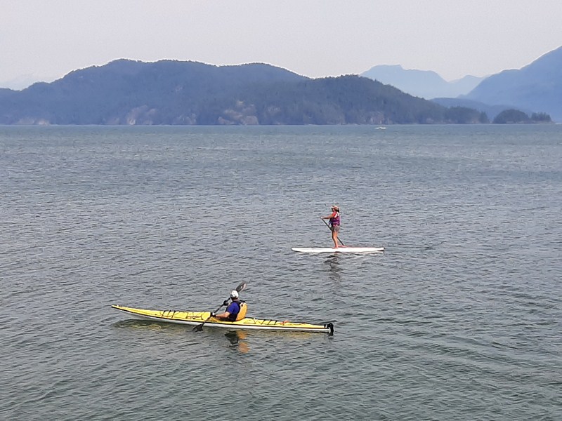
We tried out our two inflatable stand up paddle boards, first at the lagoon and, later, at the lake itself. Both lagoon and lake have a cordoned off swimming area. 

Kayaking and stand up paddle boarding at Harrison Lake

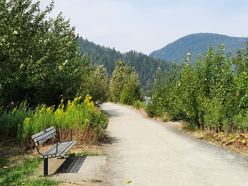
We also hiked the generally easy, 1.4-km. (0.9-mi.) loop trail near Harrison Hot Springs, a very popular area for birding, mountain biking, and running which took me 20 mins. to complete. Along the way, while exploring, I encountered joggers, walkers and pet owners (dogs are welcome, but must be on a leash).
Harrison Lake and Lagoon: Harrison Hot Springs, British Columbia V0M 1K0, Canada.  Tel: (604) 796-5581. E-mail info@tourismharrison.com.  Website: www.tourismharrison.com. Coordinates: 49°30′N 121°50′W.
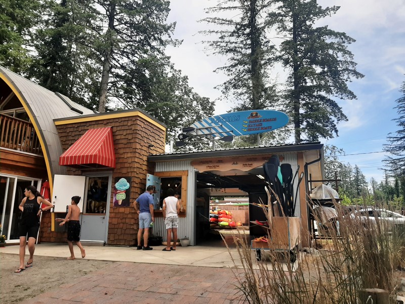
Harrison Watersports: Admission: $40 CAD ($31 USD) for a 2-hour pass to the waterpark (wetsuit not included, but you can rent one for around $6 CAD). The second package is $57 CAD ($44 USD) and it includes a 2-hour pass, transportation to and from the waterpark, a wetsuit, and a 30-minute bumper boat ride. Open from early June until early September, 11 AM to 6 PM daily.


How to Get There: Harrison Hot Spring is located about 30 mins. northeast of Chilliwack, 8 kms. (5 mi.) north of Agassiz, on the Lougheed Highway 7, and 123 kms. (77 mi.) east of Vancouver (1-½ to 2-hour drive).  From Vancouver, travel along Highway 1 and take Exit # 135 to head north up Highway 9 through Agassiz. Continue for another 8 kms. ( 5 mi.).

Deer Lake Park (Burnaby, British Columbia, Canada)

Deer Lake Park

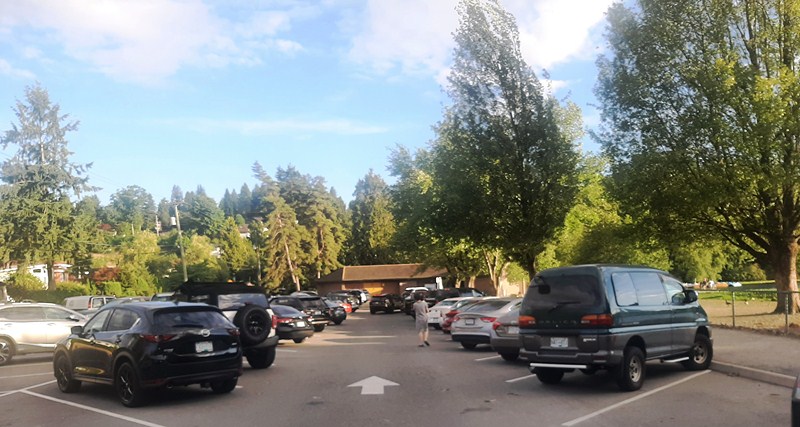
On the late afternoon of our 12th day in Vancouver, my daughter Cheska brought my wife Grace, my son Jandy, grandson Kyle and I to tranquil,  207-hectare Deer Lake Park, a 5.5-km. (12-min.) drive away, where we were to have a picnic dinner with  some U.S. friends.  From Sperling Ave., we parked at a lot closer to Deer Lake beach area.  Right across were two tables with benches where we had our picnic. An accessible washroom is located on the east side of the lake, near the parking area.

Parking lot along Sperling Ave.

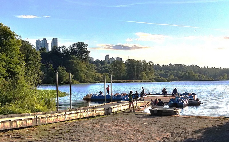
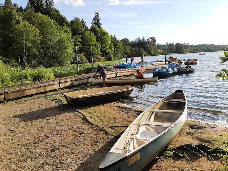
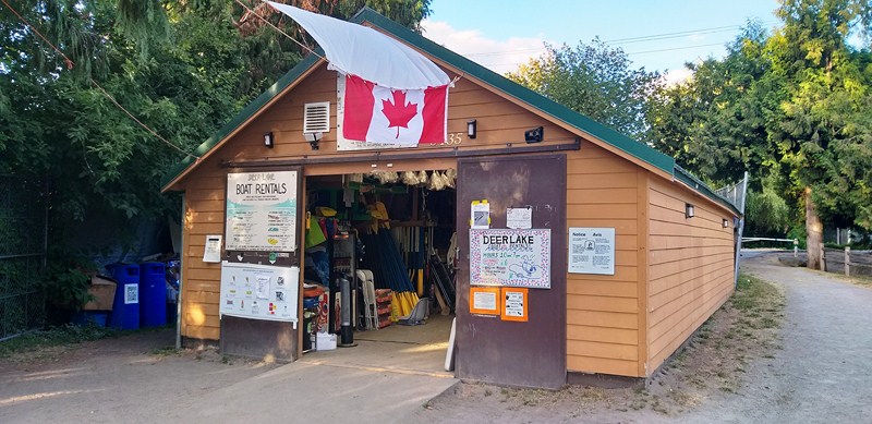
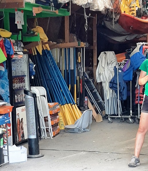
Nearby, on the east end of Deer Lake, is a sandy public beach for play, along with swings for children. Plus, there’s a dock where you can launch small boats, like kayaks and canoes during the spring through the fall season. Those arriving with a kayak or canoe on their car top carrier, can launch it from the dock. From the dock, (on the western edge of the park), at 5435 Sperling Ave., there’s also Deer Lake Rental, a rental service for non-motorized watercraft such as rowboats and pedal boats as well as canoes and kayaks.

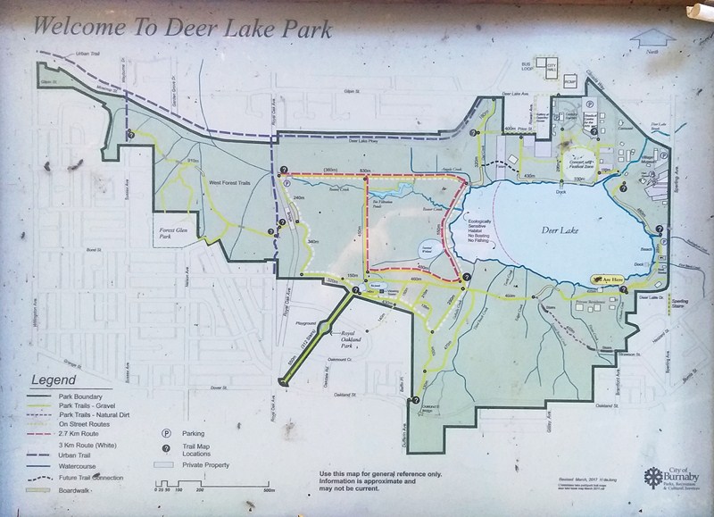
Deer Lake Park Map

Europeans who came here, not having seen caribou before, called the caribou “deer,” Caribou, in great numbers, could be seen crossing the lake from north to south, hence the name Deer Lake (the park’s namesake).

Boat Launch Dock

Situated in the central heart of the city, Deer Lake, along with Burnaby Lake, is home to resident populations of wildlife like many species of ducks, song birds (flitting through the meadows), otters and, just maybe, beavers (hard at work building dams in the marshy areas to the west of the lake) which one might glimpse them as one walks or runs along the trails that circle the lake’s 2.4-km. perimeter.

Deer Lake Rentals

You can also climb the wildlife viewing tower, near the southwest corner of the lake, to watch for endangered Western painted turtles sunning themselves on logs or basking on rocks in the ponds.

Deer Lake Rentals

Year-round resident birds in the park include red-tail hawks (circling the sky for prey below), black capped chickadee, spotted towhee, majestic great blue herons (fishing in the shallows), Anna’s hummingbird, Bewick’s Wren and Stellar’s Jay.  Summer breeding birds include Northern Harrier, March Wren, Cedar Waxwing, Swainson’s Thrush, Common Yellowthroat and American Goldfinch.  Winter & Migratory birds at Deer Lake Park include Dark Eyes Junco, Ruby Crowned Kinglet, Hermit Thrush, Yellow-rumped Warbler and Mountain Bluebird.

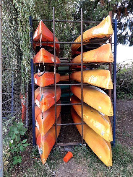
Kayaks for rent

The temperate rainforest, the vegetation natural to the area, is dominated by trees considered particularly tall for the Lower Mainland, with conifers such as Western hemlock (Tsuga heterophylla), Douglas fir (Pseudotsuga menziesii), and Western Red Cedar (Thuja plicata). Deer Lake and the surrounding park is a highly altered habitat and while cutthroat trout, rainbow trout, stickleback, sculpin and crayfish were likely native to Deer Lake, most of the aquatic animals are introduced species and invasive species include bullfrog, ictalurid catfish and carp.

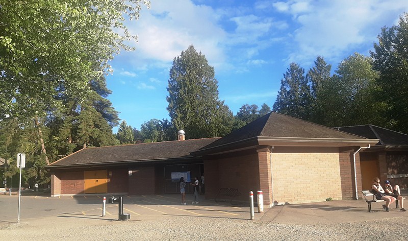
Deer Lake Beach House

Beaver Creek, flowing under the wooden boardwalk, is used by fish for feeding and as a refuge from predators such as larger fish, mink, otters, herons, and kingfishers. Young Coho salmon use this stream as they grow before their journey to the ocean. Most of the wetlands along Beaver Creek are wet meadows and open water pond area, and a remnant bog area on the Western lakeshore. Trees that can tolerate these wet conditions are Sitka Spruce, Birch, Willow hardhack, Sweet gale, Black twinberry, Dwarf dogwood, Labrador tea, Salmonberry, Sedges and Bulrushes.

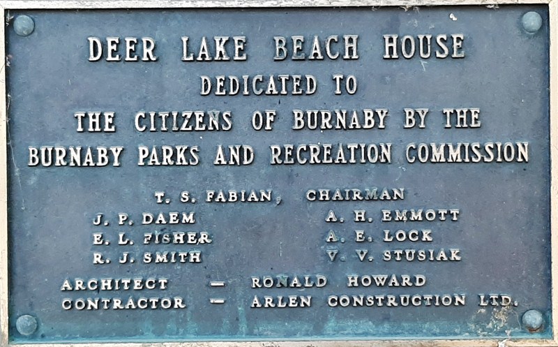
Deer Lake Beach House plaque

To the north of Deer Lake, you’ll find Burnaby’s cultural centre for art and culture – Burnaby Art Gallery (located Fairacres Mansion at 6344 Deer Lake Ave.),  Shadbolt Centre for the Arts (just a short ways further down the road at 6450 Deer Lake Ave.), Burnaby Village Museum (an excellent outdoor museum at the northeast corner of the park at 6501 Deer Lake Ave.) and more. It’s a hub of activity during the busy summer season, hosting concerts and festivals on the Festival Lawn.  The park is also home to Burnaby Village and Hart House (a historic building and present-day restaurant at 6664 Deer Lake Ave.).

Check out  “Fairacres Mansion,” “Burnaby Art Gallery,” “Burnaby Village Museum” and “Shadbolt Centre for the Arts“

Located in Central Burnaby, not far from Burnaby City Hall and halfway between Burnaby Lake and Metrotown, it is one of Metro Vancouver’s largest and most popular city parks, with walking trails and wide open spaces, and is a very popular area for birding and running (you’ll likely encounter other people while exploring).

Even if the skyscrapers of Metrotown rise above the lake, Deer Lake Park still provides a unique nature escape in the middle of Burnaby. It’s a great place for hiking, boating, spotting wildlife, and learning about history and culture.  Just below the Burnaby Art Gallery, the Deer Lake Park Festival Lawn is an ideal spot for a picnic on the grass or at the picnic tables near the wide paved path leading to Deer Lake.

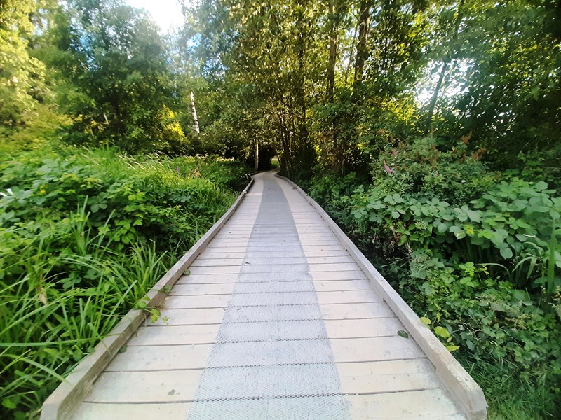
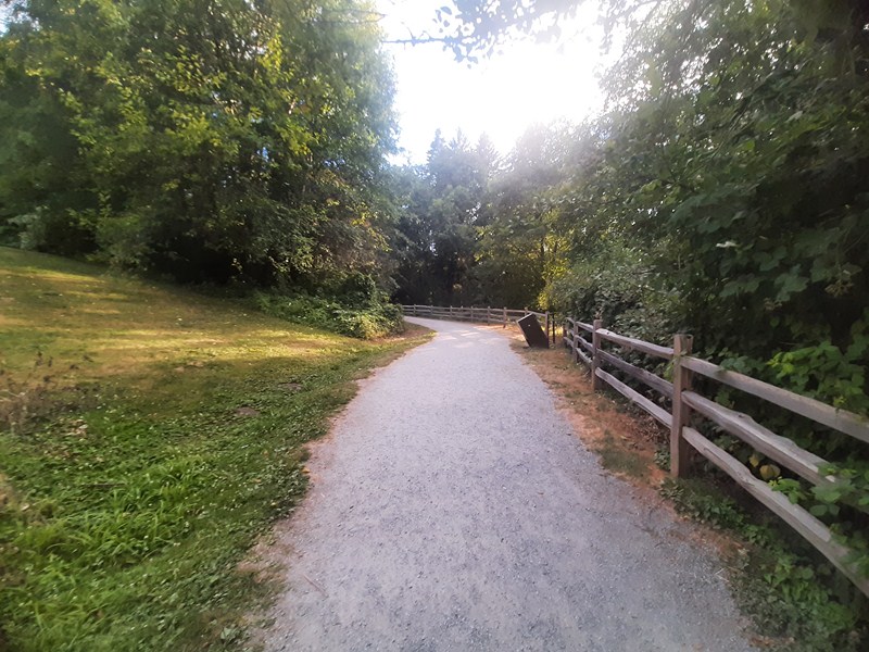
The lake itself, in the middle of the park, has a lovely, mostly finely crushed gravel and hard packed dirt (in some parts it’s a wooden boardwalk) main walking trail along the water’s edge and through the forest (this map shows all the trails and their surfaces). Some of the paths may be too steep for some users and tree roots crossing the trail also pose a tripping hazard.  Dogs are welcome, but must be on a leash.

The park offers a variety of many connecting trails (open year-round and beautiful to visit anytime and routes (more of an outdoor urban walk than a hike) that surround the lake:

  • Deer Lake Loop Route
  • Hart House Mini Route
  • Oakland Flats
  • Royal Oak Meadow Route

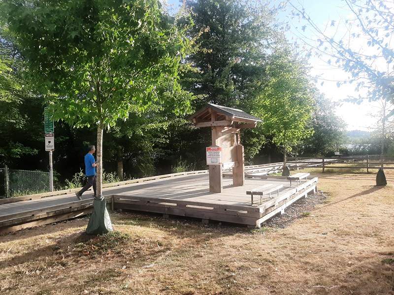
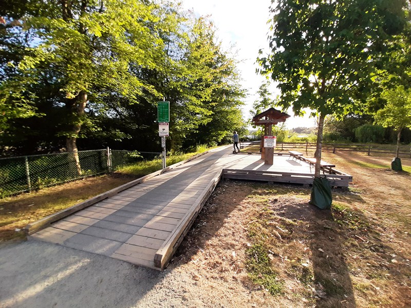
Wooden Boardwalk

You can do a small loop which runs around the edge of the lake for most of the way and takes about 35 mins., depending on how fast you walk.  You can go past the end of the lake though and continue on the larger loop (which takes about 45 mins.) which then makes its way back to the lake and the last part of the smaller loop. Doing both loops, considered an easy route, in a figure eight (where you walk along the middle section twice on your way round), is about 4.5 to 5 kms. long and takes 55 mins to an hour or so, from start to finish. Bikes are not permitted on wooden boardwalks.

Dirt and crushed gravel trail

A number of annual events take place at Deer Lake Park.  They include the following:

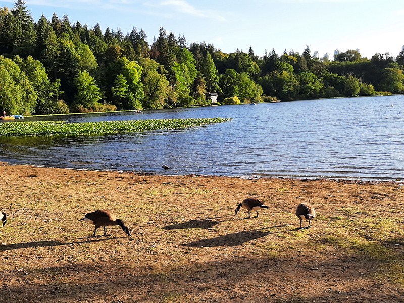
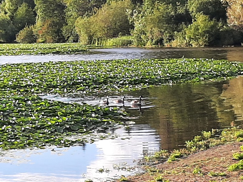
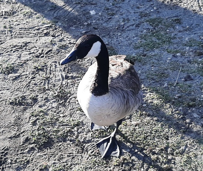
Canada goose

The park was a nice place for families with small kids, folks looking for a nice nature trip, or a good loop outside (if you are short on time). To enjoy the gardens in bloom, visit Deer Lake Park in spring. To enjoy many different flowers (including rhododendron, Burnaby’s official flower), visit Century Garden, next to the Burnaby Art Gallery, or the city-owned Eagles Estate Heritage Garden, on the southeastern shore of the lake, which dates back to 1929 and includes Japanese maples, rhododendrons, and magnolias.

Check out “Century Gardens“

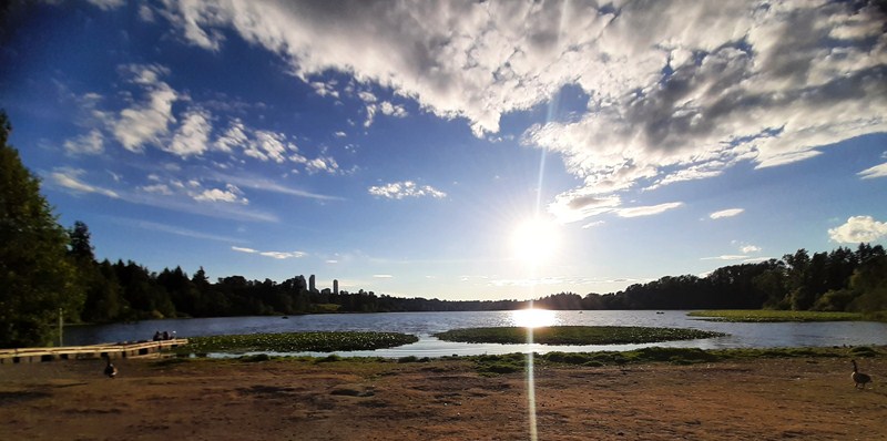
Sunset over Deer Lake

Deer Lake Park: 5435 Sperling Ave., Burnaby, British Columbia V5E 2L8.  Tel: (604) 294-7450.

How to Get There: From Vancouver, take Highway 1 east. Use exit 33 to Kensington Avenue. Turn left on Canada Way. then right on Sperling. There are several options for parking. Continue on Sperling for another block to a large parking area. Or turn right onto Deer Lake Avenue. This road runs through the east side of the park and leads to parking areas on the southeast shore of Deer Lake next to the Burnaby Village Museum, the Shadbolt Centre for the Arts, and the Burnaby Art Gallery.  This map shows the parking areas noted below. The Shadbolt Centre for the Arts, Burnaby Art Gallery and Burnaby Village Museum parking lots are accessible from Deer Lake Ave. There is a parking lot on the west side of the park off Royal Oak Ave.  Parking isn’t permitted in the residential areas around Deer Lake Park.  Parking lots close at 10 PM every night.  Get directions or visit TransLink Trip Planner.

Deer Lake Rentals: Website: www.deerlakeboatrentals.com. Tel:  604-839-3949.

  • Kayak Charges: 1-person kayak ($16.07 plus taxes per hour, maximum total weight should be 350 lbs. or 160 kgs.), 2-person kayak ($19.64 plus taxes per hour, maximum total weight should be 450 lbs. or 205 kgs.)
  • Rowboat & Canoe Charges: 2-person rowboat ($19.64 plus taxes per hour, maximum total weight should be 400 lbs. or 180 kgs.), 2-3-person canoe ($19.64 plus taxes per hour, maximum total weight should be 500 lbs. or 230 kgs.), 4-person canoe ($31.25 plus taxes per hour, maximum total weight should be 850 lbs. or 390 kgs.)
  • Pedal Boat Charges: 2-person pedal boat ($19.64 plus taxes per hour, maximum total weight should be 600 lbs. or 270 kgs.), 4-person pedal boat $31.25 plus taxes per hour, maximum total weight should be 850 lbs. or 390 kgs.)

Dry bag rental is $1 per hour.  Last rental is 1 hour before sunset. The last 1.2 hr rental is 1/2 hour before sunset.

Bulusan Lake Eco-Tourism Center (Sorsogon)

Bulusan Lake Eco-Tourism Center

Part of Sorsogon Countryside Tour

After our short stopover at Casiguran Settlement, we again boarded our coaster for the hour-long, 3.4 km. drive to Bulusan Lake in Bulusan town.  This would be my second visit to the lake, the first over ten years ago (June 26, 2012). Upon arrival, I was surprised by how much the park has improved since my first visit.

Check out “Casiguran Settlement” and “Eco-Friendly Kayaking at Lake Bulusan”

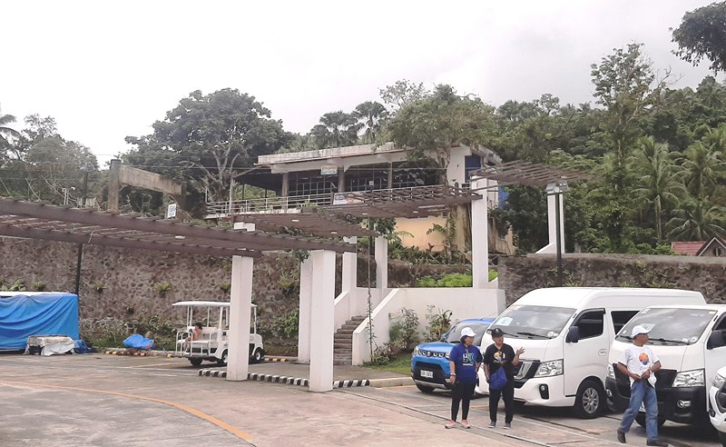
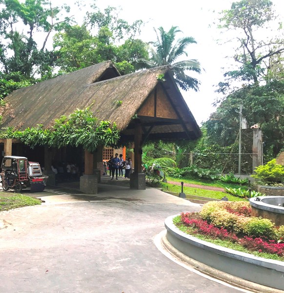
The new facilities include a 1,002.5-square meter, Php60 million Bulusan Lake Eco-Tourism Center to cater to tourists, with a road network and parking area.  Inaugurated, after a massive two-year restoration and rehabilitation, last March 5, 2022 by then Gov. Francis “Chiz” Escudero and Bulusan Mayor Michael Guysayko (with DOT Regional Director Herbie Aguas , DENR Bicol Director Francisco Milla, Jr. and other officials in attendance),  it is accredited by the Department of Tourism as a Tourism Recreation Center.

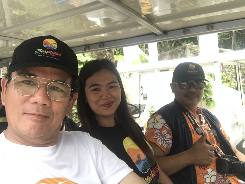
The author (left) on an E-jeep

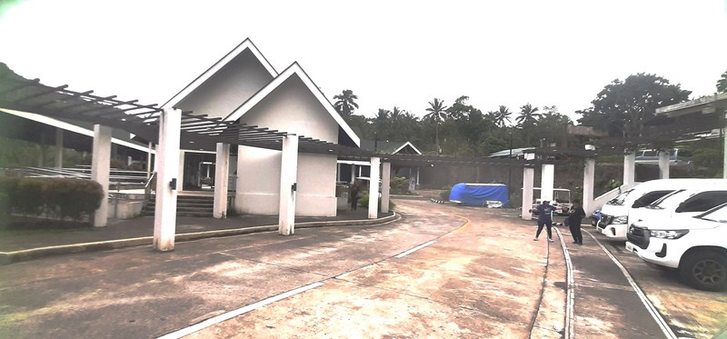
The center has a registration booth, an alfresco coffee shop and a restaurant called Sagurong Restaurant, a spa massage spa, and a souvenir shop where one can buy pasalubong including local arts and crafts.

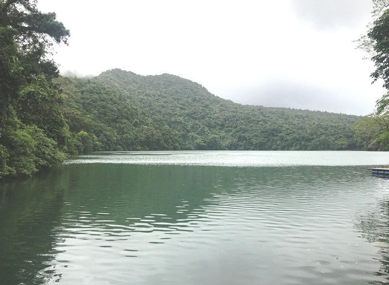
Lake Bulusan


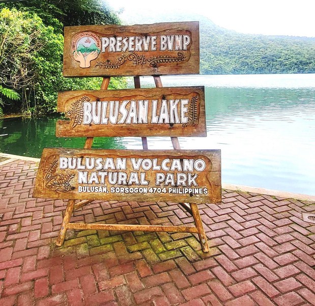
Our coaster as well as other private vehicles are not allowed to enter the park so, from the Ecotourism Center, we all boarded e-jeeps (there are three available) that took us to the entrance to Bulusan Volcano National Park (dubbed as the “Switzerland of the Orient”), a 3,672-hectare protected landscape located at an elevation of 635 m. on the southeast flank of Mount Bulusan, an active stratovolcano, where Bulusan Lake, a small. Round crater lake, is nestled within.

For those who prefer to walk, the lake is a 20-30-min. hike. The natural park is also home to the Bulusan Eco-Adventours, which was launched coinciding with the blessing and inauguration of the tourism center.

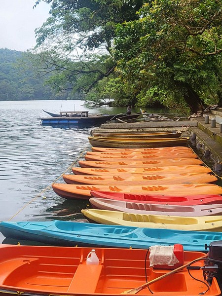
Single and tandem kayaks for rent

The lake remained as peaceful and beautiful as I remembered it to be.  Aside from Lake Bulusan, the park also covers Lakes(Aguingay (where water accumulates during the rainy season) and Blackbird (found at the mountain’s crater) and its rainforests are home to endemic flora and fauna.

The upper view deck

Flora include the Forestia philippensis, Pinanga insignis and the newly discovered Schefflina bulusanicum (an aquatic plant) and Pronephrium bulusanicum (a type of fern); jade vine (Stronglylodon macrobothrys); ground orchids (Phojus tankervillea); tall, centuries-old tindalo (Afzeliarrhomboidea) trees and mountain agoho (Casuarina rumphiana).

Food bar and dining hall

Fauna found here include the Luzon Hornbill, Philippine Fairy Bluebird, Philippine Warty Pig, South Luzon Cloud Rat Spotted Wood Kingfisher, Philippine Frogmouth, etc.).

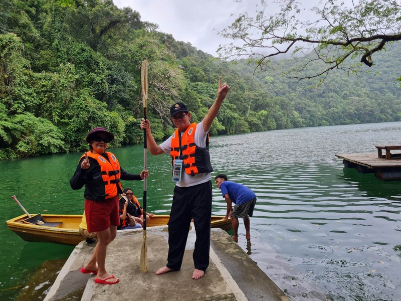
Imelda and I all suited up and ready to go kayaking….. (photo: Mr. Marlon Atun)

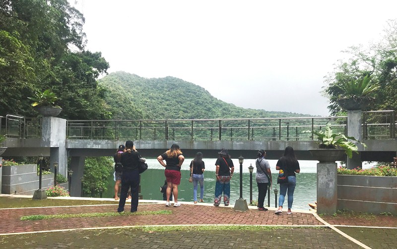
Multipurpose facilities were built near Bulusan Lake. They include a food bar or dining area with comfort rooms and ramps, waiting shed, souvenir shop, ticket booth and queue sheds.  However, its main feature was an upper view deck overlooking the lake which offers an overview of the lake and its surrounding mountains.

On our way…. ((photo: Mr. Marlon Atun)

Bulusan Lake was still a sight to behold. This emerald-green, still lake spans 16 hectares and is 33 m. deep.  As in the past, the best way to appreciate the beauty of the lake is to take a boat ride on the emerald green water.

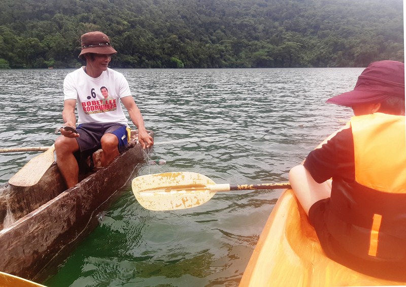
Meeting up with a local fisherman

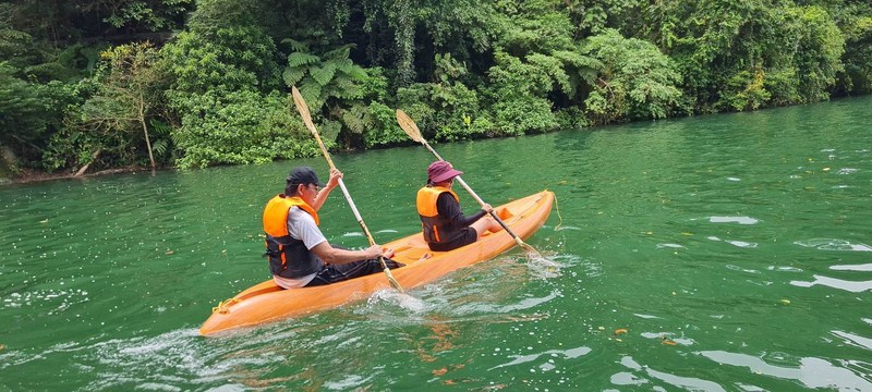
While the others enjoyed the surrounding from the park’s viewing deck, I geared up and rented kayak.  Five others rented a boat paddled by a guide.  Joining me at my two-seater kayak was fellow senior citizen Ms. Maria Imelda Favi. It was a tiring yet peaceful activity as we paddled our way around the lake, admiring the scenic and lush view of the surrounding rainforest.  In the middle of the lake, we met up with a local fishing for tilapia on his banca.  Check out our kayaking video here.

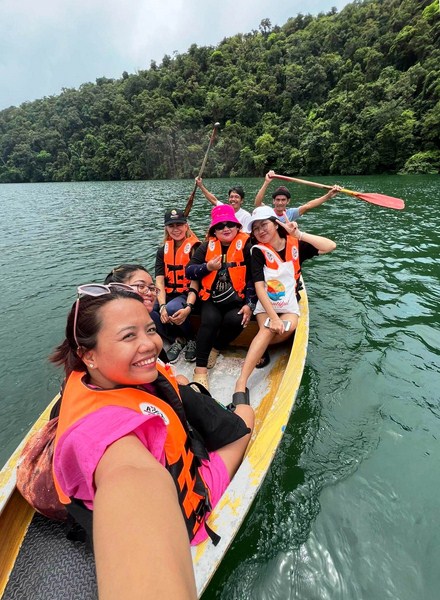
Paddle boating at the lake (photo: Ms. Joan April Chang)

Aside from boat riding, you can also try fishing and stand up paddleboarding.   You can also take a leisurely walk along the perimeter of the lake where the guides can help in pointing out interesting flora and fauna.

Bulusan Lake Ecotourism Center: Brgy. San Roque, Bulusan, Sorsogon.  Mobile number: (090) 505-0988. Facebook: www.facebook.com/bulusanlake  and www.facebook.com/ExploreBulusan.

Admission: Php50 (adults), Php25 (student or Bulusan resident with valid ID) and free (senior citizen and PWD with valid ID).  Environmental fee: Php10.  Shuttle service: Php35. Eco-guides fee: Php150/hr.  Massage: Php250. Paddling guide for kayak and stand up paddleboading: Php100. Trekking: Php10/pax.  Boating: Php00 for five pax, inclusive of two paddlers.

Parking fees: Php20 (motorcycles), Php30 (tricycle), Php50 (cars/SUV), Php60 (jeepney/coaster), Php70 (truck) and Php150 (bus)

How to Get There: Bulusan is located 557.3 kms. (a 13-hr. drive  via Pan Philippine Highway/AH26) from Manila and 44.5 kms. (a 55-min. drive) via the Junction Abuyog-Gubat-Ariman Rd., from Sorsogon City. From Sorsogon City, ride a jeep bound for Bulusan (1 hour). Then charter a tricycle to Bulusan Lake (about 15-20 minutes).

Sorsogon Provincial Tourism Culture and Arts Office: Ground Floor, Capitol Building, 4700 Sorsogon City. Mobile number: (0968) 624-6279. E-mail: tourism@sorsogon.gov.ph.  Facebook: www.facebook.com/sorsogonprovincialtourismoffice.

Bulusan Municipal Tourism Office: www.facebook.com/ExploreBulusan.

Ur Place Travel & Tours: OLV Pangpang, Sorsogon City, Sorsogon.  Mobile number (Viber): (0927) 950-3927 (Ms. Annie Gueb).  Facebook: www.facebook.com/urplacetravel.

Cultus Lake Provincial Park (British Columbia, Canada)

Cultus Lake Provincial Park

On our 20th day in Canada, Grace, Jandy, Bryan, Cheska, Kyle and I were invited to join a family picnic hosted by our Vancouver friends Nene and Lito Del Rosario, with their children, sons-in-law, grandchildren and family friends, to be held at the 656-hectare Cultus Lake, one of the most popular destination areas in the Lower Mainland.

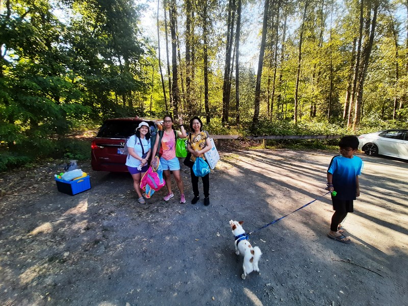
Tintin Del Rosario-Legaspi, Grace, Cheska and Kyle with our dog Luffy

We were picked up at Burnaby by Jullius and Tintin Legaspi, son-in-law and daughter, respectively, of Lito and Nene.  The 91.3-km. drive, via the Trans-Canada Highway/BC-1 E, took almost 1.5 hours. From the Trans-Canada Highway, we turned at the Yarrow (you can also turn at the Sardis Exit) Exit and drove a further 16 kms., along the Columbia Valley Highway, which lead directly into the park.

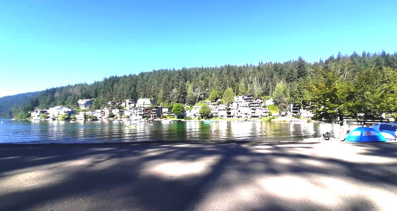
The Cultus Lake community

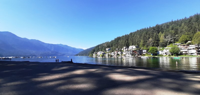
The placid Cultus Lake,  the source of the Sweltzer River, is a large, warm freshwater lake within a 2,729-hectare provincial park amidst scenic forest-clad Skagit Mountain Range in the Fraser Valley region of southern British Columbia.

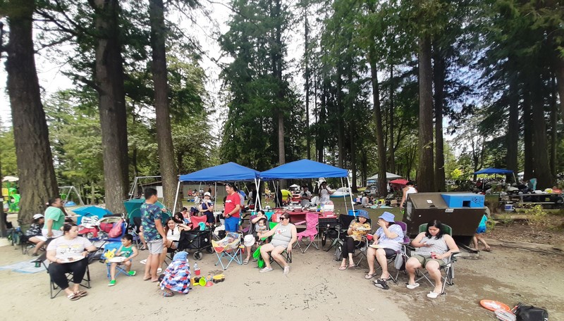
Our picnic spot

At one time, the lake had a sawmill and booming ground until it became a provincial park on February 10, 1948. Cultus Lake, an important place for spirit quests of the Sto:lo people, was named with the Chinook Jargon word meaning primarily “bad,” “worthless” or “good for nothing,” though the same word can also mean “free,” “without purpose” or simply “nothing.”

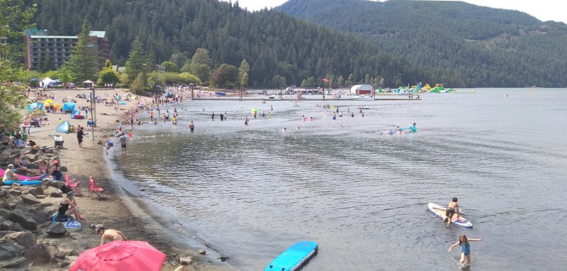
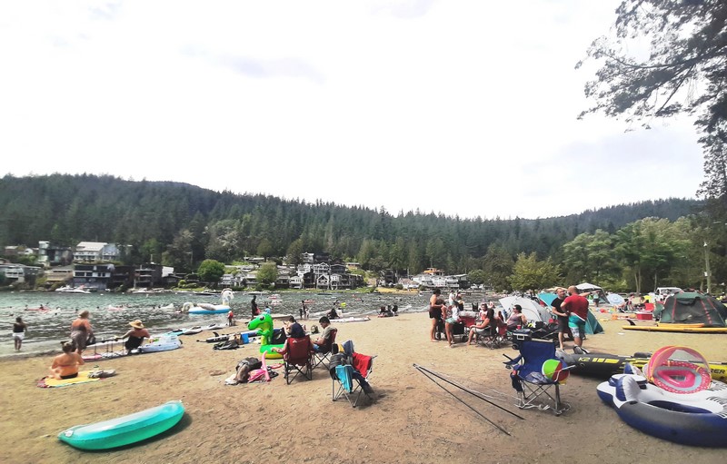
The packed Main Beach

The wildly popular, generally calm lake is located 11 kms. (6.8 mi.) south of the Chilliwack River, near the city of Chilliwack and approximately 80 kms. (50 mi.) east of Vancouver.  The park is almost evenly divided between the mostly undeveloped northwest and the visitor-oriented facilities confined to the southeast sides of Cultus Lake.

Children’s playground, well within eye and ear shot to all the picnic tables, where kids can play while parents relax and enjoy lakeside lounging

The area, a popular recreation destination, has four campgrounds (Clear Creek, Delta Grove, Entrance Bay and Maple Bay) managed by British Columbia Parks/Sea to Sky Park Services in the area (in addition to a few privately-owned campgrounds), a large day-use area for swimming, picnicking and boating, and ample opportunities for fishing, water skiing, wind surfing, wakesurfing, kayaking, standup paddle-boarding and hiking.

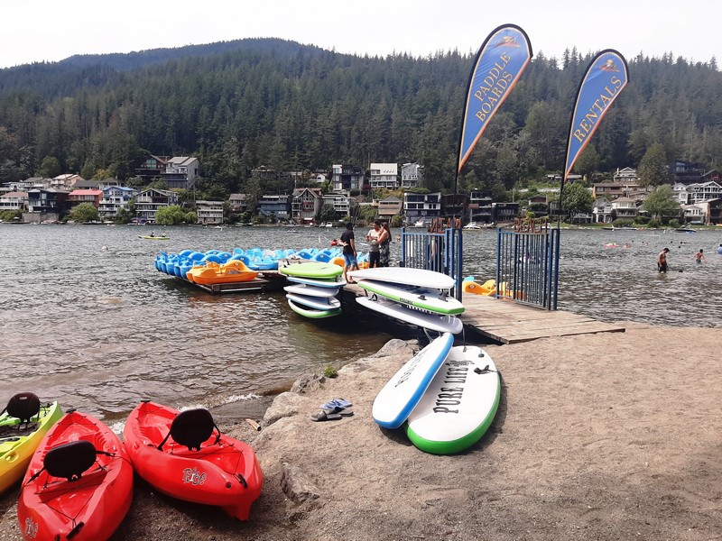
Paddle boat, paddle board and kayak rental shop

As we visited during August 1, British Columbia Day (a public holiday), the tiny associated resort community of about 1,100 people grew considerably in size as folks like us flocked to the region to enjoy the lake, park and the area’s numerous outdoor activities.

The path leading to Jade Bay

The water, the picturesque views and the sandy beaches are what feed the park’s popularity during the warmer and busy summer months.  However, in the off season, it gets pretty quiet.

Paddle boats, paddle boards and kayaks for rent

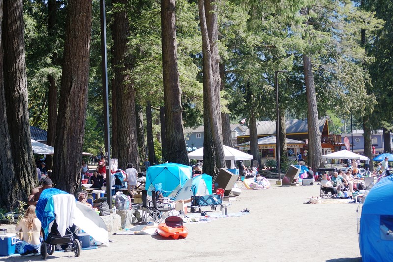
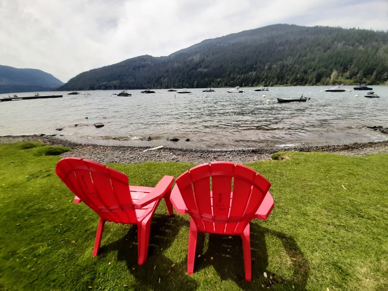
As we arrived early in the morning at the Entrance Bay Campsite, we had first choice among a plethora of picnic tables in an expansive, flat grassy field offering plenty of shade from tall Douglas fir trees.  Nearby was a small children’s playground; toilet and changing facilities and a quick public boat launch.

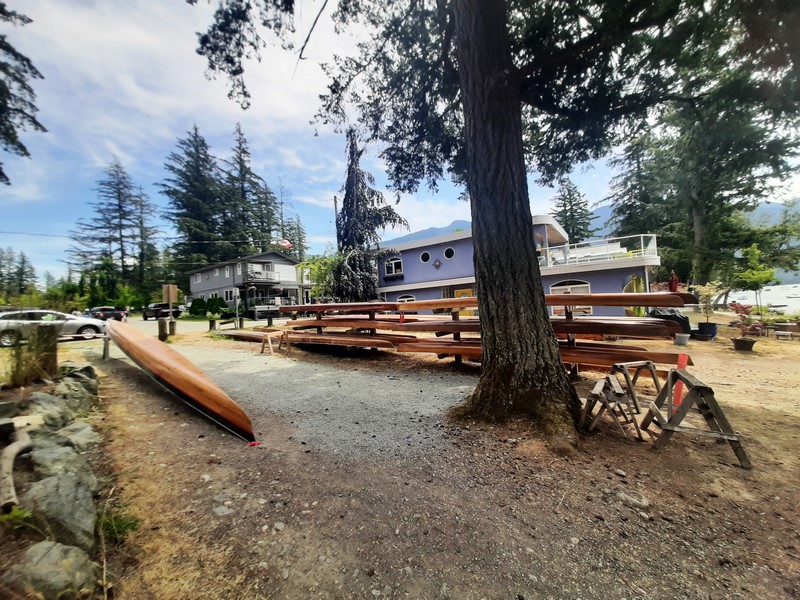
I am guessing these are sculls

Our late breakfast was homemade pan de sal with spam and scrambled eggs while lunch was to be grilled pork liempo, hotdog and fish; igado (an Ilocano pork and liver stew), fried chicken and fried wonton.  For dessert, we had fried turon (banana lumpia).

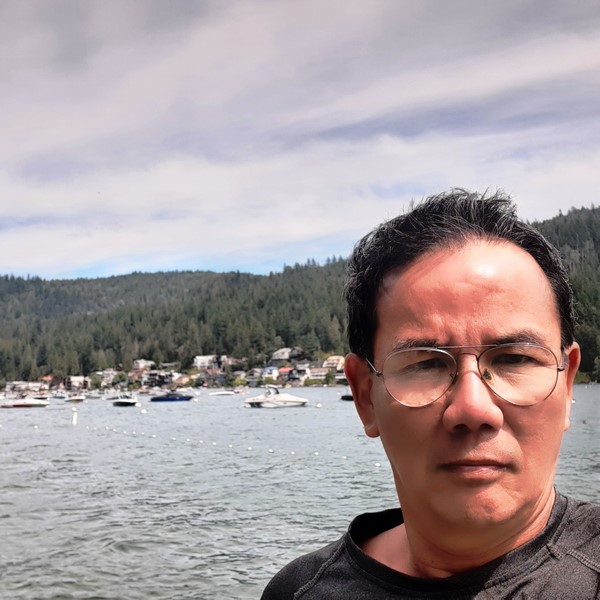
The author taking a hike along Cultus Lake

After lunch, I tried to burn the calories by hiking all the way down to Jade Bay which is easily accessible from our campsite.  It laso has additional bathrooms and a boat ramp.

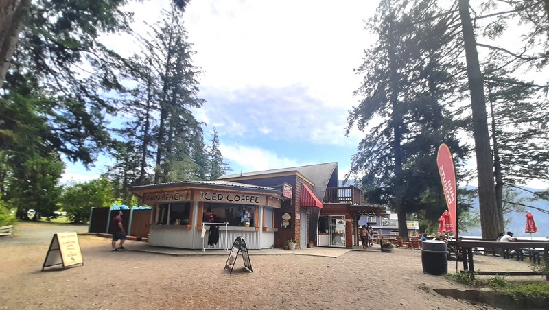
Main Beach Iced Coffee

The broad, roped-off swimming area had a long, pebbly and gently sloping beach with clear waters ideal for the kids. Our hosts brought along their inflatable stand-up paddle boards and kayak plus a unicorn-shaped party island for the kids. Jandy and I, as well as the others, tried kayaking.

By lunchtime, the area soon filled up with vacationers and, by late afternoon, the winds grew stronger and the waters choppy, making stand-up paddle-boarding almost an impossibility. Still, nothing can erase the enjoyment of the children as they frolicked along the beach.

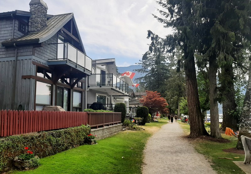
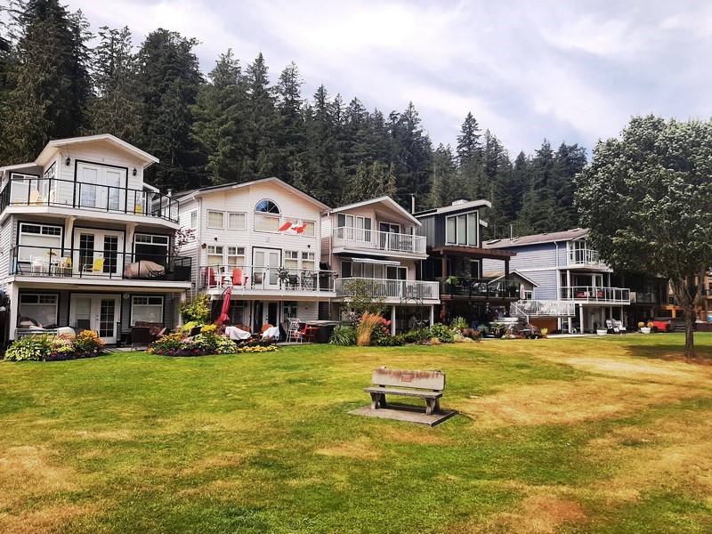
Luxury lakeshore homes

Nearby is the fairly modern Cultus Lake Adventure Park (opened in July 2014 as the expansion of Giggle Ridge Adventure Golf, it has 18 rides and attractions) and also in the area is the Cultus Lake Waterpark and the scenic 18-hole Cultus Lake Golf Club.

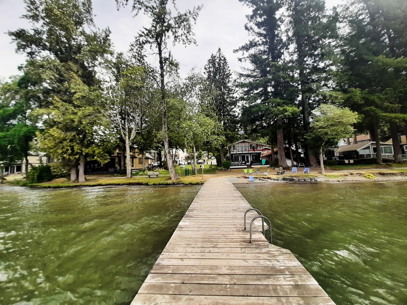
A public boat launch

Cultus Lake Provincial Park: British Columbia, Canada. All four campsites are open from April to mid-October and offer free hot showers and flush toilets.  Parking is free throughout the provincial park, but not at Main Beach. Tel: (604) 986-9371.