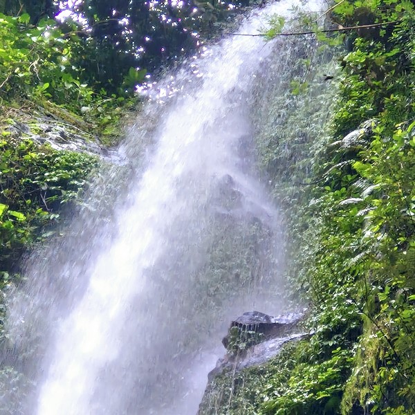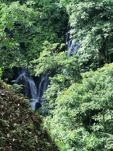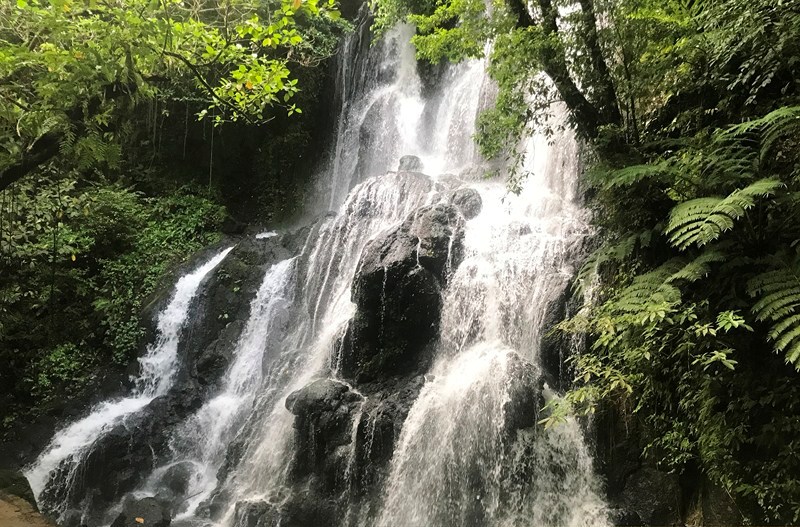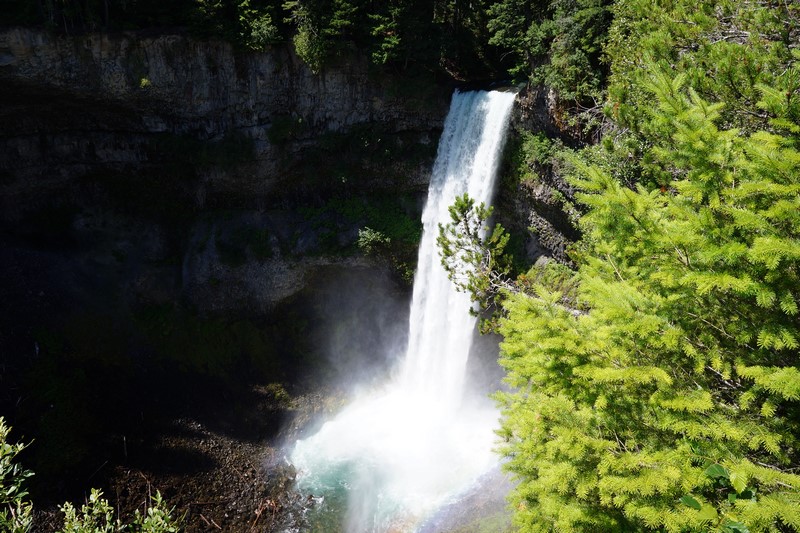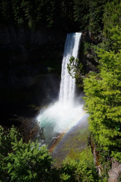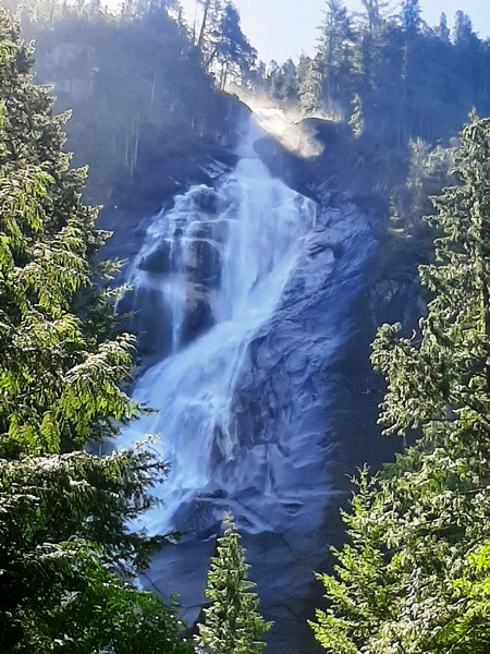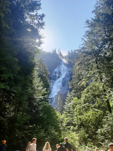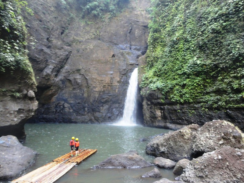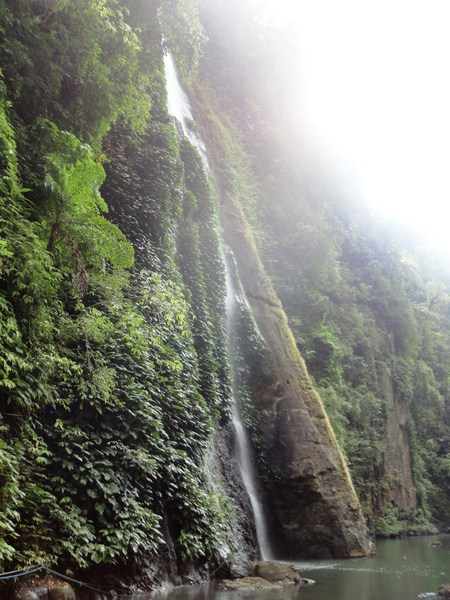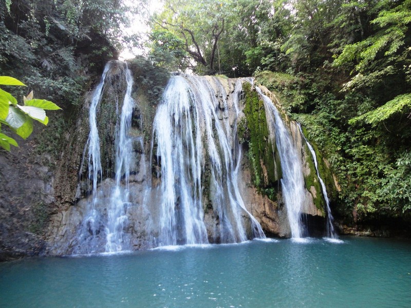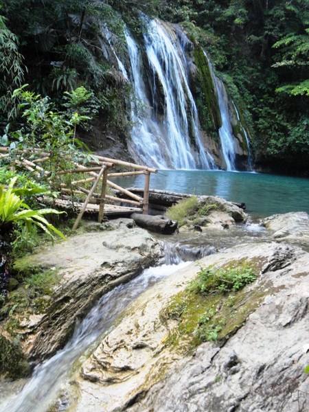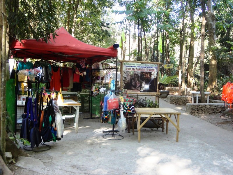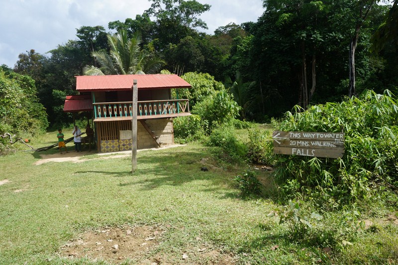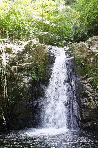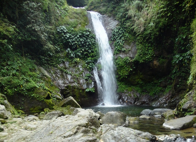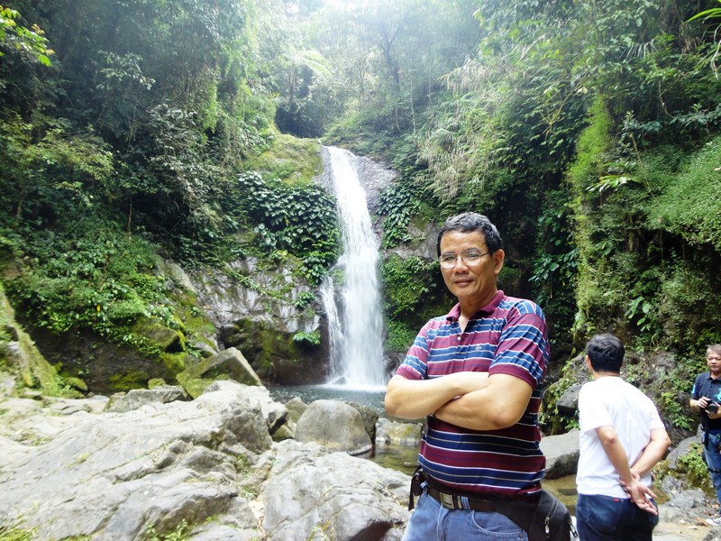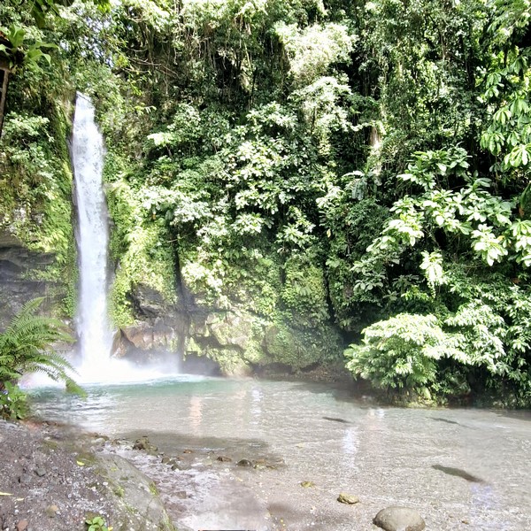
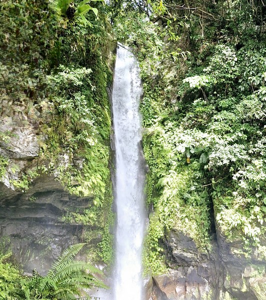
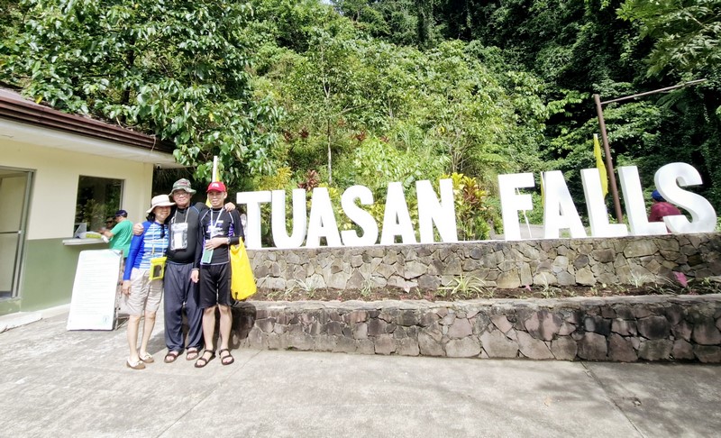
Tuasan Falls
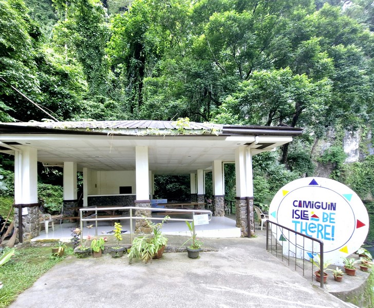
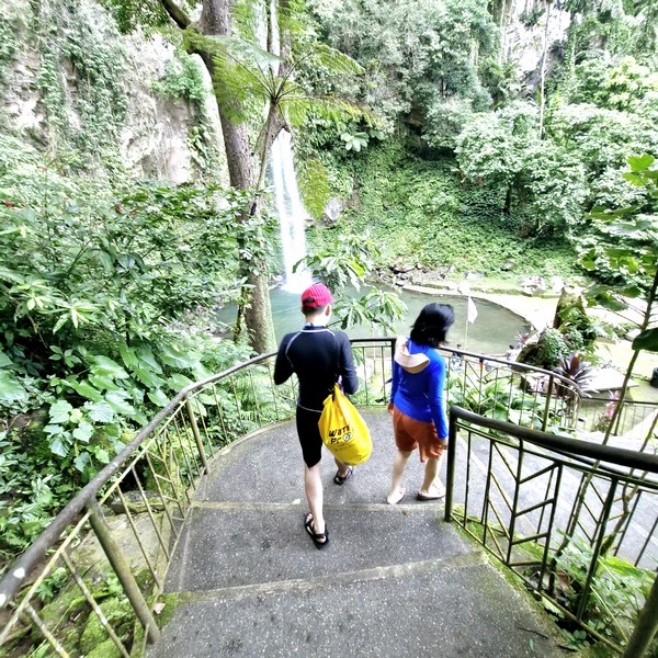
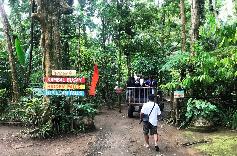
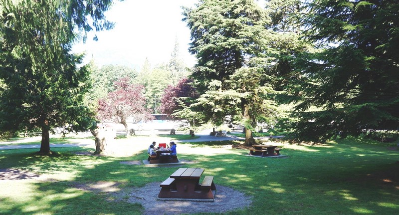
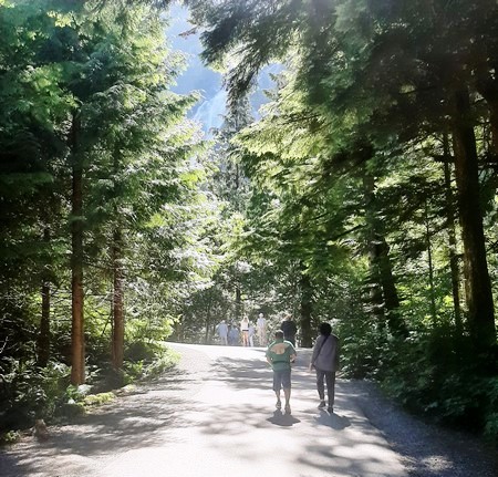
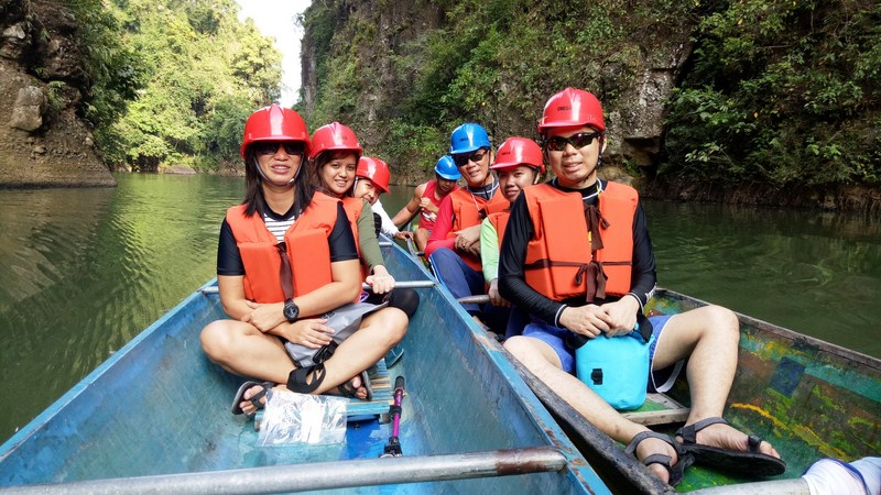
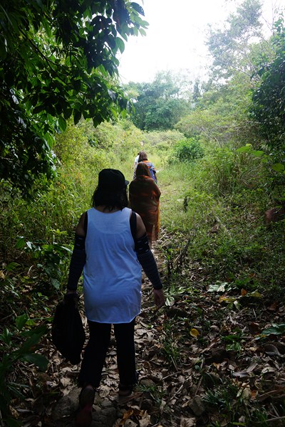
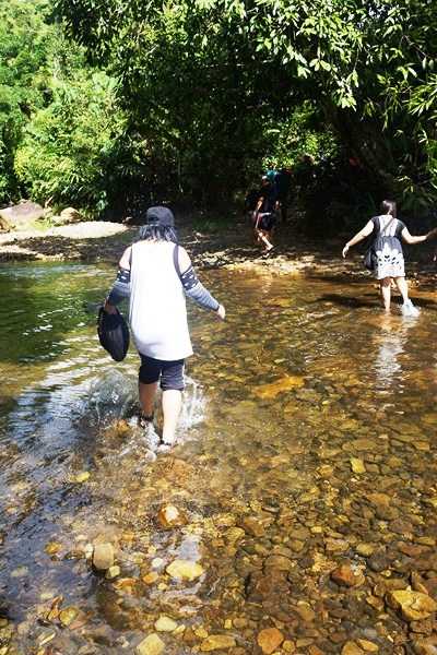
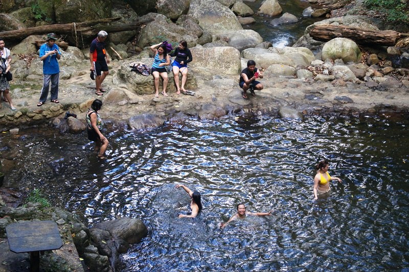
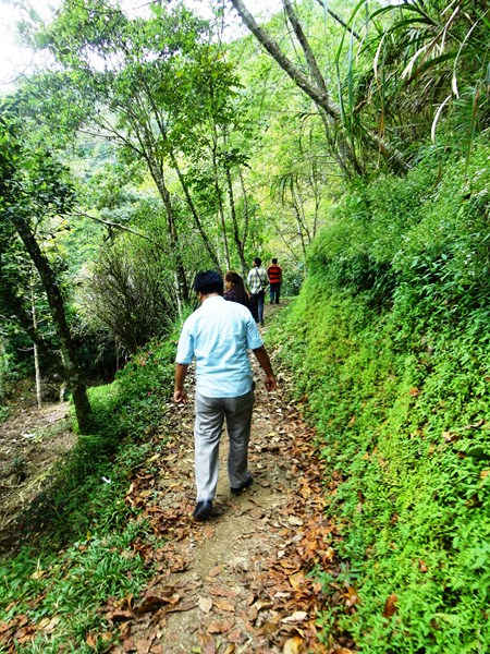
After lunch and swimming at Bura Soda Water Pool, we gain boarded our multicab for the 6.5-m. (20-min.) drive to the beautiful 25-m. high Tuasan Falls. Though Jandy and I visited Camiguin in 2001, this would be our first visit to the falls. The falls is just a few steps away from the entrance which has a huge parking lot, comfort and changing rooms and picnic tables.
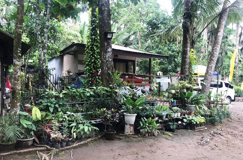
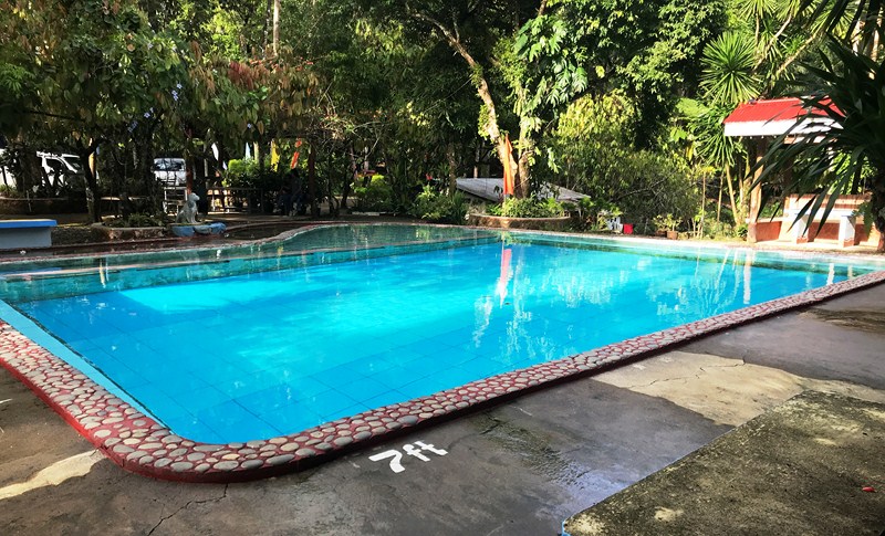
Check out “Bura Soda Water Pool”
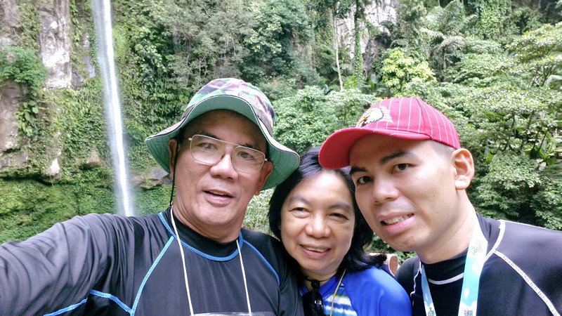
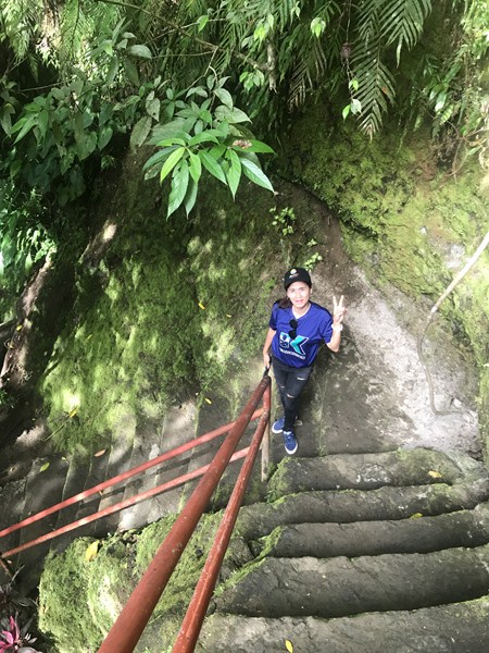
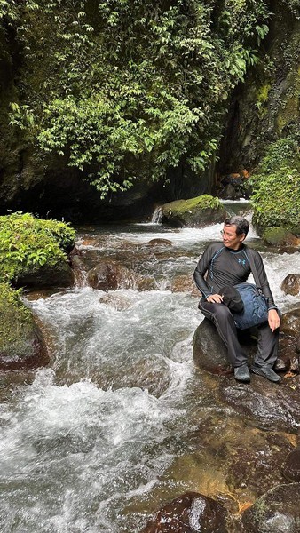
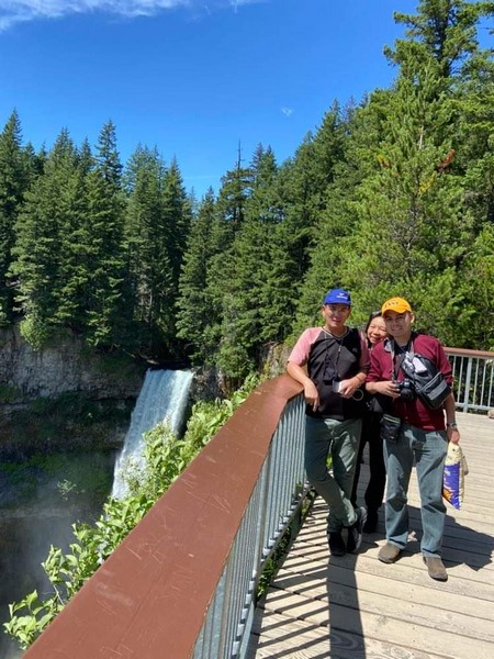
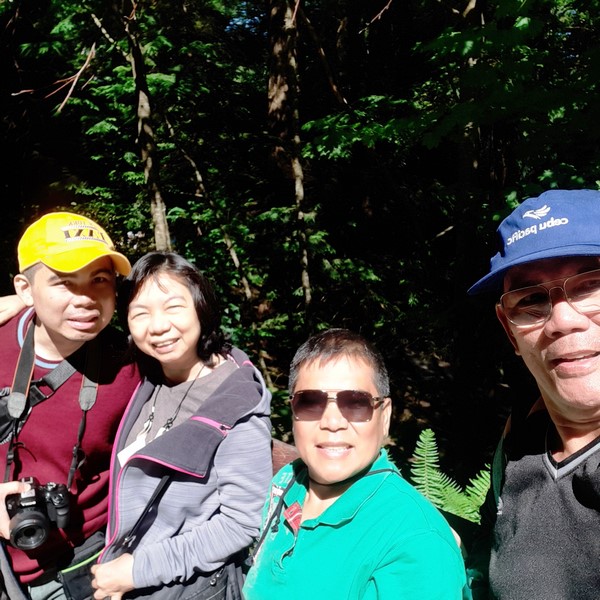
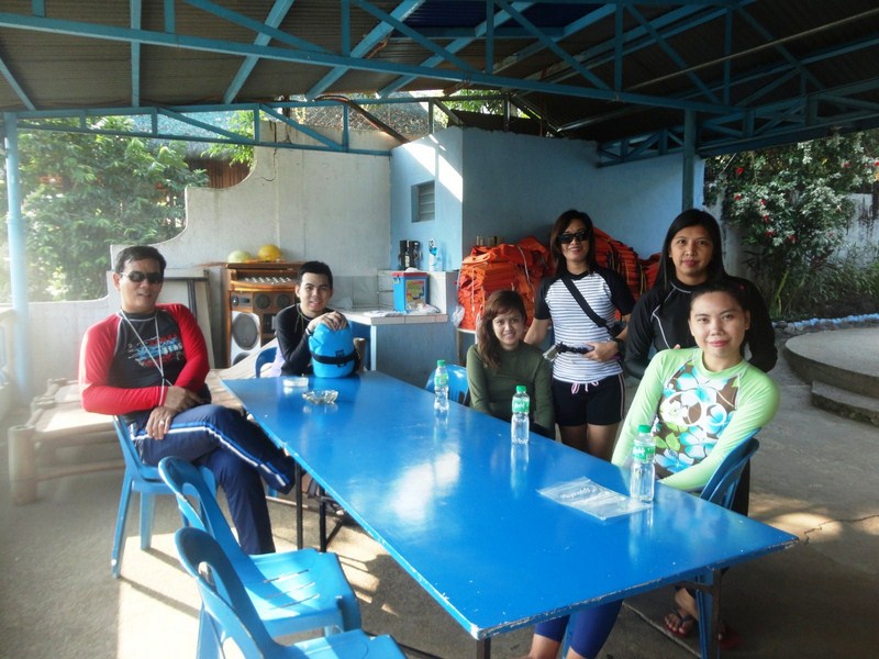
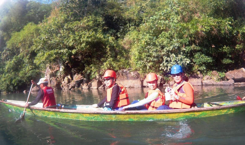
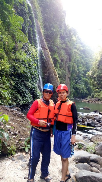
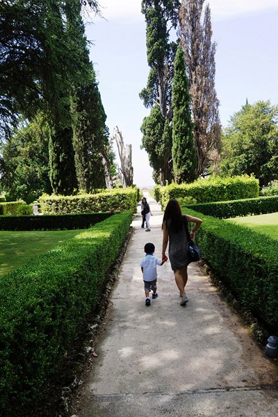
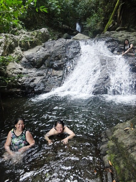
L-R: Grace, the author and Jandy
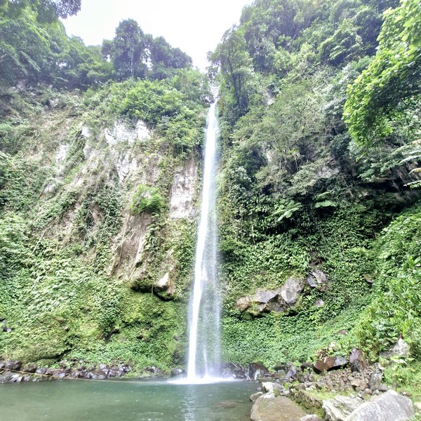
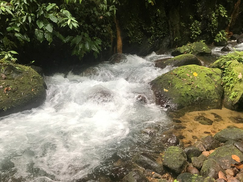
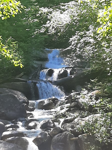
Though much shorter than the more popular and more crowded Katibawasan Falls, it is potential source of mini-hydro-electric power due to its impressive water flow.
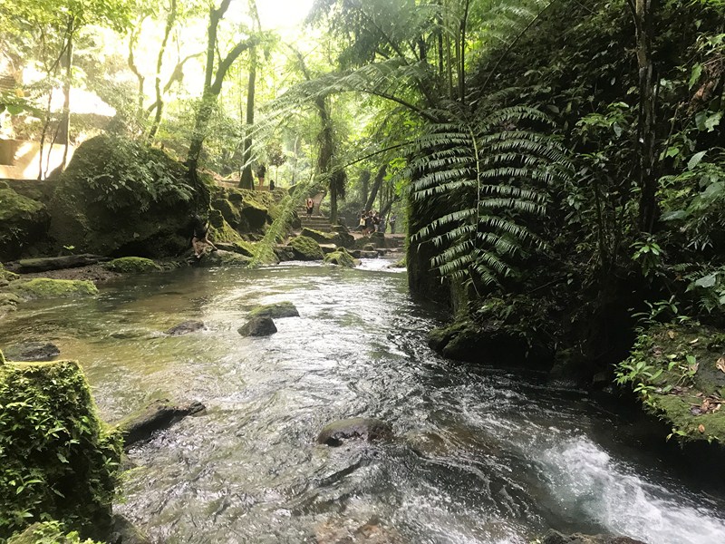
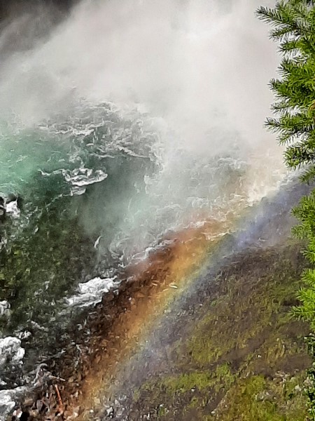
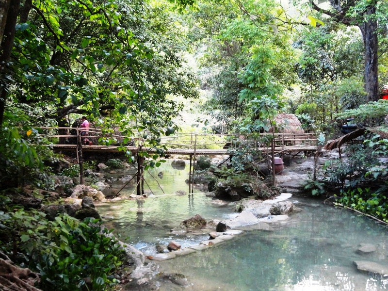
This single-drop waterfall is surrounded by lush greenery and has two natural pools, with crystal clear waters, at its base.
Check out “Katibawasan Falls”
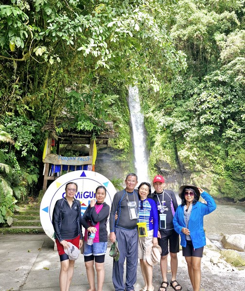
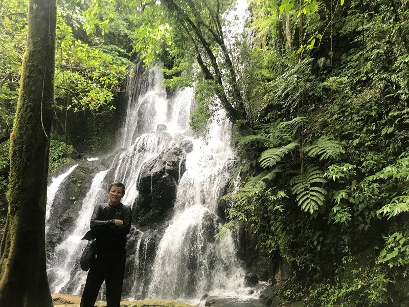
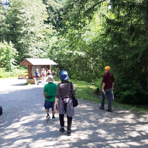
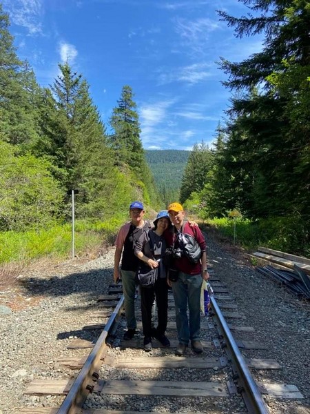
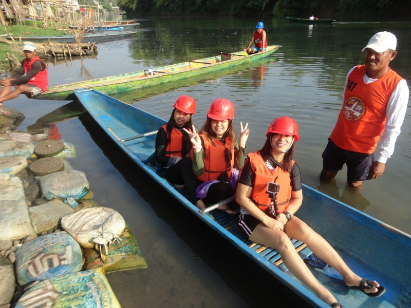
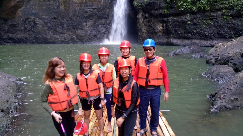
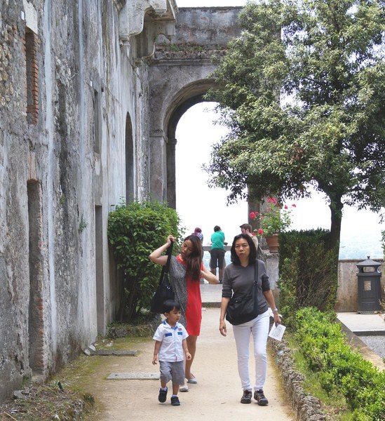
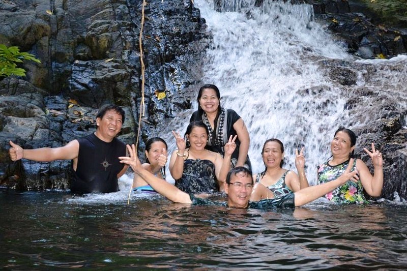
L-R: Lourdes, Lorraine, the author, Grace, Jandy and Gelyn
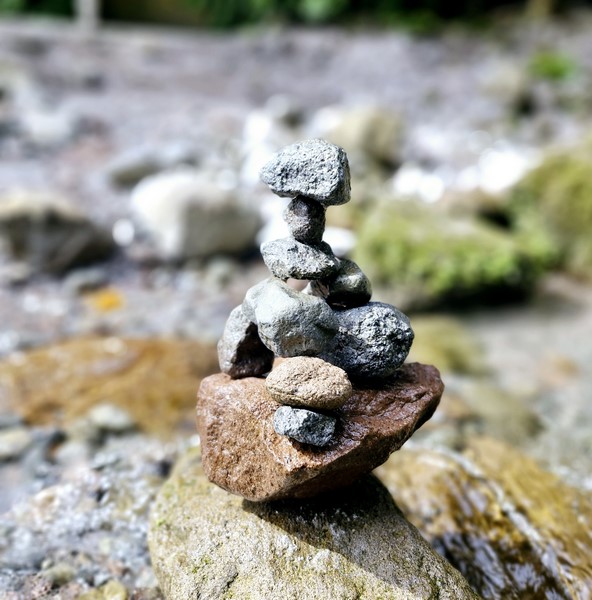
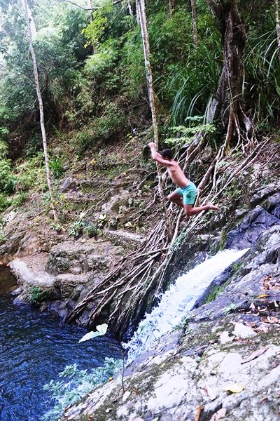
Rock pile art at the falls
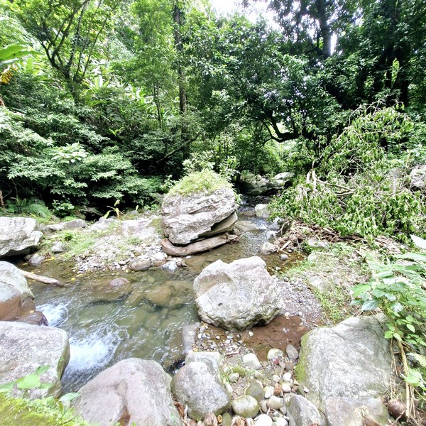
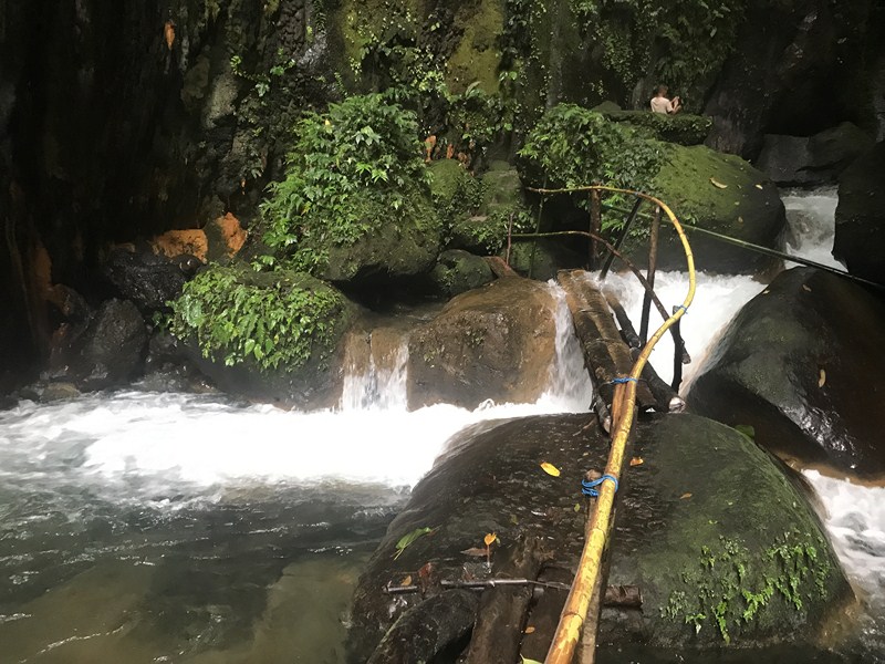
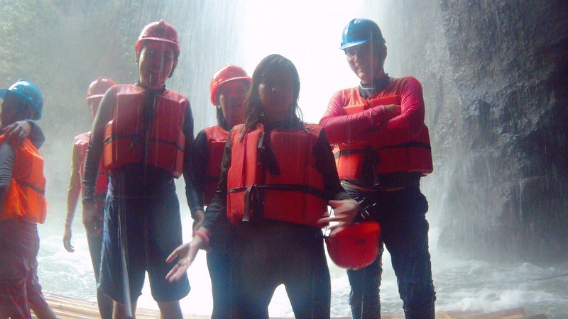
Just like Katibawasan Falls, the pool nearest to the base of the fall has been cordoned off with a rope due to the danger of falling rocks.
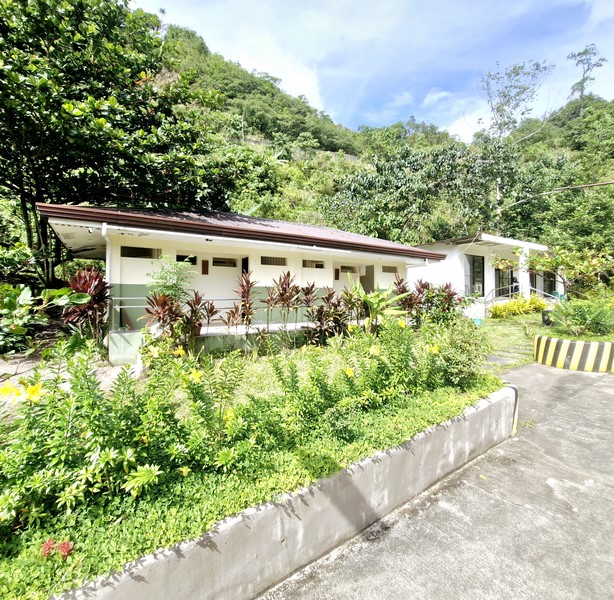
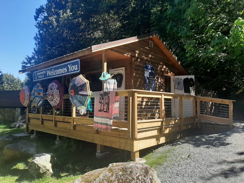
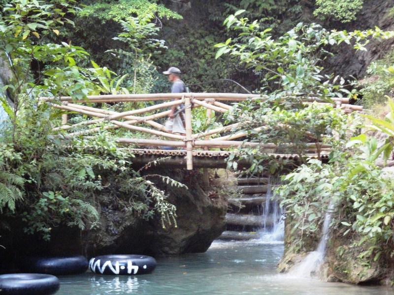
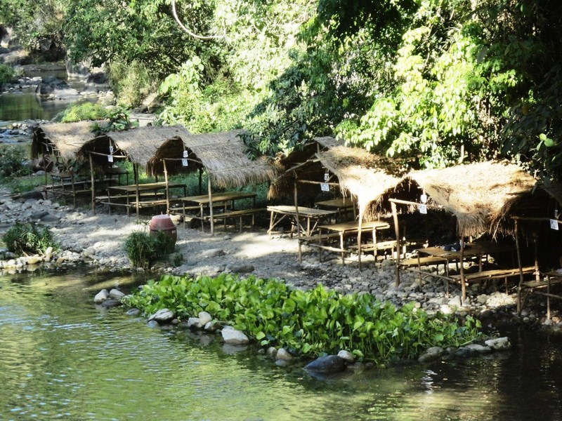
Resthouse with toilets and changing rooms
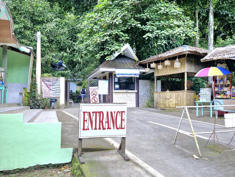
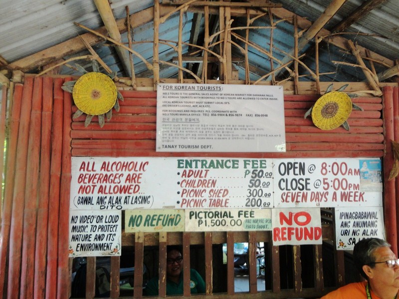
Tuasan Falls: Brgy. Mainit, Catarman. Admission: Php50/pax. Open daily, 7 AM to 5 PM.
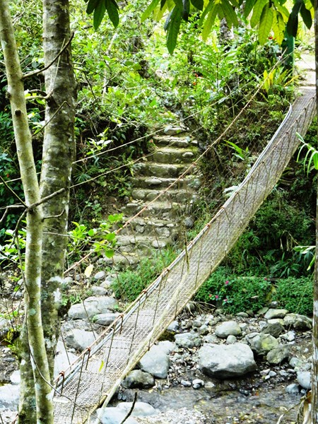
How to Get There: The fall is located some 6 kms. northwest of the town and 4 kms. from the ring road.