
.jpg) |
| Guiguinto Welcome Arch |
This day, Jandy and I planned to stay overnight at the DJ Paradise Resort and Hotel in Malolos City. However, instead of using the faster but monotonous North Luzon Expressway (and entering Malolos via the Tabang Exit), I plan to leisurely traversed the length of the more interesting but traffic-laden MacArthur Highway to get to Malolos City. Formerly called the Manila North Road, this old, 2 to 6-lane highway was named after Lt.-Gen. Arthur MacArthur, not after Gen. Douglas MacArthur, his more famous son, as I previously thought.
.jpg) |
| Valenzuela City Hall |
The highway starts from the Bonifacio Monument in Grace Park, Caloocan City and extends through the Central Luzon provinces of Bulacan, Pampanga and Tarlac up to the Ilocos Region provinces of La Union and OPangasinan. I entered it at Valenzuela City, a former Bulacan town that is now a city and part of Metro Manila. Here, we made a short stopover at its city hall.
 |
| Balagtas Public Market |
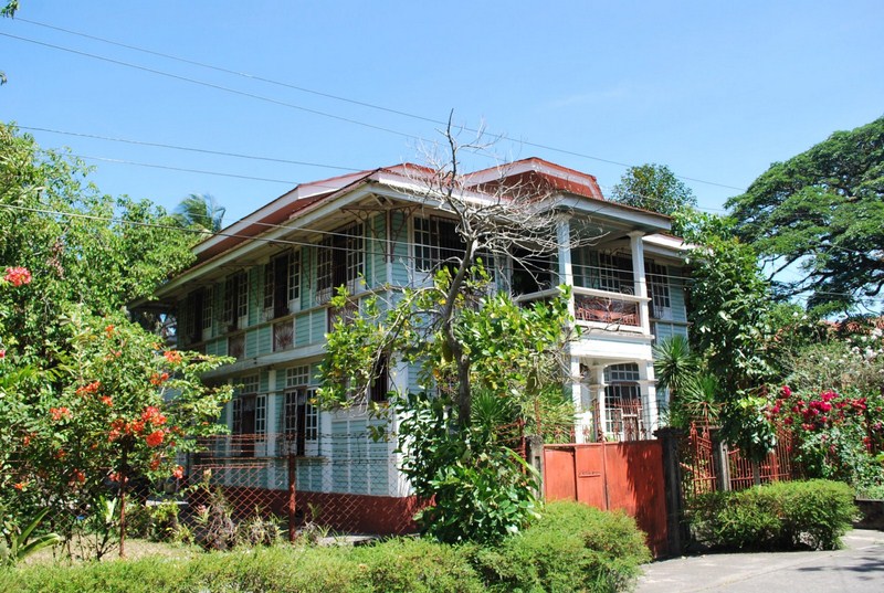
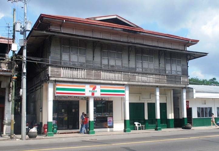
From the city, we now entered the province of Bulacan, absorbing the rural and urban feel of a number of Bulacan towns (Marilao, Bocaue, Balagtas and Guiguinto) and Meycauayan City along the way. The highway is not as smooth as the newer NLEX and can be sometimes chaotic as you vie for road space with buses and the slower tricycles and jeepneys. However, here you drive underneath a canopy of trees and the roadside scenery is more charming.
.jpg) |
| MacArthur Highway at Meycauayan City |


.JPG)
.jpg)

.jpg)
.jpg)
.jpg)
.jpg)
.jpg)
.jpg)
.jpg)
.jpg)

.jpg)
.jpg)
.jpg)
.jpg)
.jpg)


.JPG)
.jpg)
.jpg)
.jpg)