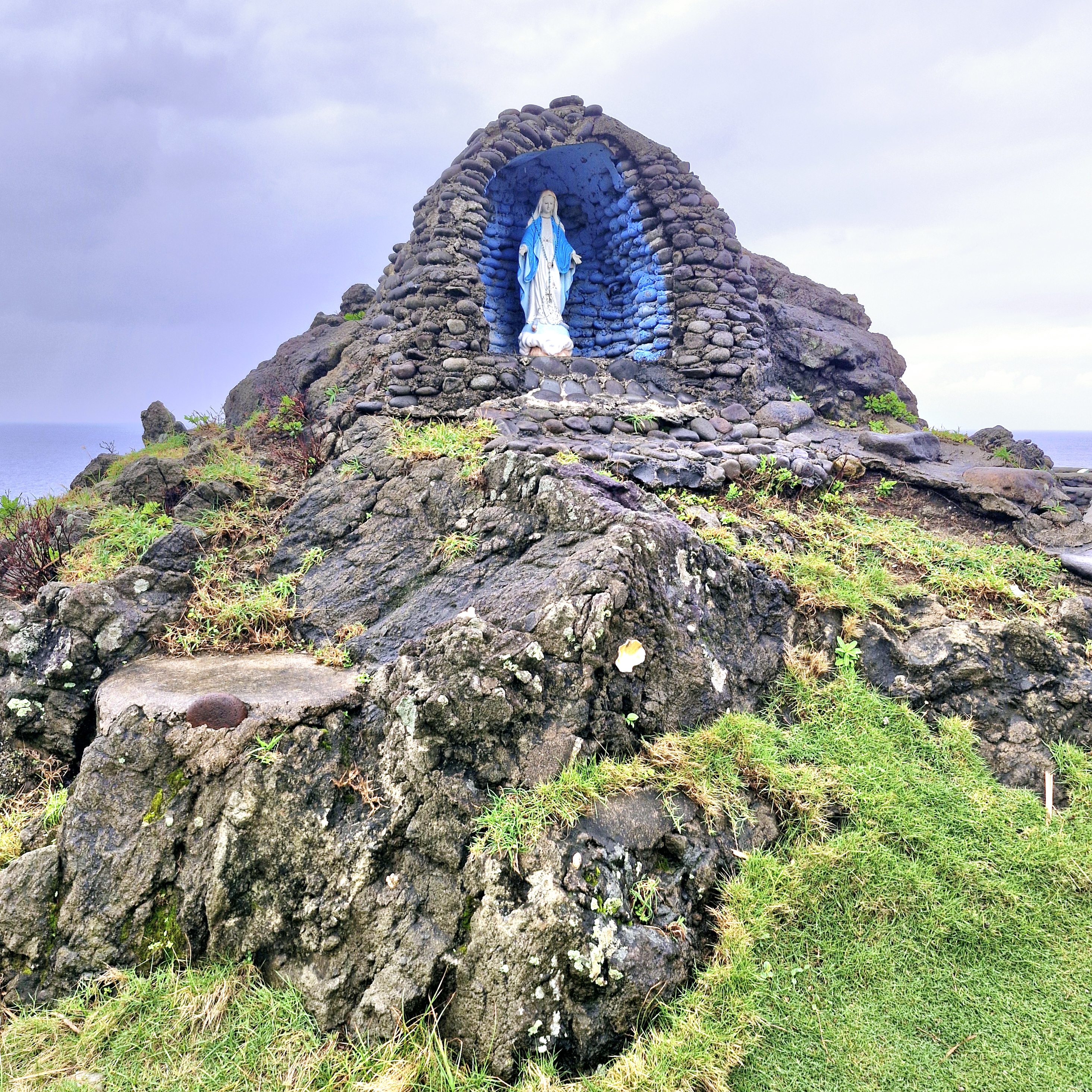
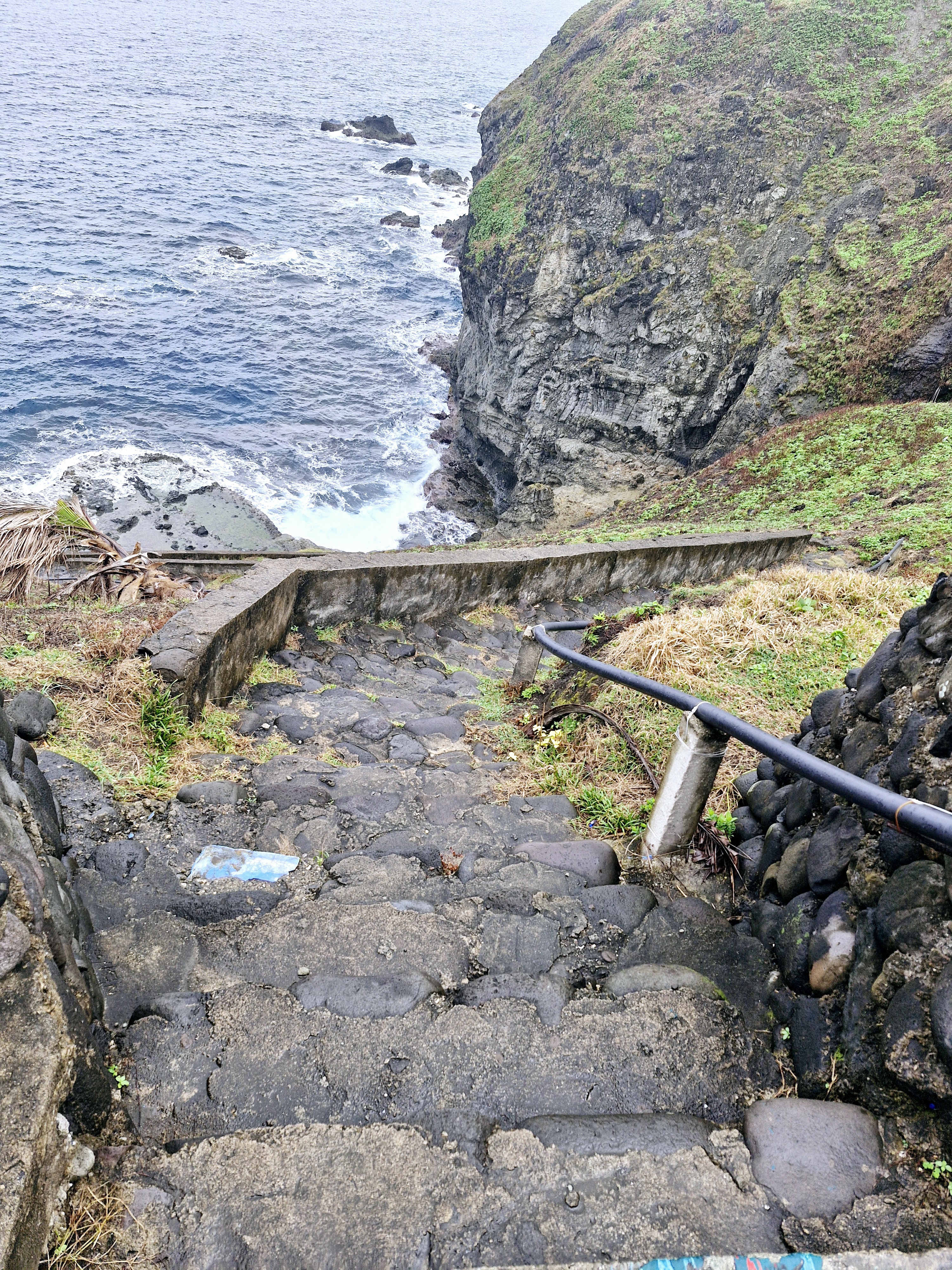
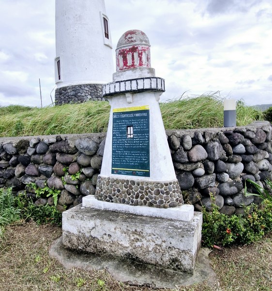
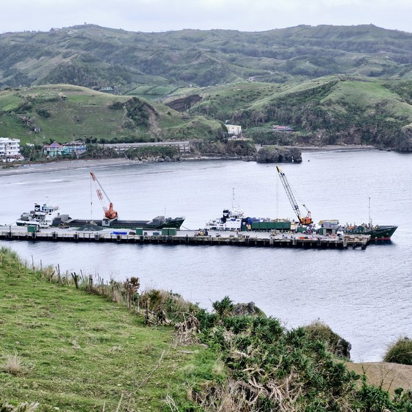
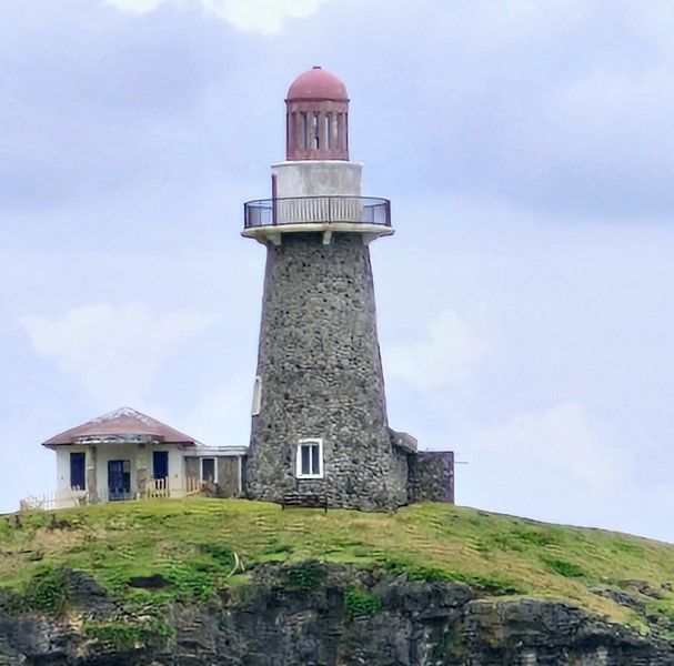
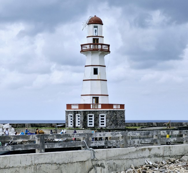
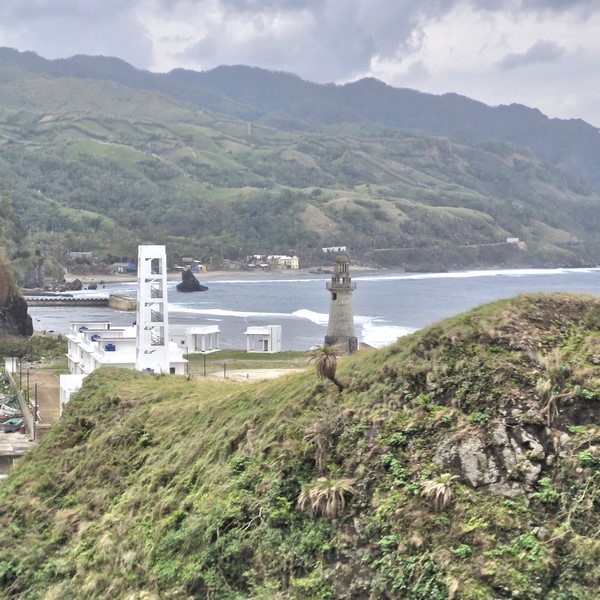
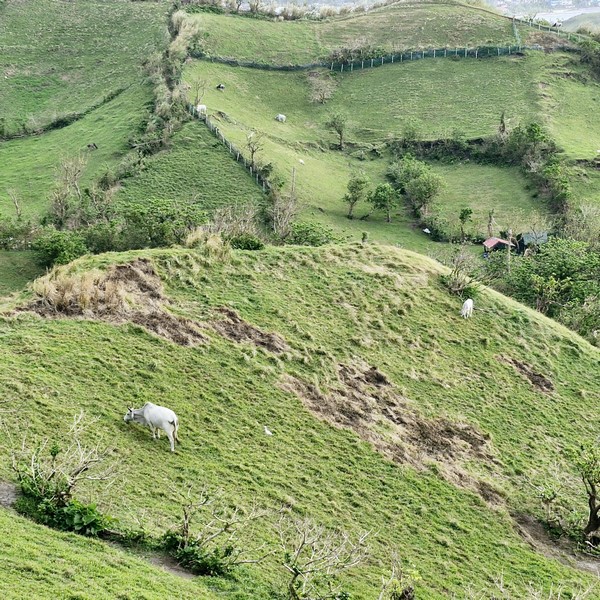
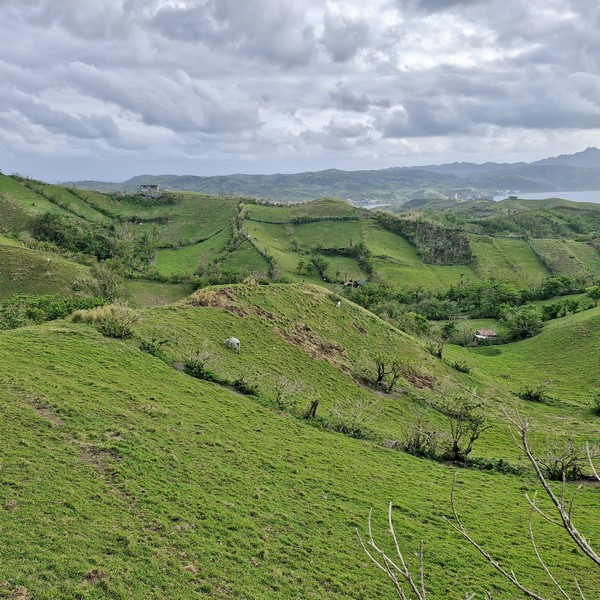
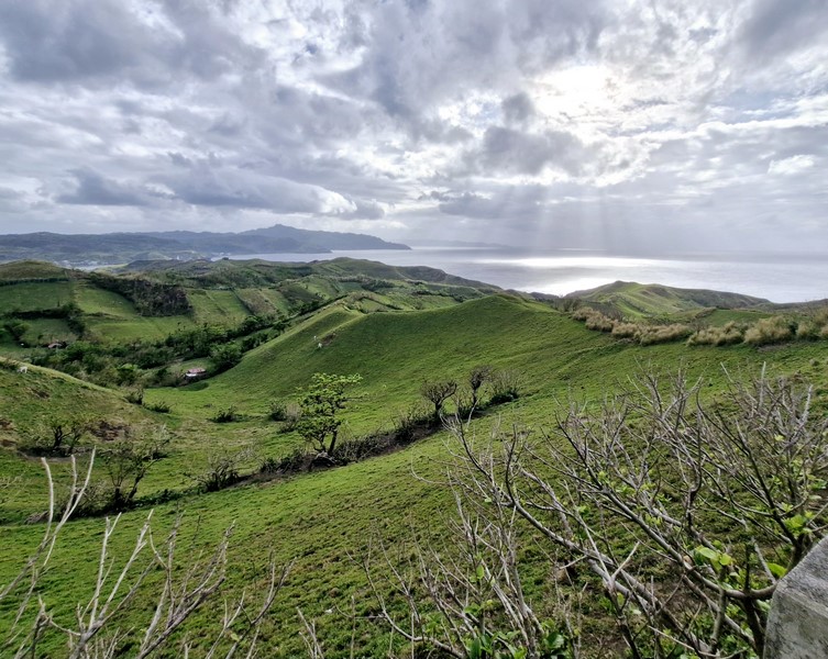
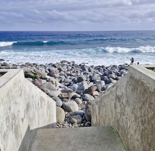
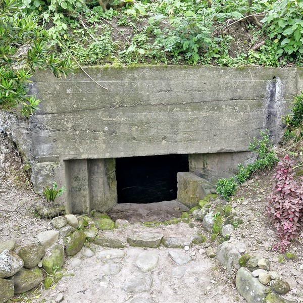
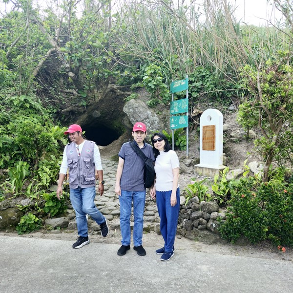
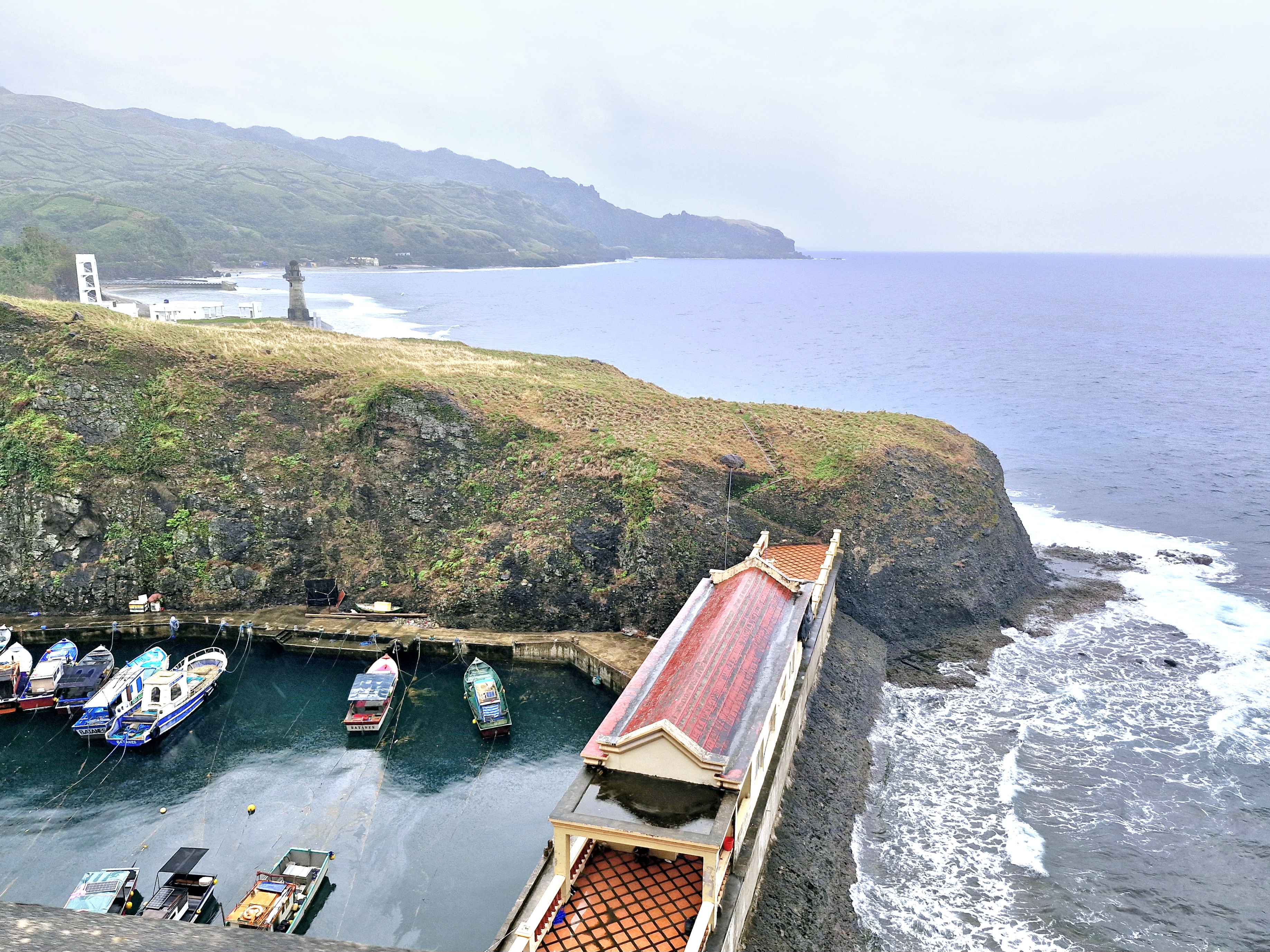
On our way to Racuh a Payaman, from Chawa View Deck, we passed by the Mahatao Boat Shelter Port just before entering the town proper of Mahatao. This shelter area, within a man-made cove, is for falowas, tatayas and other small inter-island vessels plying the Basco-Itbayat route as well as those ferrying passengers or construction materials from Basco or Ivana to Sabtang Island, when typhoons hit Batanes.
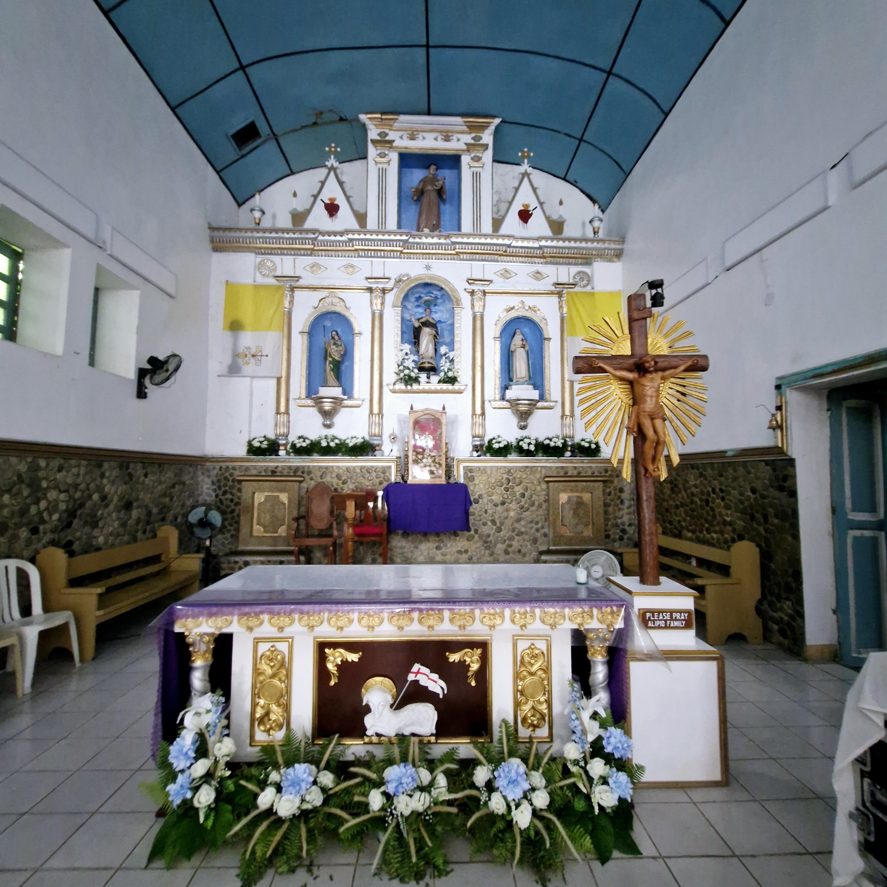
Check out “Racuh a Payaman” and “Chawa View Deck”
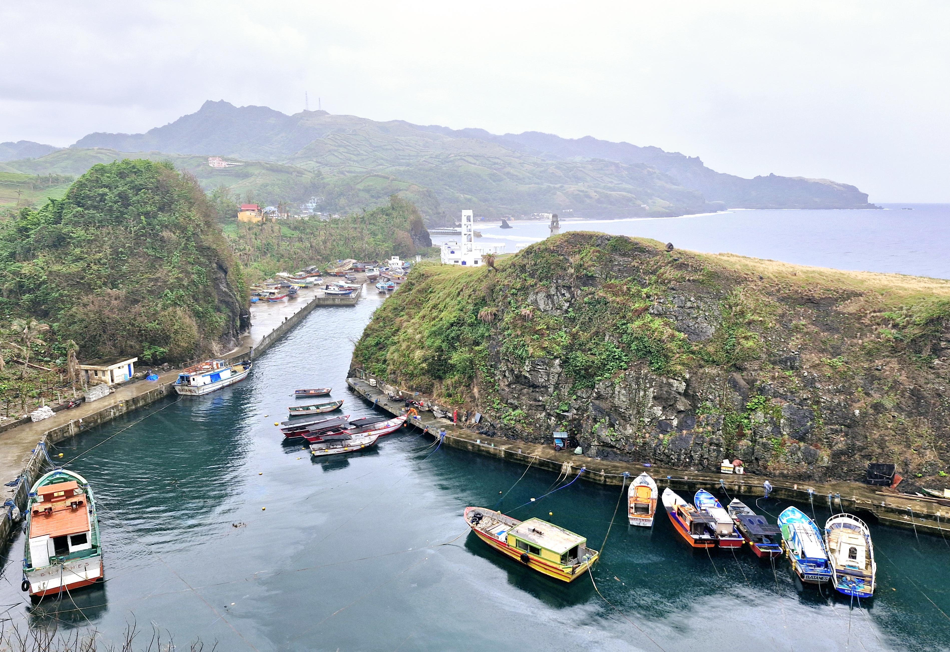
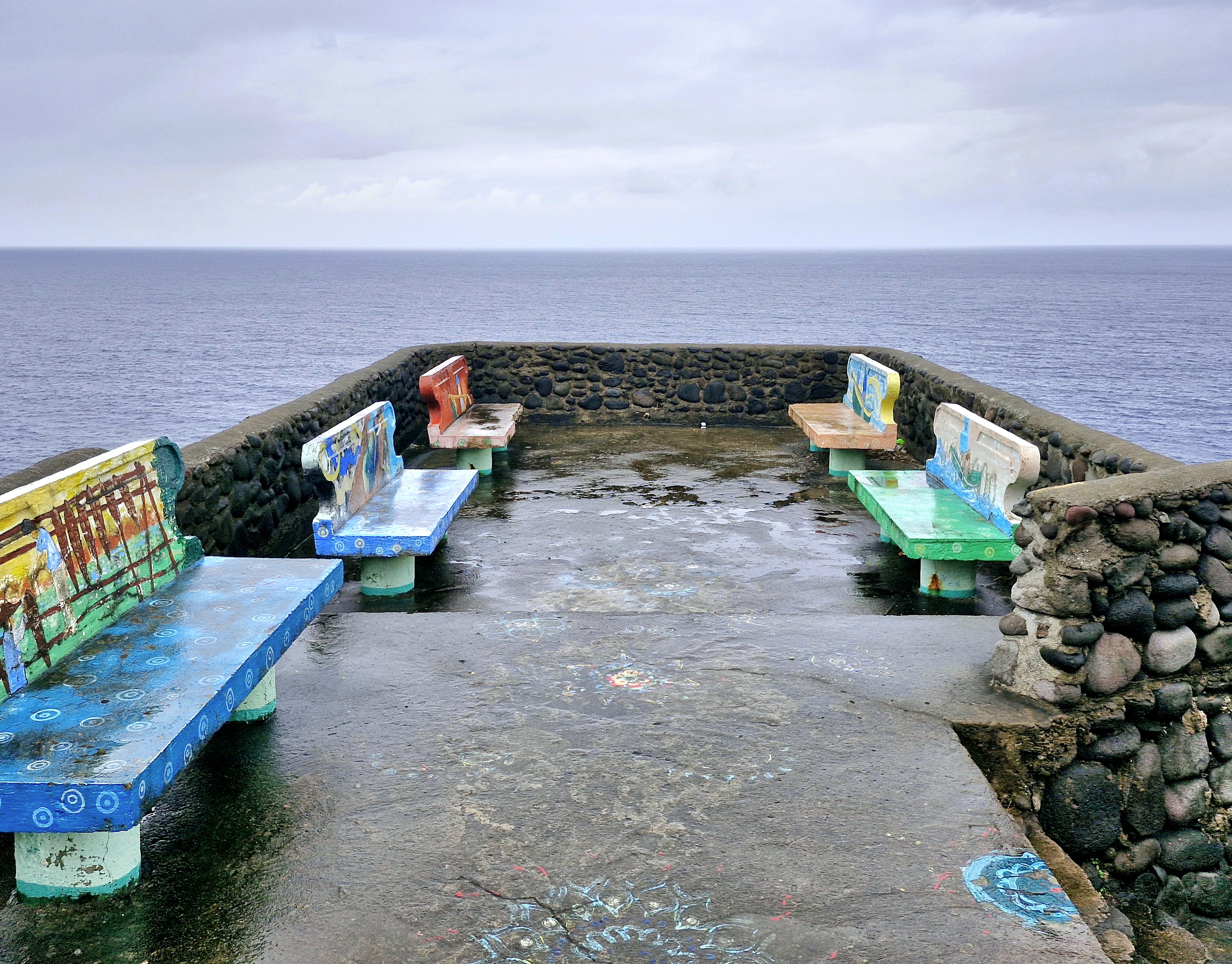
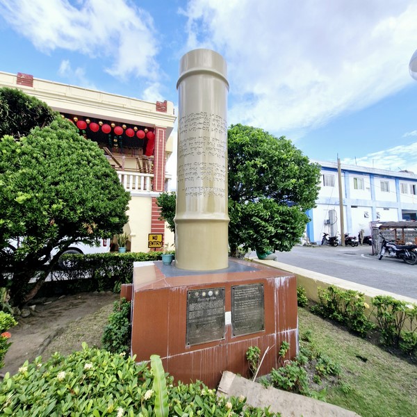
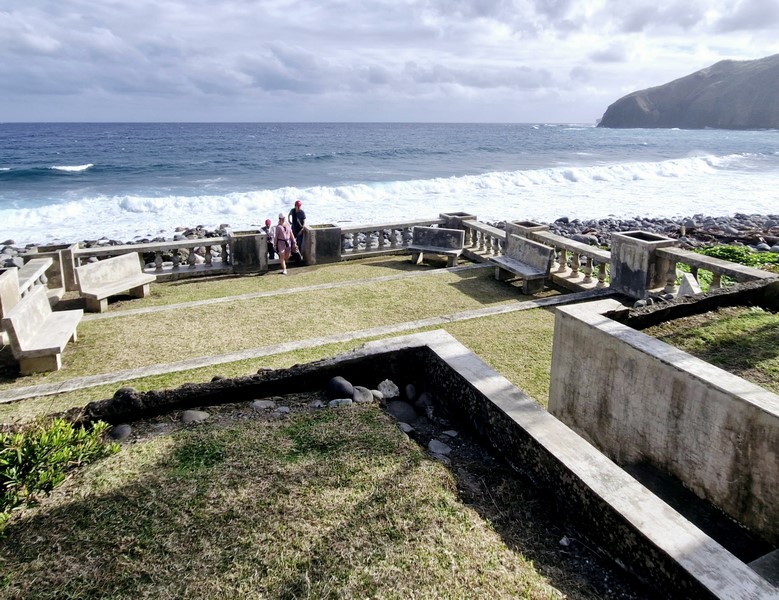
Mahatao Boat Shelter Port
Costing Php130 million (out of the originally estimated Php250 million), it was, at that time, the biggest provincial infrastructure project. This brainchild of Governor Vicente S. Gato (1998 to 2007), officially called the Diosdado Macapagal-Jorge Abad Sr. Boat Shelter Port, was completed in October 2005 with the special assistance of the Naval Special Operations Group of the Philippine Navy (Gato is a retired Navy captain) and inaugurated on June 25, 2007. The shelter port has since become a popular stop on the South Batan tour.
Mahatao Boat Shelter Port
Mahatao Boat Shelter Port: National Rd., 3901 Mahatao. Admission: Php50 per pax. Tel: (02) 782-8002.
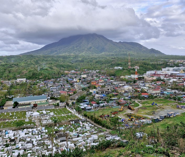
How to Get There: Mahatao is located 13.4 kilometers (a 30-minute drive) south of Basco.
Provincial Heritage and Tourism Office (PHTO): Mobile number: (0929) 230-5934. Website: www.breathtakingbatanes.com.