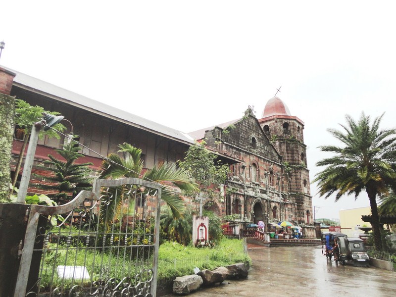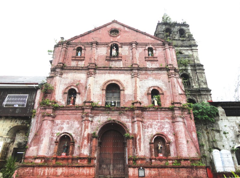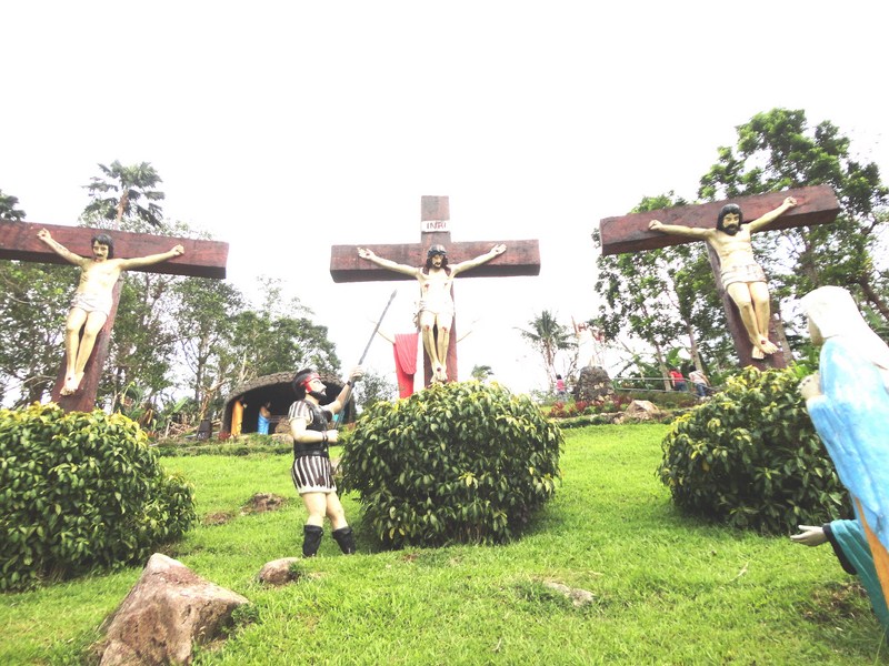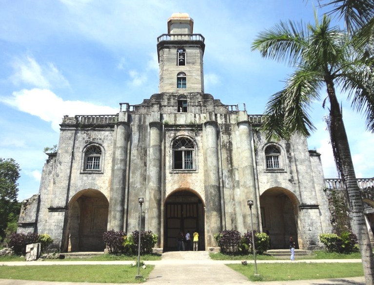
The Church of St. Monica
From the Philippine Tarsier and Wildlife Sanctuary, we again boarded our airconditioned coaster and made our second stopover, along the highway, at the Church of St.. Monica in Alburquerque (nicknamed by the Boholanos as “Albur”).
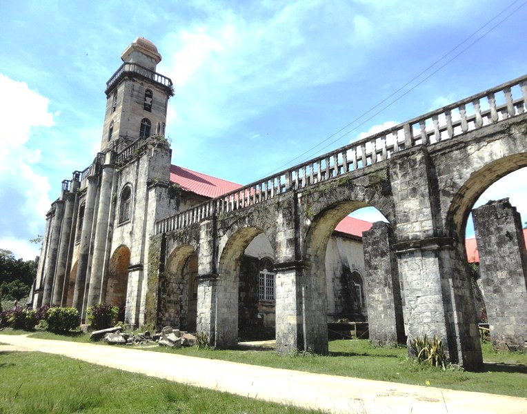
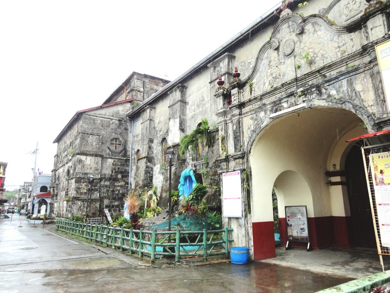
The pasadizo (arcade) connecting the church with the convent
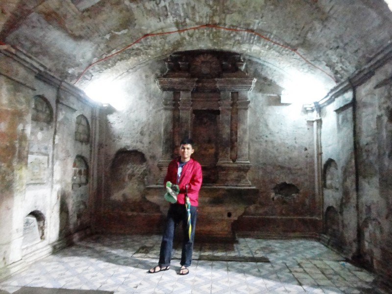
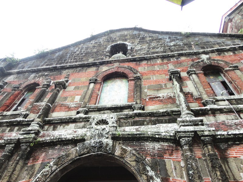
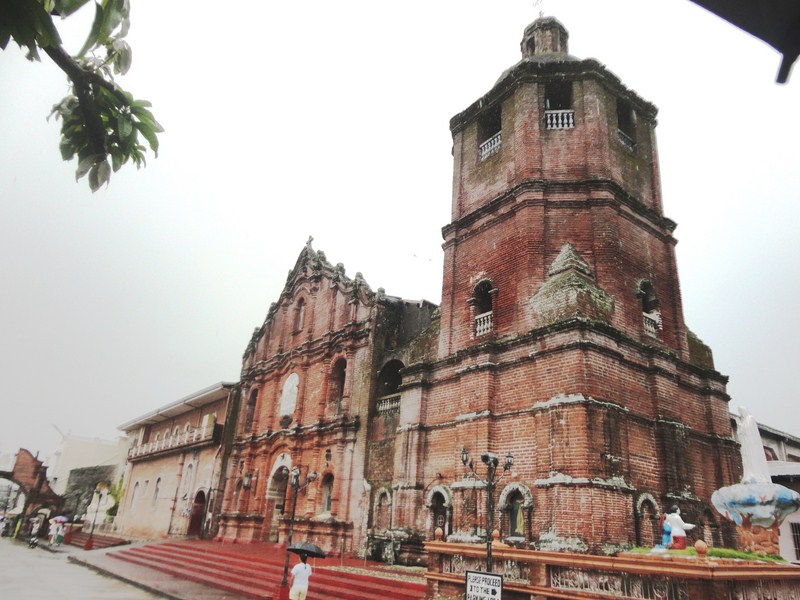
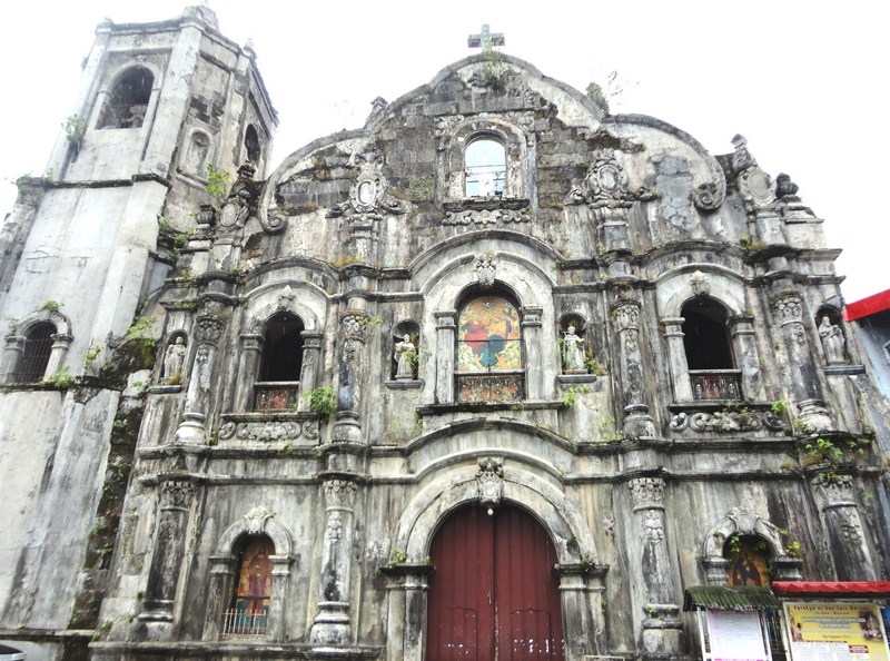
Situated on a low knoll, this church was first built of wood and bamboo in 1842. Later, it was replaced by a larger and sturdier church in 1856. The present coralstone church, started in 1885 by Fr. Manuel Muro (1882 to 1896), was continued by his successor in 1896 and completed during the 1920s and 30s.
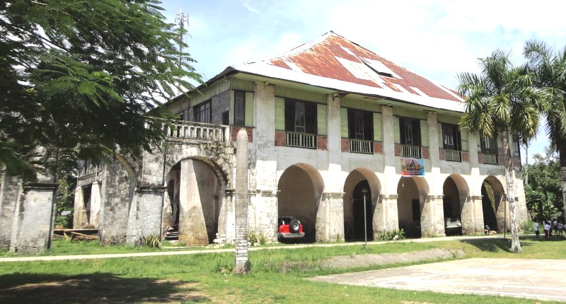
The convent
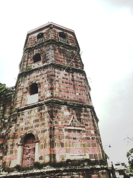
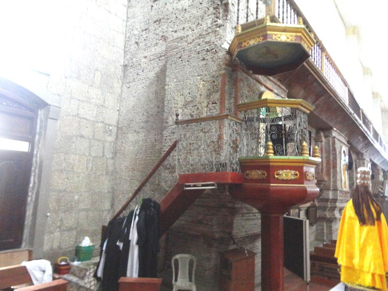
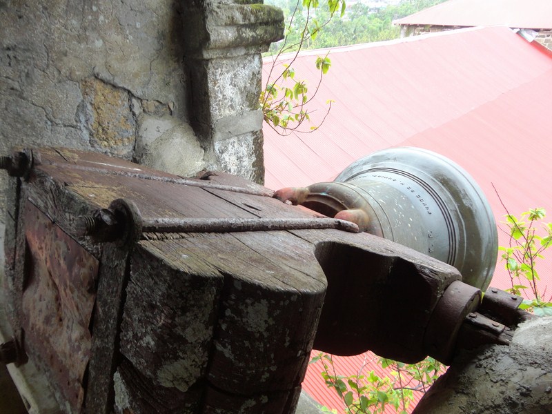
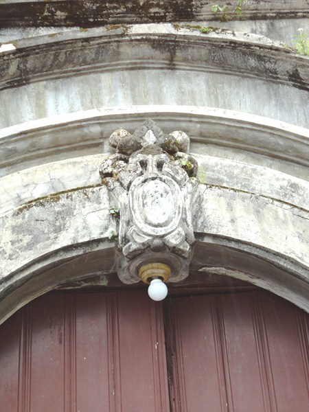
The church’s entrance is shaded by a portico (actually the choir loft) from which a stair leads to a Moorish-inspired square bell tower with bells dating to 1867. It also has arched openings and a decorative band on the edges of the pediment. The side walls are supported by buttresses.
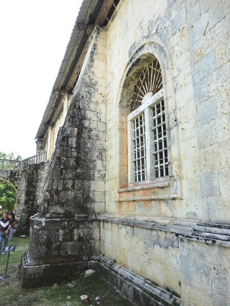
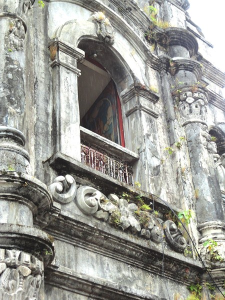
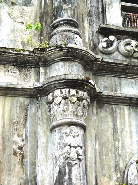
A buttress supporting the side wall
The convent, built with sont, wood and, on the second floor, with, tabique (wattle and daub) walls, was started by Fr. Tomas Fernandez (1869 to 1875) and finished in 1879 by Fr. Antonio Munro (1876-1879). It is connected to the church by a pasadizo (arcade), unique to Bohol and, together, they form one of the more picturesque church complexes in Bohol. A series of arches link the church, pasadizo and convent.
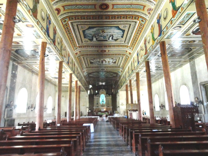
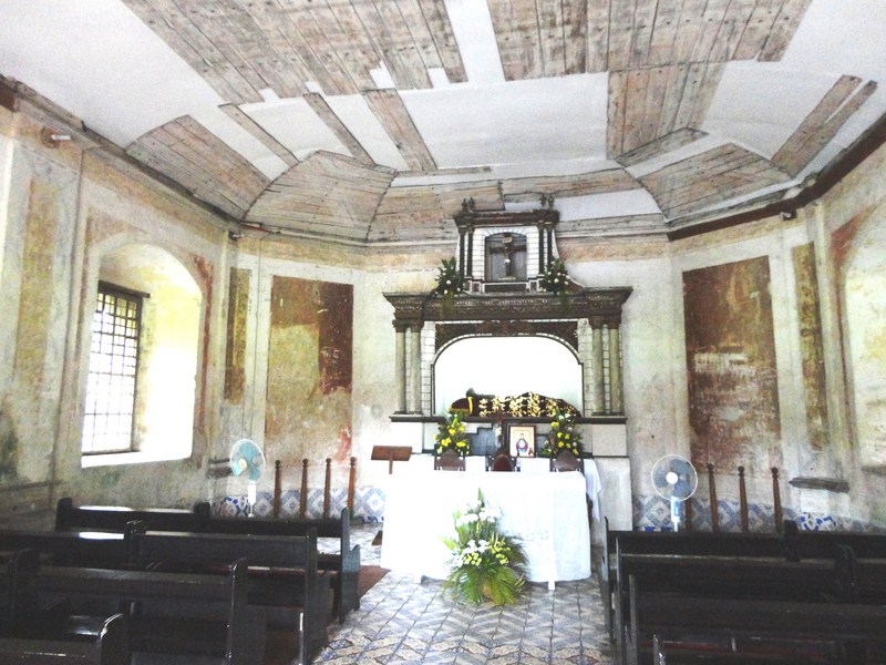
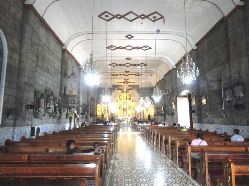
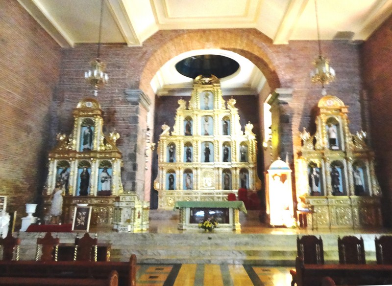
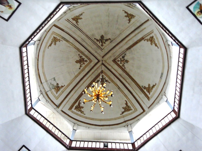
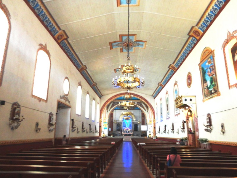
The wooden pillars and the Guy Custodio-restored painted ceiling
The generous use of reinforced concrete for the Romanesque-style façade and the central bell tower, which is integrated into the façade, probably helped save the church from serious damage during the October 15, 2013 earthquake. Some coral stone from the facade was detached and fell to the floor but that was all we saw.
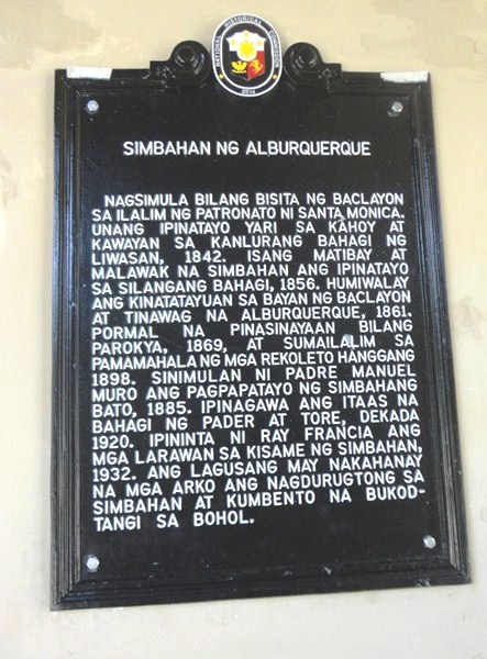
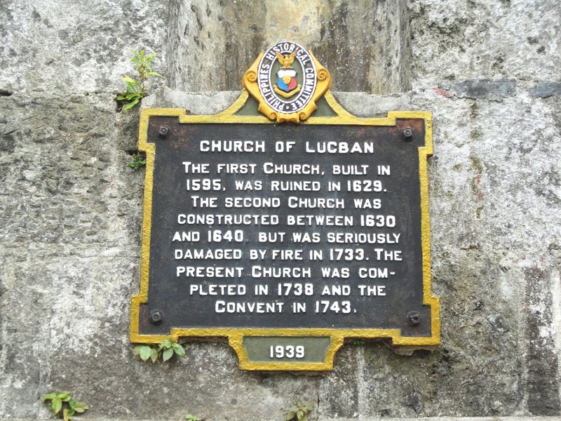
Plaque installed by National Historical Commission
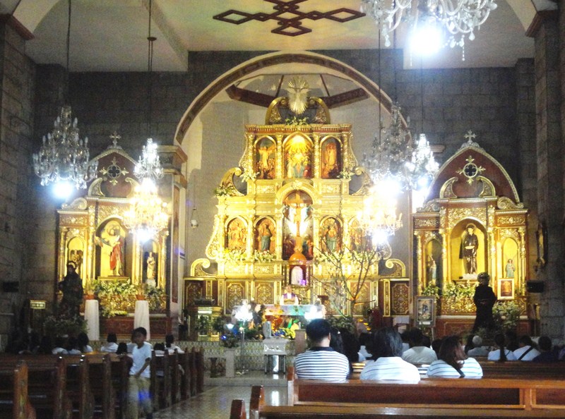
Upon entering the church, we were awed by the painted ceiling which was done by Ray Francia from April 12 to August 3, 1932 and recently restored by Manila-born but Spain-based artist Guy Custodio. The massive pillars are actually large tree trunks (a rarity among Philippine churches) masked by metal sheets.