Mena Crisologo Street (Vigan City, Ilocos Sur)

After lunch at Laoag City (Ilocos Norte), we continued on our way to Bauang (La Union) but decided to make a stopover at Vigan City and do some sightseeing and souvenir shopping along Mena Crisologo Street.  This cobblestoned street  is lined with a number of shops selling antiques and more recent novelties such as abel handicrafts, miniature furniture, fans and white and colored T-shirts.  Aside from some abel wall hangings and some T-shirts, we bought some decorative burnay pots.  


Mena Crisologo Street


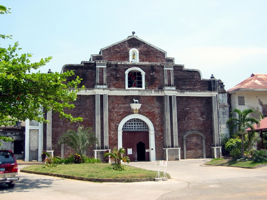
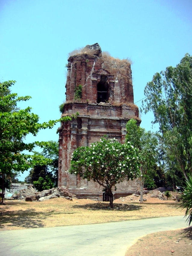
The street also has a number of Spanish-era structures.  Vigan, recently included in the prestigious UNESCO World Heritage List, has 220 Spanish-era structures, 156 of which are old houses.  Many of the old homes of Vigan’s elite, documented by the Vigan Historical Society, were built in the 1850s by Chinese taipans during the profitable indigo trade.   Built in various styles (Spanish, Mexican or Chinese), all have thick brick and stone lower walls with imposing wide arch doorways, piedra china, grand staircases, wooden upper floors with massive, polished narra floors, high ceilings and sliding capiz windows with ventanillas, red tile roofs, balconies with ornate metal grillework overlooking the street and cool azoteas (tiled patio) in the rear. 


Church of St. Andrew and St. Joseph (Bacarra, Ilocos Norte)

From Burgos, we drove a further 45 kms., past Pasuquin, to the town of Bacarra where we made a stopover to visit the town’s compelling landmark, the Church of St. Andrew and St. Joseph.  This church was built by Frs. Antonio Villanueva (1702 to 1705), Diego Mendarrosqueta (1704 to 1705) and Miguel Albiol (1705 to 1710) but was damaged during the 1709 earthquake and restored in 1868 by Fr. Felipe Fernandez (who also built a spacious and magnificent convent).  Again damaged during the July 18, 1880 earthquake, its roof and floor were later replaced.  The church was seized by the Aglipayans in 1901.  Damaged again during the 1931 and 1944 earthquakes, it was repaired by Fr. Celedonio Albano in 1940 and Fr. Fidel Albano in 1947.  Between 1965 and 1976, Fr. Amado Luz completed the interior and exterior painting.  The church was again damaged during the 1980 earthquake.  Fr. Pedro Berger built the 3-storey bell tower.

Church of St. Andrew and St. Joseph

This church, with its stark interior, used to have a Baroque-style facade which was destroyed during the 1983 earthquake.  The façade then had 4 sets of columns with double capitals sporting rosettes and acanthus leaves, all rising vertically from rectangular pedestals.  It was topped by a horizontal architrave and moving frieze, filled with geometric forms and stylized foliage motifs, and crowned by a pediment framed by huge wavy scrolls. The facade now has scant decorative elements and neat lines.  The Classic columns have been replaced by square ones and the simple straight lines on the pediment suggest where the huge, heavy scrolls used to be. The semicircular arched main entrance is flanked by two smaller, segmented blind windows on the lower section.   The choir loft window is flanked by rectangular openings with triangular canopies.

The church’s retablo is flanked by two small and graceful Ionic columns and broken volutes. Also inside are capiz-paned windows with wrought iron grilles, an old baptistery with domed roof, an upper storey with its original 250-year old narra floor and elegantly painted ceilings.  It also has a collection of ecclesiastical silver and pewter, plus church records dating back to 1702.   The adjacent L-shaped convent is reached by steps from the nave.

The bell tower

The massive 3-storey, 50-m. high square belfry has 4-m. thick brick walls supported by engaged columns (5 on ground level and 2 on the second story).  Its top segment, the campanille, crashed down into the third story during the 1931 earthquake where it remained until the November 22, 1981 earthquake when the dome fell almost in its entirety.  The September 7, 1983 earthquake caused its complete collapse.

After our church visit, we returned to our car and drove the remaining 8 kms. to Laoag City where we had lunch at a Max’s Restaurant outlet.

Stopover: Cape Bojeador Lighhouse (Burgos, Ilocos Norte)

Cape Bojeador Lighthouse

About 25 kms. out of Pagudpud, past Bangui, on our way to Bauang (La Union), we made a short stopover at Cape Bojeador Lighthouse, Burgos town’s famous landmark.   Designed by Magin Pers and Pers in 1887, first lit on March 30, 1892 and still in use, this 19-m. (57-ft.) high lighthouse, also known as the Burgos Lighhouse, is one of the highest in the country.  It is perched on 160-m. high Vigia de Nagpartian Hill, between the low shrub Ilocos Mountains and squat coral cliffs facing the northern portion of the South China Sea.  A 45-km. (1-hr. ) drive from Laoag City, it could be reached by steps from the Maharlika Highway at Km. 536.  The octagonal lighthouse, topped by a bronze cupola, was made of lime, sand and water reinforced by a mixture of molasses and a sticky by-product of the rubber tree known locally as ablut 

The rocky Cape Bojeador coastline

Too bad we couldn’t climb its narrow iron spiral staircase to the lantern room (now a modern electric lamp powered by solar panels) and its viewing gallery surrounded with decorative iron grille work as the lighthouse was then undergoing a much-needed rehabilitation and we could only admire it from outside. Just the same, we still had a breathtaking view, from the hill, of the surrounding expanse of the rough and rocky coastline of Cape Bojeador and the whitecaps of the South China Sea.  

Patapat Viaduct (Pagudpud, Ilocos Norte)

It was already very late in the afternoon when we proceeded, for some photo ops, at the 1.3-km. (0.81 mile) long Patapat Causeway Bridge near the border of Cagayan, a must-see for first time visitors to Pagudpud.  Here, the Cordillera Mountains ends, edging out the coastal plains and plunging into Pasaleng Bay.  

Patapat Viaduct

As there is no narrow coastal plain along this area to build a road, this bridge, instead hugs the mountainside nearest to the cliff and extends toward the sea.  This concrete coastal viaduct, connecting the Maharlika Highway, from Laoag City to the Cagayan Valley Region, is the 4th longest bridge in the country.  It rises 31 m. (102 ft.) above sea level and is located 16 kms. from the town proper.   

The dramatic landscape and seascape

Our drive here gave us a 360-degree view of the most magnificent and dramatic land and seascapes along the Philippine highway system.  Visitors sometimes toss coins into the coves and surf below to ensure safe travel. Along the cliff sides, cascades and mini-falls descend directly to the road side.

Pasaleng Bay

Upon our return to Saud Beach Resort, we went restaurant hopping along the beach, for a change of pace and cuisine, and settled for dinner at the restaurant of Terra Rika Beach & Dive Resort.  Come morning,  our last day at Pagudpud, I decided to burn some of my extra calories with an early morning stroll, prior to breakfast, at the beach to see its true length.  I hiked as far as Jalao Point and its small, modern lighthouse before turning back.  After breakfast, we all checked out of the resort and left Pagudpud by 11 AM.

Jalao Point