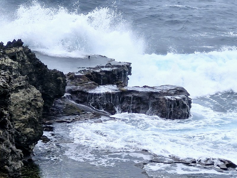
Mutchong Viewpoint (Uyugan, Batanes)

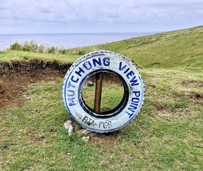
Mutchong Viewpoint

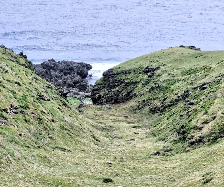
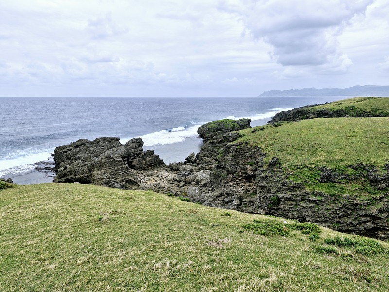
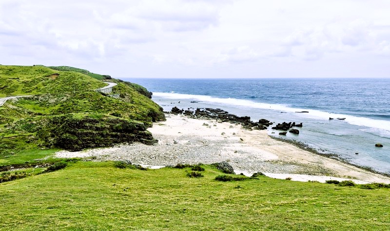
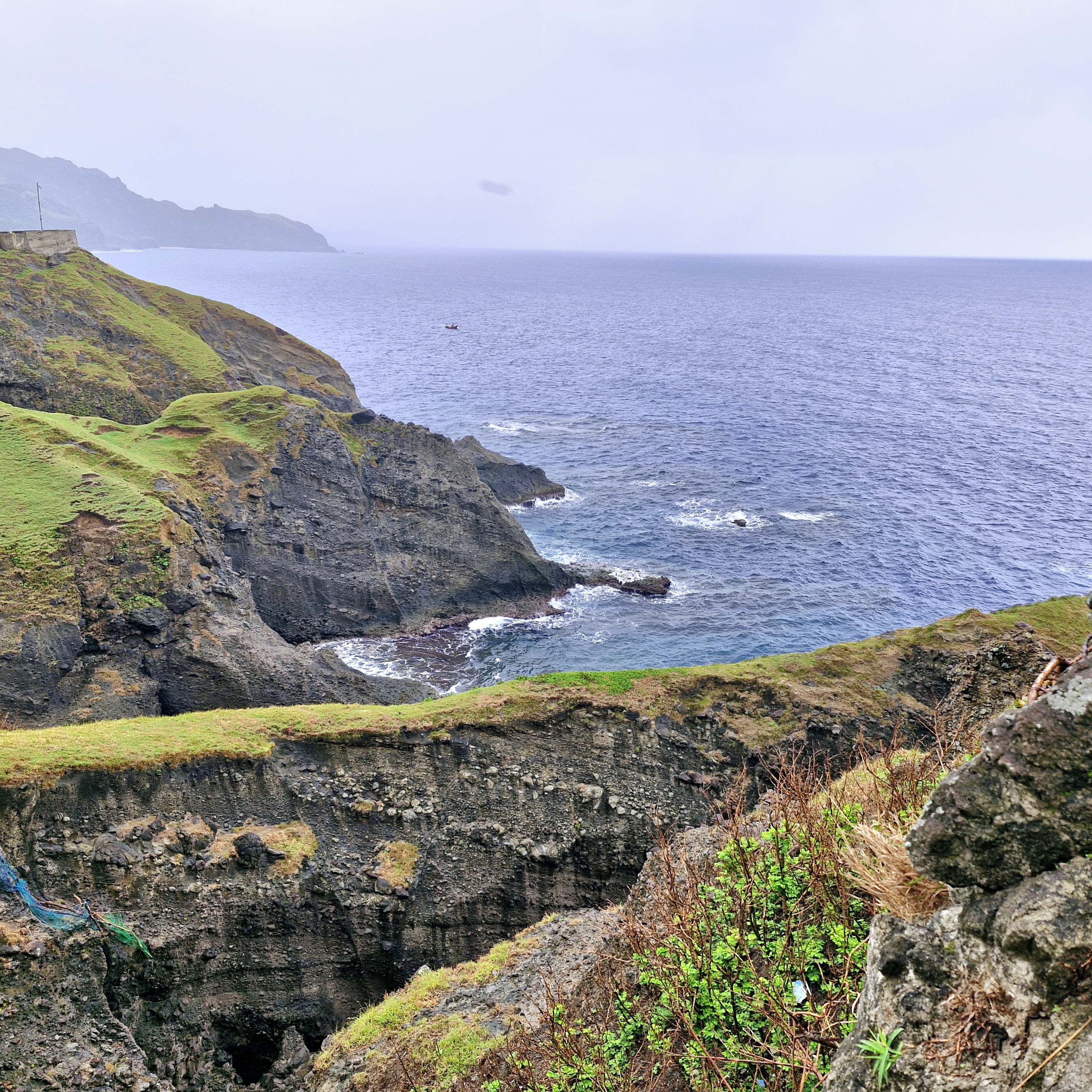
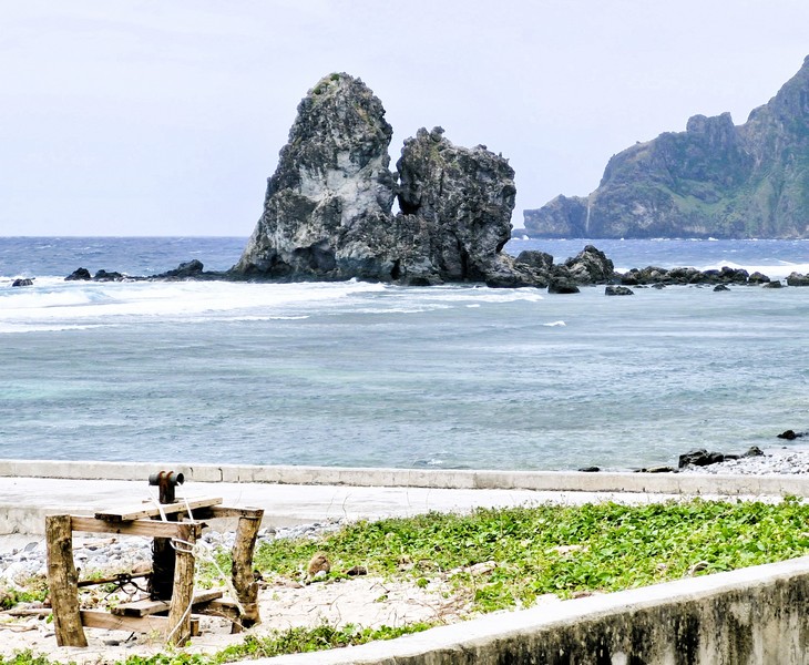
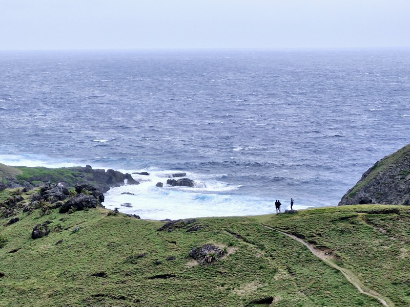
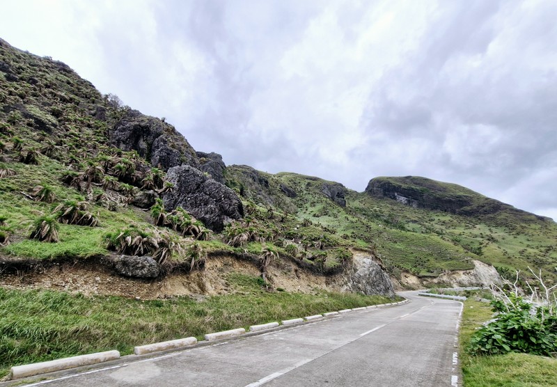
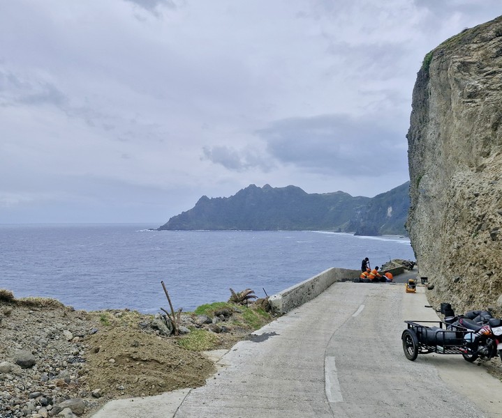
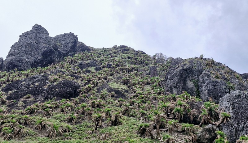
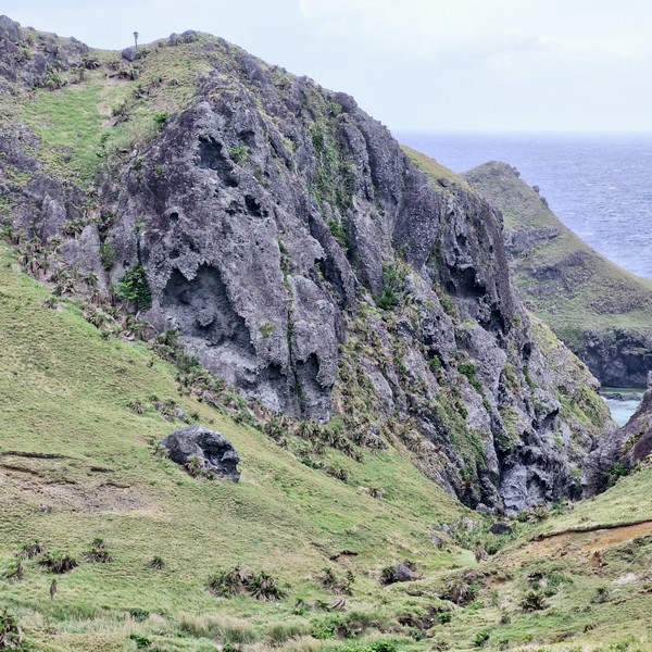
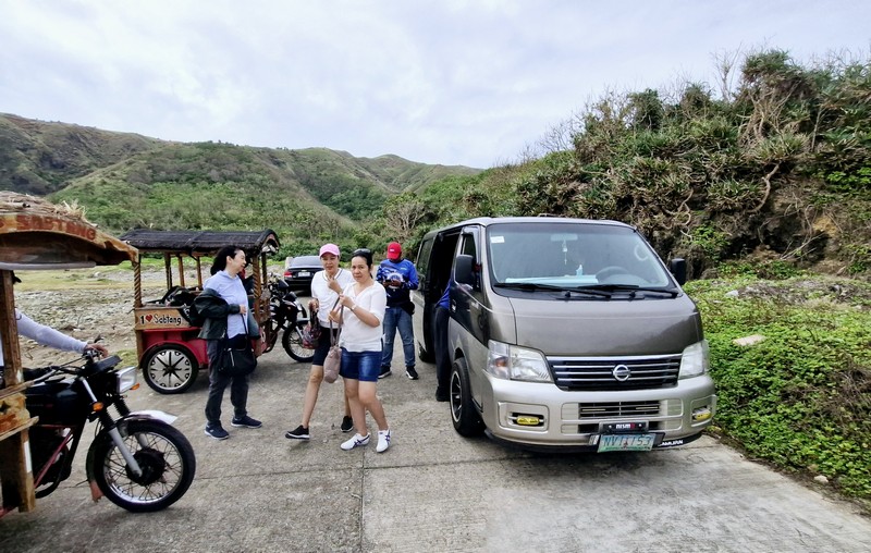
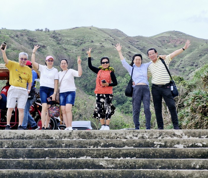
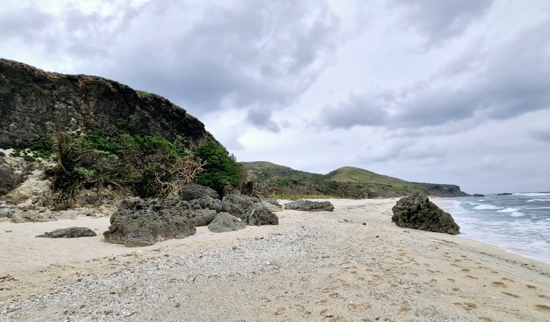
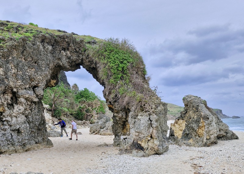
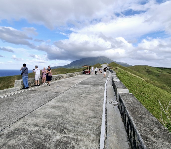
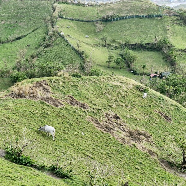
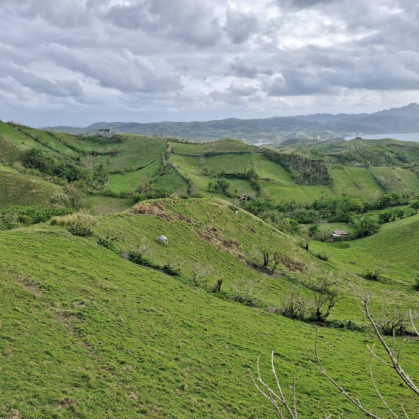
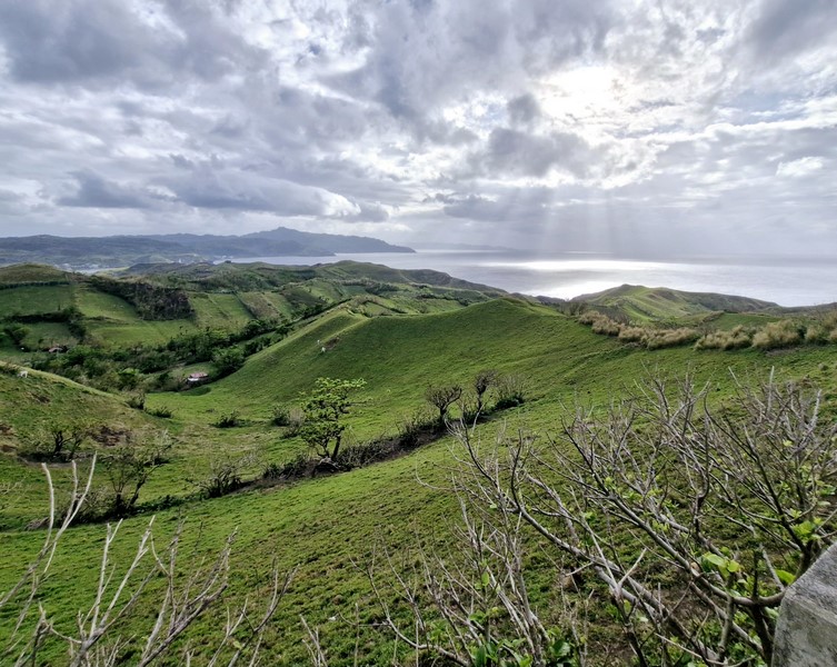
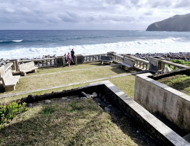
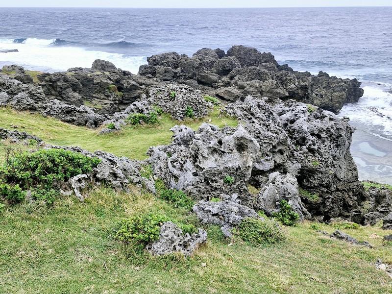
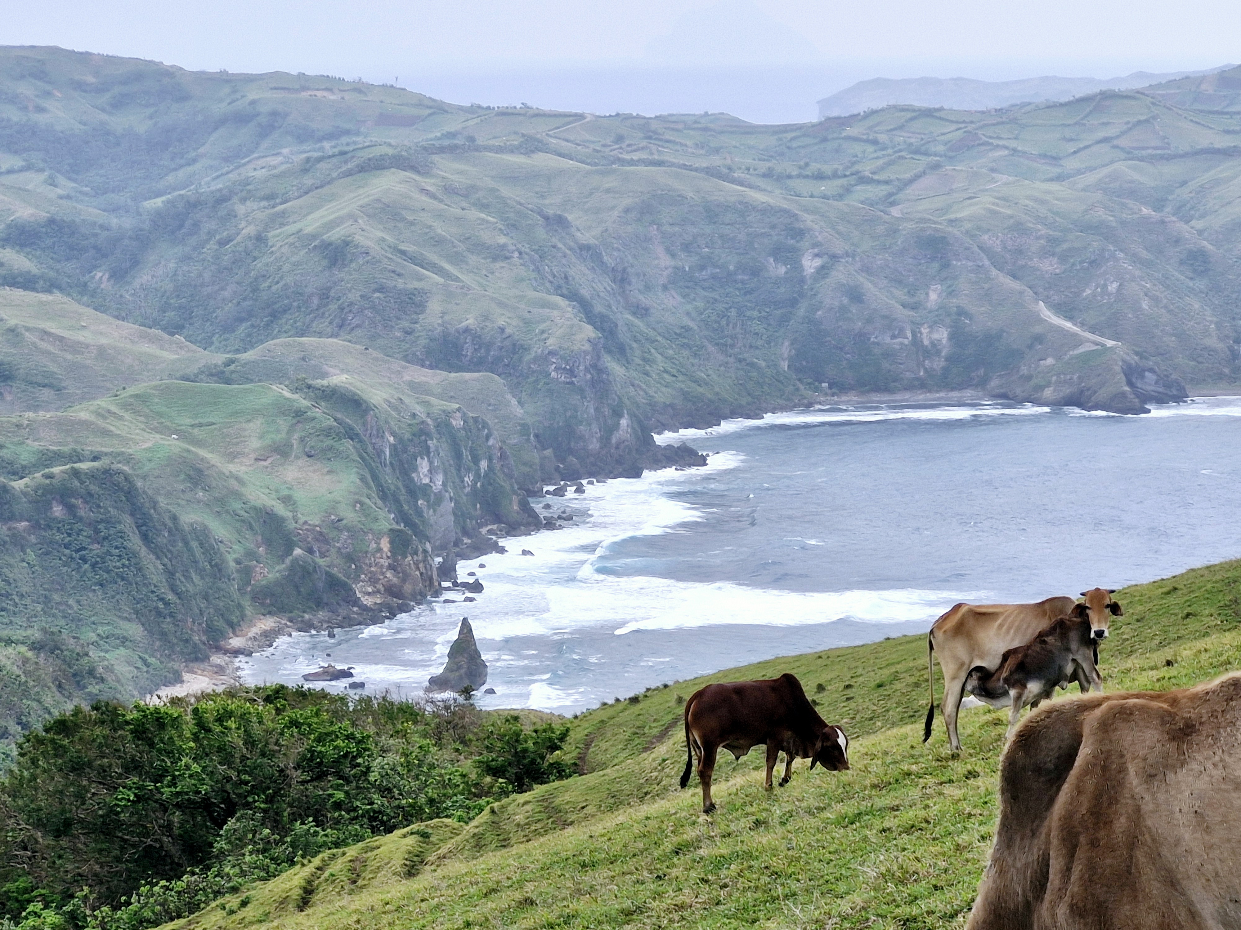
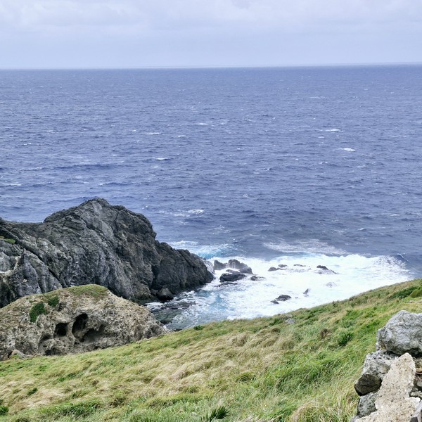
From the famous site of the Alapad rock formation, on your way to Brgy. Songsong in Uyugan, we made a stopover by the big sign saying “I ♡ UYUGAN,” a small boxlike community “bayanihan” (“Kamañidungan”) center and the Mutchong Viewpoint (also called Imnajbu Point) which is known for its breathtaking panoramic views of the surrounding landscapes, including the rugged cliffs, rolling hills, vast ocean, and the picturesque rocky coastlines of Batanes.

Check out “Alapad Rock Formation“
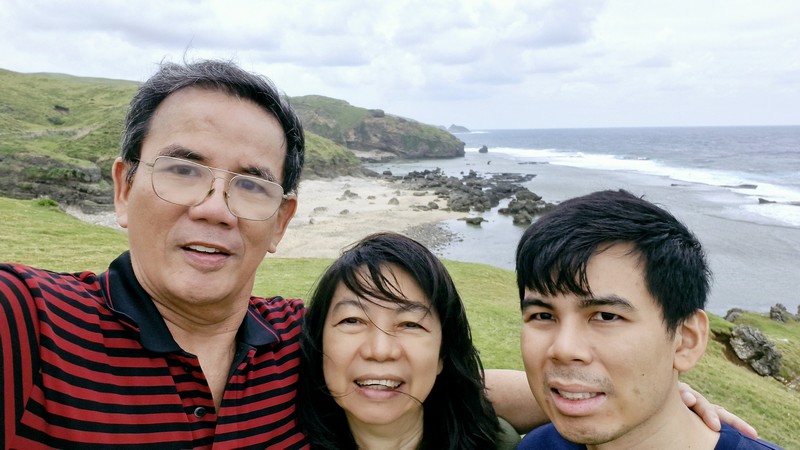
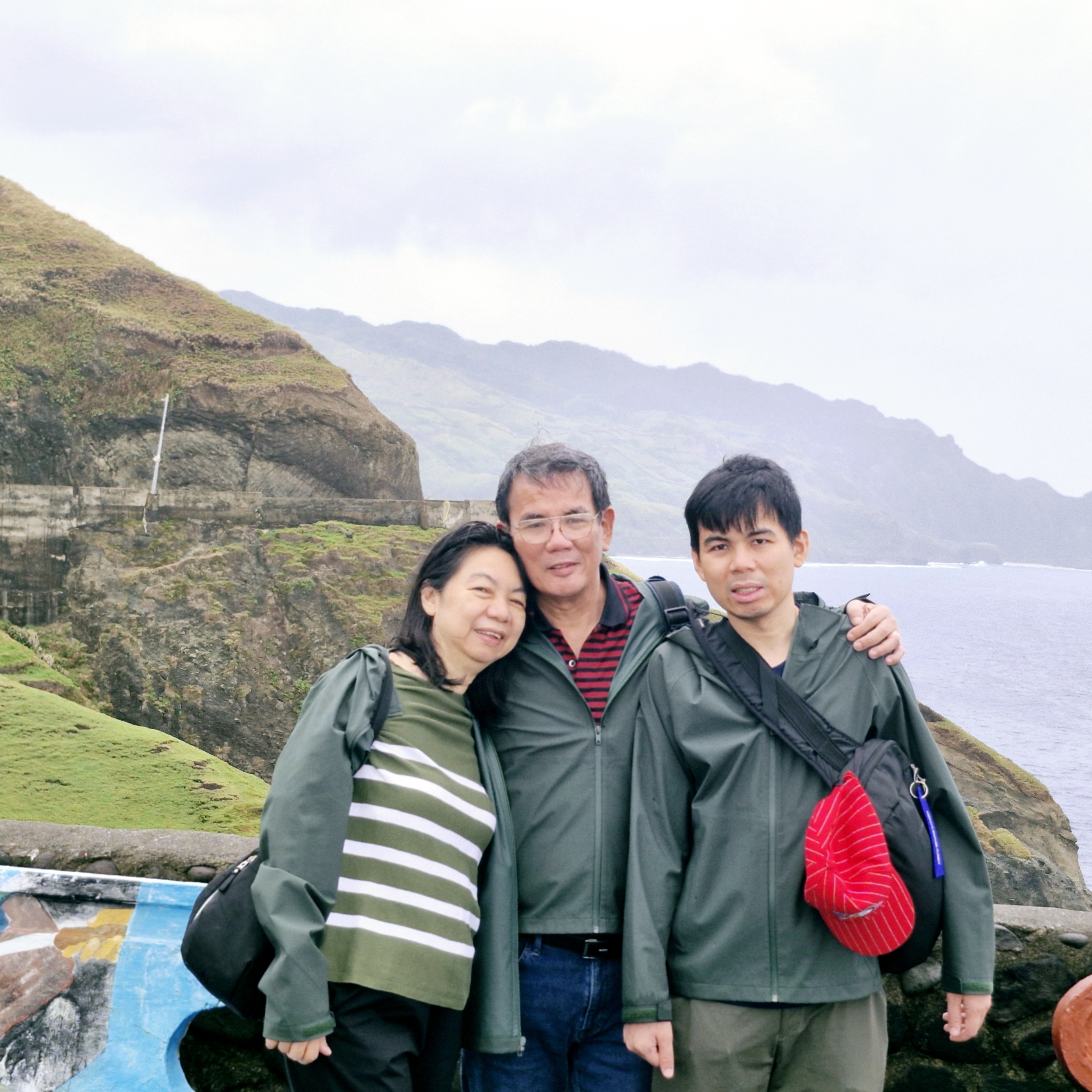
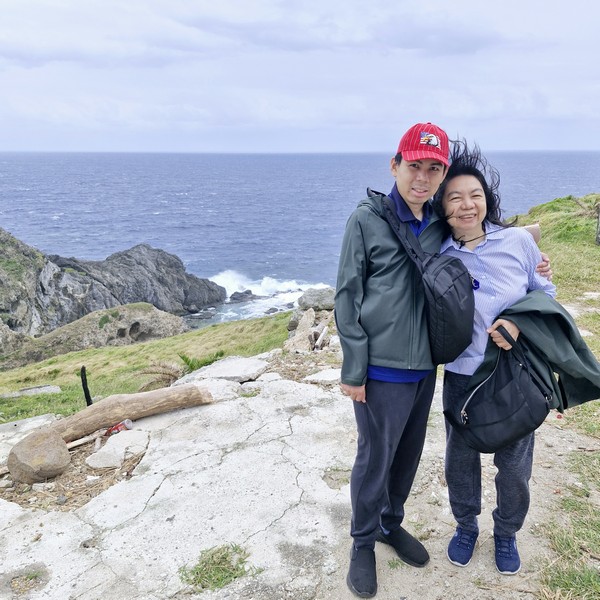
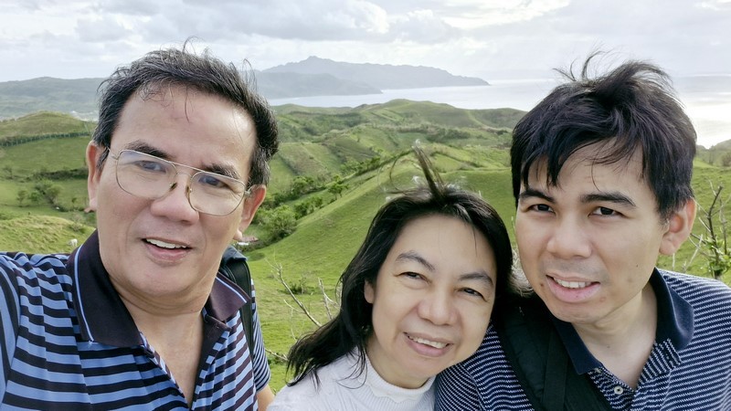
The author, Grace and Jandy

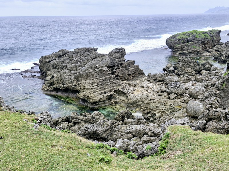
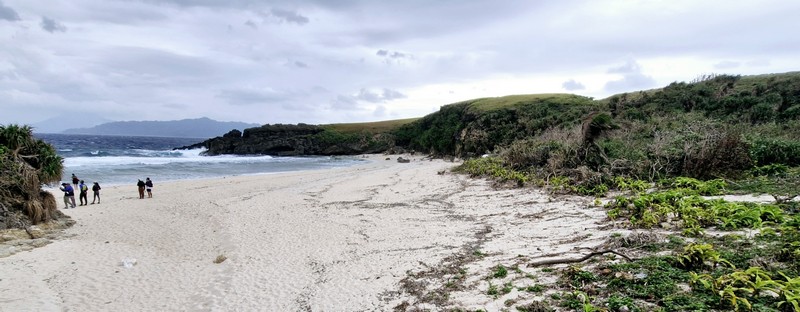
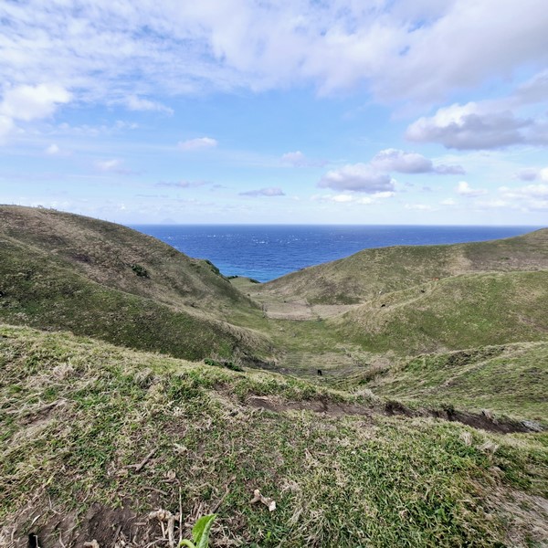
Here we were greeted with a spectacular sight of beautiful hills and the distant sea, as well as a refreshing breeze. The viewpoint allowed us to get close to a cliff, so we can see where the land meets the waters of the West Philippine Sea below. 
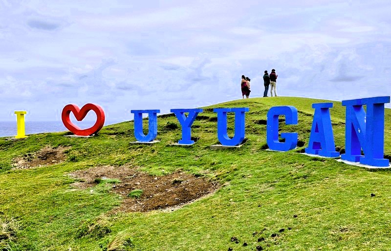
The big “I ♡ UYUGAN” sign

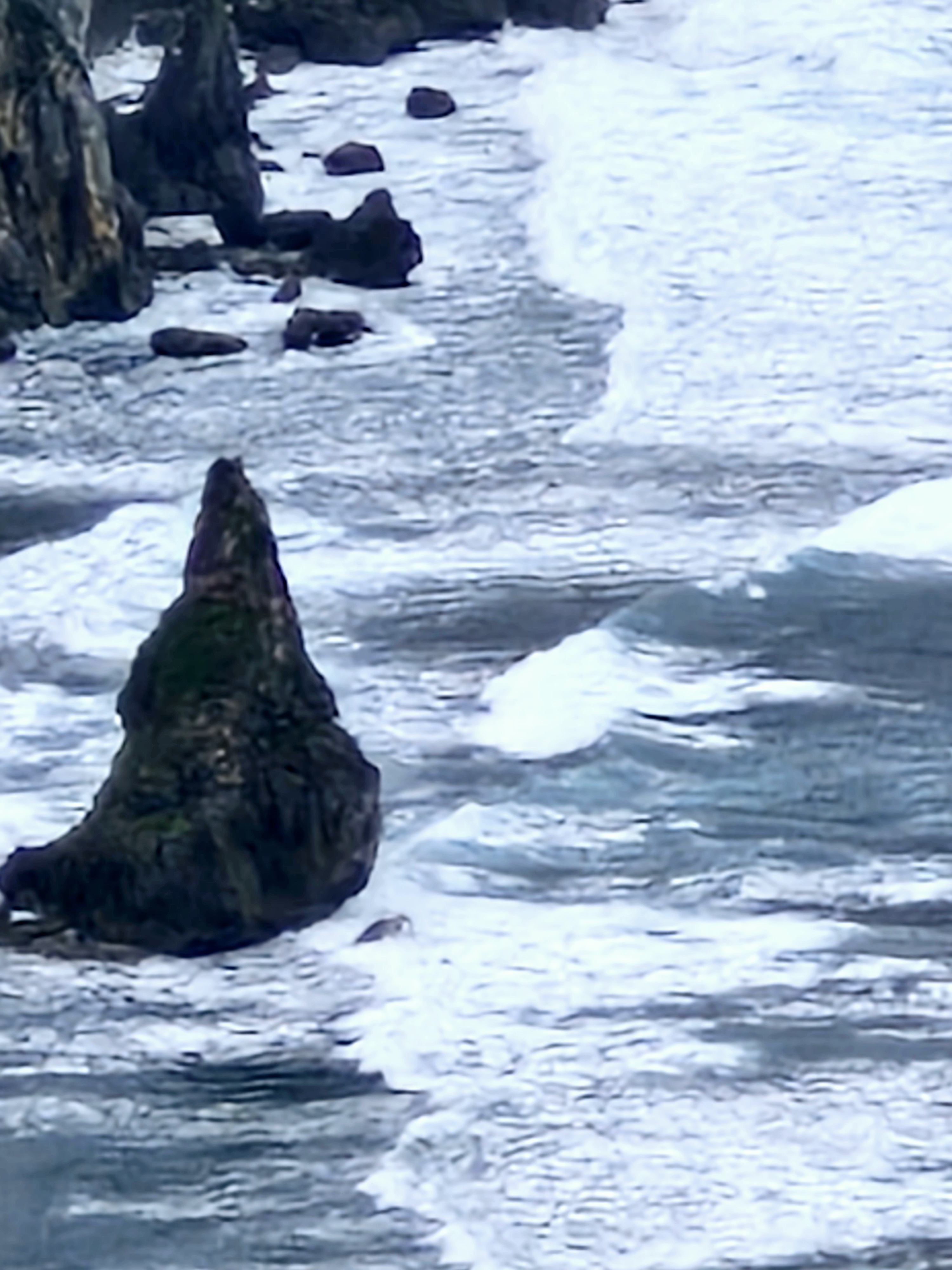
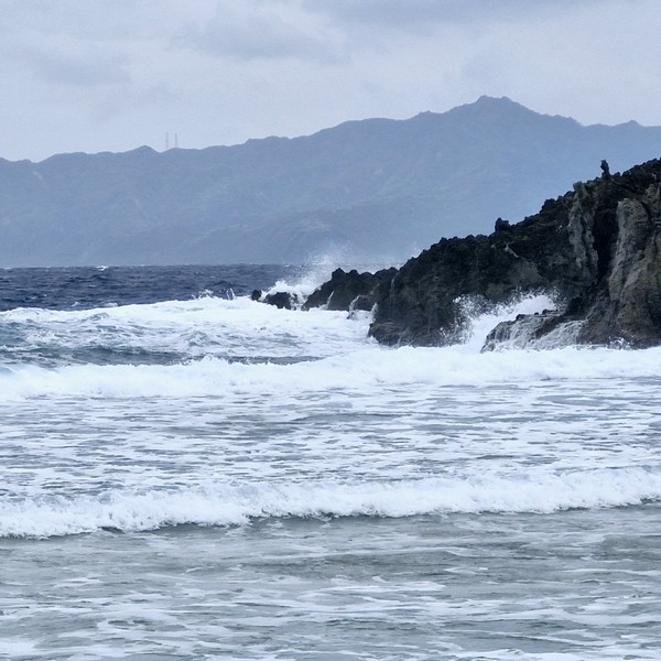
From this stunning vantage point, we admired the lovely scenery and natural beauty of the place, the waves crashing the unique geological formations of the area below and enjoyed the breeze and the sound of the howling wind.
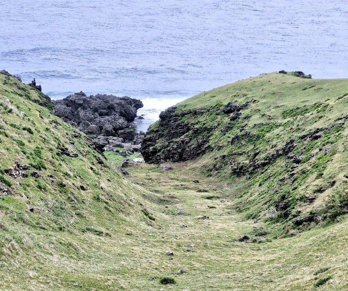
Mutchong Viewpoint: Brgy. Kayvaluganan, 3903 Uyugan.

How to Get There: Uyugan is located 22.2 kilometers (a 45-minute drive) from Basco and 11.9 kilometers (a 25-minute drive) from Ivana.

Provincial Heritage and Tourism Office (PHTO): Mobile number: (0929) 230-5934. Website: www.breathtakingbatanes.com.
Alapad Rock Formation (Uyugan, Batanes)

From the BAMSO Museum, it was just a short drive to the iconic Alapad Rock Formation, one of the most visited tourist attractions in Batan Island.

Alapad Rock Formation

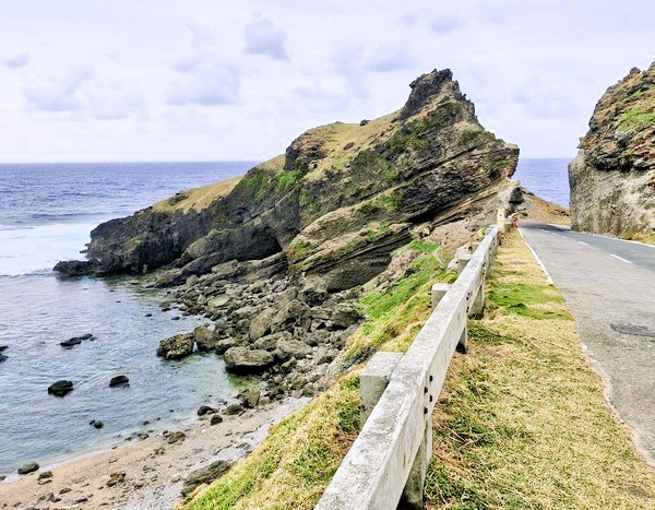
This an inclined rock, facing the Pacific Ocean, was naturally carved by the strong water current and tectonic movements. Since it is strategically situated along the coastline of Imnajbu in Batan Island, it was blasted open, right down the middle, leaving some space in between to accommodate Batan’s circumferential road.

On one side is a hill that serves as a view deck offering a picturesque view of the Pacific Ocean and the seascape, in general, for visitors, while on the other side is a rocky beach.

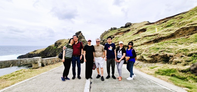
L-R: Grace, the author, Lorraine, Jun, Jandy, Lourdes and Gelyn

The rock formation deck also offers a view of the aforementioned BAMSO Museum now housed in the former LORAN (Long Range Aid to Navigation Station) constructed by the Americans in the 1960s, for Coast Guard purposes and, eventually, abandoned in the 1970s.

Check out “BAMSO Museum”

A famous scene in 1991 movie Hihintayin Kita sa Langit, wherein Richard Gomez was carrying Dawn Zulueta, was filmed here. The motorcycle scene in the 2015 film You’re My Boss, starring Toni Gonzaga (as Georgina) and Coco Martin (as Pong), was also shot here.

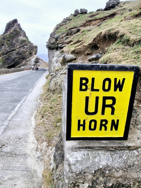
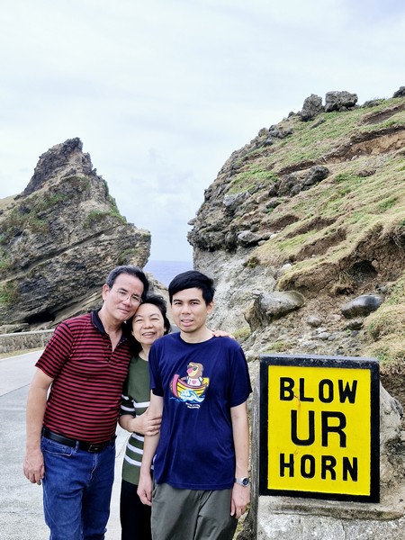
The “Blow Ur Horn” sign

Adding to its charm are the iconic “Blow Your Horn” signs along Mahatao’s cliff hugging roads, evidence of Ivatan ingenuity and creativity. Carved out from cliffs or boulders to prevent accidents at the blind spots, these unique, yellow-painted road signs, also associated with Batanes, were built to withstand the torrential winds of the strongest typhoons.

The uthor (left) with Grace and Jandy

Alapad Rock Formation: Brgy. Itbud, 3903 Uyugan,

How to Get There: Uyugan is located 22.2 kilometers (a 45-minute drive) from Basco and 11.9 kilometers (a 25-minute drive) from Ivana.Locals usually ride their motorcycles, bicycles, tricycles, or walk to the Alapad Rock Formation. You can also join a guided tour that includes this attraction.

Provincial Heritage and Tourism Office (PHTO): Mobile number: (0929) 230-5934. Website: www.breathtakingbatanes.com.
Racuh a Payaman (Mahatao, Batanes)

Racuh a Payaman

From the Chawa View Deck, it was a 6-km. (15-min.) drive, passing by the Mahatao Boat Shelter Port, to Racuh-a-Payaman (meaning “big pasture”), one of the most visited tourist attractions in the island.  By the time we arrived, the rain had already stopped and the sun was shining brightly in the sky.

Check out “Chawa View Deck” and “Mahatao Boat Shelter Port”

L-R: Grace, the author, Jandy, Lorraine, Junior, Lourdes and Gelyn

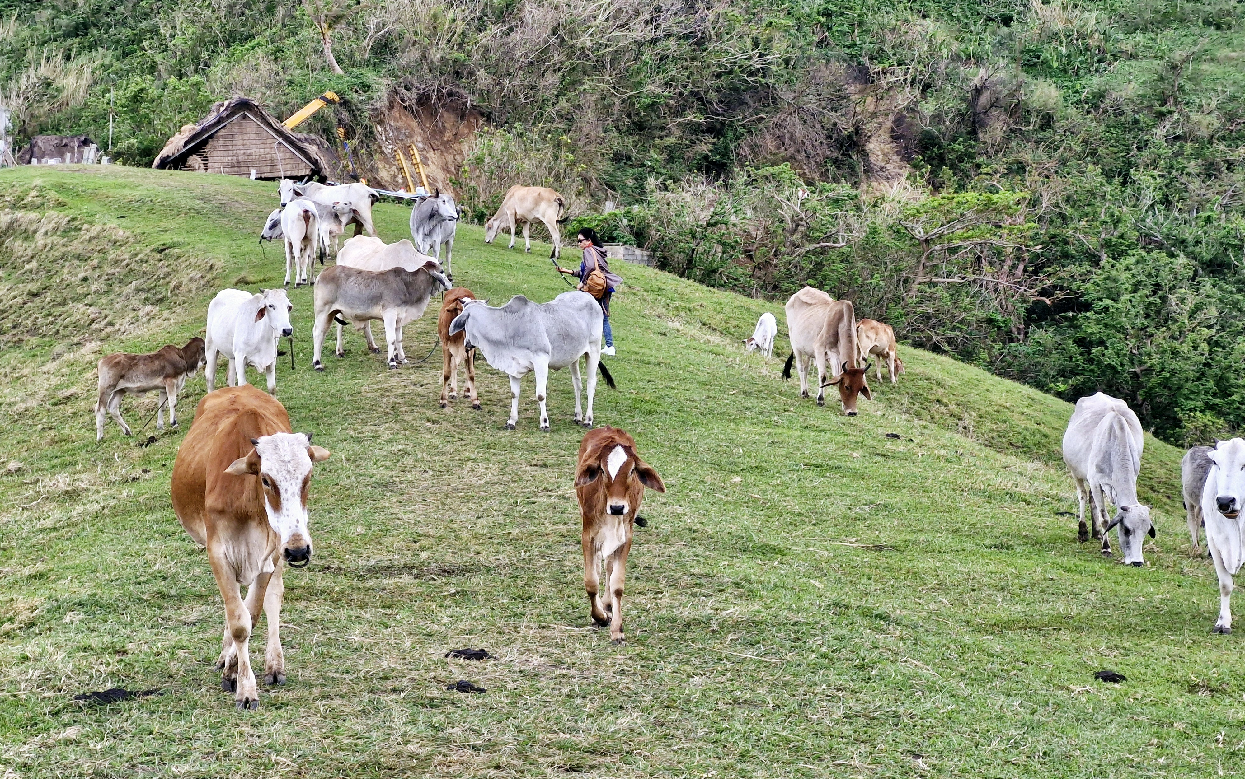
Located at Mahatao’s outskirts, it is also called Vayang (“rolling hills”) or Japarao but is more popularly called the “Marlboro Country of Batanes,” a referral derived from a 1968 Marlboro cigarette TV advertisement, mainly because of the rolling hills of limitless, velvety grazing grassland where cattle, carabao and horses are aplenty.

Grazing cattle

This huge track of communal pastureland, preserved by the villagers, have fields often typically hedged with tall rows of reeds, trees, cogon grass or piled stones.  These hedgerows serve as some sort of windbreaker, protecting the crops against the harsh winds and typhoons.  They also help prevent soil erosion.

The site is protected by the NIPAS Act (a law securing the proper use of protected lands in the country) and the Batanes Protection Act of 2000 (a law stipulating a Batanes as a cultural heritage and ecotourism zone). Therefore, the protection of the environment is strictly enforced in the area.

A cone-shaped islet

A large part of this area is occupied by the Cattle Raisers Association of Communal Pastureland No. 1, the oldest and most intact group in Batanes, with management ensuring that equitable access and distribution of the benefits derived from the grazing land.

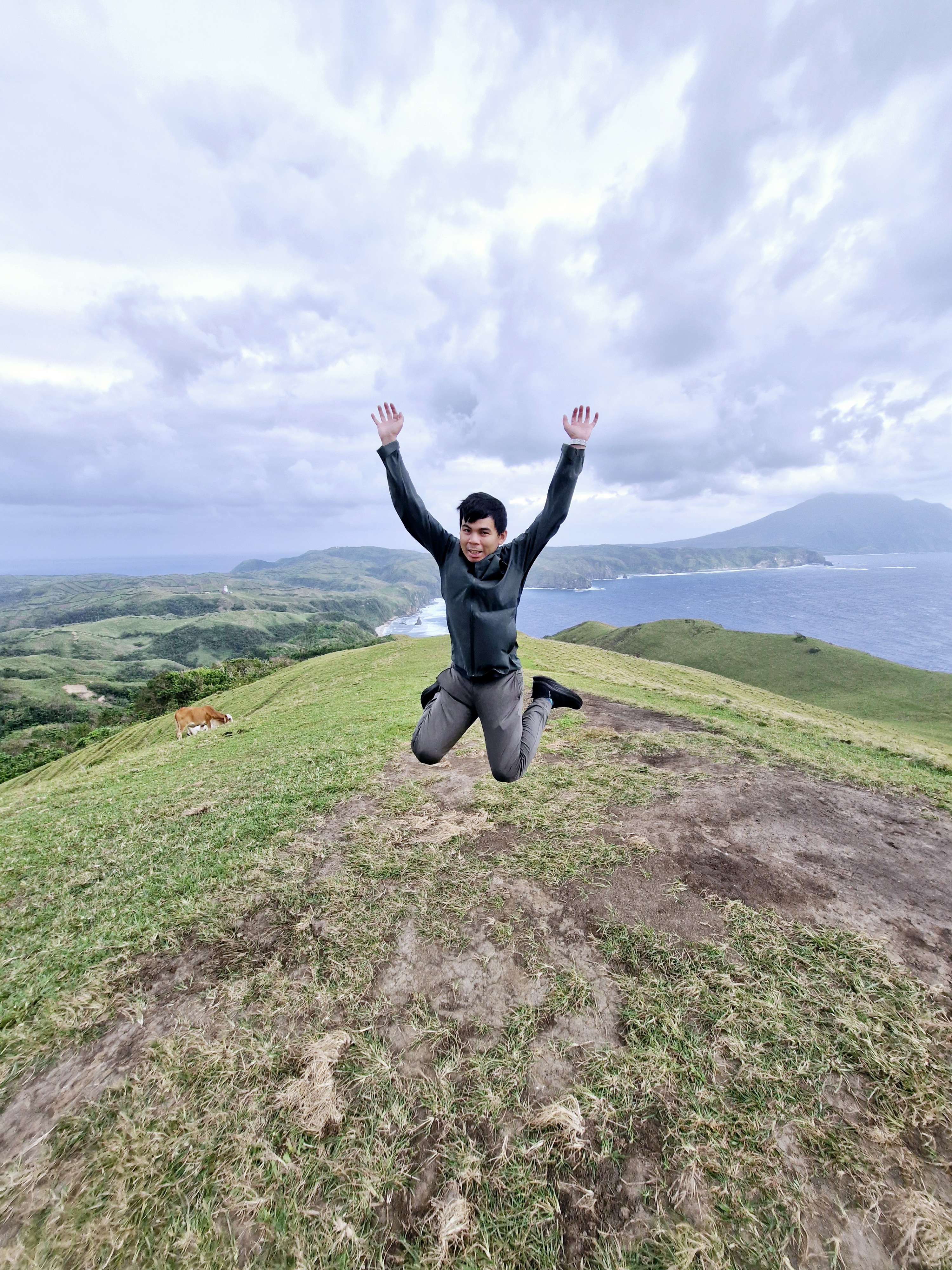
Jandy doing a jump shot

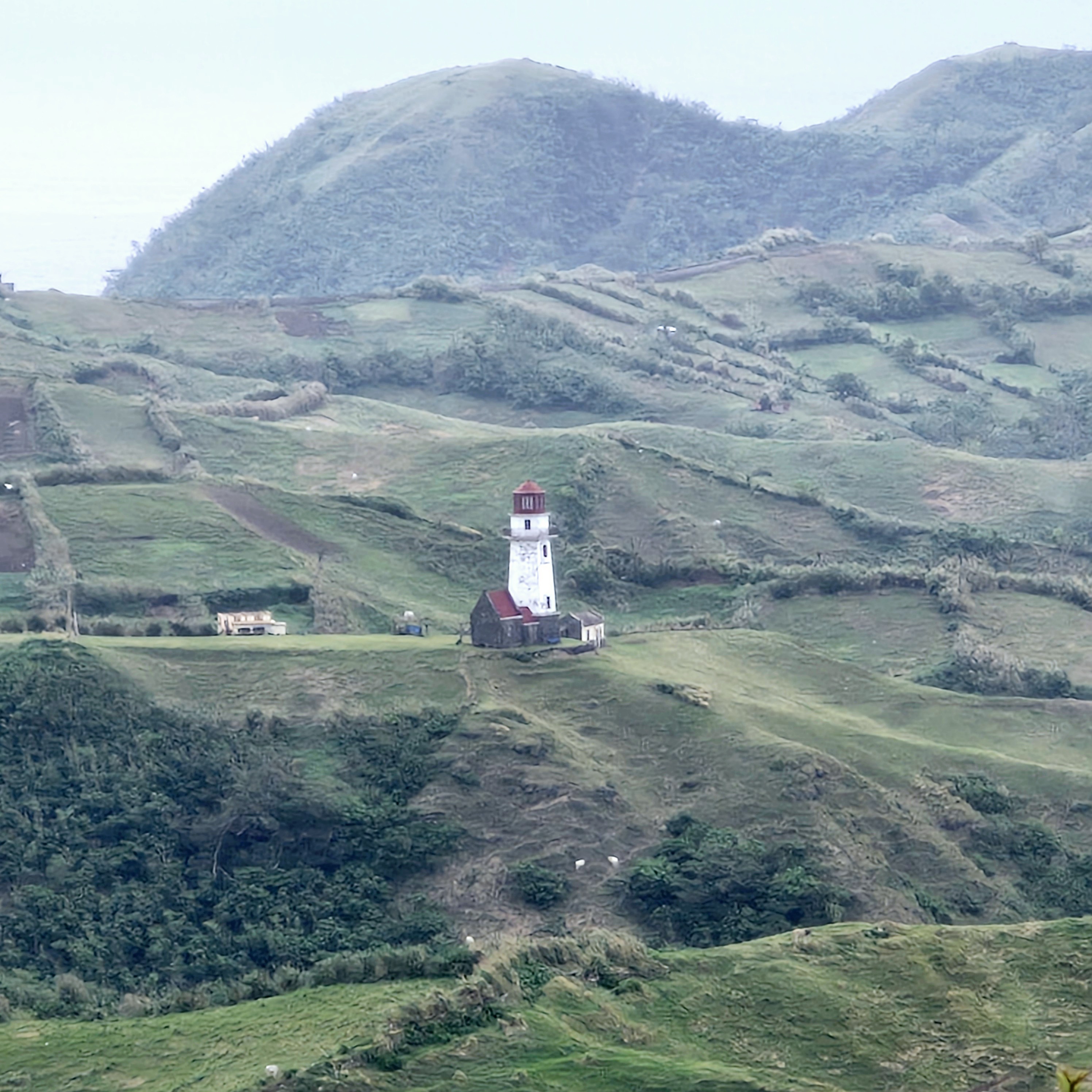
From the top of the hills, the view here is nothing short of spectacular.  We had a clear, picture-perfect view of the rugged coastline below, with cliffs plummeting down to Diura Beach and a cone-shaped islet, the Pacific Ocean on the horizon, Tayid Lighthouse, crested on an opposite hill, to the north, Mt. Iraya on the far north, and the Dingo island close by.

Tayid Lighthouse amidst hedgerows 

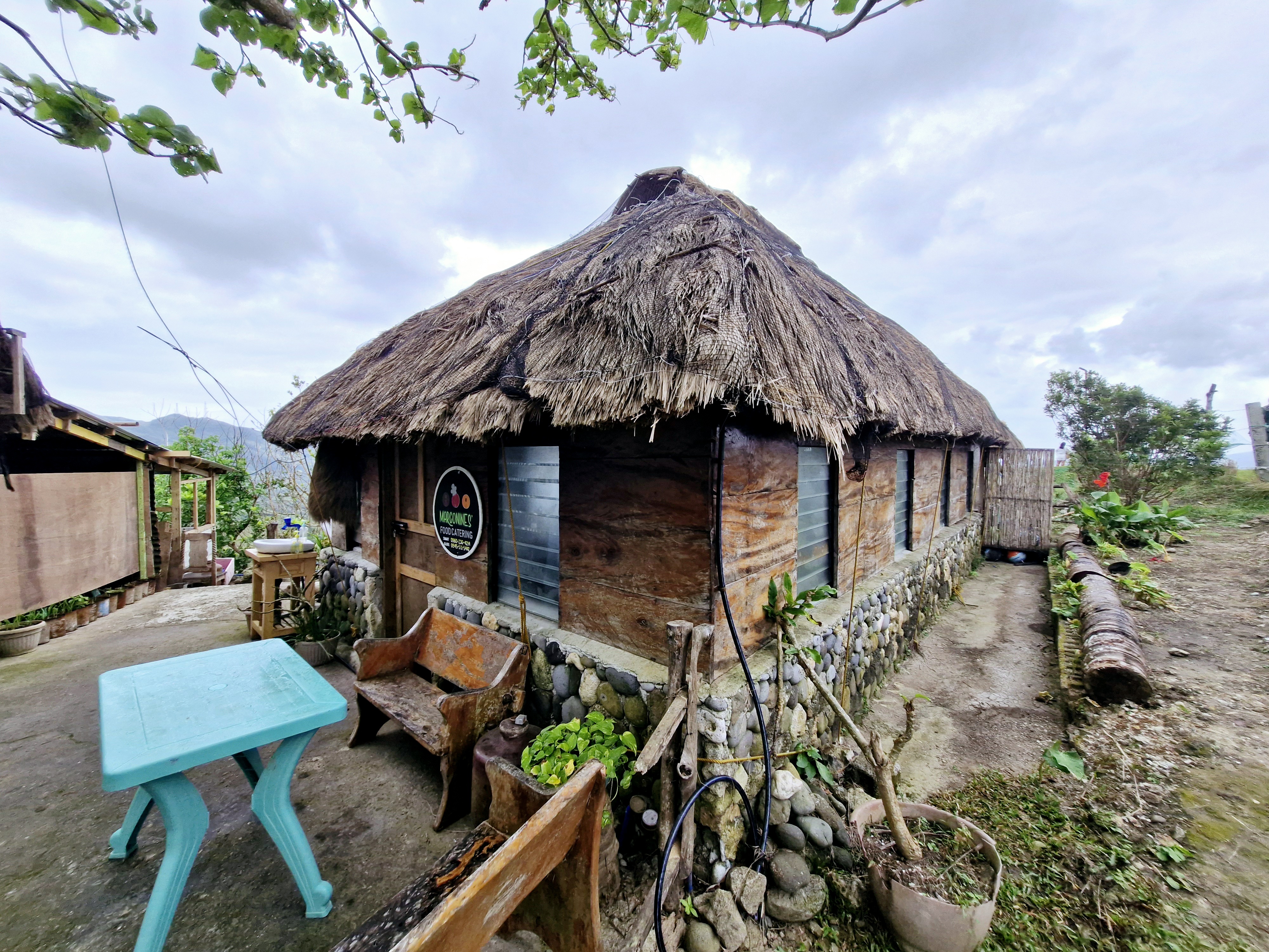
It is also a nice venue for landscape photography and kite flying. For dining, there’s Maconines Canteen which serves local dishes such as uvud, mahi-mahi, vunes, lunis and Batanes lobsters.

Marconines Canteen

Racuh a Payaman was also featured in the 2015 film You’re My Boss, starring Toni Gonzaga (as Georgina) and Coco Martin (as Pong). Here, Georgina and Pong were taking lots of selfies as the day was coming to a close.

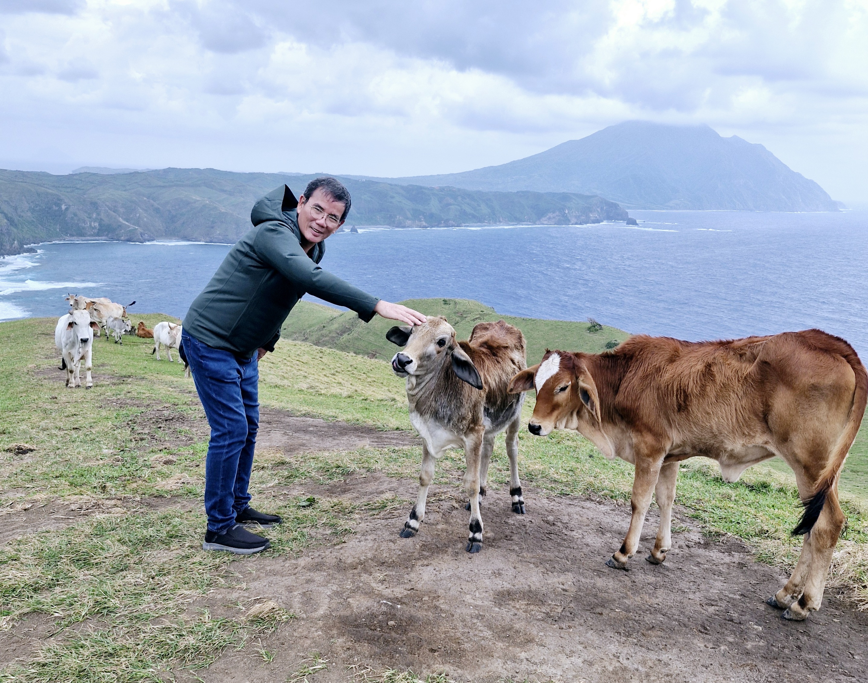
The author befriending a cow

Racuh-a-Payaman: Brgy. Uvoy, 3901 Mahatao.

How to Get There: Mahatao is located 13.4 kms. (a 30-min. drive) south of Basco. Located just between Mahatao and Imnajbu in the east-central Batan Island, this pastureland can be reached by tricycle from Basco Airport or Basco Town Proper. You can also hire a tricycle for a tour of South Batan, which includes a stop at Marlboro Country.

Chawa View Deck (Mahatao, Batanes)

Chawa View Deck

On our third day in Batanes, after breakfast at the hotel, it began to rain when we boarded our van for the 1.8-km. (a 5-min.) drive, along winding roads, to the first stop of our Southern Batan Island Tour – the breathtaking Chawa View Deck (also called Mahatao View Deck or Chanarian View Deck).  The word chawa came from the Ivatan word meaning “cliff.”

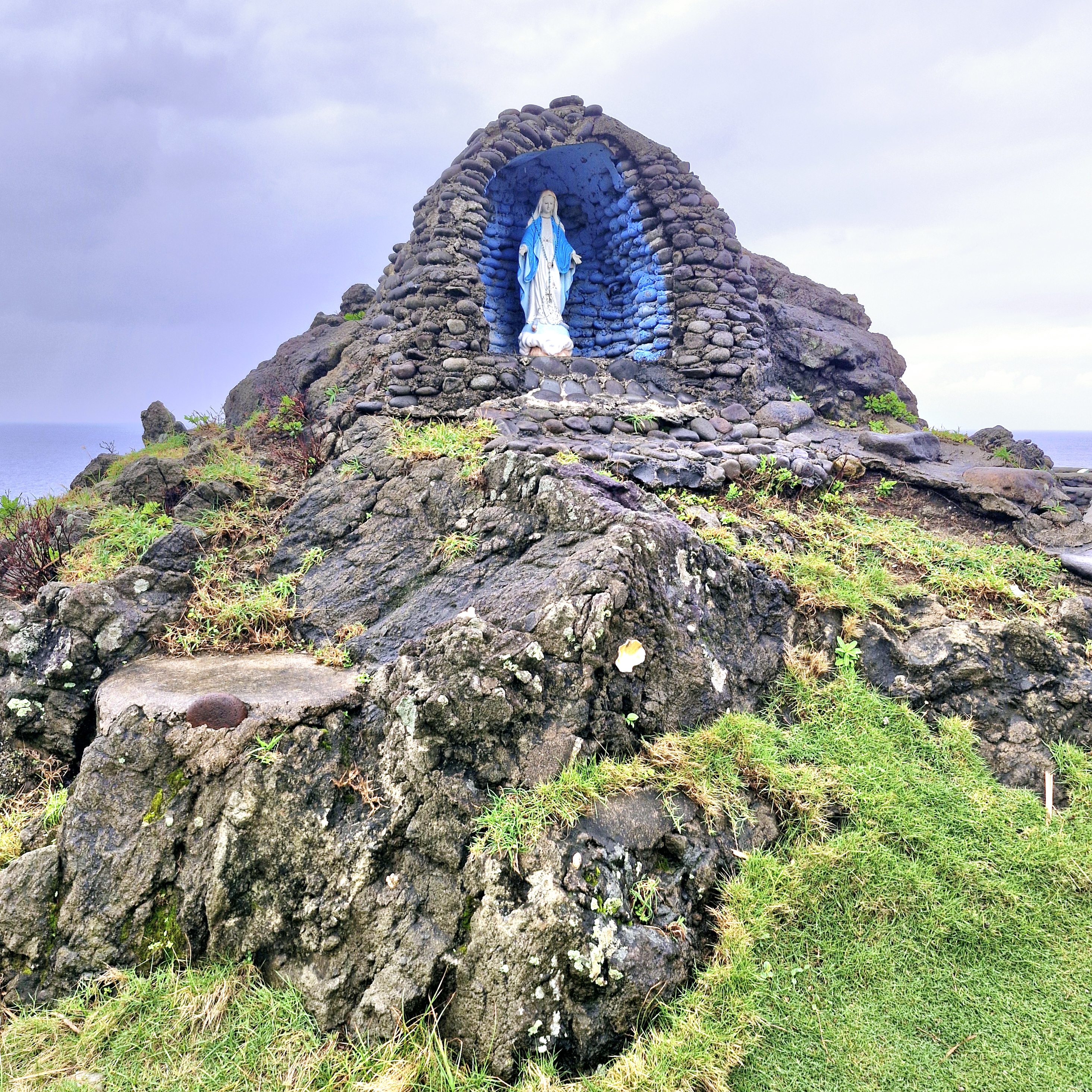
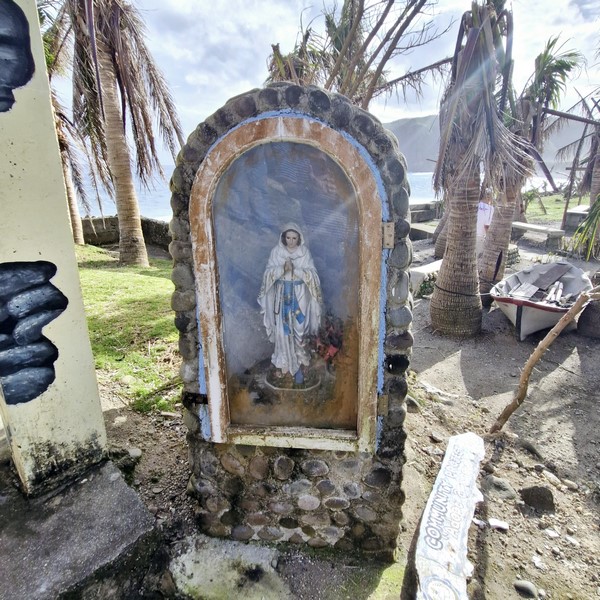
Grotto of the Virgin Mary

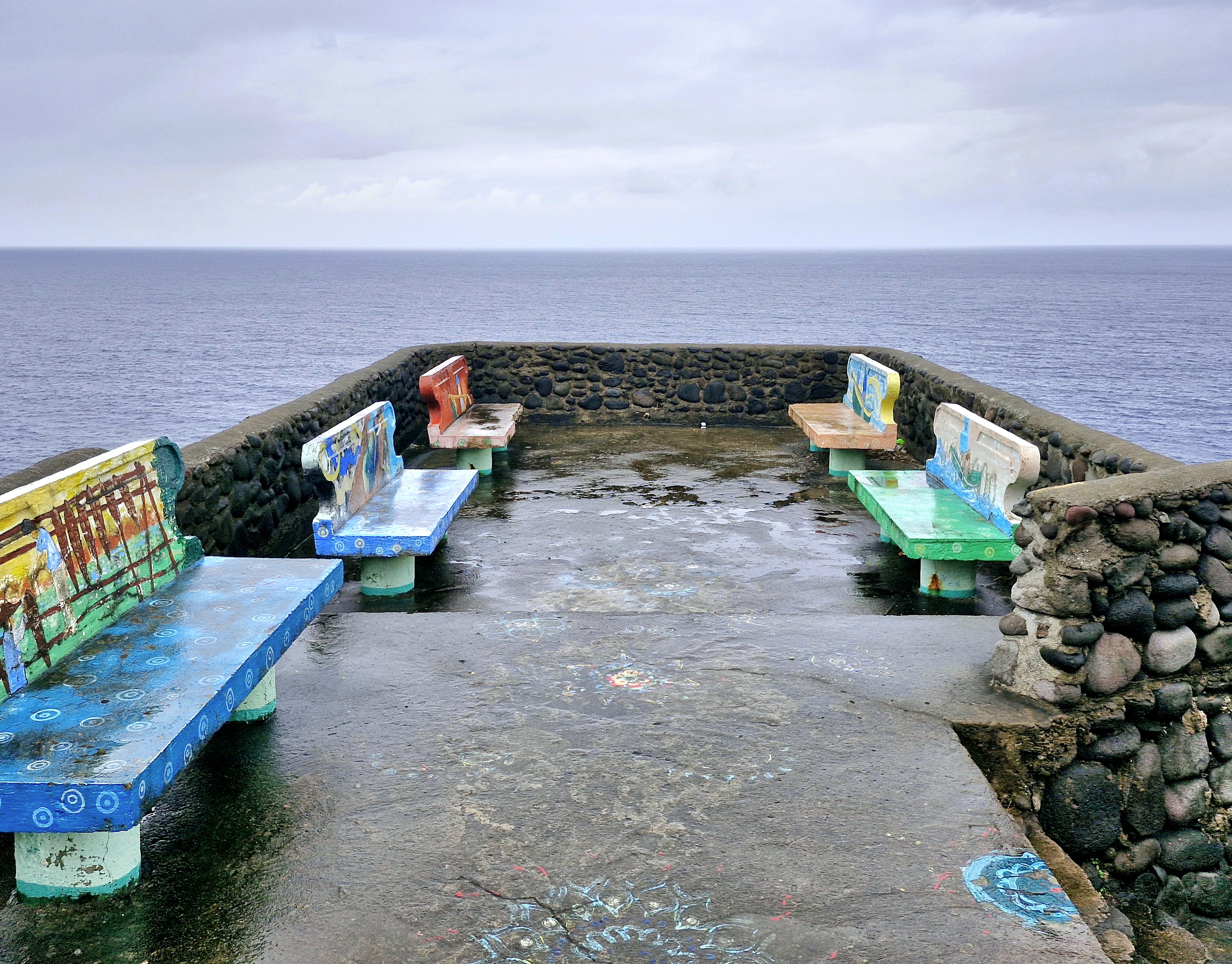
Upon arrival, we first encountered a grotto of the Blessed Virgin Mary then some concrete benches where one can sit (if it weren’t wet) and have a panoramic view of the West Philippine Sea beyond, the pounding waves below, the rolling green hills and the rugged western cliffs that hug the road to the southern towns.

View from the deck

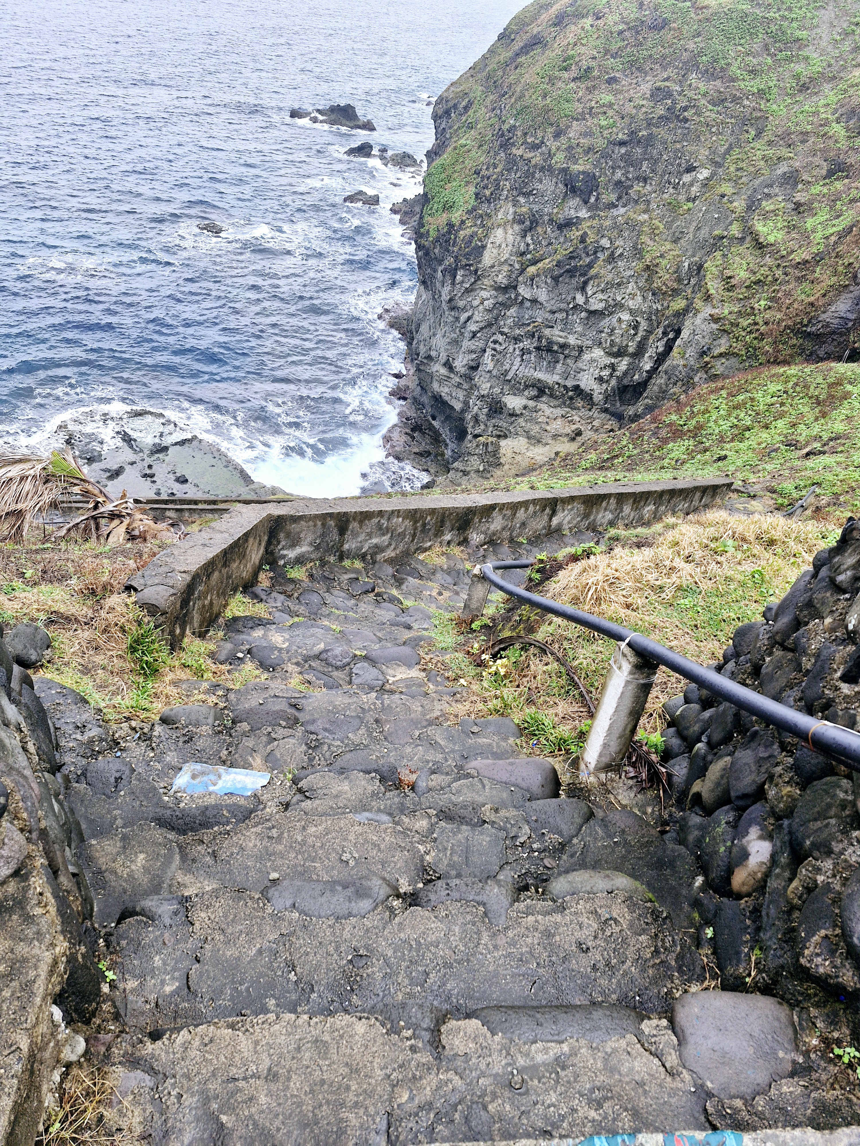
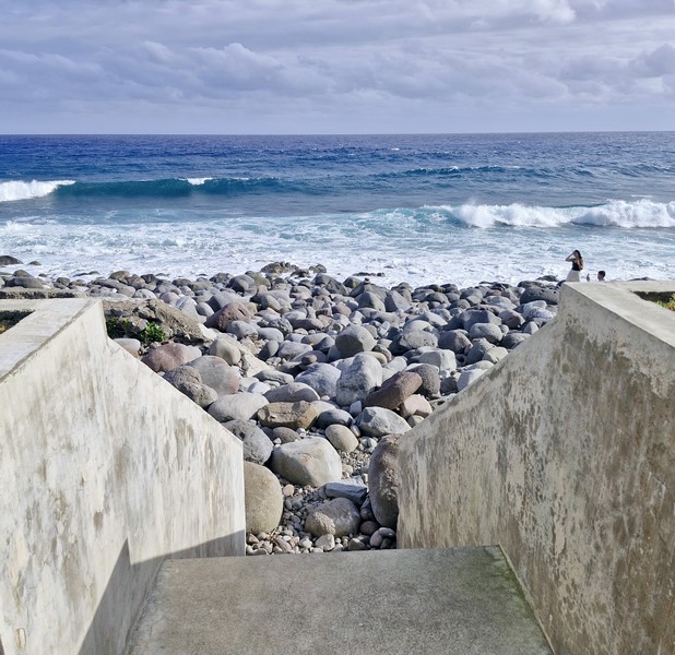
The cliff also has a steep concrete stairway, with 100 or so steps, that lead down to the sea where you can dip your feet in the cool waters, take additional photos, go fishing or just watch the waves hitting the rocks. During low tide, there is a mini pool.

L-R: Grace, the author and Jandy

We didn’t go down the stairway as climbing back up would be quite a workout and the steps were very slippery and dangerous to step on after the rain. Instead, we simply relaxed, took photos and enjoyed the breeze and the view.

Concrete steps leading down to the shore

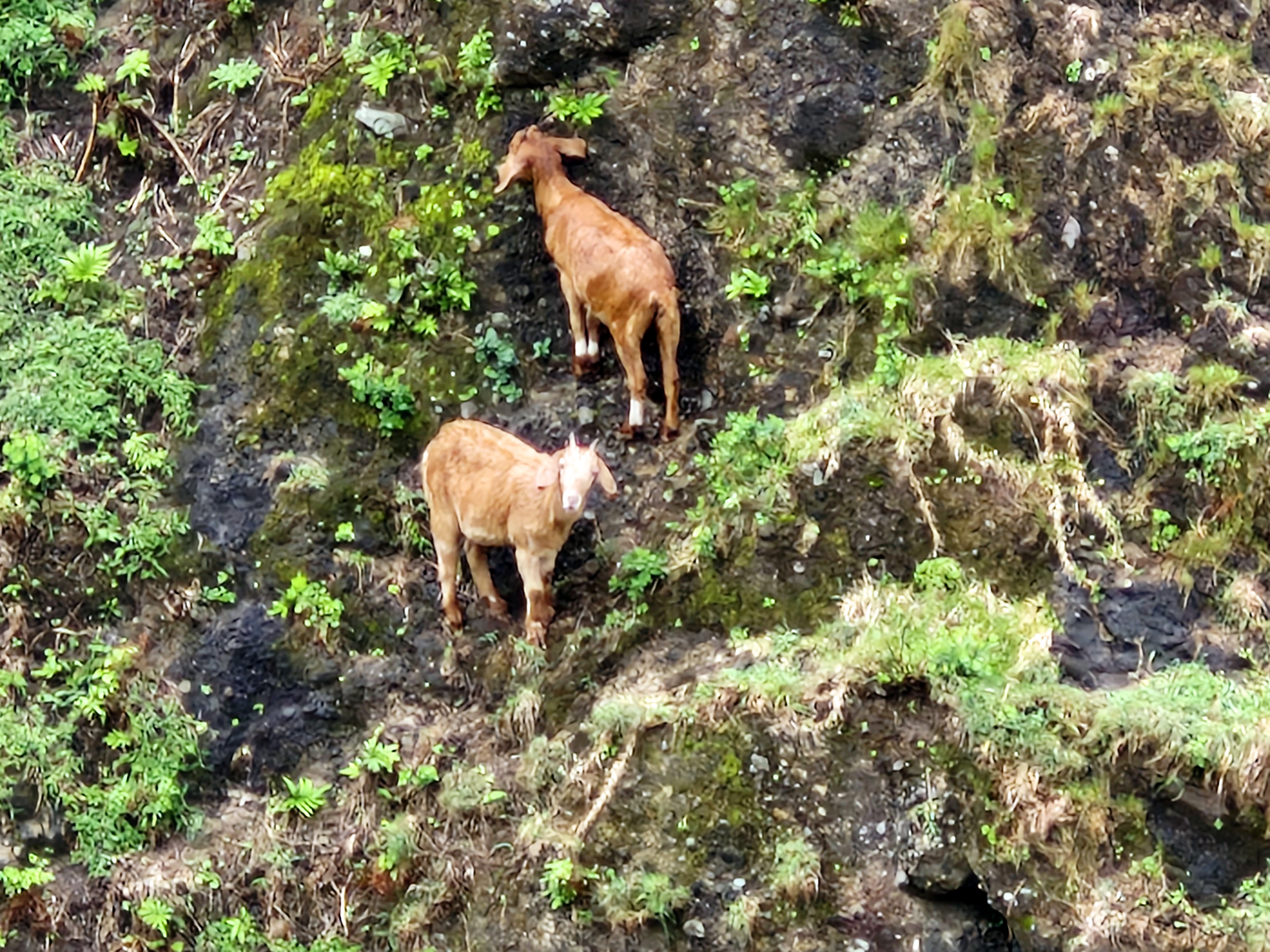
Some distance from the view deck, I espied a pair of extraordinary mountain goats defying gravity as they clung precariously off the steep mountain side.

Two mountain goats clinging precariously to the mountain sides.

Chawa View Deck: Basco National Rd., Brgy. Hanib, 3901 Mahatao. 

How to Get There: Mahatao is located 13.4 kms. (a 30-min. drive) south of Basco.  The viewing deck is located at the top of the Chawa winding road within Mahatao.

Provincial Heritage and Tourism Office (PHTO): Mobile number: (0929) 230-5934. Website: www.breathtakingbatanes.com.
Chavayan Village (Sabtang, Batanes)

Chavayan Village

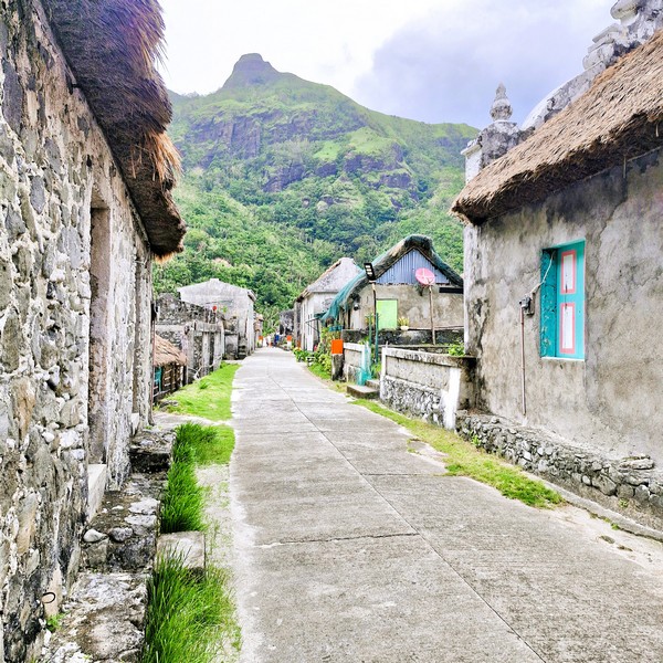
From Chamanatad-Tinan Viewpoint, it was just a short 1.1-km. drive, along a winding road, to the old, charming village of Chavayan.  The one of the smallest villages in Sabtang and the southernmost community in the province, it is situated between the mountains and the sea, facing the northern tip of Luzon Island. Here, you can find glimpses of the Ivatan way of life, now being threatened by our ever-changing world. Farming and fishing are the primary source of livelihood for the locals. The word chavayan was derived from the word cha (meaning “bountiful”) and vay, the arrowroot plant.

Check out “Chamanatad-Tinan Viewpoint”

Jandy, Grace and the author at the entrance to the village
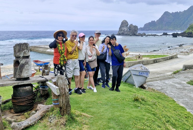
L-R: Gelyn, Jun, Lorraine, Lourdes, the author, Grace and Jandy. On the left is a now unused boat winch

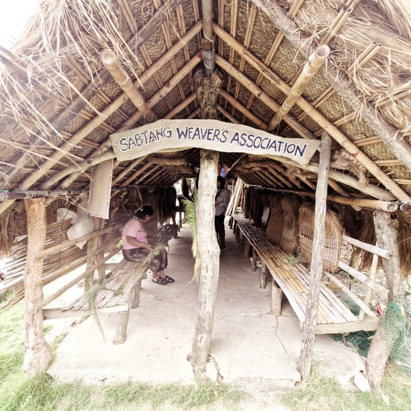
The iconic “welcome rotunda,” at the asdepen (or asdepan, meaning “entrance) signaled our arrival at the village. To its right is a small hut that serves as the shelter for the Sabtang Weavers Association, the most prominent feature of the village.

Sabtang Weavers Association

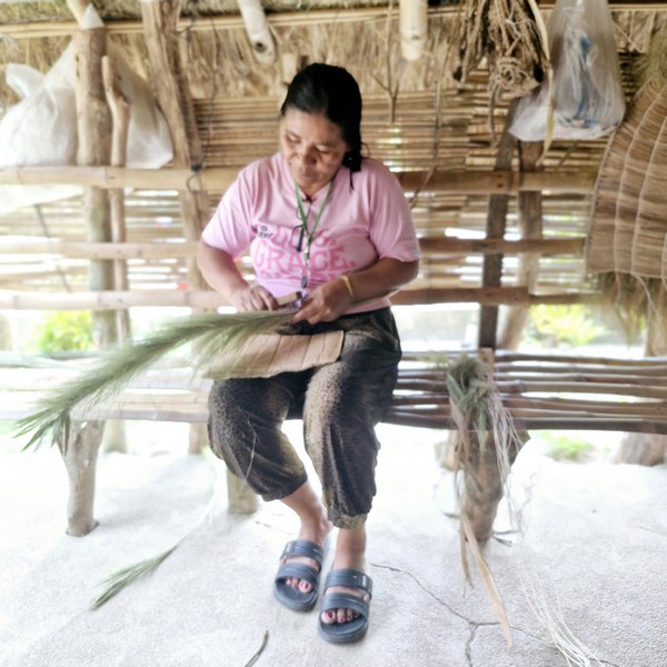
Here, we watched old womenfolk traditionally weaving unique souvenir items such as the soot, an Ivatan cape carefully made from finely stripped and dried banana or voyavoy palm leaves, which serves as protection from the scorching heat of the sun or the wind and rain.

Woman weaving a vakul

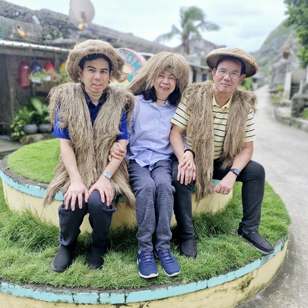
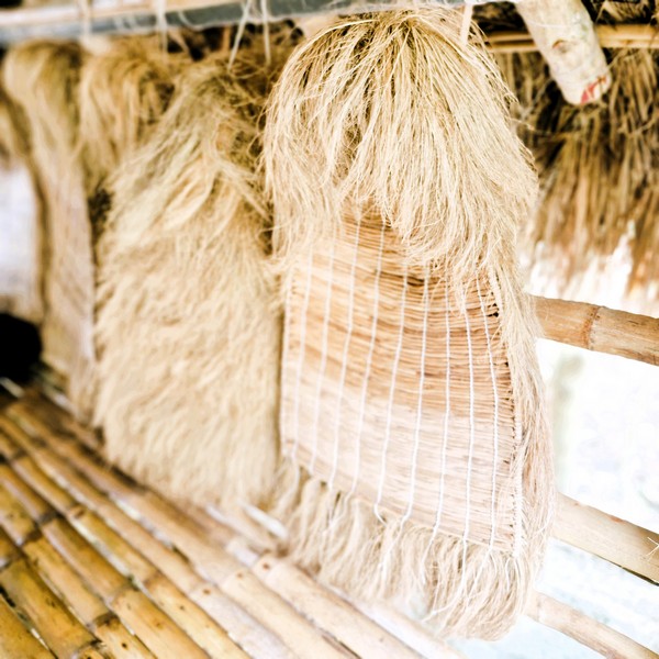
The vakul is a woman’s soot that covers the head and back and protects the wearer from the sun, rain and wind, keeping themselves cool during the long hours of work in the field.  The kanayi, on the other hand, is a man’s soot made with voyavoy palm leaves or dried abaca stalks.  Worn on the shoulders, it takes three weeks to a month to make but it lasts a lifetime. The talugong, a men’s headgear, normally goes along with the kanayi.

Vakul

Also displayed at their showroom are other handicrafts made out of grasses and palm trees such as abaca bags, purses, pasikin (basket), salakots,home decorations, and other handicrafts.  For photo ops, Grace Lorraine, Lourdes and Gelyn  tried out a vakul  (rented for only PhP20/vakul/person) while Jun, Jandy and I suited up with a kanayi and talugong.

A sinadumparan

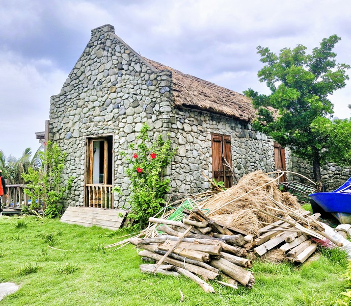
Later on, we walked along the narrow street and its rows of old sinadumparan (one of the three classes of stone houses on Batanes) stone houses, a style introduced by the Spaniards when they landed in the province during the late 1800s and some of them are already more than 100 years old.  To preserve the architecture and design of the traditional houses, the provincial government has declared this villages as well as the village of Diura in Mahatao as cultural zones.

Chavayan Theater

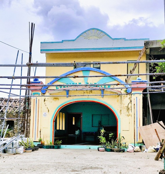
These houses have thick walls are made with powdered limestone and corals, while the roofs are made of thatched cogon grass. Here, you can find the traditional detached Ivatan kitchen. The area has no commercial buildings and cellular site around and the life of the locals here are preserved and traditional.  The village does have a “teatro” (theater) where events are held.

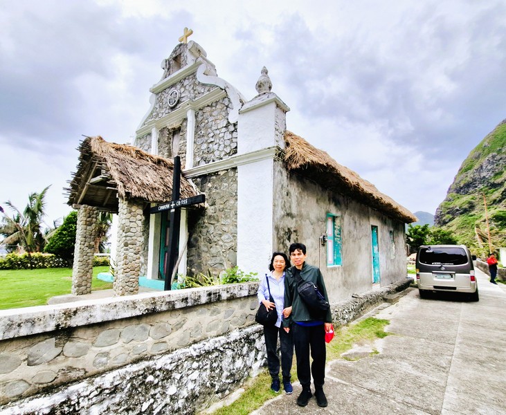
Grace and Jandy in front of the Chapel of St. Rose of Lima
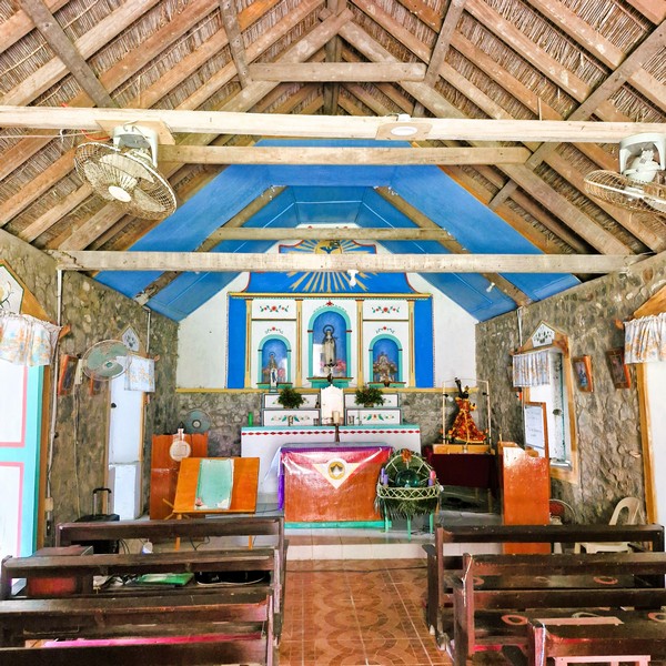
Interior of the chapel

Further out, located 10 m. from the beach, is the beautiful Chapel of St. Rose of Lima, the only house of worship in the islands that is still in its traditional form, with cogon grass as roofing.  With a pastel-colored façade, it was built, from 1951 to 1959, via Ivatan spirit of yaru (similar to the Filipino concept of bayanihan) organized by the late Ireneo Hornedo (who was also responsible for building the Chavayan “teatro” and the “welcome rotunda”).  Before venturing out to fish or farm, community prayers are held here before dawn, as villagers offer petitions for safety and abundance.

Monument of Satisfaction

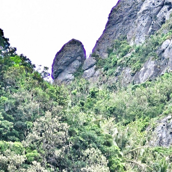
Looking up into the cliff, you can make out Mother Nature’s most perfect sculpture; the phallic-looking Monument of Satisfaction. A small store, at the opposite end (avuyi) of the village, sells Chavayan-made native slippers or sandals, fondly called chavayanas,which fishermen use as protection for their feet on shallow, rocky coastal areas.

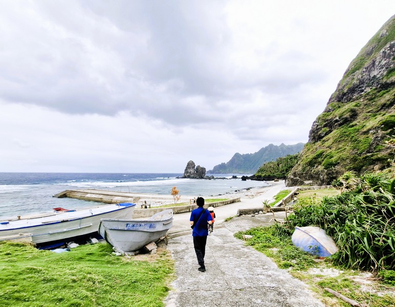
The road leading to the beach

On the beach near the village, a popular photo spot, are the Kissing Rocks of Chavayan Village, two unique and imposing rock formations, along the serene and breathtaking bay, that appear to “kiss’ or come close together.

The “Kissing Rocks of Chavayan Village”

Chavayan Village: National Rd., 3904 Sabtang.

How to Get There: Sabtang, on Sabtang Island, is located close to the port.  There are scheduled 30 to 45-minute early morning boat trips by falowa (round-bottomed boat) from Ivana’s Radiwan Port to Sabtang.  From the port, you can rent a tricycle to take you to the viewpoint.

Sabtang Tourist Information Center: Brgy. Sinakan, 3904 Sabtang.  Mobile number: (0929) 226-8055.  E-mail: tourismsabtang@gmail.com.

Provincial Heritage and Tourism Office (PHTO): Mobile number: (0929) 230-5934. Website: www.breathtakingbatanes.com.
Chamantad-Tiñan Viewpoint (Sabtang, Batanes)

Chamantad-Tinan Viewpoint

From Savidug Village, we all boarded a van for the 4,1-km. (10-min.) drive Chamantad-Tiñan Viewpoint.  One of the highest viewing sites in Sabtang Island, this is where tourists can enjoy the view of Chamantad Cove below and, beyond, Balintang Channel and Batan Island. This vast landscape, seated near the cove, is renowned for its curvy grass-carpeted scenery.

Jandy and Grace

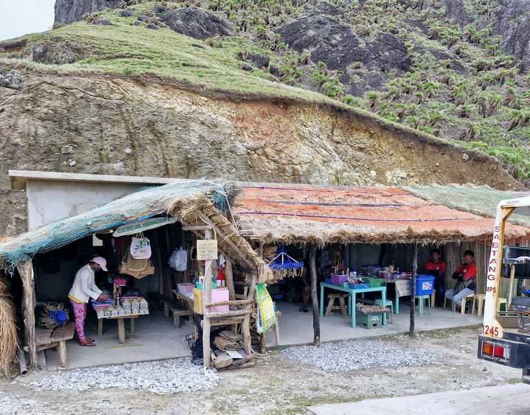
Before reaching the view point, there were plenty of huts along the highway offering a sample of their local sugarcane wine and Ivatan wild tea called tubho. At the entrance itself, there are huts where you can buy souvenirs and even taste, for free, some local delicacies as well as coconut and sugarcane wine.

Upon arrival, a calming atmosphere was provided by the sweeping landscapes and natural beauty of the vibrant colors of the rustic, rolling hills (especially during sunrise and sunset), a gentle breeze and the sound of the inviting waves crashing against the beautiful cliffs below. I could stare at this exquisite view all day.

The equivalent of Batan Island’s Racuh a Payaman and Vayang Rolling Hills, it was just beyond words and photos don’t do it justice.  Truly, Sabtang does not disappoint when it comes to rugged, breathtaking scenery and magnificent views.

Check out “Racuh a Payaman” and “Vayang Rolling Hills”

For those hiking, the 10-15-min. journey to the viewpoint is a scenic adventure in itself as it allows one to appreciate the rich biodiversity of the place. The rolling hills conquering the area come in a variety of low and high slopes giving visitors different perspectives. You can also see mountain goats climbing and balancing off the cliffs.  From here, a short walk will take you to the seascape lined with powdery white sand and small to medium-sized stones.

Souvenir shops
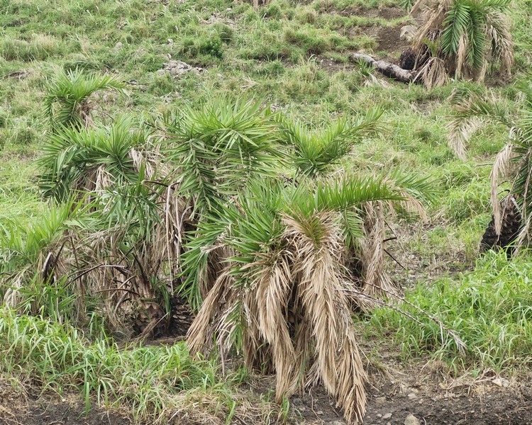
Voyavoy (Phoenix loureirii var hanceana) along the hillside

Chamantad-Tiñan Viewpoint: National Rd., Brgy. Chavayan, 3904 Sabtang.

How to Get There: Sabtang, on Sabtang Island, is located close to the port.  There are scheduled 30 to 45-minute early morning boat trips by falowa (round-bottomed boat) from Ivana’s Radiwan Port to Sabtang.  From the port, you can rent a tricycle to take you to the viewpoint.

Sabtang Tourist Information Center: Brgy. Sinakan, 3904 Sabtang.  Mobile number: (0929) 226-8055.  E-mail: tourismsabtang@gmail.com.

Provincial Heritage and Tourism Office (PHTO): Mobile number: (0929) 230-5934. Website: www.breathtakingbatanes.com.

Morong Beach and Ahaw Rock (Sabtang, Batanes)

Morong Beach

Upon arrival at Sabtang Port, we all boarded our van for the short 1.8-km. drive to our first part of our day tour of Sabtang Island – the short, 300 m. long, pristine white sand Morong Beach(also called Nakabuang Beach orWhite Beach).

Arrival at Morong Beach
L-R: Jun, Lorraine, Lourdes, Gelyn, Grace and the author

Noted for its wild and natural beauty and unique rock formations, it is surrounded low, grass-covered hills on all sides and is probably the most well-known of all the beaches fringing the coast of the island. 

Despite the province’s usual rough weather, its less-ferocious, glass-like turquoise waters is peaceful and friendly enough for swimming, snorkeling and beachcombing. Giant sea turtles come here to lay their eggs and juvenile tiger sharks patrol its waters.

Ahaw Rock

In one area of the beach is a natural sandstone rock formation, called Ahaw Arch or Nakabuang Arch, where you can pass through.  It is iconic, not just for the island, but for Batanes as a whole. This rock formation is a favorite spot for picnickers.

Waves crashing on the rocky shore

The beach’s few amenities include bathroom facilities and shaded areas with picnic tables.  There are no cottages here. Along the beach is the Paypanapanayan Canteen which serves authentic Ivatan dishes.  Also nearby is the Sabtang Weavers Association Café.

A sea-sculpted cave

Morong Beach: Sitio Morong, Brgy. Malakdang, 3904 Sabtang.

How to Get There: Sabtang, on Sabtang Island, is located close to the port.  There are scheduled 30 to 45-minute early morning boat trips by falowa (round-bottomed boat) from Ivana’s Radiwan Port to Sabtang.

Sabtang Tourist Information Center: Brgy. Sinakan, 3904 Sabtang.  Mobile number: (0929) 226-8055.  E-mail: tourismsabtang@gmail.com.

Provincial Heritage and Tourism Office (PHTO): Mobile number: (0929) 230-5934. Website: www.breathtakingbatanes.com.
Vayang Rolling Hills (Basco, Batanes)

Vayang Rolling Hills

From Basco town proper, it was just a short 2.1-km. (5-min.) drive to our next destination – the famous Vayang Rolling Hills.  One of the most picturesque sights in the province, it is covered in verdant grass and patches of green trees.  These seemingly endless wave of hills, shaped by water and wind that gave them the undulating look they now have (as if they’re really “rolling”), are a perfect spot to relax and take in the province’s serene and laidback atmosphere.
The author, Grace and Jandy

Aside from the majestic sea of green grass, we also enjoy an unobstructed, beautiful and breathtaking view of the east and west side of Batan Island, with hedgerows (liveng) and Naidi Hills, on the one side, and of the Chadpidan boulder beach below, with waves crashing to the shore.

Mt. Iraya

Beyond is the majestic Mt. Iraya, Sabtang Island, Itbayat Island, and the deep blue West Philippine Sea. We also saw a number of healthy cows freely grazing on the grass in the hills and gentle slopes as many parts of Vayang are farmland (it is also called Vayang Ranch). Truly like Scotland in a tropical setting.

Cows grazing at the slopes

It is suggested that you visit this scenic viewpoint at around 5 PM, when the sun begins to set, as you could see the sky turn a warm shade of orange over the hills and islands.  The concrete road that crosses the site leads to Valugan Boulder Beach, another famous tourist spot on Batan Island.

Check out “Valugan Boulder Beach”

Hedgerows (liveng)

It was so windy that day that we were literally, as well as figuratively, blown away, making it hard to take decent pictures with hair flying all over the place.  Aside from being a favorite tourist destination, Vayang Rolling Hills is also a great place for pre-nuptial photo shoots. 

The West Philippine Sea seen beyond the hills

Vayang Rolling Hills: Songsong-Iraya Rd., Brgy. San Antonio, 3900 Batanes.

Valugan Boulder Beach (Basco, Batanes)

Valugan Boulder Beach

After our tour of the Dipnaysuhuan Japanese Tunnel, we gain boarded our van for the 8.3-km. (20-min.) drive to the 3-km. long, scenic Valugan Boulder Beach.

Check out “Dipnaysuhuan Japanese Tunnel”

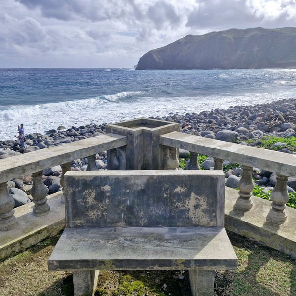
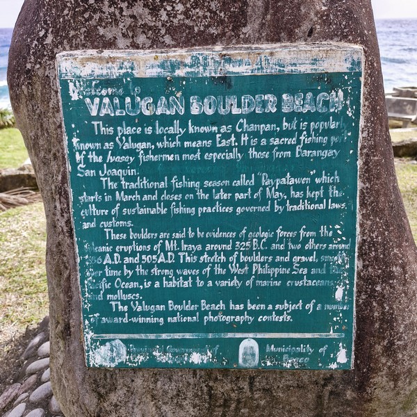
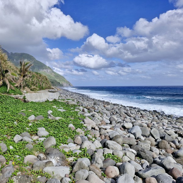
Known to the locals as Chanpan, this beach is located along the eastern (valugan means “east” in Ivatan) coast of Batan Island is, as its name suggests, made up of medium to big size boulders, of different colors, that help create an incredible landscape framed by almost vertical cliffs and rolling hills. Smaller pebbles and shingles litter the southern end.

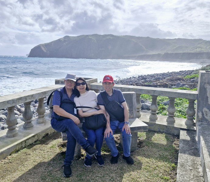
The author (left) with Grace and Jandy

The boulders here were said to have been coughed out around the northern half of Batan during a series of volcanic explosions, from 325 B.C. and 286 to 505 A.D., of Mt. Iraya, a nearby active stratovolcano, which also contributed to the formation of the impressive cliffs and rolling hills framing the beach.

Mt. Iraya seen at the end of the beach

These rough andesite rocks were then slowly polished, over time, by the tides and the mighty wind (which also help shaped the striking basalt cliffs) pushing the restless waves of the Pacific Ocean to lap the rough rocks.

The different size boulders along the beach

From the beach, only the loud whistling of the wind and constant rumbling of the Pacific Ocean can be heard as the waves come slapping the shore. While it is a beach, swimming is not allowed here due to the area’s rough terrain and the strong and unpredictable waves. Bringing home any stones from the beach is also prohibited.

The concrete viewing deck with benches

On the rightmost area of the beach are small, intentionally segregated Zen stones piled on top of each other.  Surprisingly, this surreal and breathtaking landscape makes for a relaxing setting especially for photographers who come here to catch the sunrise.

Stairs leading down to the beach

The waters off the coast are considered as a sacred fishing area of Ivatan fishermen (especially those from Brgy. San Joaquin) and the faypatawen, a traditional fishing season, is observed from March to the end of May. 

Grotto of the Blessed Virgin Mary

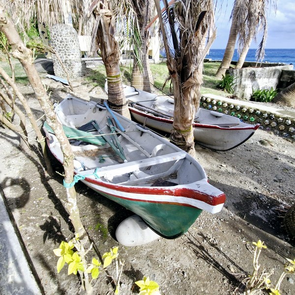
A tataya (a small, traditional Ivatan fishing boat)

Valugan Boulder Beach: Contra Costa Rd., 3900 Basco. 

How to Get There: Located 3 kms. from Basco town proper, this beach is just a short tricycle ride away. You can hire a tricycle to take you around North Batan, which includes Valugan Boulder Beach.

Delta Discovery Park (Butuan City, Agusan del Norte)

Delta Discovery Park

Part of Almont Inland Resort-sponsored Tour

On our second day in Butuan City, Ms. Debra Rutz Tanginan (Media Marketing Officer of Almont Inland Resort) brought Jandy and I to the 15-hectare (36.8 acre) Delta Discovery Park, a 7.6-km. (15-min.) drive from the resort.

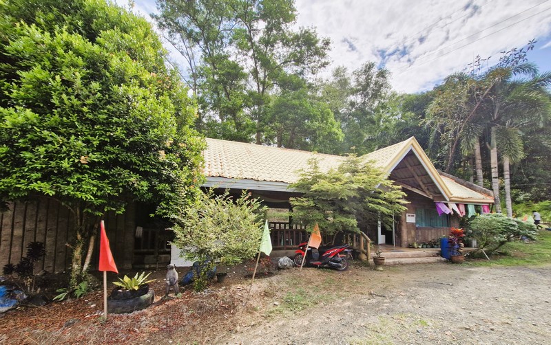
Welcome Pavilion

Opened in May 2011, this captivating eco-tourism destination, offering a rich blend of adventure and nature, is home to what is touted as the longest zipline in the country (and in Asia) at 1.3 kms. long and, for adrenaline junkies like us, this was an opportunity we just shouldn’t miss out on.

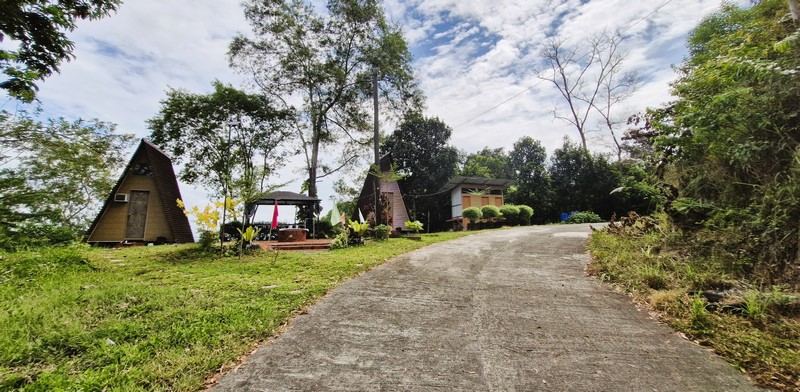
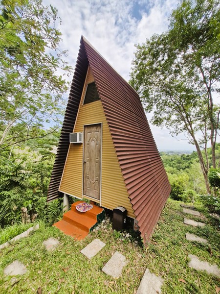
Two A-frame cottages with a view deck in between

Upon arrival, we registered and paid for the zipline ride (Php500/pax) at the reception area of the park’s Welcome Pavilion.  That done, we walked all the way to the base of a concrete stairway that winds up a hill.

A-Frame Cottage

Before reaching the stairway, we passed a couple of A-frame, airconditioned cottages, along a ridge, where guests can stay overnight (check out video here).

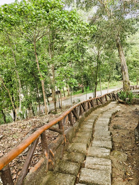
Stairway going up to the waiting shed

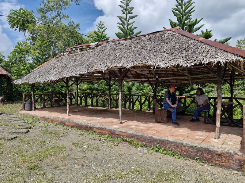
Jandy and Debra at the waiting shed

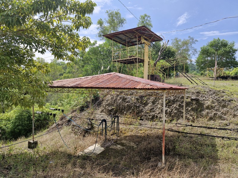
Between the two cottages was a concrete view deck with a spectacular view of the valley below. We then went up the stairs (check out video here) to a wood and nipa waiting shed where we rested for a while.  Across the shed was a steel zipline landing platform.

The 1.3-km. (top) and 400-m. (below) zipline platforms.

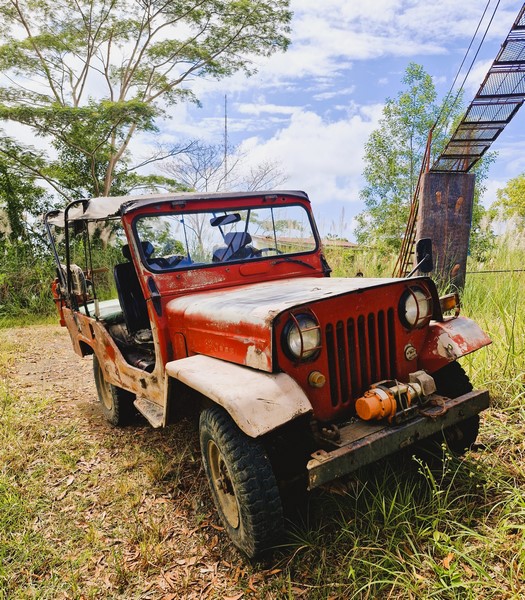
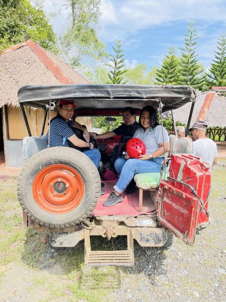
The 4 x 4 Jeep we rode going up the hill

After a few minutes, a beat up, canvas soft top 4 x 4 Jeep arrived to bring us to the top of the hill and the zipline staging area.  The 5-min. long Jeep ride was part of the adventure and a thrill in itself as we were driven, on off-road tracks, over rocks and potholes.

All aboard…..

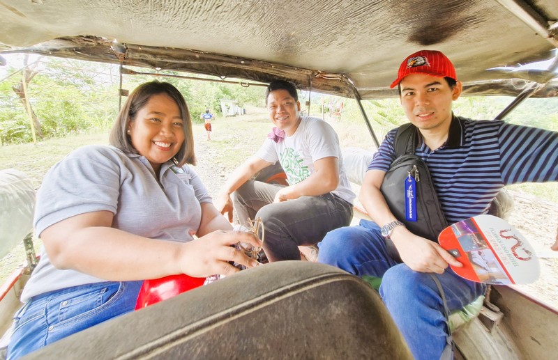
Debra, our driver and Debra on board our Jeep

Midway through the trip, we passed a building, this time a dorm where groups can also stay overnight. Like the zipline, the Jeep ride was not for the faint-hearted but, for us, it was fun as we literally jump on our seats with each pothole (check out video here).

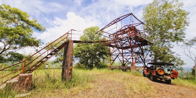
The 1.3-km. zipline platform

Jandy, the author and Debra

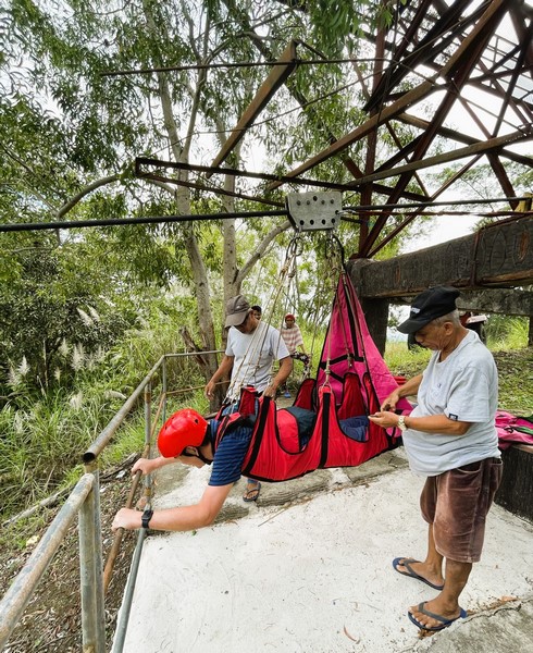
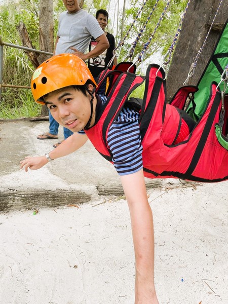
All suited up….

The piece de resistance, of course, was the zipline ride.  Upon reaching the top of the hill, we disembarked from our Jeep and climbed the steel stairs up to the concrete and steel platform.  I decided to try the zipline first, followed by Jandy and, lastly, Debra.

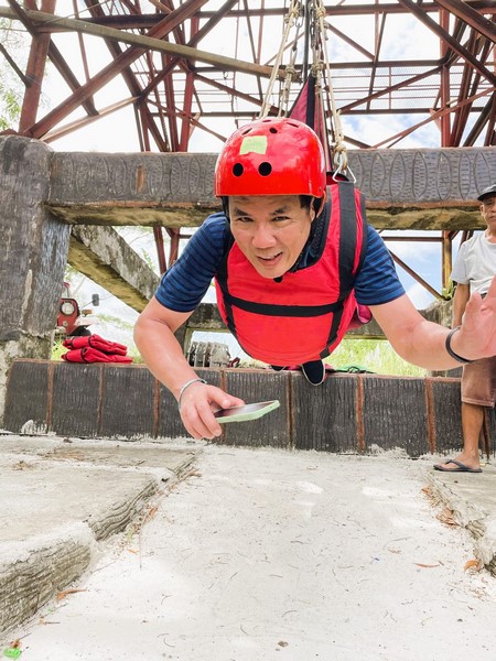
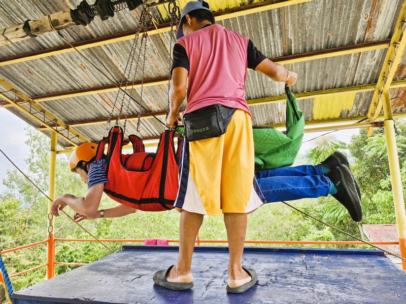
The author all suited up and ready to go Superman style …..

Jandy’s next….

After donning my helmet, I was strapped into the horizontal, Superman zipline harness.  Once strapped, suspended and ready and facing forward, I was shoved down the line and on my way to the ultimate exhilarating “flying experience” as I “flew,” head first, with the wind blowing into my face, down the zipline (check out video here)

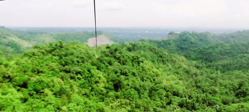
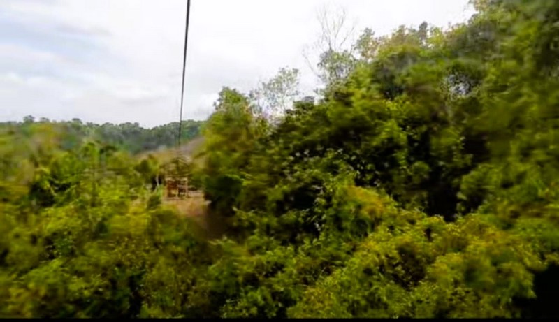
For nearly two minutes, I glided, at high speed (probably in excess of 60 kms./hour), 120 m. above the ground, over the green canopy of a scenic valley, then zip through the middle of a narrow gulley (giving me the feeling that I might scratch the sides), before emerging into another green valley as I approached the end of the line.  Truly an adrenaline rush of speed and the mesmerizing beauty of the green landscape and the winding Masao River….

The first valley I crossed…..

Jandy and Debra followed one after the other, all feeling the same rush as I did.  After our thrilling zipline, we descended down stairs and walked backed to the Welcome Pavilion.

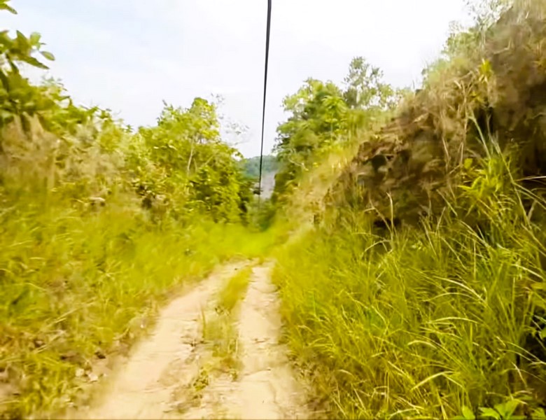
The narrow gulley….

The park also has another shorter, more relaxing 400-m. long zipline (Php350/pax) that goes over a small canyon.  These 2 ziplines gives it the capacity to entertain up to 250 riders per day. They also have a swimming pool fed by a small waterfall, a butterfly sanctuary and eco-trails.

Approaching the end of the line…..

Delta Discovery Park: Purok 7 Ugabang, Brgy. Bonbon, Butuan City, 3600 Agusan del Norte.  Tel: (085) 345-8891.  Mobile numbers: (0975) 717-4505 and (0912) 444-2946.  Open daily, 9 AM – 5 PM.  Other rates: Entrance viewing (Php35/pax), Swimming Pool (Php50/pax), Cottages (Php350, Php400 and Php500), Table (Php200).  A-Frame House Overnight Rate (Php2,500, maximum of 5 pax, 2 PM to 10 AM).  Short Time Rate (Php500 for first 3 hours, maximum of 5 pax). 

How to Get There: Cebu Pacific Air has 20 daily flights from Manila to Butuan City. From the city center, ride a jeepney and drop off at the turn-off to Brgy. Bonbon.  From there, take a habal-habal (motorcycle) ride to the park. 

Almont Inland Resort: J. C. Aquino Ave. (formerly Zamora St.), Brgy. Imadejas, 8600 Butuan City.  Tel: (085) 300-0296. Mobile number: +63977 674 3412. Email:  fo.inlandresort@almont.com.ph. Website: www.almont.com.ph/almontinlandresort.