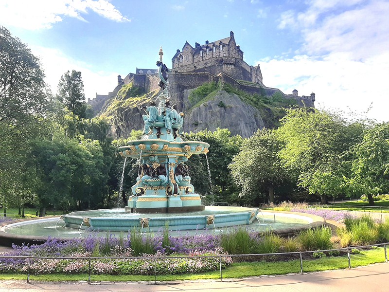
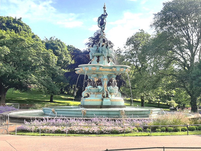
Ross Fountain with Edinburgh Castle in the background
The highlight of our visit to the Princes Street Gardens was our photo ops at the Ross Fountain, the focus of the western end of the gardens and the park’s most important monument. This fountain, made from cast-iron, is a shining example of magnificent 19th century sculpture. Photographs of the view up to the famous Edinburgh Castle from the Gardens, with this fountain in the foreground, has featured heavily in some of the iconic imagery of Edinburgh over the years.
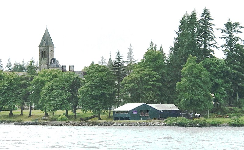
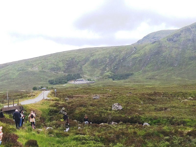
Check out “Princes Street Gardens”
At an exhibit at the Great Exhibition of 1862, an exhibition of modern art, technology and invention in London, it was purchased, on a moment of impulse and as a philanthropic gesture, by Edinburgh gunsmith Daniel Ross (who described it as “obtaining universal admiration”), in September 1869, for £2,000 and, subsequently, gifted to the city of Edinburgh.
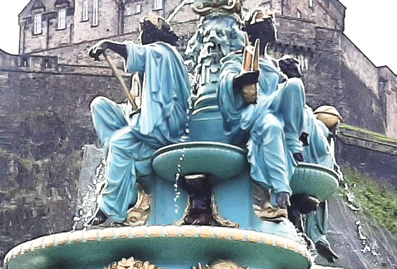
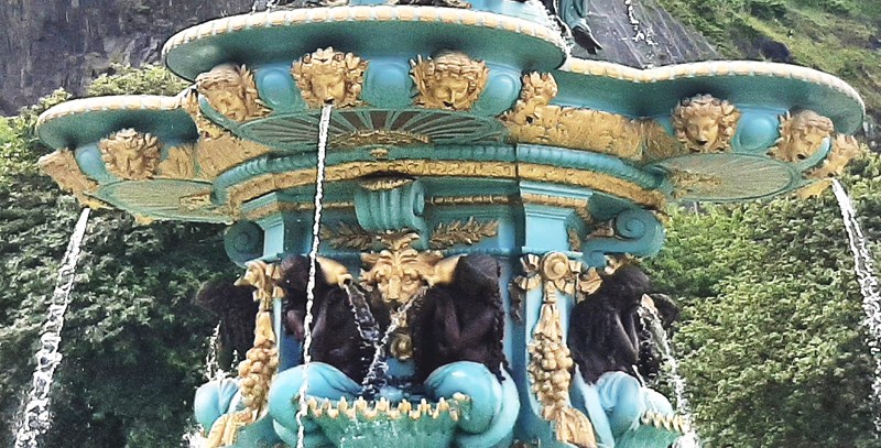
The four female, greater than life size figures representing Science, Arts, Poetry, and Industry
That same year, it was transported to Leith, in 122 individual pieces, but sat in storage for a decade while the city council considered where they were going to put it. In 1872, it was reassembled, in its current position, at Princes Street Gardens, only a few hundred yards from the Ross Bandstand. Sadly, David Ross died in January 1871, one year before, missing the opportunity to see the masterpiece displayed in the gardens.
Some of the 8 voluptuous mermaid statues, with bared flesh, holding overflowing urns, and sitting on scallop-shell basins with lion’s heads between
In 2001, as broken pipes had made the fountain inoperational, the fountain had some extensive restoration work completed. In 2008, water was turned off and, from July 2017, it was closed again for further restoration work, costing 1.9 million pounds, undertaken by Lost Art Limited of Wigan on behalf of The Ross Development Trust. On July 8, 2018, it was re-inaugurated by Lord Provost Frank Ross and others, including the Head of Mission at the French Consulate in Edinburgh Emmanuel Cocher.
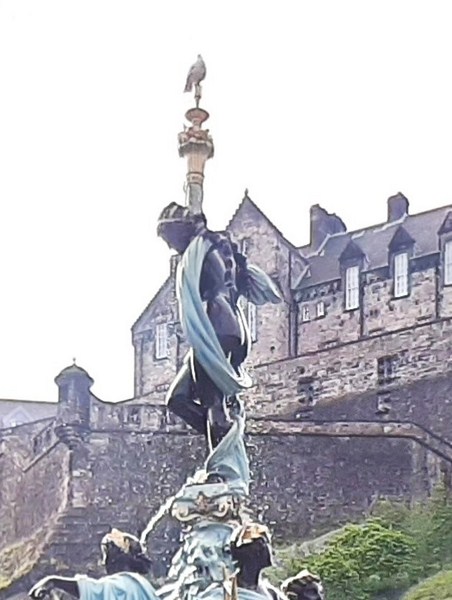
The beautifully modeled and semi-naked female figure, holding the topmost cornucopia, which scandalized Victorian Edinburgh at the time.
The fountain, now with a new pump that will be switched on permanently, is now painted in eye-catching turquoise, brown and gold which, according to the organizers, should last for at least 20 years. The figures were sculpted by artist Jean-Baptiste Jules Klagmann (b. April 1810) whose other work includes figures for the Louvre and D’ Medici fountains in Luxembourg Gardens in Paris. It is also unusual in that, rather than having been produced by one of the great Scottish foundries of the day, it was produced at the iron foundry of Antoine Durenne, ‘Maitre de Forges, Sommevoire Haute Marne’ in Sommevoire, France.
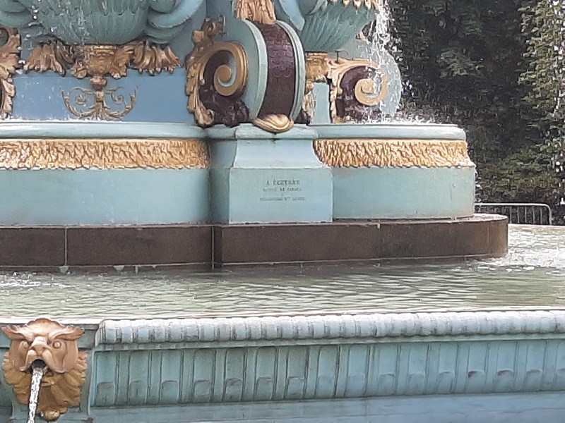
The fountain’s circular basin has curved Craigleith sandstone edges and the first elevated basin is decorated with stylized “walrus” heads round the edge. The first tier of the central column has 8 voluptuous mermaid statues, with bared flesh, holding overflowing urns, and sitting on scallop-shell basins with lion’s heads between. Swags and cornucopia abound, and the bowls above have cherub-faced spouts.
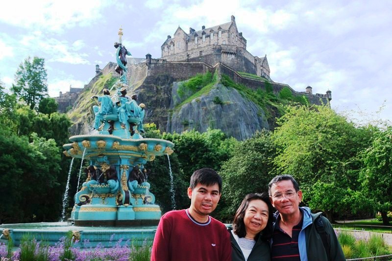
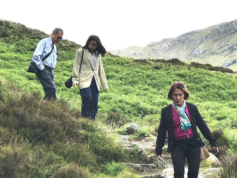
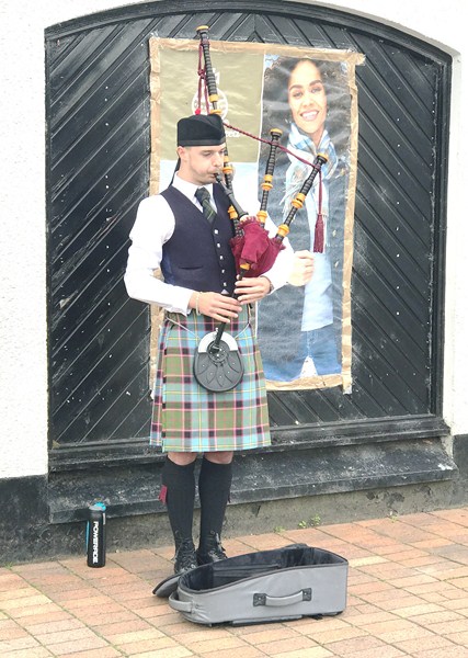
The author (right) with Jandy and Grace (photo: Selena Sta. Maria))
Near the top, with water basins held up by mermaid children, are four female greater than life size figures representing Science, Arts, Poetry, and Industry seated between semicircular basins. The structure is surmounted by a final, beautifully modeled and semi-naked female figure, holding the topmost cornucopia, which scandalized Victorian Edinburgh at the time. All this combines to produce a fountain that is over 40 ft. high and over 100 tons in weight.
Ross Fountain: West Princes Street Gardens, Princes Street EH2 2HG, Edinburgh. Tel: 0131 529 7921. E-mail: parks@edinburgh.gov.uk.