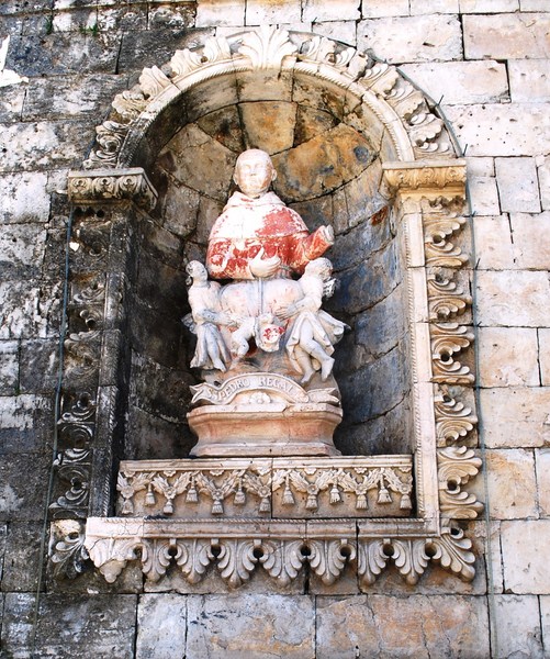
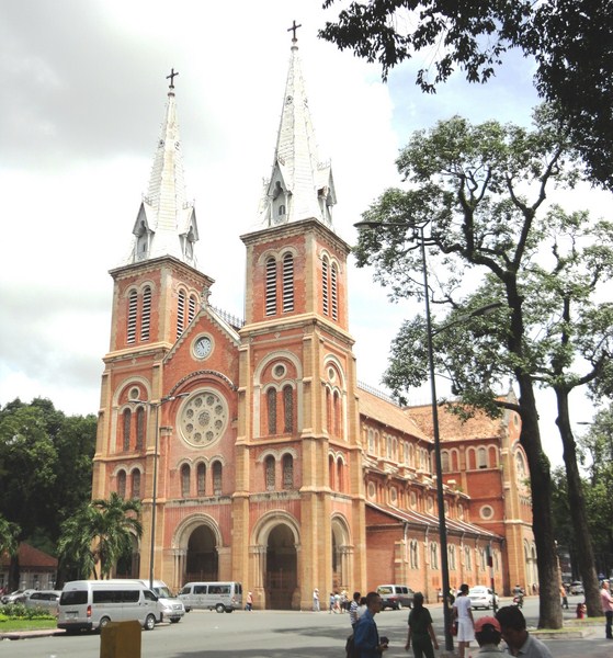
The Neo-Romanesque-style and French-inspired Notre Dame Cathedral, officially the Basilica of Our Lady of The Immaculate Conception, is a modest replica of its namesake in Paris. It faces Ð Dong Khoi and is set in the heart of HCMC’s government quarter. When we arrived, its front gates as well as the heavy timber doors on the side of the building that faces Reunification Palace were locked so we never got to see its interior. Sunday masses here are held in both Vietnamese and English. The cathedral is also a favorite for pre-nuptial photo shoots.
Notre Dame Cathedral
The granite plate inside the main entry gate commemorates the start and completion dates and designer. It states that, on October 7, 1877, Bishop Isidore Colombert laid its first stone in an inaugural ceremony. The construction of the cathedral construction work, managed by a French engineer named Baurad, took three years and, on April 11, 1880, Easter Sunday, a blessing and ceremony of completion was solemnly organized in the presence of Cochinchina Gov. Charles Le Myre de Vilers.
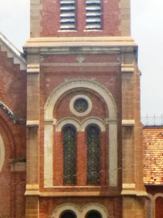
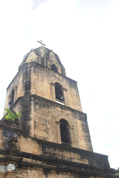
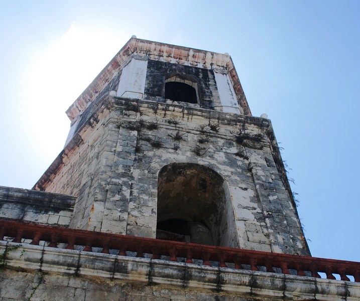
Bell tower detail
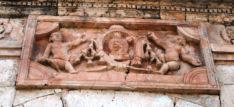
The total construction cost, at that time, was 2,500,000 French francs. Its foundation was designed to bear ten times the weight of the cathedral. All its original building materials were imported from France and the bricks of exterior walls, which still retained their bright red color until today, came from Marseille. Most of the tiles are carved with the words “Guichard Carvin, Marseille St André France” (perhaps stating the locality where the tiles were manufactured) while others are carved with the words “Wang-Tai Saigon.” Many tiles damaged during the war have since been replaced by tiles made in Ho Chi Minh City. Its 56 stained glass squares were supplied by the Lorin firm of Chartres province in France and installed by famous French artisans. These were destroyed during World War II and have since been replaced with plain glass
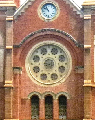
Rose window
At the beginning, the cathedral was called State Cathedral due to the source of the construction funds. On February 17, 1959, during the closing ceremony of the Marian Congress, the cathedral was then-on called Notre-Dame Cathedral. In 1960, the cathedral was titled Saigon Chief Cathedral and, in 1962, Pope John XXIII conferred on it the status of a basilica. From this time, this cathedral was called Saigon Notre-Dame Cathedral Basilica.
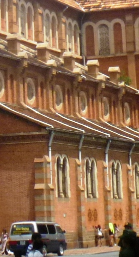
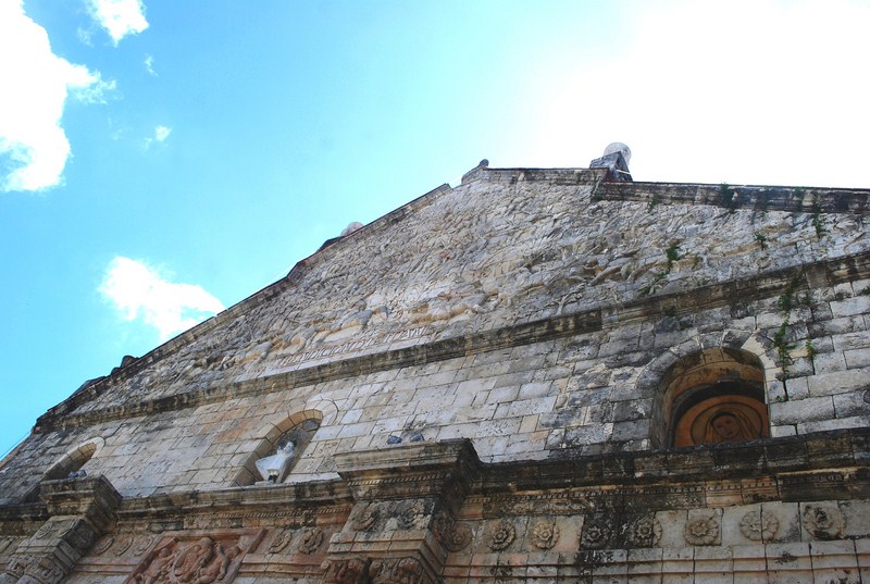
Side elevation
The cathedral has two main central bays and two sidereal corridors, with tall pillars and light coming in through sets of high windows. Its two 57.6 m. (190 ft.) high square bell towers, added to the cathedral in 1895, dominate the scenic Le Place Pigneau de Behaine (with its beautiful flower garden) which is bounded by the main post office. Tipped with iron spires, they have six bronze bells (with a total weight of 28.85 metric tons). On the top of each tower are 3.5 m. high and 2 m. wide crosses weighing 600 kgs.
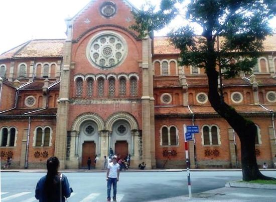
Another view of the side
The total height of the cathedral, from ground to the top of the cross, is 60.5 m. In front of the cathedral and in the center of the square is a granite statue, made in Rome and installed on February 16, 1959, of the Our Lady of Peace (which was given the title of Regina Pacis). During October 2005, the statue was said to have shed tears, which flowed down the right cheek of the face of the statue. It attracted thousands of people and forced authorities to stop traffic around the cathedral.
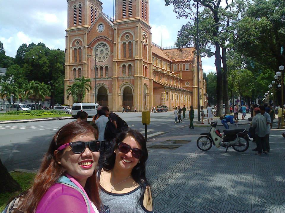
Violet and Osang
Notre Dame Cathedral: Bến Nghé, tp., District 1, Hồ Chí Minh City.