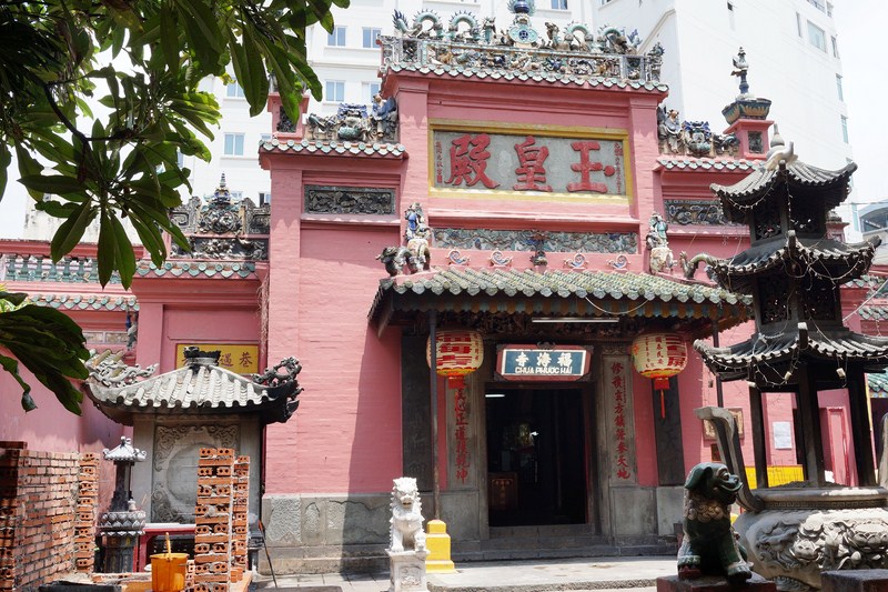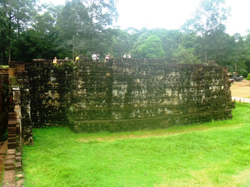
Thien Hau Pagoda
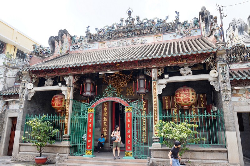
After our lunch at Pho 24, we continued with the afternoon leg of our day-long city tour, first dropping by the beautiful Thien Hau Temple, one of Cholon district’s (Chinatown) most popular and most active pagodas, located right on very busy Nguyen Trai Street. The temple, also known as Chua Ba Thien Hau (literally means “Pagoda of the Lady of the Sea”), was originally built in 1760 (the oldest Chinese temple in Saigon) by the Cantonese Congregation as an expression of gratitude by Chinese immigrants coming from Tue Thanh Province, Quang Dong, for Thien Hau’s protection during their initial trip to Saigon by sea.
All the materials used for its construction were brought from China. The pagoda was then continuously restored in 1800, 1842, 1882, 1890 and 1916. On July 1, 1993, the pagoda was recognized as a National Architectural and Art Monument.
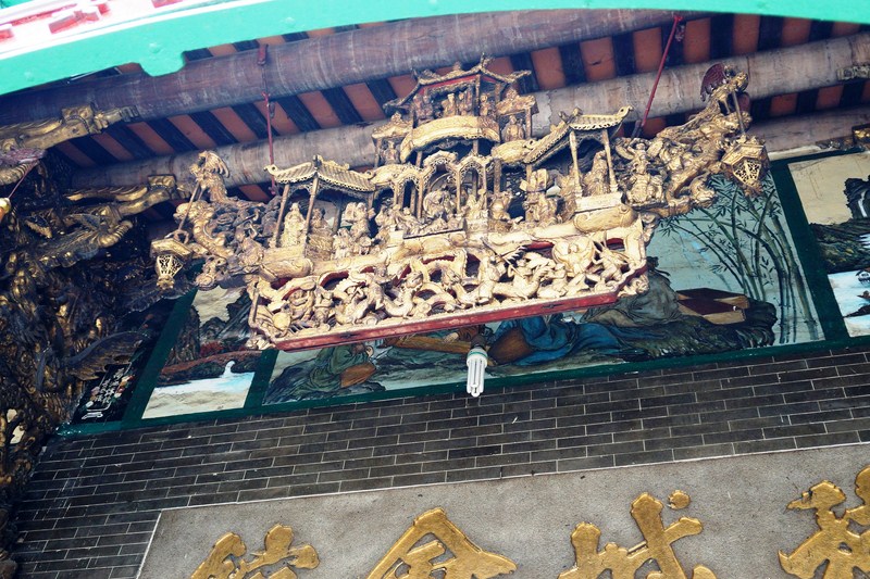
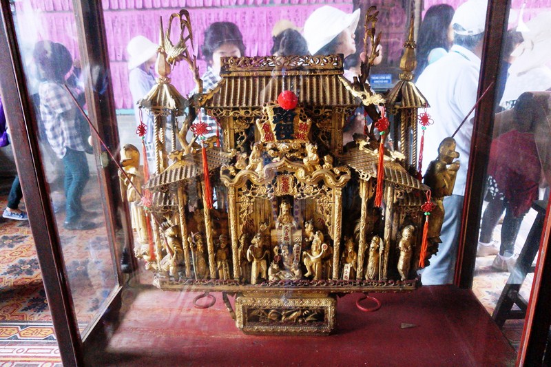
Wooden model of a Chinese theater above the entrance
The deity Thien Hau, , the goddess of the sea and protector of sailors and fishermen (also known as Tuc Goi La Ba and Mazu, is a traditional Chinese goddess who is not specifically Buddhist or Taoist. Revered by seafaring cultures, she has the ability to travel over the sea, on a mat or the clouds, to wherever she pleases, to protect or rescue stranded seafarers on the high seas. This very popular goddess’ temples are included on so many tour-group itineraries in Hong Kong and Taiwan.
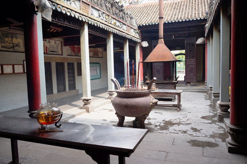
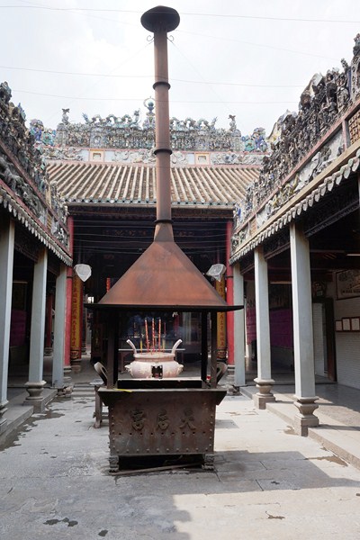
The inner courtyard
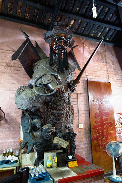
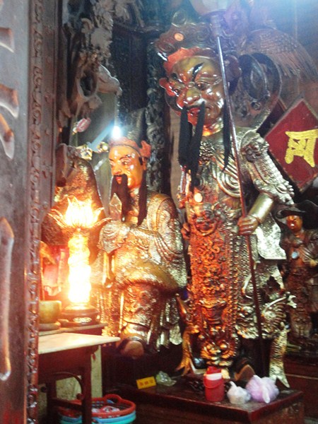
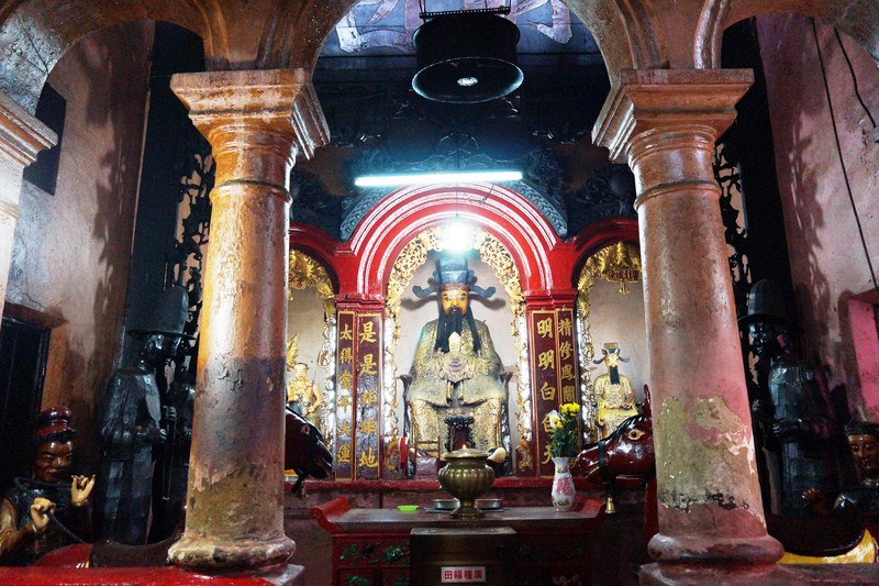
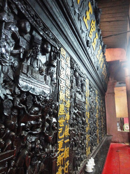
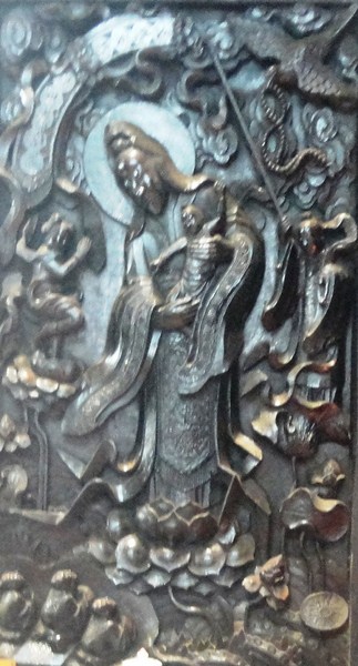
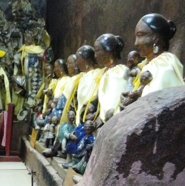
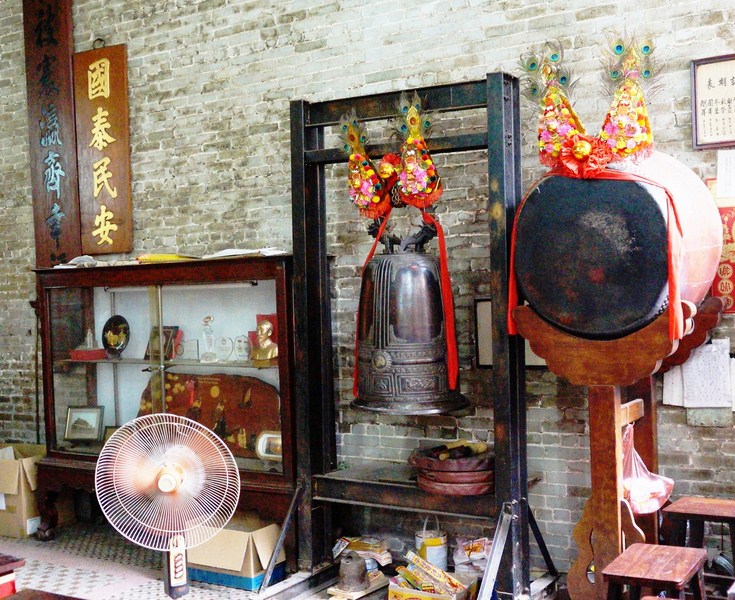
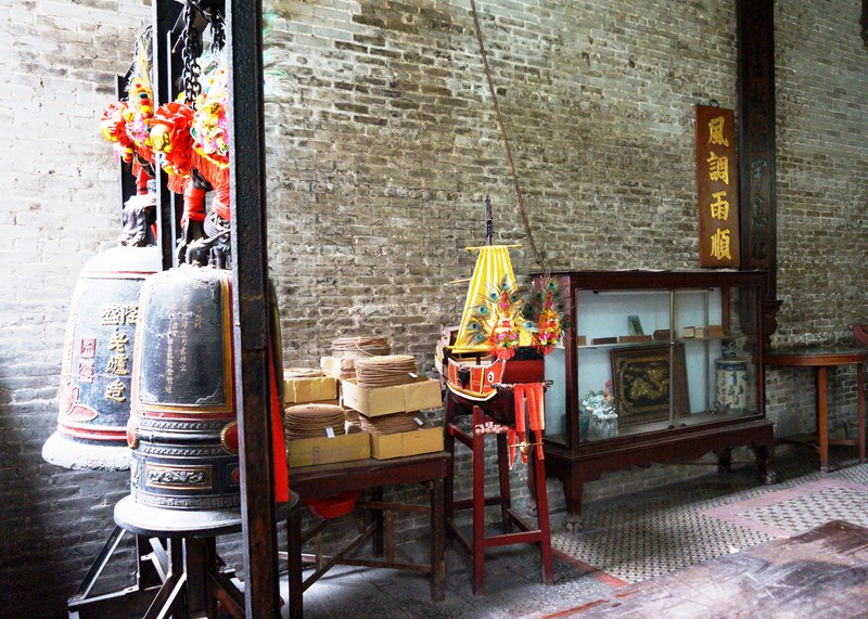
The pagoda houses over 400 meticulously crafted antiques including seven god statues, six stone statues, nine stone steles, two small bells, four copper censers produced in 1886, one stone censor, 10 horizontal lacquered boards, 23 parallel sentences and others.
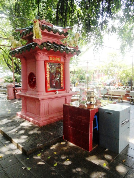
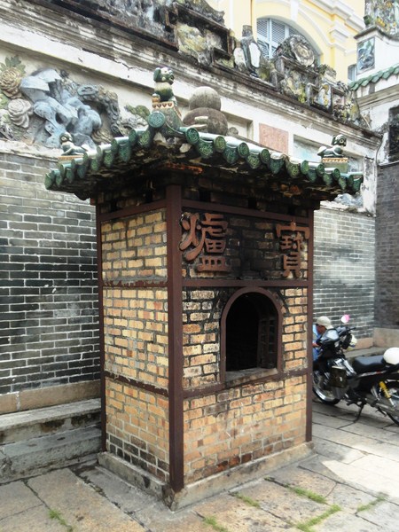
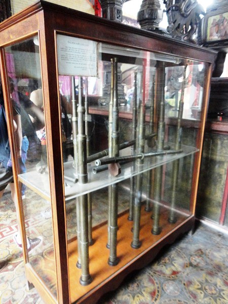
A fire pit for burning money, paper clothes or gifts to send to ancestors
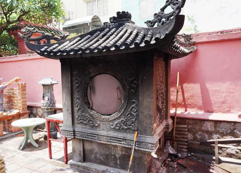
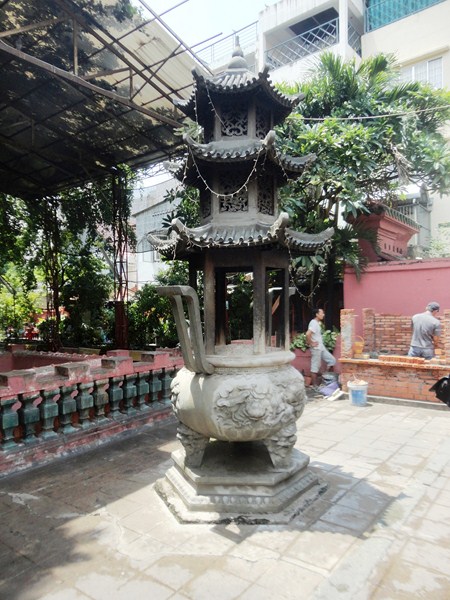
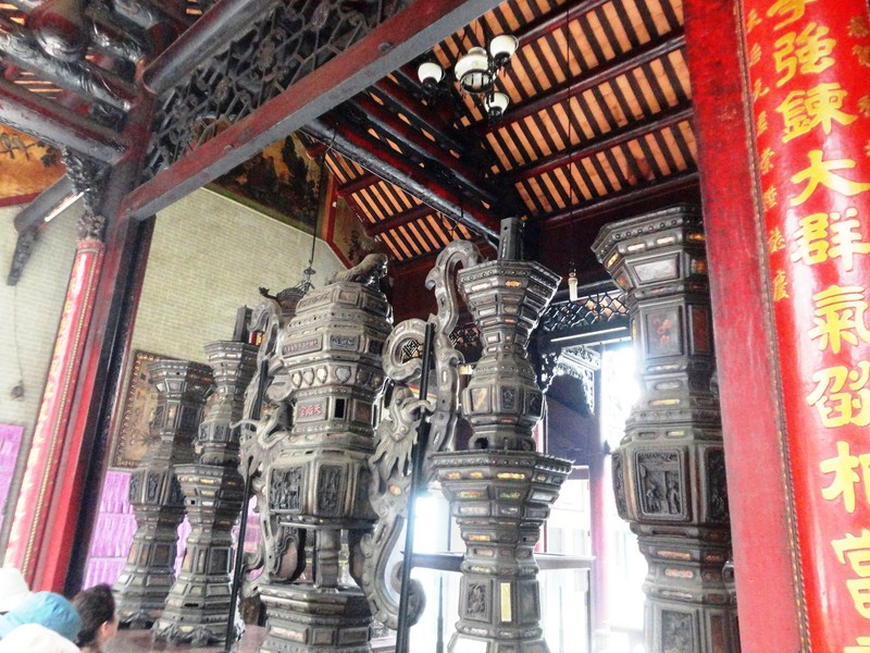
Large incense brazier
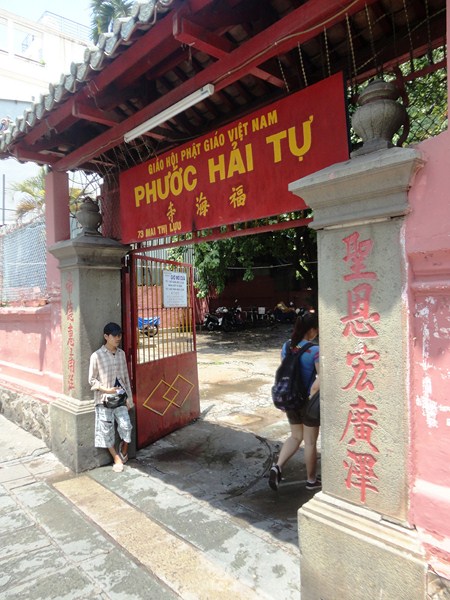
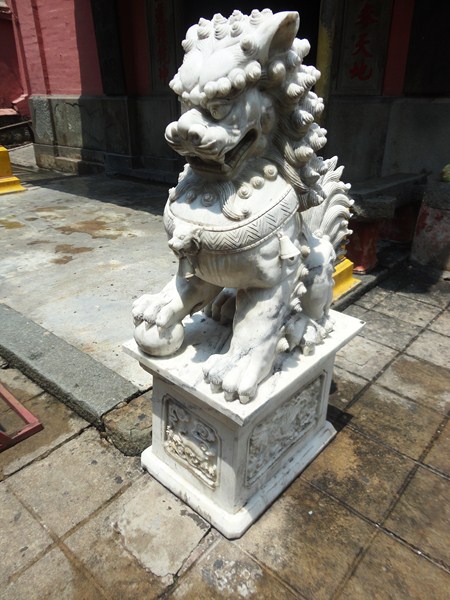
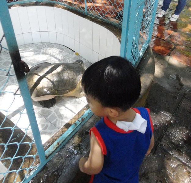
We entered the temple by entering an iron gate and then crossing a small, partially covered courtyard. Though there are guardians on each side of the entrance, it is said that the real protectors of the pagoda are the two land turtles that live there. Lanterns and wooden models of Chinese theaters hang over the entrance.
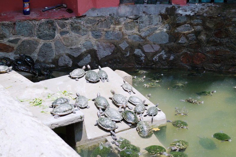
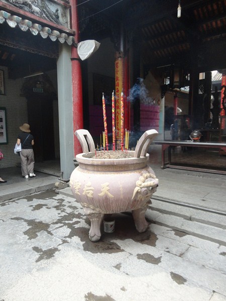
The exposed portions of the courtyard contain large braziers, pots where burning joss sticks are placed. Near the braziers are two miniature wooden structures in which a small figure of Thien Hau is paraded, on the 23rd day of the third lunar month, around the nearby streets. To one side of the temple is an alcove containing a pool of fish, among which, is a giant.
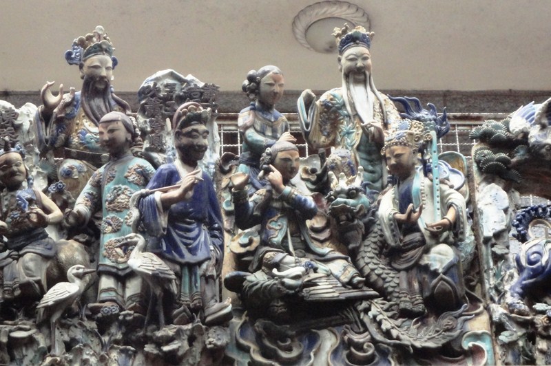
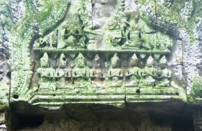
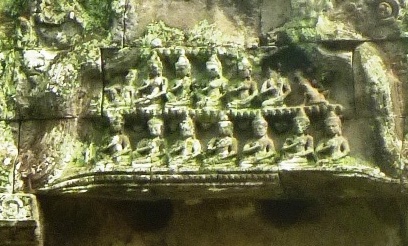
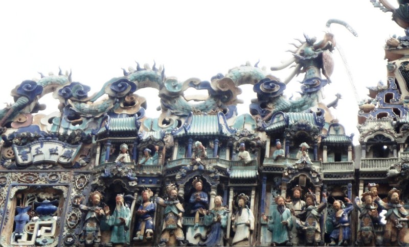
Porcelain dioramas at the roof
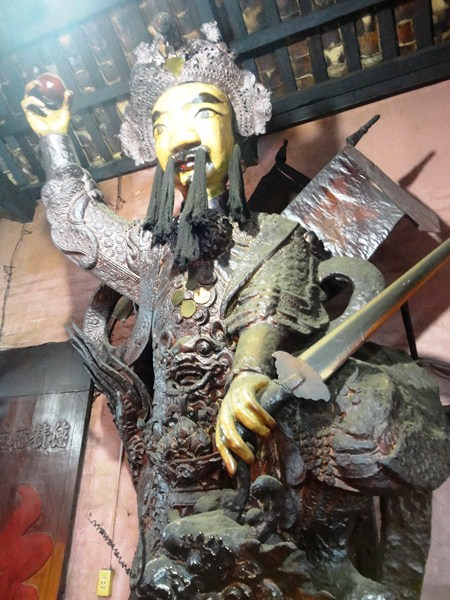
Above the roof line of the interior courtyard are remarkable friezes decorated with small, delicately fashioned porcelain ceramic figurines manufactured by two famous pottery kilns (Buu Nguyen and Dong Hoa)) in 1908, all elaborate dioramas that express whimsical themes from Chinese religion, customs (such as “fighting in an arena”, “kowtow before ancestor’s altar”, etc.) and legends. In one scene, actors depict a duel on horseback between the revered, halberd-wielding general Guan Yu (of the epic novel Three Kingdoms) and another fighter.
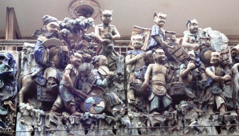
Another scene depicts the three Taoist sages representing longevity, fecundity and prosperity. They also show scenes from a 19th-century Chinese city, including such colorful figures as actors, demons, dragons, turtles, Persian and European sailors and traders, musicians playing instruments, couples conversing on balconies, wise old men in earnest discussion and even a white crane, seated on a rocky ledge, loping past people.
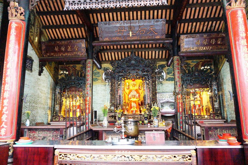
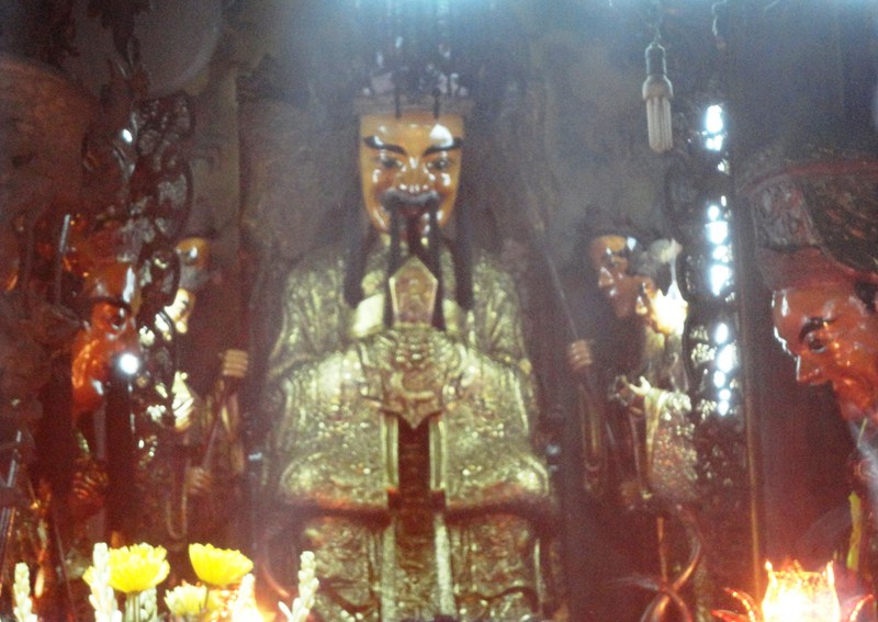
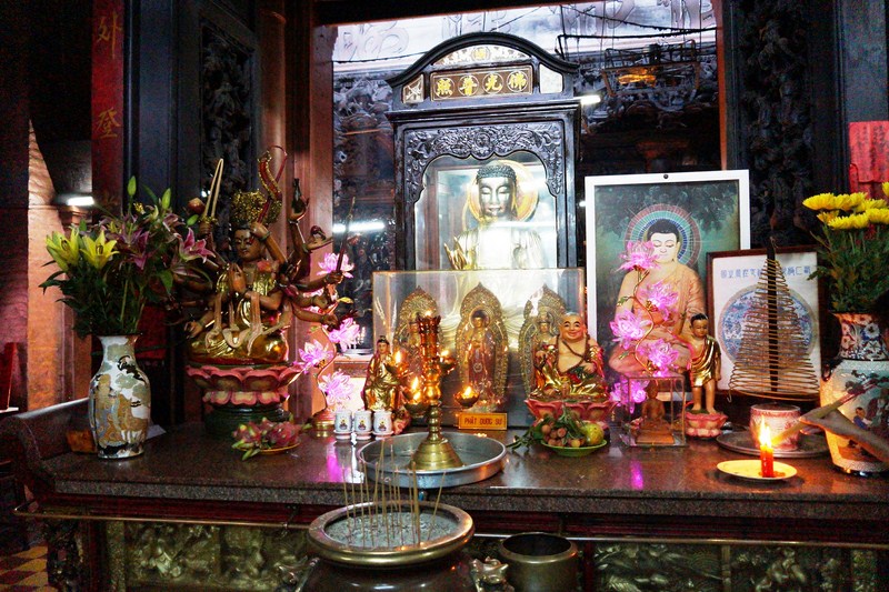
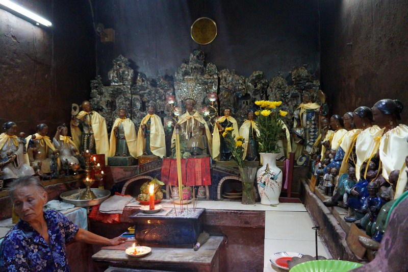
Altar of Thien Hau

The three statues of the goddess Thiên Hậu
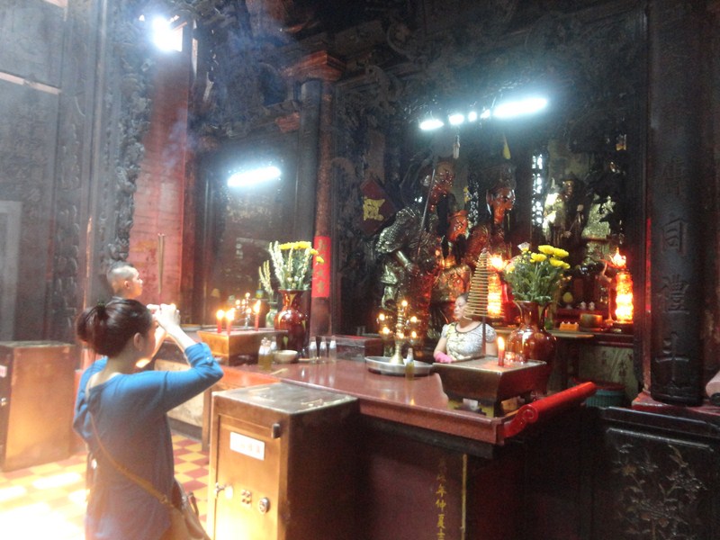
At the end of this gorgeous pagoda’s courtyard is the altar dominated by the three statues of the goddess Thiên Hậu on the main dais. The statues, one behind the other, have bronze faces and multi-colored clothes and crowns. Incense burners are all about, filling the open area with swirling pale white smoke and the pungent aroma of burning incense. The three figures of Thien Hau are all flanked by two servants or guardians, one can see very far while the other can hear very well.
Of special note is a scale model boat, to the right, that commemorates the first Chinese arriving from Canton. On the far right is the goddess Long Mau (protector of mothers and infants) while to the left of the dais is Thien Hau’s bed.
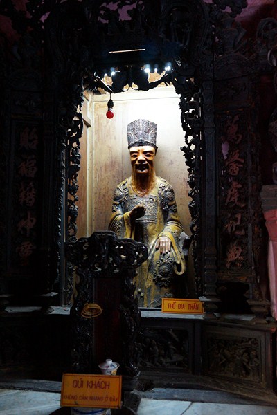
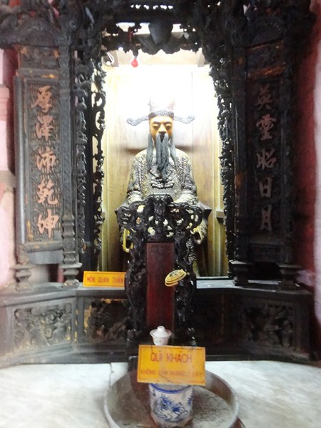
The pagoda also has alcoves dedicated to other Chinese gods such as the Money God (it is said that good luck in doing business will be granted after some money is offered to him), Meh Sanh (the goddess of fertility) and the Mermaid. Several women were busy lighting bundles of incense sticks and then praying within the alcove at the rear of the temple.
While the Thien Hau Pagoda isn’t the largest or most elaborate in the city, it is most popular, with worshippers from the local Chinese community and visitors, for its dozens of large amazing coils of incense suspended from the ceiling rafters over the main worship area, in front of the altar of Thien Hau. Some are quite large, with a diameter of more than a meter, and can burn for upwards of a month.
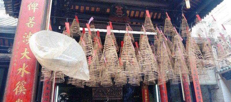
Conical incense coils with red tags
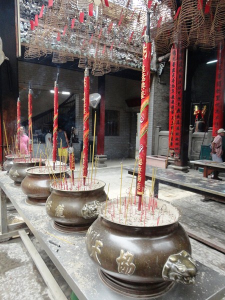
All coils are attached with a red tag with prayers that get sent when the incense burns out at the top of the coil. For luck, good health and good business fortune, the buyer’s name is written on the prayer tag after an incense coil or bundle is purchased. With a small donation to the pagoda, you can have your own coil lit and hung. Several people inside and outside sell incense, with 20,000 VND enough to purchase a large quantity.
Thien Hau Pagoda, probably the finest largest and most popular pagoda in Saigon and easily one of the most favorite tourist destinations in the city,is a valuable work of history, architecture and sculpture as well as an important religious site of the city’s Chinese-Vietnamese community. It truly has an atmosphere of otherworldly reverence owing to the smoking coils of swirling incense hanging from the room and majestic interior and furnishings. When visiting, be sure to keep an eye out for (bring binoculars) the intricate porcelain dioramas that decorate the beautiful roof.
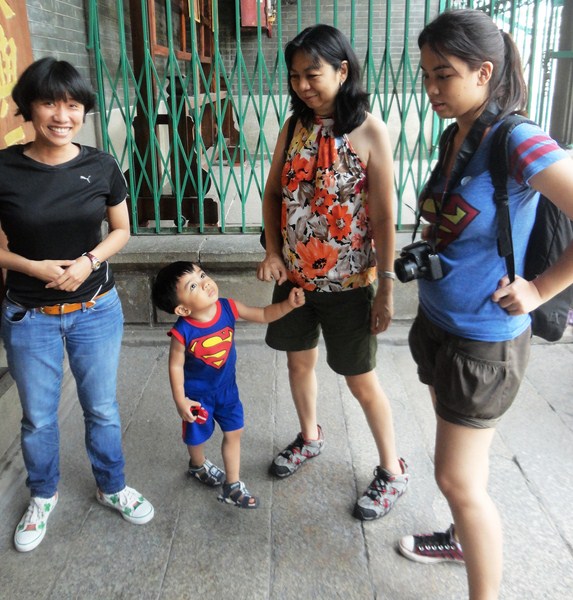
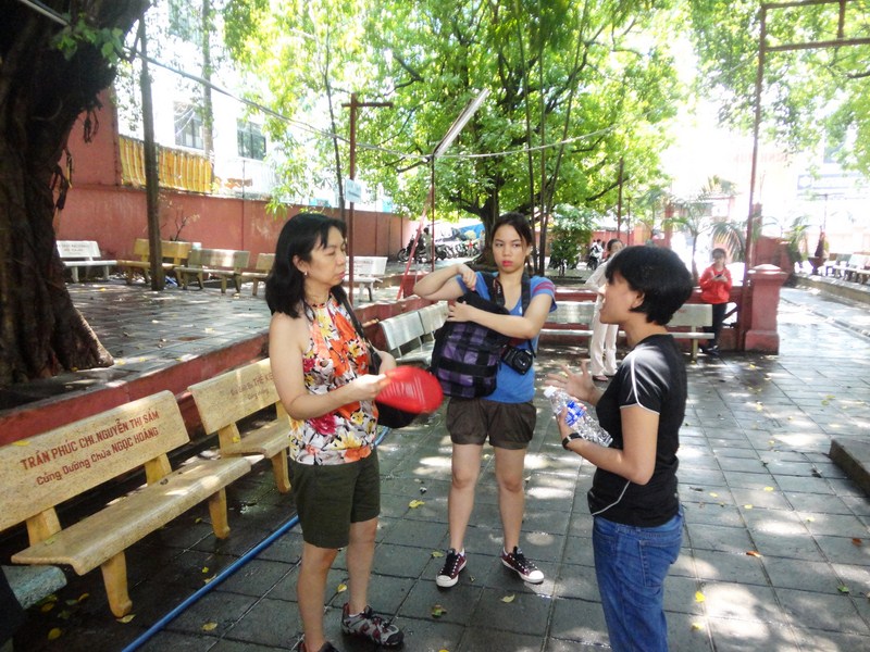
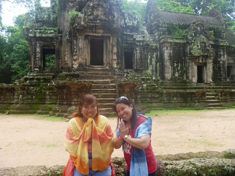
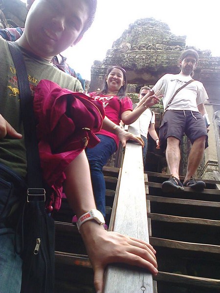
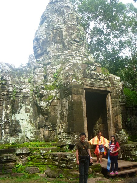
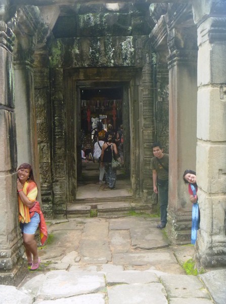
L-R: our guide, Kyle, Grace and Cheska
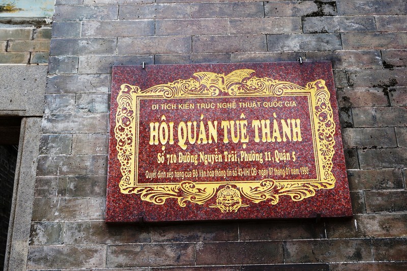
Thien Hau Pagoda: 710 Nguyen Trai St., District 5, Ho Chi Minh City, Vietnam. Open daily, 8 AM -4:30 PM. Admission is free but, if you wish to give something towards the building’s preservation, there is a donation box inside. It will cost 5,000 VND to park.