
 |
| Dimadilangat Island |
After surfing lessons at Sabang Beach, we packed up our tent and belongings, loaded it at the Toyota Revo and decided to spend the rest of the afternoon doing some sightseeing. First on our itinerary was the Ermita Park in Brgy. Zabal, the highest point in the town. According to the locals, many of the town’s inhabitants sought refuge here when a tidal wave struck and completely engulfed Baler on December 1735. Today, it has a huge white cross (which is lighted at night), picnic huts, a chapel and a mini-zoo. To get to the cross, we had to climb over a hundred steps but the effort was well worth it as it has, from its concrete view deck, an excellent view of the town, the Sierra Madre Mountains, Cemento and Sabang Beaches, Lukso-Lukso rock formation and the offshore islands of Dimadilangat and Aniao.
 |
| The cross at Ermita Hill |
Having seen the the latter islands from Ermita Hill, we next drove down the hill to visit Dimadimalangat Island. Located off the reef shore, it serves as a point identifying the southernmost tip of Baler Bay. This rock formation is approachable during low tide and, during the calm months of April to June, the place becomes a haven for wall divers. It is also a good dive and snorkeling site.
 |
| Aniao Islands |
We next drove further south to the Aniao Islands, just off the coast of Brgy. Zabali. These two small but imposing, shrub-covered islands are a habitat for kingfishers, gulls and even hawks and its peaks are a challenge for rock climbers. Towering waves adamantly pound the island’s base. The islands are a 20-min. boat ride from Sabang.
 |
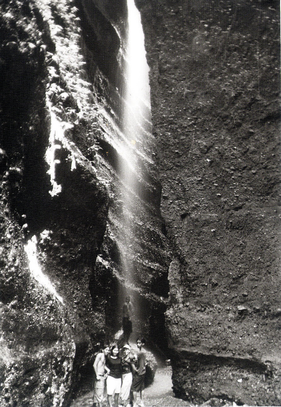
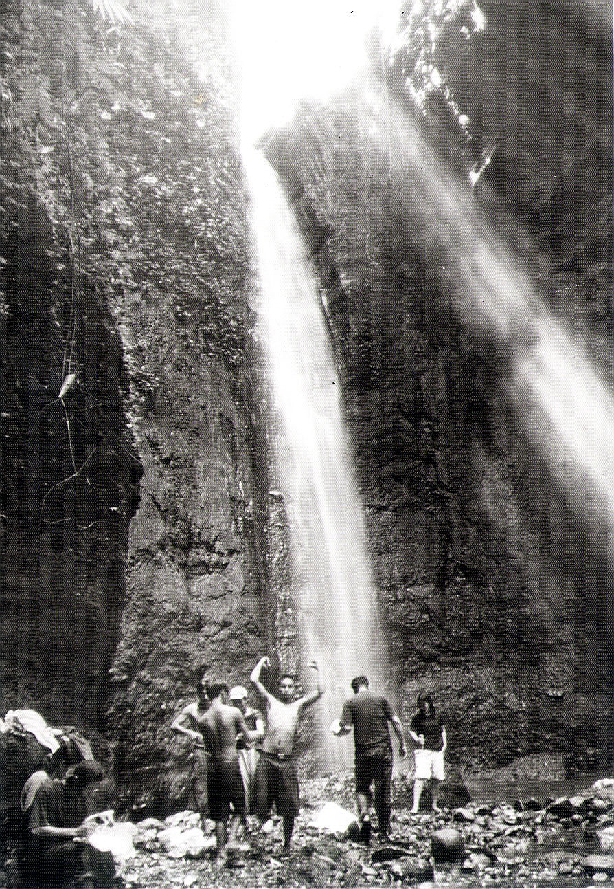
| Diguisit Falls |
I wanted to continue on to the Radar/Weather Station at Cape Encanto and, beyond, to Dicasalarin Cove in neighboring San Luis town but boulders were blocking the already bad road so I decided to turn the Revo around and return to the town. On our way back to the town proper, we also made a stopover at roadside Diguisit Falls (a.k.a. Natulo Falls). Located 10 kms. from the town proper, it was said to be the first potable water source for the people of Baler, made so through the efforts of Dona Aurora Quezon.


.jpg)


.jpg)


.jpg)


