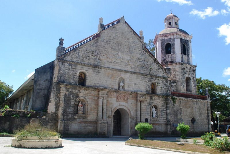
About 20 kms. past San Joaquin and 8 kms. past Miag-ao, I again made a stopover at Guimbal where I visited its gorgeous and ornate church. It was started by Augustinian Fr. Juan Aguado (parish priest from 1742 to 1744, 1753) using yellow sandstone/coral rock called igang quarried from Guimaras Island Fr. Juan Campos (1769 to 1774) finished it by adding the half dome covering the segmental pediment as well as the paired columns with lintel.
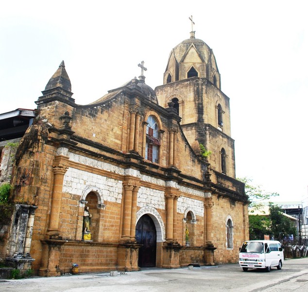
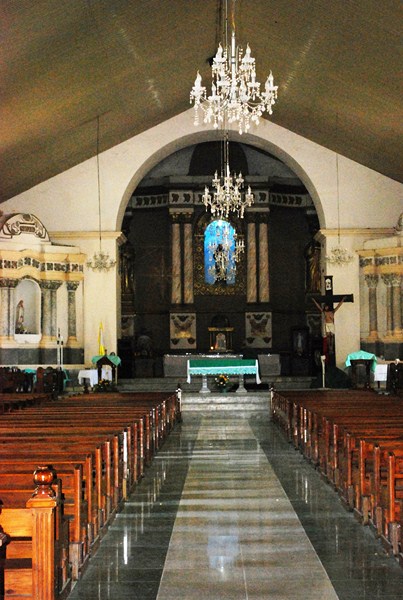
The gorgeous Church of St. Nicolas of Tolentino
The church was damaged during the July 13, 1787 earthquake, further enlarged in 1893 by Fr. Jose Orangren, burned in December 1895 and restored a month later by Fr. Agustin Llorente (who also built the current bell tower). It was also seriously damaged during the Japanese Occupation and the January 25, 1948 Lady Caycay earthquake.
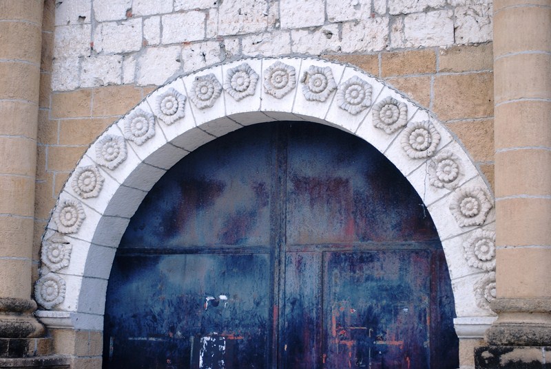
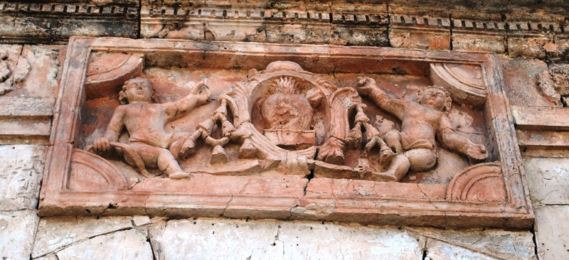
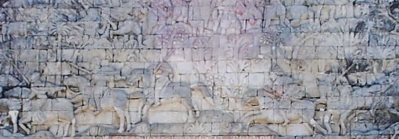
Rosettes on the main entrance arch
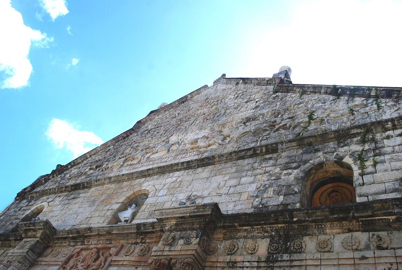
The church’s facade has paired, rounded pilasters, with Corinthian capitals; archetypal, classic finials; Morrish-inspired spires; and a lintel that seems to support a half dome, which almost covers the segmental pediment.
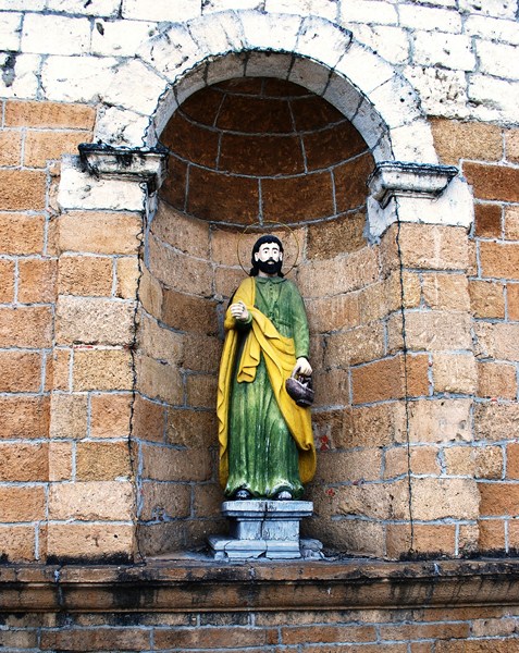
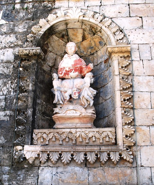
Statued niche on the right
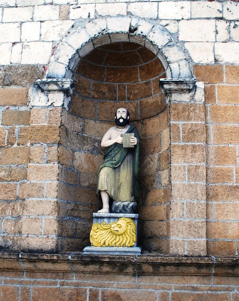
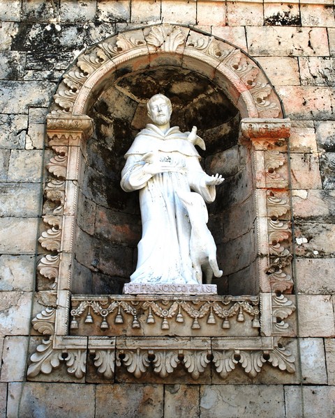
Statued niche on the left
The curved lines of the upper side wall starts from the ends of the lintel. The semi-circular arched doorway, flanked by statued niches, has decorative, Asian-inspired rosettes following the outline of the arch.
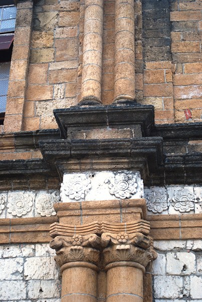
The paired Corinthian pilasters
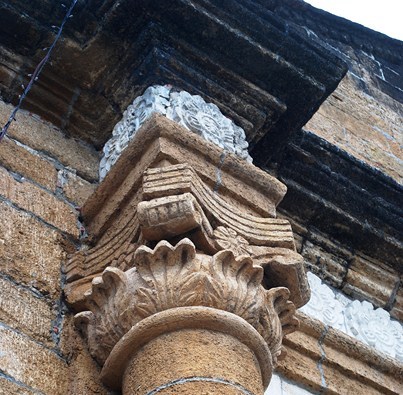
Detail of Corinthian capital
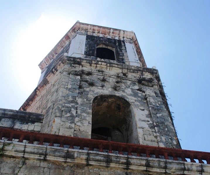
The 4-storey bell tower, on the church’s right, has semi-circular arch windows on the square-shaped second and third storeys, and pointed arch windows on the hexagonal-shaped fourth storey.
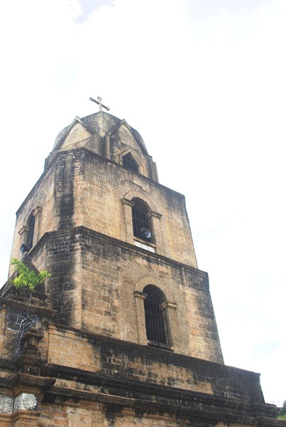
The 4-storey bell tower
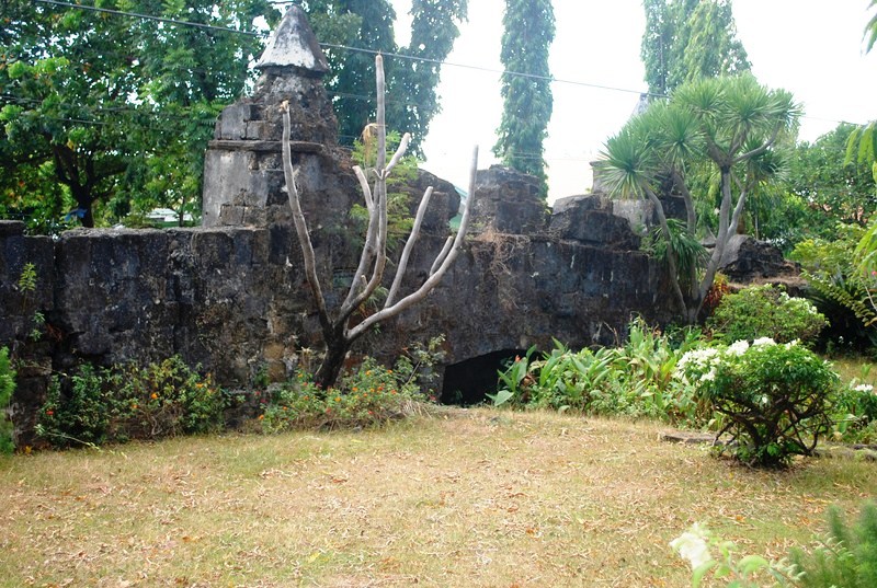
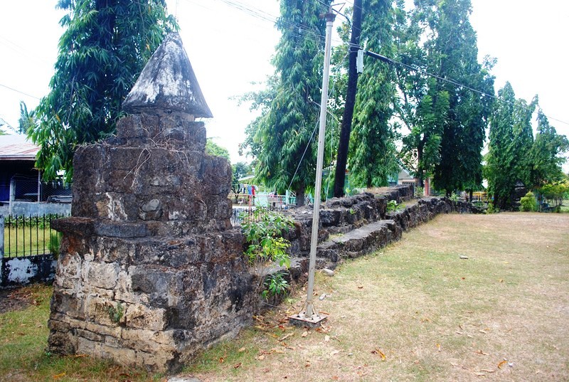
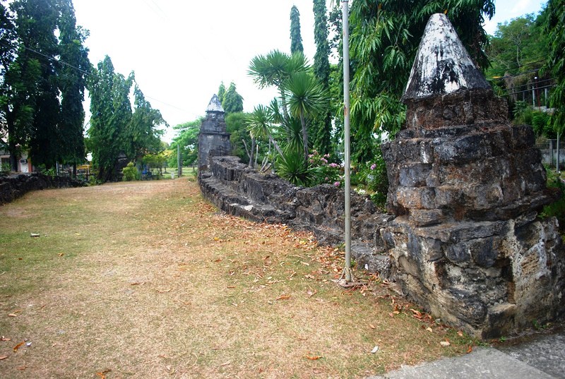
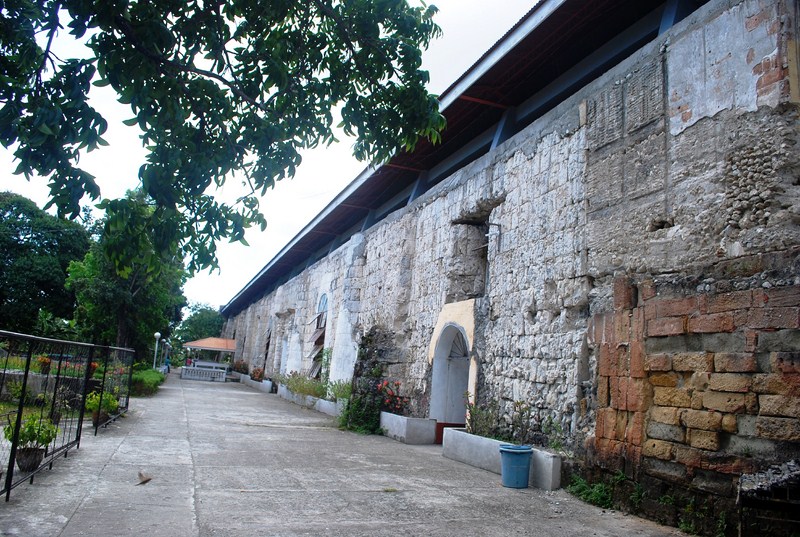
The convent, built by Fr. Juan Campos in 1769, was destroyed during the 1948 Lady Caycay earthquake. Fronting the church is a beautifully manicured park while nearby is the new municipal hall as well as old municipal hall (Casa Real).
Side facade
The Casa Real, the first municipal building of Guimbal, was also the site of the tribunal and a school. Recently renovated, it now houses the Hall of Justice (Regional Trial Court, Municipal Circuit Trial Court, Guimbal Municipal Police Station and the Bureau of Fire Protection).
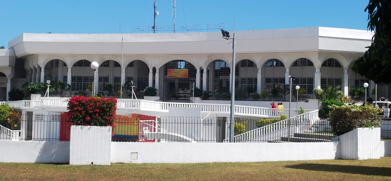
New Guimbal Municipal Hall
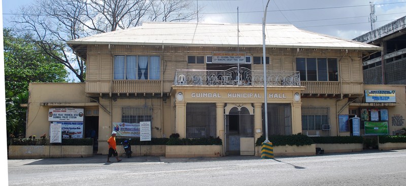
Old municipal hall (now Hall of Justice)
How to Get There: Guimbal is located 28.48 kms. (a 30 to 35-minute drive) from Iloilo City, 4.8 kms. from Tigbauan and 8 kms. from Miag-ao.