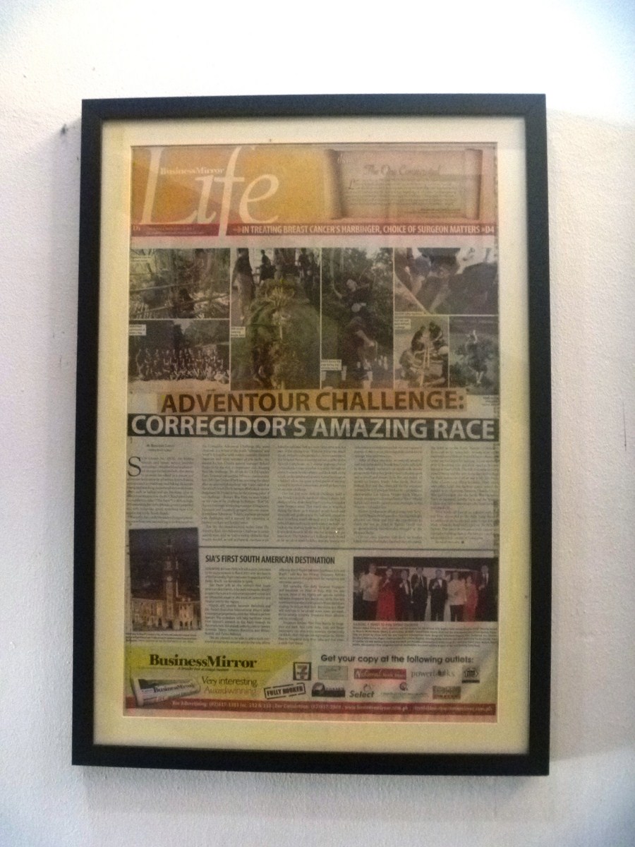
Our Corregidor Island tour included visits to the Japanese Garden of Peace and the Filipino Heroes Memorial, both a first for me as well as the rest of my family.
Check out “Japanese Garden of Peace“
Filipino Heroes Memorial
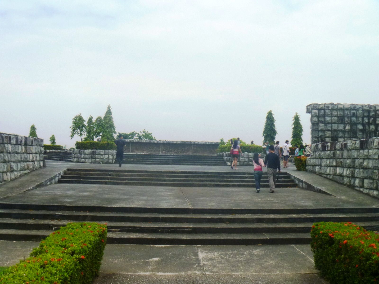
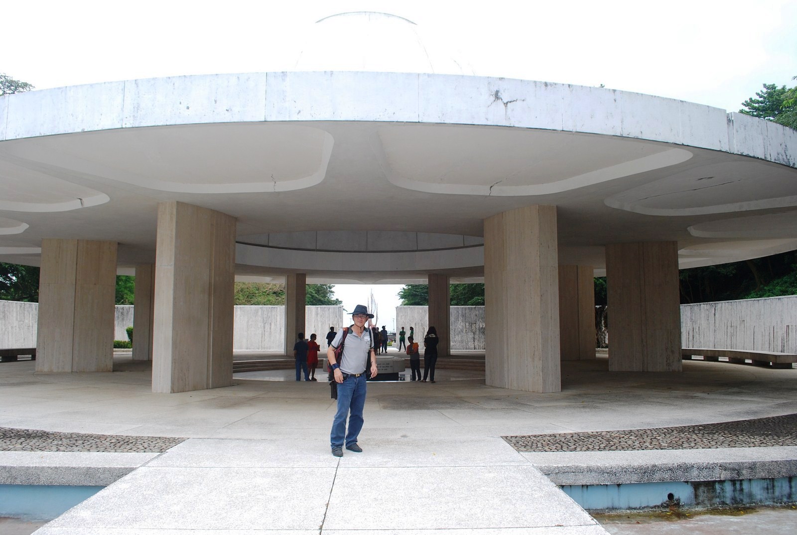
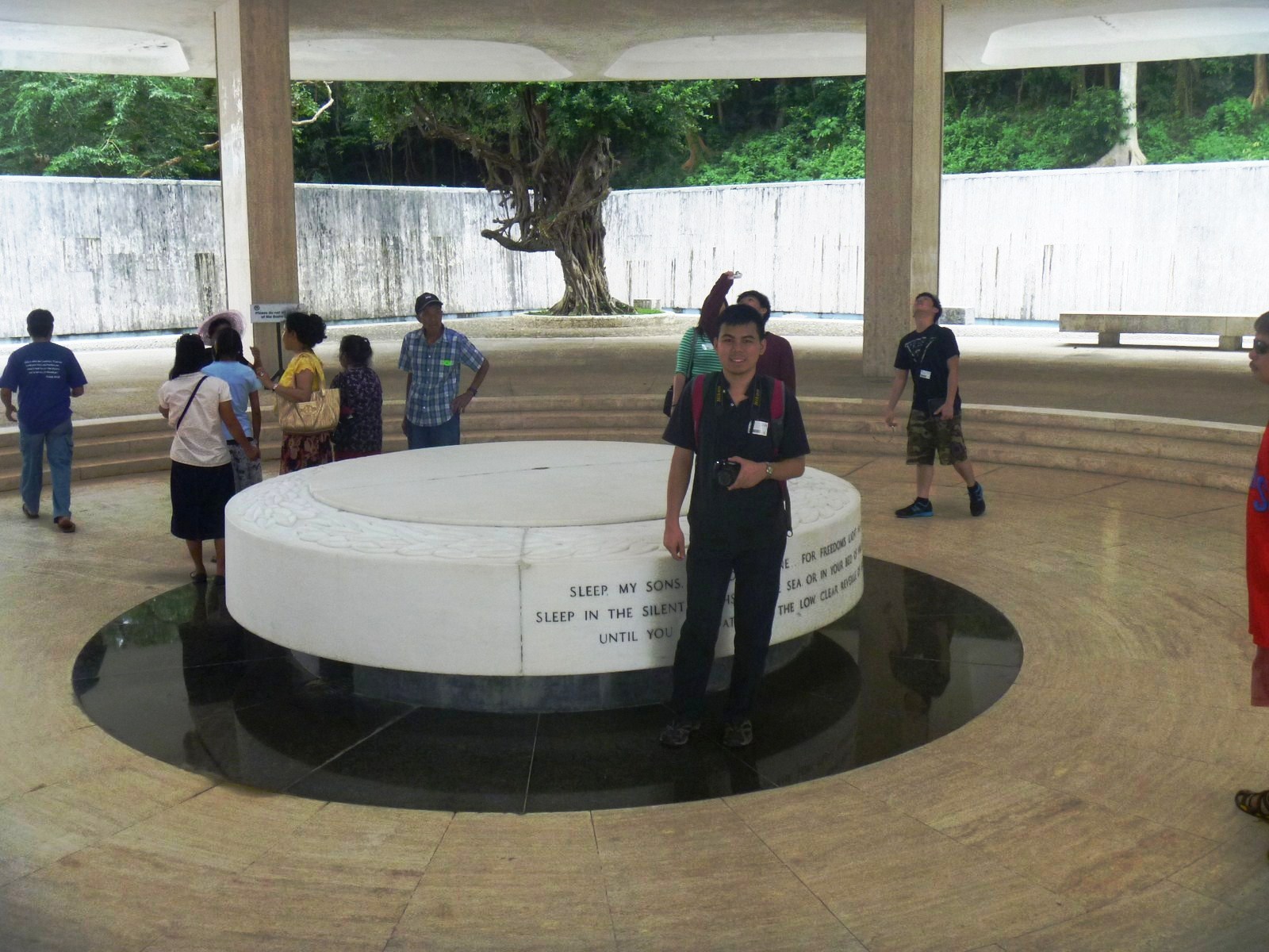
Our first stop was the Filipino Heroes Memorial, one of the most recent additions to Corregidor. This is a 6,000-sq. m. complex at Tailside designed by Arch. Francisco Mañosa and inaugurated on August 28, 1992 by Pres. Fidel V. Ramos. It consists of 14 murals, chronologically encircling the park, done by sculptor Manuel Casal. It depicts famous as well as obscure heroes who revolted and battled heroically through the centuries; from the Battle of Mactan (1521) to the People Power Revolt at EDSA (1986).
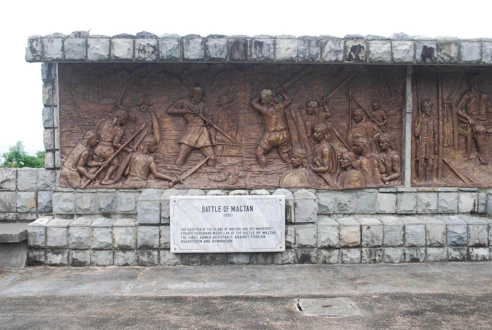
The Battle of Mactan
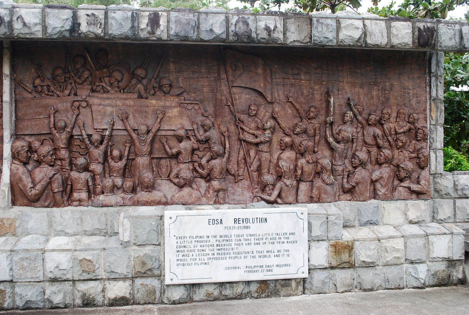
EDSA Revolution
Other murals depicted include Datu Sirongan and Sultan Kudarat in Mindanao (16th to 17th century), the Bankao’s Apostasy in Leyte (1621), Sumuroy Rebellion (1645-50), the Dagohoy Revolt (1744), the Palaris Revolt in Pangasinan (1782), Diego and Gabriela Silang in the Ilocos (1763), the Hermano Pule Revolt (1840-41), the Philippine Revolution (1896), the Filipino-American War of 1899, World War II and the Guerilla Movement.
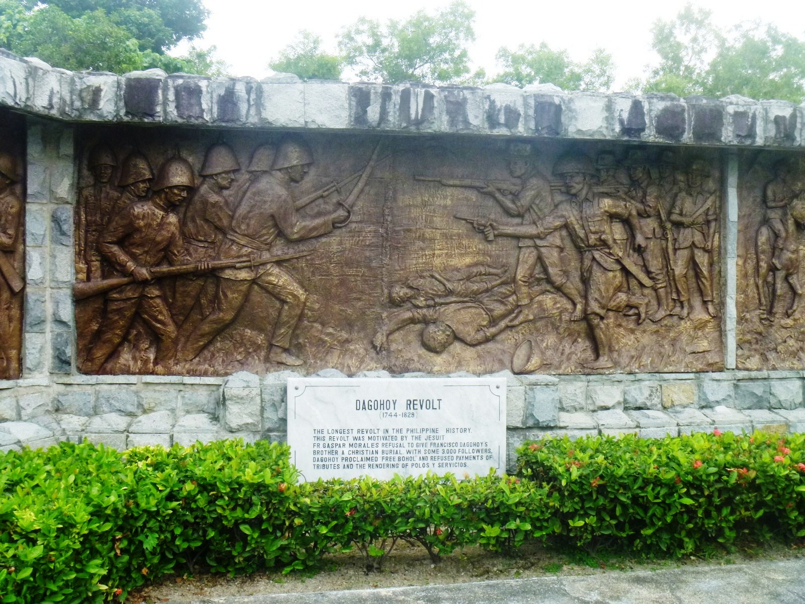
Dagohoy Revolt
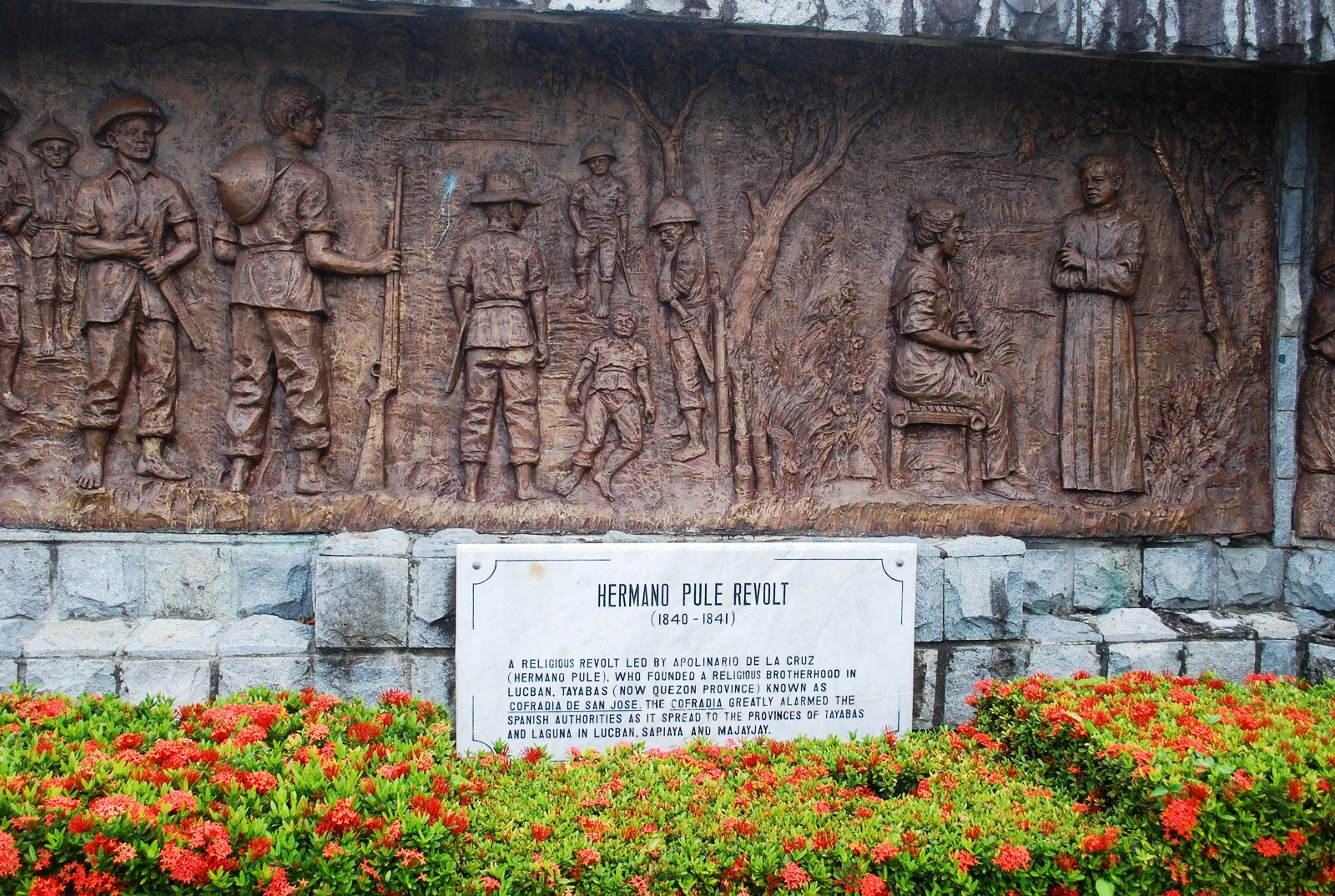
Hermano Pule Revolt
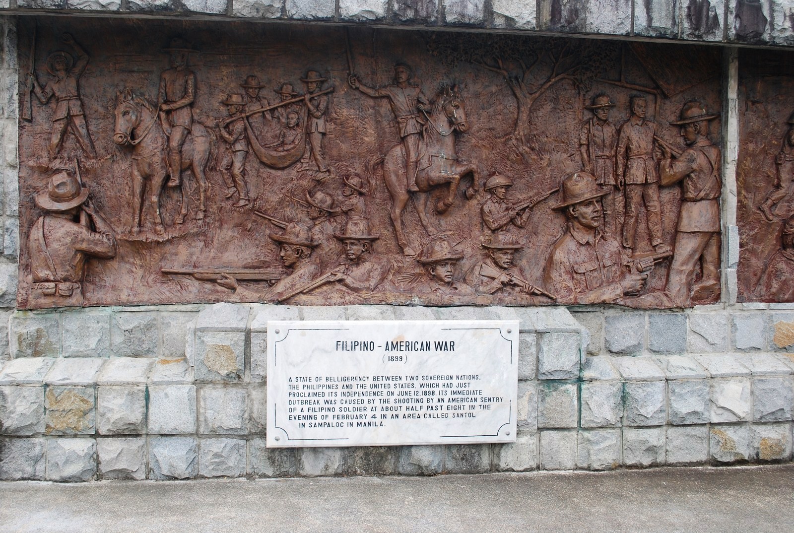
Filipino-American War
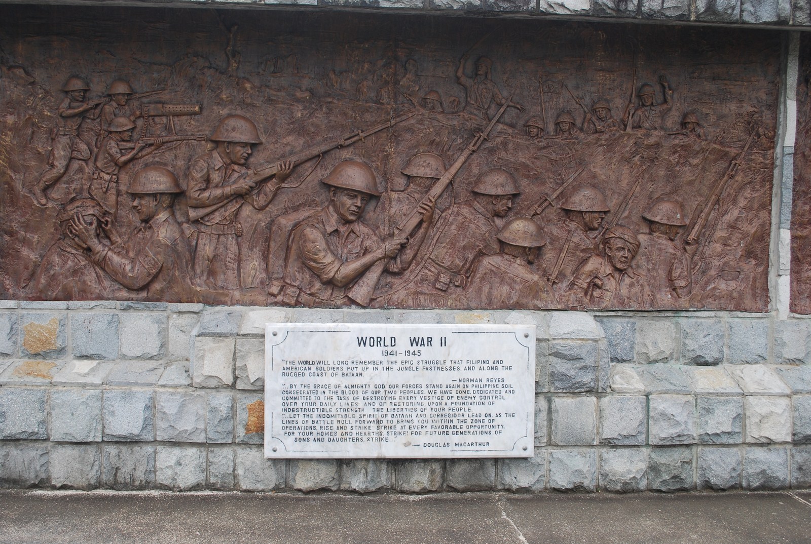
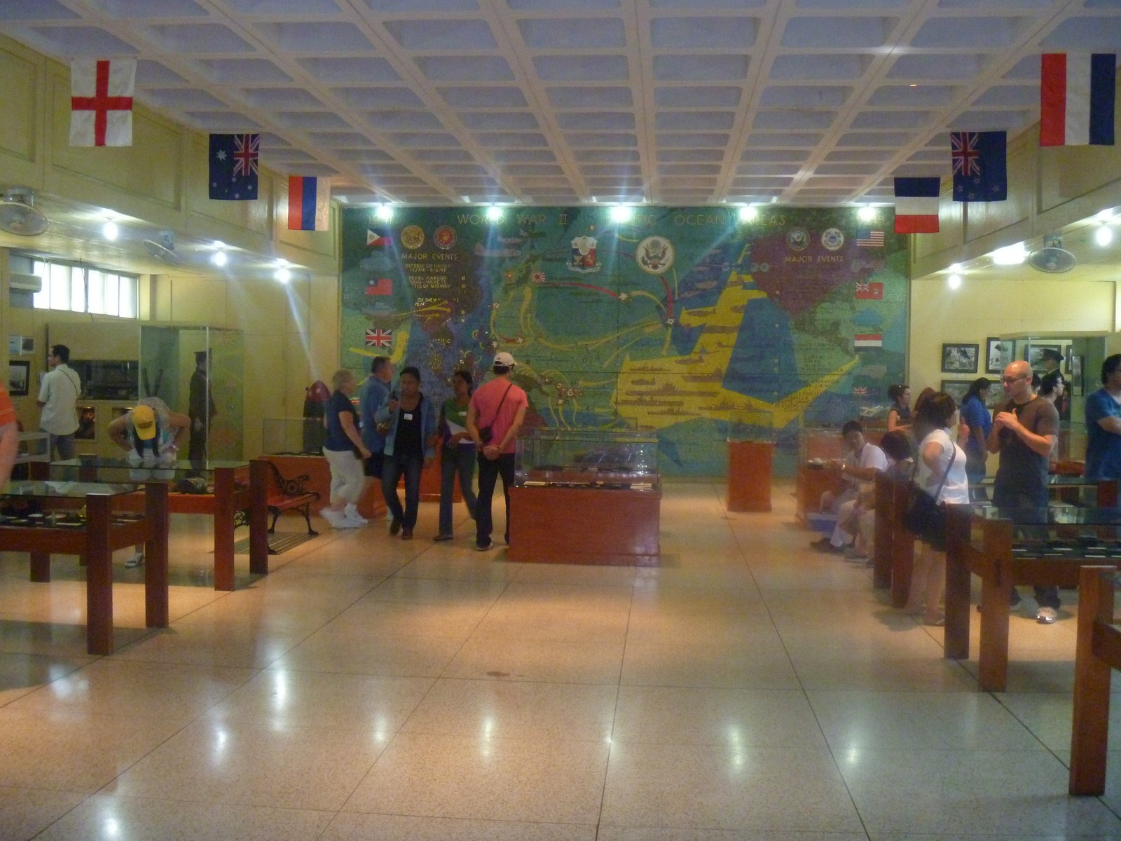
World War II
A statue of a Filipino guerrilla was also sculpted by Manuel Casal. A piece of trivia we gathered from our tour guide was that, during the Japanese Occupation, Filipinos guerillas and spies disguised themselves as farmers. To distinguish the farmer from the guerilla, the Japanese employed the palm test: True farmers have hard, calloused palms, guerillas didn’t. There is a room dedicated to photos of prominent Filipinos who died for freedom and liberty.
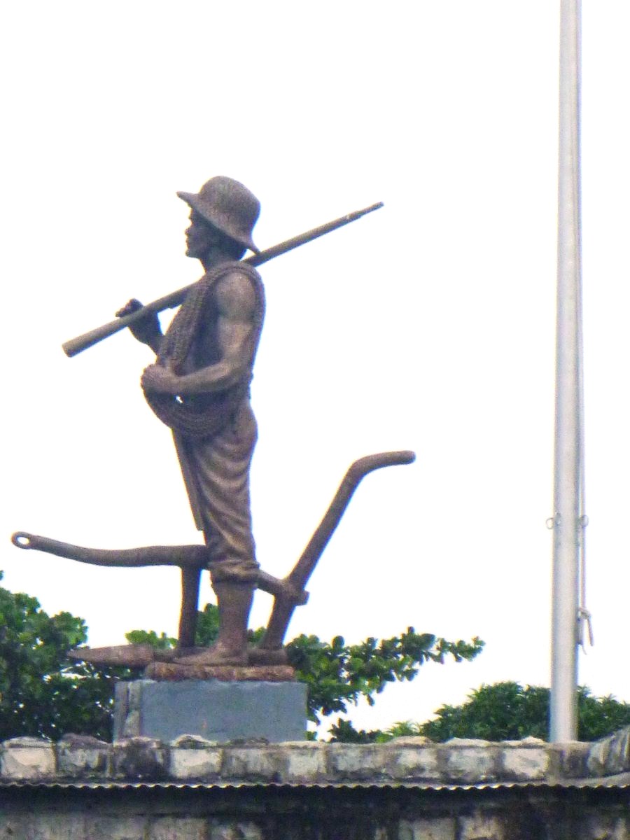
Statue of the Filipino Guerilla
Beside the Filipino Heroes Memorial is a small park dedicated to President Sergio Osmena, the second president of the Philippine Commonwealth. Erected in this park is the statue of Osmena which was inaugurated on May 23, 1998 through the efforts of the Corregidor Foundation and the Cebu Newspaper Workers’ Foundation with the assistance of the late Sen. Marcelo B. Fernan.
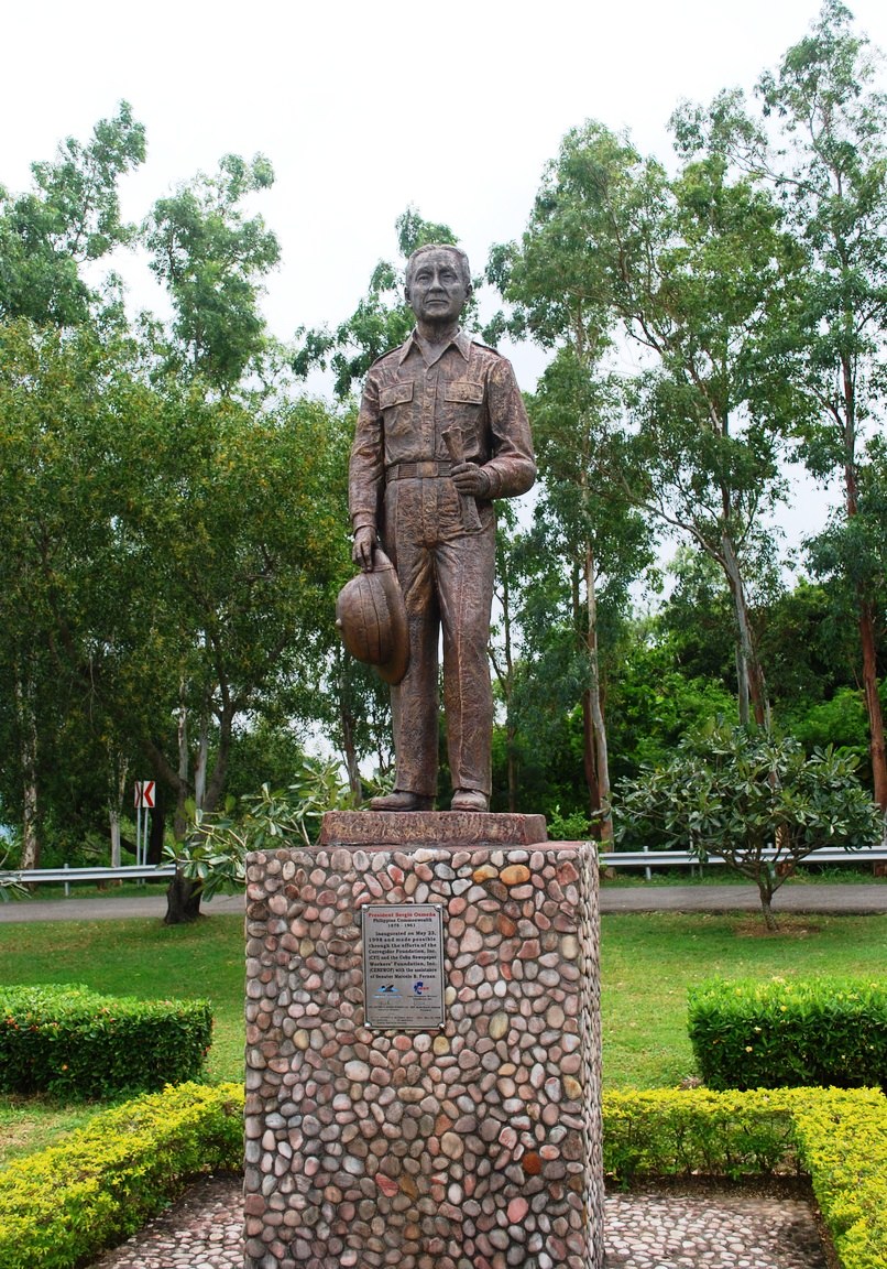
Statue of Pres. Sergio Osmena
Sun Cruises, Inc. (SCI) – Reservation Office: CCP Terminal A, CCP Complex, Roxas Blvd., Manila. Tel: (632) 831-8140 and (632) 834-6857 to 58. Fax: (632) 834-1523. E-mail: suncruises@magsaysay.com.ph.


.JPG)
.JPG)
.JPG)
.JPG)
.JPG)
.JPG)
.JPG)
.JPG)
.JPG)
.JPG)
.JPG)
.JPG)
.JPG)
.JPG)
.JPG)
.JPG)
.JPG)
.JPG)
.JPG)
.JPG)
.JPG)
.JPG)
.JPG)
.JPG)
.JPG)