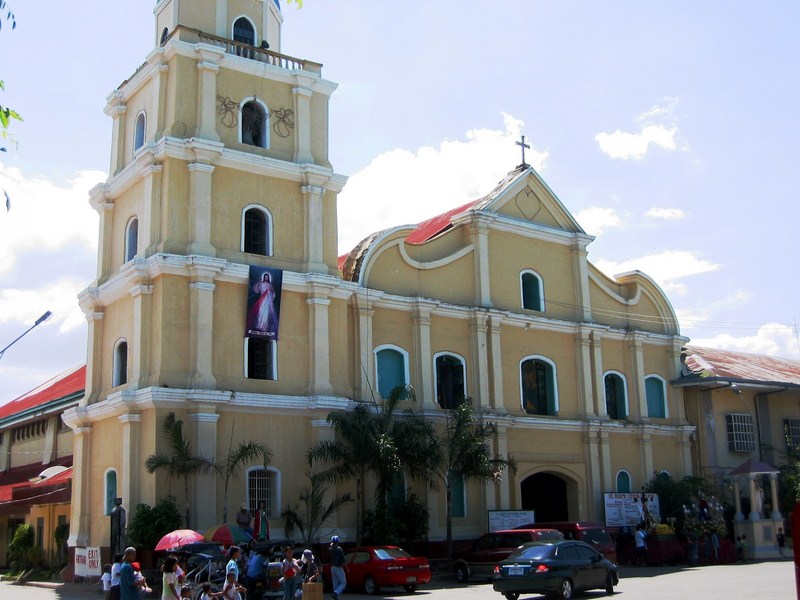
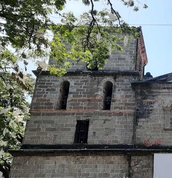
This fine old Spanish-era church was first built in 1809 by Dominican Father Bernardo Pons. The foundation of the present church and bell tower were first laid by Fr. Benito Sanchez Fraga, continued by Frs. Ramon Dalmau and Francisco Treserra and finished by Fr. Pedro Villanova. It was inaugurated on June 4, 1854. The choir loft and sacristy were built by Fr. Lucio Asensio. From 1866 to 1878, Fr. Gallego built the main altar and ceiling, painted the church and finished the bell tower. The bell tower was destroyed during the March 16, 1892 earthquake and later repaired by Fr. Victor Herrero.
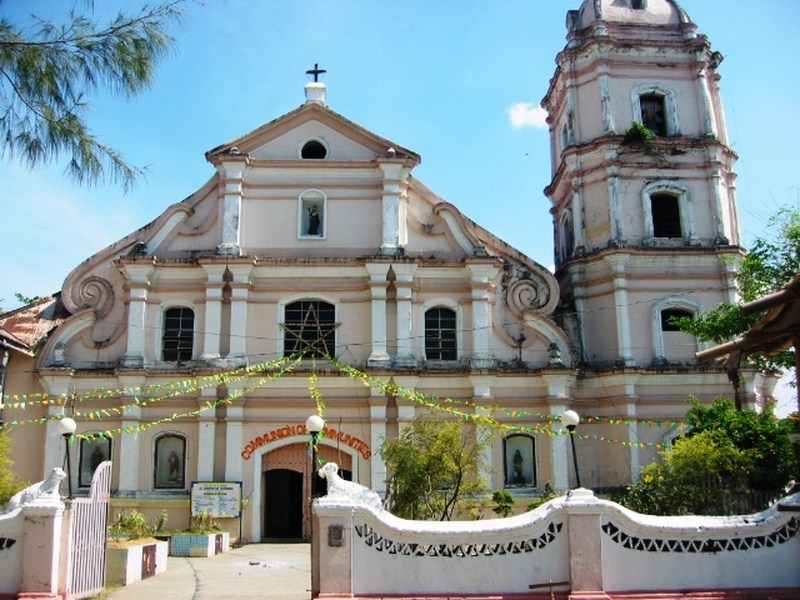
Church of St. Joseph the Patriarch
The church has a distinct 3-level Baroque facade with a large volute at the pediment sloping down to the second level. There are also superpositioned columns, a segmented arched main entrance, depressed segmented arched windows on the second level and a statued niche at the third level. The foundations of its present convent was first laid in 1832 by Fr. Juan Alvarez del Manzano, continued by Fr. Nicolas Fuentes and finished by Fr. Benito Sanchez Fraga.
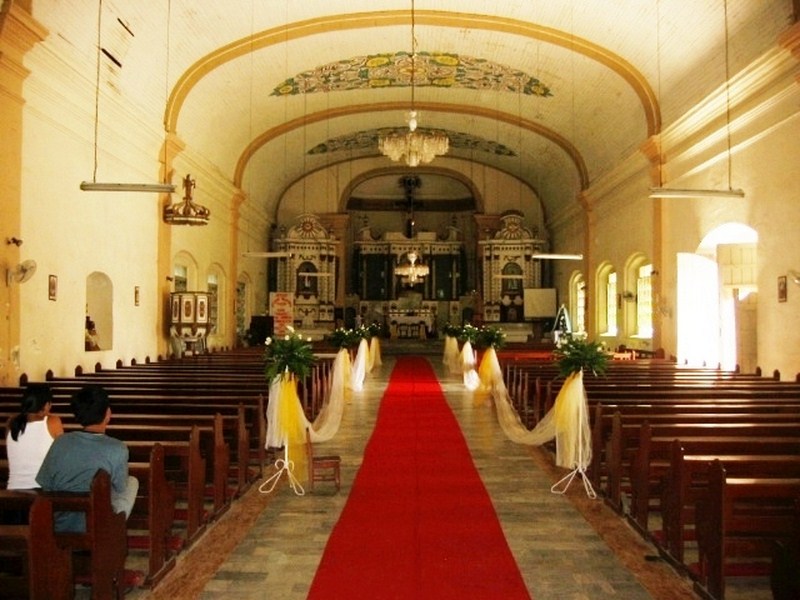
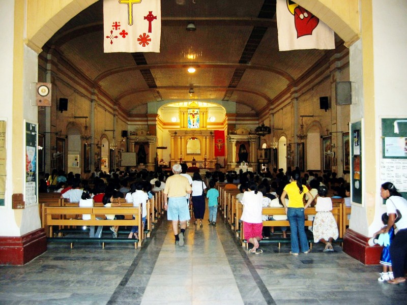
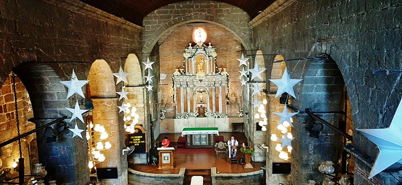
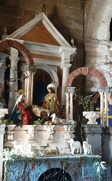
The church interior
How to Get There: San Fabian is located 9 kms. south of Lingayen and 191 kms. from Manila.