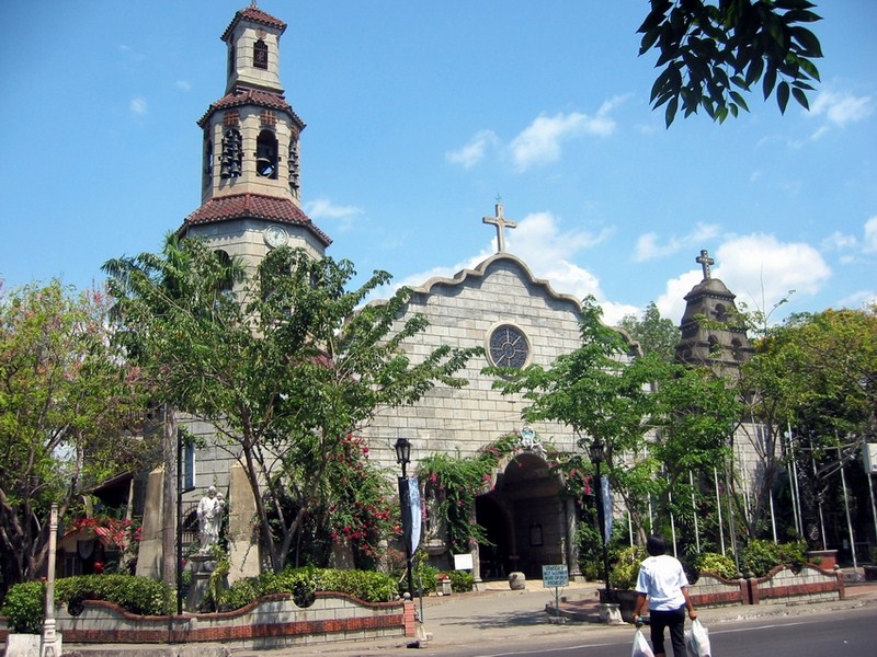
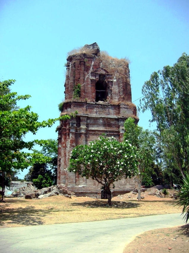
Off the National Highway, near Camp Oscar Florendo, I drove for about 500 m. to the Carmelite Monastery of the Holy Family in Brgy. San Vicente, about 1 km. south of the city. Beside it are the Pindangan Church Ruins, the picturesque, roofless remains of a small vine-covered brick and coral church, the first in San Fernando. The monastery’s nuns are the caretakers of these church ruins.
 |
| The Pindangan Church Ruins |
The church was built on May 6, 1786 to celebrate the union of sitios San Vicente de Balanac and San Guillermo de Dalangdang into the new village of Pindangan (derived from the Ilocano word pindang, a traditional method of drying fish). It was damaged during the 1892 earthquake and left in ruins. Today, only the solid stone walls and buttresses remain and a new chapel was built at its former altar where a mass is regularly celebrated. A belfry and a deep well are located at its south end.
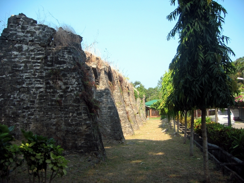 |
| Remains of the church’s buttresses |