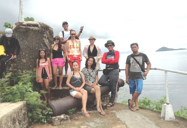
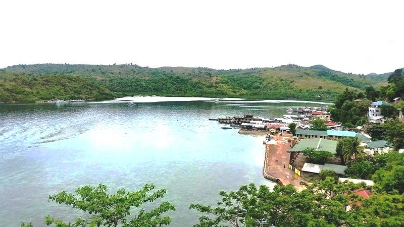
Buenavista View Deck (Puerto Princesa City, Palawan)

Sheridan Beach Resort & Spa Media Tour

An invitation, from Mr. Pete Dacuycuy, to join a media team covering the 2-storey, 4-star and eco-friendly and nature-inspired Sheridan Beach Resort & Spa allowed me to reconnect with Palawan, my last visit there being in 1993 during a vacation to Club Paradise Resort in Coron.  It would also be my first visit to Puerto Princesa City.  Joining me and Pete were food blogger Ms. Joy Calipes-Felizardo (www.gastronomybyjoy.com), professional photographer P.J. Enriquez, free-lance travel writer Lester Gopela Hallig and Ms. Charmie Joy Pagulong of The Philippine Star.  We all took the very early 5:20 AM Philippine Airlines flight from NAIA Terminal III.
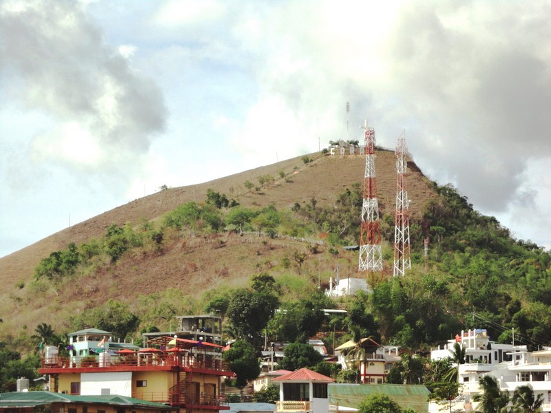
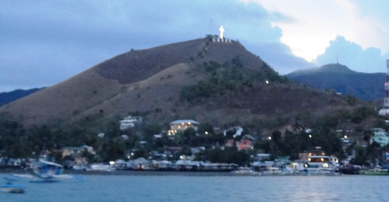
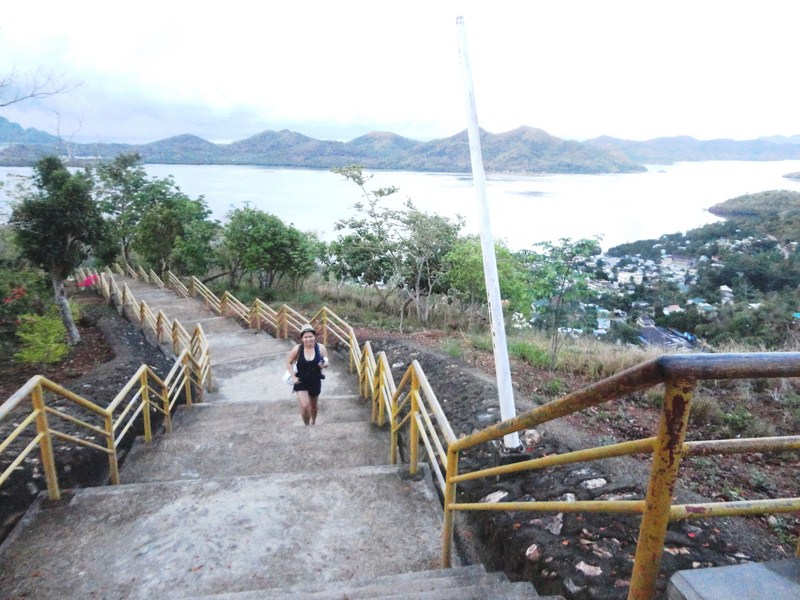
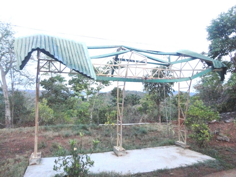
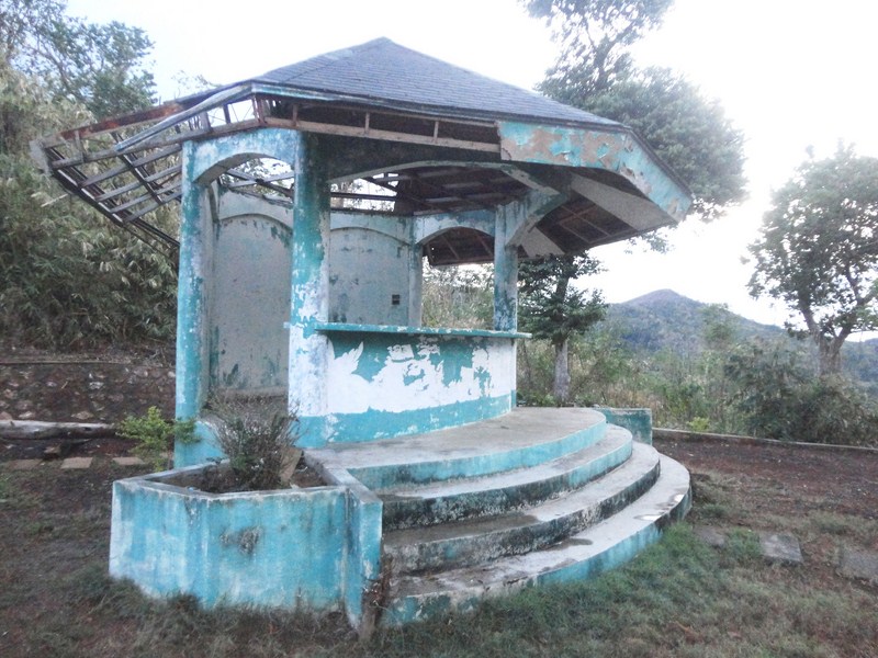
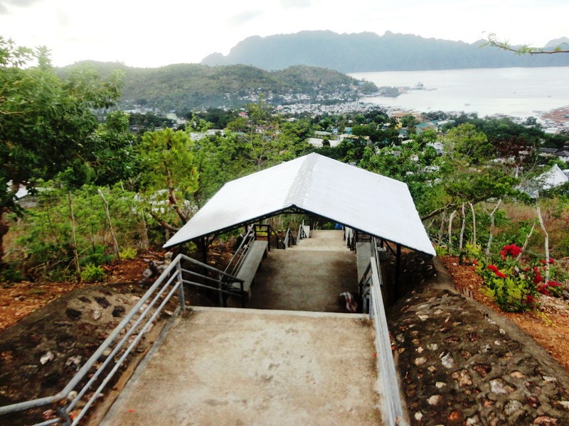
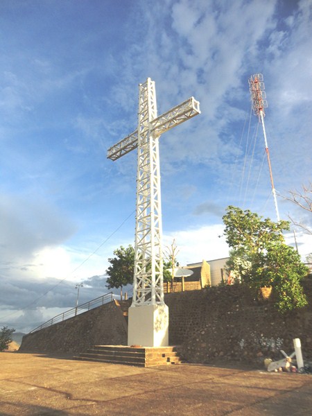
Buenavista View Deck

Buenavista View Deck

We arrived at Puerto Princesa Airport by 6:40 AM and were whisked, via the resort’s Toyota Grandia van, on a 75-km./2-hour drive through a winding, concrete zigzag road. Just 45 mins. from the resort, we made one stopover at Buenavista View Deck, along a high section of the road to Sabang.

Eatery and souvenir shop

Eatery and souvenir shop

Souvenir shop
It is part of the Community Based Sustainable Tourism program initiated by the Puerto Princesa City Government that aims to provide additional livelihood for locals residing in economically-marginalized communities.
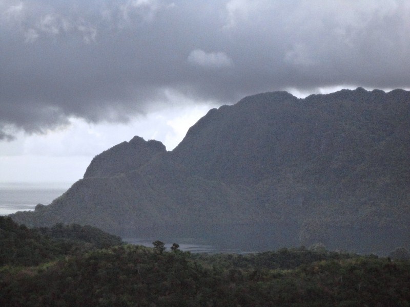
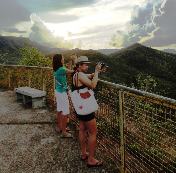
Spectacular view of Ulugan Bay

Spectacular view of Ulugan Bay

A popular stop over for tourists going to Puerto Princesa Underground River and Sabang Beach, it has an elevated concrete observation deck. Climbing the view deck, we had spectacular and relaxing views of Ulugan Bay, a deep channel on the northwestern coast of Puerto Princesa, Rita Island, the rocky outcrops of Tres Marias and Oyster Bay.  Portions of the karst formations of St. Paul’s can be viewed over the intervening areas of dense forests in the north.

Bags

Bags

Hats and caps

Hats and caps

Bracelets

Bracelets

There’s also a small eatery which sells meals and light snacks and a souvenir shop which displays and sells locally made wood carvings (masks, walking canes, chaku, police batons, etc.), baskets, necklaces, bracelets, earrings, rings, hats, T-shirts, ref magnets and key chains.

Chaku and walking canes

Chaku and walking canes

Police batons

Police batons

Corn coffee and honey

Corn coffee and honey

They also sell local food products such as bottled honey, cashew nuts and corn coffee.

Wooden masks

Wooden masks

Baskets

Baskets

Rainmakers

Rainmakers

Buenavista View Deck: Brgy. Buenavista, Puerto Princesa City, Palawan.

Balete Pass Tourism Complex (Santa Fe, Nueva Vizcaya)

After breakfast at Mrs. Gaddi’s Restaurant and some pasalubong shopping, we all boarded our Toyota Grandia van for our 6-hour return trip to Manila.  Along the way, we made a stopover at Balete Pass Tourism Complex, near the Nueva VizcayaNueva Ecija border, driving all the way up to the view point at the summit which is around 3,000 ft. (910 m.) in elevation.

Balete Pass

Balete Pass

Nueva Ecija Welcome Arch

Nueva Ecija Welcome Arch

The viewpoint has a number of picnic sheds and a plaque installed by the National Historical Institute.  An 800 m. long  zipline facility, currently being built was, according to Mr. Regie Catalbas, the complex manager, to open in a few weeks time. At the view deck, we had panoramic views of the Caraballo Sur  and the Sierra Madre Mountain Ranges as well as the headlands of both the Cagayan River and the Pampanga Valleys.

Balete Pass Tourism Complex

Balete Pass Tourism Complex

Balete Pass, also called Dalton Pass, is a gateway to the Cagayan Valley, and the Ifugao Rice Terraces. The headwaters of the Digdig River originate just south of the pass. Balete Ridge starts two miles to the west-northwest of the pass, with a high point at the 5,580 ft. high Mt. Imugan and extends 9 miles to the east-southeast, where it ends at the 4,600 ft. high Mt. Kabuto.

View of Caraballo Sur and Sierra Madre Mountains

View of Caraballo Sur and Sierra Madre Mountains

Zipline platform

Zipline platform

Zipline dry run

Zipline dry run

The pass was the site of the “Battle of the Skies,” fought in 1945, between the pursuing 25th U.S. Army and Filipino guerillas (under the command of Maj.-Gen. Charles L. Mullins) and the Japanese 10th Division (under the command of  Lt.-Gen. Yasuyuki Okamoto), the rear guard of the Japanese Army retreating to the river mouth to the north.  About 7,750 Japanese soldiers, 285 Filipino guerillas and 685 Americans soldiers, including Brig.-Gen. James L. Dalton II (after whom the pass was initially named), the assistant division commander who died from a sniper’s bullet, were killed in the battle.  The Americans took the Balete area on May 31, 1945.

Plaque installed by National Historical Institute (NHI)

Plaque installed by National Historical Institute (NHI)

There are three memorials, representing 3 nationalities (American, Japanese and Chinese), at the site.  We passed by two of these shrines.  The first shrine we visited was the Japanese shrine and monument.  Established by families and fellow soldiers of the fallen, it has several plaques, engraved stones and a cross with the inscription “Peace forever.”

Japanese Shrine (1)

Japanese Shrine (2)

Japanese Shrine

Japanese Shrine

Just below the Japanese shrine is the Chinese shrine dedicated to the 8 Chinese Overseas Wartime Hsuehkan Militia (COWHM) soldiers ho died at Balete Pass, fighting with the Americans and Filipinos. The memorial has extensive text about the origins of the COWHM and a small marker plaque, dedicated on May 7, 2001, for each of the 8 soldiers who died.

Chinese Shrine

Chinese Shrine

The memorial plaque reads: “Dedicated to the memory of our 8 comrades-in-arms, who fought alongside Allied liberating army (25 Division, 161 Infantry) and paid the supreme sacrifice during mop-up operations in the summer of May 1945, against retreating Japanese forces at Santa Fe, Nueva Vizcaya. May their brave heroic efforts in fighting for freedom serve as a shinning model for all peace loving men and women for all times to come. Ex-Chinese Overseas Wartime Hsuekan Milita (EX-COWHM).”

Chinese Shrine plaque

Chinese Shrine plaque

The American shrine, the one shrine we didn’t visit, has a simple 12-ft. high obelisk and a bronze plaque at the base of the monument area that reads “Erected in honor of those soldiers of the 25th Division who sacrificed their lives in winning this desperate struggle.  In taking this pass 7,403 Japs counted killed. 2,365 US Army 25th Divison killed and wounded. May 13, 1945.”

Lookout tower for Region 2

Lookout tower for Region 2

Behind it, just behind the memorial ridge line, is the small, unrelated DPWH/Perez Park, a memorial park with a lookout tower for Region 2, a 150 mm. Japanese howitzer and, directly behind the gun, the entrance to a large natural cave presumably used by the Japanese.

Dampol Bridge (Dupax del Sur, Nueva Vizcaya)

The nearly two century old, single arch Dampol Bridge

The nearly two century old, single arch Dampol Bridge

While my media colleague  Alexis Romero was busy interviewing Fr. Ferdinand E. Lopez at the Church of St. Vincent, I walked a short distance to Dampol Bridge which was said to have been built at the same time the church was being built.  Most tourists and some locals pass by it and don’t know that they are stepping upon or driving on one of Dupax del Sur’s historical treasures.

Approach to Dampol Bridge

Approach to Dampol Bridge

This nearly two century old, single arch unreinforced bridge that spans the Abanatan Creek which divides Brgy. Dopaj and Brgy. Dumang, was built in 1818 by the Isinai and other indigenous groups living in the area.  Its red-colored bricks were made from an old adobe workshop near the church, when Spanish Dominican friar Fr. Francisco Rocamora was vicar.

Abanatan Creek

Abanatan Creek

During a road construction and widening project undertaken by the DPWH -Nueva Vizcaya 2nd District Engineering Office in 2014 (who regarded the bridge as part of the National Highway), this important cultural and historical landmark was spared from demolition after an outcry from the Isinai community, but not after part of the protective brick wall had already been taken down in sections, exposing the inner filling to decomposition.

The damaged portion of the bridge

The damaged portion of the bridge

Today, only light vehicles (load limit: 5 tons) such as cars are allowed to cross the bridge, one at a time.  A suggestion to re-route traffic away from Dampol Bridge is now being considered.

Church of St. Vincent Ferrer (Dupax del Sur, Nueva Vizcaya)

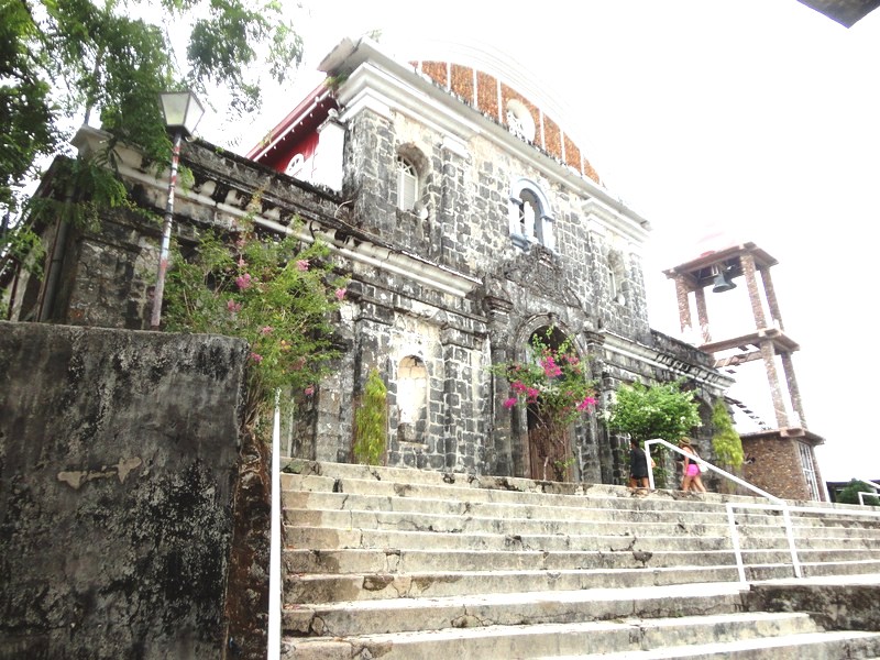
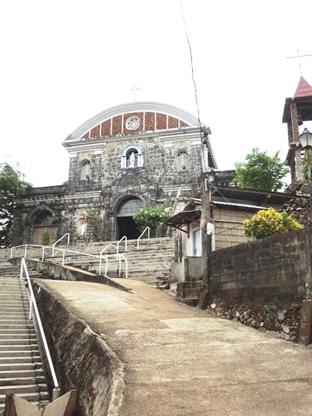
After covering the Kalanguya Festival, Roel, Alex and I boarded our van for the 2-hour trip to the town of Dupax del Sur where we dropped by its Church of St. Vincent Ferrer,  one of the oldest and biggest churches in North Luzon and the best-preserved church complex in Nueva Vizcaya. Here, we met up with parish priest Fr. Ferdinand E. Lopez.

Church of St. Vincent Ferrer

Church of St. Vincent Ferrer – a National Cultural Treasure

Declared a National Cultural Treasure by the National Museum of the Philippines in July 2001, this 18th-century  church,  under the advocation of Saint Vincent Ferrer (though its original titular patron was  the Nuestra Señora del Socorro), is under the jurisdiction of the Roman Catholic Diocese of Bayombong.

The 4-level, rectangular brick bell tower

The 4-level, rectangular brick bell tower

Made of brick, lime, coral or river rock and wood plastered over with stucco, the church covers an area of 7,200 sq. m. and its architectural design is similar to that of St. Peter Cathedral in Tuguegarao City, only less in ornamentation and lower in height with no spiral columns and pilasters to offer support to the structure.

The semicircular arched main portal, embellished with clay insets

The semicircular arched main portal, embellished with clay insets

The present structure (an earlier church structure of modest design might have been erected before 1773), built by Dominican Fr. Manuel Corripio, OP with brick in 1776, mimics the silhouette of the earlier Tuguegarao Cathedral and is reflected on the churches of Bayombong and Bambang. During its construction, Fr. Corripio had two kilns made near the church complex, one for firing bricks and the other for preparing lime.

Window framed by embossed carvings

Window framed by embossed carvings

The Baroque-style façade, divided by cornices into horizontal segments of plastered brick,  features a semicircular arched main portal, embellished with clay insets (representing symbols of the Dominican Order), and a main doorway flanked on both sides by two blind windows with an embossed image of the Holy Eucharist, all  at the first level.  The second level features a niche and two windows framed by embossed carvings.

Blind window with an embossed image of the Holy Eucharist

Blind window with an embossed image of the Holy Eucharist

The entire triangular pediment, divided into two horizontal sections, is capped by undulating cornices and 7 finials, with the central finial crowned with a cross.  The lower half is pierced by a deeply-recessed oculus  while the upper part features a small relief of a cross.

The triangular pediment

The triangular pediment

To the right of the façade is the unplastered, 4-level, rectangular bell tower whose base features a niche with the statue of St. Vincent Ferrer, similar to that found on the second level of the façade.  The tower’s second level features long, narrow windows framed with bracket columns. It is capped with a decorative parapet and a small cupola surmounted by a cross.

Niche with the statue of St. Vincent Ferrer at the bell tower

Niche with the statue of St. Vincent Ferrer at the bell tower

Long, narrow windows framed with bracket columns

Long, narrow windows framed with bracket columns

Each level bears inscription of the years when it must have been completed. We climbed all the way to the top of the tower via a very narrow, dark and steep stairway.  Two of the four bells were cast in 1858 and 1888. Up on the tower, we had a panoramic view of the whole town and the mountains of the Sierra Madre.

View of the town and mountains from the bell tower

View of the town and mountains from the bell tower

Inside the church are two, white-washed narthex pillars, supporting the choir loft, embellished with finely-carved stucco reliefs of cherubs, shells, florals and arabesques. Similar motifs can also be found on the baptistery. The original main retablo (altar backdrop) and pulpit are still intact but the heads of the statues in the retablo are believed to be just reproductions of the ivory ones stolen over the course of the church’s history.

The church interior

The church interior

White-washed narthex pillars embellished with finely-carved stucco reliefs

White-washed narthex pillars embellished with finely-carved stucco reliefs

The 2-storey church convent, connected to the church, still retains slits on the outer walls for archers to defend against attacks and target marauders. The church plaza is enclosed by a low perimeter wall and a replica of an earlier atrial cross.

The similarly ornate carvings in the baptistery

The similarly ornate carvings in the baptistery

Church of St. Vincent Ferrer: Aritao-Quirino Rd., Brgy. Dopaj, Dupax del Sur, 3707, Nueva Vizcaya.  Tel: (078) 808 1016.

The church pulpit

The church pulpit

How To Get There: Dupax del Norte is located 248.26 kms. from Manila and 26 kms. south of Bayombong.

Kalanguya Festival (Sta. Fe, Nueva Vizcaya)

The next day, after breakfast, we observed the beautiful and colorful parade of 16 floats (each representing a barangay) along the National Highway as wound its way to the Santa Fe Sports and Cultural Center at the town proper.

Brgy. Bantinan float

Brgy. Bantinan float

Brgy. Sta. Rosa float

Brgy. Sta. Rosa float

Each float had their barangay’s beauty candidate, wearing a Kalanguya costume, on board. Floats were also bedecked with the barangay’s farm produce (chayote, eggplants, tomatoes, carrots, sweet potatoes, ginger, bananas, pechay, pineapples, etc.), baskets, walis tambo (tiger grass brooms) and flowers.

The winning walis tambo-themed float of Brgy. Bacneng

The winning walis tambo-themed float of Brgy. Bacneng

At the town proper, the street dancing competition unfolded with a street performance held in front of the municipal hall and the ground demonstrations at the Santa Fe Sports and Cultural Center.  Both showcased the Kalanguya’s costumes, dance and musical instruments.

Santa Fe Sports and Cultural Center

Santa Fe Sports and Cultural Center

Alexis, Roel, Ms. Lelia E. Blancaflor (DOT Region 2 acting director), Ms. Imelda A. Garduque, also from DOT Region 2, and I were asked to judge the competition.  We would also do so for the float competition. Three contingents – Kalahan, Canabaan National High School and Sta. Fe National High School presented story lines regarding a particular Kalanguya practice.

The street performance in front of the municipal hall

The street performance in front of the municipal hall

Ground demonstration

Ground demonstration

We also observed the padit, a grand canao (socio-religious celebration) ritual featuring the traditional (but shocking to others) butchering of pigs, native chickens and 2 carabaos.  These were then boiled and served to all attendees.  Tapey (native wine) was also served to guests while the bah-liw was chanted by tribal elders.

Kalanguyas performing the padit

Kalanguyas performing the padit

Later, officials, guests and barangay officials danced the tayaw, to the beat of gangha or gangsa (gongs). Indigenous sports such as bultong (wrestling), tug-of-war, bamboo pole climbing, wood chopping, gayang (spear throwing), hanggol (arm wrestling) and dapapnikillum (pig catching) plus tapey drinking and group chanting of the bah-liw were also featured.

A pig sacrifice

A pig sacrifice

Within the festival venue are 16 booths selling jams and jellies made from guava, santol, bignay or wild berries; farm produce such as camote, gabi, vegetables, yakun, sayote, etc.; Ifugao handicrafts such as rattan baskets, woodcarvings; tiger grass soft brooms; and exotic and beautiful handwoven fabrics used as tapis by women and g-strings by the men.

DSC07496

DSC07504

Farm produce at the Agri-Tourism Fair

Farm produce at the Agri-Tourism Fair

Sta. Fe Municipal Hall: Poblacion, Sta. Fe, Nueva Vizcaya. E-mail: info@santafe.gov.ph. Website: www.santafe.gov.ph.

Imugan Falls (Sta. Fe, Nueva Vizcaya)

After checking in at Sta. Fe Forest Park, we still have free time before covering the Kalanguya Festival the next day so Rollie, Gener, Mon, Alex, Roel and I opted to explore the town’s Imugan Waterfalls, one of the town’s natural attractions. Ms. Ma. Theresa Farrah Dugay, Sta. Fe’s Municipal Tourism Officer assigned Mr. Emmanuel A. Caramat, Ms. Melany C. Lazaro and Mr. Regie Catalbas as our guides.

Imugan Falls

Imugan Falls

We all boarded our van for the 7-km./30-min. drive to the jump-off point at Brgy. Imugan for the hike to the falls, arriving there by 3 PM. At the barangay hall, we observed a float being prepared for the next day’s Kalanguya Grand Parade. Their float’s theme is centered on the ubiquitous, pear-shaped and light green chayote (Sechium edule, locally called sayote), the barangay’s principal produce.

Imugan Barangay Hall

Imugan Barangay Hall

Preparing a float

Preparing a float

Jump-off point to Imugan Falls

Jump-off point to Imugan Falls

According to Emmanuel, the nearly 1-km. hike to the falls would take us around 30 mins. The initial part of our hike was along a cemented pathway between an irrigation canal with flowing spring water and newly watered rice paddies. After crossing a stream, we now traversed a narrow, leaf-strewn but mildly graded dirt trail through a light dipterocarp forest.

Initial hike along a concrete pathway between an irrigation canal nad rice paddies

Initial hike along a concrete pathway between an irrigation canal and rice paddies

Hiking a  narrow dirt trail strewn with dead leaves

Hiking a narrow dirt trail strewn with dead leaves

A hanging bridge

A hanging bridge

The hike was scenic all throughout, with views of a hanging bridge and the boulder-strewn stream emanating from the falls below us and, along the trail, of wild orchids clinging to trees, giant ferns and stems of tiger grass (scientific name: Thysanolaena maxima), used in the manufacture of the popular walis tambo or soft broom).

Tiger grass

Tiger grass

An exotic orchid

An exotic orchid

An orchard of sayote

An orchard of sayote

Also along the way we passed numerous orchards of sayote, all sprouting on vines clinging to a moderately-spaced mesh of G.I wire and supported on poles along the steep slope of the mountain side.

Melany crossing a boulder-strewn stream

Melany crossing a boulder-strewn stream

After rounding a U-shaped bend along the trail and crossing a stream, we soon heard the rush of falling water signaling our arrival at Imugan Falls which is located between two mountains in the Caraballo Mountain Range. With a height of about 35 ft. and falling in 2 levels, its refreshing mountain spring waters drop down into a shallow catch basin.

The author at Imugan Falls

The author at Imugan Falls

As we didn’t bring bathing attire, we didn’t swim its bracingly cold waters but we did savor its natural beauty, pristine setting and quiet surroundings. To the left of the falls are some rather steep steps carved into the rock face which, according to our guides, lead to the fall’s smaller first level which also has a basin. We passed on this opportunity though and, instead, made our way back to Imugan. Our hike to the falls was truly a fitting start to our visit to Sta. Fe.

Sta. Fe Forest Park (Sta. Fe, Nueva Vizcaya)

For the second time around, I was asked to cover the Kalanguya Festival (the first time was in March 15, 2003), now on its 20th year, in Sta. Fe, Nueva Vizcaya, joining a media group consisting of two other print media representatives (Roel Hoang Manipon, Asst. Editor of The Daily Tribune, and Alexis B. Romero, reporter of The Philippine Star) and three staff from the Department of Tourism (Rolando “Rollie” Cagasca, Ramon “Mon” Rebulado and Gener Carlos).

San Jose City (Nueva Ecija)

San Jose City (Nueva Ecija)

We all left Manila by 7:15 AM and the 216.85-km. trip took all of 6 hrs., including a stopover for lunch at a Chowking branch in San Jose City (Nueva Ecija). We arrived at the town by 1:30 PM and were warmly welcomed by Mayor Liwayway C. “Liway” Caramat and Municipal Tourism Promotion & Development Officer Ma. Theresa Farrah C. Dugay.

Ms. Ma. Theresa Farrah C. Dugay and Mayor Caramat

Ms. Ma. Theresa Farrah C. Dugay and Mayor Caramat

After our courtesy call on Mayor Caramat, , we were checked in at cottages within the 2,200-hectare Santa Fe Forest Park, a reforestation project with Benguet pine and West Indian mahogany (Swietenia mahagoni). The Grand Parade was to also start here and contingent members were billeted within buildings in the park.

Sta. Fe Forest Park

Sta. Fe Forest Park

Mahogany trees along the driveway

Mahogany trees along the driveway

The Santa Fe Forest Park was an erstwhile reforestation project of the DENR that commenced in the mid-1950s. It covers around 2,200 hectares of areas in Barangays Bacneng, Baliling Villa Flores and Poblacion. On September 22, 1997, the Sta. Fe Forest Park was established for nature-based tourism, covering about 1,000 hectares within the 11,664 ha Consuelo Reforestation Project.

Cottages

Cottages

Multi-Purpose Hall

Multi-Purpose Hall

P1230744

The DENR, through a Memorandum of Agreement, handed over the management of the reforestation project to the LGU of Sta. Fe, which eventually paved towards the development of the erstwhile project into a forest park.

Burnham Park (Baguio City, Benguet)

From Mines View Park, Melissa, Almira, Albert, Jandy and I walked back to EGI Albergo de Ferroca Hotel, where we rested a while, then took a taxi for Burnham Park, the city’s foremost and oldest park that forms the heart of the city.  The ‘mother of all parks’ in the Summer Capital of the Philippines, it is almost as familiar to Filipinos as Luneta Park in Manila.

Burnham Park - green lung of Baguio City

Burnham Park – green lung of Baguio City

This 32.84-hectare urban park, located at the heart of Baguio City, was named after the American architect and urban planner, Daniel Hudson Burnham who simultaneously designed the park and the original plans for the city. Construction began around 1904. During the devastating earthquake on July 16, 1990, the park played an important role when it served as a place of refuge for the people of Baguio.

Daniel  Burnham Bust

The bust of Daniel H Burnham

Burnham Park, overlooking Mt. Kabuyao, covers the only large expanse of level ground within hilly surroundings and was originally intended to serve as a much-needed green lung for the bustling city by providing it with wide open green spaces and a peaceful environment. The modern park, although smaller than the original park due to urban development, still retains much of Daniel Burnham’s original design and layout a century ago.

Author at Burnham Park, April 3, 1986

Author at Burnham Park, April 3, 1986

Under Filipino administration, a number of features were added and now, in true Filipino fashion, Burnham Park is now more of an amusement park with boating, bicycle and skating areas, sports and gaming areas (football field,  tennis courts and basketball courts), plus a few restaurants and eateries that cater to park-goers. In the morning, residents jog around the lake or the children’s playground while groups do healthy exercise routines such as zumba, tae-bo and sometimes tai-chi.

Burnham Park

Baguio Blooms Exhibition And Exposition at Burnham Park

The centrally located and thickly-wooded Burnham Park has a man-made lake; lawns; wooded areas; paved flower-punctuated pathways, with seats and benches throughout;  and numerous flower beds planted with roses, marigolds, daisies and hollyhocks that thrive in the temperate environment of Burnham Park, an unusual sight considering that the Philippines is mostly tropical. During the June to September rainy season, the park is often shrouded in fog and takes on a misty atmosphere. Following the end of the rainy season, flowers bloom in abundance.

Football Field

Football Field

Burnham Park, a scenic venue for walking and photography, has 12 cluster areas: the man-made Burnham Lake, the Children’s Playground (at the western part), the circular Skating Rink (at the southern part), the Rose Garden (with a bust of Daniel Burnham), the Orchidarium (at the western part, with various plants, flowers and orchids on display and for sale), Igorot Garden, Melvin Jones Grand Stand and Football Field (at the eastern part), the Athletic Bowl, a Picnic Grove, Sunshine Park, the Japanese Peace Tower and a section called “Pine Trees of the World.”

Solibao Restaurant

Solibao Restaurant

The Melvin Jones Grandstand is used periodically for several activities such as parades, concerts and political rallies. On certain Sundays, cadets from the Philippine Military Academy practice silent drills and the occasional parade.  The park may be accessed from either Harrison Road, Kisad Road, Governor Pack Road and Magsaysay Road. Several stretch of roads around the park lead to Camp John Hay, a former recreational base of the United States Armed Forces in the Philippines.

Typical fare at Solibao Restaurant

Typical fare at Solibao Restaurant

It being a long Chinese New Year weekend, the park was filled with lots of tourists and residents.  We checked out the Baguio Blooms Exhibition and Exposition, an activity of the 20th Panagbenga Festival along Lake Drive. It was already past noon and, since we had lunch yet, proceeded to nearby Solibao Restaurant where we dined on kare-kare, fried chicken, gising-gising and pinakbet and topping it off with a dessert Solibao Restaurant is famous for – puto bumbong (steamed glutinous rice with freshly grated coconut, brown muscovado sugar and melted butter).

Burnham Lake

Burnham Lake

After lunch, we then proceeded to romantic, photogenic and man-made Burnham Lake, the park’s focal point that is often referred to as Burnham Lagoon.  The lake was formerly a natural spring which drained northward to the foot of Session Rd. to join with the Balili River in La Trinidad. Here, we decided to rent (PhP150 for a 5-pax boat) a swan-themed rowboat for going around the lake and exercising our arm muscles.  They say that any visit to Baguio City wouldn’t be complete without trying this out.

Swan boats at Burnham Lake

Swan boats at Burnham Lake

Albert, Melissa, Almira and Jandy at Burnham Lake

Albert, Melissa, Almira and Jandy at Burnham Lake

Then it was off to the bicycle rink where kids and adults could rent a range of bicycles if they so wish. You can rent either single bikes (PhP40/hour), tandem bikes or even bikes with side cars (PhP50/hour). They even have small children’s’ bikes of both two and three wheel versions. It is pedestrian-friendly and you don’t need to worry about bumping a motorized vehicle. Albert, Almira, Melissa and Jandy alternately tried out single BMX bikes for an hour.

Biking for the very young, young  ...........

Biking for the very young, the young ………..

...... and not so young

…… and even the not so young

Burnham Park’s truly is the very heart of Baguio City and, to this day, it remains one of the Philippines’ most well known and best-loved parks, making it a vibrant center of activity for everyone to enjoy.

Jandy at the bike rink

Jandy at the bike rink

Burnham Park: Legarda-Burnham-Kisad, Baguio City, 2600 Benguet

Cordillera World (Baguio City, Benguet)

Cordillera World

Cordillera World

Before we left the ever-popular Mines View Park, Melissa, Almira, Albert, Jandy and I visited the nearby Cordillera World, one of the newest attractions in the City of Pines located on the left side of the Mines View Tourism Office.

The narrow stairs leading up to the museum

The narrow stairs leading up to the museum

Wooden sleepers on a gravel bed

Wooden sleepers on a gravel bed

A pet project of Mr. Roland Cayat, this travel destination was opened last March 2011 through the help of some local investors and the support of the members of the Mines View Barangay Council.

Registration area and donation basket

Registration area and donation basket

A showcase of the rich heritage of the original mountain tribes of Northern Luzon, it is also an excellent vehicle to support a local advocacy and special program that helps out-of-school youths to go back to school or to finance and support their young families. There is no entrance fee but voluntary contributions from generous visitors to support the project are accepted.

Cordillera World (1)

Cordillera World (4)

We entered this second floor mini-museum/souvenir shop via a narrow wooden stairway whose risers feature salutations of “welcome” in five local dialects. Once inside, we had to register our names before taking photos. Do go around the displays, we walked on wooden sleepers laid on a gravel bed..

Cordillera World (2)

Cordillera World (11)

Here, we learned more about the lifestyle and culture of the highlands, seeing and sometimes touching ancient tools, clothing and accessories used by different tribes of the Cordilleras.

Cordillera World (7)

Cordillera World (8)

Visitors can even wear colorful, woven native costumes and feathery headdresses, as well as of being armed with hand-made bows, arrows and spears, and take photos as many times as they like.

Jandy and Almira in front of the replica of an Ifugao hut

Jandy and Almira in front of the replica of an Ifugao hut

At the center of the museum is a life-size replica of an Ifugao house decorated with animal skulls, woven tapestry and palay. From a viewing deck, we enjoyed the same spectacular view of the Cordillera mountains as seen from Mines View Park.  Beside it is their version of a “wishing well” (actually a pan filled with water).

Almira, Jandy, Albert and Melissa enjoying the mountain view

Almira, Jandy, Albert and Melissa enjoying the mountain view

A "wishing well"

A “wishing well”

Unique souvenirs sold here include Ifugao wine, CD that contains local Ifugao music to savour the culture even more, wood carvings and statues, pure honey, feathered headdresses and dream catchers that are hung around the place.

Cordillera World (10)

Cordillera World: Gibraltar Rd., Baguio City, Benguet.

Mines View Park (Baguio City, Benguet)

After our visit to Wright Park and The Mansion, Melissa, Almira, Albert, Jandy and I all took a taxi for Mines View Park,  an overlook park located on a land promontory  on the extreme northeastern outskirts of Baguio City, about 4 kms from downtown.  The park overlooks the mining town of Itogon.  One of the most popular and most visited parks in the city, it should not be missed when visiting Baguio.

Mines View Park

Mines View Park

In decades past, I have visited this park every time I was in the city with my parents and siblings during Christmas and, when I got married, with my own family.

Mines View Park, January 10, 1995.  9 year old Jandy and 5 year old Cheska with my wife Grace (standing at right)

Mines View Park, January 10, 1995. 9 year old Jandy and 5 year old Cheska with my wife Grace (right)

During the early 1960s and 1970s, the main attraction here was throwing coins from the uniquely shaped and still much photographed observation gazebo structure, down the mountain ridge, to little boys wearing g-strings who would run like crazy catching them or search for them, even through the rocks and small cracks of the ground below.

The park entrance

The park entrance

Later on, as residential communities started sprouting below the ridge, the children had to be more deft and creative in catching the coins, using homemade cups attached to long poles. This practice has been stopped due to the risk of accidents. Instead, a wishing well was built in memory of the Igorot kids who started this unique attraction in Baguio City.  Also back then, horses from the Wright Park Riding Circle and the Baguio Country Club were allowed to pass the area, allowing riders to actually get off there, have some snacks or do some quick souvenir shopping, get back on their horse and then head back downhill.

The much photographed gazebo

The much photographed gazebo

Jandy and Almira at the observation deck

Jandy and Almira at the observation deck

It being a long Chinese New Year holiday, there were many visitors when we arrived at the park. At the entrance to the park and at the open parking area at the vicinity of the park are souvenir stalls plus a number of canteens, snack stores and ambulant vendors selling food and beverages such as grilled dried squid, jumbo hotdogs on a stick, fried squidball and corn on a cob (or shredded in a cup).  Across it is Ibay Zion Plaza which sells silver jewelry made by the popular silver shop, Ibay.

The panoramic view of the Central Cordillera mountains

The panoramic view of the Central Cordillera mountains

One of the charming denizens in this really gigantic tourist trap is a popular, cute, cuddly and friendly but huge St. Bernard dog wearing sunglasses named “Doglas” who is available for picture-taking with tourists (PhP20.00). Other photo op gimmicks include having your picture taken riding a small, lazy, pink-maned (and tail) pony wearing a cowboy hat (PhP10 per shot), pose with or take pictures of (both for a fee) natives in Igorot attire (g-strings, vest and headdress for men, plus spear and shield, and tapis for women), or also rent the aforementioned native costumes and have your photo taken (with your own camera) for PhP10 per shot.

The somewhat disappointing view of creeping development

The somewhat disappointing view of creeping development

We all walked down the winding stone-covered stairway to the observation deck situated below. From the observation deck, we had a spectacular and breathtaking panoramic view of the abandoned gold and copper mines of the Benguet Corporation, the surrounding Central Cordillera mountains, a glimpse of the Amburayan Valley and the quite disappointing view of homes below. Here, you can rent a binocular (PhP10 for 5 mins.) for a better view. At the promontory, we sat down at benches to rest and enjoy the view.

Some pine-clad mountain slopes remain

Some pine-clad mountain slopes remain

Later on, we did some souvenir shopping.  The souvenirs stalls here have multiplied over the years.  They now extend to the sides of Gilbraltar Road and Outlook Drive and many are located closer to the ridge itself.  There were some good bargains at the stores and, before deciding to buy a particular item, we checked and compared prices. Stalls here sell native handicrafts such as wood carvings (including the iconic but obscene “barrel” man), locally-made silver products and jewelry (rings, pendants, bracelets, etc.), baskets, scarves, wallets, T-shirts, sweet preserves, tiger grass brooms, sweaters, peanut brittle, native bags, blankets, knitted bonnets and a variety of other items all similar to those found in the dry goods section of the Baguio City Market but only at a much smaller scale.The selections, though, are said to be better here.

Souvenir stalls

Souvenir stalls

For those who love gardening, a variety of plants and flowers such as bromeliads, mums, busy daisy, everlasting, money tree, cactus, and other succulents are also sold along the walkway.

Plants and flowers for sale along the walkway

Plants and flowers for sale along the walkway

On certain months of the year, plan your visits to the park d earlier during the day as the view may not be visible when the fog starts to move in during the afternoon.

Jandy, Almira, Melissa and Albert at Mines View Park

Jandy, Almira, Melissa and Albert at Mines View Park

How to Get There By private transportation: From MacDonald’s, Sesion Road, climb up and turn at Leonard Wood Road, passing iconic Baguio attractions such as Teachers Camp and Botanical Garden and the Pacdal Rotunda, then go straight up C. P. Romulo Drive, passing Wright Park Riding Circle and The Mansion. Climbing up, the road curves to the left to Outlook Drive.  Once you see Baguio Townhouse on the right, Mines View Park will be at the top.  Do not take the road going straight down to Itogon (Benguet).  A more direct route is to pass Gibraltar Road, to the left of Wright Park Riding Circle. Once you see the Good Shepherd Convent on your left, Mines View Park is just a few meters away. The winding stone-covered stairway leading to the observation deck By Public Transportation: Public utility jeepneys (PUJ), using the Plaza-Mines View line, are available along Mabini Street (10 to 20-min. ride). You can also hire a metered taxi to take you there.  Tou can also contract the taxi driver by the hour or for the day. For larger groups, it may be better to hire a jeepney instead.