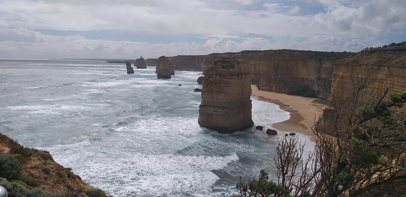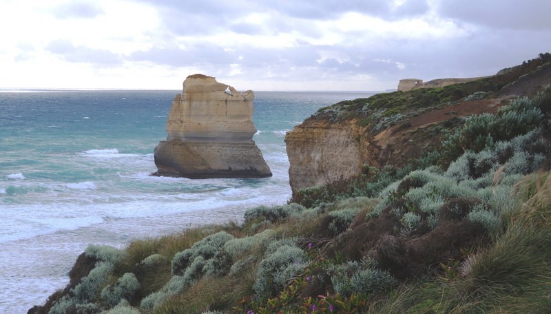
View from The Gibson Steps
Loch Ard Gorge was supposed to be the last item in our Great Ocean Adventure Tour itinerary but our Bunyip Tour guide/driver Jake Smithers said that, as we still had time, we were in for another treat to explore – The Gibson Steps. From Loch Ard Gorge, it was just a short 5.1-km. (8-min.) drive to the Gibson Steps, another area of cliffs.
The Gibson Steps
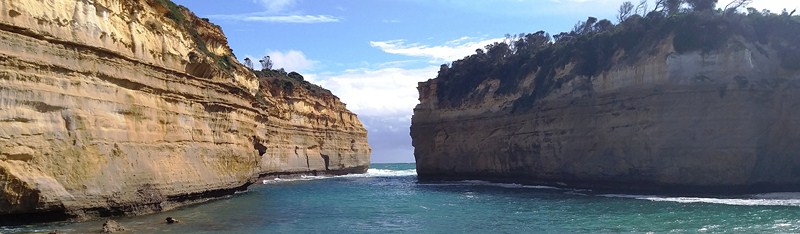
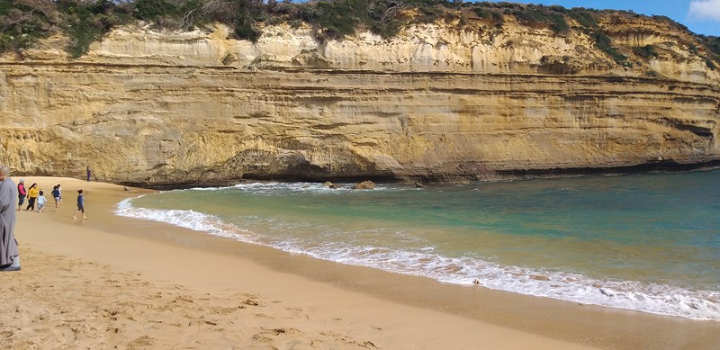
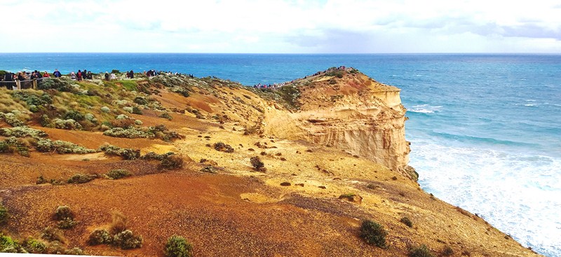
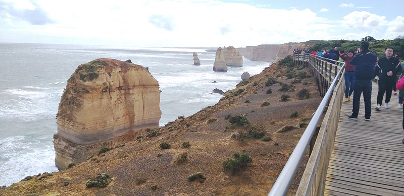
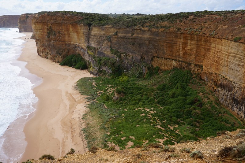
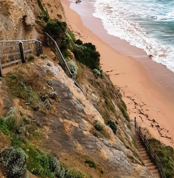
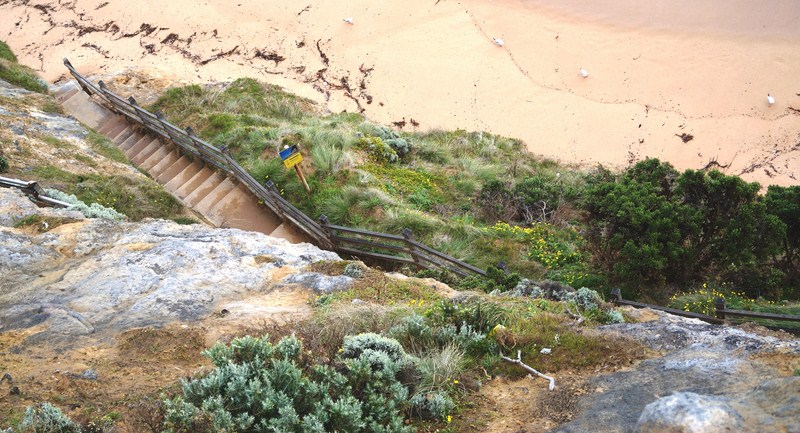
For travelers heading west along the Great Ocean Road, the cliffs are actually the first sightseeing stop-off in Port Campbell National Park, a 1-km. (2-min.) drive from The Twelve Apostles. Set along the glorious stretch of Great Ocean Road, the Gibson Steps refers to the staircase, leading down the 70-m. high vertical cliffs, to the lush stretch of beach below.
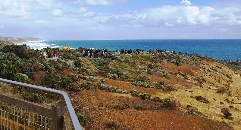
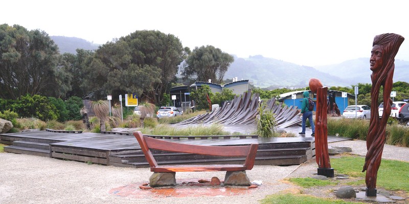
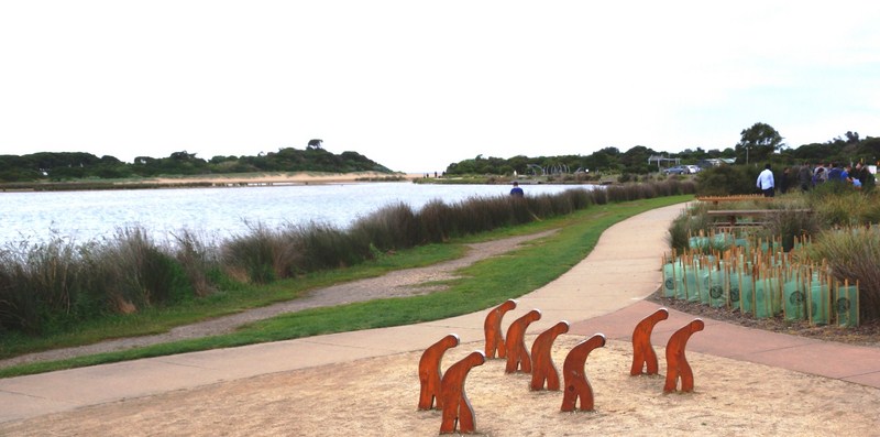
The boardwalk leading to The Gibson Steps
Like most of the Great Ocean Road’s attractions, the Gibson Steps has a fascinating history dating back hundreds of years as it was originally thought that the steps were cut out by the Kirrae Whurrong people, a local tribe who called the area home.
However, it was only in 1869 that the steps got their full use and their name as local settler and pioneer Hugh Gibson, who built nearby Glenample Homestead, as well as fishermen and other seafaring workers, regularly used the 86 steep steps, carved into the face of the cliff, to access the beach and the water below.
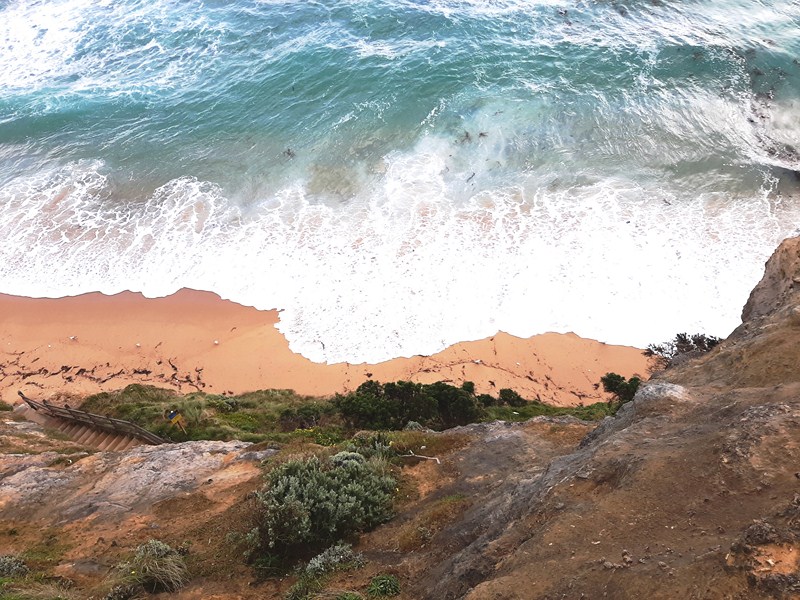
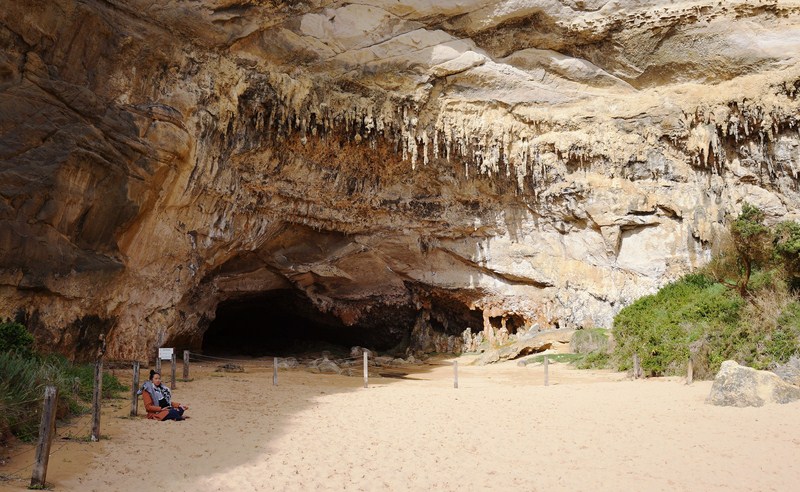
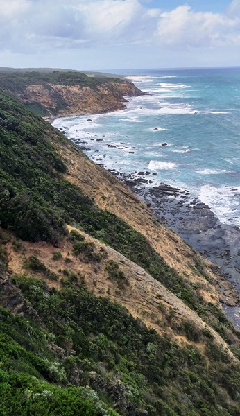
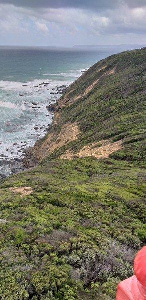
The beach below
Gibson is most famous for his role in the Loch Ard shipwreck as Tom Pearce and Eva Carmichael, the two shipwreck survivors, regained their strength at his homestead.
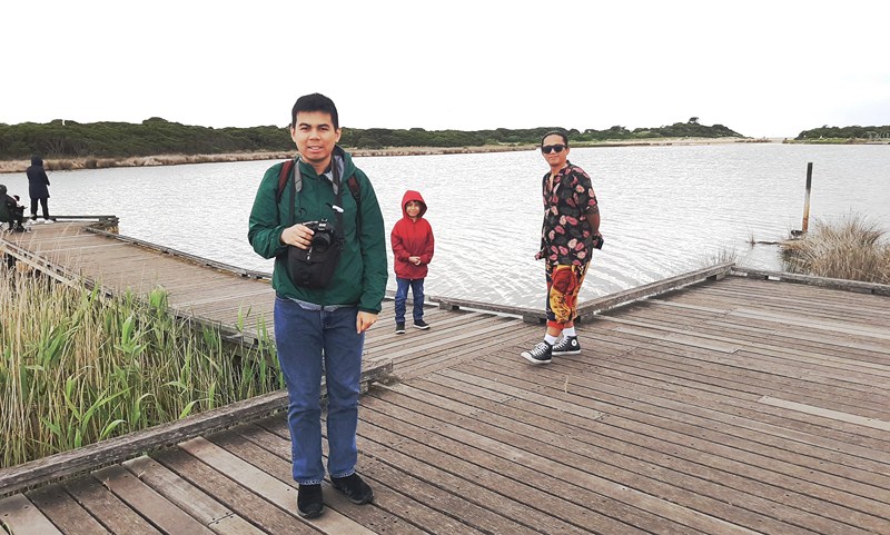
Check out “The Great Ocean Road Adventure Tour: Loch Ard Gorge”
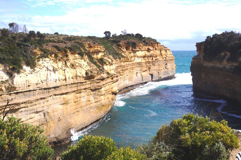
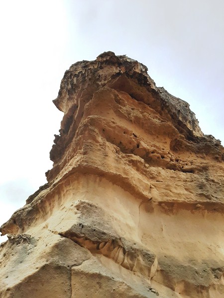
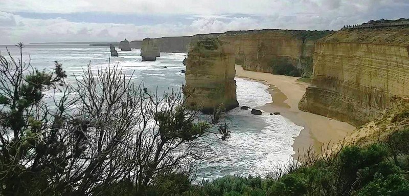
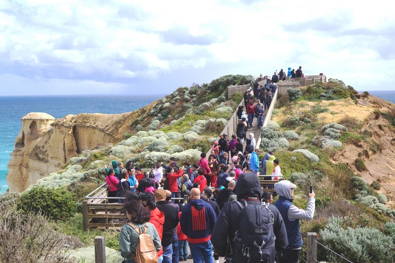
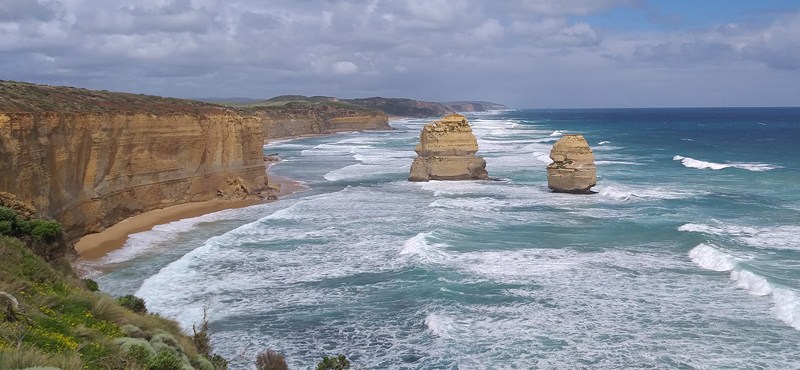
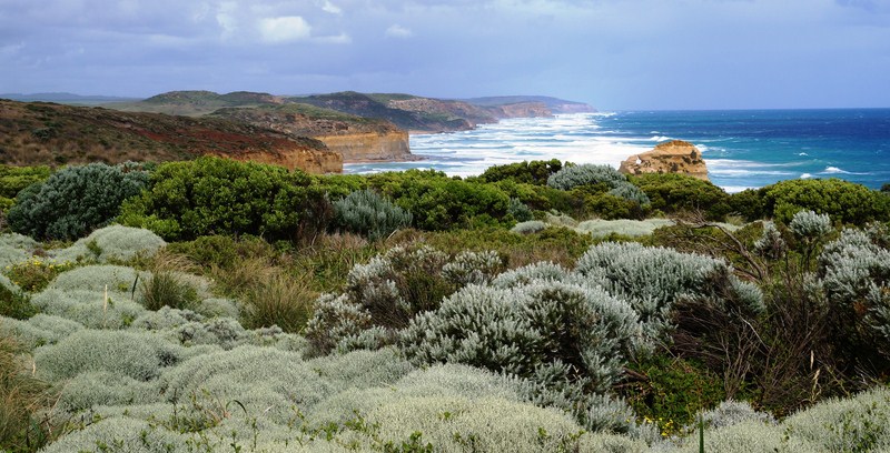
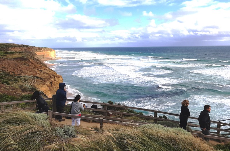
From the viewing platform at the top of the steps, we marveled at the natural scenery on offer – Gog and Magog, the nicknames given to the two jutting giant limestone rock stacks rising up out of the Indian Ocean (or Southern Ocean according to Australian geographers). Spectacular natural wonders like the Twelve Apostles (however, they are not considered part of the Twelve Apostles), they were also sculpted by weather conditions.
Check out “The Great Ocean Road Adventure Tour: The Twelve Apostles”
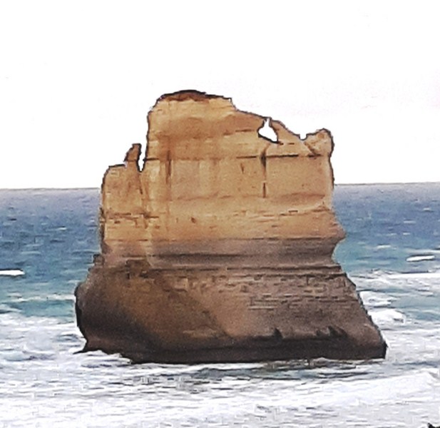
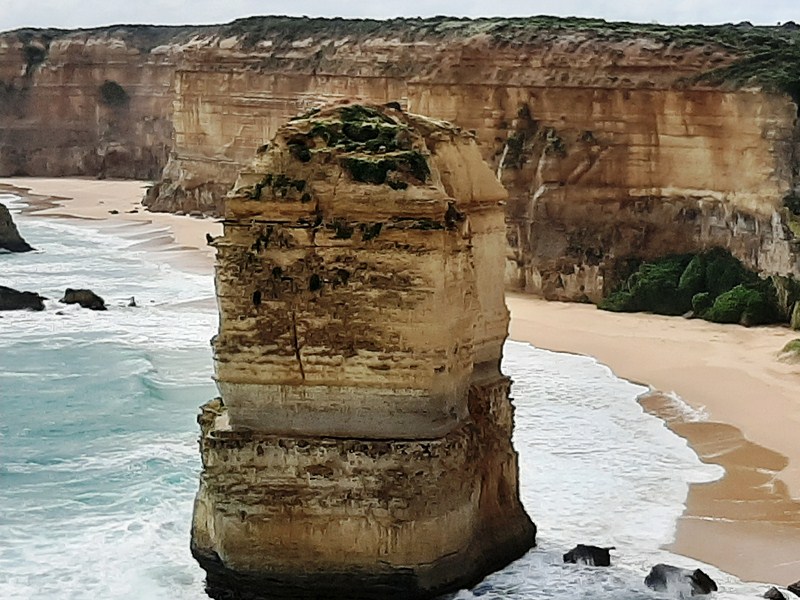
Gog (or Magog?)
The beach at the bottom of the Gibson Steps is popular for recreational fishing (Australian salmon, sweep, trevally, gummy shark, etc.) at an exclusion zone east of the steps towards Princetown (Clifton Beach). However, despite the popularity of fishing, swimming here is highly unadvised, as the ferocious reefs and rip holes make for incredibly choppy waves.
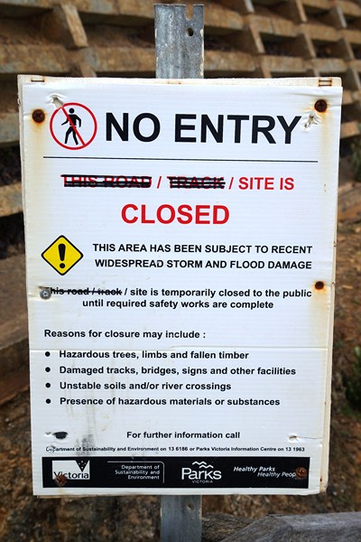
The disappointing sign…..
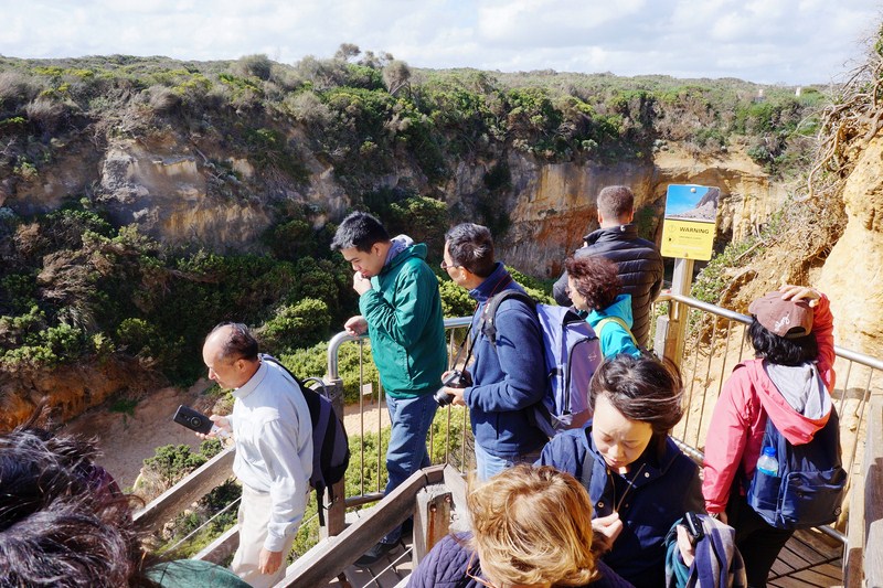
Jandy and I wanted to make my way down to the beach via the steps to view the stacks in a different perspective but, halfway down, the path was barred as the area has been subjected to widespread storm and flood damage and will remain temporarily closed until required safety works are completed.
Our visit to The Gibson Steps marked the end of our Great Ocean Road Adventure Tour and we were in for a long nearly 3-hour (226.9-km.) drive, via Princes Highway/A1 and M1, back to Melbourne. An hour (74.5 kms.) out of Gibson Steps, we made a short stopover, for dinner, at the Noodle Canteen in Colac before continuing on our way back to Melbourne.
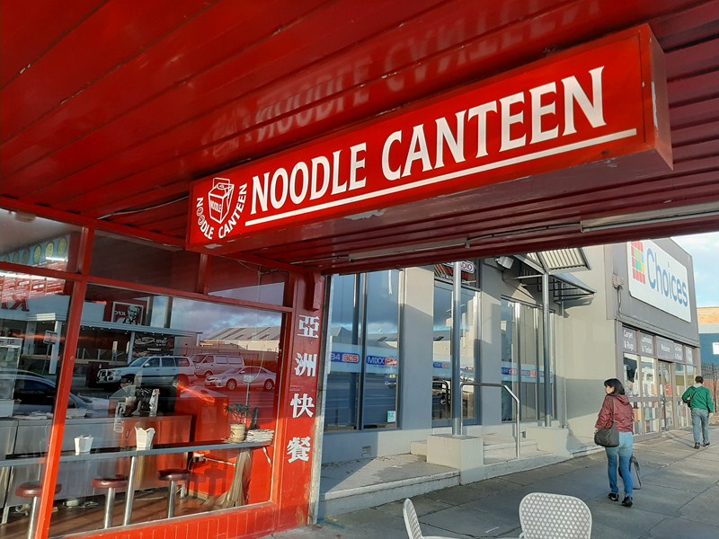
Noodle Canteen (Colac)
The Gibson Steps: Port Campbell National Park, Victoria, Australia. Tel: 1300 137 255. E-mail: pcvic@corangamite.vic.gov.au.
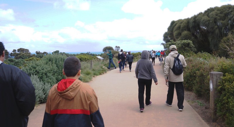
For those bringing their cars, park at the 12 Apostles and walk to Gibson Steps via a 1.1-km. gravel path section of the Great Ocean Walk which departs from the back of the kiosk at the 12 Apostles and safely underpasses the Great Ocean Road near the Gibson Steps viewing platform and beach access. Coordinates: 38°40′06″S 143°06′43″E.
Noodle Canteen: 243 Murray St., Colac, Victoria 3250, Australia. Tel: +61 3 5231 2807.