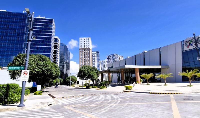
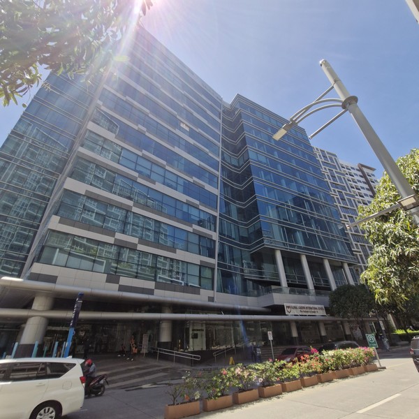
The 28.8-hectare (74-acre) Mactan Newtown, a mixed-use, master-planned central business district, is the first integrated township development built by Megaworld Corporation outside of Metro Manila and the country’s first “Live-Work-Play-Learn” lifestyle township. It caters to facilities and establishments such as condominiums, hotels, business process outsourcing office towers, a convention facility (Mactan Expo Center), a lifestyle mall, schools (Newtown School of Excellence, Global Leaders International School, etc.), groceries (Robinson’s Easymart, Bkue Mart), a bank branch (Unionbank) and a 75-m. wide white sand beachfront (Mactan Newton Beach).
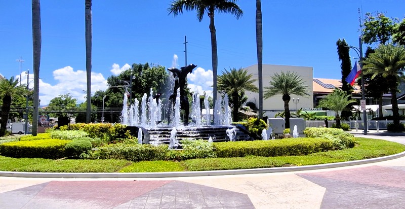
Plaza Magellan, a Megaworld Lifestyle Mall that will face the historical Mactan Shrine, brings to life the “Play” aspect of Mactan Newtown. Aside from housing the finest shopping, dining and entertainment choices, this three-level retail and commercial hub features a Spanish galleon flanked by Spanish steps and arches – reminiscent of the Spanish era in the Philippines.
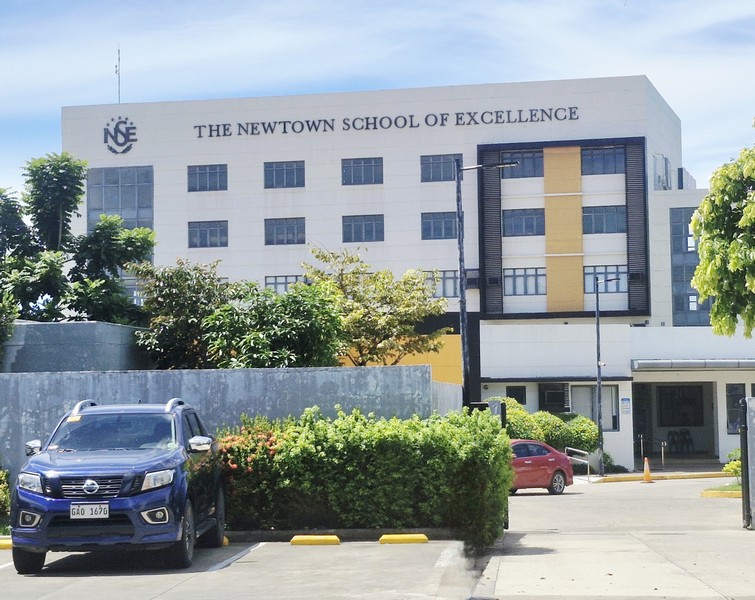
The Newtown School of Excellence features two buildings with a total of 16 classrooms that can accommodate up to 35 students each; a modern library, school clinic, General Science laboratory, computer laboratory, TLE (Technology and Livelihood Education) classroom, playground and a multipurpose gymnasium. It offers programs from Nursery up to Grade 9 levels and boasts facilities that complement children’s academic and extracurricular pursuits.
Global Leaders International School (GLIS) is an accredited Cambridge International School, at Tower 1, Plaza Magellan, offering International curriculum for ages PK–12 that delivers quality education using a progressive teaching approach.
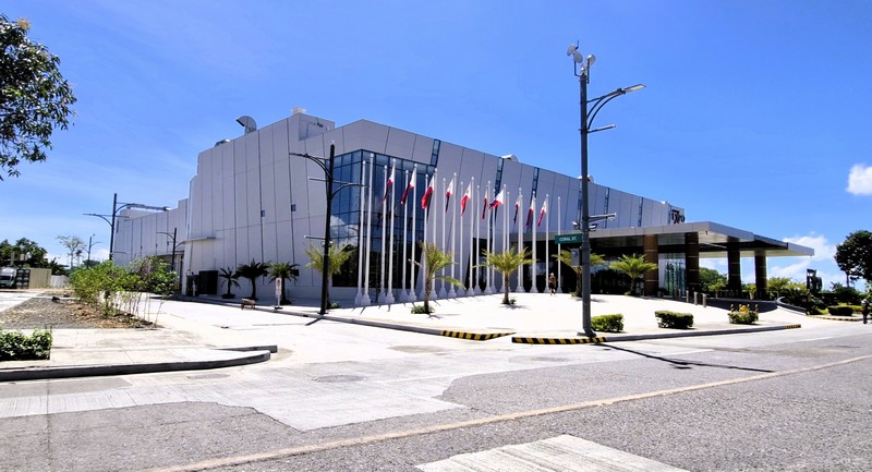
The Mactan Expo Center, a P1.5 billion standalone convention facility developed by Megaworld, has nearly 10,000 square meters of event space and a main hall that can accommodate about 2,500 people, in theater style, or 1,600 guests for banquets. The hall can also be divide into three smaller venues for simultaneous events.
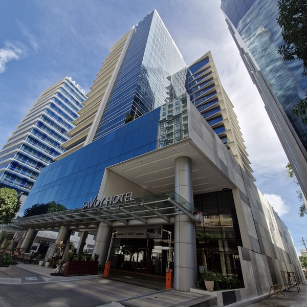
The area features two major, large-scale properties and various private condotels. The 18-storey, 547-room Savoy Hotel Mactan Newtown, highly favored by business travelers and a certified Muslim-friendly establishment, is the largest on Mactan Island. It features an outdoor pool, a gym, and access to nearby beach frolics.
Check out “Hotel and Inn Review: Savoy Hotel Mactan Newtown”
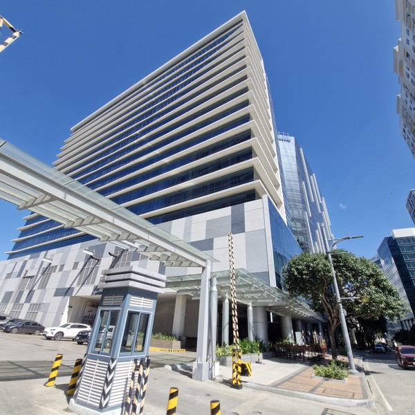
The 550-room Mercure Mactan Cebu, formerly Belmont Hotel Mactan, is the latest addition to the township. It offers premium meeting facilities, a large pool with cabanas, and a beach bar.
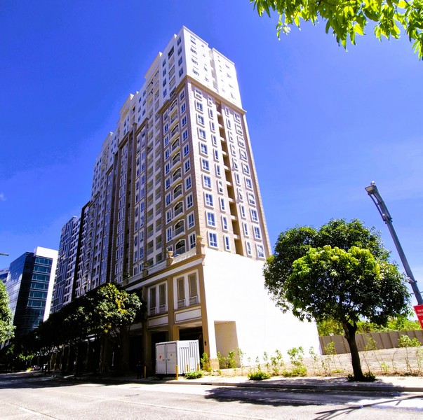
The Mactan Newtown caters to multiple residential developments. It offers a mix of completed and pre-selling condominium developments catering to investors, retirees, and locals. They include:
- 8 Newtown Boulevard – a Japanese-inspired residential cluster that includes four 18-stories high towers featuring lush garden decks, an infinity pool, and sky gardens.
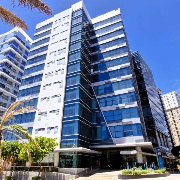
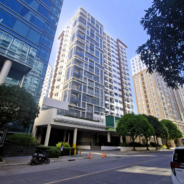
- The three-tower One Manchester Place – located near the Cyberpark and Newtown Beach, this residential complex features executive studios up to three-bedroom units.
- One Pacific Residence – located right at the center of the township, it features resort-style amenities, including a lap pool, in-pool lounge, and fitness gym.
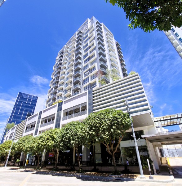
- The 20-storey The Pearl Global Residences – a tower inspired by the luxury of beachfront living, it offers studio to 3-bedroom configurations that will add 222 units from the Mactan Newtown’s 1,836 existing residential units from its inventory.
- The 21-storey Positano Mactan – a residential tower capturing the vibrant Italian resort lifestyle, it features exclusive amenities like an aqua gym, pool deck, and fitness center.
- The 20-storey La Victoria Global Residences – a Spanish-inspired condominium that will include 181 units, it blends modern living with the island’s rich historical heritage.
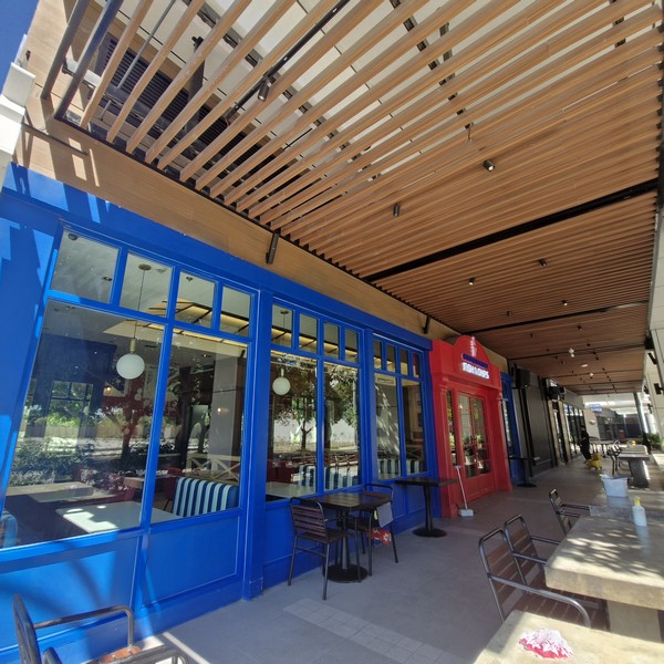
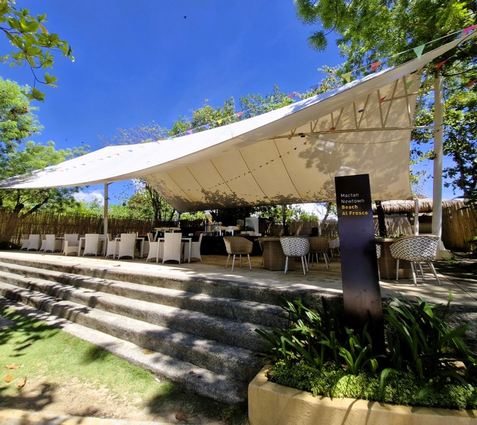
The Mactan Newtown also features a bustling food scene, highlighted by the Mactan Alfresco hawker center and the 8 Newtown Boulevard/Garden Walk retail strips. Dining options range from budget-friendly Filipino street food to casual international restobars. Foodies and diners will have their hands full choosing from some of Cebu’s finest dining establishments. They include:
- Choobi Choobi – famous for its “Shrimp in a Bag,” a one pound of fresh shrimp which comes with corn on the bob and sauce options like Butter Garlic, Cajun, Sauteed in Garlic and Spicy Gata. It also serves Filipino comfort food such as Choobi Pata, Lola Pepang’s Fried Manok and Fried Herbed Spring Duck (a free range duck fried with secret herbs and spices).
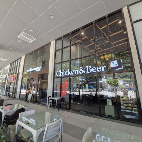
- Chicken & Beer – a highly rated Korean-style restobar, it offers crispy fried chicken and great beers.
- Gordon Ramsey Fish & Chips – located at the ground floor of Mercure Mactan Cebu, it offers traditional fish and chips using high-quality fillets (often Alaskan Pollock), shrimp, chicken combos, and fresh-squeezed lemonades.
- Kogi-Q – located at 8 Newton Boulevard, it offers a yakiniku buffet experience.
- Korea on the Plate – located at the ground floor of One Pacific Residence, it offers unlimited samgyeopsal for 550 pesos plus all Korean side dishes with unlimited refills.
- Samurai & Geisha – located inside One Pacific Residence, this popular restobar features both Spanish cuisine and a shisha lounge.
- Savoy Café – located inside Savoy Hotel, it serves a mix of Filipino and international à la carte dishes.
- Starbucks – located at the ground floor of 8 Newtown Boulevard
- Sugoi – Ramen Bar – located at Mangrove Place, it offers budget-friendly Japanese ramen.Zus Coffee
Mactan Alfresco, conveniently placed near the main entrance of Mactan Newtown, is a covered dining strip patterned after Singapore’s famed hawkers centers. This 350-seater food strip is designed to showcase the best authentic Cebuano cooking and cuisine—from a delicious variety of sinugba to Filipino favorites like skewered chicken, fish, shrimp, Cebu’s famous chorizo and the freshest seafood. One of its unique features is the large communal outdoor grill or ihawan.
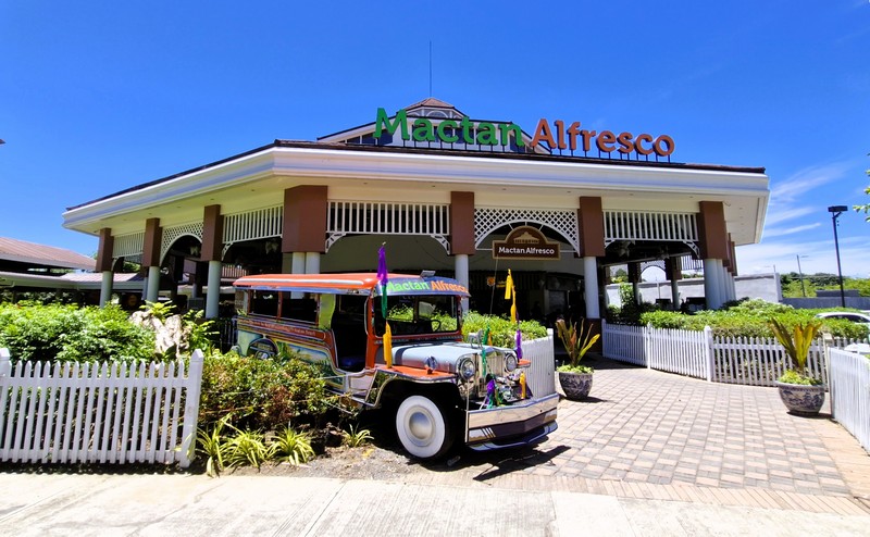
A perfect way to cook Cebu’s bounty of land and sea, guests can choose from an array of freshly cooked food choices “turo-turo” style or choose fresh meat and seafood and have it cooked according to their preference. Each viand is partnered with puso (rice wrapped in triangular buri leaves) which one eats with their bare hands. Diners here can also enjoy lechon, “the world’s best pig” (as the late Anthony Bourdain puts it) and Cebu’s culinary pride in the most delectable and freshest of ways with its six “lechon pits,” thrilling guests who can now experience lechon roasting on the premises while enjoying the freshest lechon. Stalls include:
- Anna’s Lechon – serves delicious lechon paksiw and dinuguan.
- Cebu AyerLechon – Cebu’s No. 1 lechon-maker
- Cebu’s Original Lechon Belly – try out their lechon belly, which comes in spicy and regular flavor.
- Conching’s – a homegrown Cebuano brand, it is among the few places that offer a taste of native Cebu chicken or “Manok Bisaya,” which is best enjoyed grilled.
- Hukad Cafe – offers irresistible varieties of sisig to delectable renditions of lechon and pansit.
- Lolo Pinoy Grill
- Mama Linda Inato BBQ Haus – serves a menu filled with delicious, sizzling grilled food and fresh seafood such as Sizzling Gambas, Beef, Pork, Squid, Seafood and even Chicken Feet. They also have Crab ala King in Chili Sauce, Garlic Shrimp and Garlic Crab, Sweet & Spicy Sugpo, Steamed Lapu-Lapu and Crispy Pata.
- Manang Sayong – serves authentic Pinoy gastronomy such as pochero, sinuglaw (a delicious combination of grilled meat and ceviche), along with a variety of seafood, pork, beef and chicken dishes.
- Mers Paluto – here you can pick fresh ingredients and have them cooked to order.
- Meximama – offers Mexican favorites such as Taco Carnitas, the Costillas de Cerdo or Pork Ribs and for a sweet finish, their Churros con Chocolate.
- Muvanz Pocherohan and Seafoods – aside from a great grilled seafood selection, it is known for their rich, savory beef pochero (beef marrow stew), their rich scallops (saltwater clam cooked with cream and butter) and sizzling squid.
- Orange Brutus
- Orange Karenderia – a Mandaue-based eatery that serves Cebuano favorites and equally delectable exotic dishes and is known for its bestsellers Betsy’s Garlic Chicken, their crispy Tuna Buntot or Pork Barbecue.
- Oyster Bay Seafood Restaurant – one of Mandaue’s finest dining destinations known for its wide selection of live and fresh fish, crabs and lobster dishes, it offers dishes such as the Halaan Soup, Oysterbay Crab as well as Filipino and Chinese favorites such as lechon kawali, Bicol express, Patatim and other.
McDonald’s and Jollibee are also conveniently located across the highway just outside the main township gates.
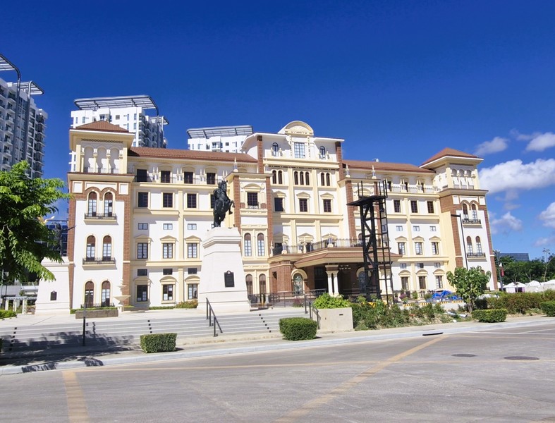
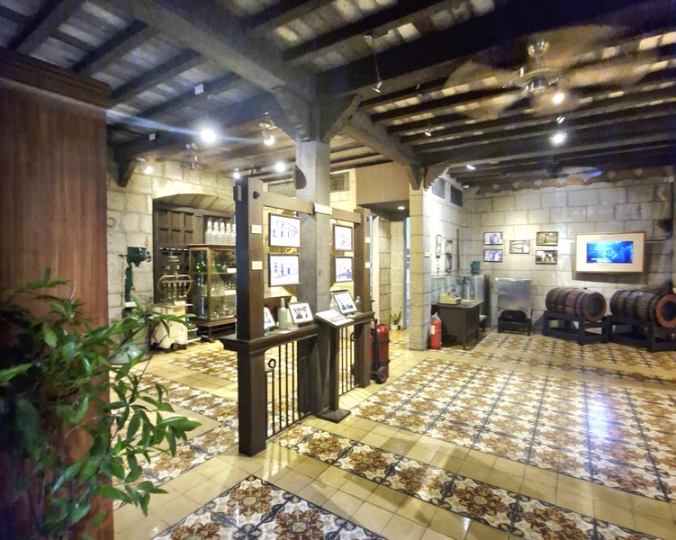
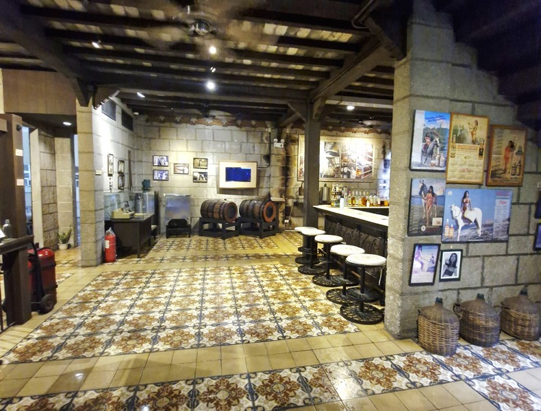
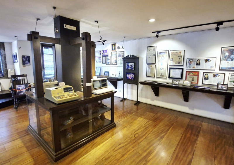
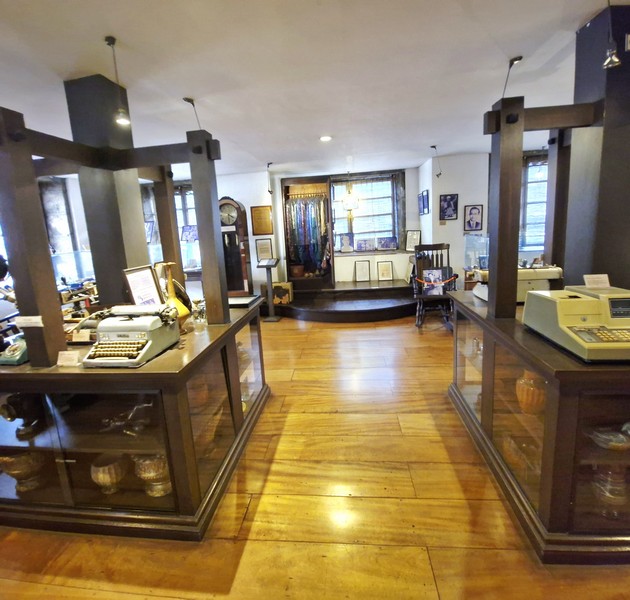
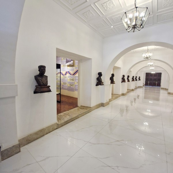
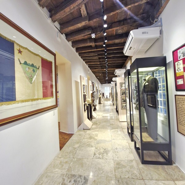
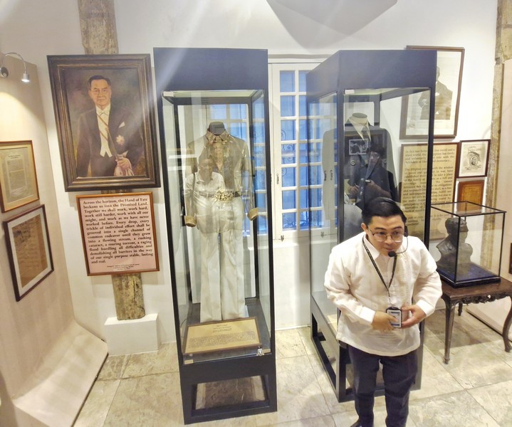
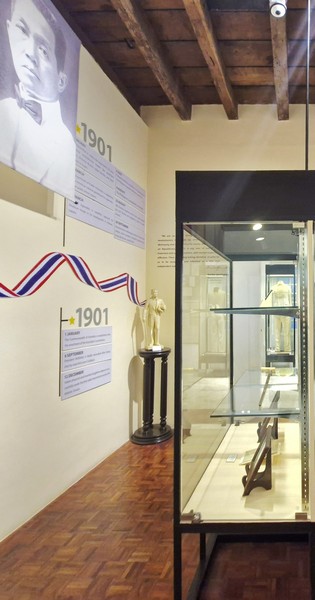
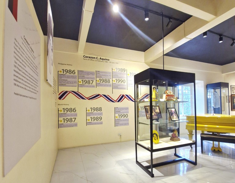
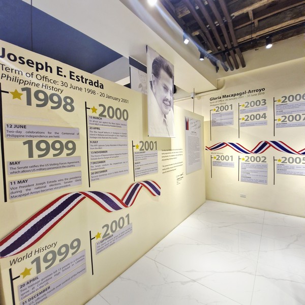
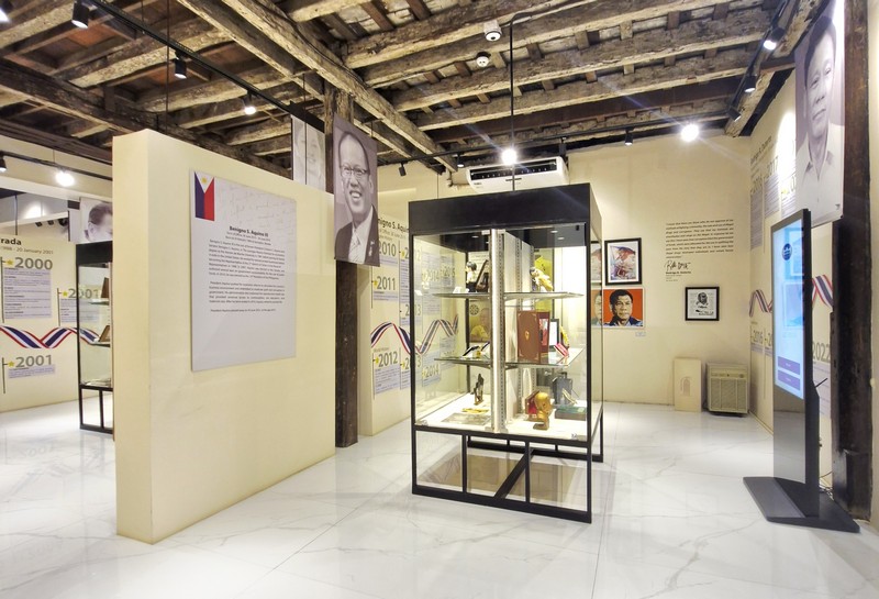
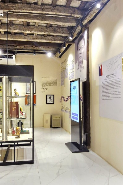
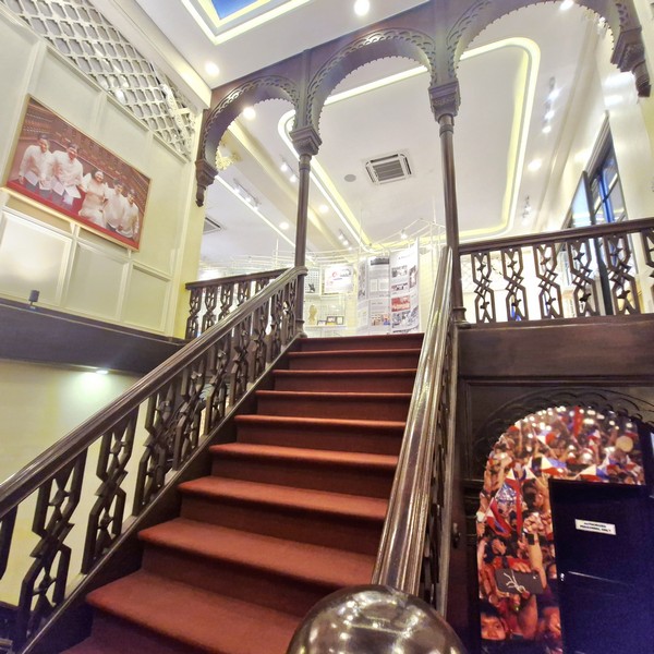
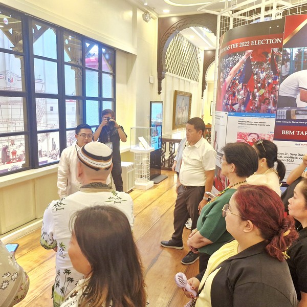
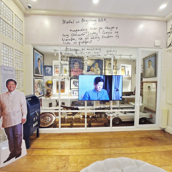
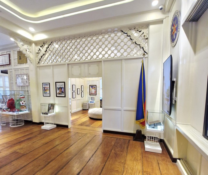
Soon to open is the Mactan World Museum, a P1.2-billion cultural landmark that will highlight the historical exchange between the Philippines and Spain, featuring five galleries detailing the arrival of Ferdinand Magellan, the Battle of Mactan, and the Manila Galleon trade.
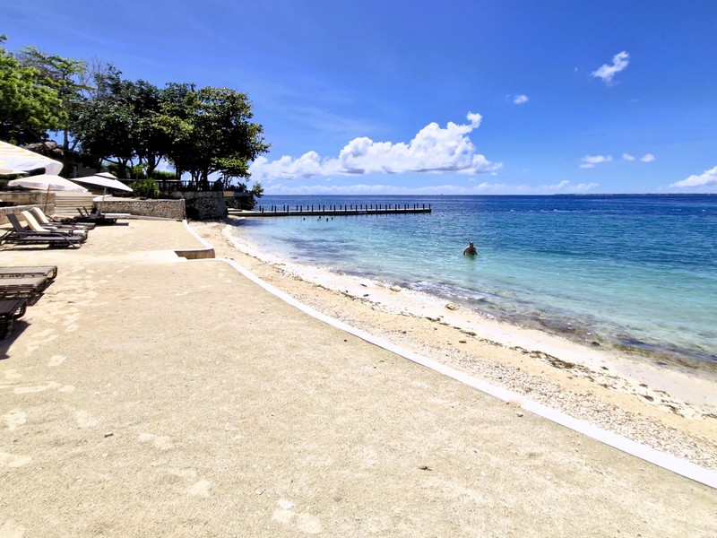
Mactan Newtown Beach, formerly Portofino Beach Resort, was opened in 2020. With its magnificent view of the Hilutungan Strait, it offers a large, 1.5-m. (5-ft.) deep infinity swimming pool (with a covered wading area and a pool bar), private thatched-roof lounging cabanas and shaded lounge chairs situated along the poolside and the 75-m. wide, white sand beach, meticulously landscaped gardens, shops, and a state-of-the-art fitness station and a small, picturesque pier. A variety of water sports activities such as banana boat rides, jet skiing, and parasailing are available. The adjacent boardwalk also serves as a departure point for island-hopping trips to the nearby islands.
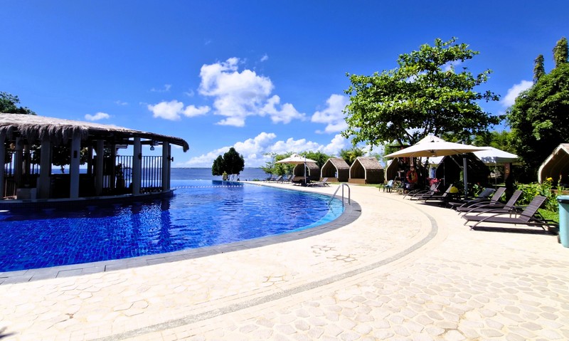
Day-use packages typically range from ₱1,088 to ₱1,288, covering beach and pool access, use of cabanas, and a lunch buffet. Guests staying at the Mercure Hotel or Savoy Hotel Mactan Newtown usually receive free beach and pool access. Open daily, from 6 AM to 10 PM, on weekends, and 6 AM to 8 PM on weekdays. Swimming is restricted during the later evening hours.
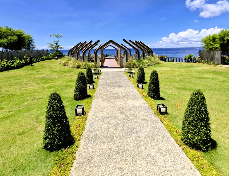
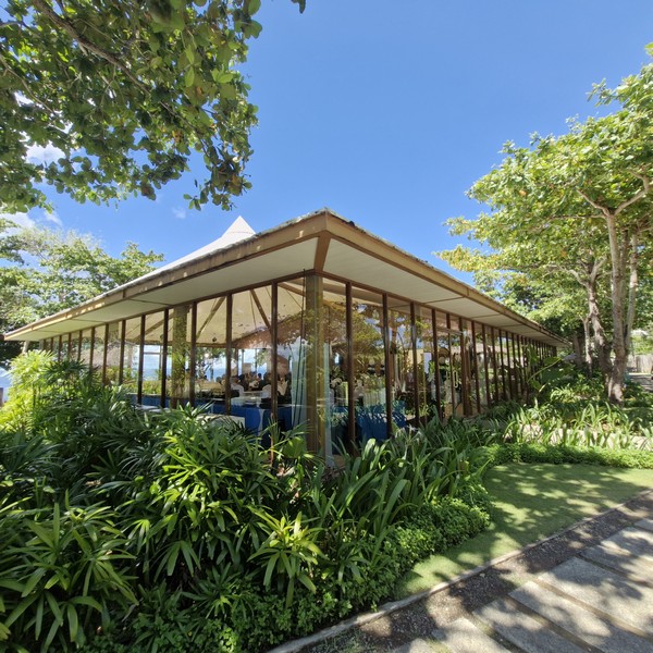
The oceanfront, 150-pax Ceremonial Garden, introduced in 2023, is a romantic outdoor event space facing the sea. It is often used for destination beach weddings, vow renewals, and intimate gatherings and is frequently booked in conjunction with the the 150-pax capacity Grand Beach Tent and the 300-pax Glass Pavilion.
Mactan Newtown has its own public terminal (Newtown Public Transport Terminal), located just outside the township, which caters to the Mactan Newton to Danao City, Danao City and IT Park routes and vice-versa.
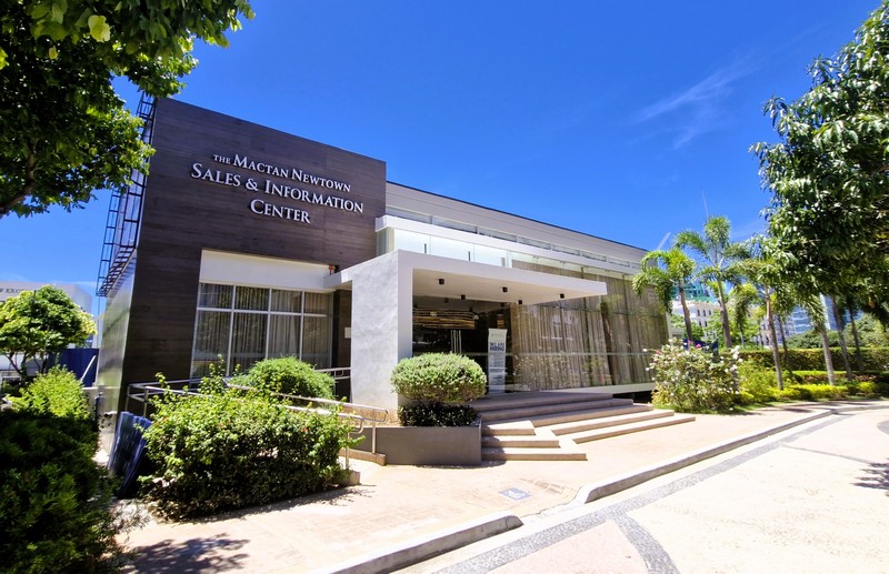
Mactan Newtown: Newtown Blvd., Mactan Circumferential Rd., Lapu-Lapu City, 6015 Cebu. Mobile numbers (sales and information): (0917) 634-2257or (0998) 312-6276.
Savoy Hotel Mactan Newtown: Tel: +032 494-4000. Mobile number: (0917) 868-6746 and (0917) 871-8007. E-mail: reserve@savoymactan.com and info@savoymactan.com. Social Media Pages (Facebook, Instagram, YouTube): Savoy Hotel Mactan Newtown | Facebook / @savoymactannewtown / Savoy Hotel Mactan Newtown.
Mercure Mactan Cebu: Tel: +32 520-4100. Mobile number: (0917) 861-1019. E-mail: HC586@accor.com. Website:Mercure Mactan Cebu ALL Accor.
Mactan Newtown Beach: Tel: (032) 316 2715. Mobile number: (0917) 704-4893.