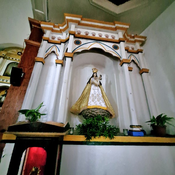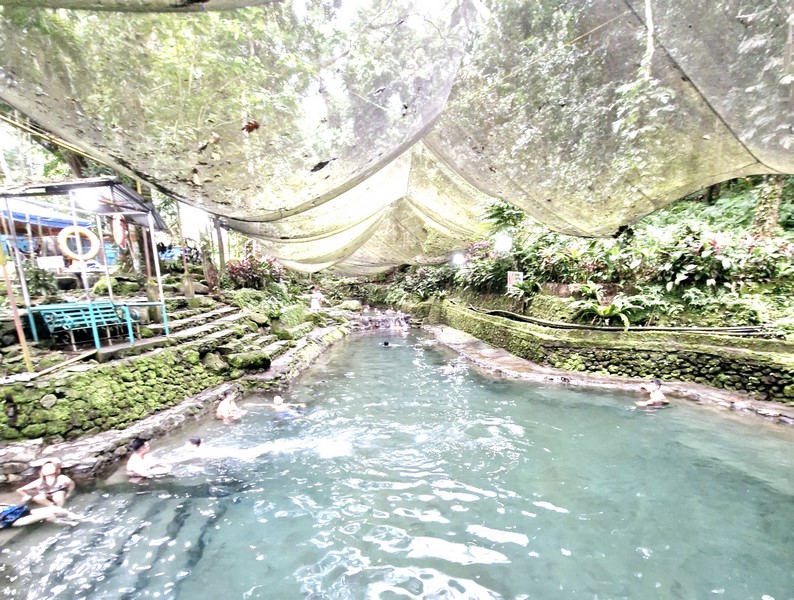
Ardent Hot Spring
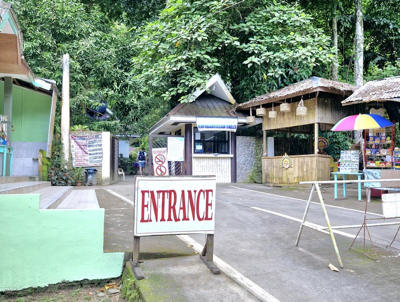
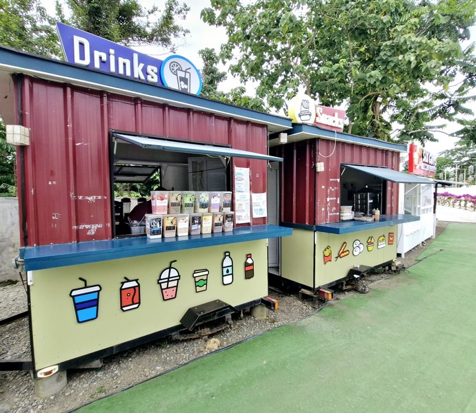
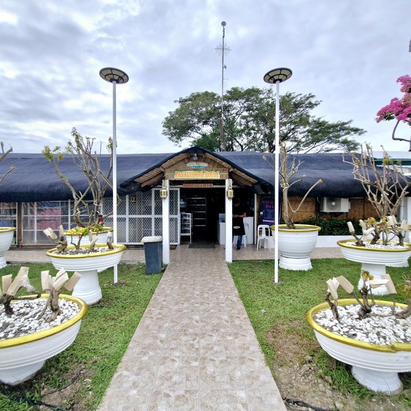
After our visit to Katibawasan Falls, we again boarded our multicab for the 10.4-km. (25-min.) drive, via the Camiguin Circumferential Rd., to our last destination – Ardent Hot Spring. Formerly under the Philippine Tourism Authority, it is now a government-owned and municipal government-run recreational and leisure facility since 1999. As always, there are souvenir shops and food stalls at the entrance.
Check out “Katibawasan Falls” and “Survivng Mt. Hibok-Hibok“
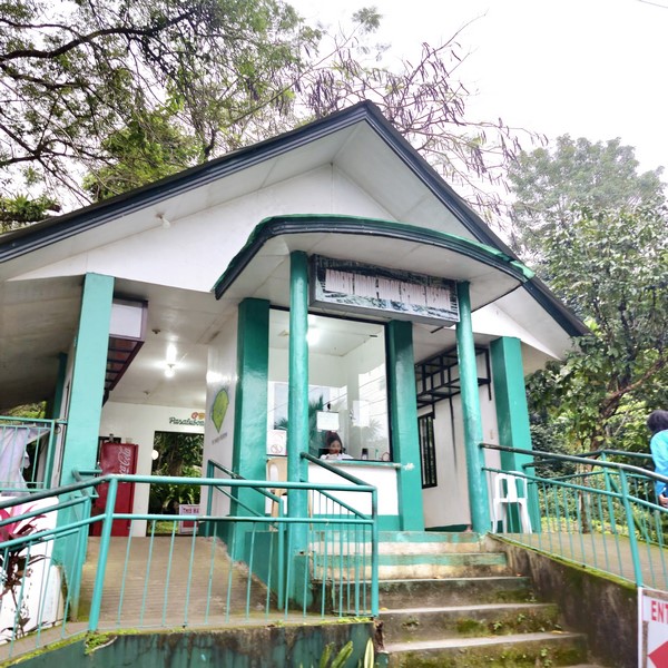
The spring’s entrance
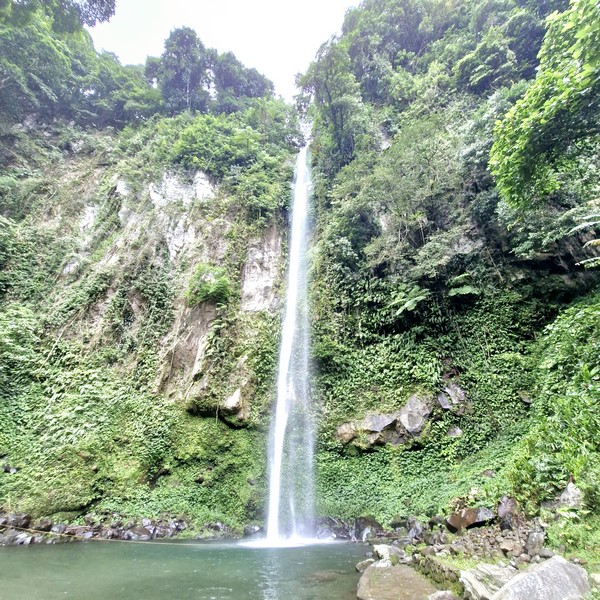
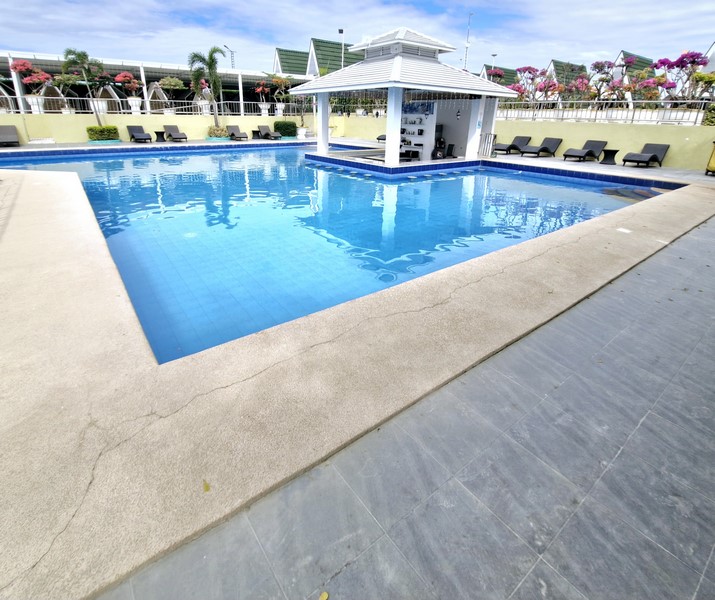
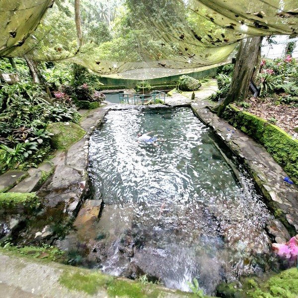
In the past, this therapeutic mineral spring, gushing forth from the bowels of Mt. Hibok-Hibok into three beautifully-designed natural stone swimming pools, with varying depths, were scaldingly hot with water temperature registering an average of 40°C and reaching as much as 50°C. Picnickers even boil fresh eggs on the shallow portions.

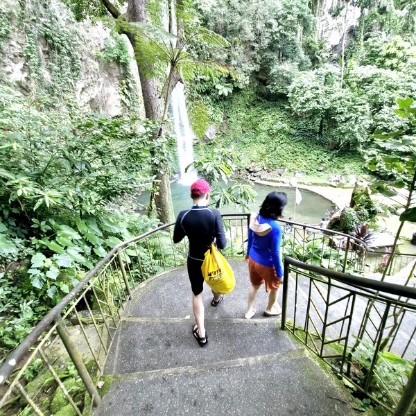
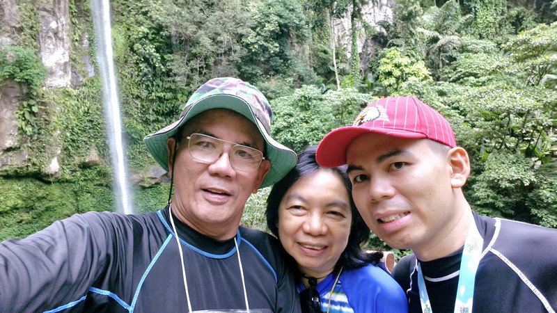
Jandy. Grace and Lourdes on a bridge between two pools
It was certainly that way during our first visit on April 11, 2001 when we dipped our tired, aching muscles here after our daylong hike up and down the 1,250 m. high Mt. Hibok-Hibok.
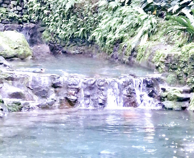
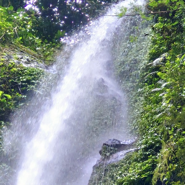
A Min-waterfall
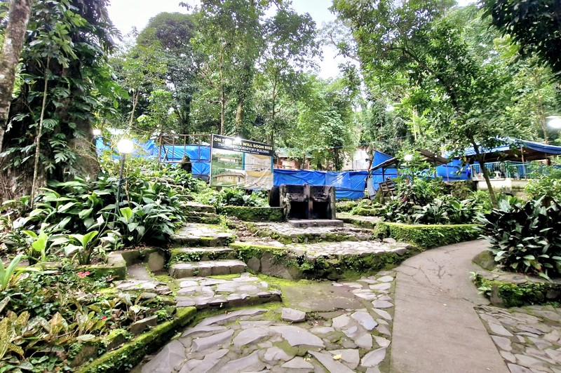
In September 2007, rehabilitation was started in anticipation for the influx of tourists attending the October Lanzones Festival. During the COVID 19 pandemic, it was closed for over two years and only reopened to the public on August 19, 2022.
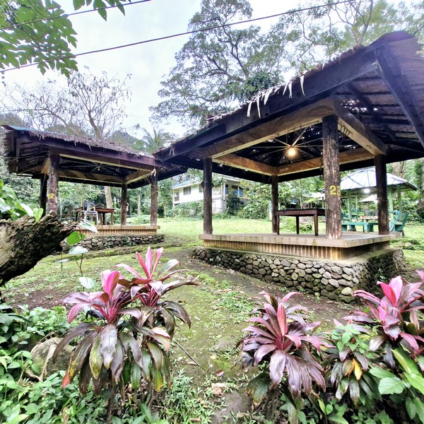
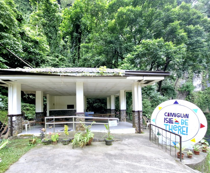
Picnic huts
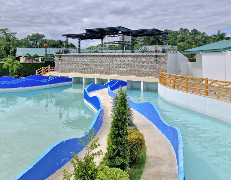
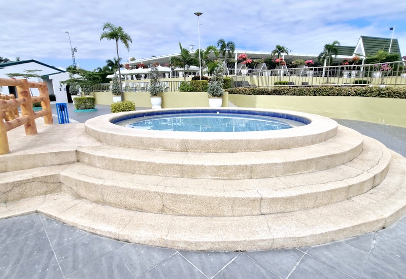
However, during this recent visit, it was no longer that way. We were disappointed as the three upper pools (with nets to keep the leaves, from the towering trees, off the pool) were cold and only the smaller, lower level pool was lukewarm. This is where we took a dip.
Definitely not hot and totally underwhelming. It is said that a recent earthquake shifted the plates underneath and hot water no longer flows here naturally. I suggest they rename the place as its waters are no longer hot. The facilities also need upgrading.
Ardent Hot Springs: Sitio Esperanza, Brgy. Tagbo, 9100 Mambajao. Admission: Php50/pax. Open daily, 6 AM to 10 PM. Tables and chair rental: Php150.
How to Get There: The springs is located 6 kms. (4.2 kms. rrom the main road) southwest of the town. To get there, take a 3.5-km. motorella ride from Mambajao to Brgy. Kuguita. It is a 2.5-km. hike from Kuguita Church.