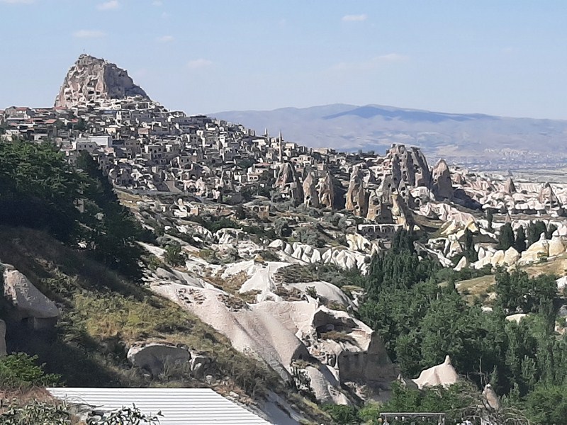
Chawa View Deck
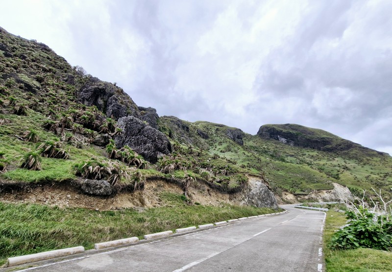
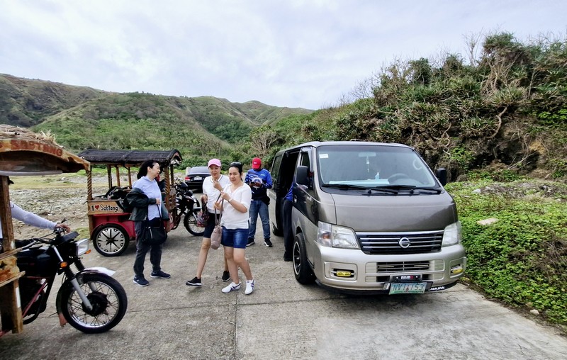
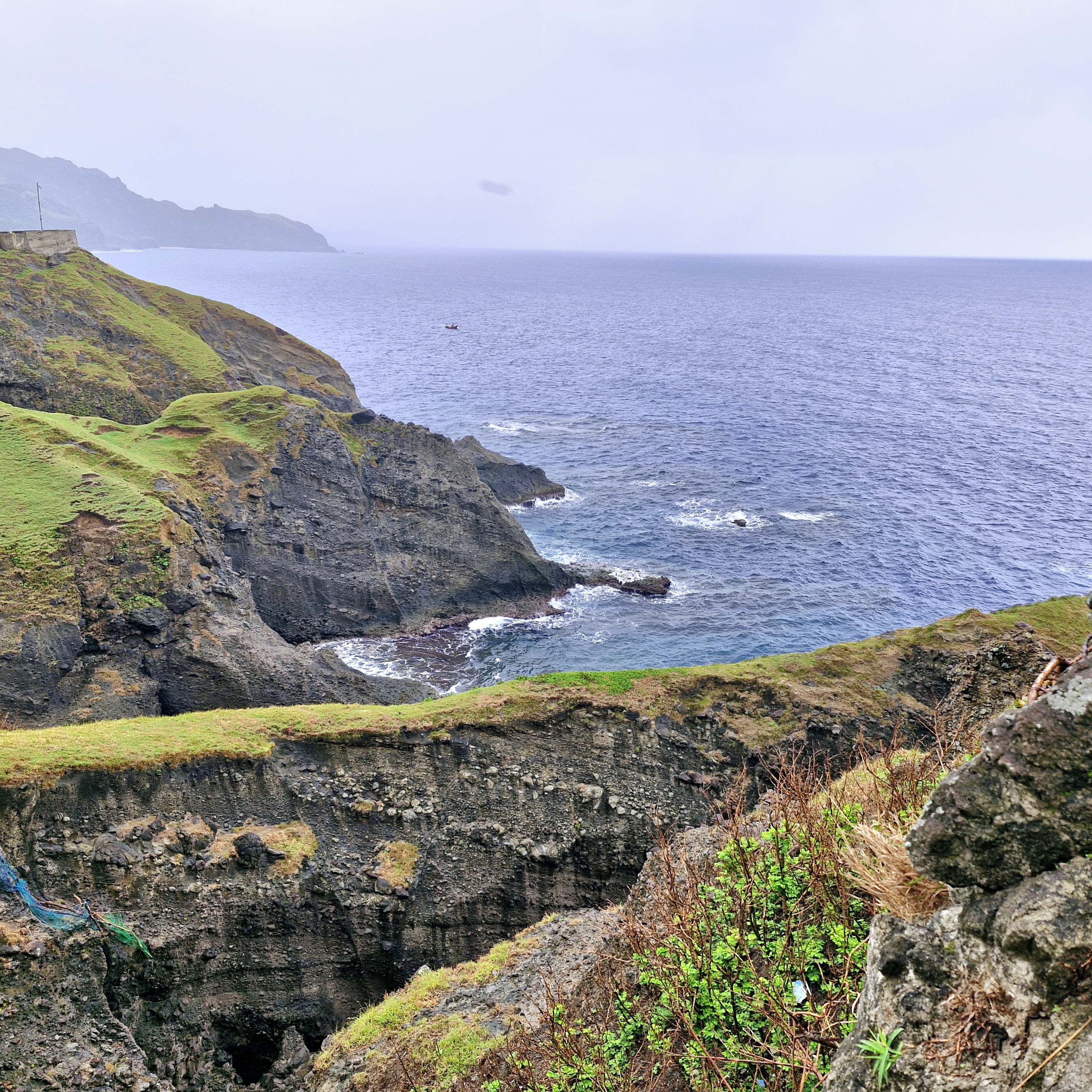
On our third day in Batanes, after breakfast at the hotel, it began to rain when we boarded our van for the 1.8-km. (a 5-min.) drive, along winding roads, to the first stop of our Southern Batan Island Tour – the breathtaking Chawa View Deck (also called Mahatao View Deck or Chanarian View Deck). The word chawa came from the Ivatan word meaning “cliff.”
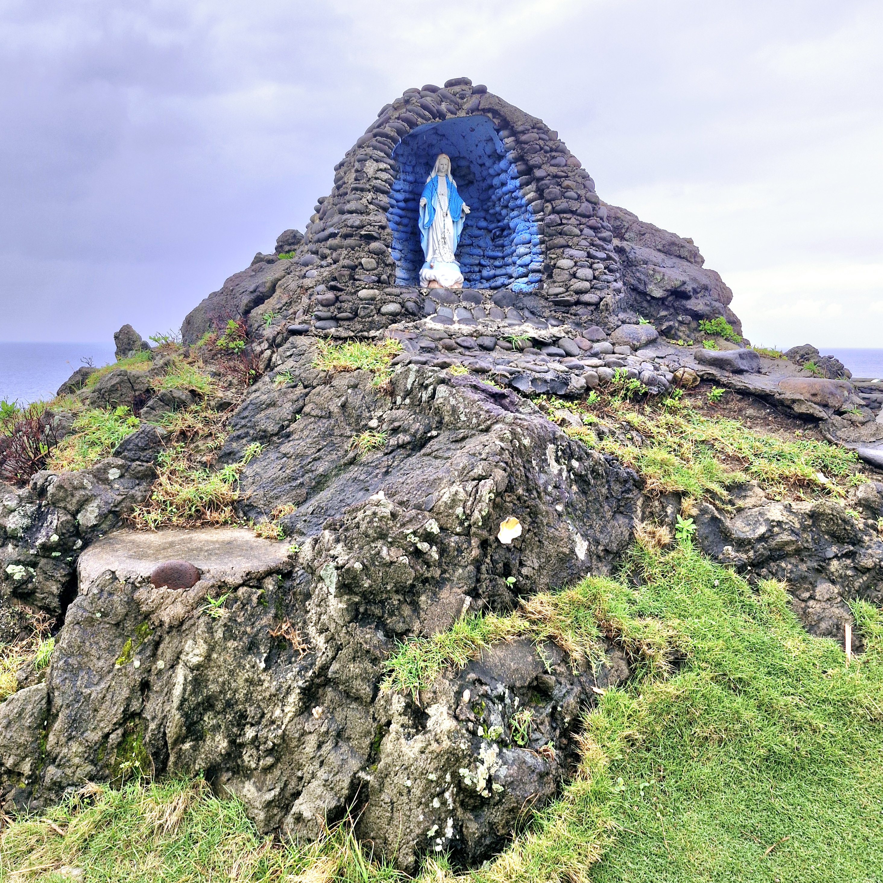
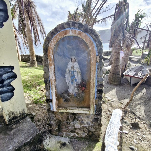
Grotto of the Virgin Mary
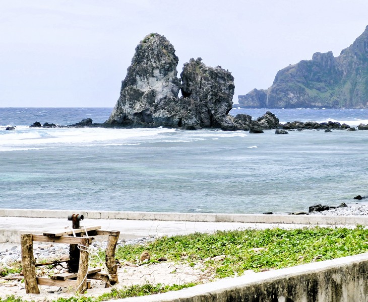
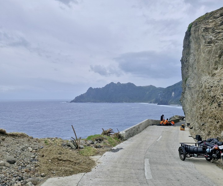
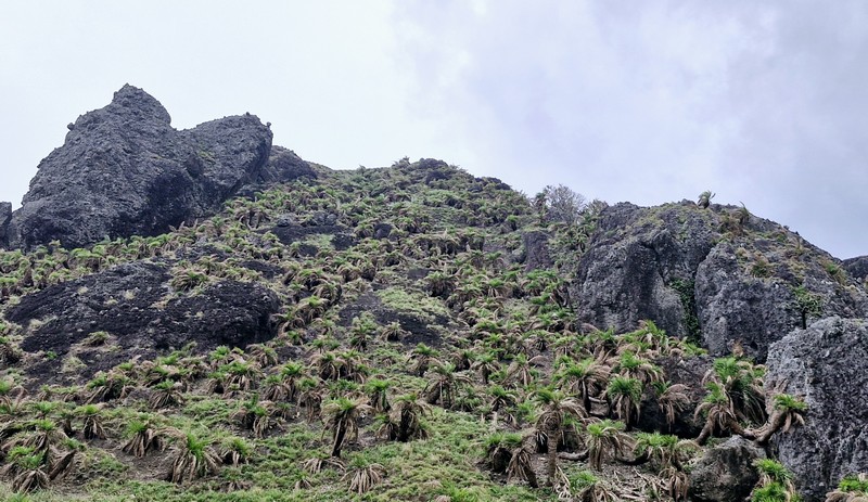
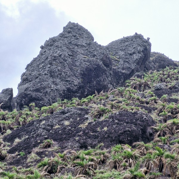
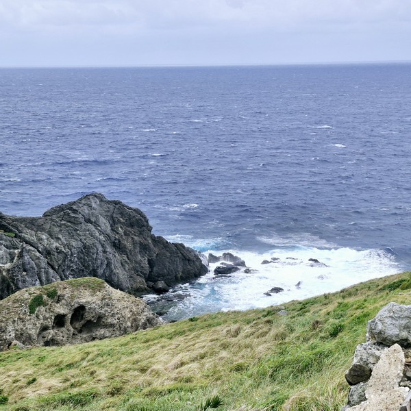
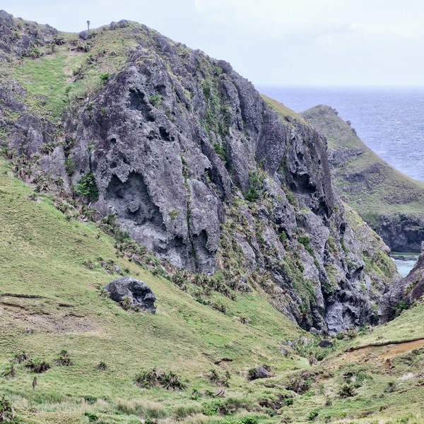
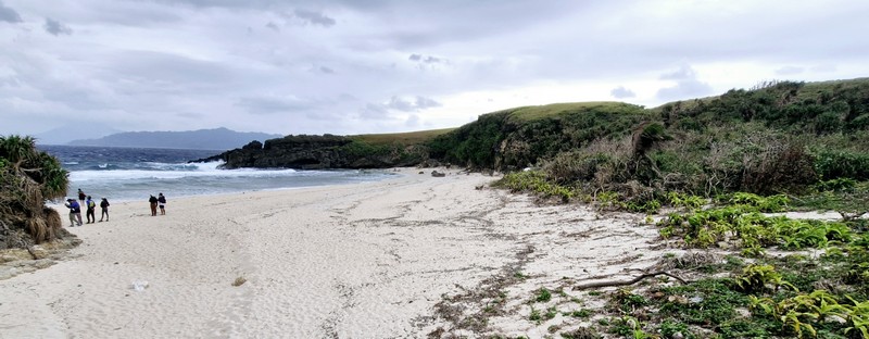
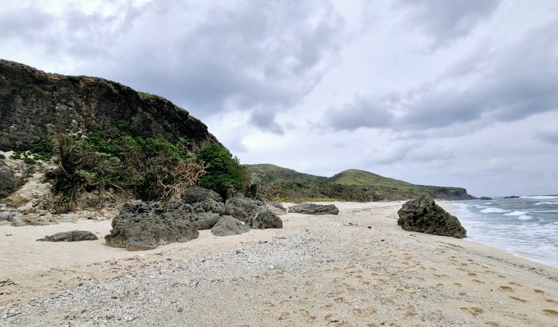
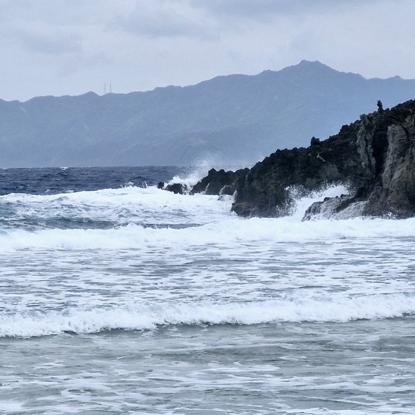
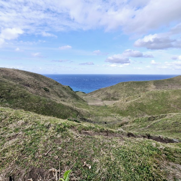
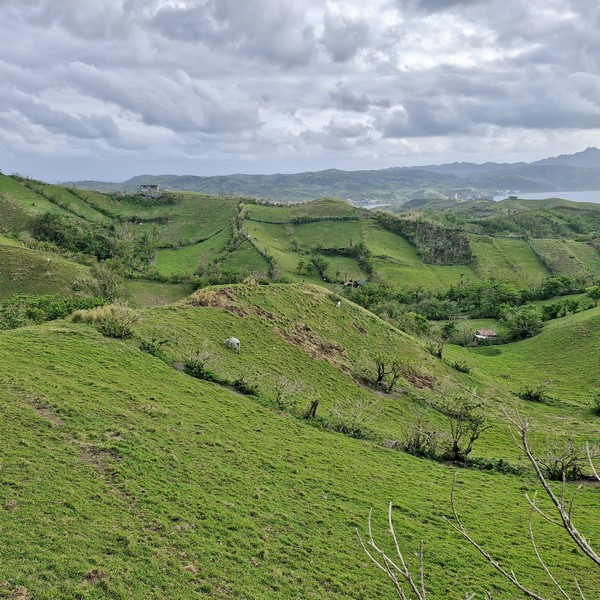
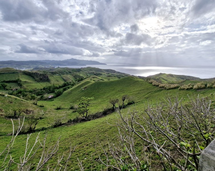
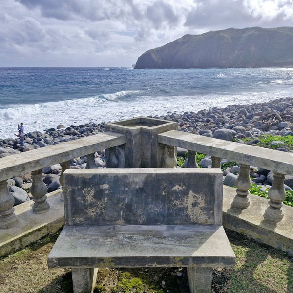
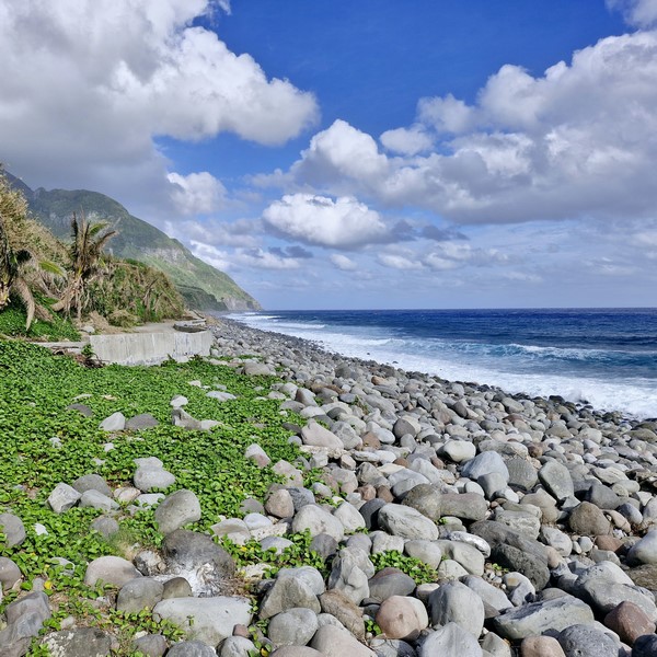
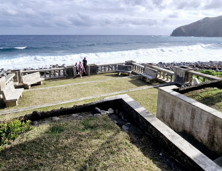
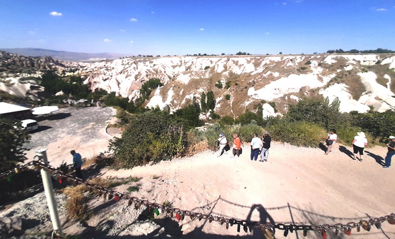
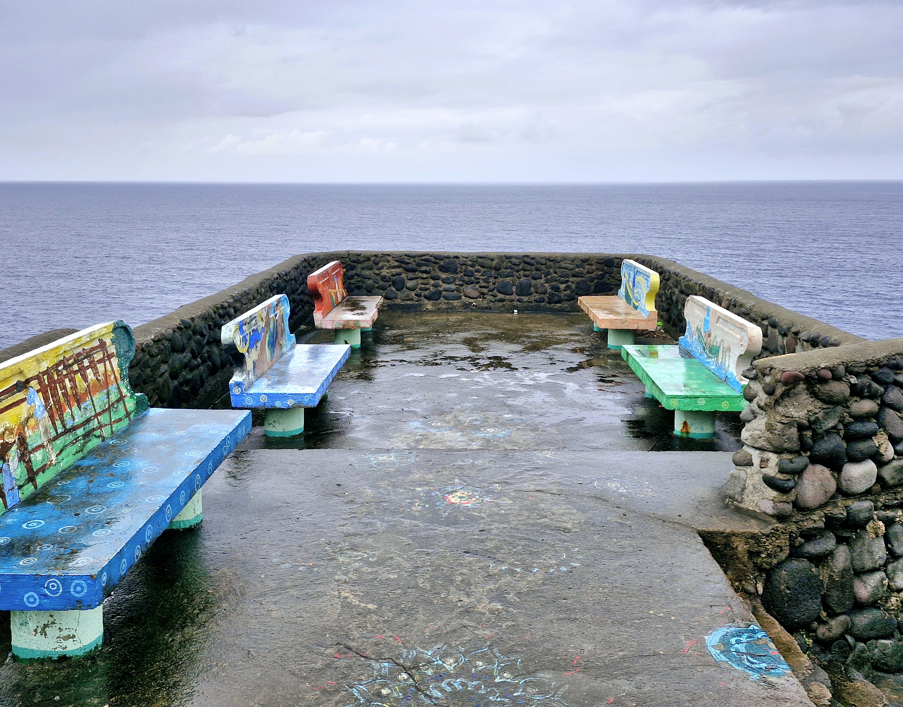
Upon arrival, we first encountered a grotto of the Blessed Virgin Mary then some concrete benches where one can sit (if it weren’t wet) and have a panoramic view of the West Philippine Sea beyond, the pounding waves below, the rolling green hills and the rugged western cliffs that hug the road to the southern towns.
View from the deck
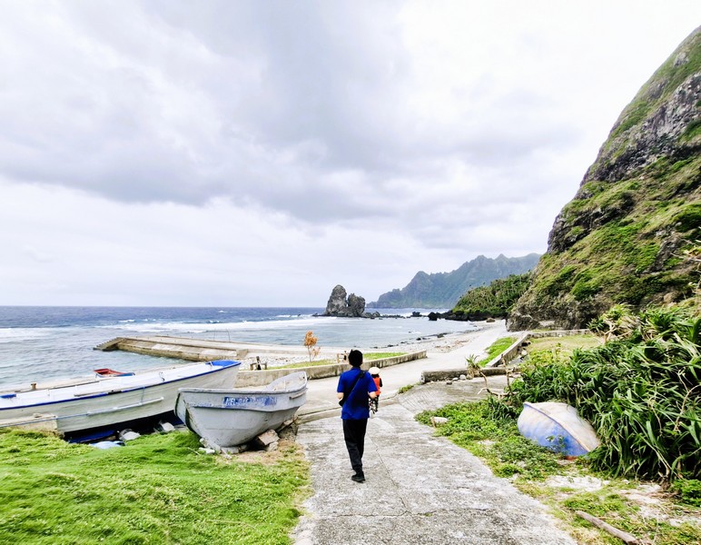
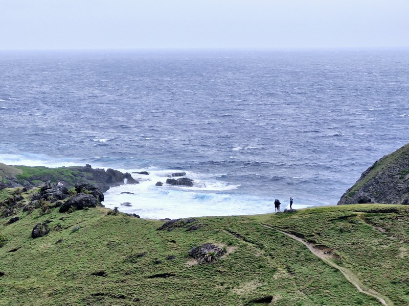
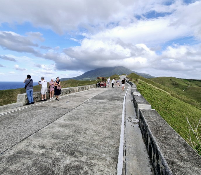
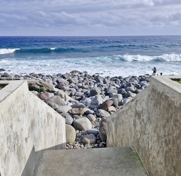
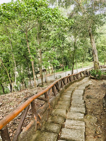
The cliff also has a steep concrete stairway, with 100 or so steps, that lead down to the sea where you can dip your feet in the cool waters, take additional photos, go fishing or just watch the waves hitting the rocks. During low tide, there is a mini pool.
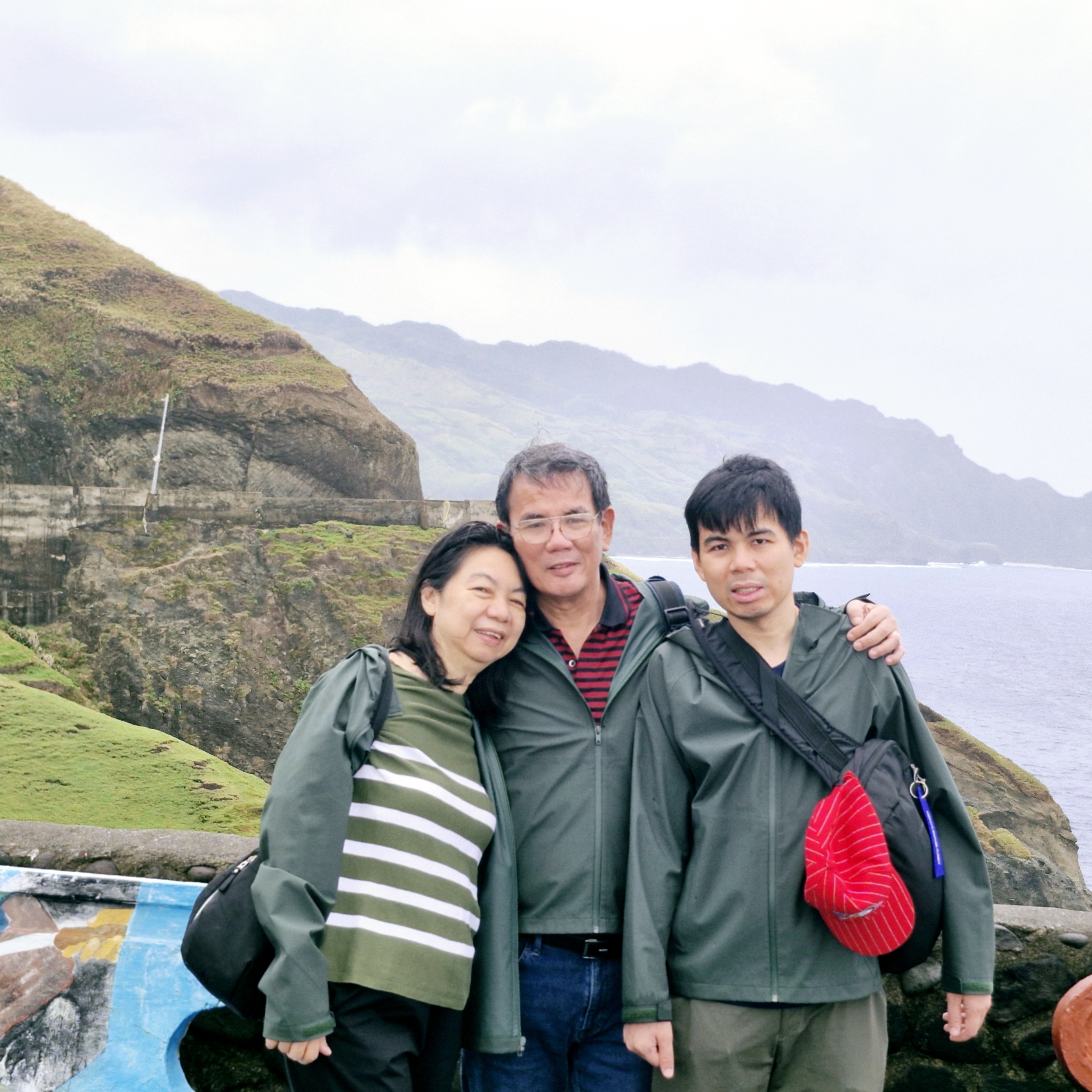
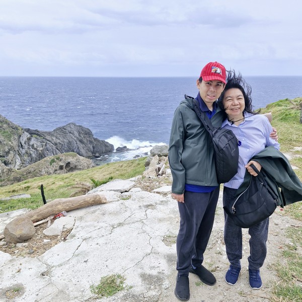
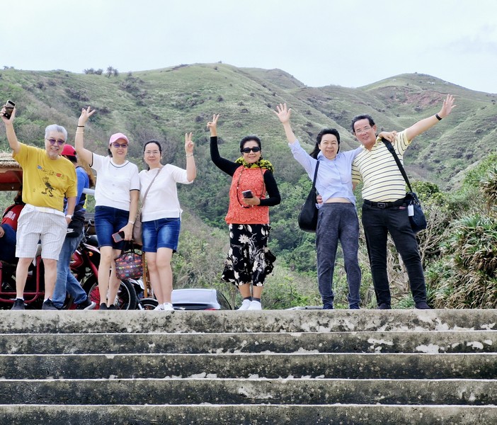
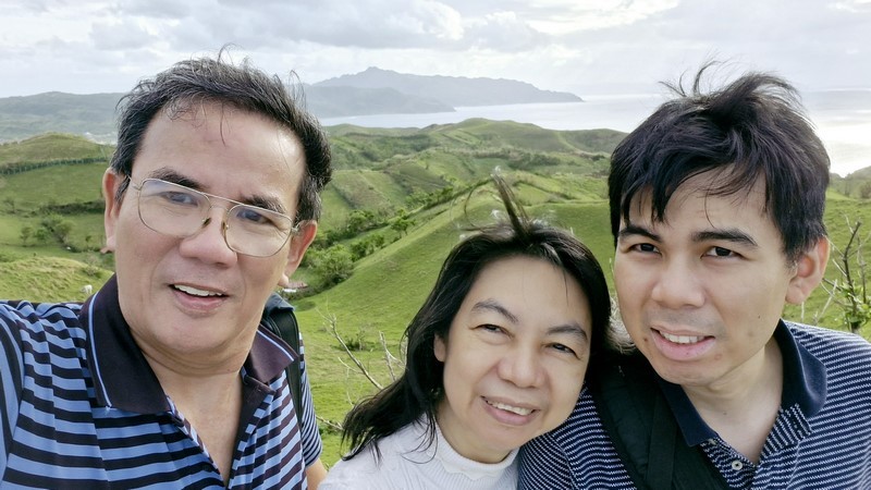
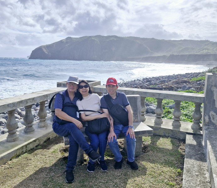
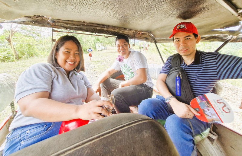
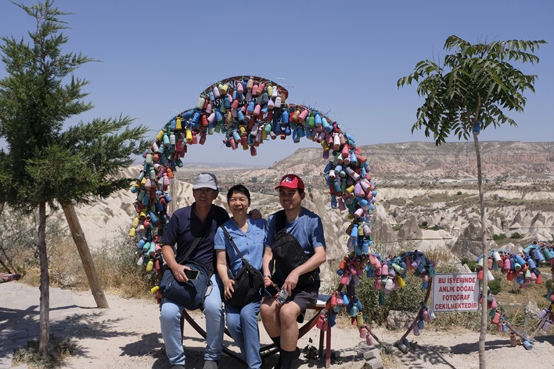
L-R: Grace, the author and Jandy
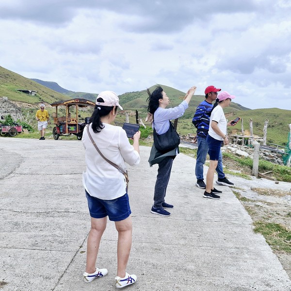
We didn’t go down the stairway as climbing back up would be quite a workout and the steps were very slippery and dangerous to step on after the rain. Instead, we simply relaxed, took photos and enjoyed the breeze and the view.
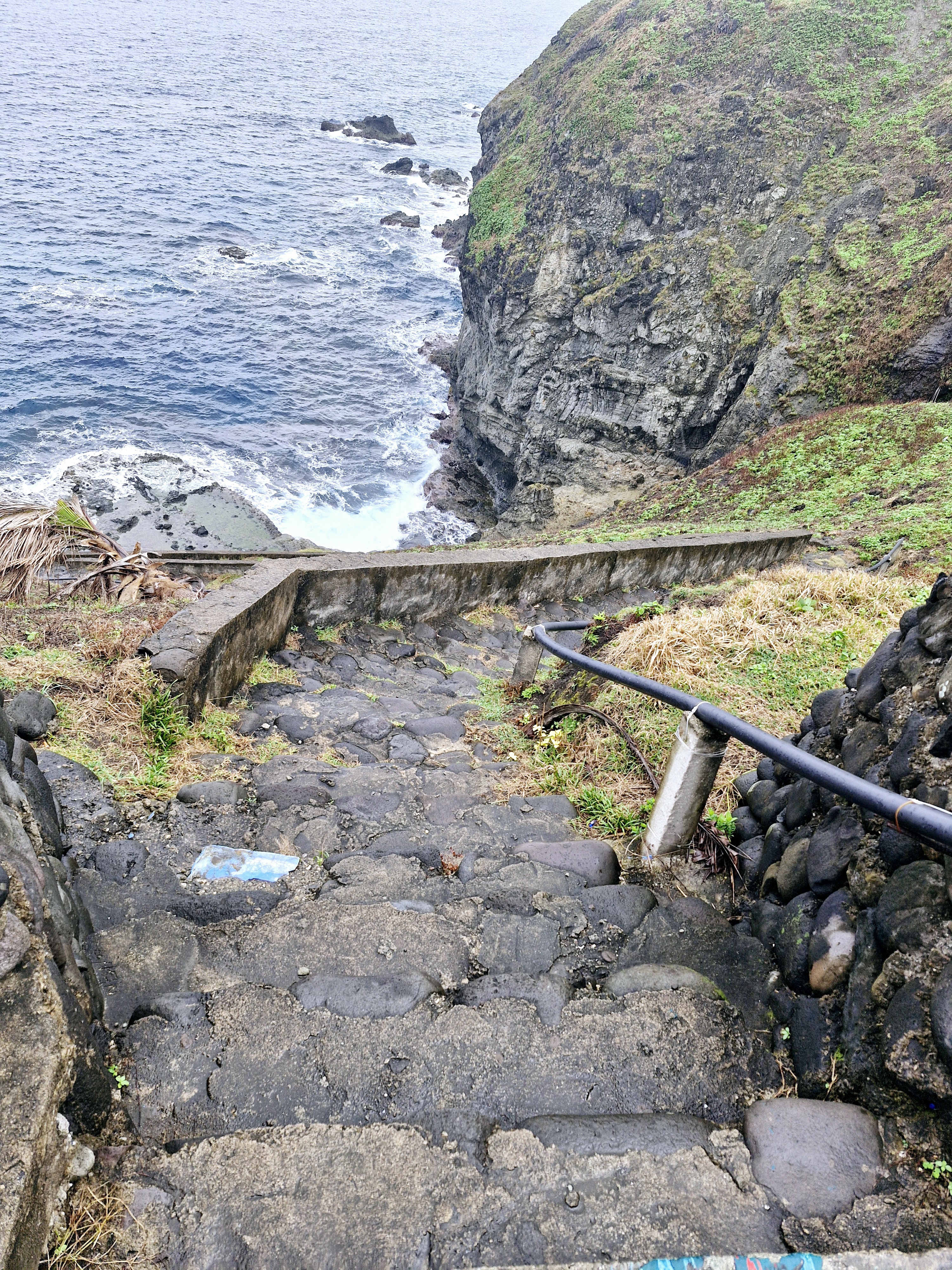
Concrete steps leading down to the shore
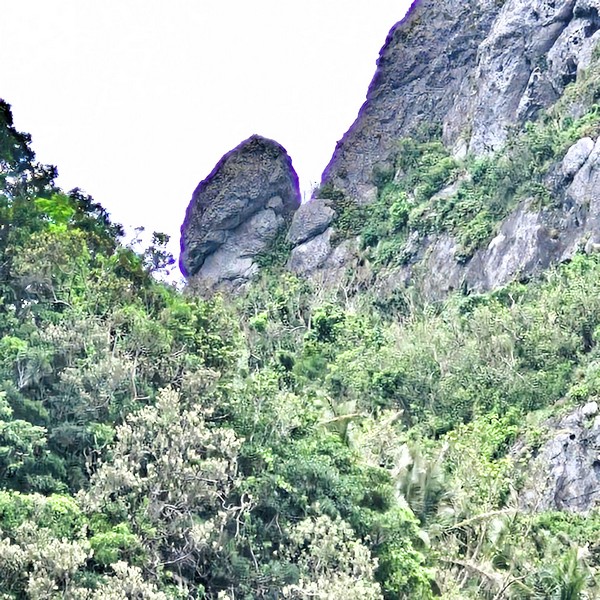
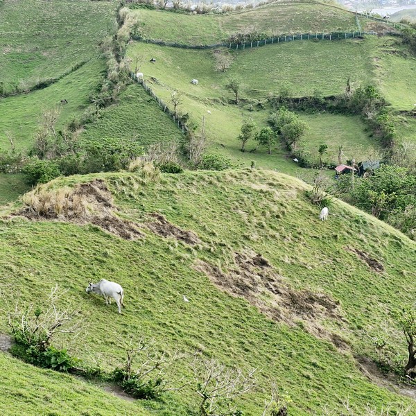
Some distance from the view deck, I espied a pair of extraordinary mountain goats defying gravity as they clung precariously off the steep mountain side.
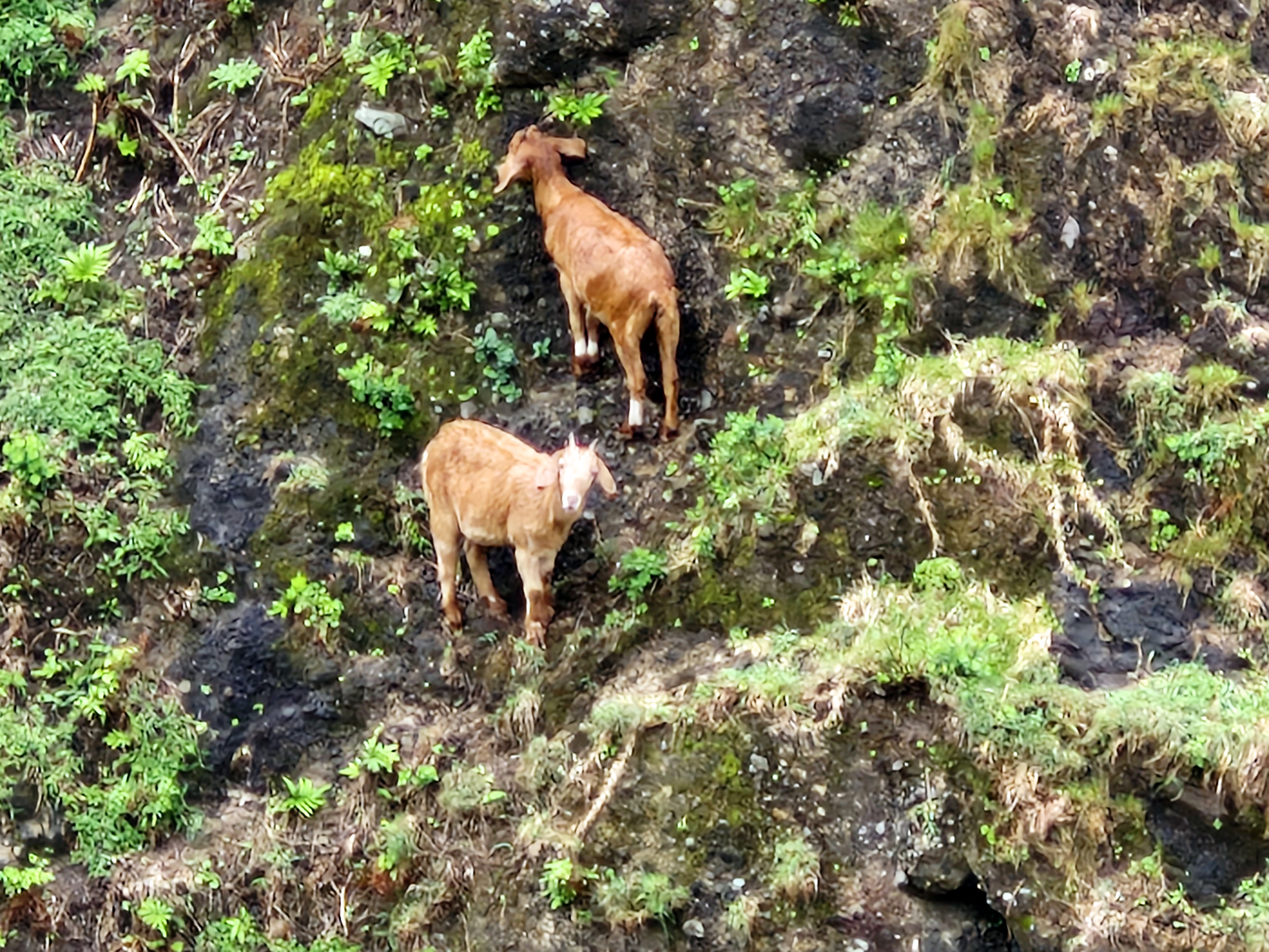
Two mountain goats clinging precariously to the mountain sides.
Chawa View Deck: Basco National Rd., Brgy. Hanib, 3901 Mahatao.
How to Get There: Mahatao is located 13.4 kms. (a 30-min. drive) south of Basco. The viewing deck is located at the top of the Chawa winding road within Mahatao.
Provincial Heritage and Tourism Office (PHTO): Mobile number: (0929) 230-5934. Website: www.breathtakingbatanes.com.